Trikut Pahar Trek
Deoghar, Jharkhand
Opens without signal on this phone, with the map file and checklist. Saved for offline →
- Max altitude
- 753 m
- Days
- 1 day
- Distance
- 4 km
- Difficulty
- Easy
A day hike of about two hours up a stairway and rocky trail, climbing roughly 1,500 ft (about 450 m) from the foot; the third peak is too steep and is not open.
About this trek
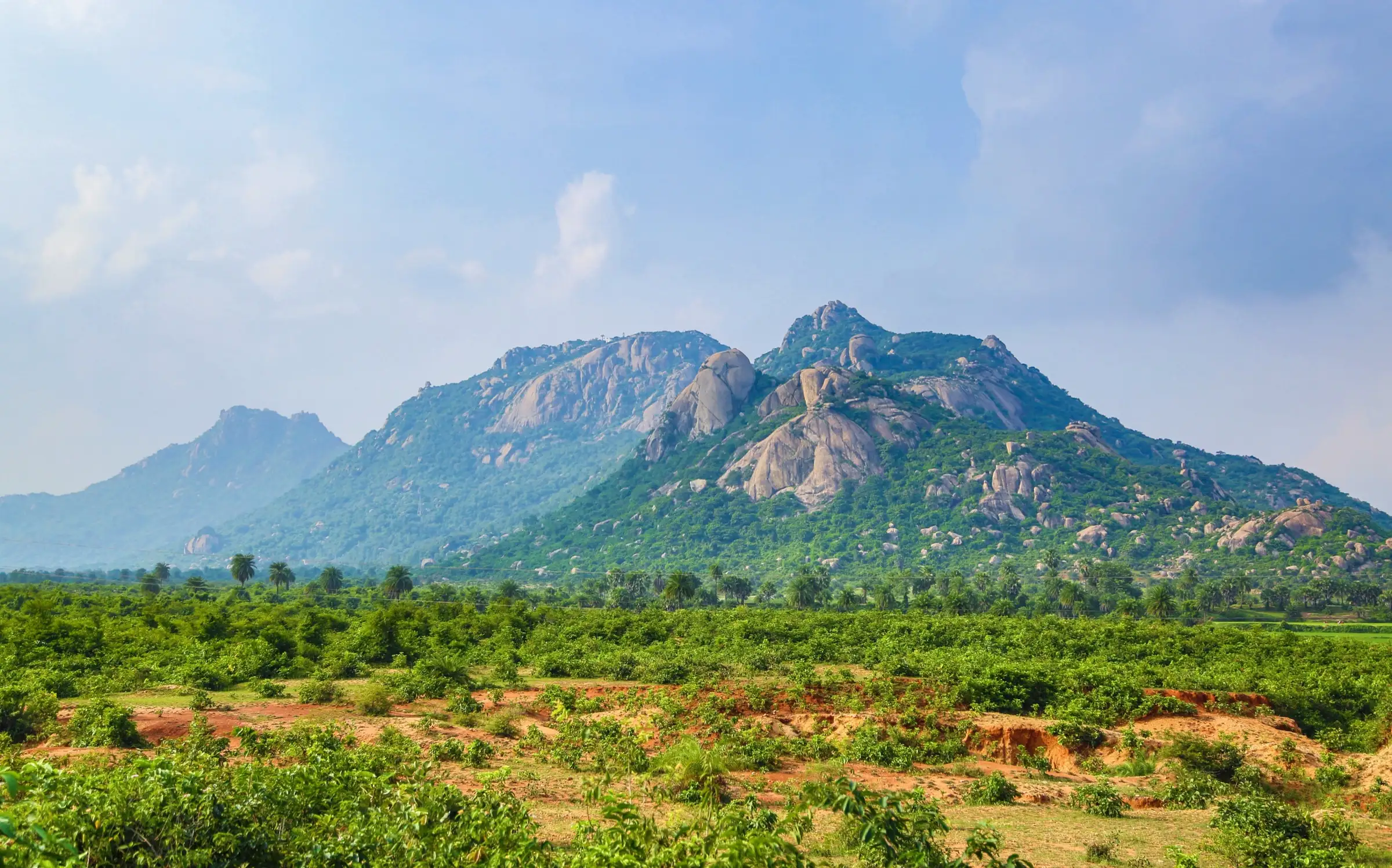
Trikut Pahar
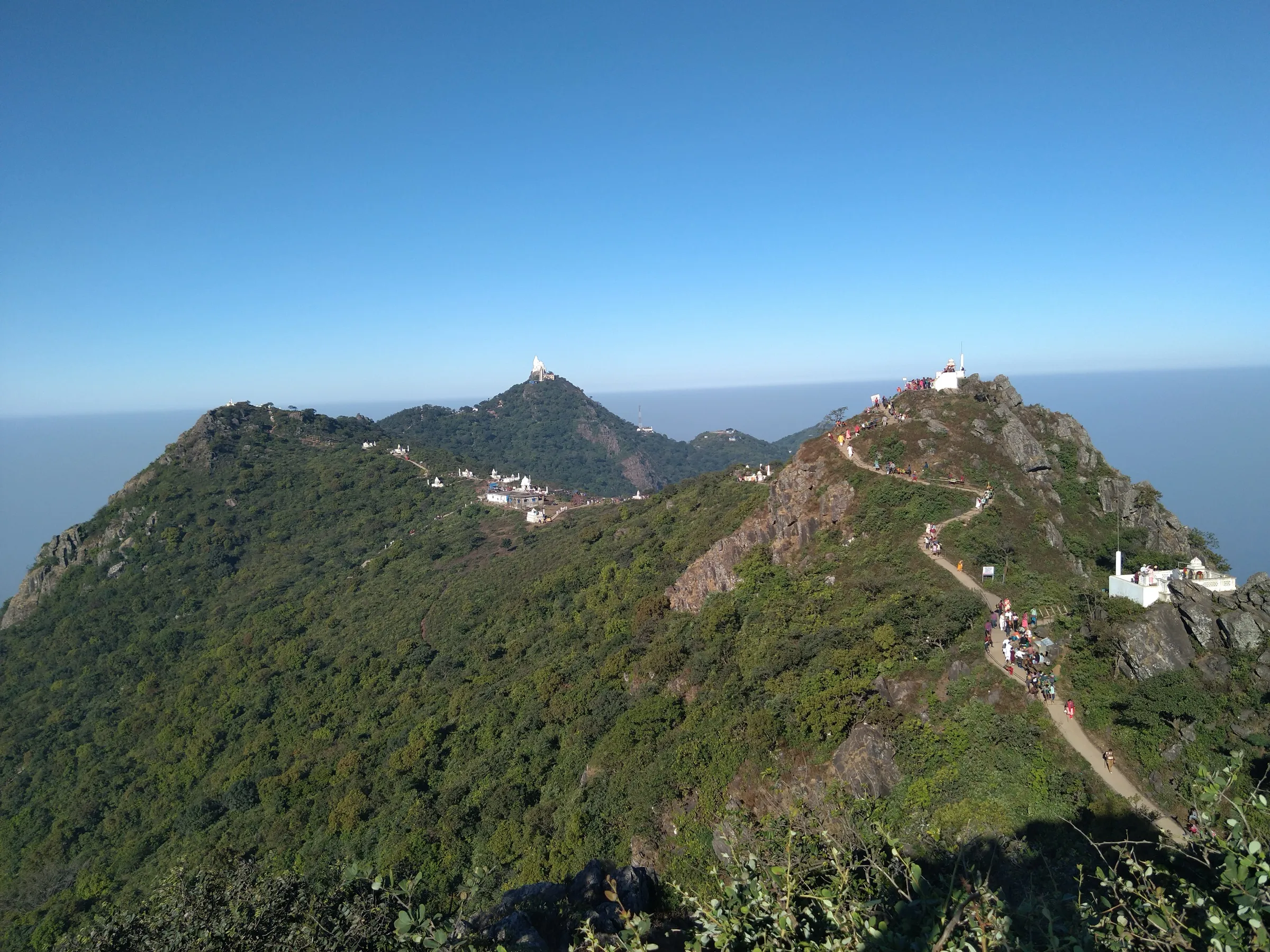
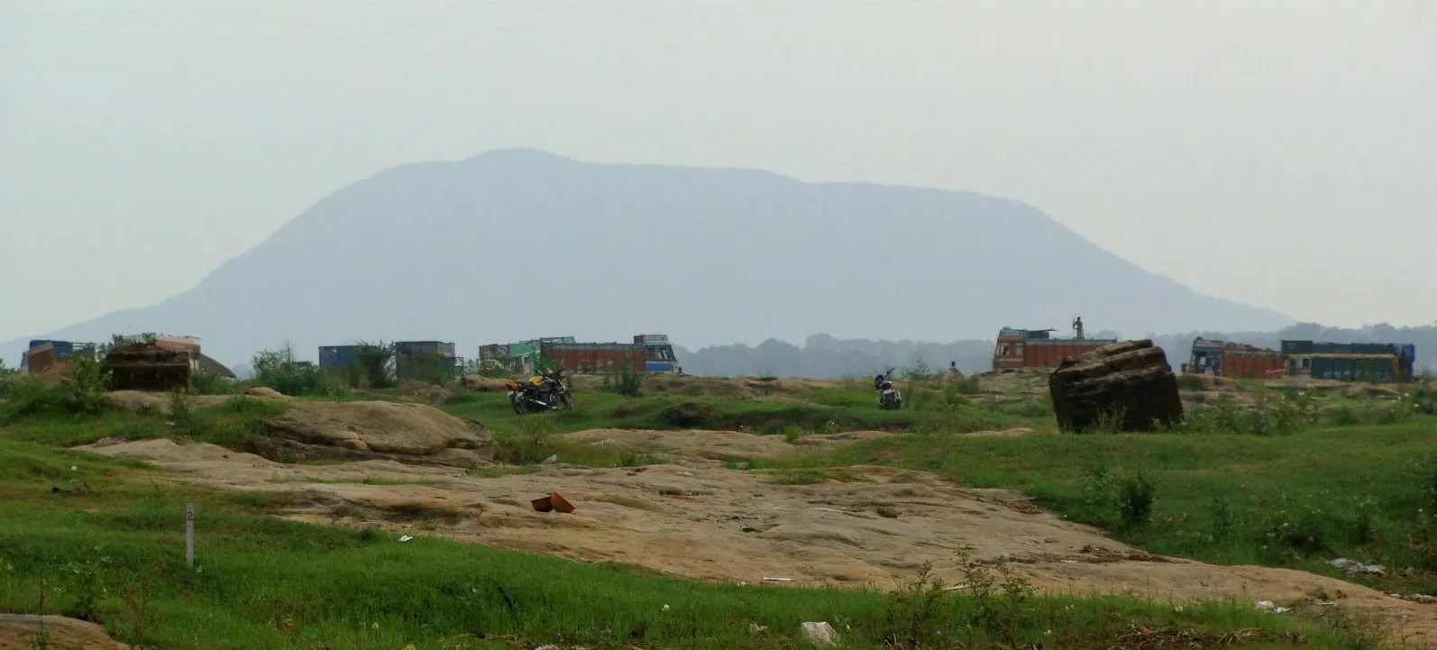
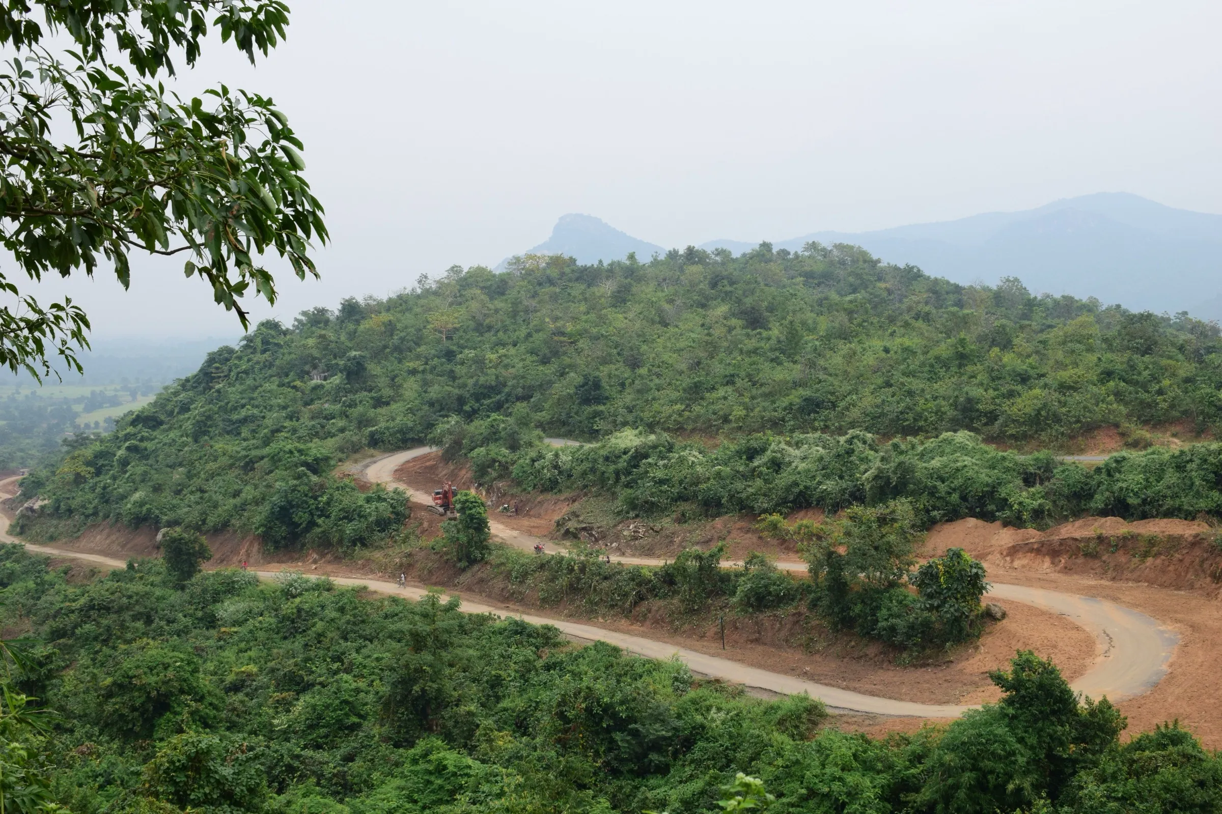
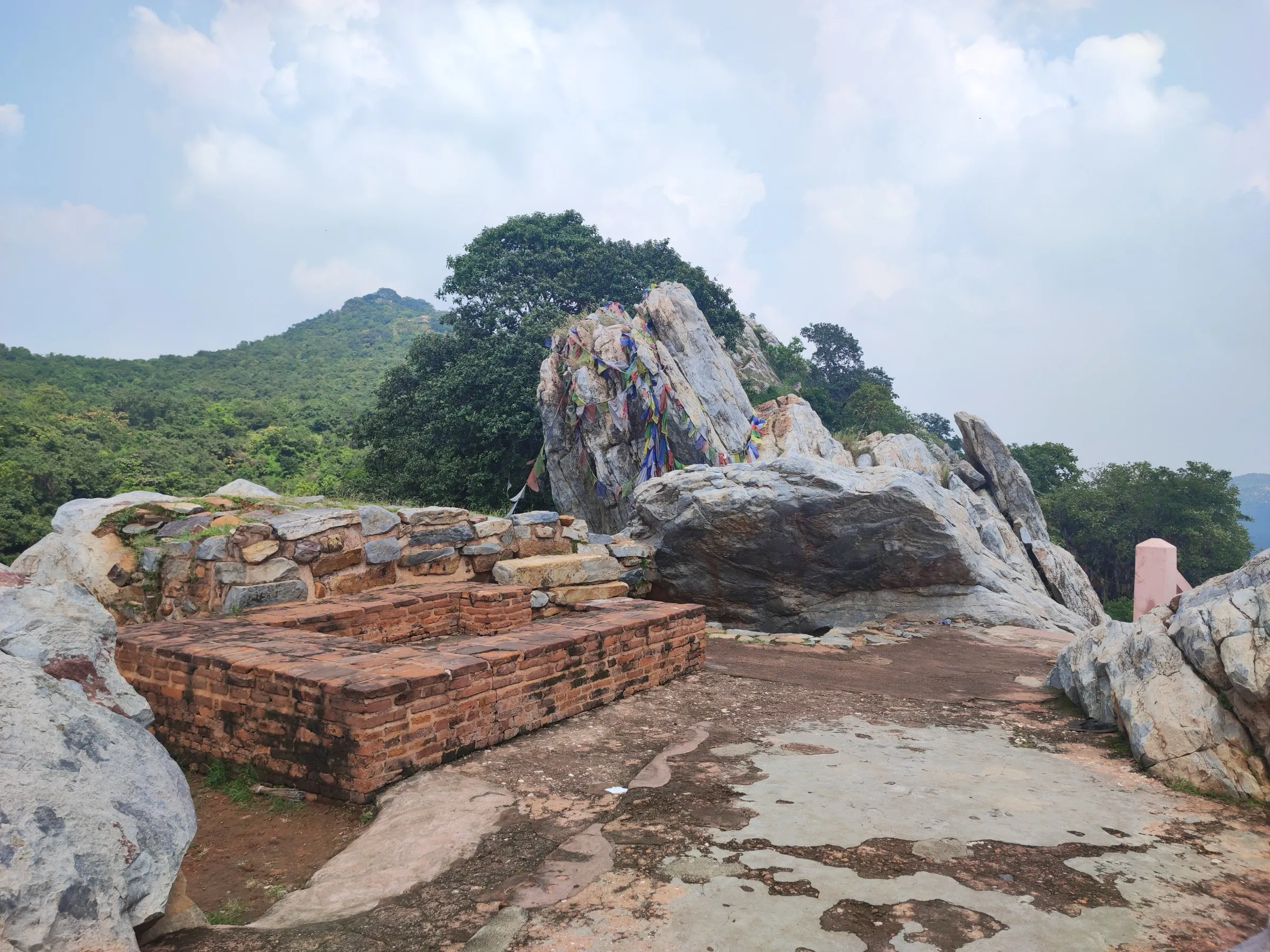
Trikut Pahar is a three-peaked hill near Deoghar in Jharkhand, named for Brahma, Vishnu and Shiva, with its main peak at about 753 m. The walk climbs about 1,500 ft from the foot by a stairway and a trekking path to the summit, taking roughly two hours. The Trikutachal Mahadeva temple and a hermitage stand in the forest on the way up. The cable car has been shut since April 2022, so the climb on foot is the way up. It suits beginners and families.
Photos
On the trail
The route
Day by day
Day 1 · highest point
Foot of Trikut Pahar → Main peak and back
296 m → 753 m → 296 m
- The route combines stairs with a trekking path; Outlook Traveller reports roughly two hours to the top.
- The Trikutachal Mahadeva temple and Sage Dayananda's hermitage lie in the forest on the way up.
- The summit gives a 360-degree view of Deoghar; local guides wait at the foot of the hill.
- The Deoghar district site says two peaks are safe for trekking, while others say only one is open to visitors.
- Monkeys have snatched sunglasses, phones and food; the ropeway has been shut since the April 2022 accident, so the stairs are the way up.
Ups and downs
Altitude profile
Where it is
Map
Trailhead and high point only — not a recorded track. Use it with a proper map.
Weather
Next 5 days on the trail
Live forecast for the trailhead and the high point. Mountain weather changes fast — check again on the morning you start.
Trailhead · Trikut Pahar (foot of the hill; the base is not separately mapped, pin is the peak)
at 296 mLoading forecast…
High point · Trikut Parvat (main peak)
at 753 mLoading forecast…
Each day: high / low °C · rain mm and chance · snow cm · wind km/h
Weather data: Open-Meteo.comModel forecast, not an official warning. For alerts follow IMD and the local administration.
Plan the trip
How to reach
- Trailhead
- Trikut Pahar (foot of the hill; the base is not separately mapped, pin is the peak) (nearest town: Deoghar)
- Nearest railway
- Jasidih Junction (Deoghar is about 6 km from it, per Deoghar district site)
- Nearest airport
- Deoghar Airport; Ranchi or Kolkata for wider connections
- By road
- Deoghar bus stand (about 21 km, per the district site; Wikipedia says about 15 km from Deoghar town on the Dumka road)
- Drive
- About 0.75 h from Deoghar
Plan the trip
Permits and fees
We could not confirm the current permit rules and fees from an official source. Check with the local forest department or tourism office before you go.
Plan the trip
Cost
Self-guided
₹300–1,200
With an operator
₹500–2,000
Per person, ex-Deoghar. No operator publishes a package, so these are reasoned estimates: a shared or hired vehicle from Deoghar, a local guide at the foot (advised by Outlook Traveller and the Incredible India page) and any entry charge. Check the current gate fee locally.
Gear
Top picks for this trek
The gear that matters most on this route, chosen from its altitude, season and risks.
 Ad · affiliate link
 Ad · affiliate link
 Ad · affiliate link
 Ad · affiliate link
 Ad · affiliate link
 Ad · affiliate link
- Ad · affiliate link
 Ad · affiliate link
Store buttons open a search on that store, not a product we picked. As an Amazon Associate we earn from qualifying purchases. Photos show the kind of item, not a specific product. Affiliate disclosure
Packing checklist
Matched to this trek: altitude, season, days and the risks on the route.
Packed 0 of 22
Hot days in Mar: start at first light and carry extra water and ORS.
Tick each item as it goes in the bag.
Know before you go
Good to know
- Mobile network
- Not stated by sources; mobile networks generally work around Deoghar, check locally.
- Last ATM
- Deoghar town
- Nearest hospital
- Deoghar town
- Water
- Not stated by sources; carry your own water.
Highlights
- Three peaks named for Brahma, Vishnu and Mahesh (Shiva); the Trikutachal Mahadeva Temple and Sage Dayananda's hermitage lie in the forest on the hill
- A 360-degree view over Deoghar and the surrounding plains from the top of the main peak
- Named spots on the way: Sita Dweep, Narayan Shila, Ravan Gupha, Ravana's Helipad, Ganesh Parvat and Belpatra Bagan
- Seasonal waterfalls and streams in the monsoon, July to September
Risks
- The Trikut ropeway has been closed since the cable-car accident of 10 April 2022 (three people died; 78 were trapped). Wikipedia says no reopening date is confirmed, so the walk up the stairs is the way up unless you confirm it has reopened.
- Monkeys on the hill snatch sunglasses, cameras, phones and food (Outlook Traveller).
- Only two of the three peaks are safe to climb; the third has very steep slopes and is not open (Deoghar district site).
- The hill is often wrapped in cloud in July to September, and rock steps can be slippery.
Know before you go
Questions
How long does it take to climb Trikut Pahar?
Outlook Traveller and the Incredible India page both say reaching the top takes about two hours by the stairway and trekking route.
Is the Trikut Pahar ropeway running?
It was stopped after the cable-car accident of 10 April 2022. Wikipedia says repair plans exist but no reopening date is confirmed, so confirm locally before you plan around it.
How high is Trikut Pahar?
The Deoghar district site and the Incredible India page give the highest peak as 2,470 ft above sea level (about 753 m) and around 1,500 ft above the ground.
What are the visiting hours and best season?
The Incredible India page lists the hill as open 6 am to 6 pm. Outlook Traveller gives September to March (also July-August for the monsoon greenery) as the best time.
Should I take a guide?
Outlook Traveller and the Incredible India page both recommend a local guide, available at the foot of the hill, who can also show the named spots such as Ravan Gupha and Sita Dweep.
In an emergency
Save these numbers before you lose signal. Tap to call.
- 112All emergenciesIndia’s single emergency number — works in every state
- 108Ambulance
- 1077District disaster control room
You are in
District: DeogharJharkhand
- Nearest hospital
- Deoghar town
- Last ATM
- Deoghar town
- Phone network
- Not stated by sources; mobile networks generally work around Deoghar, check locally.
Before you set off
- Tell someone your route and when you will be back.
- Carry a charged phone and a power bank.
- Download an offline map of the route.
- Turn back if the weather turns bad — the mountain will wait.
Questions about Trikut Pahar
No questions yet. Ask something and trekkers who have done it can answer.
Share your trek photo with #TreksAndTrails
I trekked this
Did Trikut Pahar look different from this page? Tell us what changed and we will check it.
Where this comes from
Sources
Last reviewed:
- Trikut Pahar | District Deoghar, Government of Jharkhand — Deoghar District Administration (official)
- Trikuta, Deoghar — Incredible India (Ministry of Tourism) (official)
- Trikut Pahar: All You Need To Know About This Hill In Deoghar — Outlook Traveller
- Trikut Hill — Wikipedia
Photos: Jharkhand Tourism, CC0; Sumit Surai, CC BY-SA 4.0; Tarunsamanta, CC BY-SA 4.0