Biharinath Hill Trek
Bankura, West Bengal
Opens without signal on this phone, with the map file and checklist. Saved for offline →
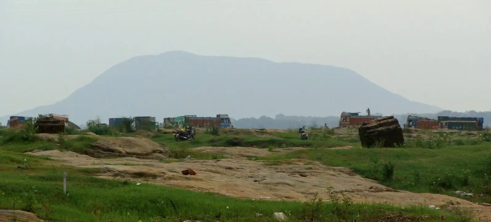 452 mhighest point
- Max altitude
- 452 m
- Days
- 1 day
- Distance
- 3 km
- Difficulty
- Easy
A short day hike of about 3 km; the middle stretch is steep and boulder-strewn and the descent needs hands in places, but the whole outing takes only a few hours.
About this trek
Biharinath Hill
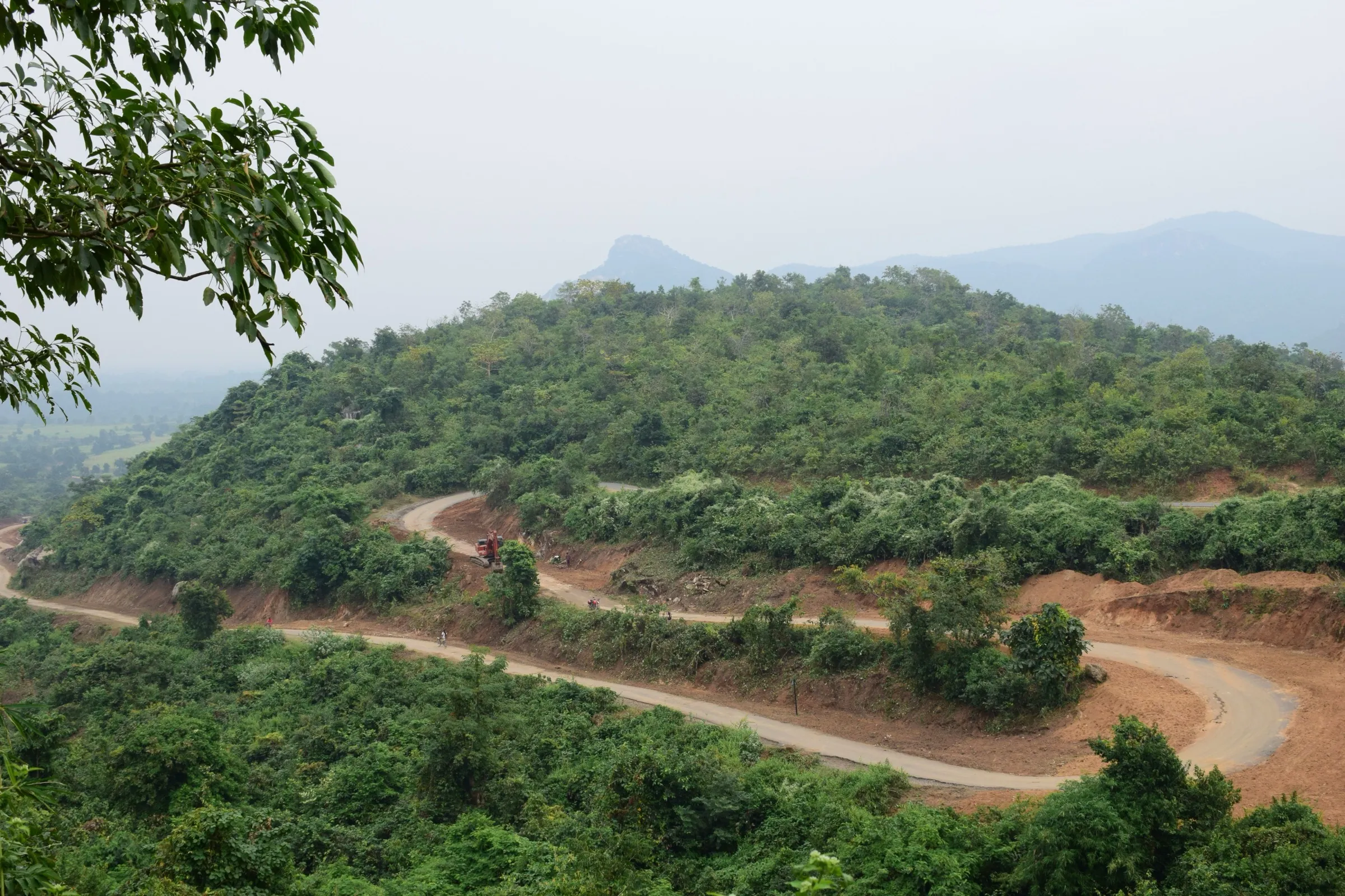
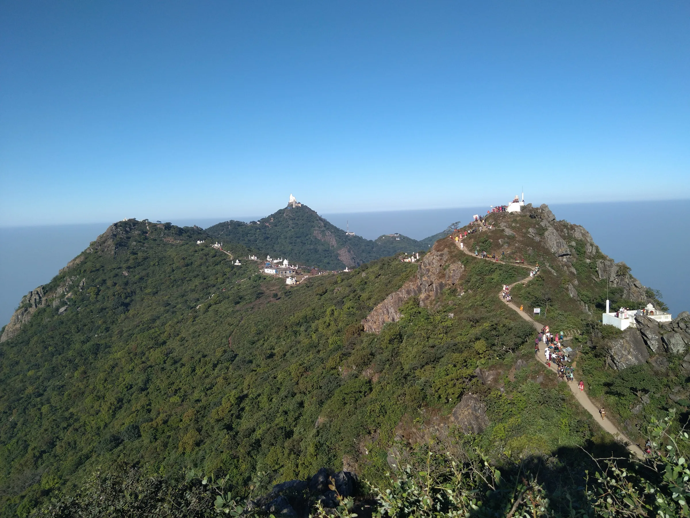
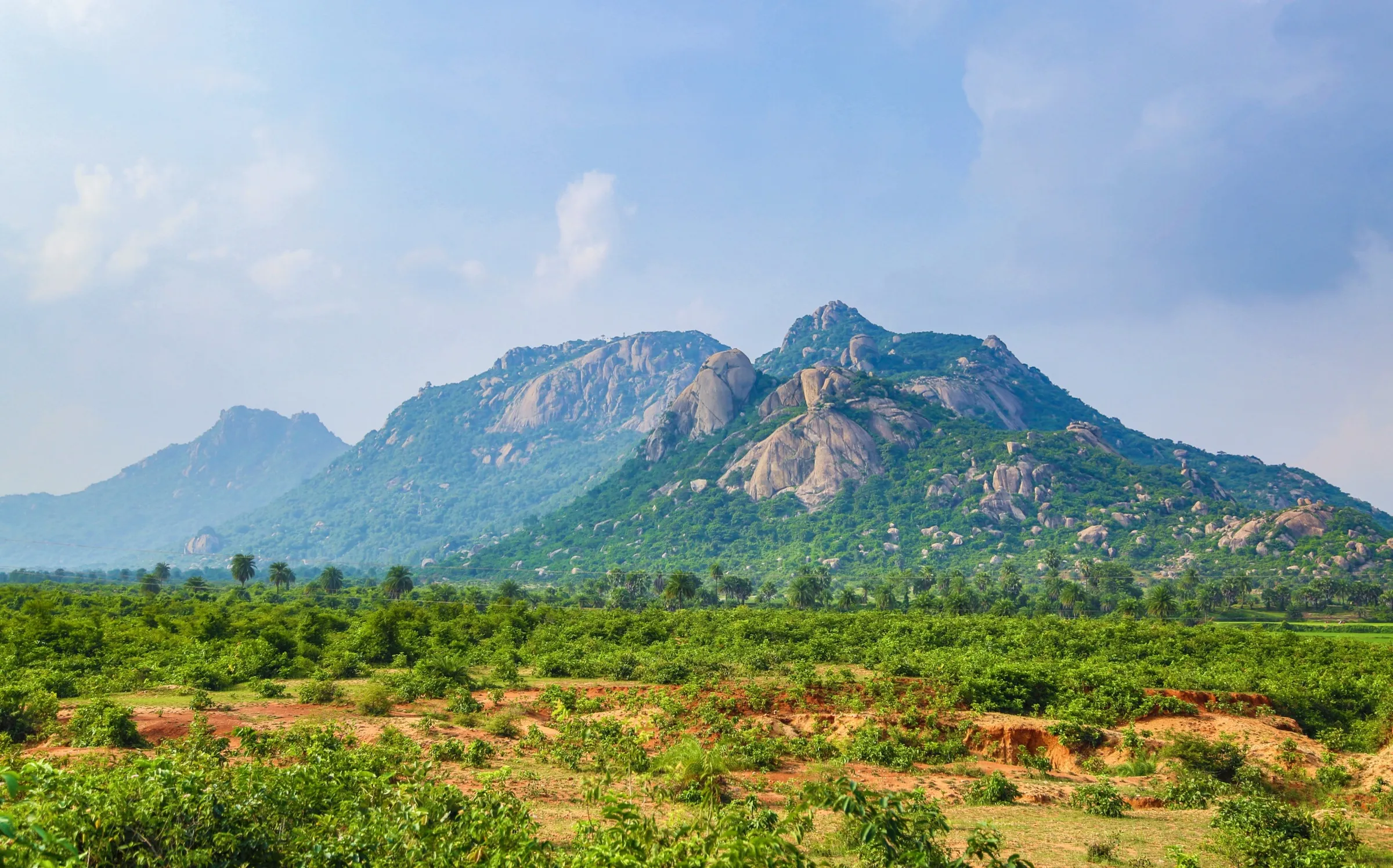
Biharinath Hill is a short forest climb to a flat-topped hill above the Biharinath temple in Bankura district, West Bengal. The marked trail is about 3 km in all, through sal forest and over large laterite boulders typical of the Chhota Nagpur plateau, with a small Hanuman shrine on the summit plateau. Operators report about an hour up and an hour down. It suits beginners and families, with the middle section needing some scrambling in places.
The route
Day by day
Day 1 · highest point
Biharinath Temple → Biharinath Hill summit and back
160 m → 452 m → 160 m
- Starts at the forest signboard; the first 200 m is a gradual climb on loose soil with embedded stones through sal trees.
- The next kilometre is the steepest, with larger boulders and thorny stems, and may need hands in places.
- The middle ascent takes a fit hiker about an hour, with the route marked on rock faces at regular intervals.
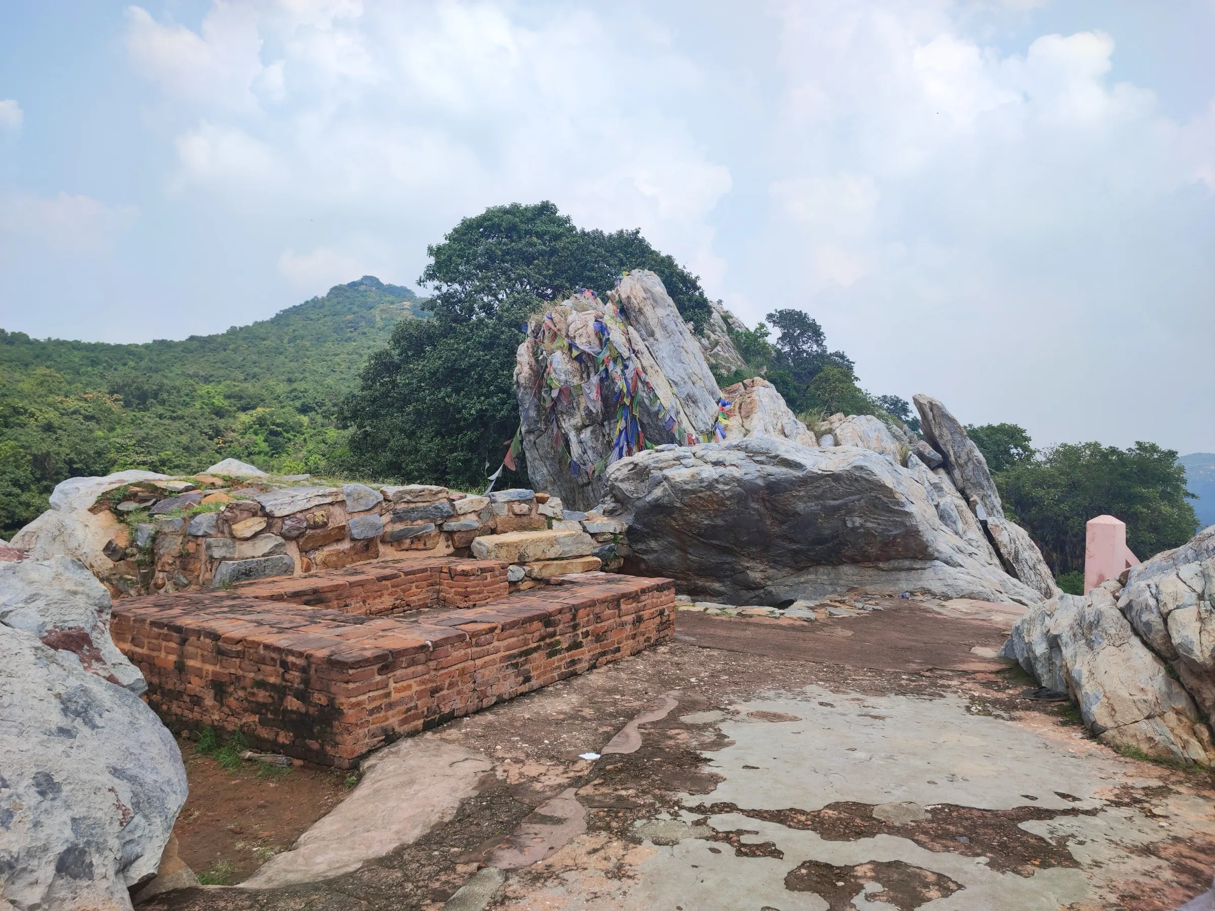
- The last 300 m to the summit is an easy, gradual climb of about 10 minutes to a flat plateau with a small Hanuman shrine.
- Springs run only during and after the monsoon; the descent takes about an hour and is a little harder than the ascent.
Ups and downs
Altitude profile
Where it is
Map
Trailhead and high point only — not a recorded track. Use it with a proper map.
Weather
Next 5 days on the trail
Live forecast for the trailhead and the high point. Mountain weather changes fast — check again on the morning you start.
Trailhead · Biharinath Temple
at 160 mLoading forecast…
High point · Biharinath Hill (Wikipedia hill coordinates)
at 452 mLoading forecast…
Each day: high / low °C · rain mm and chance · snow cm · wind km/h
Weather data: Open-Meteo.comModel forecast, not an official warning. For alerts follow IMD and the local administration.
Plan the trip
How to reach
- Trailhead
- Biharinath Temple (nearest town: Saltora)
- Nearest railway
- Bankura Junction (about 60 km); Asansol and Durgapur are also used
- Nearest airport
- Netaji Subhas Chandra Bose International Airport, Kolkata
- By road
- Kolkata (about 225 km, 5-6 hours by road); Bankura (about 60 km); Asansol (about 50 km); Saltora town (about 14 km to the temple)
- Drive
- About 5.5 h from Kolkata
Plan the trip
Permits and fees
We could not confirm the current permit rules and fees from an official source. Check with the local forest department or tourism office before you go.
Plan the trip
Cost
Self-guided
₹500–2,500
With an operator
₹1,500–4,000
Per person, ex-Bankura or ex-Durgapur. No operator price for this trek was found; both ranges are unconfirmed estimates for a day trip: shared transport or a hired car for the last 50-60 km, food, and an optional local guide. Check locally.
Gear
Top picks for this trek
The gear that matters most on this route, chosen from its altitude, season and risks.
 Ad · affiliate link
 Ad · affiliate link
 Ad · affiliate link
 Ad · affiliate link
 Ad · affiliate link
 Ad · affiliate link
- Ad · affiliate link
 Ad · affiliate link
Store buttons open a search on that store, not a product we picked. As an Amazon Associate we earn from qualifying purchases. Photos show the kind of item, not a specific product. Affiliate disclosure
Packing checklist
Matched to this trek: altitude, season, days and the risks on the route.
Packed 0 of 21
Hot days in Mar: start at first light and carry extra water and ORS.
Tick each item as it goes in the bag.
Know before you go
Good to know
- Mobile network
- Not confirmed by sources; expect patchy coverage on the hill.
- Last ATM
- Saltora or Bankura (not confirmed by sources)
- Nearest hospital
- Bankura Sammilani Medical College and Hospital, Bankura (not confirmed by sources)
- Water
- Natural springs flow only during and after the monsoon, so carry at least 2 litres of water.
Highlights
- The highest hill in Bankura district at about 450 m, with a flat table-top summit and a small Hanuman shrine
- Palash (flame of the forest) and Shimul blooms in spring, and a green landscape in the monsoon
- A boulder scramble where hands are needed in places, and views over the Damodar river
- The old Biharinath Shiva temple at the foot of the hill, visited especially at Mahashivratri
Risks
- The steep middle stretch is boulder-strewn and the first 800 m of descent may need hands; wear shoes with good grip.
- One source says natural springs flow only during and after the monsoon, so carry your own water, and expect slippery rock in the rains.
- Summer heat on the exposed hill is likely (not stated by sources); start early in the morning.
Know before you go
Questions
How tall is Biharinath Hill?
About 450 m. Wikipedia gives 451 m, Trekup India 1,483 ft (about 452 m) and the Bankura district website 1,449 ft (about 442 m). It is the highest hill in Bankura district.
How long does the Biharinath Hill trek take?
It is a one-day hike of about 3 km. Trekup India says the summit can be reached in under three hours, with about an hour for the descent.
How far is Biharinath Hill from Kolkata?
About 225 km, or 5-6 hours by road. From Bankura it is about 60 km and from Asansol about 50 km. The trail starts at the Biharinath Temple, about 14 km from Saltora town.
When is the best time to visit Biharinath Hill?
Trekup India says the hill can be visited all year; spring (February-March) brings palash blooms and the Bankura district website notes the monsoon turns the hill green. Start early in the morning.
In an emergency
Save these numbers before you lose signal. Tap to call.
- 112All emergenciesIndia’s single emergency number — works in every state
- 108Ambulance
- 1077District disaster control room
You are in
District: BankuraWest Bengal
- Nearest hospital
- Bankura Sammilani Medical College and Hospital, Bankura (not confirmed by sources)
- Last ATM
- Saltora or Bankura (not confirmed by sources)
- Phone network
- Not confirmed by sources; expect patchy coverage on the hill.
Before you set off
- Tell someone your route and when you will be back.
- Carry a charged phone and a power bank.
- Download an offline map of the route.
- Turn back if the weather turns bad — the mountain will wait.
Questions about Biharinath Hill
No questions yet. Ask something and trekkers who have done it can answer.
Share your trek photo with #TreksAndTrails
I trekked this
Did Biharinath Hill look different from this page? Tell us what changed and we will check it.
Where this comes from
Sources
Last reviewed:
- Biharinath Hill Trek — Trekup India
- Biharinath Hill — Bankura District Administration (official)
- Biharinath — Wikipedia
- 7 Scenic Spots Near Kolkata For Your Next Camping Trip — LBB
Photos: Kaushik Goswami, CC BY-SA 3.0