Rajgir Hills Trek
Nalanda, Bihar
Opens without signal on this phone, with the map file and checklist. Saved for offline →
- Max altitude
- 305 m
- Days
- 1 day
- Distance
- 6 km
- Difficulty
- Easy
Low hills of about 300 m with a paved or stepped path of 600+ steps to Ratnagiri; the longer ridge walks past Jain temples are rougher and are described as difficult for the untrained.
About this trek
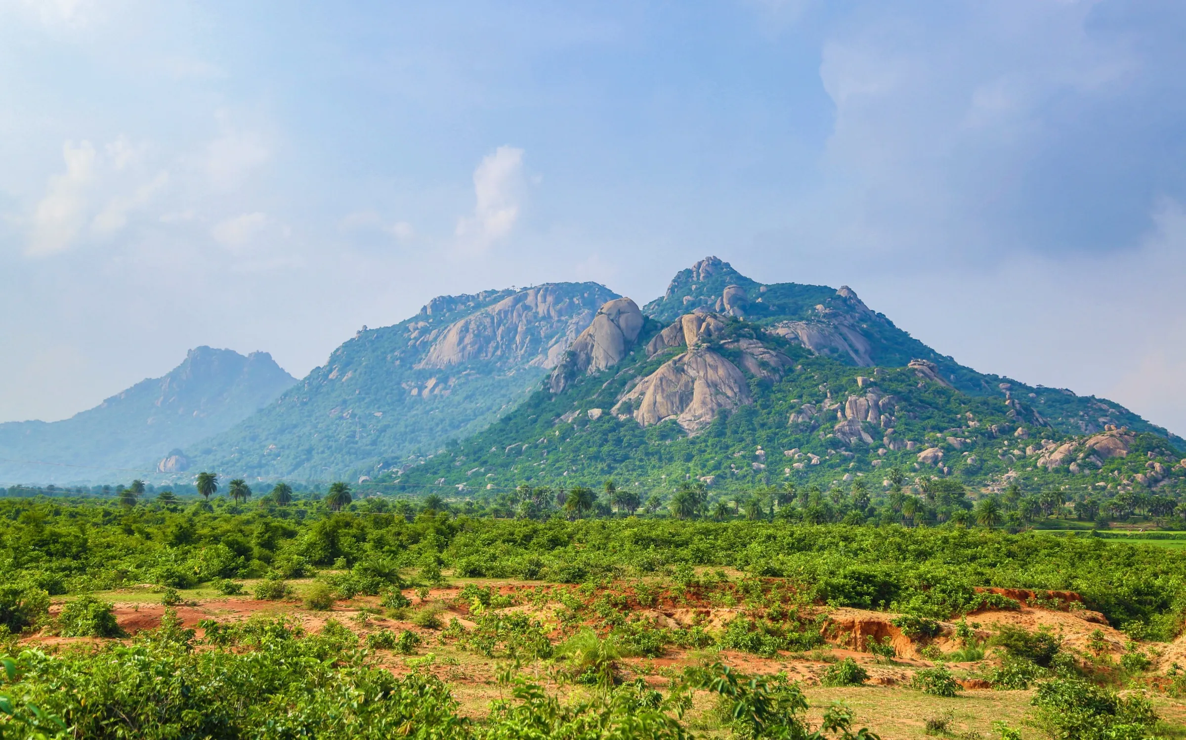
Rajgir Hills
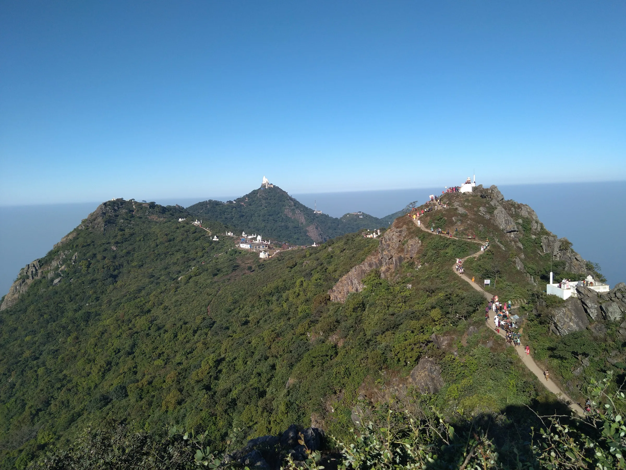
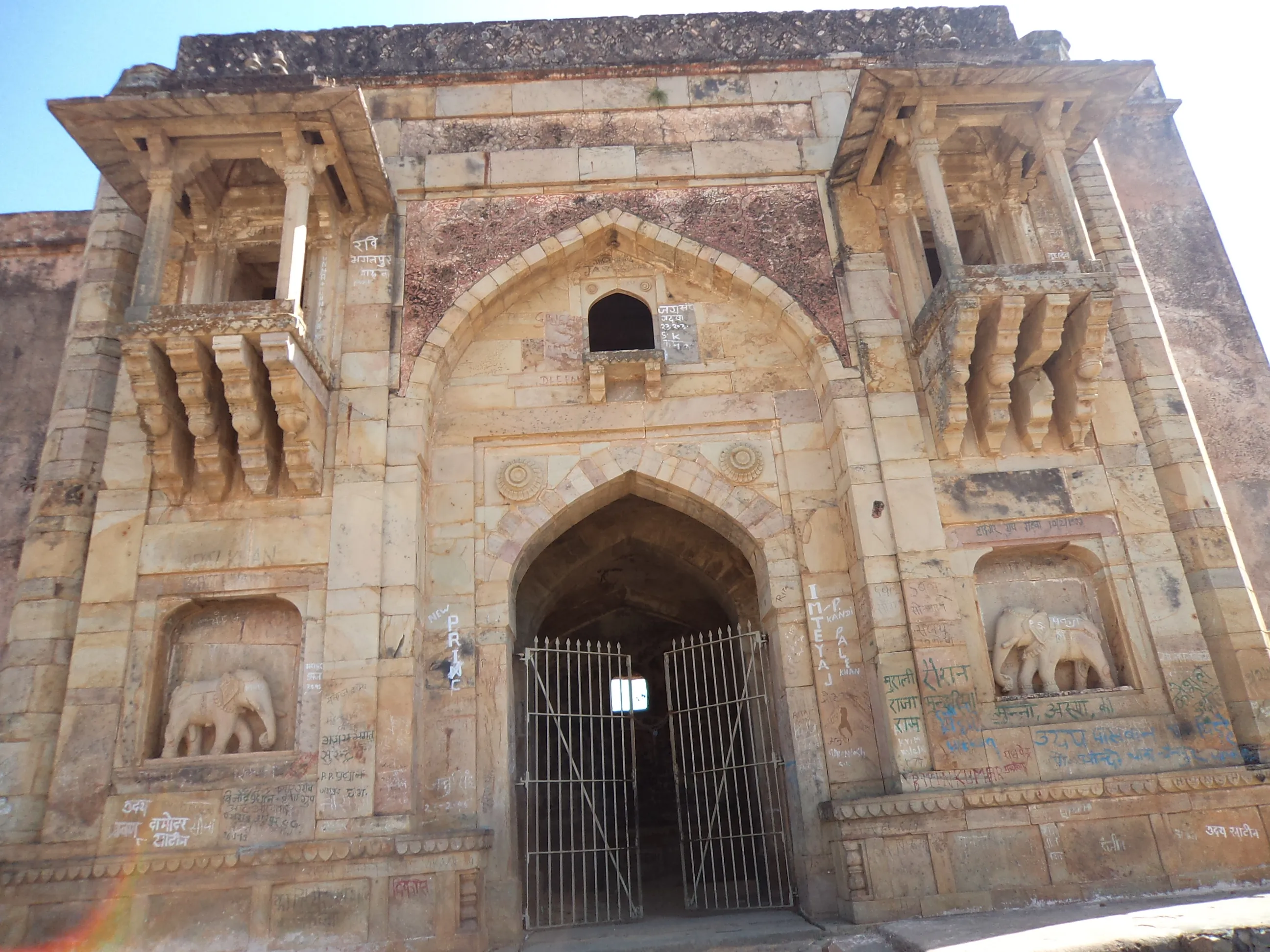
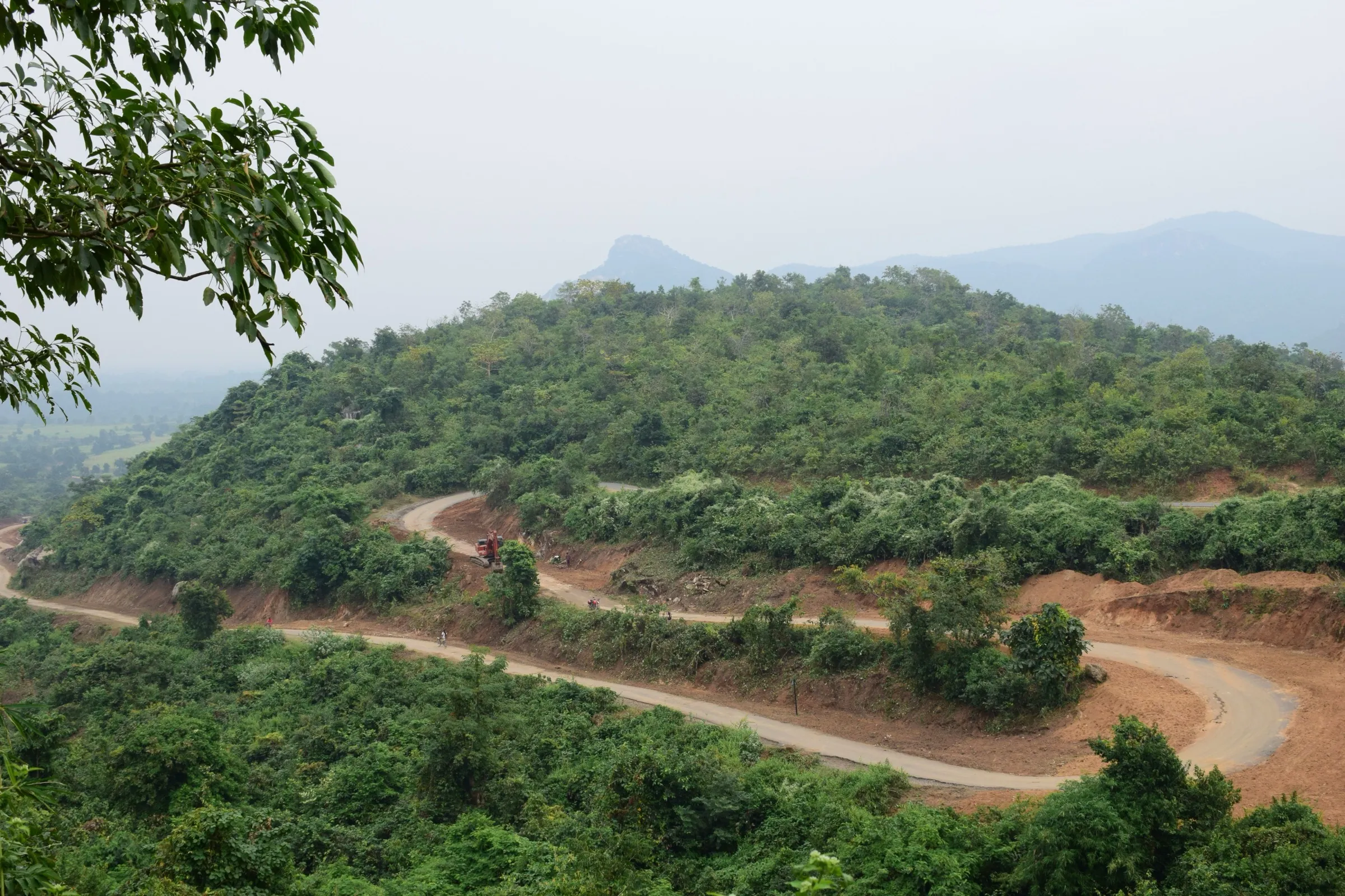
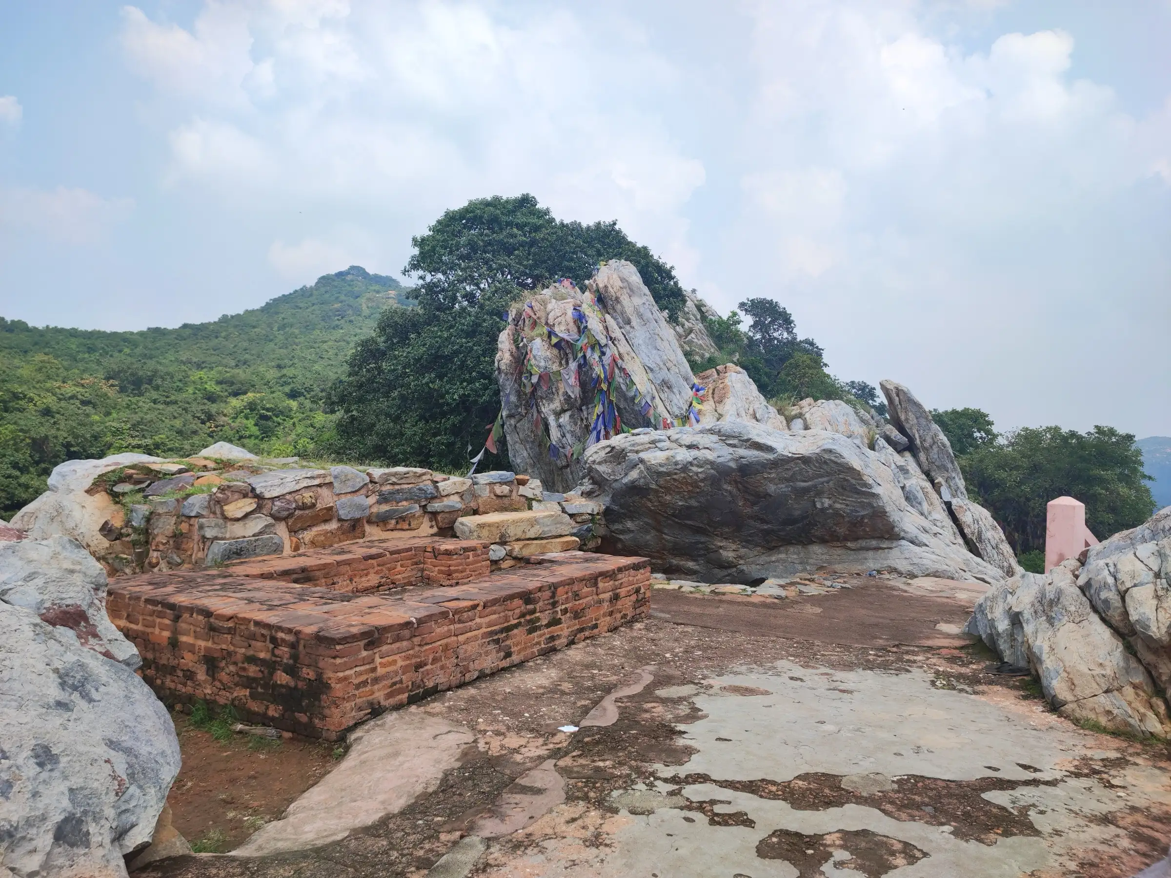
The Rajgir Hills are a range of low hills around Rajgir in Bihar, the highest point about 388 m. This walk links Gridhakuta (Vulture Peak), where the Buddha is believed to have meditated, with Ratnagiri and the Vishwa Shanti Stupa on its summit. More than 600 stone steps lead to the top, and a chairlift and ropeway offer an alternative. It is a short, step-based hill walk rather than a wilderness trek.
Photos
On the trail
The route
Day by day
Day 1 · highest point
Rajgir (ropeway base) → Gridhakuta, Ratnagiri and Vishwa Shanti Stupa, back to Rajgir
85 m → 305 m → 85 m
- The ropeway base at Rajgir is the usual starting point; a chairlift and a modern ropeway also run to the top of Ratnagiri.
- Gridhakuta sits about halfway up the path to Ratnagiri and is not on the chairlift route.
- The walking route to the Vishwa Shanti Stupa is a flight of more than 600 stone steps.
- Ratnagiri is topped by the Peace Pagoda (Vishwa Shanti Stupa), built by the Japanese Buddhist school Myohosan.
- Vulture Peak is visible on the way down from the Peace Pagoda.
Ups and downs
Altitude profile
Where it is
Map
Trailhead and high point only — not a recorded track. Use it with a proper map.
Weather
Next 5 days on the trail
Live forecast for the trailhead and the high point. Mountain weather changes fast — check again on the morning you start.
Trailhead · Rajgir town (start of the Ratnagiri and Gridhakuta paths)
at 85 mLoading forecast…
High point · Vishwa Shanti Stupa, Ratnagiri (on route; the exact top of the range is not mapped)
at 305 mLoading forecast…
Each day: high / low °C · rain mm and chance · snow cm · wind km/h
Weather data: Open-Meteo.comModel forecast, not an official warning. For alerts follow IMD and the local administration.
Plan the trip
How to reach
- Trailhead
- Rajgir town (start of the Ratnagiri and Gridhakuta paths)
- Nearest railway
- Rajgir (Gaya Junction, 78 km, is the more convenient railhead)
- Nearest airport
- Gaya International Airport (78 km); Patna JP Narayan Airport (101 km)
- By road
- Patna (about 100-110 km); Gaya (about 78 km; buses roughly every half hour); Bodh Gaya (tourist buses twice daily in peak season)
- Drive
- About 2.5 h from Patna
Plan the trip
Permits and fees
We could not confirm the current permit rules and fees from an official source. Check with the local forest department or tourism office before you go.
Plan the trip
Cost
Self-guided
₹300–1,500
With an operator
₹1,000–3,500
Per person, ex-Rajgir. Estimates only: no current operator price could be read. Wikivoyage (dated, mostly 2020 figures) lists a ropeway/chairlift to Ratnagiri at about ₹120 return and a tanga to Ratnagiri or Gridhakuta at about ₹150 return; budget hotels about ₹300 and Bihar tourism hotels about ₹1,200 for a double. Ex-Patna day tours add road transport.
Gear
Top picks for this trek
The gear that matters most on this route, chosen from its altitude, season and risks.
 Ad · affiliate link
 Ad · affiliate link
 Ad · affiliate link
- Ad · affiliate link
 Ad · affiliate link
 Ad · affiliate link
 Ad · affiliate link
 Ad · affiliate link
Store buttons open a search on that store, not a product we picked. As an Amazon Associate we earn from qualifying purchases. Photos show the kind of item, not a specific product. Affiliate disclosure
Packing checklist
Matched to this trek: altitude, season, days and the risks on the route.
Packed 0 of 16
Hot days in Mar: start at first light and carry extra water and ORS.
Tick each item as it goes in the bag.
Know before you go
Good to know
- Mobile network
- Not confirmed; Rajgir town is a district-level town with regular mobile service.
- Last ATM
- Rajgir town (not confirmed; carry cash for the ropeway, tangas and temples)
- Nearest hospital
- Rajgir town clinics for first care; Bihar Sharif, Gaya or Patna for serious cases (not confirmed)
- Water
- No sourced information; carry your own water, as the hill paths have no known reliable taps.
Highlights
- Vishwa Shanti Stupa, the peace pagoda on Ratnagiri inaugurated in 1969, reached by 600+ steps or the ropeway
- Gridhakuta (Vulture Peak), where the Buddha is said to have meditated and taught
- Ridge of the five Rajgir hills (Ratnagiri, Vipulachal, Vaibharagiri, Songiri, Udaygiri) that ring the ancient city
- Jain temples on the hill crests, Venuvana bamboo grove and the hot springs of Tapodharma in town
Risks
- Information on formal trekking routes is thin: no official route description was readable. Ask locally or at Bihar State Tourism Development Corporation (BSTDC) in Rajgir before attempting a ridge walk.
- The hills are part of Pant Wildlife Sanctuary (created 1978); check forest rules locally before leaving the pilgrim paths.
- Summer heat (March to October is the warm season) and monsoon rain, peaking in July and August, make the steps slippery or tiring.
Know before you go
Questions
Which are the five hills of Rajgir?
Wikipedia names them as Ratnagiri, Vipulachal, Vaibharagiri, Songiri and Udaygiri, though ancient texts give different names and matching them to modern hills is difficult.
How high are the Rajgir hills?
Wikipedia gives about 305 m for Ratnagiri, the highest of the five in its Rajgir article, and 388 m as the highest point of the whole range in its Rajgir Hills article. Most of the hills are around 300 m.
How do you reach the Vishwa Shanti Stupa on Ratnagiri?
By climbing 600+ steps, by chairlift/ropeway (about ₹120 return in a dated Wikivoyage listing), or partly by horse-drawn tanga to the base. Check current rates locally.
How far is Rajgir from Patna and Gaya?
About 100-110 km from Patna and 78 km from Gaya, which has the nearest convenient railhead and airport. Rajgir has its own railway station.
In an emergency
Save these numbers before you lose signal. Tap to call.
- 112All emergenciesIndia’s single emergency number — works in every state
- 108Ambulance
- 1077District disaster control room
You are in
District: NalandaBihar
- Nearest hospital
- Rajgir town clinics for first care; Bihar Sharif, Gaya or Patna for serious cases (not confirmed)
- Last ATM
- Rajgir town (not confirmed; carry cash for the ropeway, tangas and temples)
- Phone network
- Not confirmed; Rajgir town is a district-level town with regular mobile service.
Before you set off
- Tell someone your route and when you will be back.
- Carry a charged phone and a power bank.
- Download an offline map of the route.
- Turn back if the weather turns bad — the mountain will wait.
Questions about Rajgir Hills
No questions yet. Ask something and trekkers who have done it can answer.
Share your trek photo with #TreksAndTrails
I trekked this
Did Rajgir Hills look different from this page? Tell us what changed and we will check it.
Where this comes from
Sources
Last reviewed:
- Rajgir — Wikipedia (Rajgir)
- Rajgir Hills — Wikipedia (Rajgir Hills)
- Rajgir — Wikivoyage
Photos: Sumitsurai, CC BY-SA 4.0; Photo Dharma from Penang, Malaysia, CC BY 2.0; Rohit Sharma, CC BY-SA 4.0; Aryan paswan, CC BY-SA 3.0