Ayodhya Hills Trek
Purulia, West Bengal
Opens without signal on this phone, with the map file and checklist. Saved for offline →
- Max altitude
- 677 m
- Days
- 2 days
- Distance
- 21 km
- Difficulty
- Easy
Low altitude with no altitude sickness, but a 13 km first day of 7-8 hours on rocky, uneven forest trail with stream crossings, and heat outside the cool months.
About this trek
Ayodhya Hills
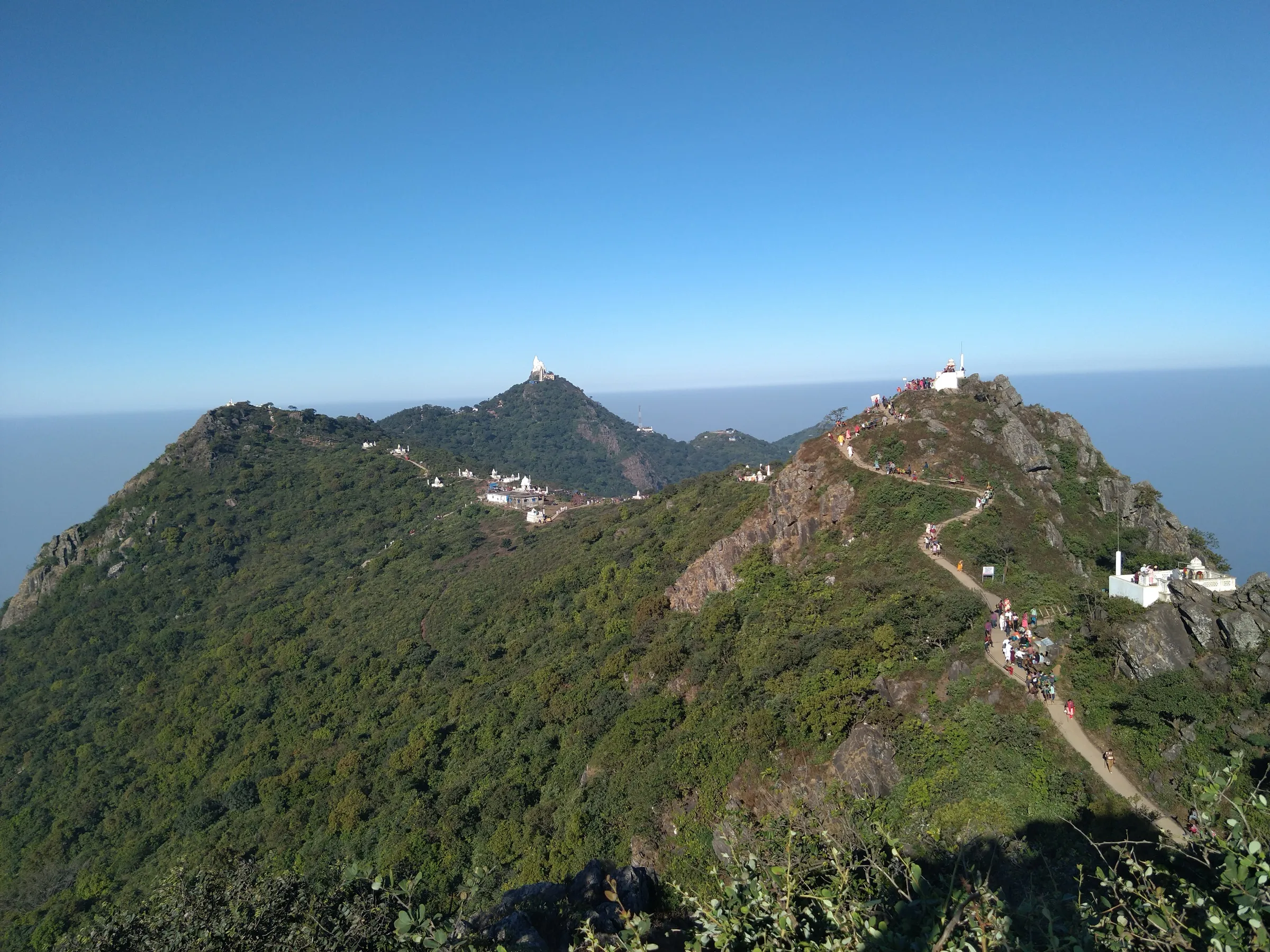
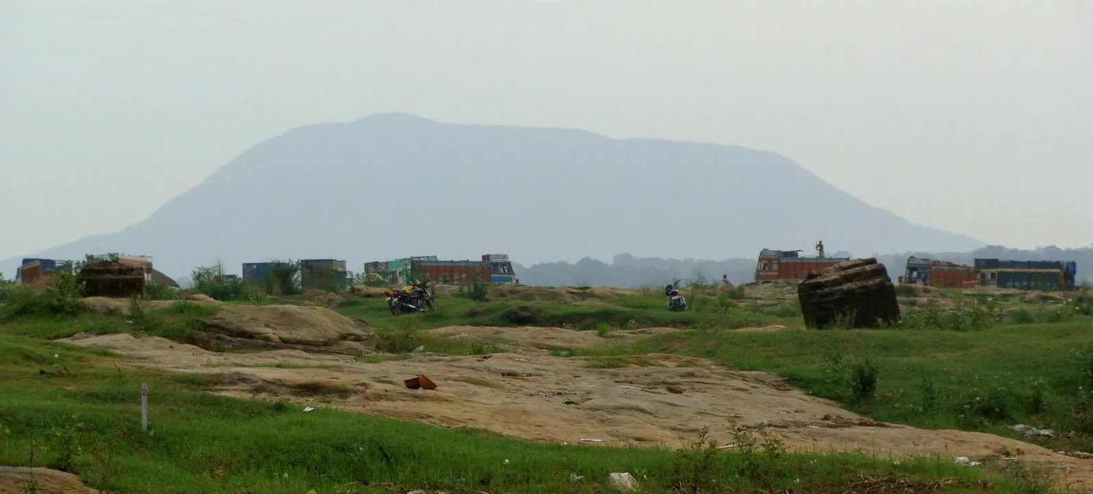
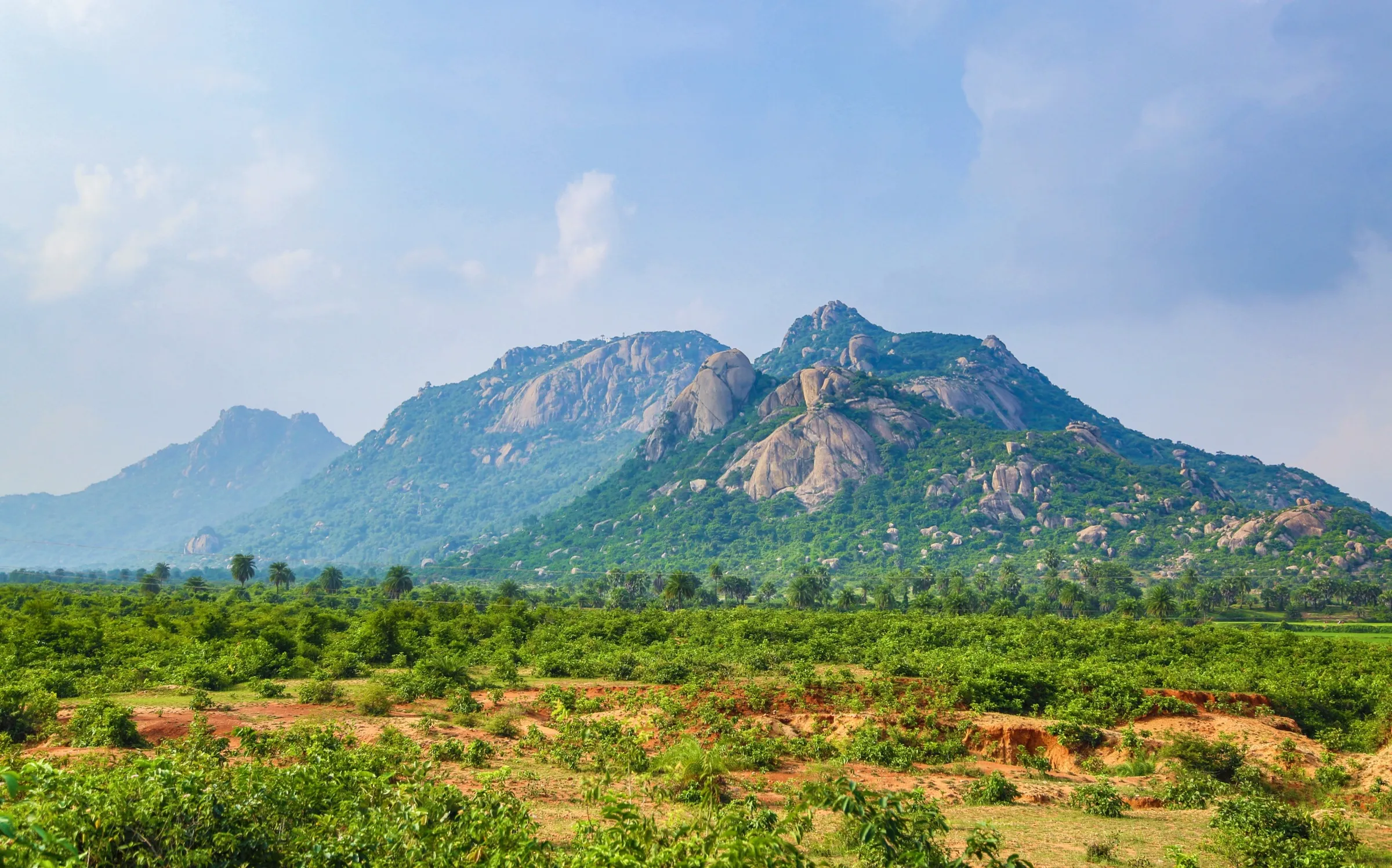
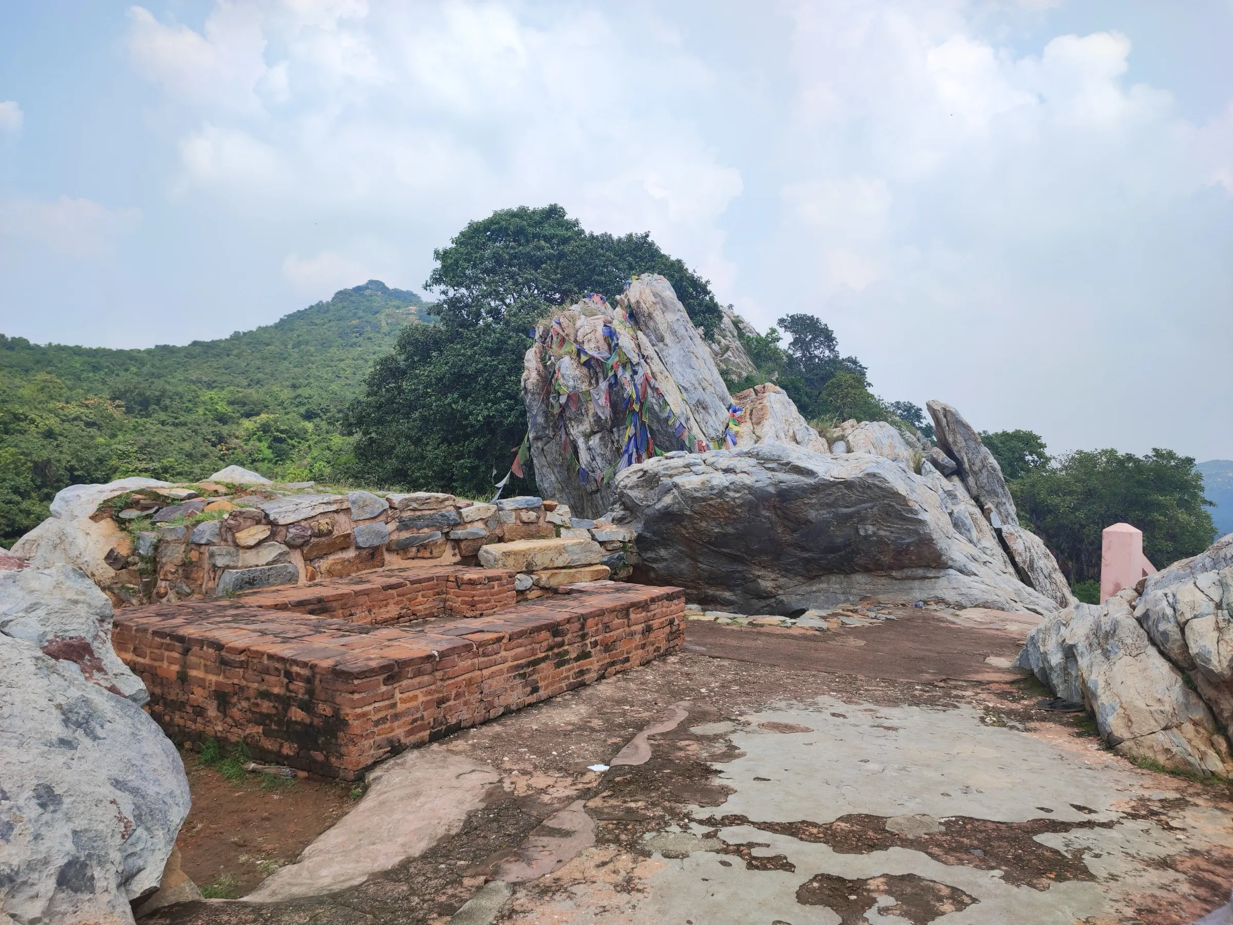
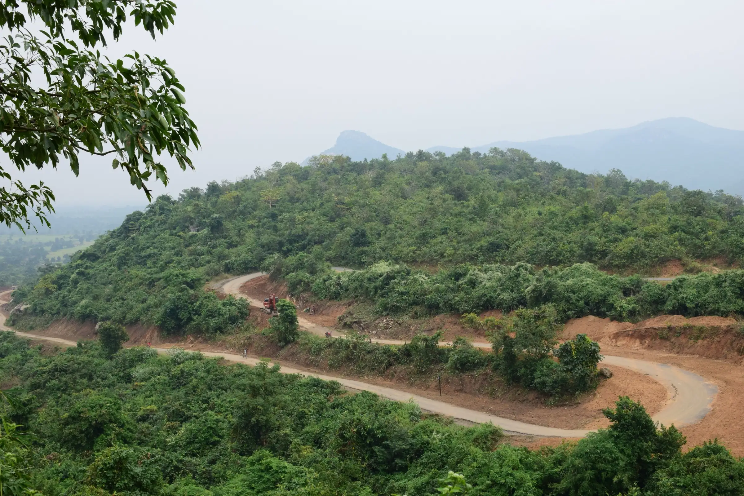
Ayodhya Hills (Ajodhya Pahar) is a forested, rocky plateau in Purulia district, West Bengal, on the eastern edge of the Chota Nagpur Plateau. The usual two-day trek climbs about 13 km from the foothills near Sirkabad to the plateau at about 610 m, then comes down about 8 km past the Upper and Lower dams of the Purulia pumped storage project, Murguma Dam and Bamni Falls towards Baghmundi. The trails are mostly rocky, with sal forest and small streams, and altitude is not a concern. It suits beginners and families; October to March is the usual season.
Photos
On the trail
The route
Day by day
Day 1 · highest point
Sirkabad (foothills) → Ajodhya hill top plateau
330 m → 610 m
- Operators describe a 13 km climb from the foothills near Sirkabad (about 330 m) to the plateau at about 610 m, taking 7 to 8 hours.
- The path is mostly rocky through dense forest, with small streams and a few cascades; sturdy shoes are advised.
- Facilities near the top are limited, so carry water and snacks.
- One guide advises keeping at least five hours of daylight in hand, as wild animals are active at night.
Day 2
Ajodhya hill top plateau → Baghmundi side (via PPSP dams and Bamni Falls)
610 m → 228 m
- One guide gives the descent as about 8 km and 3 to 4 hours, dropping from about 610 m to about 228 m.
- Listed stops on the way down: the Upper and Lower PPSP dams, Murguma Dam and Bamni Falls, ending on the Baghmundi side.
- Reaching the pool at Bamni Falls takes roughly 800 rough steps down, so treat it as an optional detour.
Ups and downs
Altitude profile
Where it is
Map
Trailhead and high point only — not a recorded track. Use it with a proper map.
Weather
Next 5 days on the trail
Live forecast for the trailhead and the high point. Mountain weather changes fast — check again on the morning you start.
Trailhead · Sirkabad
at 330 mLoading forecast…
High point · Gorgaburu (second-highest peak of the hills; the exact top of the usual route is not mapped)
at 677 mLoading forecast…
Each day: high / low °C · rain mm and chance · snow cm · wind km/h
Weather data: Open-Meteo.comModel forecast, not an official warning. For alerts follow IMD and the local administration.
Plan the trip
How to reach
- Trailhead
- Sirkabad (nearest town: Baghmundi)
- Nearest railway
- Purulia Junction
- Nearest airport
- Netaji Subhas Chandra Bose International Airport, Kolkata
- By road
- Purulia (about 40 km to the hills by taxi or local bus towards Baghmundi); Kolkata (about 330 km by road)
- Drive
- About 7.5 h from Kolkata
Plan the trip
Permits and fees
We could not confirm the current permit rules and fees from an official source. Check with the local forest department or tourism office before you go.
Plan the trip
Cost
Self-guided
₹1,500–4,000
With an operator
₹3,000–8,000
Per person, ex-Purulia. No operator price was published (Bikat lists the trek as DIY with no amount). This is a reasoned estimate: a local guide about ₹1,000-2,500 a day, shared jeep from Purulia about ₹70-100, plus a night in a lodge or homestay. Check locally.
Gear
Top picks for this trek
The gear that matters most on this route, chosen from its altitude, season and risks.
 Ad · affiliate link
 Ad · affiliate link
 Ad · affiliate link
- Ad · affiliate link
 Ad · affiliate link
 Ad · affiliate link
 Ad · affiliate link
 Ad · affiliate link
Store buttons open a search on that store, not a product we picked. As an Amazon Associate we earn from qualifying purchases. Photos show the kind of item, not a specific product. Affiliate disclosure
Packing checklist
Matched to this trek: altitude, season, days and the risks on the route.
Packed 0 of 21
Hot days in Mar: start at first light and carry extra water and ORS.
Tick each item as it goes in the bag.
Know before you go
Good to know
- Mobile network
- Patchy; West Bengal Tourism notes poor network at its Murguma property.
- Last ATM
- Purulia or Baghmundi; carry cash
- Nearest hospital
- Baghmundi for first care; Purulia town for more
- Water
- Streams in the forest and the dams, but one guide advises carrying at least 3 litres and a filter.
Highlights
- Rocky forest trails with many small streams on a two-day circuit across the Ajodhya plateau
- Bamni Falls, described as among the highest waterfalls of South Bengal
- Upper and Lower PPSP dams and Murguma Dam on the descent
- Popular with rock climbers; Palash blooms in February-March and kash flowers in early October
Risks
- Common krait, Indian cobra and Russell's viper are listed as risks by one guide; wear high-ankle boots and carry a headlamp.
- One guide advises avoiding March end to June (heat) and July to September (slippery trails).
- Permission is needed for the PPSP (pumped storage project) zones and camping needs prior notice to police and forest department, per one guide; confirm locally.
- Reported heights of the hills' summits disagree widely (602-868 m); the trail itself stays below about 700 m.
Know before you go
Questions
Is Ayodhya Hills good for beginners?
Yes. Bikat rates it easy and says it suits beginners as well as experienced trekkers; another guide calls it easy to moderate. The first day is long (about 13 km).
When is the best time to trek Ayodhya Hills?
October to March, with December and January coolest. Early October has kash flowers and February-March palash blooms. Avoid the heat of late March to June and slippery monsoon trails.
How do I reach Ayodhya Hills from Kolkata?
Take a train or bus to Purulia (about 250-300 km), then a shared jeep or taxi about 40 km to the hills. A private car from Kolkata takes roughly 7-8 hours.
Do I need a permit?
One guide says no permit is needed for trekking, but permission is required for PPSP zones and camping needs notice to police and forest department. We found no official source, so check locally.
How high is Ayodhya Hills?
Gorgaburu is listed by Wikipedia at 677 m; Chamtuburu is about 720 m and the usual route tops out near 610 m. Altitude sickness is not a concern.
In an emergency
Save these numbers before you lose signal. Tap to call.
- 112All emergenciesIndia’s single emergency number — works in every state
- 108Ambulance
- 1077District disaster control room
You are in
District: PuruliaWest Bengal
- Nearest hospital
- Baghmundi for first care; Purulia town for more
- Last ATM
- Purulia or Baghmundi; carry cash
- Phone network
- Patchy; West Bengal Tourism notes poor network at its Murguma property.
Before you set off
- Tell someone your route and when you will be back.
- Carry a charged phone and a power bank.
- Download an offline map of the route.
- Turn back if the weather turns bad — the mountain will wait.
Questions about Ayodhya Hills
No questions yet. Ask something and trekkers who have done it can answer.
Share your trek photo with #TreksAndTrails
I trekked this
Did Ayodhya Hills look different from this page? Tell us what changed and we will check it.
Where this comes from
Sources
Last reviewed:
- Ayodhya Hills Trek — Bikat Adventures
- Trekking in Purulia — Bonpolashi
- Gorgaburu — Wikipedia
- Ajodhya Hill — Wikivoyage
- Ayodhya Hills: The Ultimate Guide to Purulia Tour — Bong Backpackers
Photos: Amitabha Gupta, CC BY 4.0; SnehasishAcharjeee, CC BY-SA 4.0; Paulsubhajit, CC BY-SA 4.0