Sanjay Dubri Trek
Sidhi, Madhya Pradesh
Opens without signal on this phone, with the map file and checklist. Saved for offline →
- Max altitude
- 477 m
- Days
- 5 days
- Distance
- 30 km
- Difficulty
- Easy
Low-altitude forest and meadow walking of 5-13 km a day with a short steep climb on day 2 and a rocky ascent of Giddha Pahad on day 4; the main challenge is that the route is inside a tiger reserve and must be walked with forest guards.
About this trek
Sanjay Dubri
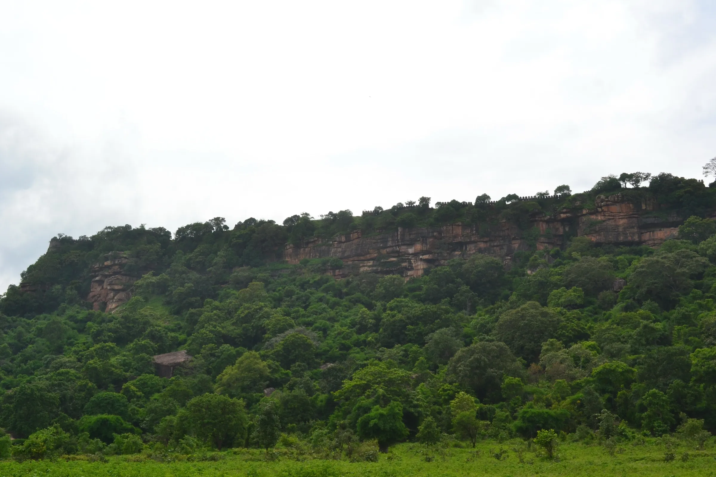
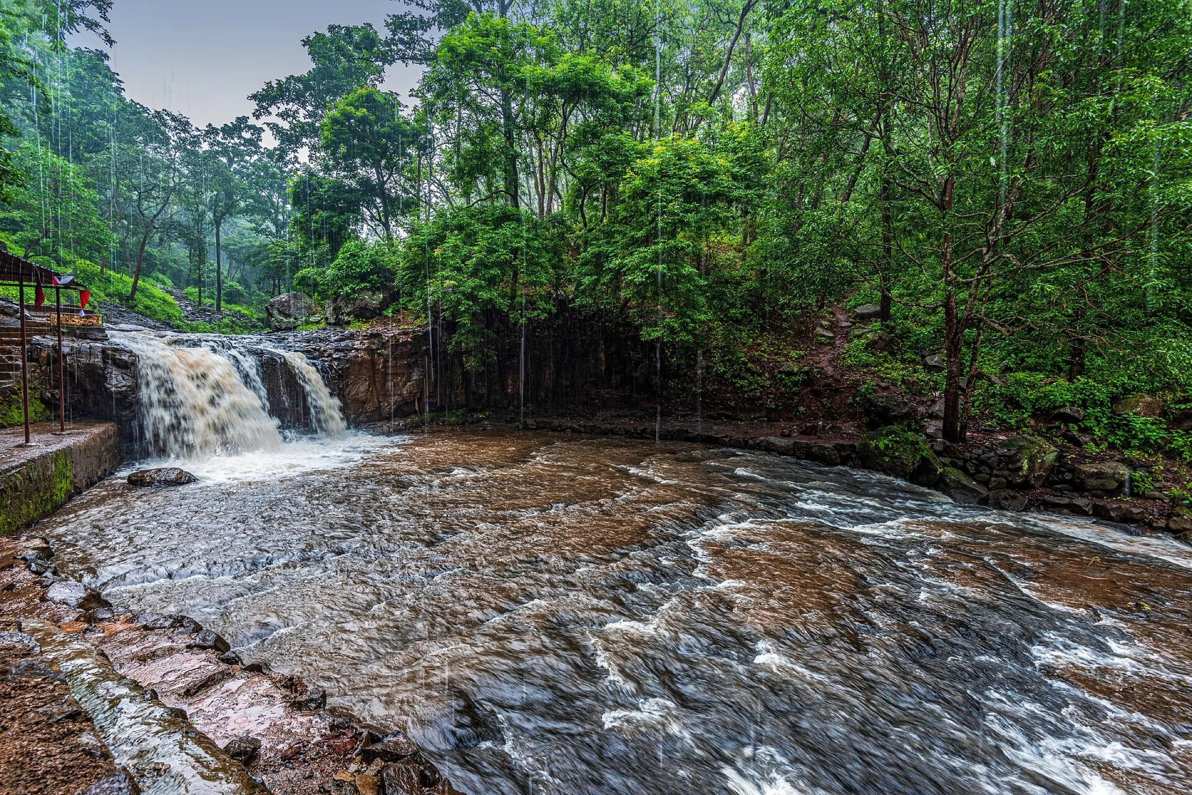
Sanjay Dubri is a four-night walk through a tiger reserve in Madhya Pradesh, led by forest guards. It runs from the Jamdhar Gate past the Jamdhar, Belaha and Sehra reservoirs, then over the Birchuli Dol meadow and Giddha Pahad to Karwahi village. The trail follows reservoir shores, leaf-covered forest and dirt tracks, with camps in clearings by the water. Wildlife sightings can change the route or end the trek early. It suits fit walkers comfortable with long days and basic camping.
The route
Day by day
Day 1
Beohari → Jamdhar Gate and Jamdhar Dam crest
400 m → 377 m
- Beohari to Jamdhar Gate is about 61 km by shared shuttle, roughly 2 hours; the walk starts at the gate.
- The first stretch is a rough, rocky road with an upward slope through tree-lined forest.
- Camp is an open clearing near the Jamdhar reservoir.
Day 2 · highest point
Jamdhar Dam → Narayan Ghati
377 m → 477 m
- About 13 km, typically 5 to 6 hours, passing three reservoirs: Jamdhar, Belaha and Sehra.
- The path narrows through bushes, then crosses rocky ground and streambeds; some sections are steep.
- Water: reservoirs en route; guards confirm the water near a small lake is safe to drink, and Khatola Naal also has water.
- Bears may use the paths near the reservoirs, so stay on the guide's route.
- Camp is a grassy clearing near Narayan Ghati Road with a large shade tree.
Day 3
Narayan Ghati → Sehra Dam
477 m → 420 m
- A short day of about 5 km, around 3 hours, on a smooth leaf-covered forest trail.
- About 15 minutes of off-trail walking leads to the Sehra Dam reservoir.
- Camp is a grassy open area at the western end of the reservoir, which is known for birds.
Day 4
Sehra Dam → Karwahi village (via Birchuli Dol and Giddha Pahad)
420 m → 419 m
- About 12 km, typically 5 to 6 hours; lake edges are muddy and slippery when water is low, so an upper parallel route helps.
- The route passes the Birchuli Dol meadow, then climbs a steep, rough section toward Giddha Pahad.
- It continues on an unpaved road and dirt track through the fenced reserve boundary into Karwahi.
- Water: reservoirs such as Belaha Dam and streams along the way.
- The night is in Karwahi village, hosted by the village school and headman.
Day 5
Karwahi → Beohari (drive)
419 m → 400 m
- About 44 km by road, around 1.5 hours, from Karwahi back to Beohari, where trains run toward Jabalpur.
Ups and downs
Altitude profile
Where it is
Map
Trailhead and high point only — not a recorded track. Use it with a proper map.
Weather
Next 5 days on the trail
Live forecast for the trailhead and the high point. Mountain weather changes fast — check again on the morning you start.
Trailhead · Jamdhar Gate (Jamdhar Dam)
at 377 mLoading forecast…
High point · Narayan Ghati campsite (highest surveyed point, terrain height)
at 477 mLoading forecast…
Each day: high / low °C · rain mm and chance · snow cm · wind km/h
Weather data: Open-Meteo.comModel forecast, not an official warning. For alerts follow IMD and the local administration.
Plan the trip
How to reach
- Trailhead
- Jamdhar Gate (Jamdhar Dam) (nearest town: Beohari)
- Nearest railway
- Beohari
- Nearest airport
- Jabalpur Airport
- By road
- Beohari to Jamdhar Gate (about 61 km, about 2 hours, dirt track for the last stretch); Karwahi back to Beohari (about 44 km, about 1.5 hours)
- Drive
- About 6 h from Jabalpur
Plan the trip
Permits and fees
We could not confirm the current permit rules and fees from an official source. Check with the local forest department or tourism office before you go.
Plan the trip
Cost
Self-guided
₹6,000–12,000
With an operator
₹8,000–16,000
Per person, ex-Beohari. No operator price could be confirmed: the Indiahikes trek guide gives no fee, and the figures here are a reasoned estimate (forest-guard and entry charges, camping gear and a private vehicle shared between trekkers). The trek can only be done with certified forest guides, so truly independent trekking is not allowed; confirm cost with the Sanjay Dubri Tiger Reserve office or the organiser.
Gear
Top picks for this trek
The gear that matters most on this route, chosen from its altitude, season and risks.
 Ad · affiliate link
 Ad · affiliate link
 Ad · affiliate link
 Ad · affiliate link
- Ad · affiliate link
 Ad · affiliate link
 Ad · affiliate link
 Ad · affiliate link
Store buttons open a search on that store, not a product we picked. As an Amazon Associate we earn from qualifying purchases. Photos show the kind of item, not a specific product. Affiliate disclosure
Packing checklist
Matched to this trek: altitude, season, days and the risks on the route.
Packed 0 of 27
Hot days in Mar: start at first light and carry extra water and ORS.
Tick each item as it goes in the bag.
Know before you go
Good to know
- Mobile network
- Not stated by sources; expect little or no mobile signal inside the reserve. Jamdhar is remote, 27 km from Majhauli.
- Last ATM
- Beohari (not confirmed by a source; carry cash)
- Nearest hospital
- Government hospital in Beohari; up to 3 hours from the farthest point of the trail (Indiahikes)
- Water
- Jamdhar, Sehra and Belaha reservoirs, Khatola Naal pools (hold potable water into summer) and a pond that the forest guard calls potable; treat all water and carry enough for dry stretches.
Highlights
- Walking through the Marwas and Beohari buffer zones of a tiger reserve, away from jeep-safari traffic, with forest guards leading
- Camping at Jamdhar Dam and on the grassland beside Sehra Dam, a birdwatchers' reservoir with over 20 easily seen species
- Birchuli Dol, a wide secluded meadow where local herders graze cattle, and the Giddha Pahad forest hut
- Khatola Naal pools, rock shelters and sal-bamboo forest where leopard and bear pugmarks are common
Risks
- Tiger reserve: bears, leopards and tigers are present; the trek is allowed only with certified forest guides and the route can be changed or cut short for wildlife activity (Indiahikes).
- Never leave the guide's path; the forest is home to bears that use the trails to reach reservoirs.
- Streams and river crossings become harder after untimely rain; the organiser does not run the trek in the monsoon.
- Official permit, fee and booking rules were not confirmed from a forest-department source; check with the reserve before planning.
Know before you go
Questions
Can I trek in Sanjay Dubri Tiger Reserve without a guide?
No. Indiahikes states the trek is run with the forest department and Madhya Pradesh Tourism, in restricted areas, and can only be done with certified forest guides accompanying the group.
How long is the Sanjay Dubri trek?
Indiahikes documents a 5-day route: a drive to Jamdhar, then walking days of about 13 km, 5 km and 12 km, finishing at Karwahi village and a drive back to Beohari. That is about 30 km of walking.
How do I reach the Sanjay Dubri trek start?
The nearest railway station is Beohari and the nearest airport is Jabalpur. Jamdhar Gate is about 61 km (2 hours) from Beohari; public buses and cabs run to Majhauli and Jamdhar is a further 27 km.
What wildlife can trekkers expect?
Indiahikes reports bear and leopard pugmarks, spotted deer and over 300 bird species in the reserve, with Sehra Dam the main birding spot. Tigers live in the reserve but sightings on foot are not promised.
In an emergency
Save these numbers before you lose signal. Tap to call.
- 112All emergenciesIndia’s single emergency number — works in every state
- 108Ambulance
- 1077District disaster control room
You are in
District: SidhiMadhya Pradesh
- Nearest hospital
- Government hospital in Beohari; up to 3 hours from the farthest point of the trail (Indiahikes)
- Last ATM
- Beohari (not confirmed by a source; carry cash)
- Phone network
- Not stated by sources; expect little or no mobile signal inside the reserve. Jamdhar is remote, 27 km from Majhauli.
Before you set off
- Tell someone your route and when you will be back.
- Carry a charged phone and a power bank.
- Download an offline map of the route.
- Turn back if the weather turns bad — the mountain will wait.
Questions about Sanjay Dubri
No questions yet. Ask something and trekkers who have done it can answer.
Share your trek photo with #TreksAndTrails
I trekked this
Did Sanjay Dubri look different from this page? Tell us what changed and we will check it.
Where this comes from
Sources
Last reviewed: