Kamadgiri Parikrama Trek
Chitrakoot, Madhya Pradesh & Uttar Pradesh
Opens without signal on this phone, with the map file and checklist. Saved for offline →
- Max altitude
- 137 m
- Days
- 1 day
- Distance
- 5 km
- Difficulty
- Easy
A flat, paved circuit of about 5 km around the base of the hill, walked barefoot by most pilgrims; the effort is the heat, the crowds on Amavasya and the time spent at the shrines.
About this trek
Kamadgiri Parikrama
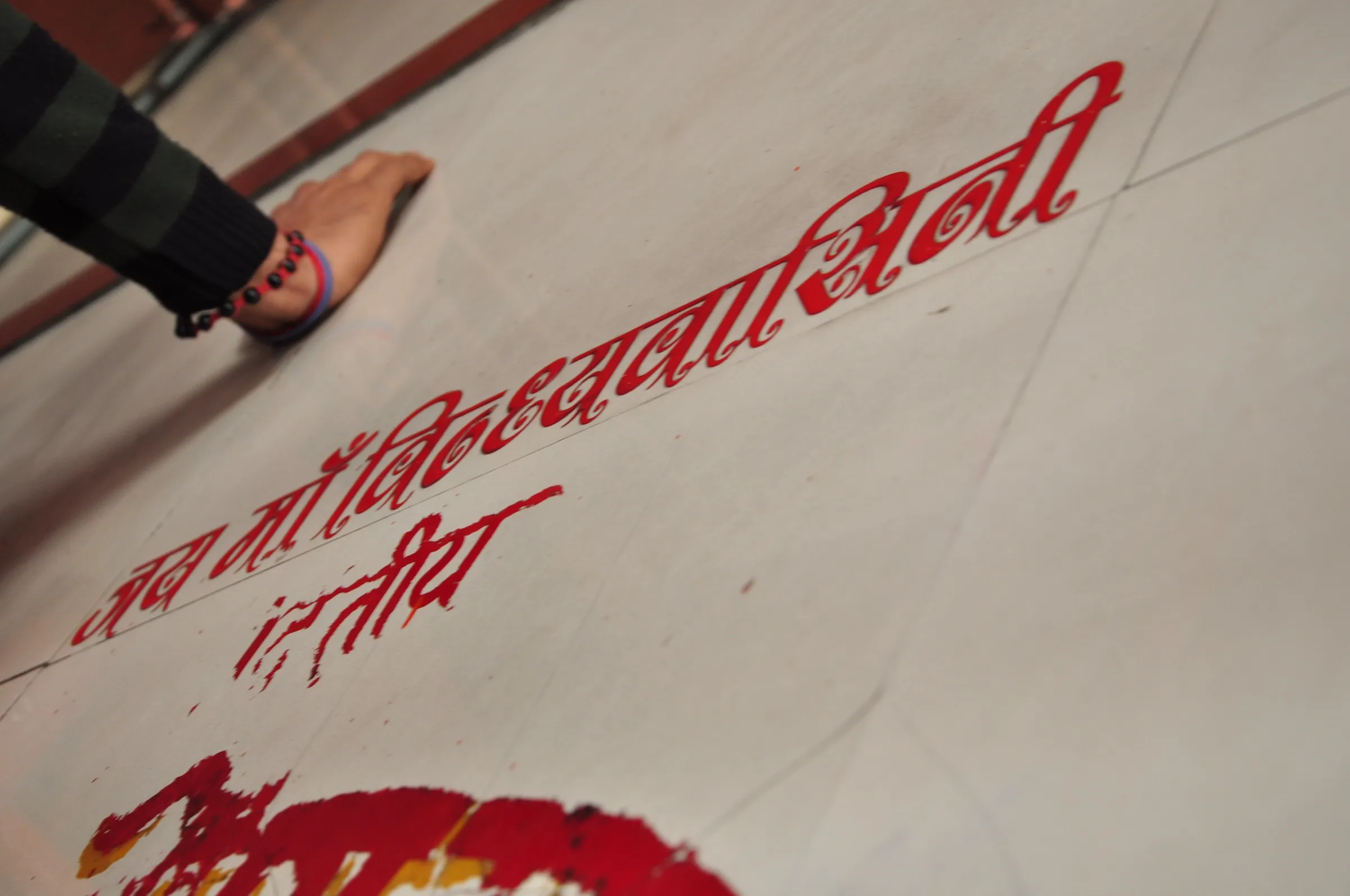
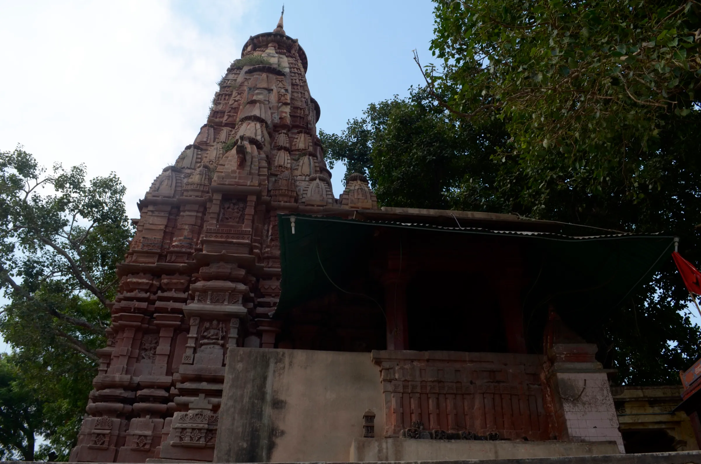
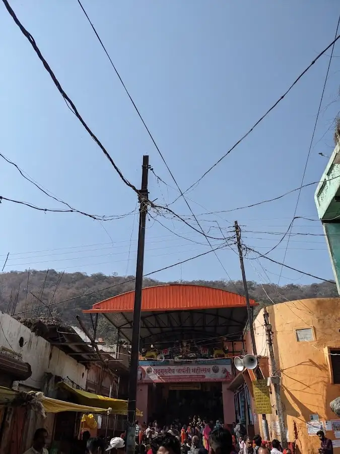
Kamadgiri is the forested hill at the heart of Chitrakoot, where devotees believe Rama, Sita and Lakshmana lived during their exile. The parikrama is a loop of about 5 km around its base on a paved path, starting at the Kamtanath temple at the northern entrance. Many pilgrims first bathe at Ram Ghat on the Mandakini River. The path passes small shrines such as Bharat Milap, Mukharvind and Baraha Hanuman. It is flat, shaded in parts and walked mostly barefoot, so it suits all ages.
Photos
On the trail
The route
Day by day
Day 1 · highest point
Kamtanath Temple (Mukharvind) → Kamtanath Temple
137 m → 137 m
- The loop is about 5 km on a paved path around the hill; sources give 3 to 4 hours at a pilgrim's pace.
- Many pilgrims bathe at Ram Ghat on the Mandakini first, then begin at the Kamtanath temple at the northern entrance.
- Shrines on the way include Bharat Milap, Mukharvind, Baraha Hanuman and Lakshman Pahari; small shops sell puja items.
- Most people walk barefoot, so the paving can burn feet by midday in summer; go early.
- Some devotees do the dandavat parikrama, bowing at every step, which takes much longer.
Ups and downs
Altitude profile
Where it is
Map
Trailhead and high point only — not a recorded track. Use it with a proper map.
Weather
Next 5 days on the trail
Live forecast for the trailhead and the high point. Mountain weather changes fast — check again on the morning you start.
Trailhead · Kamtanath Temple
at 137 mLoading forecast…
High point · Kamadgiri circuit (Chitrakoot plain)
at 137 mLoading forecast…
Each day: high / low °C · rain mm and chance · snow cm · wind km/h
Weather data: Open-Meteo.comModel forecast, not an official warning. For alerts follow IMD and the local administration.
Plan the trip
How to reach
- Trailhead
- Kamtanath Temple (nearest town: Chitrakoot Dham)
- Nearest railway
- Chitrakutdham Karwi (about 8-12 km)
- Nearest airport
- Chitrakoot Airport (about 18 km, per Thrillophilia); Prayagraj (Bamrauli) about 111 km
- By road
- Satna (about 75-80 km); Prayagraj, Lucknow, Kanpur and Varanasi by regular bus
- Drive
- About 3 h from Prayagraj
Plan the trip
Permits and fees
We could not confirm the current permit rules and fees from an official source. Check with the local forest department or tourism office before you go.
Plan the trip
Cost
Self-guided
₹500–2,500
With an operator
Free
Per person, ex-Chitrakoot Dham. The parikrama is free and walked without a guide; no operator sells it as a trek. Self-guided range is an estimate: auto-rickshaw to the entrance, puja items, and a simple room (Wikivoyage lists about Rs 500 for a basic room and Rs 250 for an MP Tourism dormitory bed; Rs 1,500 for a double).
Gear
Top picks for this trek
The gear that matters most on this route, chosen from its altitude, season and risks.
 Ad · affiliate link
 Ad · affiliate link
 Ad · affiliate link
 Ad · affiliate link
- Ad · affiliate link
 Ad · affiliate link
 Ad · affiliate link
 Ad · affiliate link
Store buttons open a search on that store, not a product we picked. As an Amazon Associate we earn from qualifying purchases. Photos show the kind of item, not a specific product. Affiliate disclosure
Packing checklist
Matched to this trek: altitude, season, days and the risks on the route.
Packed 0 of 18
Hot days in Mar: start at first light and carry extra water and ORS.
Tick each item as it goes in the bag.
Know before you go
Good to know
- Mobile network
- Town coverage; not checked on the circuit.
- Last ATM
- Chitrakoot Dham town (not individually confirmed)
- Nearest hospital
- District Hospital Chitrakoot
- Water
- Not stated by sources; small shops along the path sell puja items and refreshments. Carry your own bottled water.
Highlights
- Parikrama of Kamadgiri, the hill where Bhagwan Shri Ram is said to have lived during his exile; Bhagwan Kamtanath is its presiding deity
- Darshan at Bharat Milap Mandir, Mukharvind, Bharat Janak Milap, Barha Hanuman and Lakshman Pahari on one circuit
- A clean, paved circuit through shaded forest, walked barefoot by pilgrims
- Traditionally begun with a dip at Ram Ghat on the Mandakini
Risks
- Amavasya (new moon) brings very large crowds and heavy rush; expect delays and push in the temples.
- Monkeys and langurs along the path snatch food and prasad; keep it in a bag.
- Walking barefoot on paved road can burn feet in the heat of the day; early morning is cooler.
- Wikivoyage reports that some hotels near Chitrakoot Dham may refuse foreign tourists; it is unclear if this is official.
Know before you go
Questions
How long is the Kamadgiri parikrama and how long does it take?
About 5 km (Wikivoyage says 5.5 km). Sources differ on time: about 1.5 to 2 hours at a gentle pace (Chitrakoot Dham site), 3 to 4 hours with shrine stops (Thrillophilia). Dandavat (prostration) parikrama can take hours.
Where does the Kamadgiri parikrama start?
Pilgrims traditionally begin after a dip at Ram Ghat and start from the Kamtanath / Mukharvind temple side, breaking a coconut there. Ram Ghat is about 2 km from the bus stand.
Do you have to walk barefoot?
Many pilgrims walk barefoot, as the hill is sacred, but the sources state no formal rule. Footwear can be left at shops near the entrance.
When is the best time to do the parikrama?
Winter is considered best and July to March is recommended; early morning (about 4 to 7 am) is cooler and quieter. Amavasya is the most significant but most crowded day.
Is there an entry fee?
No. Thrillophilia lists entry as free.
In an emergency
Save these numbers before you lose signal. Tap to call.
- 112All emergenciesIndia’s single emergency number — works in every state
- 108Ambulance
- 1077District disaster control room
You are in
District: ChitrakootMadhya Pradesh · Uttar Pradesh
- Nearest hospital
- District Hospital Chitrakoot
- Last ATM
- Chitrakoot Dham town (not individually confirmed)
- Phone network
- Town coverage; not checked on the circuit.
Before you set off
- Tell someone your route and when you will be back.
- Carry a charged phone and a power bank.
- Download an offline map of the route.
- Turn back if the weather turns bad — the mountain will wait.
Questions about Kamadgiri Parikrama
No questions yet. Ask something and trekkers who have done it can answer.
Share your trek photo with #TreksAndTrails
I trekked this
Did Kamadgiri Parikrama look different from this page? Tell us what changed and we will check it.
Where this comes from
Sources
Last reviewed:
- Chitrakoot - Wikivoyage — Wikivoyage
- Kamadgiri, Chitrakoot — Tirthayatra.org
- Kamadgiri Temple, Chitrakoot — Thrillophilia
- Kamadgiri Parikrama — Chitrakoot Dham community site (Mahsua)
Photos: Pearl1920, CC BY 4.0; Pearl1920, CC BY 4.0; Engshubham, CC BY-SA 4.0; Biswarup Ganguly, CC BY 3.0