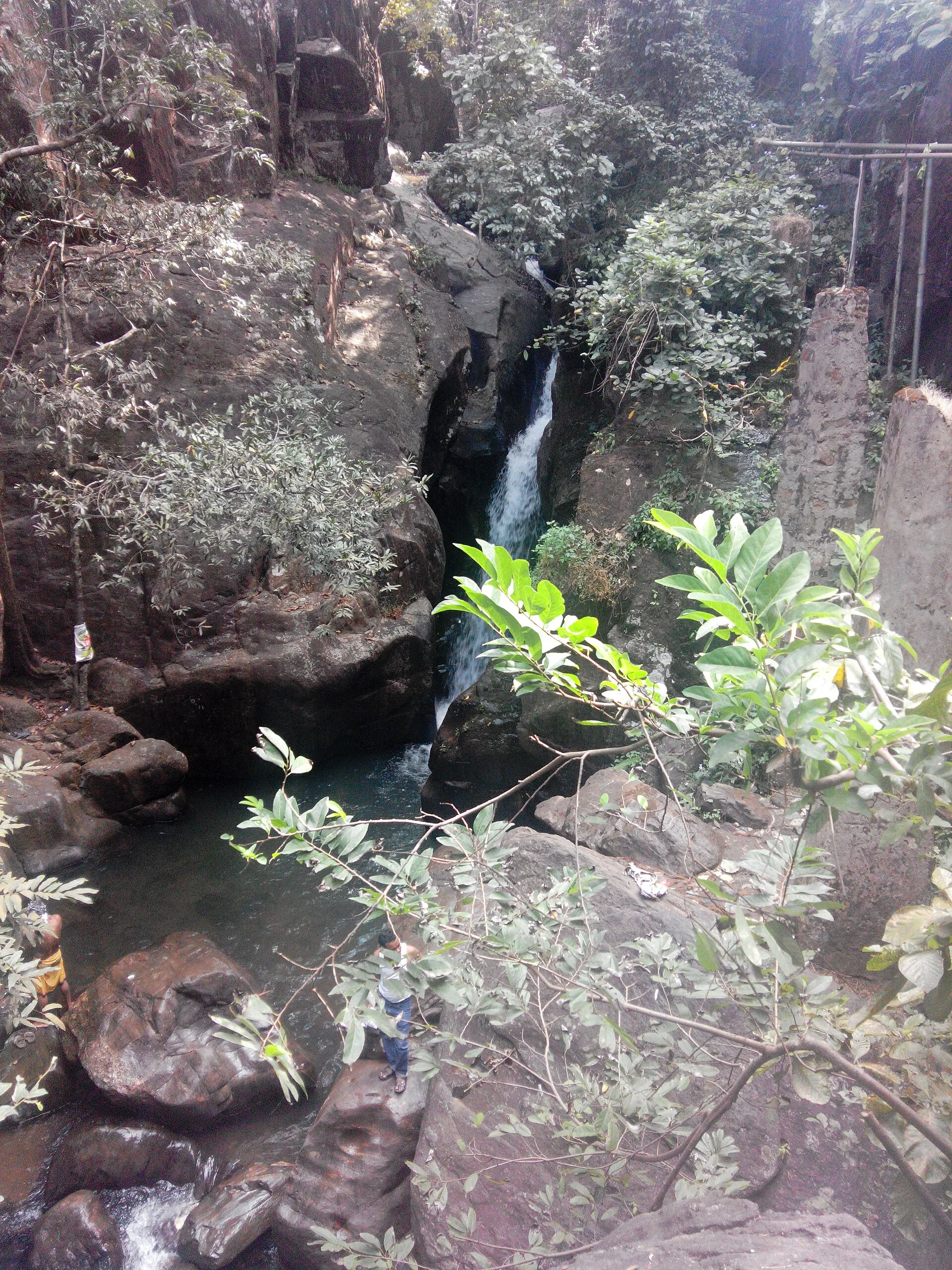
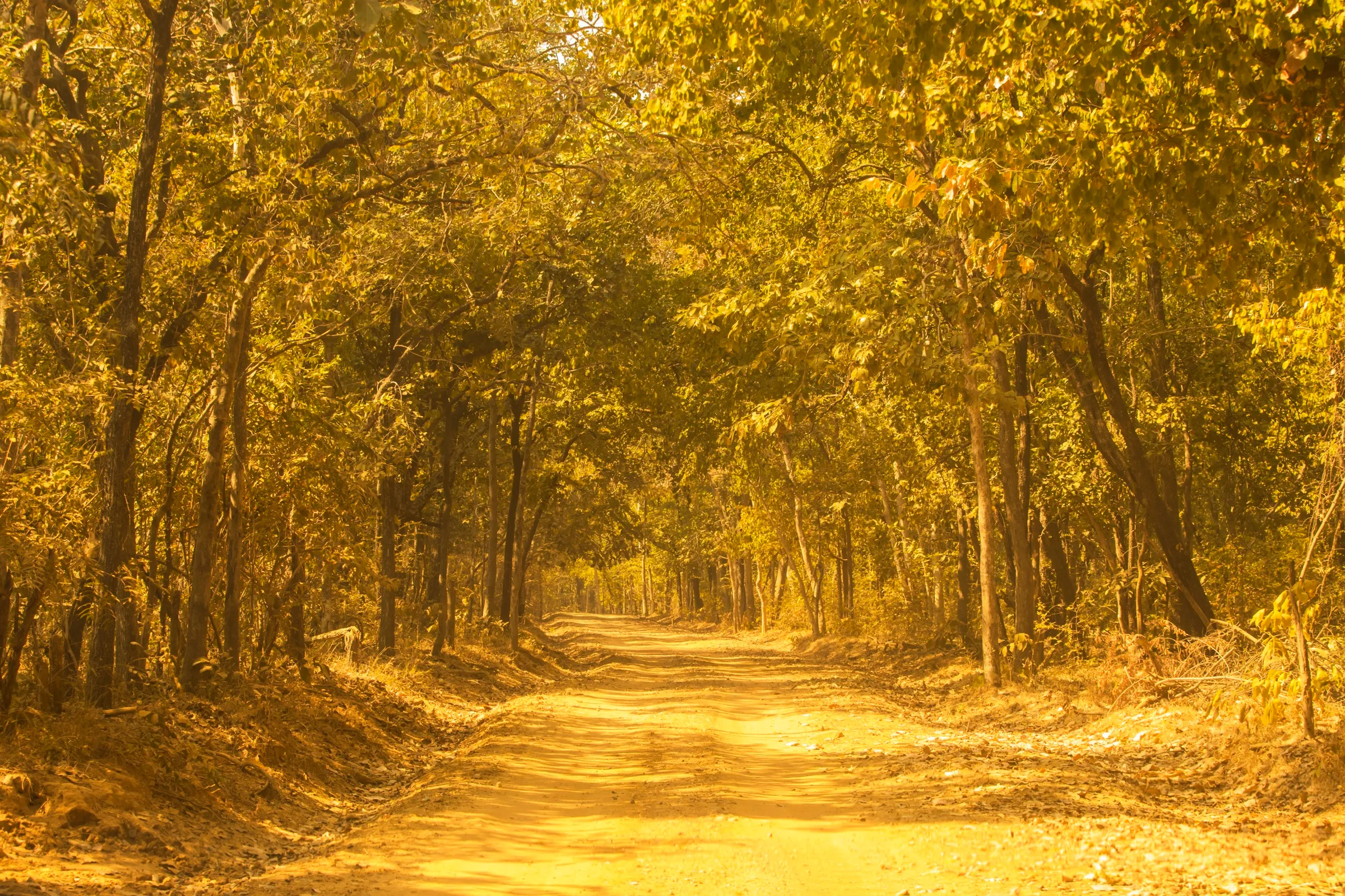
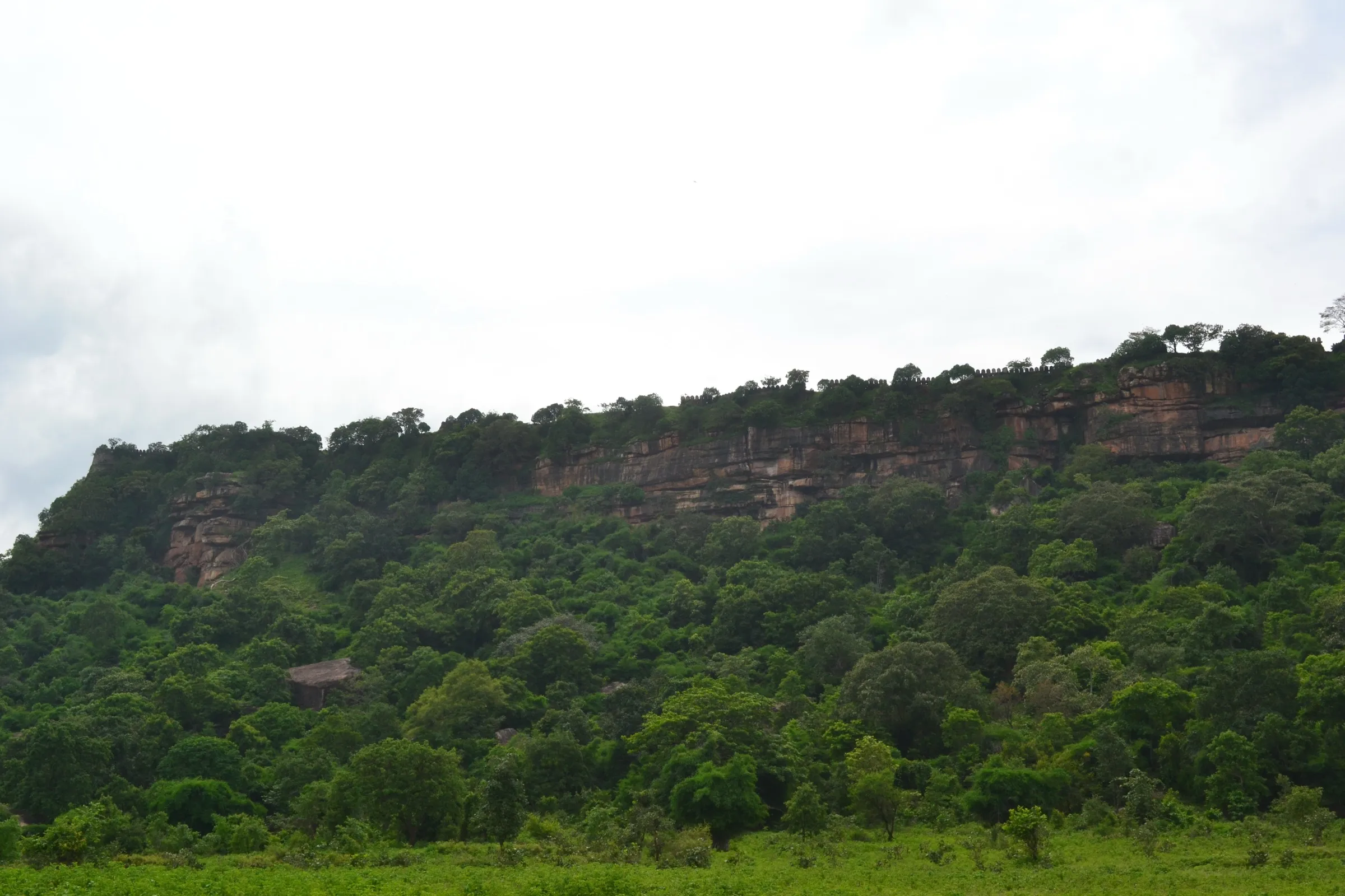
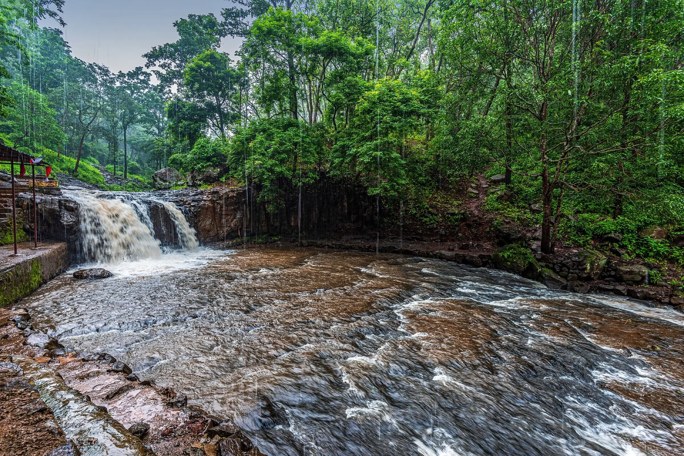
Amarkantak Waterfalls Trek
Anuppur, Madhya Pradesh & Chhattisgarh
Opens without signal on this phone, with the map file and checklist. Saved for offline →
- Max altitude
- 1,048 m
- Days
- 4 days
- Distance
- 25 km
- Difficulty
- Easy
Operators rate it easy: gentle, mostly flat walking of 6 to 10 km a day through grassland and Sal forest, with a river walk of about 1.5 to 2 km in shallow water, slippery moss and ticks in winter as the main hazards.
Photos
On the trail
The route
Day by day
Day 1 · highest point
Jabalpur Railway Station → Johila Dam
1,048 m → 1,048 m
Day 2 · highest point
Johila Dam → Padouna campsite
1,048 m → 1,048 m
Day 3 · highest point
Padouna campsite → Shambhu Sarovar campsite
1,048 m → 1,048 m
Day 4 · highest point
Shambhu Sarovar campsite → Damgarh exit (drive to Jabalpur)
1,048 m → 1,048 m
Ups and downs
Altitude profile
Where it is
Map
Trailhead and high point only — not a recorded track. Use it with a proper map.
Weather
Next 5 days on the trail
Live forecast for the trailhead and the high point. Mountain weather changes fast — check again on the morning you start.
Trailhead · Johila Dam
at 1,048 mLoading forecast…
High point · Amarkantak plateau (approximate)
at 1,048 mLoading forecast…
Each day: high / low °C · rain mm and chance · snow cm · wind km/h
Weather data: Open-Meteo.comModel forecast, not an official warning. For alerts follow IMD and the local administration.
Plan the trip
How to reach
- Trailhead
- Johila Dam (nearest town: Amarkantak)
- Nearest railway
- Jabalpur
- Nearest airport
- Jabalpur
- By road
- Jabalpur Railway Station to Johila Dam (about 264 km, 5.5 hours; operator transport)
- Drive
- About 5.5 h from Jabalpur
Plan the trip
Permits and fees
We could not confirm the current permit rules and fees from an official source. Check with the local forest department or tourism office before you go.
Plan the trip
Cost
Self-guided
₹3,000–6,000
With an operator
₹8,700–12,000
Per person, ex-Jabalpur. Only one operator found: Indiahikes lists a trek fee of ₹8,250 + 5% GST, with optional non-AC transport Jabalpur-Johila Dam-Jabalpur at ₹3,000 + 5% GST extra (published October 2026). Self-guided is a rough estimate only (taxi share, local stay, food) and is not advised: Indiahikes says much of the route is otherwise restricted and open only under an MoU with Madhya Pradesh Tourism.
Gear
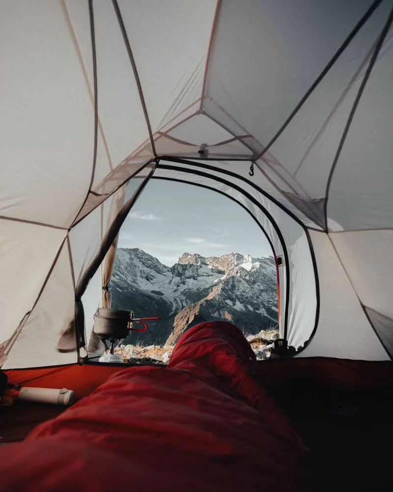
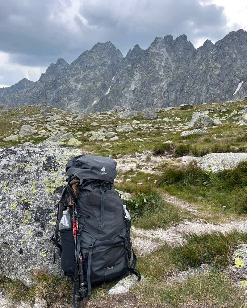
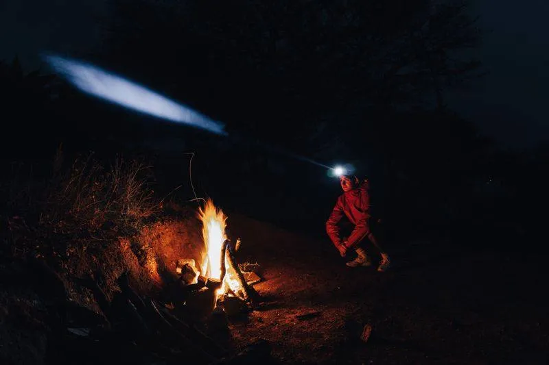
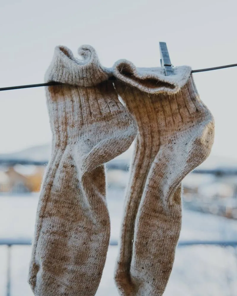
Top picks for this trek
The gear that matters most on this route, chosen from its altitude, season and risks.
 Ad · affiliate link
 Ad · affiliate link
 Ad · affiliate link
 Ad · affiliate link
 Ad · affiliate link
 Ad · affiliate link
 Ad · affiliate link
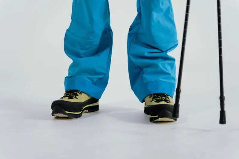 Ad · affiliate link
Store buttons open a search on that store, not a product we picked. As an Amazon Associate we earn from qualifying purchases. Photos show the kind of item, not a specific product. Affiliate disclosure
Packing checklist
Matched to this trek: altitude, season, days and the risks on the route.
Packed 0 of 24
Tick each item as it goes in the bag.
Know before you go
Good to know
- Mobile network
- No mobile network on the trail (Indiahikes).
- Last ATM
- Not confirmed; carry cash from Jabalpur or Amarkantak town.
- Nearest hospital
- Government district hospital, Anuppur
- Water
- Streams cross the trail often and there are waterfalls and the Shambhu Sarovar reservoir; the Padouna waterfall runs through winter. Treat all water before drinking.
Highlights
- Padouna waterfall, which keeps flowing in winter when most waterfalls in the region fade
- Lakshman Dhara and Shambhu Dhara, forest waterfalls rarely visited by tourists
- Walking through the Sal forests of the Amarkantak-Achanakmar Biosphere Reserve, where the Narmada, Son and Johila rivers rise
- A 1.5 to 2 km river walk in shallow water near Damgarh, and Panchdhara where five streams join before flowing into Maa Narmada
Risks
- Access is restricted: Indiahikes describes this as a pilot trek run under an MoU with Madhya Pradesh Tourism, over land that is otherwise restricted, and says it does not know if it will open again. Confirm availability before planning.
- Tiger-reserve forest: the route lies in the Amarkantak-Achanakmar Biosphere Reserve; go only with an authorised guided group.
- The river walk is barefoot over sharp stones and slippery moss; in the monsoon water rises and the leader may skip it.
- Ticks in winter and mosquitoes in monsoon and post-monsoon; cover exposed skin.
Know before you go
Questions
When is the best time for the Amarkantak waterfall trek?
Indiahikes names November to February as the best months: days of about 24-28 °C, nights of 5-10 °C, lush streams and wildlife. The forest stays under about 30 °C from August onward, but monsoon and post-monsoon are humid and buggy.
Can I trek to the Amarkantak waterfalls on my own?
We found no open public trail. Indiahikes says the route is otherwise restricted and was opened only through an MoU with Madhya Pradesh Tourism, as pilot groups. The district tourism site lists Shambhudhara and Durgadhara as waterfalls deep in the forest that need a walk of a few kilometres.
How long and how hard is the trek?
Indiahikes lists four days and about 33 km, rated easy. Its day-by-day figures are 6 km, 10 km and 9 km of walking after a drive day, and it is suitable for ages 8 and above.
How do I reach the start?
Fly or take a train to Jabalpur. Indiahikes picks up from Jabalpur Railway Station and drives about 264 km (5.5 hours) to Johila Dam; the drop-back from Damgarh takes about 6 hours.
In an emergency
Save these numbers before you lose signal. Tap to call.
- 112All emergenciesIndia’s single emergency number — works in every state
- 108Ambulance
- 1077District disaster control room
You are in
District: AnuppurMadhya Pradesh · Chhattisgarh
- Nearest hospital
- Government district hospital, Anuppur
- Last ATM
- Not confirmed; carry cash from Jabalpur or Amarkantak town.
- Phone network
- No mobile network on the trail (Indiahikes).
Before you set off
- Tell someone your route and when you will be back.
- Carry a charged phone and a power bank.
- Download an offline map of the route.
- Turn back if the weather turns bad — the mountain will wait.
Questions about Amarkantak Waterfalls
No questions yet. Ask something and trekkers who have done it can answer.
Share your trek photo with #TreksAndTrails
I trekked this
Did Amarkantak Waterfalls look different from this page? Tell us what changed and we will check it.
Where this comes from
Sources
Last reviewed:
- Amarkantak River Trail 2026 — Indiahikes
- Places of Interest, Anuppur district — Anuppur District Administration (NIC) (official)
Photos: Madhya Pradesh Tourism, CC BY-SA 4.0; Arpan.chottu, CC BY-SA 4.0