Gandhamardan Hills Trek
Balangir, Odisha
Opens without signal on this phone, with the map file and checklist. Saved for offline →
- Max altitude
- 1,060 m
- Days
- 1 day
- Distance
- 16 km
- Difficulty
- Moderate
A one-way walk of about 16 km along the hilltop road over the ridge from Harishankar on the southern slope to Nrusinghanath on the northern slope, with a climb of several hundred metres and a long day on foot.
About this trek
Gandhamardan Hills
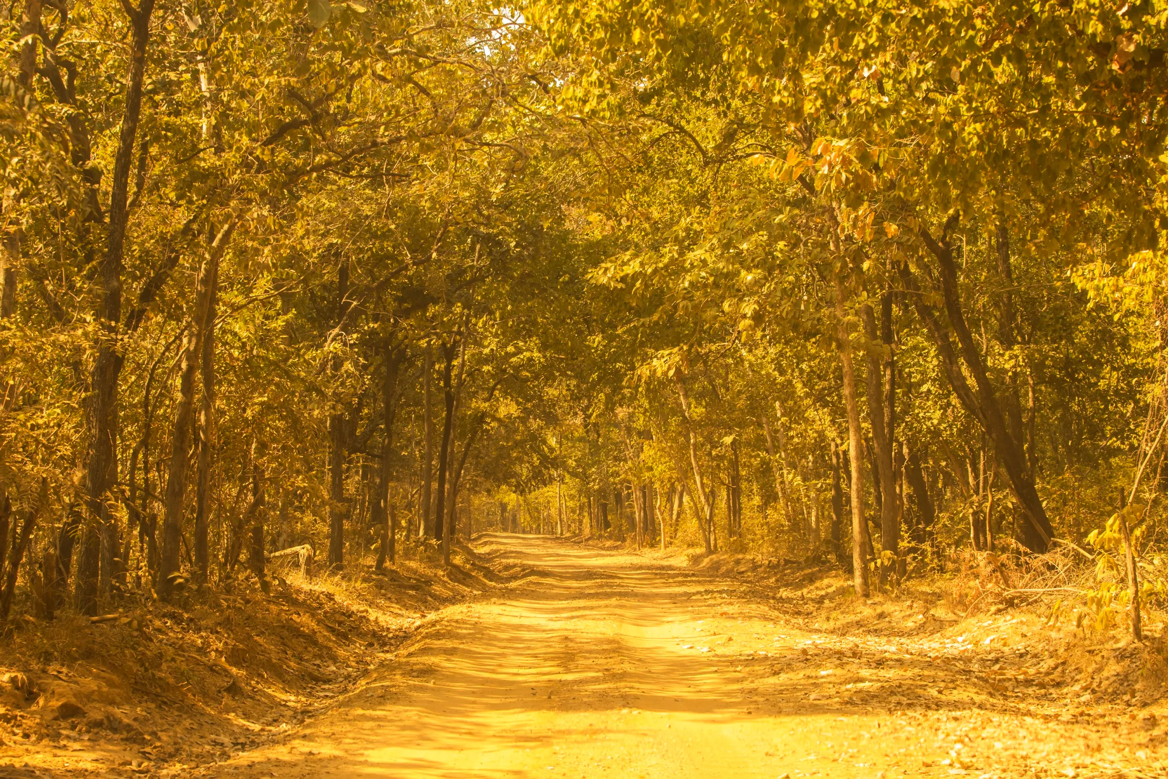
Gandhamardan Hills is a forested hill in western Odisha, between the Balangir and Bargarh districts, rising to about 1,060 m. The walk follows a hilltop road of about 16 km from the Harishankar Temple on the southern slope to the Nrusinghanath Temple on the northern slope. Pilgrims walk it in a day during the Nrusingha Chaturdasi Mela, and trekkers also use it. It suits a fit walker interested in temples and the hill's medicinal plants, ideally with a local guide.
Photos
On the trail
The route
Day by day
Day 1 · highest point
Harishankar Temple → Nrusinghanath Temple
440 m → 1,060 m → 330 m
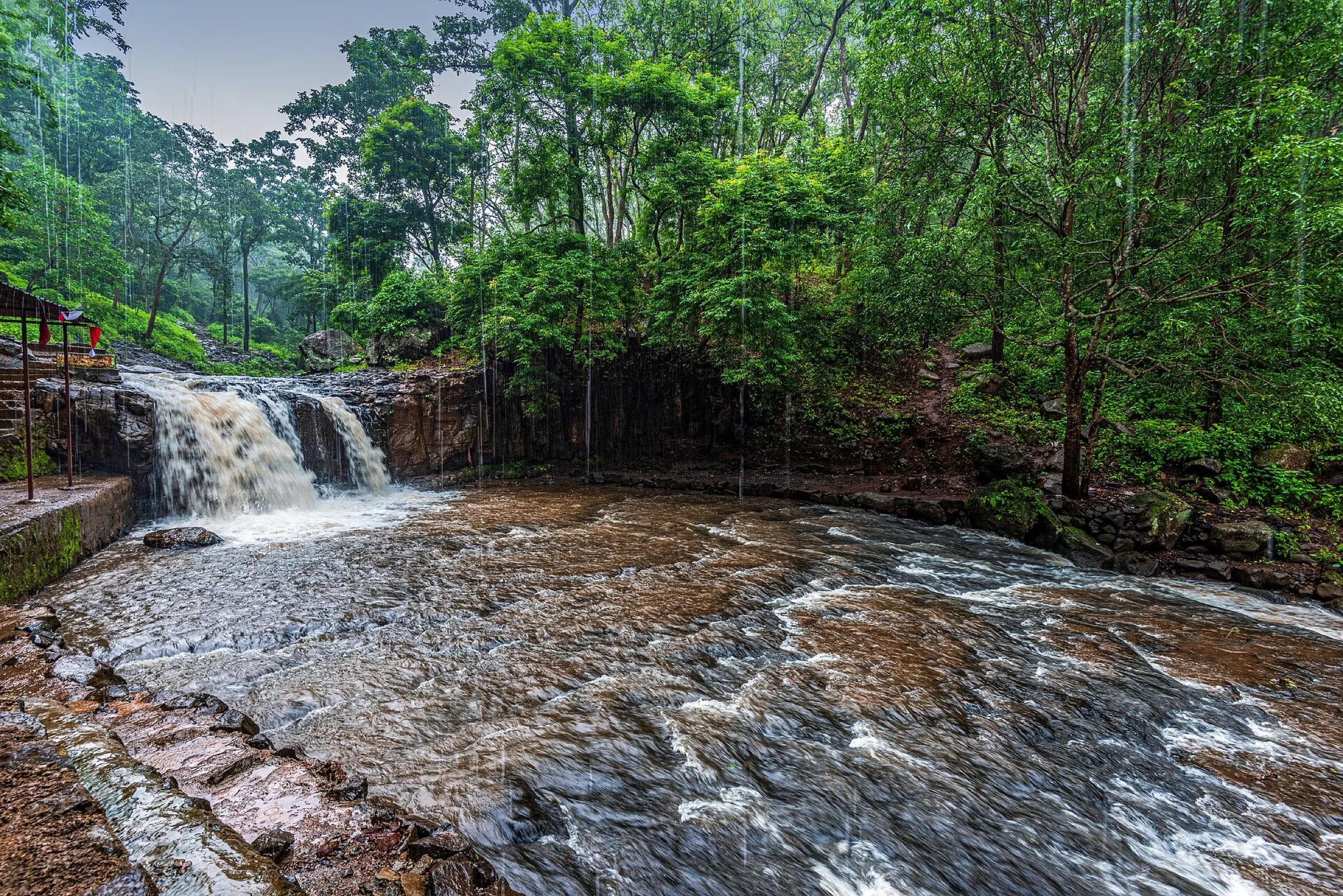
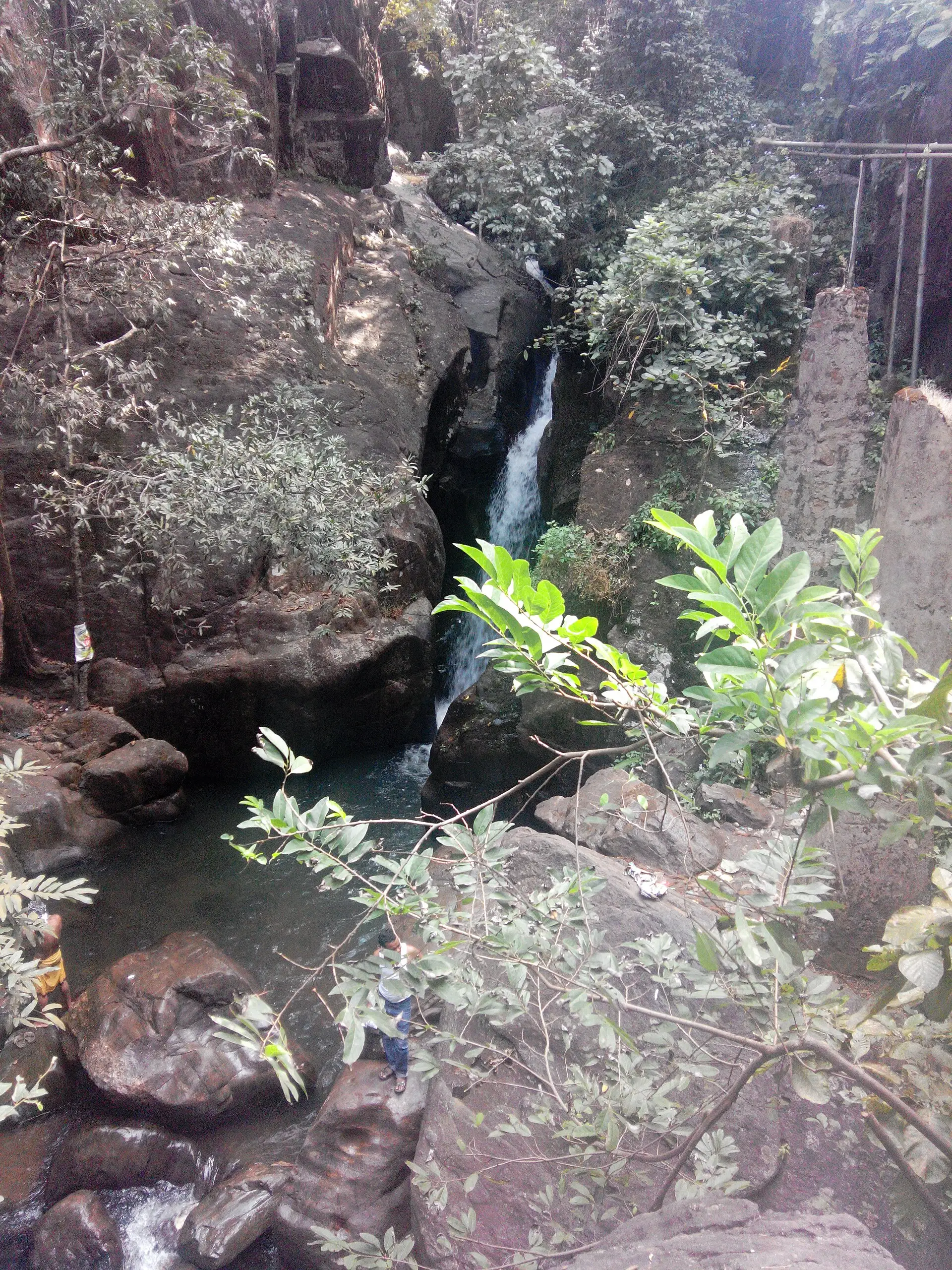
- Start at Harishankar on the southern slope, where a perennial stream runs over granite and forms small cascades.
- A hilltop road of about 16 km links Harishankar to Nrusinghanath; pilgrims often walk it in a day.
- The hill is known for medicinal plants and forest cover; the highest point is about 1,060 m.
- Last sure water is the stream at Harishankar; carry enough for the ridge and treat what you collect.
- The walk ends at Nrusinghanath on the northern slope, in Bargarh district.
Ups and downs
Altitude profile
Where it is
Map
Trailhead and high point only — not a recorded track. Use it with a proper map.
Weather
Next 5 days on the trail
Live forecast for the trailhead and the high point. Mountain weather changes fast — check again on the morning you start.
Trailhead · Harishankar
at 440 mLoading forecast…
High point · Gandhamardan Hills (hill's mapped position on Wikipedia; the exact top is not mapped)
at 1,060 mLoading forecast…
Each day: high / low °C · rain mm and chance · snow cm · wind km/h
Weather data: Open-Meteo.comModel forecast, not an official warning. For alerts follow IMD and the local administration.
Plan the trip
How to reach
- Trailhead
- Harishankar (nearest town: Paikmal)
- Nearest railway
- Harishankar Road (about 32 km from Harishankar); Khariar Road for Nrusinghanath
- Nearest airport
- Swami Vivekananda Airport, Raipur (about 201 km from Harishankar)
- By road
- Balangir (about 81 km to Harishankar on an all-weather road; buses run, own transport recommended); Bargarh (about 110 km to Nrusinghanath)
- Drive
- About 7 h from Bhubaneswar
Plan the trip
Permits and fees
We could not confirm the current permit rules and fees from an official source. Check with the local forest department or tourism office before you go.
Plan the trip
Cost
Self-guided
₹1,500–4,000
With an operator
Free
Per person, ex-Balangir. No operator package prices found, so guided is shown as 0 (none published). Self-guided is a rough estimate only: bus or taxi to Harishankar, a return taxi from Nrusinghanath, a local guide and food; not sourced. Check locally.
Gear
Top picks for this trek
The gear that matters most on this route, chosen from its altitude, season and risks.
 Ad · affiliate link
 Ad · affiliate link
 Ad · affiliate link
 Ad · affiliate link
 Ad · affiliate link
 Ad · affiliate link
 Ad · affiliate link
- Ad · affiliate link
Store buttons open a search on that store, not a product we picked. As an Amazon Associate we earn from qualifying purchases. Photos show the kind of item, not a specific product. Affiliate disclosure
Packing checklist
Matched to this trek: altitude, season, days and the risks on the route.
Packed 0 of 18
Tick each item as it goes in the bag.
Know before you go
Good to know
- Mobile network
- Not confirmed; expect patchy mobile signal on the hill.
- Last ATM
- Not confirmed; carry cash from Balangir, Paikmal or Padampur.
- Nearest hospital
- Not confirmed; Balangir is the district headquarters.
- Water
- A stream flows at Harishankar; water along the ridge is not confirmed, so carry enough and treat it.
Highlights
- Walk between two ancient temples: Harishankar (Bhagwan Shiva and Vishnu) on the southern slope and Nrusinghanath (Bhagwan Narasimha) on the northern slope
- Hindu tradition holds that this hill is a portion of Gandhamardan Parvat dropped by Hanuman ji while carrying the Sanjeevani mountain
- A hilltop road of about 16 km that pilgrims walk in a day during the Nrusingha Chaturdasi Mela
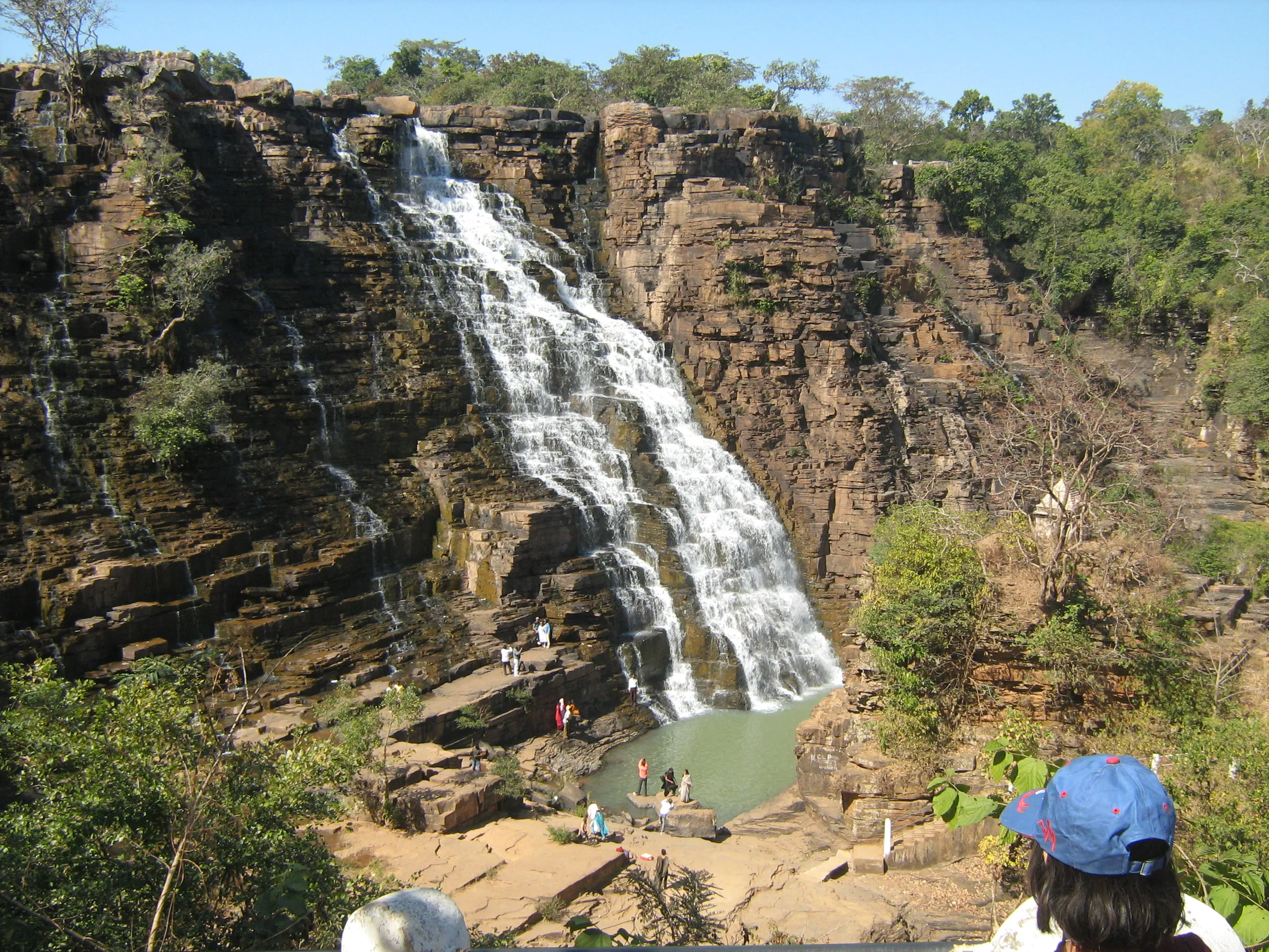
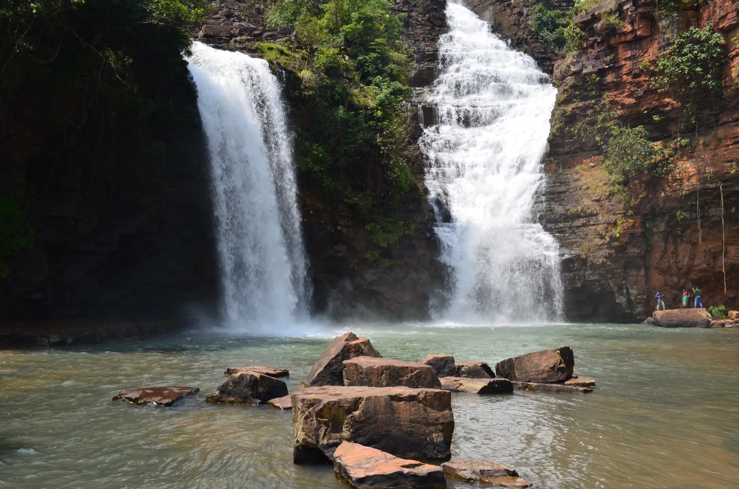
- Cool forested hills, a stream at Harishankar and waterfall spots near Nrusinghanath
Risks
- Trail conditions, water and signal are not confirmed by any source we found; go with a local guide and start early.
- The hills have a bauxite reserve proposed for exploration, and local people have long resisted it; ask locally whether any area is restricted.
- Large crowds during the Nrusingha Chaturdasi Mela (Vaisakha, about April-May).
Know before you go
Questions
How long is the Harishankar to Nrusinghanath trek?
The Balangir district tourism page says a hilltop road of about 16 km links the two temples, and that pilgrims often walk it in one day during the Nrusingha Chaturdasi Mela.
How high are the Gandhamardan Hills?
Wikipedia gives the highest peak as 1,060 m. The hills lie between Balangir and Bargarh districts of Odisha.
How do I reach Harishankar?
Harishankar is about 81 km from Balangir on an all-weather road. Regular buses run from Balangir, but the district page recommends arranging your own transport. The nearest railway station is Harishankar Road, about 32 km away.
What is the religious importance of Gandhamardan?
Hindu tradition holds that Hanuman ji carried a mountain from the Himalayas to save Lakshman, and that a portion which fell is Gandhamardan. Bhagwan Parshuram is also believed to reside here.
Do I need a permit?
We could not find an official permit or fee notice. Check locally with the forest office or temple trust before you go.
In an emergency
Save these numbers before you lose signal. Tap to call.
- 112All emergenciesIndia’s single emergency number — works in every state
- 108Ambulance
- 1077District disaster control room
You are in
District: BalangirOdisha
- Nearest hospital
- Not confirmed; Balangir is the district headquarters.
- Last ATM
- Not confirmed; carry cash from Balangir, Paikmal or Padampur.
- Phone network
- Not confirmed; expect patchy mobile signal on the hill.
Before you set off
- Tell someone your route and when you will be back.
- Carry a charged phone and a power bank.
- Download an offline map of the route.
- Turn back if the weather turns bad — the mountain will wait.
Questions about Gandhamardan Hills
No questions yet. Ask something and trekkers who have done it can answer.
Share your trek photo with #TreksAndTrails
I trekked this
Did Gandhamardan Hills look different from this page? Tell us what changed and we will check it.
Where this comes from
Sources
Last reviewed:
- Harishankar and Nrusinghanath — Balangir District Administration (official)
- Gandhamardan Hills — Wikipedia
- Harishankar Temple — Wikipedia (Harishankar Temple)
- Nrusinghanath Temple — Wikipedia (Nrusinghanath Temple)
Photos: Naresh kb99, CC BY-SA 4.0; Sukantasarangi1, CC BY-SA 3.0