Kanger Valley Trek
Bastar, Chhattisgarh
Opens without signal on this phone, with the map file and checklist. Saved for offline →
- Max altitude
- 781 m
- Days
- 1 day
- Distance
- 10 km
- Difficulty
- Easy
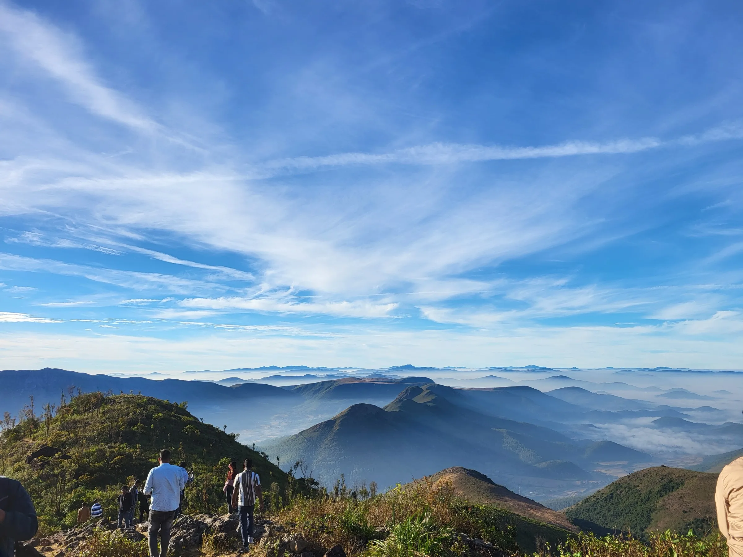
Gentle forest trails of 1.5 to 10 km at 340 to 780 m, but hot and humid for much of the year, and visitors must follow park rules and take a local guide.
About this trek
Kanger Valley
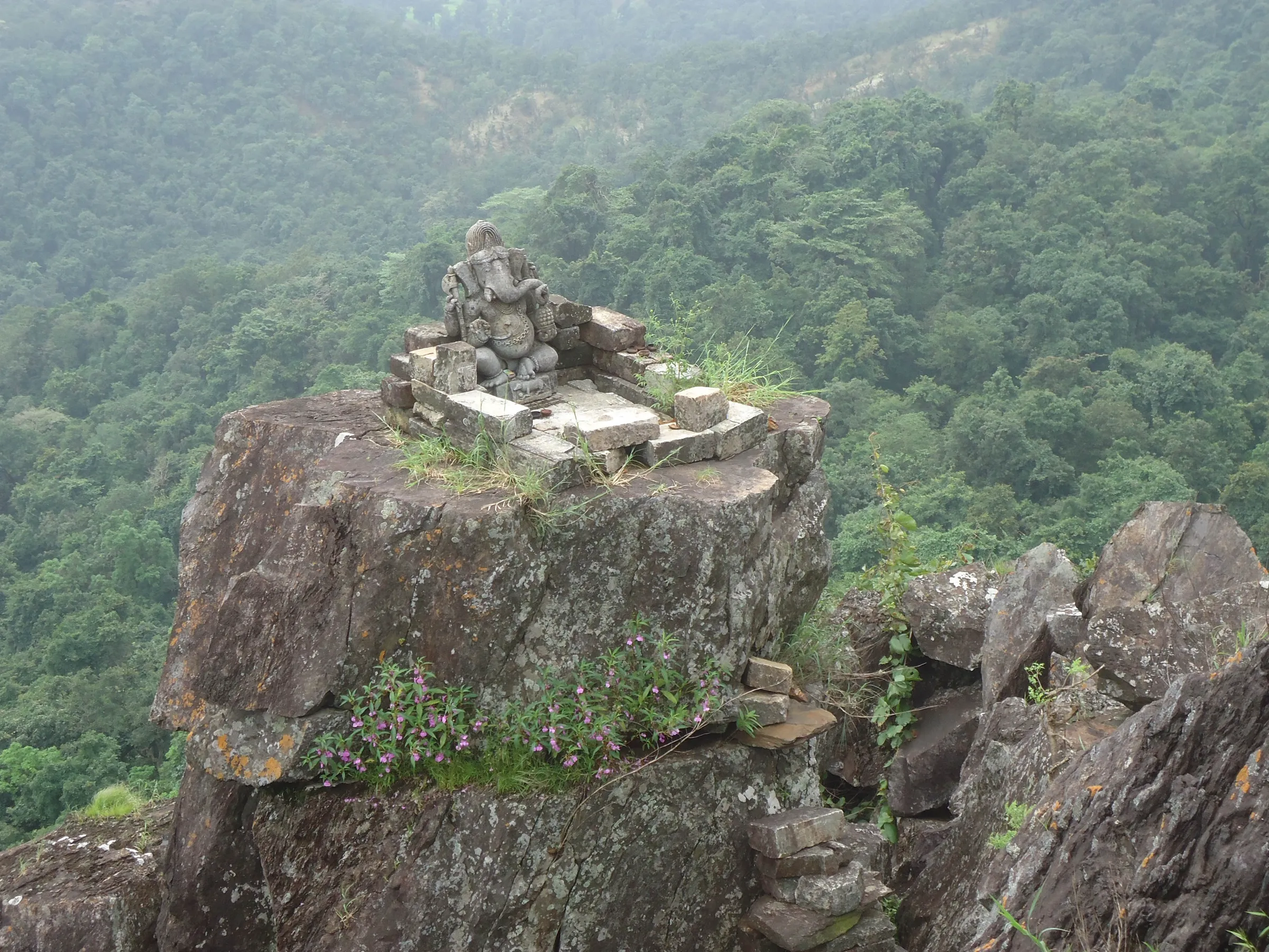
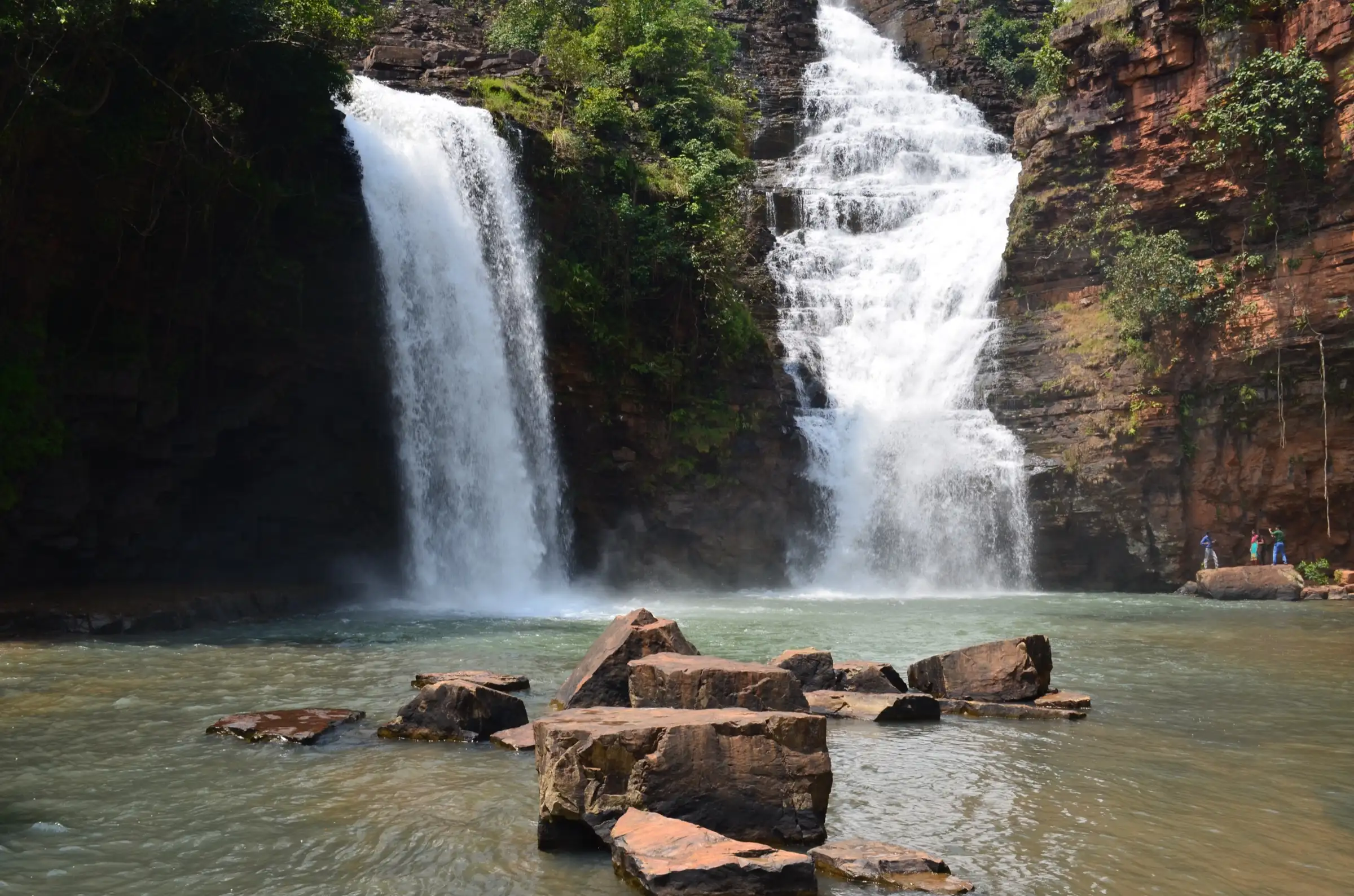
Kanger Valley National Park lies near Jagdalpur in Chhattisgarh's Bastar region. This short walk goes from the Kotamsar barrier to Kotumsar Cave, a limestone cave in dense forest whose main tunnel is nearly 200 m long and has a concrete path through it. Seepage pools in the cave hold a blind, albino cavefish. The cave is closed during the monsoon, and visitors should go with a registered local guide.
Photos
On the trail
The route
Day by day
Day 1 · highest point
Kotamsar Barrier → Kotumsar Cave and back (distance is the one-way trail figure)
340 m → 781 m → 340 m
- The park is hilly and densely forested; the cave is roughly 35 km from Jagdalpur and about 10 km from the park's main entrance.
- The cave entrance is a vertical fissure in a hillside; a concrete path runs from the entrance to the end of the main tunnel of nearly 200 m.
- Seepage-fed pools persist through the year and hold a blind cavefish; the cave floods and closes in the monsoon.
Ups and downs
Altitude profile
Where it is
Map
Trailhead and high point only — not a recorded track. Use it with a proper map.
Weather
Next 5 days on the trail
Live forecast for the trailhead and the high point. Mountain weather changes fast — check again on the morning you start.
Trailhead · Kotumsar (Kotamsar) Cave area
at 340 mLoading forecast…
High point · Kotumsar Cave (on route; the park's 781 m top is not mapped)
at 781 mLoading forecast…
Each day: high / low °C · rain mm and chance · snow cm · wind km/h
Weather data: Open-Meteo.comModel forecast, not an official warning. For alerts follow IMD and the local administration.
Plan the trip
How to reach
- Trailhead
- Kotumsar (Kotamsar) Cave area (nearest town: Jagdalpur)
- Nearest railway
- Jagdalpur (a passenger train from Visakhapatnam is described by Wikivoyage; check current timetable)
- Nearest airport
- Jagdalpur (Maa Danteshwari) Airport, flights from Raipur
- By road
- Jagdalpur (about 27 km, roughly one hour); Raipur (about 280 km, 5-6 hours)
- Drive
- About 6 h from Raipur
Plan the trip
Permits and fees
We could not confirm the current permit rules and fees from an official source. Check with the local forest department or tourism office before you go.
Plan the trip
Cost
Self-guided
₹800–2,500
With an operator
₹1,500–4,000
Per person, ex-Jagdalpur, one day. This is an estimate, not operator pricing: Roundglass Sustain reports an entry fee of Rs 25, a local guide at Rs 150 and a safari vehicle at Rs 1,500 for a group of six (Rs 1,100 for a solo vehicle). Taxi from Jagdalpur and a cave or waterfall guide add to this. We found no operator packages to compare, so confirm fees at the park gate.
Gear
Top picks for this trek
The gear that matters most on this route, chosen from its altitude, season and risks.
 Ad · affiliate link
 Ad · affiliate link
 Ad · affiliate link
- Ad · affiliate link
 Ad · affiliate link
 Ad · affiliate link
 Ad · affiliate link
 Ad · affiliate link
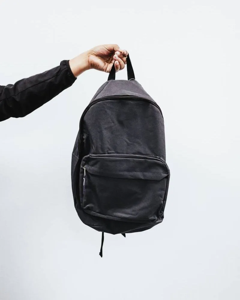
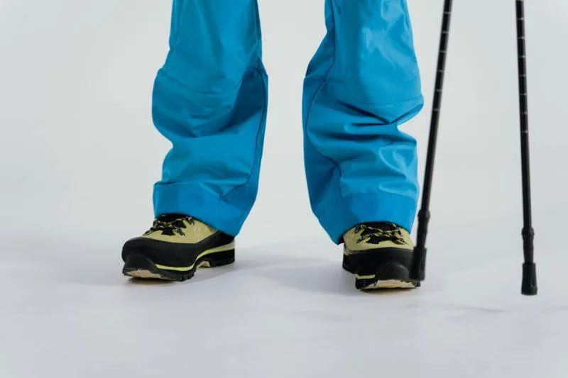
Store buttons open a search on that store, not a product we picked. As an Amazon Associate we earn from qualifying purchases. Photos show the kind of item, not a specific product. Affiliate disclosure
Packing checklist
Matched to this trek: altitude, season, days and the risks on the route.
Packed 0 of 16
Hot days in Mar: start at first light and carry extra water and ORS.
Tick each item as it goes in the bag.
Know before you go
Good to know
- Mobile network
- Not confirmed; expect patchy signal inside the park.
- Last ATM
- Jagdalpur
- Nearest hospital
- Jagdalpur
- Water
- Not confirmed. Carry your own water; the Kanger river runs through the park but treat any stream water.
Highlights
- Kotumsar Cave, about 35 m below ground with a main passage of roughly 200 m (Wikipedia gives up to 1,371 m including side passages), home to blind cave fish
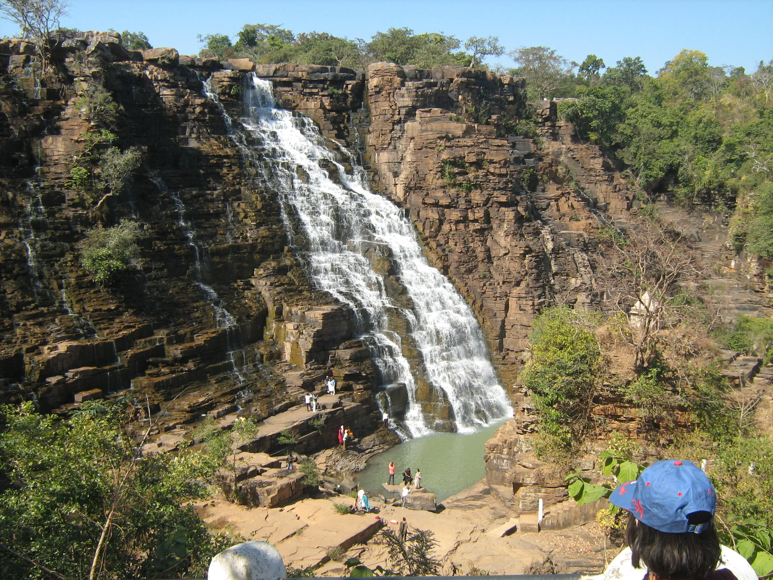
- Tirathgarh Falls, a multi-stream fall of 100 to 300 ft
- Forest trails along the Kanger river, one of Bastar's few perennial rivers
- Kailash Cave with its Shivlinga-shaped stalagmite
Risks
- Security (checked 26 Oct 2026): Bastar division has had Left-wing extremist activity. Wikipedia reports the Maoist insurgency down to about 3 affected districts by early 2026, but we found no current Bastar-specific official advisory and no order closing the park. Wikivoyage (undated) advises against visiting parks alone. Check local advice in Jagdalpur and go with a registered local guide.
- The park, and Kotumsar Cave in particular, closes in the monsoon (reported 15 June to 31 October by Wikipedia, July to September by Roundglass Sustain).
- April and May are extremely hot.
- Roads outside Jagdalpur are poor and frequently checked; do not travel after dark.
Know before you go
Questions
Is Kanger Valley National Park open during the monsoon?
Reportedly not. Roundglass Sustain says it is closed July to September, and Wikipedia says Kotumsar Cave is closed from 15 June to 31 October. Confirm with the forest office in Jagdalpur before travelling.
What is the best time to visit Kanger Valley?
November to March: winter (November to January) and early summer (February to March) are the comfortable months. April and May are extremely hot. Tirathgarh Falls look best from October to February.
How far is Kanger Valley from Jagdalpur?
About 27 km, roughly an hour by road. Raipur is about 280 km (5-6 hours); Jagdalpur has the nearest airport.
What are the trail lengths inside the park?
Wikipedia lists Kotamsar Barrier to Kotamsar Cave at 10 km, Tirathgarh Barrier to Tirathgarh Falls at 7 km, Netanar Barrier to Kailash Cave at 5 km, and shorter nature trails of 1.5 to 3 km.
Is it safe to visit Bastar?
The park is a regular tourist site near Jagdalpur, but the region has a history of Maoist conflict. We found no official order closing the park, but advise checking current local advice and using a local guide.
In an emergency
Save these numbers before you lose signal. Tap to call.
- 112All emergenciesIndia’s single emergency number — works in every state
- 108Ambulance
- 1077District disaster control room
You are in
District: BastarChhattisgarh
- Nearest hospital
- Jagdalpur
- Last ATM
- Jagdalpur
- Phone network
- Not confirmed; expect patchy signal inside the park.
Before you set off
- Tell someone your route and when you will be back.
- Carry a charged phone and a power bank.
- Download an offline map of the route.
- Turn back if the weather turns bad — the mountain will wait.
Questions about Kanger Valley
No questions yet. Ask something and trekkers who have done it can answer.
Share your trek photo with #TreksAndTrails
I trekked this
Did Kanger Valley look different from this page? Tell us what changed and we will check it.
Where this comes from
Sources
Last reviewed:
- Kanger Valley National Park — Wikipedia
- Kotumsar Cave — Wikipedia (Kotumsar Cave)
- Kanger Valley National Park guide — Roundglass Sustain
- Kanger Valley National Park — Vajiram and Ravi
- Jagdalpur — Wikivoyage
Photos: Pranabk, CC BY-SA 4.0; Arun Kumar Prasad, CC BY-SA 4.0; Harminder singh saini, CC BY-SA 4.0; Arun Kumar Prasad, CC BY-SA 4.0