Raghupur Fort Trek
Kullu, Himachal Pradesh
Opens without signal on this phone, with the map file and checklist. Saved for offline →
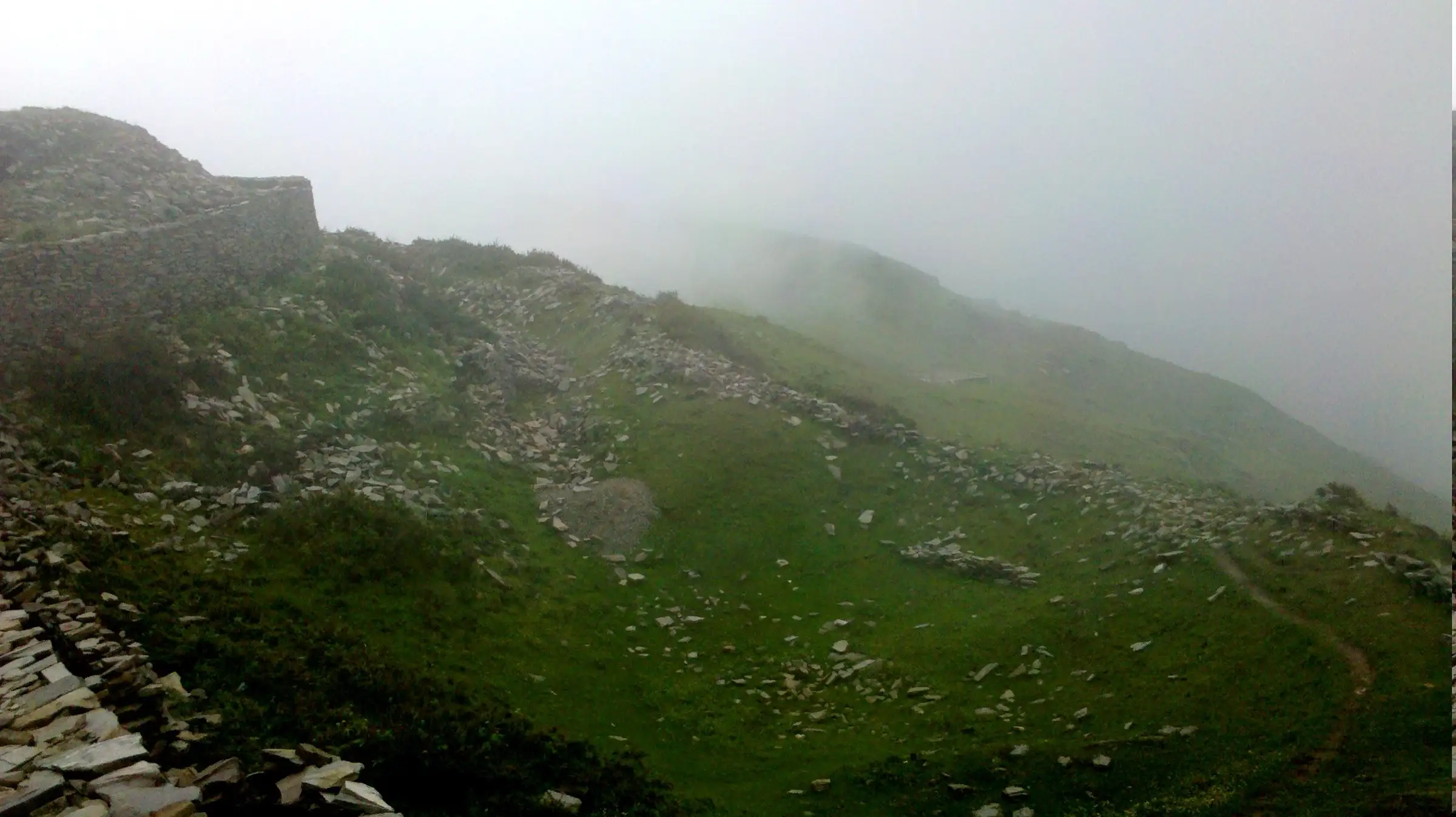
- Max altitude
- 3,300 m
- Days
- 1 day
- Distance
- 6 km
- Difficulty
- Moderate
A short day hike of about 3 km each way from the road at Jalori Pass, but the climb of roughly 170 m is steep in places and sits above 3,100 m; sources rate it anywhere from beginner to challenging.
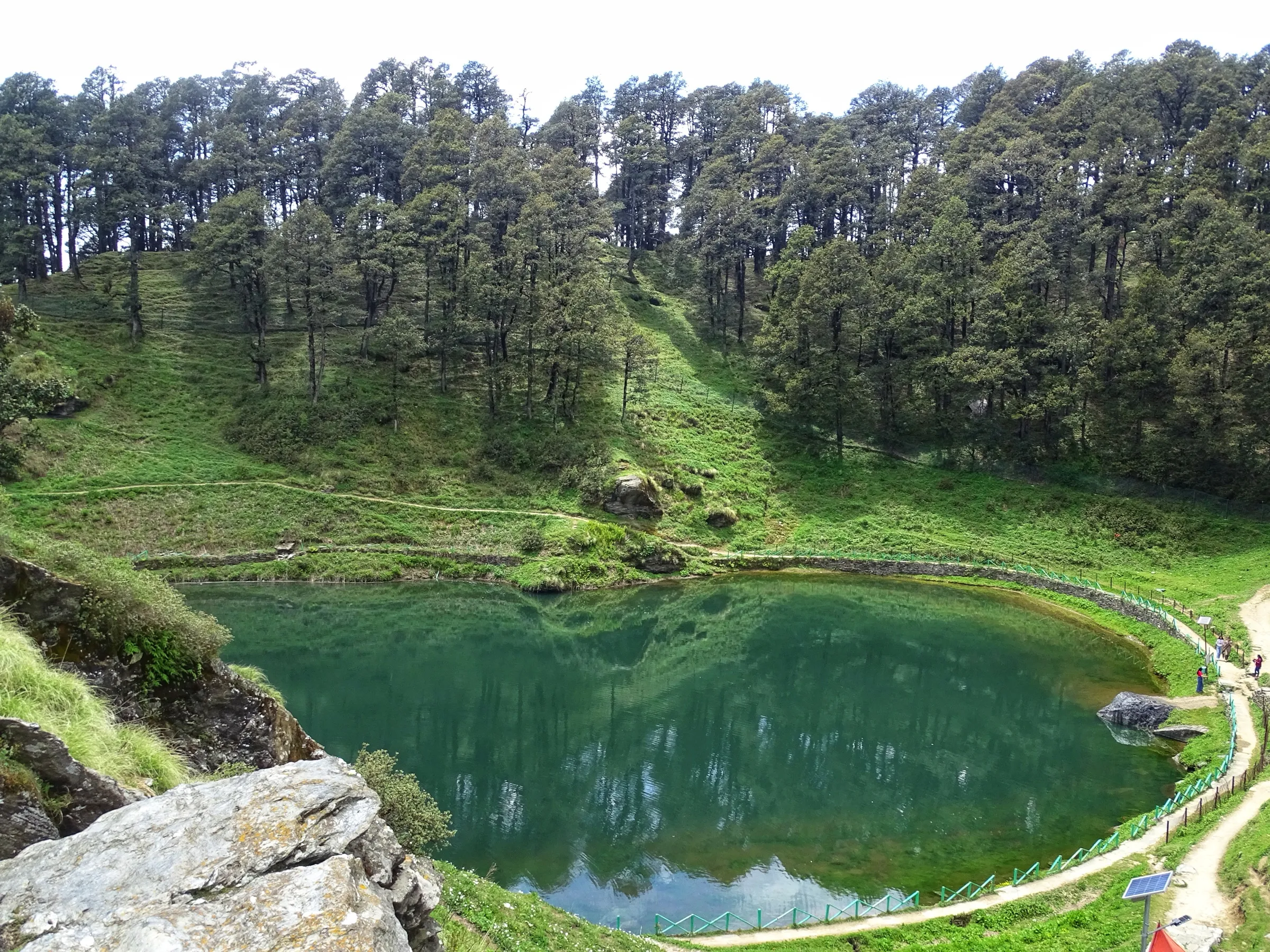
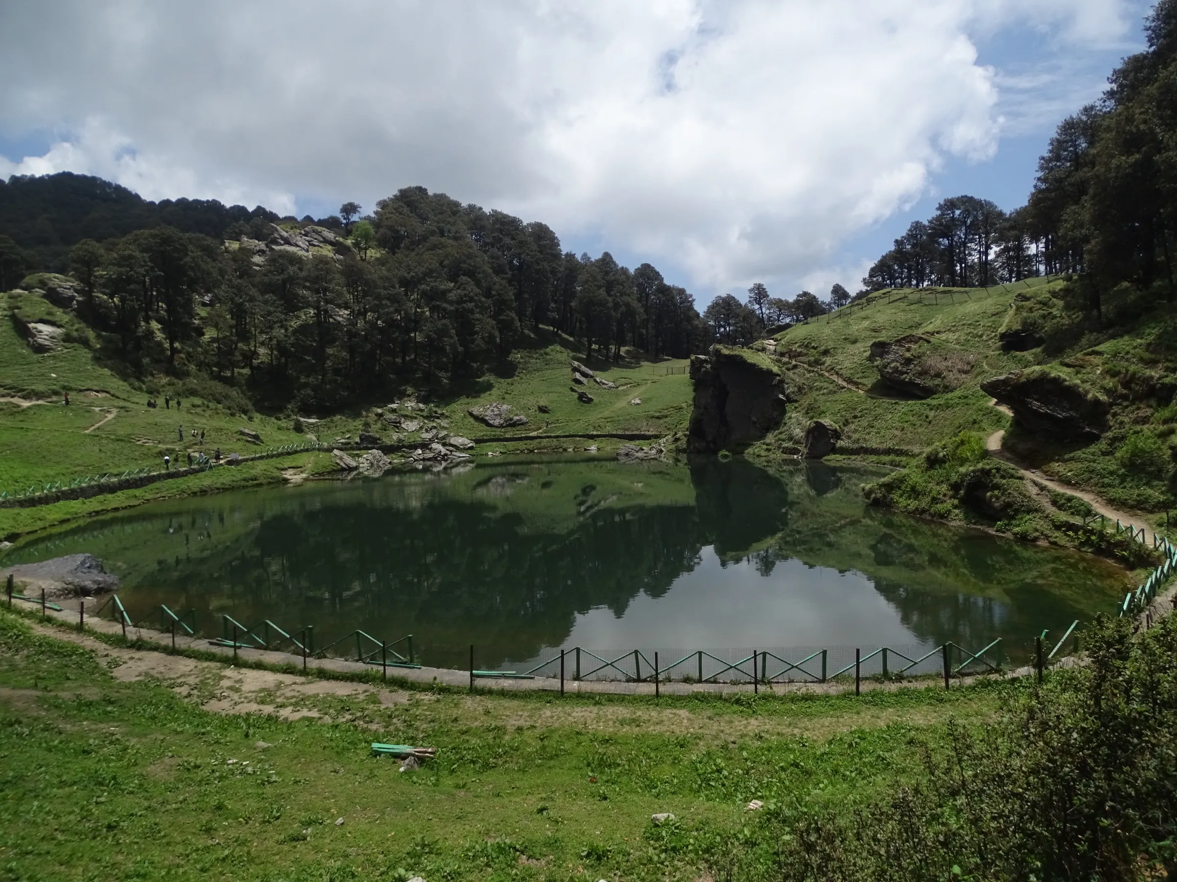
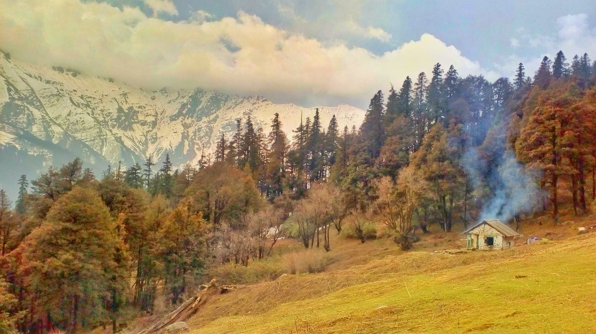
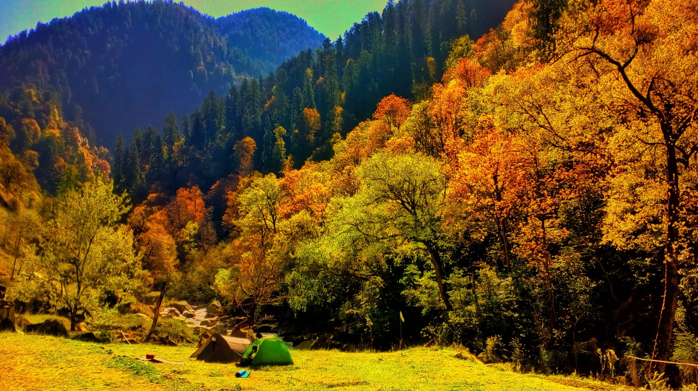
Photos
On the trail
The route
Day by day
Day 1 · highest point
Jalori Pass → Jalori Pass (via Raghupur Fort)
3,134 m → 3,300 m → 3,134 m
Ups and downs
Altitude profile
Where it is
Map
Trailhead and high point only — not a recorded track. Use it with a proper map.
Weather
Next 5 days on the trail
Live forecast for the trailhead and the high point. Mountain weather changes fast — check again on the morning you start.
Trailhead · Jalori Pass
at 3,134 mLoading forecast…
High point · Raghupur Garh (fort ruins)
at 3,300 mLoading forecast…
Each day: high / low °C · rain mm and chance · snow cm · wind km/h
Weather data: Open-Meteo.comModel forecast, not an official warning. For alerts follow IMD and the local administration.
Plan the trip
How to reach
- Trailhead
- Jalori Pass (nearest town: Jibhi)
- Nearest railway
- Joginder Nagar (narrow gauge); Chandigarh for broad-gauge trains
- Nearest airport
- Bhuntar Airport (Kullu)
- By road
- Jibhi (about 12 km up NH-305 to Jalori Pass); Kullu (about 75 km via Aut, Banjar and Jibhi); Shimla (about 150 km via Narkanda and Ani); Delhi (about 500 km; overnight bus to Aut or Banjar)
- Drive
- About 13 h from Delhi
Plan the trip
Permits and fees
We could not confirm the current permit rules and fees from an official source. Check with the local forest department or tourism office before you go.
Plan the trip
Cost
Self-guided
₹300–1,500
With an operator
₹2,500–6,500
Per person. Guided prices seen October 2026: Himalaya Shelter sells a guided day hike from its Jalori base camp to Raghupur Fort or Serolsar Lake at ₹2,500 + GST (ex-Jalori Pass); Treks and Trails India (treksandtrails.org) lists a 5-day Tirthan camping trek that includes Raghupur Fort at ₹6,500 (ex-Aut). Self-guided is our estimate, ex-Jibhi: a shared or hired taxi up to Jalori Pass and back, plus tea and snacks at the pass; add a local guide if you want one.
Gear
Top picks for this trek
The gear that matters most on this route, chosen from its altitude, season and risks.
 Ad · affiliate link
 Ad · affiliate link
 Ad · affiliate link
 Ad · affiliate link
 Ad · affiliate link
 Ad · affiliate link
 Ad · affiliate link
- Ad · affiliate link
Store buttons open a search on that store, not a product we picked. As an Amazon Associate we earn from qualifying purchases. Photos show the kind of item, not a specific product. Affiliate disclosure
Packing checklist
Matched to this trek: altitude, season, days and the risks on the route.
Packed 0 of 27
Nights near 3,300 m can drop close to freezing even in summer. Pack one more warm layer than you think.
Tick each item as it goes in the bag.
Know before you go
Good to know
- Mobile network
- Not confirmed by our sources for the fort itself; expect patchy signal on the ridge and check at Jalori Pass.
- Last ATM
- Jibhi, about 12 km below Jalori Pass (Banjar has more ATMs)
- Nearest hospital
- Sub Health Centre Jibhi for first care; Civil Hospital Banjar and Kullu for serious cases
- Water
- No reliable water source on the trail is reported. Carry at least 1.5–2 litres from Jalori Pass, where tea stalls sell bottled water.
Highlights
- Stone ruins of Raghupur Garh on a grassy ridge-top above Jalori Pass; operators say it was built by the Mandi rulers (one source says Kullu) as a watch post
- Trail through oak and rhododendron forest that opens into high meadows
- 360-degree views over Tirthan Valley, the Dhauladhar and, on clear days, snow peaks of the Pir Panjal
- Easy to pair with Serolsar Lake, the other day hike from Jalori Pass
Risks
- Jalori Pass (NH-305) is often blocked by snow from about late December to early March; vehicles may stop well below the pass. TravelTriangle does not recommend the fort in winter because of snow on the trail.
- July–September monsoon brings landslides on the roads to the pass and thick fog on the ridge; the open meadow at the top is easy to lose your way on in fog.
- The last section is steep and grassy; it is slippery when wet or icy.
- Altitude above 3,100 m: walk slowly if you have driven straight up from Jibhi.
- Camping at the fort is offered by operators; ask the Forest Department or the camp operator about current camping rules before pitching a tent.
Know before you go
Questions
How long is the Raghupur Fort trek?
The trail starts at Jalori Pass and is about 3 km each way, roughly 6 km round trip. Trekkers report about 1.5 to 2 hours up and about an hour down; The Hosteller puts the full hike at about 3 hours.
What is the height of Raghupur Fort?
About 3,300 m. The Hosteller gives 3,300 m and Thrillophilia about 10,800 ft (around 3,290 m), and satellite terrain data at the fort reads 3,300 m. Jalori Pass, where the walk starts, is at about 3,130 m.
Is the Raghupur Fort trek difficult?
It is short, but not flat. Sources range from beginner (The Hosteller) and moderate (Thrillophilia, Treks and Trails India) to challenging (TravelTriangle) because the slopes are steep. A reasonably fit beginner can do it in good weather.
What is the best time to visit Raghupur Fort?
April to June and October to November are the usual recommendations (Himalayan Eco Tourism, TravelTriangle). In winter the road to Jalori Pass is often snow-blocked; avoid the July–September monsoon for landslides and fog.
Can you camp at Raghupur Fort?
Yes, operators run camps on the meadows near the fort, and Treks and Trails India's multi-day itinerary stays a night there. Book with an operator in advance and check local Forest Department rules.
Do I need a permit for the Raghupur Fort trek?
None of our sources mentions a separate permit or entry fee for the fort. Rules can change, so check locally in Jibhi or Banjar before you go.
In an emergency
Save these numbers before you lose signal. Tap to call.
- 112All emergenciesIndia’s single emergency number — works in every state
- 108Ambulance
- 1077District disaster control room
You are in
District: KulluHimachal Pradesh
- Nearest hospital
- Sub Health Centre Jibhi for first care; Civil Hospital Banjar and Kullu for serious cases
- Last ATM
- Jibhi, about 12 km below Jalori Pass (Banjar has more ATMs)
- Phone network
- Not confirmed by our sources for the fort itself; expect patchy signal on the ridge and check at Jalori Pass.
Before you set off
- Tell someone your route and when you will be back.
- Carry a charged phone and a power bank.
- Download an offline map of the route.
- Turn back if the weather turns bad — the mountain will wait.
Questions about Raghupur Fort
No questions yet. Ask something and trekkers who have done it can answer.
Share your trek photo with #TreksAndTrails
I trekked this
Did Raghupur Fort look different from this page? Tell us what changed and we will check it.
Where this comes from
Sources
Last reviewed:
- Raghupur Fort Trek — Treks and Trails India (treksandtrails.org)
- 8 Rejuvenating hikes around Jibhi — The Hosteller
- Raghupur Fort, Jibhi: How To Reach, Best Time & Tips — Thrillophilia
- Jalori Pass Trek Himachal | Himalayan Eco Travel Tours — Himalayan Eco Tourism
- Jalori Pass Trek — Himalaya Shelter
- The Raghupur Fort Is A Heaven For History Buffs — TravelTriangle
- iQOO 12 Meets the Himalayas: A Trek to Raghupur Fort — iQOO Community (trip report)
Photos: Nathan Pratyksh Khanna, CC BY-SA 3.0; Gannu03, CC BY-SA 4.0; Nathan Pratyksh Khanna, CC BY-SA 3.0