Shikari Devi Trek
Mandi, Himachal Pradesh
Opens without signal on this phone, with the map file and checklist. Saved for offline →
- Max altitude
- 3,359 m
- Days
- 2 days
- Distance
- 32 km
- Difficulty
- Moderate
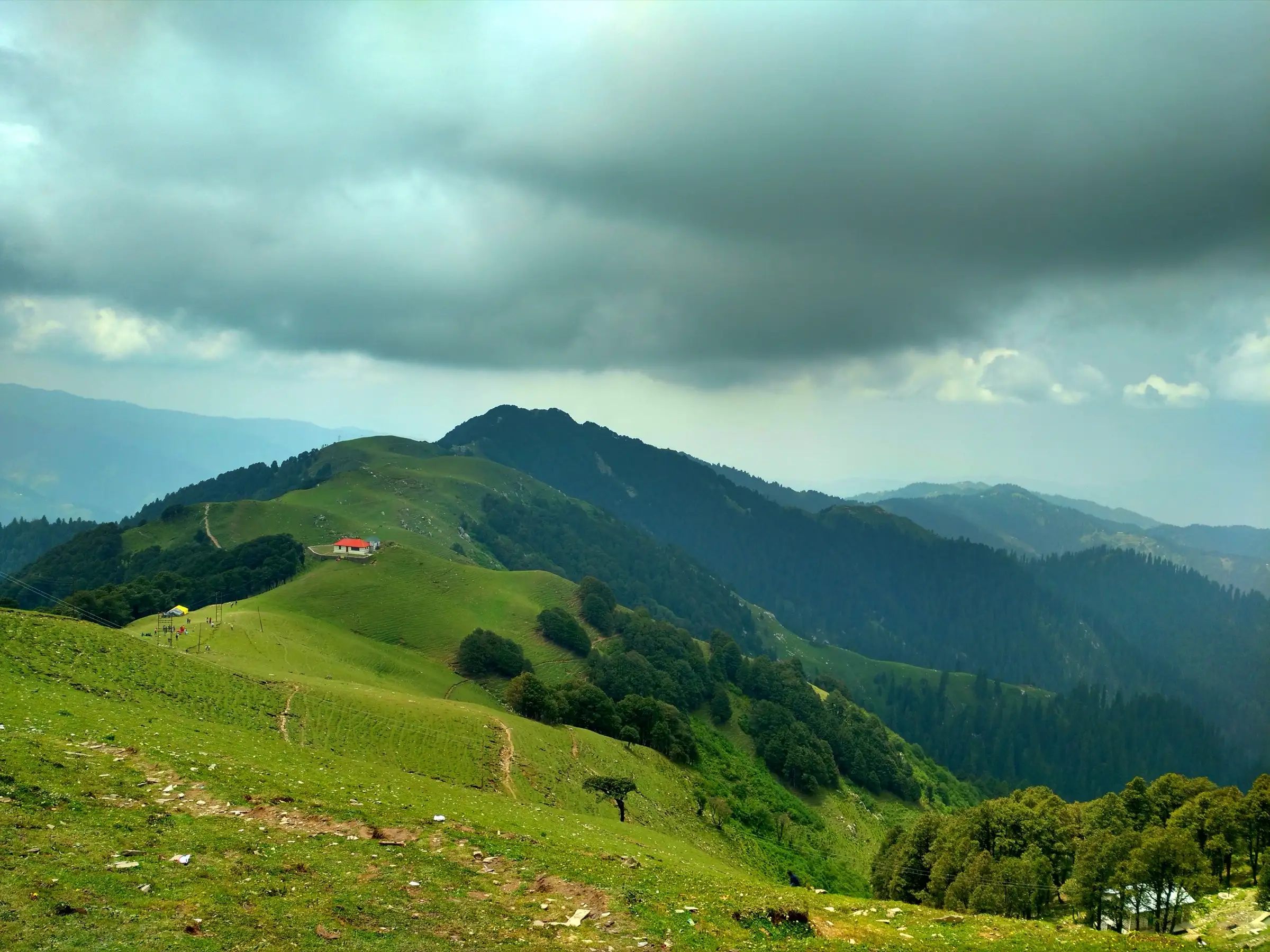
A non-technical forest trail, but day one gains about 1,100-1,200 m over roughly 16 km, ends with a steep climb of several hundred steps to the temple, and the forest section has many side paths where walkers lose the way.
Photos
On the trail
The route
Day by day
Day 1 · highest point
Janjehli → Shikari Mata Temple (via Bhulah and Budha Kedar)
2,150 m → 3,359 m → 3,300 m
Day 2
Shikari Mata Temple → Janjehli
3,300 m → 2,150 m
Ups and downs
Altitude profile
Where it is
Map
Trailhead and high point only — not a recorded track. Use it with a proper map.
Weather
Next 5 days on the trail
Live forecast for the trailhead and the high point. Mountain weather changes fast — check again on the morning you start.
Trailhead · Janjehli
at 2,150 mLoading forecast…
High point · Shikari Mata Temple, Shikari Devi peak
at 3,359 mLoading forecast…
Each day: high / low °C · rain mm and chance · snow cm · wind km/h
Weather data: Open-Meteo.comModel forecast, not an official warning. For alerts follow IMD and the local administration.
Plan the trip
How to reach
- Trailhead
- Janjehli
- Nearest railway
- Joginder Nagar (narrow gauge, about 152 km); Kiratpur Sahib or Chandigarh for broad gauge
- Nearest airport
- Kullu-Manali Airport, Bhuntar (about 118 km)
- By road
- Mandi (about 75-80 km via Nerchowk/Chail Chowk and Thunag, 3-3.5 hours on winding hill roads)
- Drive
- About 3.5 h from Mandi
Plan the trip
Permits and fees
We could not confirm the current permit rules and fees from an official source. Check with the local forest department or tourism office before you go.
Plan the trip
Cost
Self-guided
₹2,500–5,000
With an operator
₹4,000–8,000
Per person, ex-Janjehli. Estimate only: we found no trek operator publishing a current price for this route (October 2026). Self-guided covers a night in Janjehli, a bed at the temple sarai or forest hut, food and a shared taxi back if you do not walk down. Guided assumes a local guide from Janjehli (advised because the forest trail is easy to lose) split across a small group. Check prices locally.
Gear
Top picks for this trek
The gear that matters most on this route, chosen from its altitude, season and risks.
 Ad · affiliate link
 Ad · affiliate link
 Ad · affiliate link
 Ad · affiliate link
 Ad · affiliate link
 Ad · affiliate link
 Ad · affiliate link
- Ad · affiliate link
Store buttons open a search on that store, not a product we picked. As an Amazon Associate we earn from qualifying purchases. Photos show the kind of item, not a specific product. Affiliate disclosure
Packing checklist
Matched to this trek: altitude, season, days and the risks on the route.
Packed 0 of 32
Nights near 3,359 m can drop close to freezing even in summer. Pack one more warm layer than you think.
Tick each item as it goes in the bag.
Know before you go
Good to know
- Mobile network
- Not confirmed by our sources; expect patchy or no signal on the forest section between Janjehli and the temple.
- Last ATM
- Not confirmed; carry enough cash from Mandi or Thunag before reaching Janjehli.
- Nearest hospital
- Civil Hospital Janjehli for first care; Zonal Hospital Mandi for serious cases
- Water
- Few: a stream near the Budha Kedar cave on the forest route and almost no shops between Janjehli and the temple, so carry water and food from Janjehli. Boil or treat stream water.
Highlights
- Darshan of Shikari Mata, Maa Durga as the Devi of the hunters, in a roofless temple on the highest point of Mandi district; snow that buries the ridge does not settle inside the temple
- The katha that the Pandavas worshipped Shikari Devi here during their vanvas, and that Rishi Markandeya did tapasya on this peak
- The Budha Kedar cave temple beside a stream on the forest route from Janjehli
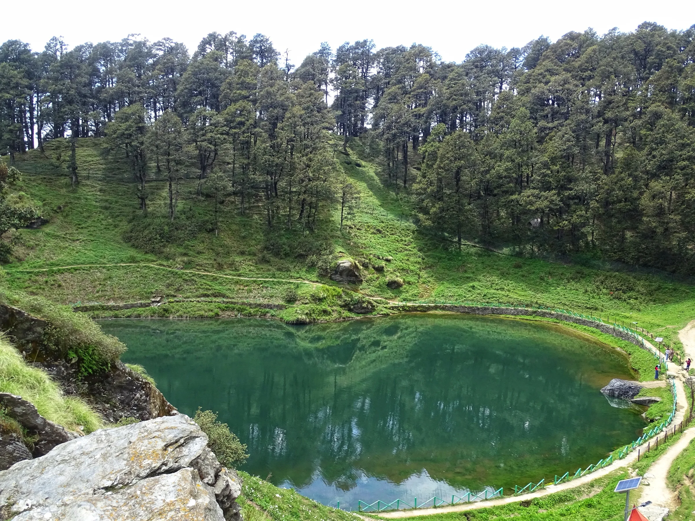
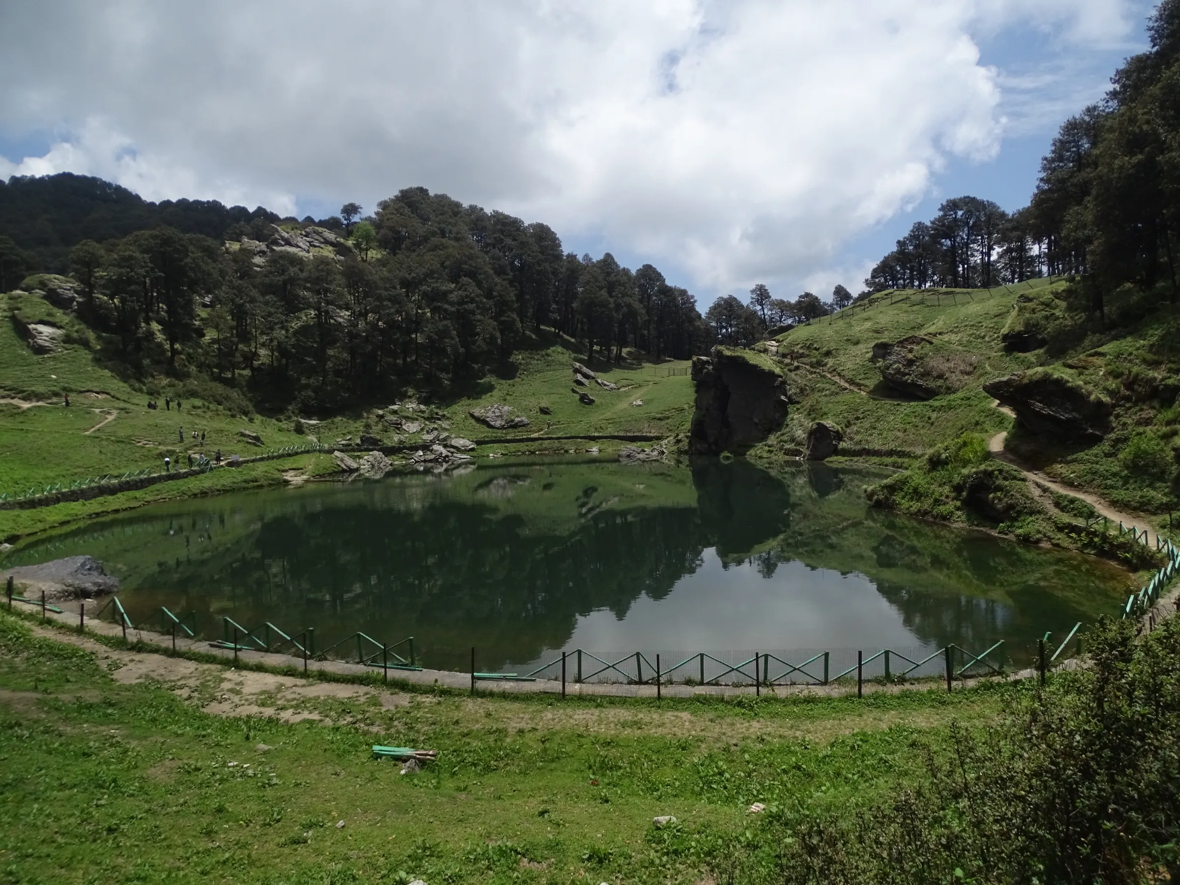
- Deodar, blue pine and oak forest of the Shikari Devi Wildlife Sanctuary, opening into ridge-top meadows
- A 360° view from the temple over the Seraj and Karsog valleys and the snow ranges beyond
Risks
- Winter closure: the Thunag administration closes the temple and bans trekking to the Shikari Devi hills from about mid-November to March every year because of heavy snow; do not attempt the trek then.
- The forest route via Budha Kedar has many side paths; trekkers have been lost on it, and locals advise a guide. Bears live in this forest, so do not walk after dark.
- The last stretch is a steep climb of several hundred stairs; take care on the descent, especially when wet.
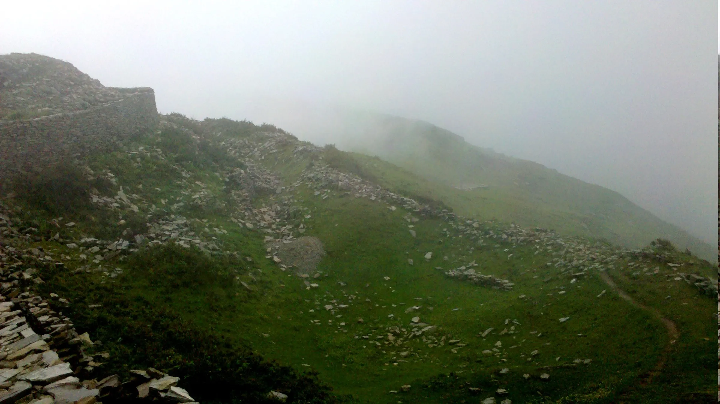
- In the monsoon (July-August) thick mist hides the views and the trail and the jeep road become slippery; the road above Janjehli is rough after rain.
- Temple fair crowds during the Navratris; plan stays in advance.
Know before you go
Questions
Is there a road to Shikari Devi temple, so why trek?
Yes. A jeepable forest road runs about 18 km from Janjehli (and another from Sanarli near Karsog) to a parking area below the temple, from where 600-700 stairs lead to the top. The trek is the separate 16 km forest trail from Janjehli via Bhulah and the Budha Kedar cave that the Himachal Ecotourism Society and the state trekking portal list.
When is Shikari Devi temple closed?
Every winter. The Thunag administration closes the temple and bans trekking to the hills from about mid-November (15 November in 2022, 20 November in 2023) because of snow. It reopens around March or Chaitra Navratri once the PWD clears the road; in 2025 the doors opened at the end of March.
How long is the trek from Janjehli and how many days does it take?
About 15-16 km one way, 5-6 hours up through forest, with about 1,100 m of climb. The state trekking portal lists it as a 2-day trek: walk up on day one, stay near the temple, and return to Janjehli on day two.
Where can I stay near Shikari Devi temple?
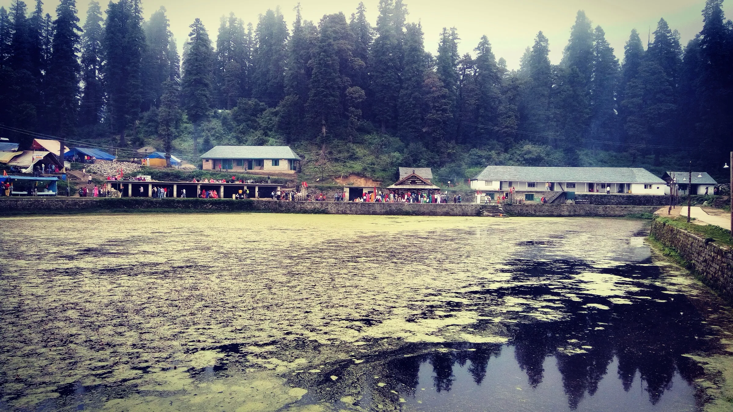
There is a sarai just below the temple and a two-room forest trekkers' hut about 15 minutes below it (booked through the DFO); temple authorities also arrange basic beds for pilgrims. Janjehli has a Forest Rest House and a few homestays and guesthouses.
What is the altitude of Shikari Devi temple?
The Mandi district administration and the Himachal trekking portal give 3,359 m; other sources say 3,282-3,333 m. It is the highest point of Mandi district.
In an emergency
Save these numbers before you lose signal. Tap to call.
- 112All emergenciesIndia’s single emergency number — works in every state
- 108Ambulance
- 1077District disaster control room
You are in
District: MandiHimachal Pradesh
- Nearest hospital
- Civil Hospital Janjehli for first care; Zonal Hospital Mandi for serious cases
- Last ATM
- Not confirmed; carry enough cash from Mandi or Thunag before reaching Janjehli.
- Phone network
- Not confirmed by our sources; expect patchy or no signal on the forest section between Janjehli and the temple.
Before you set off
- Tell someone your route and when you will be back.
- Carry a charged phone and a power bank.
- Download an offline map of the route.
- Turn back if the weather turns bad — the mountain will wait.
Questions about Shikari Devi
No questions yet. Ask something and trekkers who have done it can answer.
Share your trek photo with #TreksAndTrails
I trekked this
Did Shikari Devi look different from this page? Tell us what changed and we will check it.
Where this comes from
Sources
Last reviewed:
- Janjehli to Shikari via Budha Kedar — Trekking Management System (archived 2 Aug 2022; live page timed out) — Government of Himachal Pradesh (Trekking Management System) (official)
- Janjehli to Shikari Mata bia Bhulah & Budha Kedar (archived 20 Apr 2024; live page unreachable) — Ecotourism Society of Himachal Pradesh (official)
- Janjehli - Shikari Devi Temple — District Mandi, Government of Himachal Pradesh (official)
- Shikari Devi Temple — Wikipedia
- Shikari Devi Trek Difficulty and Janjehli Trail — TrekGo
- Through the ancient hunting grounds — ixigo
- Trek to Shikari Devi, The Hunter Goddess — Ghumakkar
- Shikari Mata temple closed from today (14 Nov 2022) — The Tribune
- Trekking to Mandi's Shikari Devi temple hills banned (27 Nov 2023) — The Tribune
- Road to Shikari Devi temple restored (31 Mar 2025) — The Tribune
Photos: Prateek0007, CC BY-SA 4.0; Sunil Sharma, CC BY-SA 4.0; Sunil Sharma, CC BY-SA 4.0