Tirath Trek
Kullu, Himachal Pradesh
Opens without signal on this phone, with the map file and checklist. Saved for offline →
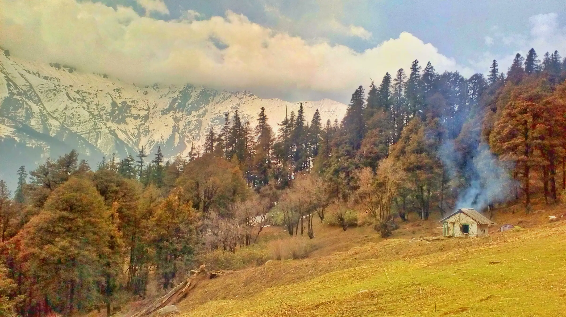
- Max altitude
- 4,000 m
- Satellite terrain suggests about 3,700 m
- Days
- 7 days
- Distance
- 76 km
- Difficulty
- Difficult
Seven long days inside the Great Himalayan National Park: a steep 1,000 m forest climb from Chalocha to Nada Thach, a poorly maintained, landslide-hit trail down to the river and on to Majhoni, many stream crossings, thick bushes and narrow sections close to the river. GHNP grades it moderate to strenuous; there are no villages or huts to fall back on after Rolla.
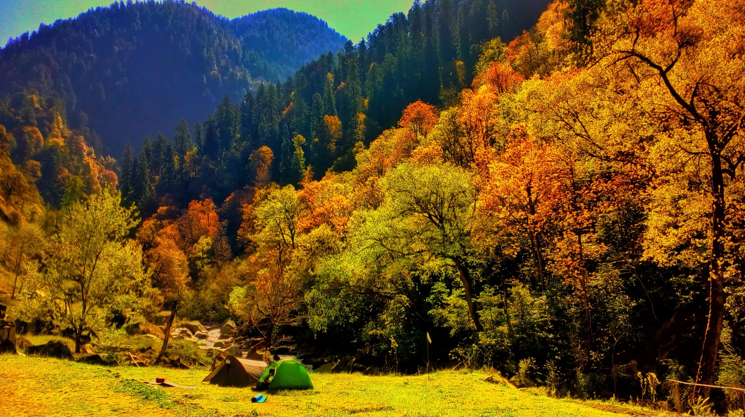
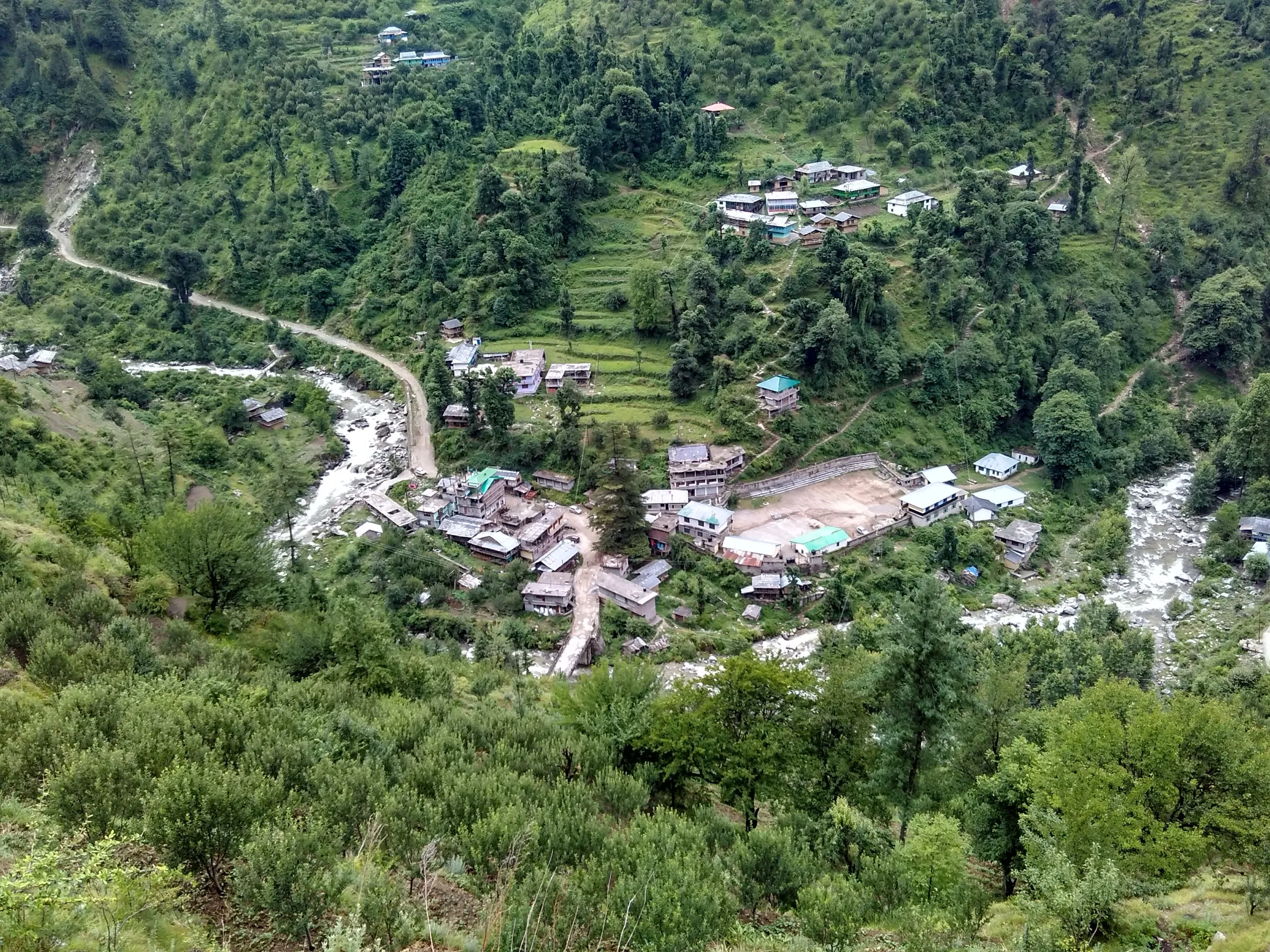
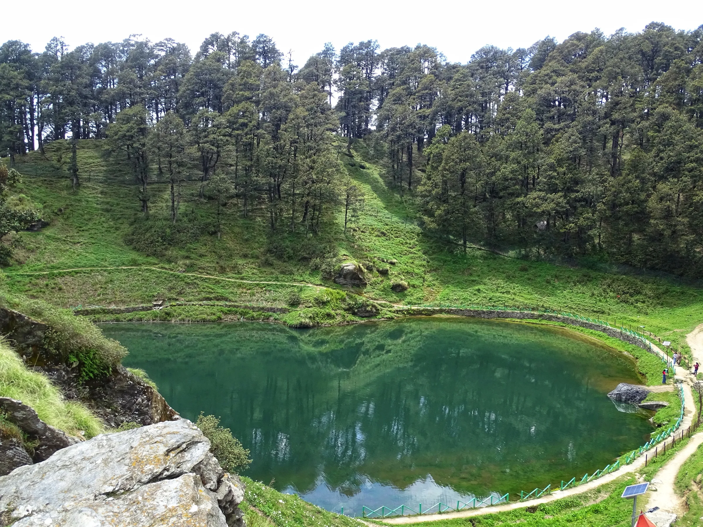
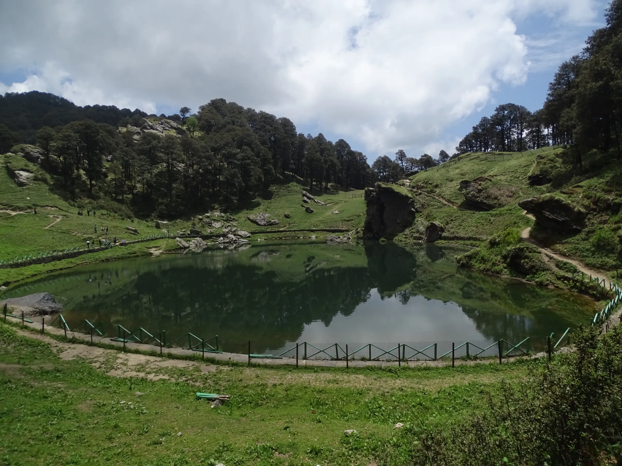
Photos
On the trail
The route
Day by day
Day 1
Gushaini (drive from Aut via Banjar) → Rolla
1,500 m → 2,100 m
Day 2
Rolla → Nada Thach (via Chalocha)
2,100 m → 3,300 m
Day 3
Nada Thach → Majhoni
3,300 m → 3,300 m
Day 4 · highest point
Majhoni → Majhoni (via Tirath and back)
3,300 m → 4,000 m → 3,300 m
Day 5
Majhoni → Nada Thach
3,300 m → 3,300 m
Day 6
Nada Thach → Rolla
3,300 m → 2,100 m
Day 7
Rolla → Gushaini
2,100 m → 1,500 m
Ups and downs
Altitude profile
Where it is
Map
Trailhead and high point only — not a recorded track. Use it with a proper map.
Weather
Next 5 days on the trail
Live forecast for the trailhead and the high point. Mountain weather changes fast — check again on the morning you start.
Trailhead · Gushaini
at 1,500 mLoading forecast…
High point · Tirath, source of the Tirthan river (Tirath camp)
at 4,000 mLoading forecast…
Each day: high / low °C · rain mm and chance · snow cm · wind km/h
Weather data: Open-Meteo.comModel forecast, not an official warning. For alerts follow IMD and the local administration.
Plan the trip
How to reach
- Trailhead
- Gushaini (nearest town: Gushaini (Banjar for banks and shops))
- Nearest railway
- Joginder Nagar (narrow gauge, few trains); Chandigarh or Ambala for broad gauge
- Nearest airport
- Kullu-Manali Airport, Bhuntar
- By road
- Aut on the Chandigarh-Manali highway (about 1-1.5 hours to Gushaini by taxi or local bus via Banjar); Delhi (overnight Volvo bus to Aut; Gushaini is about 550 km from Delhi)
- Drive
- About 8 h from Chandigarh
Plan the trip
Permits and fees
We could not confirm the current permit rules and fees from an official source. Check with the local forest department or tourism office before you go.
Plan the trip
Cost
Self-guided
₹12,000–25,000
With an operator
₹15,000–21,000
Per person, ex-Gushaini/Aut. Guided prices seen October 2026: Himalaya Shelter ₹15,000 per person for its 5-day Gushaini-Mashyar-Tirath loop; a 10-day 'Up to the origin of river Tirth' package on TourTravelWorld at ₹21,000 including tax (starts Jibhi, ex-Chandigarh listing). A Tripoto report quotes about ₹6,000 Banjar to Banjar from local organisers, but it is undated and likely out of date. Self-guided is an estimate: GHNP rules require multi-day trekkers to hire certified guides and porters, so it means paying a local guide and porters for 7 days, the park permit and camping charges, rations and tent hire; the per-person cost falls with group size.
Gear
Top picks for this trek
The gear that matters most on this route, chosen from its altitude, season and risks.
 Ad · affiliate link
 Ad · affiliate link
 Ad · affiliate link
 Ad · affiliate link
 Ad · affiliate link
 Ad · affiliate link
 Ad · affiliate link
 Ad · affiliate link
Store buttons open a search on that store, not a product we picked. As an Amazon Associate we earn from qualifying purchases. Photos show the kind of item, not a specific product. Affiliate disclosure
Packing checklist
Matched to this trek: altitude, season, days and the risks on the route.
Packed 0 of 35
Nights near 4,000 m can drop close to freezing even in summer. Pack one more warm layer than you think.
Tick each item as it goes in the bag.
Know before you go
Good to know
- Mobile network
- Signal fades after Gushaini; expect no mobile coverage from Rolla onwards.
- Last ATM
- Banjar, about 10 km before Gushaini; Indiahikes advises carrying enough cash from the city.
- Nearest hospital
- Health facilities at Banjar; Regional Hospital Kullu for anything serious, several hours from the trail.
- Water
- The Tirthan river and many side streams run beside most of the route; Indiahikes notes few water points on the Mashyar-Asurbag variant above Bedi Thach. Boil or treat all water.
Highlights
- Following the Tirthan river through the Great Himalayan National Park, a UNESCO World Heritage Site, to its source at Tirath, a place held sacred by the people of the valley
- Nada Thach, a large high meadow above the river that is good for bird watching, with the option of a day hike to Kobri top
- Chances of seeing Himalayan tahr, blue sheep, ibex, black bear and pheasants such as the Western Tragopan and Himalayan Monal
- Optional climb from Tirath to the Saketi meadow (about 4,300 m), ringed by glaciated peaks, as done on the Himalayan Ecotourism and Indiahikes itineraries
Risks
- Entry to GHNP needs a permit from the park (head office at Shamshi or the Shairopa range office about 5 km before Gushaini); routes must be approved by a range officer and multi-day trekkers must take certified guides and porters. The fee schedule on the park website dates from 2020, so confirm current fees at Shairopa.
- In 2025 and 2026 the Chief Wildlife Warden closed the Rolla-Shilt-Chhodwar-Rakhundi to Ghumtaro area of GHNP to trekkers from 1 to 31 May for Western Tragopan breeding. The Tirath trail passes Rolla, so ask at Shairopa whether a May order affects your route.
- The trail between Nada Thach and Majhoni suffers landslides every year and is poorly maintained; the riverside shortcut between Shankha and Chalocha is narrow and exposed, with rock traverses close to the river.
- Many stream crossings, which get harder later in the day and after rain.
- Black bears live in these forests; keep food sealed, make noise in thick bush and do not walk alone.
- Monsoon (mid-July to early September) brings landslides, heavy rain and leeches; Himalayan Ecotourism advises against trekking then and marks December to February and August as months to avoid. Snow lies in the upper valley until about May and can return from November.
- Altitude above 3,500 m from Majhoni onwards; the trail is easy to lose in the forest and meadows, so go with a guide who knows the route.
Know before you go
Questions
Where does the Tirath trek go?
It follows the Tirthan river upstream from Gushaini through the Great Himalayan National Park to Tirath, the river's source, where the official GHNP itinerary describes a glacial lake held sacred by local people. The GHNP route is Gushaini - Rolla - Nada Thach - Majhoni - Tirath and back the same way, 7 days and about 76 km.
How long is the Tirath trek and how hard is it?
GHNP lists 7 days and 76 km, graded moderate to strenuous. Operators run it in 6 to 8 days; Indiahikes documents a faster 6-day loop for experienced trekkers and advises less experienced trekkers to take 8-9 days. It suits trekkers with prior Himalayan experience.
What is the best time for the Tirath trek?
Himalayan Ecotourism recommends mid-May to June and mid-September to early November. Avoid mid-July to early September for monsoon landslides, and winter, when the upper valley is under snow.
Do I need a permit and a guide?
Yes. Entry to GHNP is by permit from the park office at Shamshi or the Shairopa range office before Gushaini, and GHNP rules say multi-day trekkers must engage certified guides and porters. The fee schedule online is from 2020, so check the current fee at Shairopa.
How high does the trek go?
GHNP gives Tirath as 4,000 m. Indiahikes and Himalayan Ecotourism put the Tirath camp at about 3,700 m, which matches satellite terrain, and both add an optional climb to the Saketi meadow at about 4,300 m.
In an emergency
Save these numbers before you lose signal. Tap to call.
- 112All emergenciesIndia’s single emergency number — works in every state
- 108Ambulance
- 1077District disaster control room
You are in
District: KulluHimachal Pradesh
- Nearest hospital
- Health facilities at Banjar; Regional Hospital Kullu for anything serious, several hours from the trail.
- Last ATM
- Banjar, about 10 km before Gushaini; Indiahikes advises carrying enough cash from the city.
- Phone network
- Signal fades after Gushaini; expect no mobile coverage from Rolla onwards.
Before you set off
- Tell someone your route and when you will be back.
- Carry a charged phone and a power bank.
- Download an offline map of the route.
- Turn back if the weather turns bad — the mountain will wait.
Questions about Tirath
No questions yet. Ask something and trekkers who have done it can answer.
Share your trek photo with #TreksAndTrails
I trekked this
Did Tirath look different from this page? Tell us what changed and we will check it.
Where this comes from
Sources
Last reviewed:
- Tirthan valley – Tirath trek — Great Himalayan National Park (HP Forest Department) (official)
- Fees, Rules and Guidelines — Great Himalayan National Park (HP Forest Department) (official)
- Closing some selected areas of GHNP for Tourists/ Trekkers/ Visitors-approval thereof (order signed 7 Apr 2026) — Great Himalayan National Park (HP Forest Department) (official)
- The Complete Guide to Tirath Trek (Source of Tirthan River) — Indiahikes
- Tirthan Valley treks (Nada, Kobri, Tirth and Saketi) — Himalayan Ecotourism
- Trek to the Source of Tirthan River: Tirath Trek — Tripoto (Travel Beings trip report)
- Tirthan Valley Trek — Himalaya Shelter
- Up to the Origin of River Tirth 10 Days Tour — TourTravelWorld (agent listing)
- Tirthan Valley Trek: A Complete Guide For Budding Trekkers — TravelTriangle
Photos: Er.ashu.88, CC BY-SA 4.0; Ankitwadhwa10, CC BY-SA 4.0; Vishrutpanday, CC BY-SA 4.0