Kipling Trail Trek
Dehradun, Uttarakhand
Opens without signal on this phone, with the map file and checklist. Saved for offline →
- Max altitude
- 2,005 m
- Days
- 1 day
- Distance
- 9 km
- Difficulty
- Moderate
No technical sections, but the old bridle path gains about 1,000 m in 9 km, with a 30-35° incline for much of the way, five steep hairpins (paanch kainchi) and a loose, rail-less forest stretch that is slippery on the descent.
Photos
On the trail
The route
Day by day
Day 1 · highest point
Shahanshahi Ashram, Rajpur → Mussoorie Library Chowk (via Jharipani and Barlowganj)
1,020 m → 2,005 m
Ups and downs
Altitude profile
Where it is
Map
Trailhead and high point only — not a recorded track. Use it with a proper map.
Weather
Next 5 days on the trail
Live forecast for the trailhead and the high point. Mountain weather changes fast — check again on the morning you start.
Trailhead · Shahanshahi Ashram, Rajpur
at 1,020 mLoading forecast…
High point · Mussoorie Library (Library Chowk)
at 2,005 mLoading forecast…
Each day: high / low °C · rain mm and chance · snow cm · wind km/h
Weather data: Open-Meteo.comModel forecast, not an official warning. For alerts follow IMD and the local administration.
Plan the trip
How to reach
- Trailhead
- Shahanshahi Ashram, Rajpur (nearest town: Dehradun)
- Nearest railway
- Dehradun (about 13 km from the trailhead)
- Nearest airport
- Jolly Grant Airport, Dehradun (about 38 km)
- By road
- Dehradun Clock Tower (about 12.5 km up Rajpur Road to Shahanshahi Ashram; city bus from Parade Ground stops at the ashram); Return from Mussoorie to Dehradun by bus or taxi (about 35 km), or walk back down the same trail in about 2 hours
- Drive
- About 0.75 h from Dehradun
Plan the trip
Permits and fees
We could not confirm the current permit rules and fees from an official source. Check with the local forest department or tourism office before you go.
Plan the trip
Cost
Self-guided
₹150–1,000
With an operator
₹3,500–3,675
Per person for a day hike, ex-Dehradun. Guided: Himalaya Shelter publishes ₹3,500 + 5% GST (pickup in Dehradun, guide, forest permit and lunch or breakfast included); Himalayan Dream Treks runs it only as a custom departure with a price on enquiry, so only one published guided price could be found. Self-guided is an estimate: city bus to the ashram (₹15-20 per Indiahikes), tea and snacks at Jharipani, lunch in Mussoorie and a bus or shared taxi back down to Dehradun.
Gear
Top picks for this trek
The gear that matters most on this route, chosen from its altitude, season and risks.
 Ad · affiliate link
 Ad · affiliate link
 Ad · affiliate link
 Ad · affiliate link
 Ad · affiliate link
 Ad · affiliate link
 Ad · affiliate link
 Ad · affiliate link
Store buttons open a search on that store, not a product we picked. As an Amazon Associate we earn from qualifying purchases. Photos show the kind of item, not a specific product. Affiliate disclosure
Packing checklist
Matched to this trek: altitude, season, days and the risks on the route.
Packed 0 of 20
Tick each item as it goes in the bag.
Know before you go
Good to know
- Mobile network
- Reasonable BSNL, Airtel and Vodafone coverage for most of the trail, with patchy signal in the first forest section above Rajpur.
- Last ATM
- Rajpur, near the trailhead; further ATMs at Barlowganj and Mussoorie
- Nearest hospital
- Sakya Hospital, about 4 km from the trailhead; Dehradun hospitals for serious cases
- Water
- No shops or water between Shahanshahi Ashram and the tea stalls below Jharipani; springs flow only in the monsoon and post-monsoon. Carry at least 2 litres; eateries line the road from Jharipani to Mussoorie.
Highlights
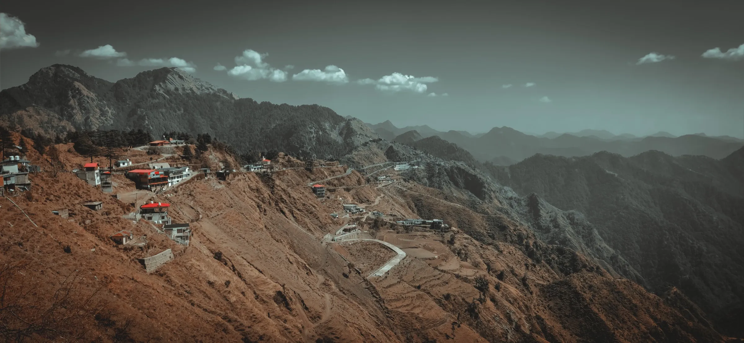
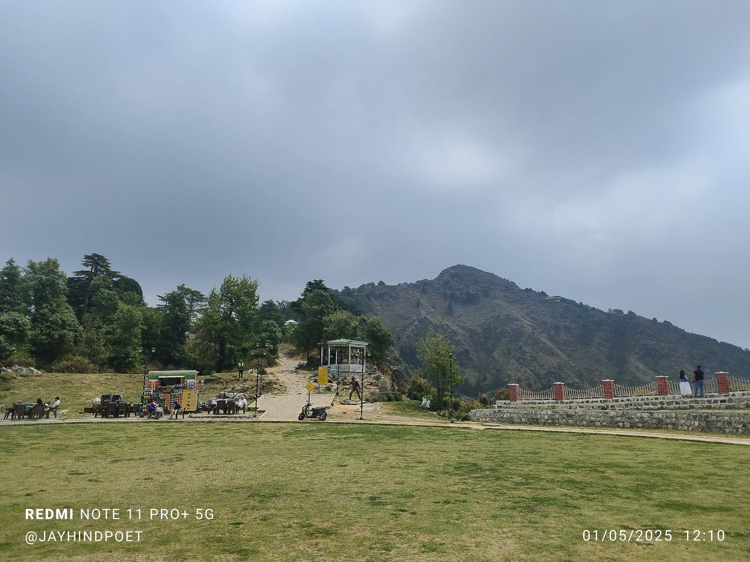
- Walk the original bridle path from Dehradun to Mussoorie, used before the motor road and linked to Rudyard Kipling's Kim and Ruskin Bond's The Kipling Road
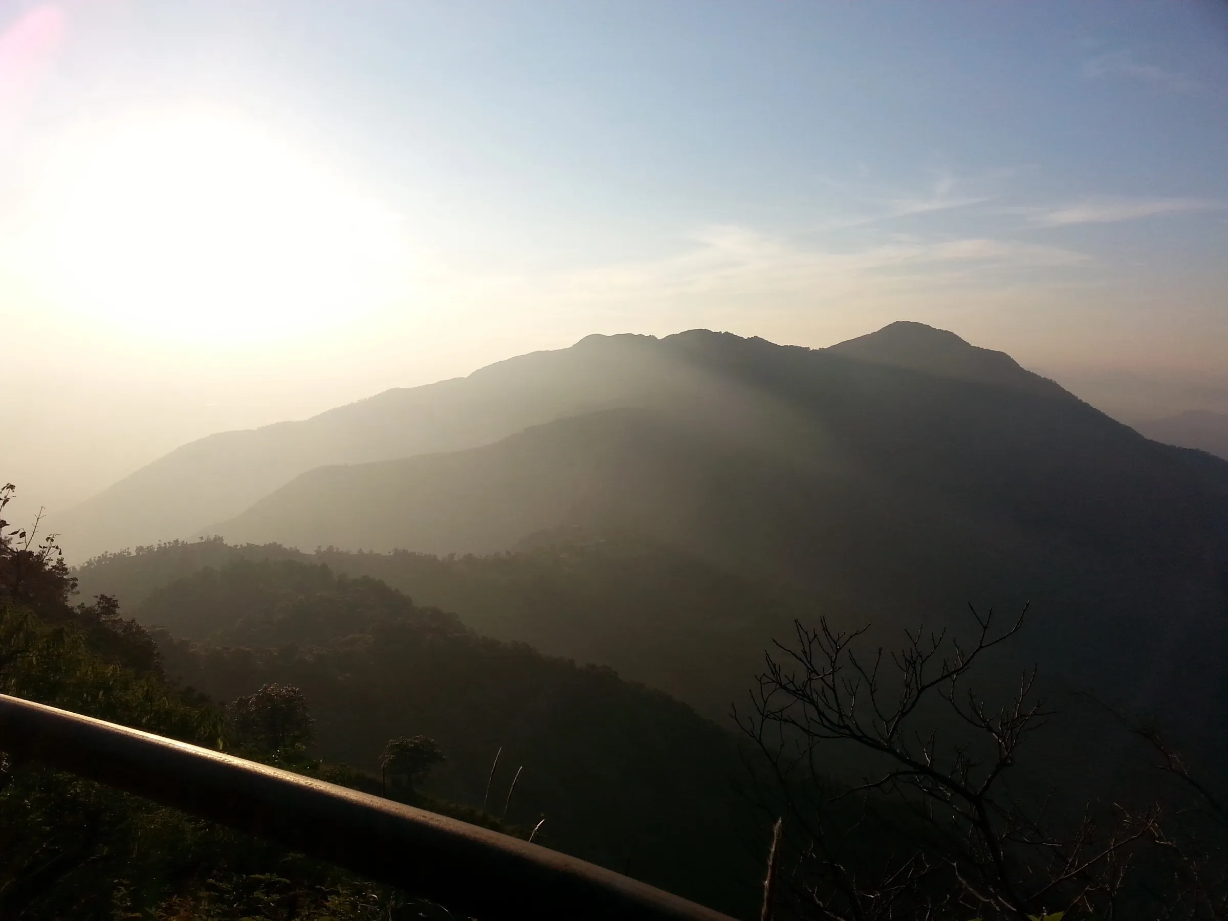
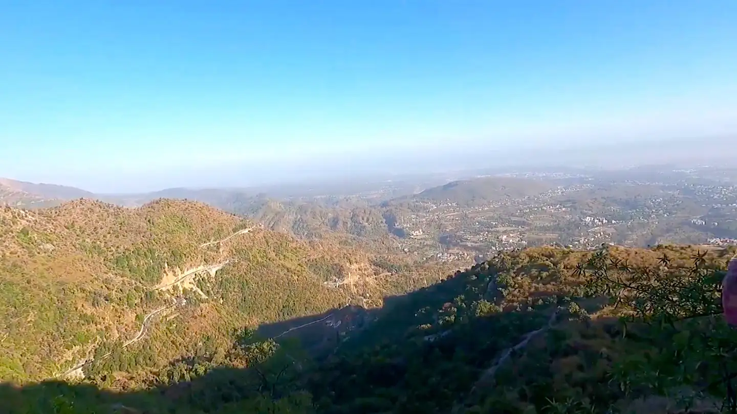
- Views over the Doon Valley from the first ten minutes of the climb
- British-era landmarks: the old toll barrier, Half Way House at Jharipani, Barlowganj's old bakery and brewery site, St George's College and Sikander Hall
- Banj oak and mixed forest with good birding, including Himalayan Bulbul, Grey Treepie and Black-rumped Flameback
Risks
- The first 3 km has a steep drop on one side with no railings, and loose gravel makes it slippery, especially on the descent.
- In the July-August monsoon, rain makes the path slippery and brings landslide risk on the upper sections; skip the trail on rainy days.
- Easy to miss the left turn at a fork about an hour in; if the path starts descending you have gone the wrong way.
- Moss on the path edges after the monsoon is very slippery; keep to the middle of the trail.
Know before you go
Questions
How long is the Kipling Trail and how long does it take?
About 9 km from Shahanshahi Ashram in Rajpur to Library Chowk in Mussoorie: roughly 3.5 km of forest trail to Jharipani and 5 km of old road through Barlowganj. Fit walkers take about 4 hours up; operators allow 5-7 hours with breaks. Walking back down takes about 2 hours.
Is the Kipling Trail suitable for beginners?
Yes, for reasonably fit beginners. Indiahikes grades it easy-moderate and says the incline is 30-35° almost all the way. There is nothing technical, but you gain about 1,000 m from Rajpur to Mussoorie, so go slowly and use a trekking pole for the descent.
When is the best time to walk the Kipling Trail?
It can be walked all year. End-September to February gives clear Doon Valley views and lush post-monsoon forest, and March to June is also pleasant. Avoid rainy days in July and August, when the path is slippery and landslides are possible.
How do I reach the start of the Kipling Trail?
The trail starts behind Shahanshahi Ashram and the Christian Retreat in Rajpur, about 12.5 km up Rajpur Road from Dehradun's Clock Tower. A city bus from Parade Ground drops you at the ashram for about ₹15-20, and you can also drive and park there.
Is there food and water on the trail?
There are tea shops at the trailhead, then nothing until the tea stalls just below Jharipani, which serve tea, Maggi and momos. After Jharipani the route follows the road with small eateries all the way to Mussoorie. Carry at least 2 litres of water.
In an emergency
Save these numbers before you lose signal. Tap to call.
- 112All emergenciesIndia’s single emergency number — works in every state
- 108Ambulance
- 1077District disaster control room
You are in
District: DehradunUttarakhand
- Nearest hospital
- Sakya Hospital, about 4 km from the trailhead; Dehradun hospitals for serious cases
- Last ATM
- Rajpur, near the trailhead; further ATMs at Barlowganj and Mussoorie
- Phone network
- Reasonable BSNL, Airtel and Vodafone coverage for most of the trail, with patchy signal in the first forest section above Rajpur.
Before you set off
- Tell someone your route and when you will be back.
- Carry a charged phone and a power bank.
- Download an offline map of the route.
- Turn back if the weather turns bad — the mountain will wait.
Questions about Kipling Trail
No questions yet. Ask something and trekkers who have done it can answer.
Share your trek photo with #TreksAndTrails
I trekked this
Did Kipling Trail look different from this page? Tell us what changed and we will check it.
Where this comes from
Sources
Last reviewed:
- Kipling Trail Trek - The Original Trail from Dehradun to Mussoorie Brimming with Natural Beauty — Indiahikes
- Kipling Trail — Wikipedia
- Kipling Trail Trek - Himalayan Dream Treks — Himalayan Dream Treks
- Kipling Trail Trek Day Hike — Himalaya Shelter
- Rajpur-Jharipani Hiking Trail/Kipling Trail — Hiking Project
Photos: Daniel Romanson, CC0; Daniel Romanson, CC0; Daniel Romanson, CC0