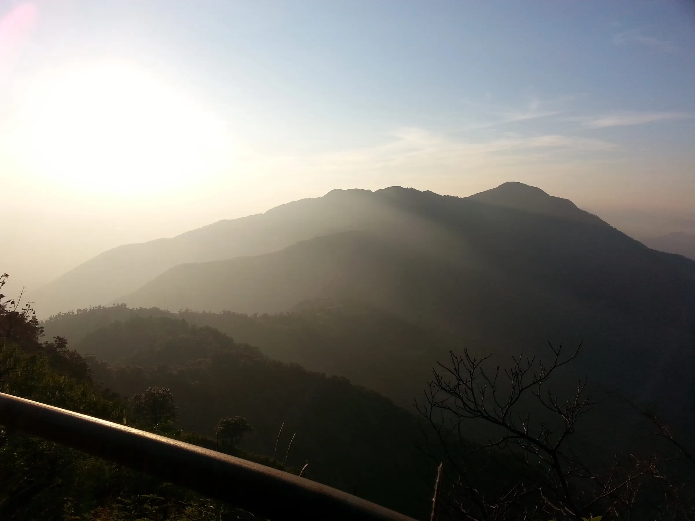
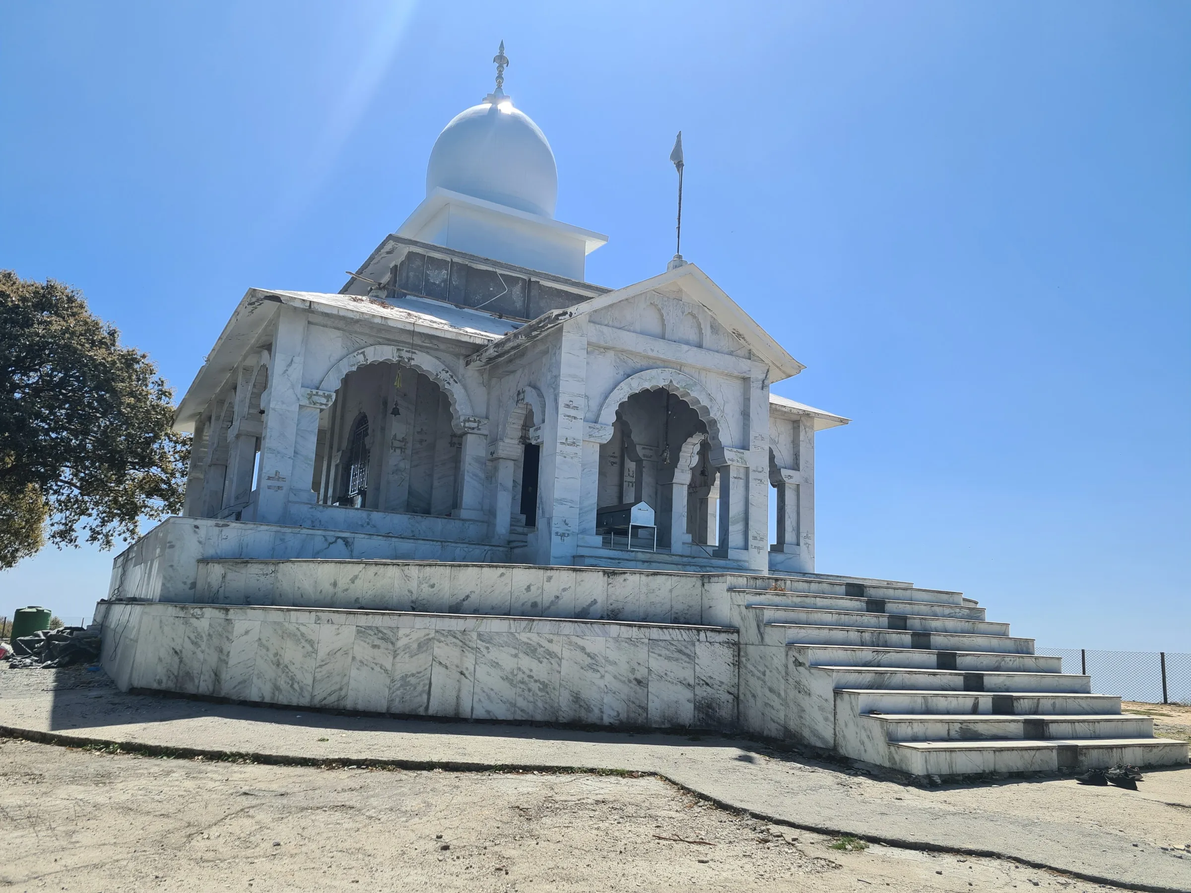
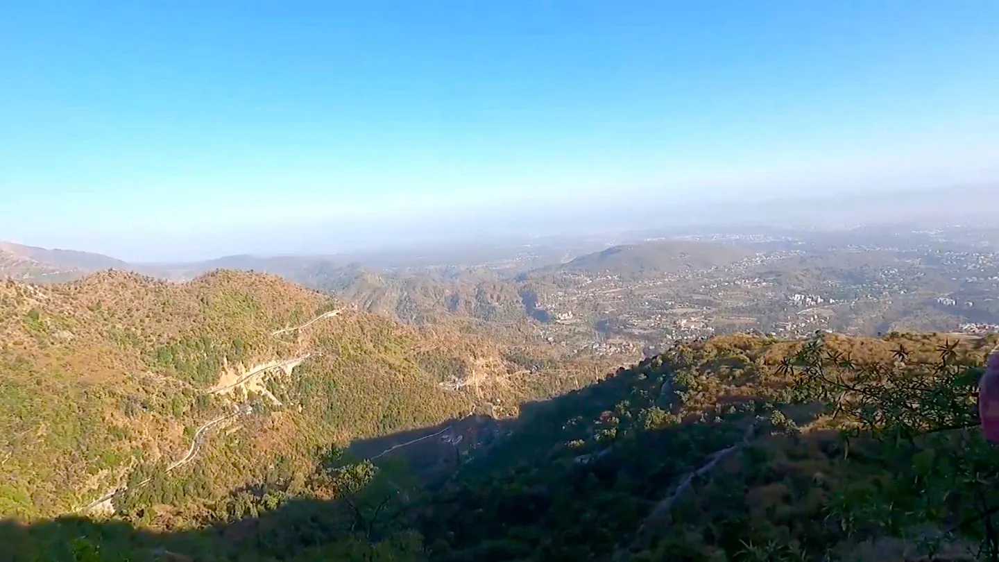
George Everest Peak Trek
Dehradun, Uttarakhand
Opens without signal on this phone, with the map file and checklist. Saved for offline →
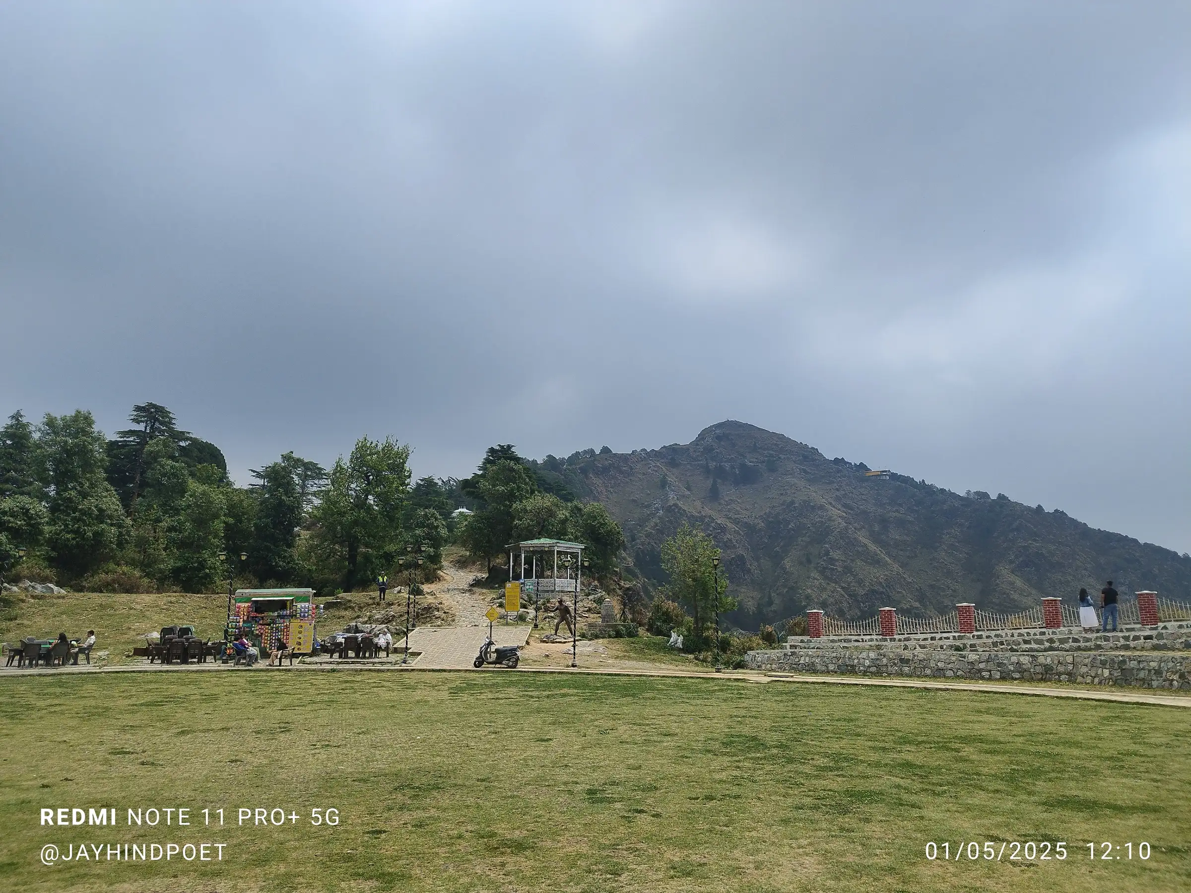
- Max altitude
- 2,130 m
- Days
- 1 day
- Distance
- 7 km
- Difficulty
- Easy
A short half-day walk on a laid stone trail to George Everest's house, then a steep stepped climb of about 900 m to the peak; the last 100 m is loose, slippery rock.
Photos
On the trail
The route
Day by day
Day 1 · highest point
Hathipaon Chowk → Hathipaon Chowk (via George Everest House and George Everest Peak)
1,935 m → 2,130 m → 1,935 m
Ups and downs
Altitude profile
Where it is
Map
Trailhead and high point only — not a recorded track. Use it with a proper map.
Weather
Next 5 days on the trail
Live forecast for the trailhead and the high point. Mountain weather changes fast — check again on the morning you start.
Trailhead · Hathipaon Chowk
at 1,935 mLoading forecast…
High point · George Everest Peak
at 2,130 mLoading forecast…
Each day: high / low °C · rain mm and chance · snow cm · wind km/h
Weather data: Open-Meteo.comModel forecast, not an official warning. For alerts follow IMD and the local administration.
Plan the trip
How to reach
- Trailhead
- Hathipaon Chowk (nearest town: Mussoorie)
- Nearest railway
- Dehradun
- Nearest airport
- Jolly Grant Airport, Dehradun
- By road
- Dehradun (about 35 km to Hathipaon Chowk, about 1 hour 20 minutes); Mussoorie Library Chowk (about 4 km to Hathipaon Chowk by taxi or on foot; no buses run to Hathipaon)
- Drive
- About 1.5 h from Dehradun
Plan the trip
Permits and fees
We could not confirm the current permit rules and fees from an official source. Check with the local forest department or tourism office before you go.
Plan the trip
Cost
Self-guided
₹300–1,500
With an operator
₹2,700–3,500
Per person. Self-guided is an estimate ex-Mussoorie: taxi Library Chowk-Hathipaon and back (or walk the 4 km road), plus the Sir George Everest Heritage Park entrance ticket and the cartography museum ticket, which non-official listings put at about ₹200 and ₹100. Guided prices published October 2026: Himalaya Shelter ₹2,999 + 5% GST ex-Dehradun (day trip that also visits Benog Hill, transport and meals included); a local guided walk listed on Expedia at about US$32 (about ₹2,700) ex-Hathipaon.
Gear
Top picks for this trek
The gear that matters most on this route, chosen from its altitude, season and risks.
 Ad · affiliate link
 Ad · affiliate link
 Ad · affiliate link
 Ad · affiliate link
- Ad · affiliate link
 Ad · affiliate link
 Ad · affiliate link
 Ad · affiliate link
Store buttons open a search on that store, not a product we picked. As an Amazon Associate we earn from qualifying purchases. Photos show the kind of item, not a specific product. Affiliate disclosure
Packing checklist
Matched to this trek: altitude, season, days and the risks on the route.
Packed 0 of 22
Monsoon months (Sep): pack everything in plastic or a dry bag and wear shoes with good grip.
Tick each item as it goes in the bag.
Know before you go
Good to know
- Mobile network
- Not stated by the sources checked; the site is a busy tourist park on the edge of Mussoorie, but confirm coverage locally.
- Last ATM
- Library Chowk, Mussoorie; there are no ATMs near Hathipaon Chowk
- Nearest hospital
- Landour Community Hospital, St. Mary's Hospital and the Civil Hospital in Mussoorie; Dehradun for serious cases
- Water
- No natural water sources on the trail. Carry at least 2 litres; food stalls near Hathipaon and at George Everest House can refill bottles.
Highlights
- Sir George Everest's 1832 house and laboratory at Park Estate, now the George Everest Cartography Museum
- Views of the Doon Valley on one side and snow peaks such as Bandarpoonch, Swargarohini and the Gangotri and Kedarnath ranges on the other
- A stone trail through rhododendron and fir forest that blooms red in late March and April
- Good birding: Himalayan griffon vultures over the open ground, black-headed jays and woodpeckers in the forest
Risks
- The last 100 m to the peak is loose stone and very slippery; wear shoes with grip and consider trekking poles.
- Indiahikes and Bikat say the route becomes inaccessible in heavy monsoon rain and in peak-winter snow; Jaypee Hotels says to take care from July to September when the trail is slippery.
- The estate is now a ticketed Uttarakhand Tourism heritage park with a motor road and parking near the house, so the trail is busy with tourists, especially on weekends.
- The summit area has litter and broken glass; carry your own bottle and bring rubbish back.
Know before you go
Questions
How long is the George Everest Peak trek?
From Hathipaon Chowk it is about 3.5 km one way per Indiahikes' section distances (1.5 km to the base, 1.1 km to George Everest House, 900 m to the peak), so about 7 km and 4-5 hours return. Starting on foot from Library Chowk in Mussoorie adds 4 km each way.
Is George Everest Peak suitable for beginners and children?
Yes. Indiahikes, Bikat and Himalaya Shelter all rate it easy and suitable for beginners and families. Only the climb from the house to the peak is steep, and its last 100 m is loose and slippery.
How high is George Everest Peak?
George Everest House stands at about 2,000 m (6,578 ft). The peak above it is higher: SRTM elevation at the mapped viewpoint is about 2,130 m, and Jaypee Hotels gives about 2,100 m.
Do I need a permit or ticket?
No trekking permit is needed. The estate is now the Sir George Everest Heritage Park run by Uttarakhand Tourism, and its gate sign says the site is accessible only with a ticket. We could not confirm the current fee from an official source, so check at the gate.
Can I drive to George Everest House?
Yes. Vehicles can go most of the way and there is parking near the base and at Hathipaon Chowk. The trek is for those who prefer to walk the forest trail from Hathipaon.
In an emergency
Save these numbers before you lose signal. Tap to call.
- 112All emergenciesIndia’s single emergency number — works in every state
- 108Ambulance
- 1077District disaster control room
You are in
District: DehradunUttarakhand
- Nearest hospital
- Landour Community Hospital, St. Mary's Hospital and the Civil Hospital in Mussoorie; Dehradun for serious cases
- Last ATM
- Library Chowk, Mussoorie; there are no ATMs near Hathipaon Chowk
- Phone network
- Not stated by the sources checked; the site is a busy tourist park on the edge of Mussoorie, but confirm coverage locally.
Before you set off
- Tell someone your route and when you will be back.
- Carry a charged phone and a power bank.
- Download an offline map of the route.
- Turn back if the weather turns bad — the mountain will wait.
Questions about George Everest Peak
No questions yet. Ask something and trekkers who have done it can answer.
Share your trek photo with #TreksAndTrails
I trekked this
Did George Everest Peak look different from this page? Tell us what changed and we will check it.
Where this comes from
Sources
Last reviewed:
- George Everest Peak Trek - Trek to one of the Most Historical Peaks near Mussoorie — Indiahikes
- DIY Guide to George Everest Peak Trek in Mussoorie — Bikat Adventures
- George Everest Trek, Mussoorie — Himalaya Shelter
- George Everest Peak Trek — TrekUp India
- George Everest House, Mussoorie: What to See, Trek & Tips — Jaypee Hotels
- Hathipaon Hike, Mussoorie (guided walking tour of George Everest House and Everest Peak) — Expedia (local guide listing)
- Sir George Everest Estate — Mussoorie Handbook
Photos: Nitin Khare Chetan, CC0; Rangan Datta Wiki, CC BY-SA 4.0; Ps14061990, CC BY-SA 4.0