- Max altitude
- 2,218 m
- Days
- 1 day
- Distance
- 14 km
- Difficulty
- Easy
A well-used village path with no technical sections, but it drops about 400 m from Cloud End to Dudhli and climbs back over a rocky, steep final stretch to the temple, so the round trip is a full 5-7 hour day.
Photos
On the trail
The route
Day by day
Day 1 · highest point
Cloud End → Cloud End (via Dudhli and Bhadraj Temple)
2,115 m → 2,218 m → 2,115 m
Ups and downs
Altitude profile
Where it is
Map
Trailhead and high point only — not a recorded track. Use it with a proper map.
Weather
Next 5 days on the trail
Live forecast for the trailhead and the high point. Mountain weather changes fast — check again on the morning you start.
Trailhead · Cloud End, Mussoorie
at 2,115 mLoading forecast…
High point · Bhadraj Temple, Bhadraj Hill top
at 2,218 mLoading forecast…
Each day: high / low °C · rain mm and chance · snow cm · wind km/h
Weather data: Open-Meteo.comModel forecast, not an official warning. For alerts follow IMD and the local administration.
Plan the trip
How to reach
- Trailhead
- Cloud End, Mussoorie
- Nearest railway
- Dehradun
- Nearest airport
- Jolly Grant Airport, Dehradun
- By road
- Dehradun (about 37 km to Cloud End via Mussoorie, 1.5-2 h); Library Chowk, Mussoorie (about 5.5-7 km by taxi or on foot along the Park Estate road to Cloud End)
- Drive
- About 2 h from Dehradun
Plan the trip
Permits and fees
We could not confirm the current permit rules and fees from an official source. Check with the local forest department or tourism office before you go.
Plan the trip
Cost
Self-guided
₹300–1,500
With an operator
₹1,000–2,850
Per person for a day trek. Guided: Himalaya Shelter lists ₹2,500 + 5% GST + ₹180 trek insurance, ex-Dehradun (pickup at Prince Chowk); a Viator-sold local guided hike from Dudhli (listed on AAA TripCanvas) starts at about US$11-14 (roughly ₹1,000-1,200) with pickup. Himalayan Dream Treks quotes on request. Self-guided is an estimate ex-Mussoorie: shared or private taxi from Library Chowk to Cloud End, snacks at Dudhli and water; any forest entry fee is extra, so check locally.
Gear
Top picks for this trek
The gear that matters most on this route, chosen from its altitude, season and risks.
 Ad · affiliate link
 Ad · affiliate link
 Ad · affiliate link
 Ad · affiliate link
 Ad · affiliate link
- Ad · affiliate link
 Ad · affiliate link
 Ad · affiliate link
Store buttons open a search on that store, not a product we picked. As an Amazon Associate we earn from qualifying purchases. Photos show the kind of item, not a specific product. Affiliate disclosure
Packing checklist
Matched to this trek: altitude, season, days and the risks on the route.
Packed 0 of 25
Monsoon months (Jun, Sep): pack everything in plastic or a dry bag and wear shoes with good grip.
Tick each item as it goes in the bag.
Know before you go
Good to know
- Mobile network
- Mobile signal in Mussoorie; not confirmed for the forest section below Cloud End and on the hilltop, so do not rely on it.
- Last ATM
- Mussoorie (Library Chowk / Mall Road area)
- Nearest hospital
- Mussoorie for first aid; Dehradun hospitals for serious cases
- Water
- No packaged drinking water at the small shop in Dudhli village (it sells biscuits and Maggi); carry at least 2 litres from Mussoorie and treat any spring water.
Highlights
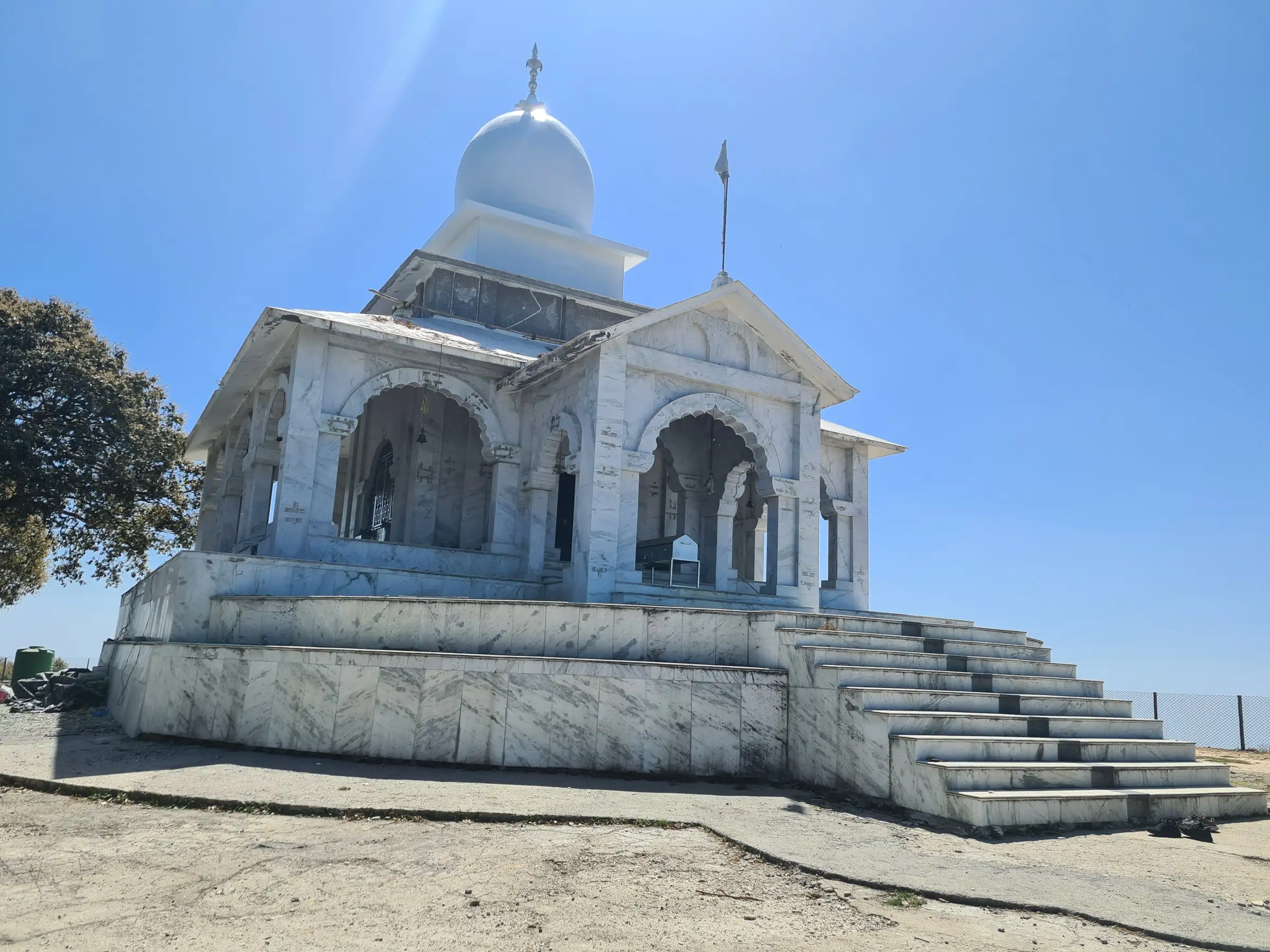
- Darshan at the hilltop temple of Lord Balbhadra (Balram), elder brother of Lord Krishna, on the far western edge of Mussoorie
- The old Milkman's Trail through dense oak forest to Dudhli village, which still supplies milk to Mussoorie
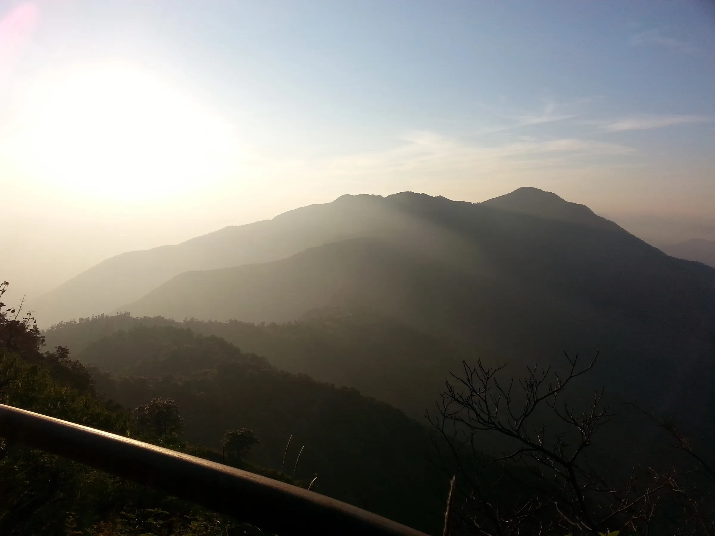
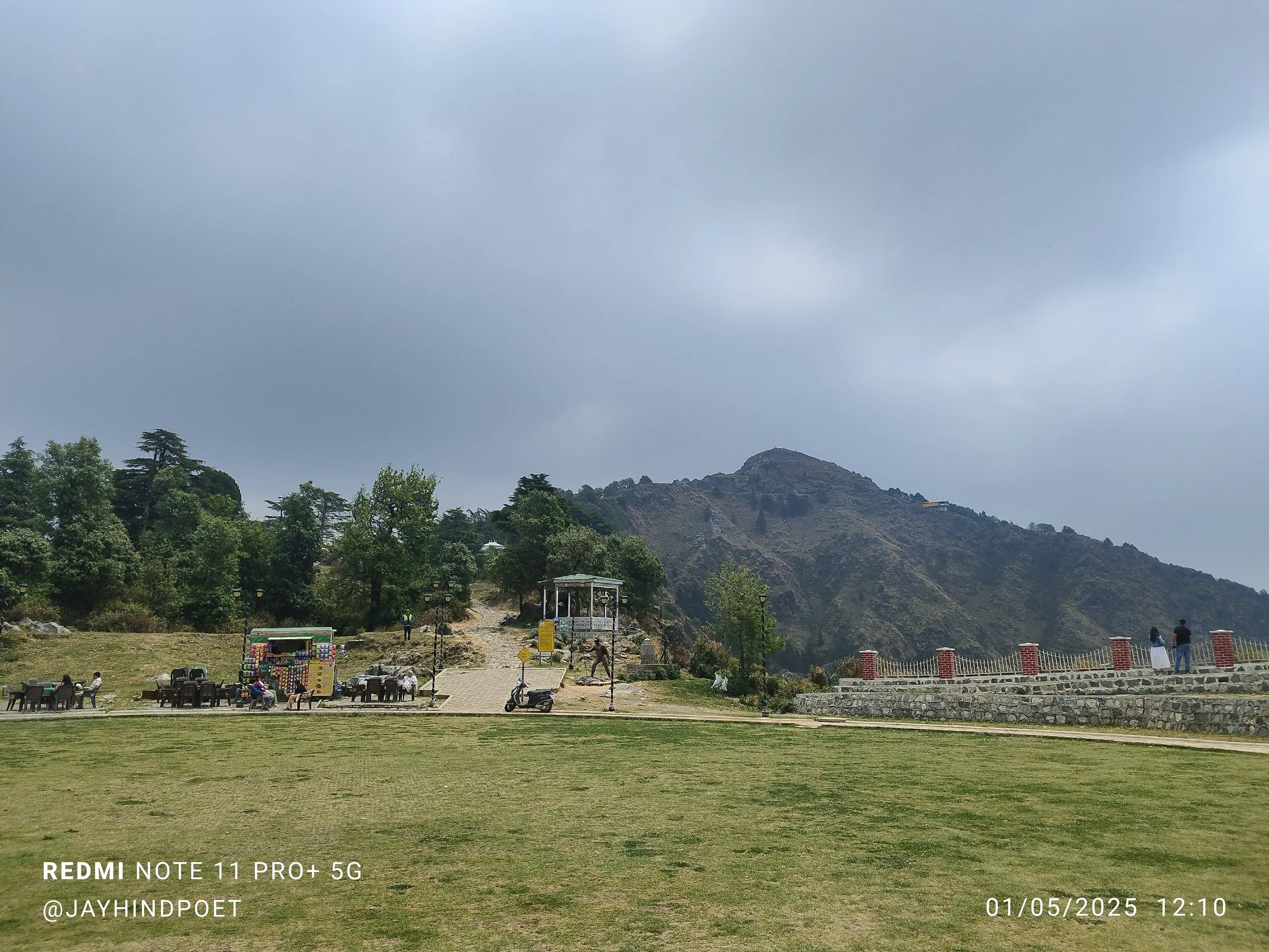
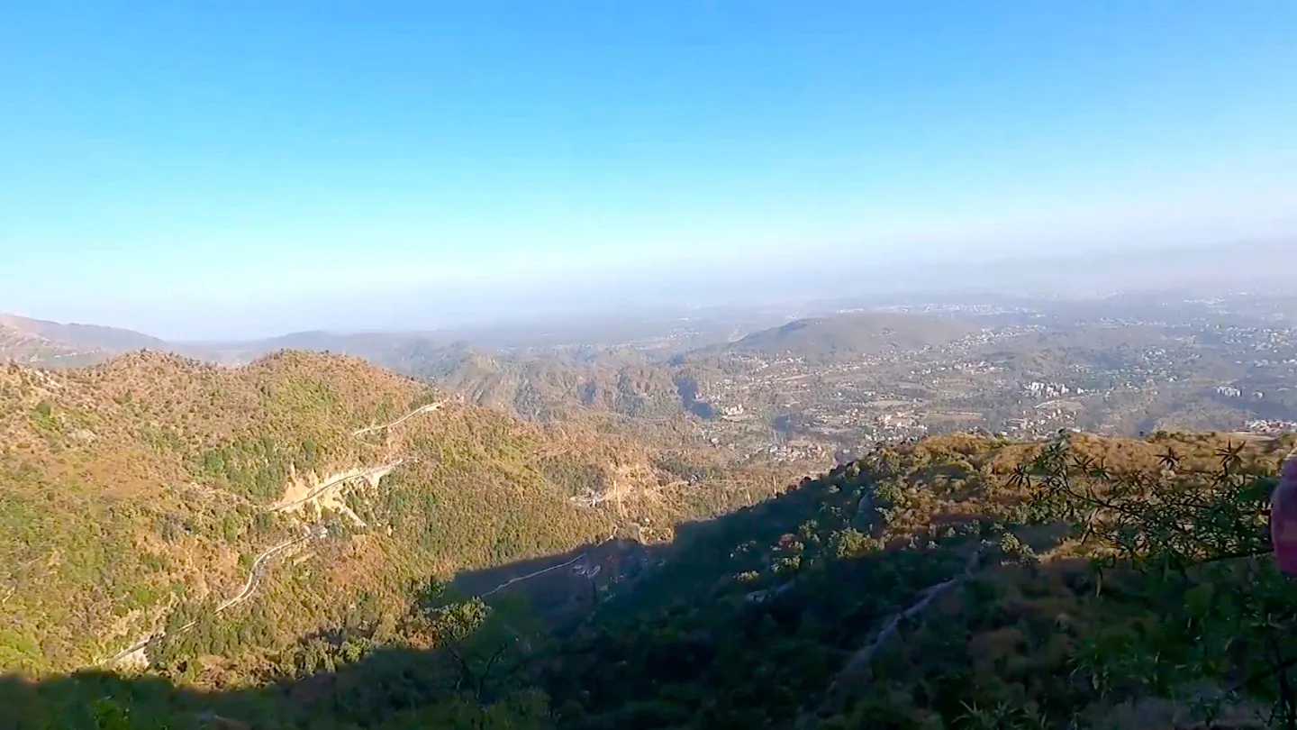
- Open grassy ridge with views of the Bandarpoonch and Swargarohini ranges, the Doon Valley and the Chakrata hills
- Bhadraj Mela in mid-August, when devotees climb to the temple in large numbers
Risks
- July to early September monsoon brings landslide risk, slippery mud and leeches; check the forecast before going.
- December to March can bring heavy snowfall on the hill; one operator advises against the trek then.
- Several forest paths branch towards Dudhli and the upper ridge; take a local guide or follow the signboards to Bhadraj Temple.
- The temple priest visits only occasionally and there is no reliable food or water on top; start early to finish before dark.
Know before you go
Questions
Can the Bhadraj Temple trek be done in one day?
Yes. From Cloud End most people walk to the temple and back in a single day of about 5-7 hours. Operators also run it as two days with a night's camp near Dudhli village.
How long is the Bhadraj trek and where does it start?
The trail starts at Cloud End on the western edge of Mussoorie. Cloud End to Dudhli is about 3 km downhill and Dudhli to the temple about 4-4.5 km uphill, so the round trip is about 14-15 km. Walking in from Library End adds about 5.5 km each way.
What is the best time for the Bhadraj trek?
March to June and late September to November give pleasant weather and clear views. Avoid the July-August monsoon for landslides and leeches, and expect possible snow in winter.
Who is the Bhadraj temple dedicated to?
The temple is dedicated to Lord Bal Bhadra (Balram), the elder brother of Lord Krishna. The annual Bhadraj Mela is held in mid-August, around 15-17 August, and draws large numbers of devotees.
Is there water or food on the trail?
Only a small shop at Dudhli village with packaged snacks; it does not sell bottled water. Carry enough water and food from Mussoorie.
In an emergency
Save these numbers before you lose signal. Tap to call.
- 112All emergenciesIndia’s single emergency number — works in every state
- 108Ambulance
- 1077District disaster control room
You are in
District: DehradunUttarakhand
- Nearest hospital
- Mussoorie for first aid; Dehradun hospitals for serious cases
- Last ATM
- Mussoorie (Library Chowk / Mall Road area)
- Phone network
- Mobile signal in Mussoorie; not confirmed for the forest section below Cloud End and on the hilltop, so do not rely on it.
Before you set off
- Tell someone your route and when you will be back.
- Carry a charged phone and a power bank.
- Download an offline map of the route.
- Turn back if the weather turns bad — the mountain will wait.
Questions about Bhadraj Hill
No questions yet. Ask something and trekkers who have done it can answer.
Share your trek photo with #TreksAndTrails
I trekked this
Did Bhadraj Hill look different from this page? Tell us what changed and we will check it.
Where this comes from
Sources
Last reviewed:
- Mussoorie | District Dehradun, Government of Uttarakhand — District Administration Dehradun (official)
- Bhadraj Temple Trek - Easy Trek Near Mussoorie 2026 — Himalayan Dream Treks
- 15 Best Day Hikes and Treks Near Dehradun — Himalayan Dream Treks
- Bhadraj Trek — Himalaya Shelter
- Bhadraj Hill Trek — Indiahikes
- Exploring the Enchanting Bhadraj Temple: A Hidden Treasure in Uttarakhand — Hireacamp
Photos: Manishgarg57, CC BY-SA 4.0; Manu barthwal, CC BY-SA 4.0; Ansh.anshulbhatt, CC BY-SA 4.0