Benog Tibba Trek
Dehradun (the summit sits on the Tehri Garhwal border), Uttarakhand
- Max altitude
- 2,250 m
- Days
- 2 days
- Distance
- 8 km
- Difficulty
- Easy
About 4 km each way on a clear forest trail with roughly 200 m of climbing. Some steep switchbacks in the forest, but there is no exposure or high altitude, and operators rate it suitable for beginners and families.
Photos
On the trail
The route
Day by day
Day 1 · highest point
Dehradun → Benog Tibba summit (via Cloud End)
640 m → 2,250 m
Day 2
Benog Tibba summit → Cloud End (drive to Dehradun)
2,250 m → 2,075 m
Ups and downs
Altitude profile
Where it is
Map
Trailhead and high point only — not a recorded track. Use it with a proper map.
Weather
Next 5 days on the trail
Live forecast for the trailhead and the high point. Mountain weather changes fast — check again on the morning you start.
Trailhead · Cloud End
at 640 mLoading forecast…
High point · Benog Tibba summit
at 2,250 mLoading forecast…
Each day: high / low °C · rain mm and chance · snow cm · wind km/h
Weather data: Open-Meteo.comModel forecast, not an official warning. For alerts follow IMD and the local administration.
Plan the trip
How to reach
- Trailhead
- Cloud End (nearest town: Mussoorie)
- Nearest railway
- Dehradun
- Nearest airport
- Jolly Grant Airport, Dehradun
- By road
- Dehradun (about 35 km via Mussoorie to Cloud End); Mussoorie Library Chowk (about 8 km west to Cloud End)
- Drive
- About 2 h from Dehradun
Plan the trip
Permits and fees
We could not confirm the current permit rules and fees from an official source. Check with the local forest department or tourism office before you go.
Plan the trip
Cost
Self-guided
₹600–2,500
With an operator
₹2,700–3,200
Per person, ex-Dehradun. Guided: Himalayan Dream Treks lists ₹3,000 + 5% GST for the overnight camping version with Dehradun transport (October 2026); Expedia lists a guided Benog Tibba day hike from about US$32 (about ₹2,700). Self-guided is an estimate: bus or shared taxi Dehradun-Mussoorie, a taxi to Cloud End and back, and the sanctuary entry fee paid at the forest check post (operators quote about ₹200; not confirmed by an official source).
Gear
Top picks for this trek
The gear that matters most on this route, chosen from its altitude, season and risks.
 Ad · affiliate link
 Ad · affiliate link
 Ad · affiliate link
 Ad · affiliate link
 Ad · affiliate link
 Ad · affiliate link
 Ad · affiliate link
 Ad · affiliate link
Store buttons open a search on that store, not a product we picked. As an Amazon Associate we earn from qualifying purchases. Photos show the kind of item, not a specific product. Affiliate disclosure
Packing checklist
Matched to this trek: altitude, season, days and the risks on the route.
Packed 0 of 24
Tick each item as it goes in the bag.
Know before you go
Good to know
- Mobile network
- Mobile networks work in Mussoorie; we could not confirm coverage on the forested trail, so expect it to be patchy.
- Last ATM
- Mussoorie (Library Chowk area)
- Nearest hospital
- Mussoorie for first care; Dehradun hospitals for serious cases
- Water
- None on the trail or at the summit. Carry at least 2 litres per person from Cloud End.
Highlights
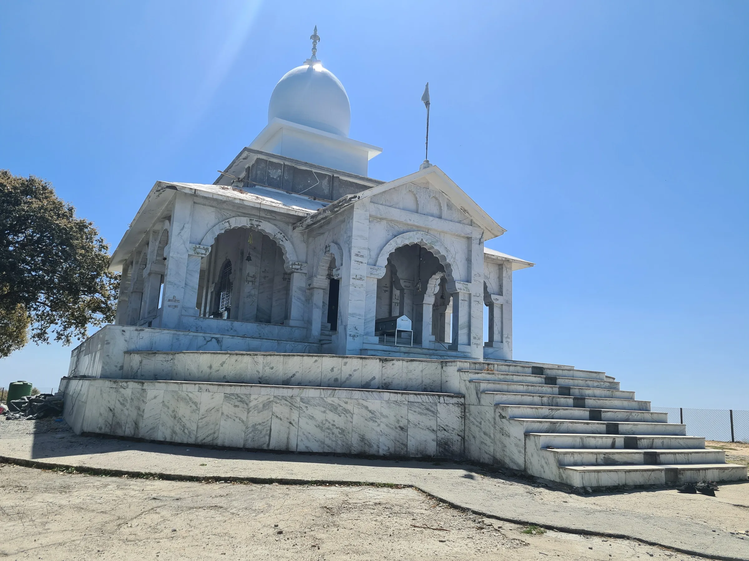
- Forest walk of oak, pine and rhododendron inside Benog (Mussoorie) Wildlife Sanctuary, starting right from the check post at Cloud End
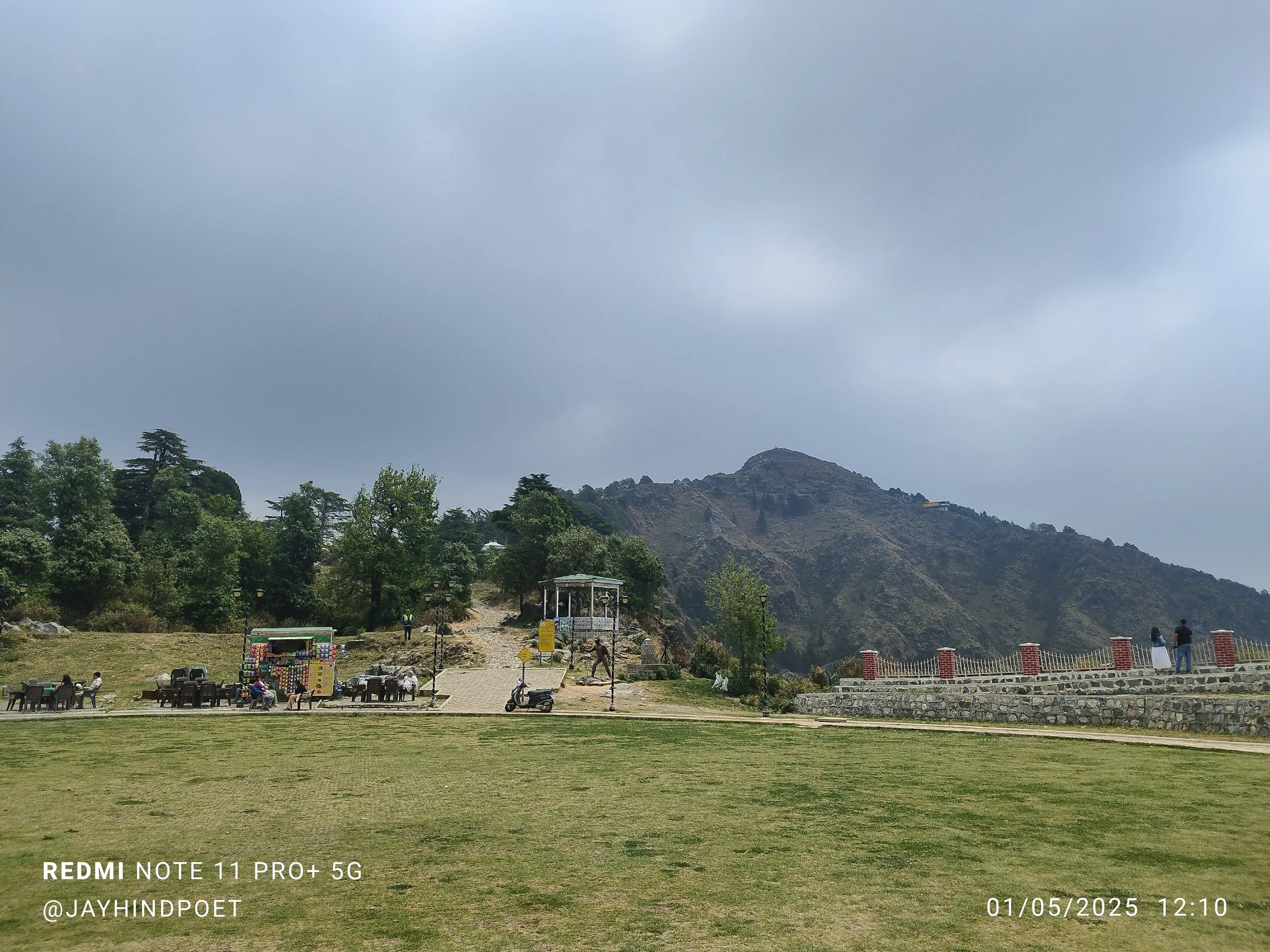
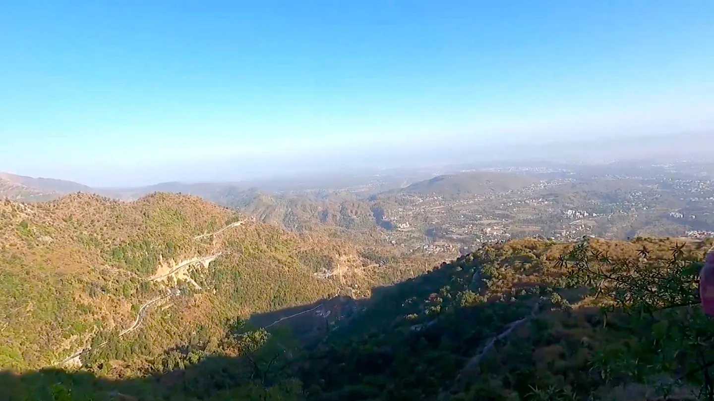
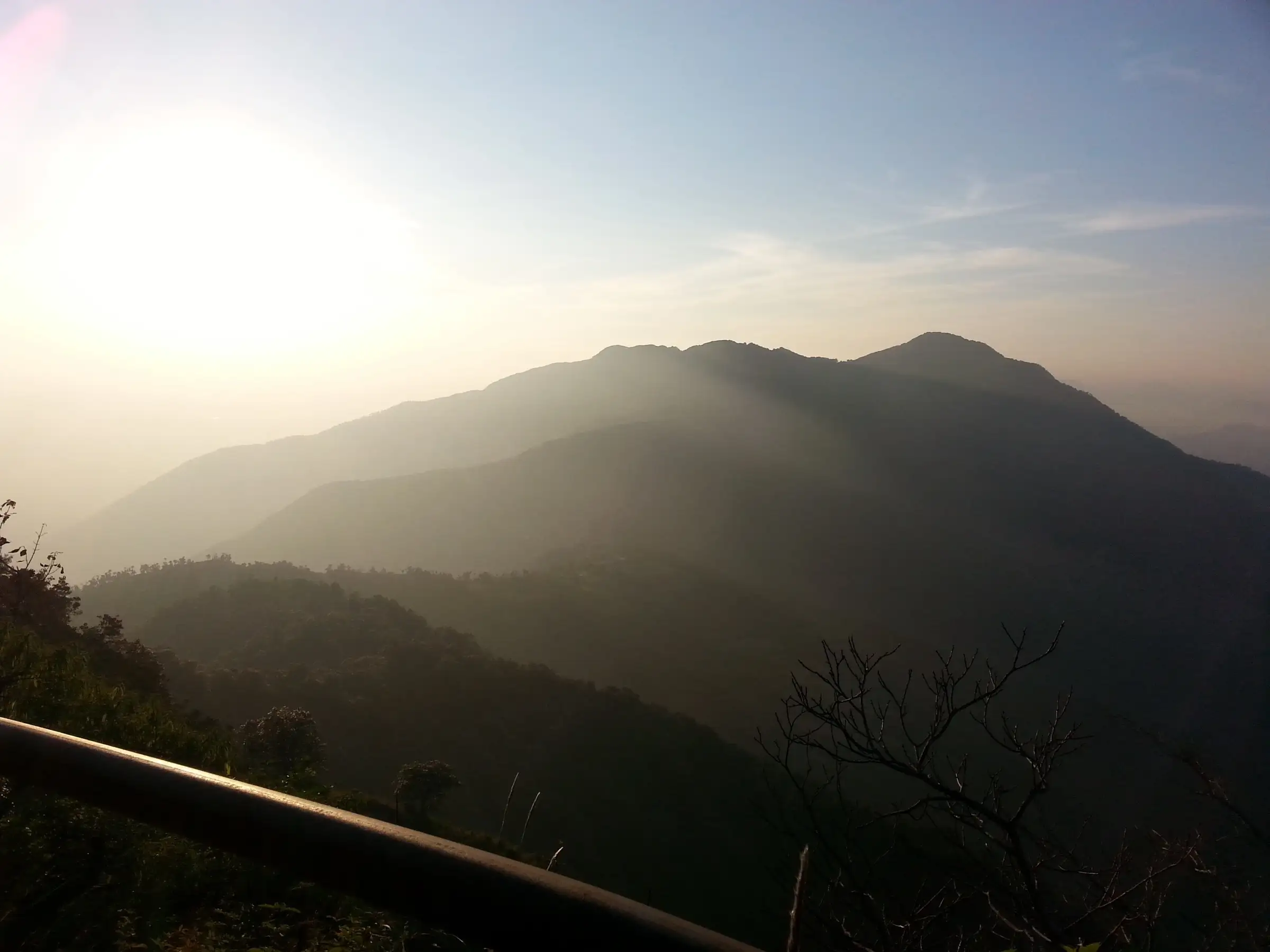
- Open grassy summit with views west over the Yamuna valley and north to the snow peaks on clear days
- Spring flowers on the upper grassy slopes and birdlife such as barking deer, langurs and Himalayan birds for quiet walkers
- Short enough for a day hike from Mussoorie, or an overnight camp on the summit for sunset and sunrise
Risks
- No water anywhere on the route; dehydration is the main problem on warm days.
- Monsoon (July-August) brings slippery mud and leeches; operators say entry is restricted or the trek should be avoided then.
- The sanctuary is a day-use area that closes by late afternoon; start early and carry photo ID for the forest check post.
- The summit is exposed and can be very windy and cold, especially in December to February.
Know before you go
Questions
How long is the Benog Tibba trek?
About 8 km out and back from Cloud End: roughly 4 km up to the summit and the same way down. Most people do it as a 3-7 hour day hike from Mussoorie; some operators run it as an overnight camp on the summit.
Where does the Benog Tibba trek start?
At Cloud End (Cloud End Forest Resort), about 8 km west of Mussoorie and about 35 km (2 hours by road) from Dehradun. The trail enters Benog Wildlife Sanctuary through a forest check post there.
Is Benog Tibba suitable for beginners?
Yes. Operators rate it easy to moderate and suitable for beginners and families. The forest section has some steep switchbacks, but it is short and there is no high altitude.
When is the best time for Benog Tibba?
March to May and October to November give the clearest weather and the best views. Avoid the July-August monsoon, and expect cold, windy days in December to February.
Is there an entry fee for Benog Wildlife Sanctuary?
Operators say a sanctuary entry fee of about ₹200 per Indian national is paid at the check post, and you must carry photo ID. We could not confirm the current fee from an official source, so check at the forest check post.
In an emergency
Save these numbers before you lose signal. Tap to call.
- 112All emergenciesIndia’s single emergency number — works in every state
- 108Ambulance
- 1077District disaster control room
You are in
District: Dehradun (the summit sits on the Tehri Garhwal border)Uttarakhand
- Nearest hospital
- Mussoorie for first care; Dehradun hospitals for serious cases
- Last ATM
- Mussoorie (Library Chowk area)
- Phone network
- Mobile networks work in Mussoorie; we could not confirm coverage on the forested trail, so expect it to be patchy.
Before you set off
- Tell someone your route and when you will be back.
- Carry a charged phone and a power bank.
- Download an offline map of the route.
- Turn back if the weather turns bad — the mountain will wait.
Questions about Benog Tibba
No questions yet. Ask something and trekkers who have done it can answer.
Share your trek photo with #TreksAndTrails
I trekked this
Did Benog Tibba look different from this page? Tell us what changed and we will check it.
Where this comes from
Sources
Last reviewed:
- Benog Tibba Trek — Indiahikes
- Benog Tibba Trek 2026 | Cost, Itinerary, Best Time & Package — Himalayan Dream Treks
- The Benog Hill Trek — Himalaya Shelter
- Route: Mussoorie's Seven Summits — Fastest Known Time
Photos: Poorna293, CC BY-SA 4.0; Dr. Raju Kasambe, CC BY-SA 3.0; Gannu03, CC BY-SA 4.0