Karoh Peak Trek
Panchkula, Haryana
Opens without signal on this phone, with the map file and checklist. Saved for offline →
- Max altitude
- 1,467 m
- Days
- 1 day
- Distance
- 20 km
- Difficulty
- Easy
Sources call it an easy to moderate day hike on an unpaved, rocky path with loose gravel; the climb from Tikkar Taal is roughly 800 m of height gain, and the length depends on where you start.
About this trek
Karoh Peak
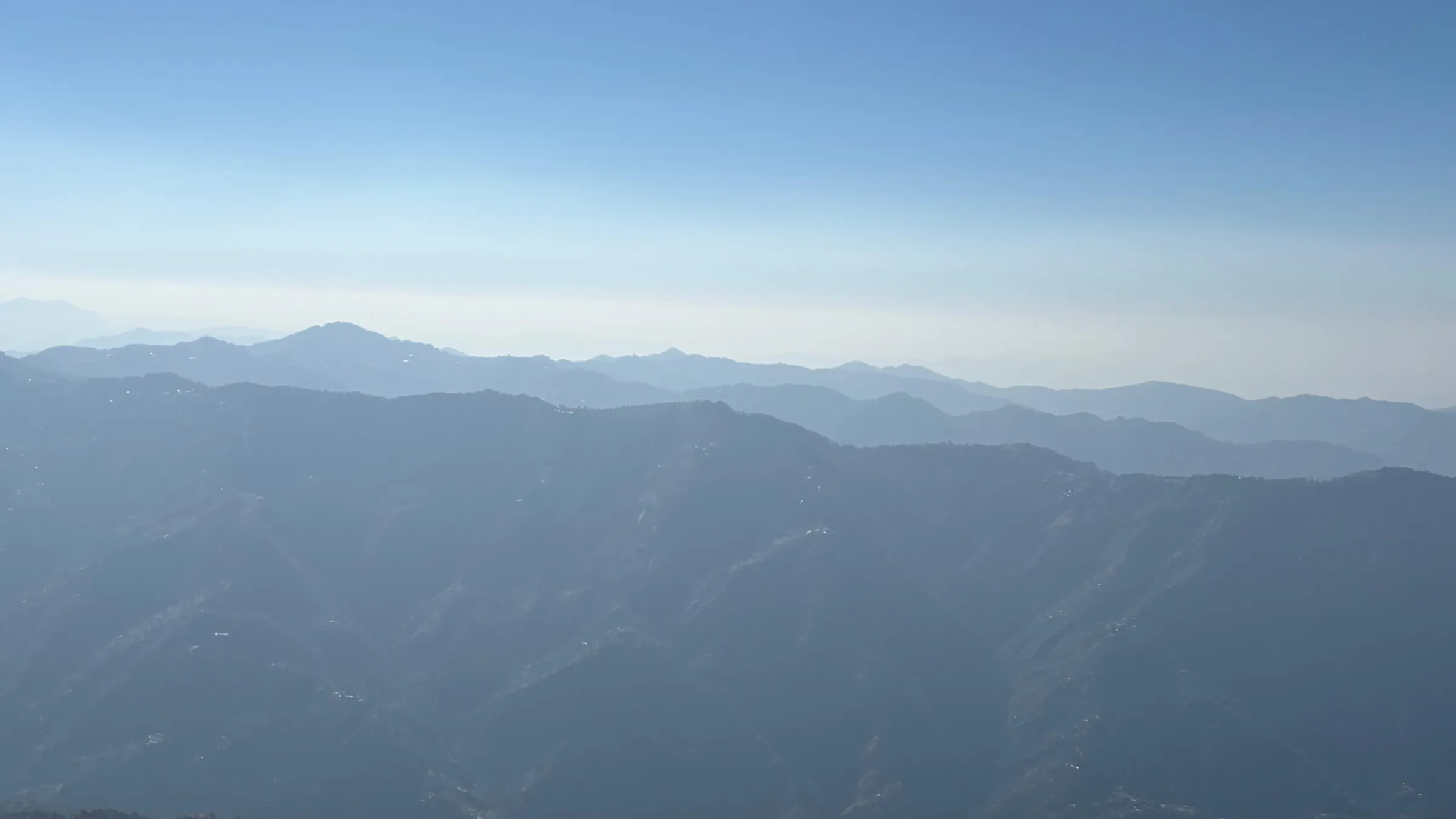
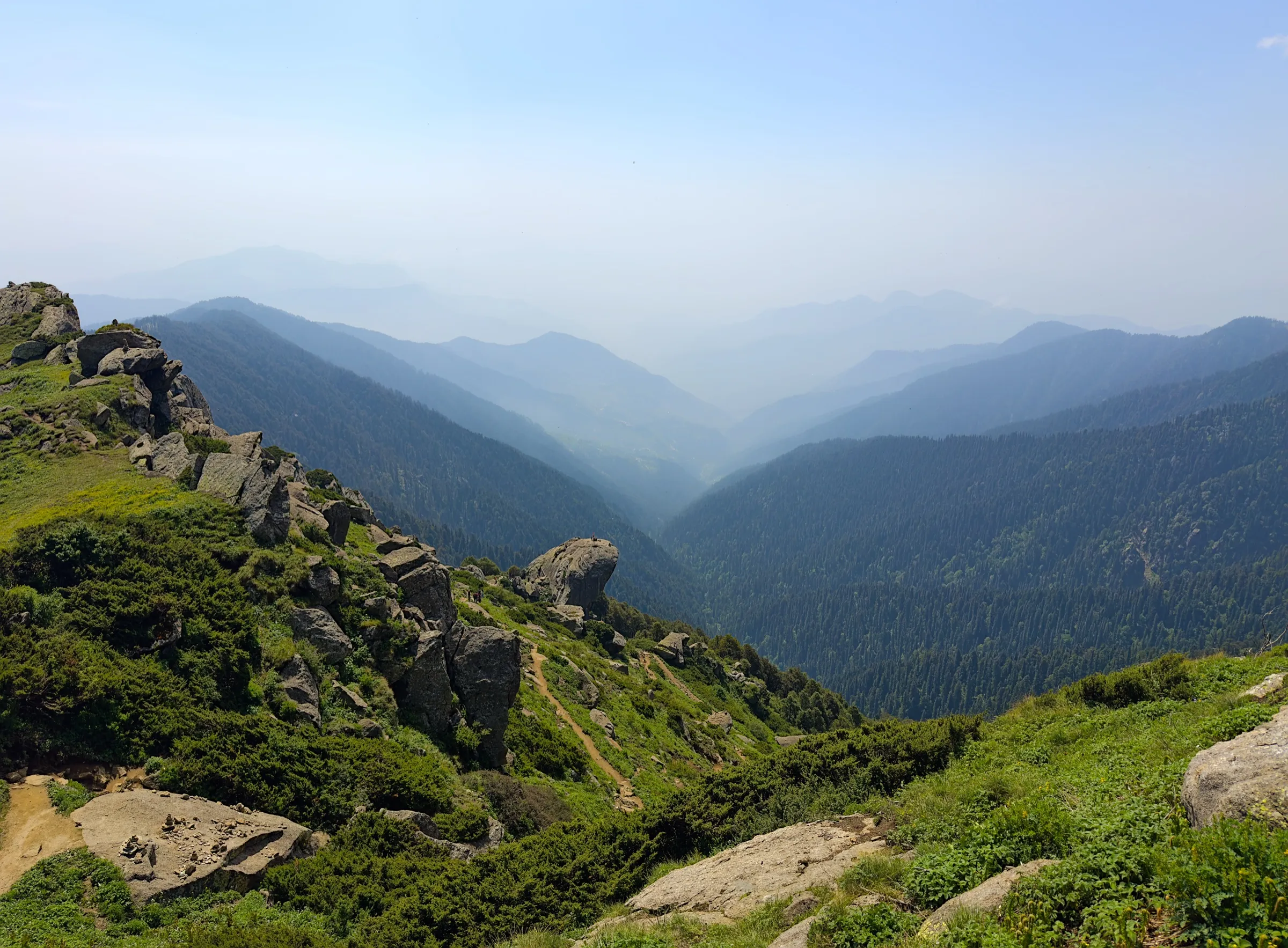
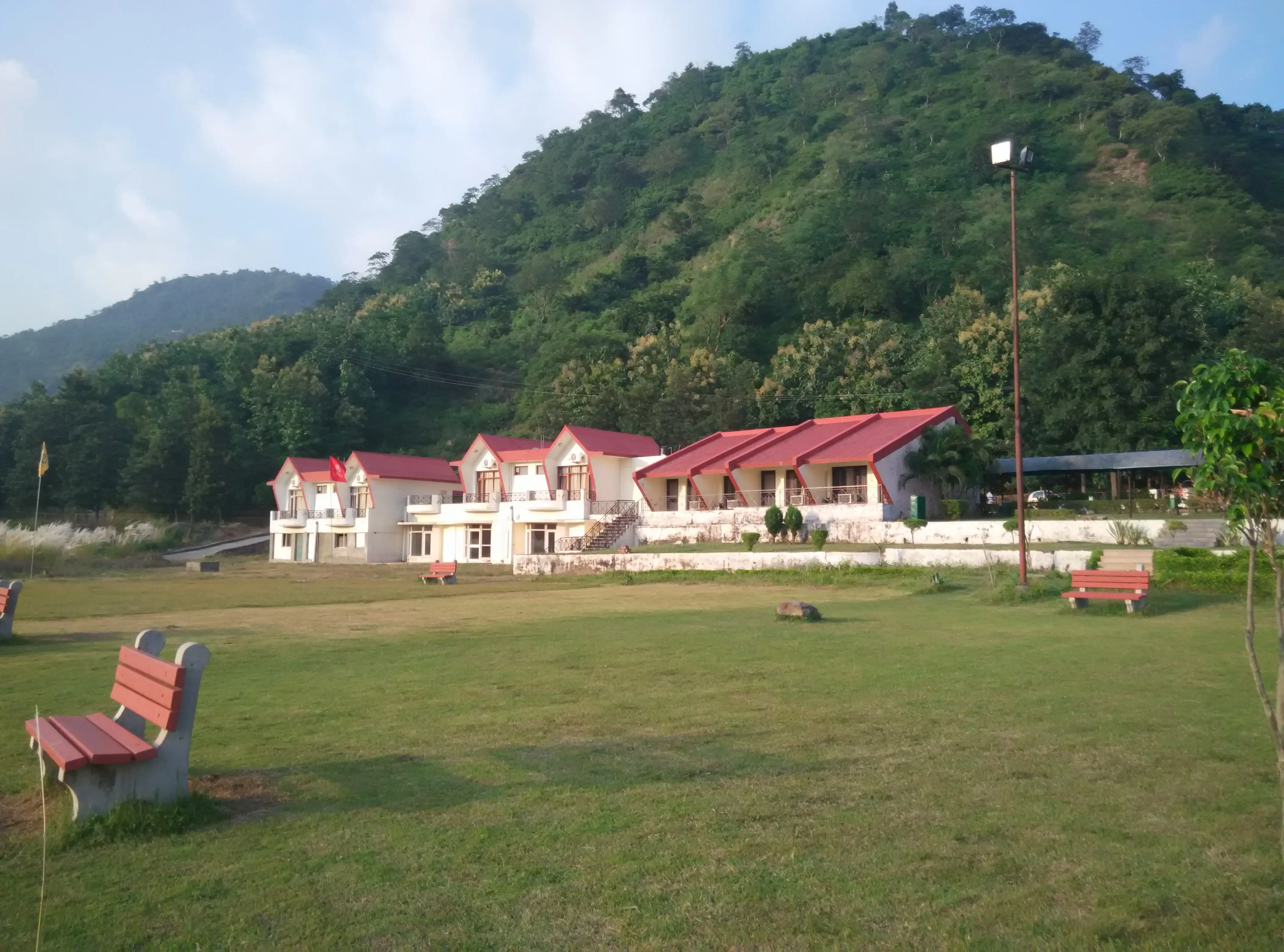
Karoh Peak, at 1,467 m, is the highest point in Haryana, in the Morni Hills of Panchkula district. The trail climbs through chir pine and oak forest on an unpaved, rocky path, with views over the plains once the canopy opens. One guide rates it easy to moderate and puts the round trip at 3 to 4 hours from a higher start near the Himachal border; the walk here starts lower, at Tikkar Taal. It suits beginners and families with sturdy shoes.
Photos
On the trail
The route
Day by day
Day 1 · highest point
Tikkar Taal → Karoh Peak and back
650 m → 1,467 m → 650 m
- The path through chir pine and oak is mostly unpaved and rocky in places, with loose gravel.
- Tikkar Taal has two linked lakes, Bada Taal and Chhota Taal; it is the usual base for walks in the hills.
- The canopy opens higher up for views of the plains and distant ranges.
- Facilities are few and mobile coverage is patchy, so carry your own water.
Ups and downs
Altitude profile
Where it is
Map
Trailhead and high point only — not a recorded track. Use it with a proper map.
Weather
Next 5 days on the trail
Live forecast for the trailhead and the high point. Mountain weather changes fast — check again on the morning you start.
Trailhead · Tikkar Taal, Morni
at 650 mLoading forecast…
High point · Karoh Peak (highest point of Haryana)
at 1,467 mLoading forecast…
Each day: high / low °C · rain mm and chance · snow cm · wind km/h
Weather data: Open-Meteo.comModel forecast, not an official warning. For alerts follow IMD and the local administration.
Plan the trip
How to reach
- Trailhead
- Tikkar Taal, Morni
- Nearest railway
- Chandigarh / Kalka
- Nearest airport
- Chandigarh International Airport
- By road
- Chandigarh to Morni (about 45 km via NH-5 and State Highway 1, roughly 1.5 hours); Panchkula to Morni (about 32-35 km), then Tikkar Taal about 15 km beyond Morni village
- Drive
- About 2 h from Chandigarh
Plan the trip
Permits and fees
We could not confirm the current permit rules and fees from an official source. Check with the local forest department or tourism office before you go.
Plan the trip
Cost
Self-guided
₹800–2,500
With an operator
₹800–2,500
Per person, ex-Chandigarh. No operator price for this hike was found; this is an estimate for a shared cab or self-drive to Tikkar Taal and a local guide if wanted. Treat as indicative only. No operator sells this as a guided trek, so the guided range repeats the self-guided estimate.
Gear
Top picks for this trek
The gear that matters most on this route, chosen from its altitude, season and risks.
 Ad · affiliate link
 Ad · affiliate link
 Ad · affiliate link
 Ad · affiliate link
 Ad · affiliate link
 Ad · affiliate link
- Ad · affiliate link
 Ad · affiliate link
Store buttons open a search on that store, not a product we picked. As an Amazon Associate we earn from qualifying purchases. Photos show the kind of item, not a specific product. Affiliate disclosure
Packing checklist
Matched to this trek: altitude, season, days and the risks on the route.
Packed 0 of 20
Hot days in Mar: start at first light and carry extra water and ORS.
Tick each item as it goes in the bag.
Know before you go
Good to know
- Mobile network
- Mobile coverage can be patchy on the trail; download offline maps.
- Last ATM
- Morni or Panchkula (not confirmed)
- Nearest hospital
- Panchkula / Chandigarh (not confirmed)
- Water
- Facilities are sparse on the trail; carry enough water and snacks.
Highlights
- Stand on the highest point of Haryana, 1,467 m in the Sivalik Hills
- Chir pine and oak forest on the way up, opening to views of the plains and distant Himalayan ranges
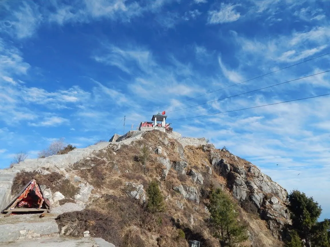
- Karoh Deota temple and archaeological ruins on the peak
- Starts from Tikkar Taal, a pair of lakes in the Morni Hills
Risks
- The path is mostly unpaved and rocky with loose gravel; wear shoes with good grip.
- Few facilities on the trail and patchy mobile coverage, so carry water and offline maps.
- Boating at Tikkar Taal was reported suspended in August 2025 after the boat stand was submerged, and Morni Adventure Park was reported closed for renovation since May 2025; check locally before you travel.
- Trail length and the exact start point are not published by the sources; the 20 km round trip here is our estimate from map positions, while TrekGo quotes only 3-4 hours round trip from a higher start near the Himachal border.
Know before you go
Questions
How high is Karoh Peak?
1,467 m (4,813 ft) per Wikipedia and TrekGo. The Imperial Gazetteer of India recorded about 1,499 m, but later Survey of India measurements put it roughly 30 m lower.
How long does the Karoh Peak hike take?
TrekGo says roughly 3 to 4 hours round trip, depending on the starting point; the trek typically begins near Tikkar Taal or higher up near the Himachal Pradesh border. No trail length is published.
What is the best time for the Karoh Peak trek?
September to March is recommended, with post-monsoon September and October especially scenic. April to June can be warm for strenuous hiking.
Is Karoh Peak suitable for beginners?
TrekGo calls it easy to moderate and suitable for beginners, families and casual hikers. Wikipedia lists the easiest route as a hike or scramble.
In an emergency
Save these numbers before you lose signal. Tap to call.
- 112All emergenciesIndia’s single emergency number — works in every state
- 108Ambulance
- 1077District disaster control room
You are in
District: PanchkulaHaryana
- Nearest hospital
- Panchkula / Chandigarh (not confirmed)
- Last ATM
- Morni or Panchkula (not confirmed)
- Phone network
- Mobile coverage can be patchy on the trail; download offline maps.
Before you set off
- Tell someone your route and when you will be back.
- Carry a charged phone and a power bank.
- Download an offline map of the route.
- Turn back if the weather turns bad — the mountain will wait.
Questions about Karoh Peak
No questions yet. Ask something and trekkers who have done it can answer.
Share your trek photo with #TreksAndTrails
I trekked this
Did Karoh Peak look different from this page? Tell us what changed and we will check it.
Where this comes from
Sources
Last reviewed:
- Karoh Peak — Wikipedia
- Morni Hills trekking guide — TrekGo
Photos: Manojkhurana, CC BY-SA 3.0; Patiala.singh, CC BY-SA 4.0; Patiala.singh, CC BY-SA 4.0; Manojkhurana, CC BY-SA 3.0