Karol Tibba Trek
Solan, Himachal Pradesh
Opens without signal on this phone, with the map file and checklist. Saved for offline →
- Max altitude
- 2,240 m
- Days
- 1 day
- Distance
- 14 km
- Difficulty
- Moderate
A short day hike of about 12-14 km return, but it climbs roughly 750 m from Chambaghat on a steep path, and the forest trail above Jarash is easy to lose; there is no drinking water on the way.
Photos
On the trail
The route
Day by day
Day 1 · highest point
Chambaghat → Chambaghat (via Jarash, Pandava Cave and Karol Tibba summit)
1,500 m → 2,240 m → 1,500 m
Ups and downs
Altitude profile
Where it is
Map
Trailhead and high point only — not a recorded track. Use it with a proper map.
Weather
Next 5 days on the trail
Live forecast for the trailhead and the high point. Mountain weather changes fast — check again on the morning you start.
Trailhead · Chambaghat
at 1,500 mLoading forecast…
High point · Karol Tibba summit
at 2,240 mLoading forecast…
Each day: high / low °C · rain mm and chance · snow cm · wind km/h
Weather data: Open-Meteo.comModel forecast, not an official warning. For alerts follow IMD and the local administration.
Plan the trip
How to reach
- Trailhead
- Chambaghat (nearest town: Solan)
- Nearest railway
- Solan (Kalka-Shimla railway); Kalka for broad-gauge trains
- Nearest airport
- Shimla (Jubbarhatti) Airport; Chandigarh Airport for more flights
- By road
- Solan (about 6 km by taxi or auto to the Rani Lakshmi Bai roundabout at Chambaghat); Chandigarh (about 70 km to Solan on NH-5); Shimla (about 48 km to Solan)
- Drive
- About 2 h from Chandigarh
Plan the trip
Permits and fees
We could not confirm the current permit rules and fees from an official source. Check with the local forest department or tourism office before you go.
Plan the trip
Cost
Self-guided
₹200–2,000
With an operator
₹4,890–5,500
Per person, ex-Solan. Guided price published October 2026: Great Adventure ₹4,890 + 2% GST (plus ₹200 certificate and ₹280 insurance) for a 2-day version with a camp at Karol Maidan; we found no second operator price. Self-guided is an estimate: a taxi or auto from Solan to Chambaghat and back, snacks and water, and an optional local guide from Jarash village.
Gear
Top picks for this trek
The gear that matters most on this route, chosen from its altitude, season and risks.
 Ad · affiliate link
 Ad · affiliate link
 Ad · affiliate link
 Ad · affiliate link
 Ad · affiliate link
- Ad · affiliate link
 Ad · affiliate link
 Ad · affiliate link
Store buttons open a search on that store, not a product we picked. As an Amazon Associate we earn from qualifying purchases. Photos show the kind of item, not a specific product. Affiliate disclosure
Packing checklist
Matched to this trek: altitude, season, days and the risks on the route.
Packed 0 of 24
Monsoon months (Sep): pack everything in plastic or a dry bag and wear shoes with good grip.
Tick each item as it goes in the bag.
Know before you go
Good to know
- Mobile network
- Mobile coverage is good in Solan and Chambaghat; we could not confirm signal in the forest above Jarash, so do not rely on it.
- Last ATM
- Solan town (also Chambaghat on the highway)
- Nearest hospital
- Regional Hospital, Solan
- Water
- No drinking-water sources along the trail; carry about 3 litres per person. Water may be available only at the temple near the top.
Highlights
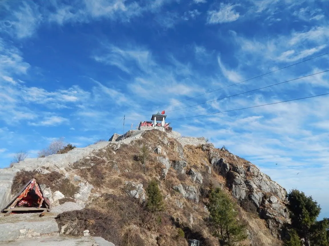
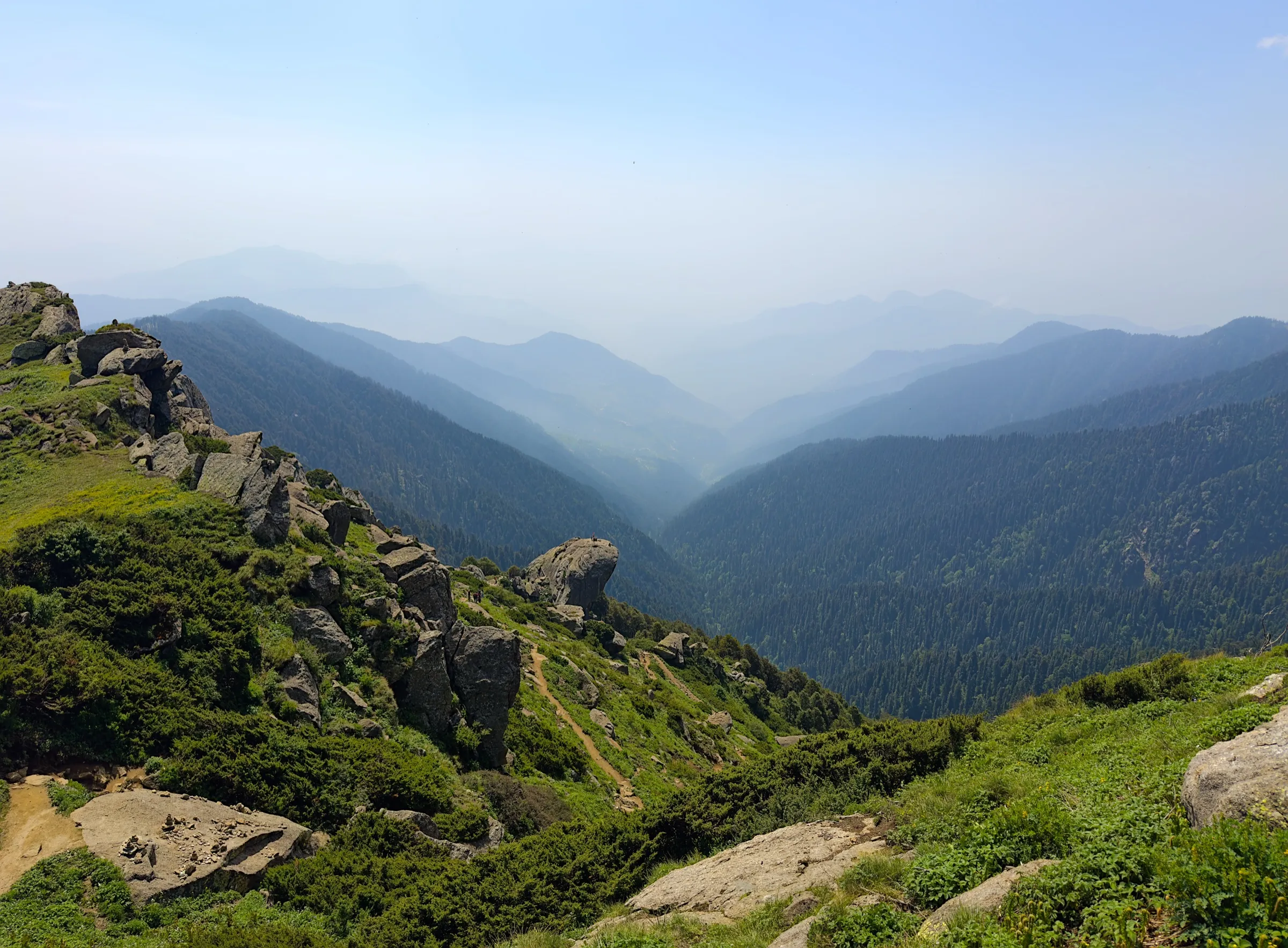
- The highest point in Solan district, with a bird's-eye view of Solan town and Jarash village
- Darshan at the Karol temple of Mata Kali beside the summit, and the Pandava Cave (Pandav Gufa) near the top
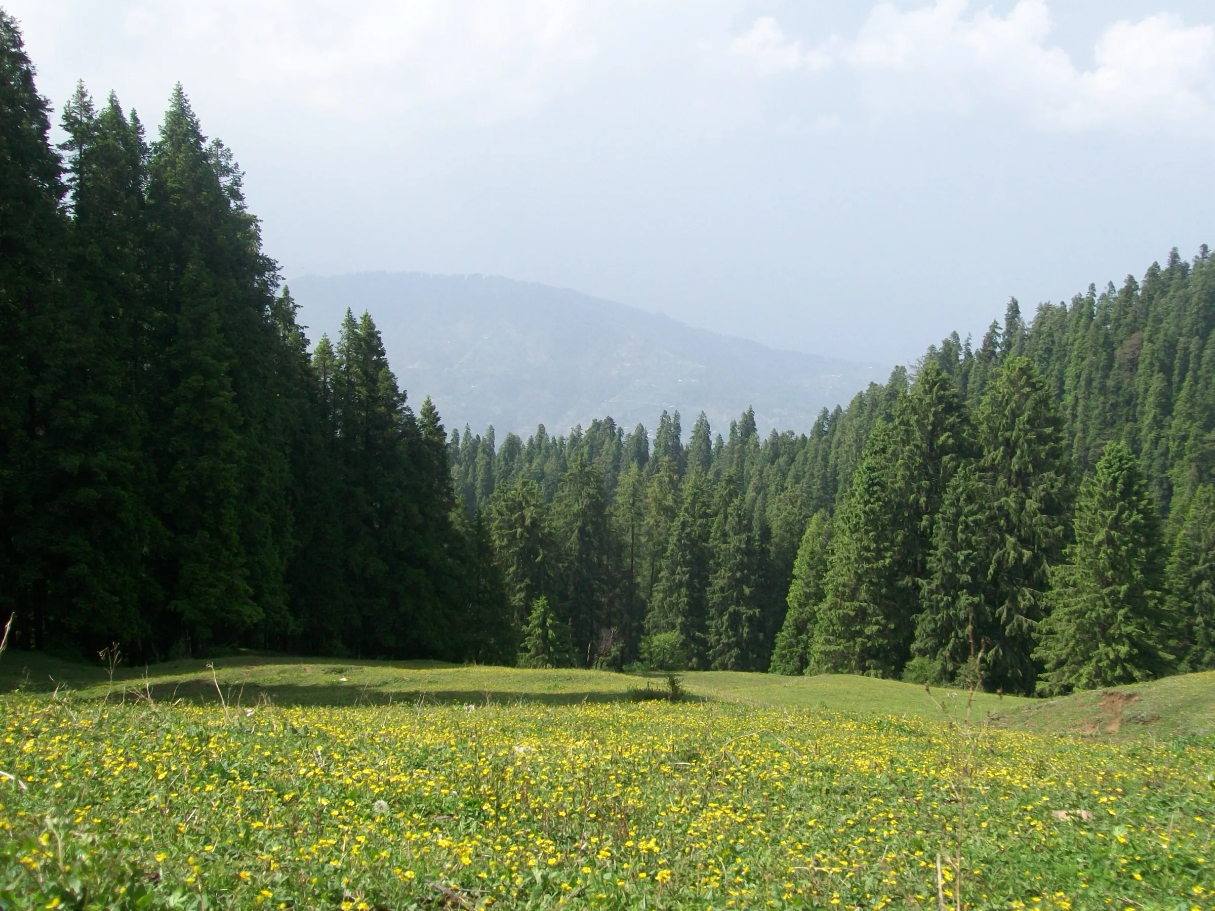
- Dense oak and pine forest above Jarash, the only village on the route
- Views across to the Churdhar range on clear days
Risks
- The forest trail above Jarash is easy to lose; the Indiahikes author got lost on four attempts before reaching the cave. Start early, stay on the main path and ask villagers in Jarash for the way or a guide.
- Pandava Cave is dark and branches deeper inside; it is unexplored beyond the first section. Carry a torch and go only a short way in.
- Bhotia dogs in Jarash village can be aggressive; walk past calmly.
- Leopard and other wildlife live in the forest; do not trek alone after dark.
- There is quicksand around the small ponds on the mountain, which freeze in winter; visit them only with a local.
- Monsoon rain (July-August) makes the steep forest path slippery; no source we found recommends these months.
Know before you go
Questions
Where does the Karol Tibba trek start?
Most trekkers start from Chambaghat, about 6 km from Solan town on the highway: get off at the Rani Lakshmi Bai roundabout and take the small road up the hill past a Gurudwara to Jarash village. Steeper alternative routes start from Basal and from Dedgharat, about 16 km from Solan towards Shimla.
How long is the trek and can it be done in a day?
Yes. Indiahikes calls it a short 7 km trek to the cave that can be done in a day without camping. TravelTriangle gives about 12 km and 8 hours for the full day; Great Adventure sells a 14 km, 2-day version with a camp at Karol Maidan.
How high is Karol Tibba?
About 2,240 m. OpenStreetMap lists the summit at 2,248 m and satellite terrain reads about 2,241 m; trek pages quote 2,225-2,260 m.
What are the rules for entering Pandava Cave?
The temple caretakers ask visitors to enter barefoot, without leather items, and not to have taken alcohol or non-vegetarian food. Local katha says the Pandavas stayed in this cave during their agyatvas. The cave is dark and branches inside, so carry a torch and do not go deep.
When is the best time to trek Karol Tibba?
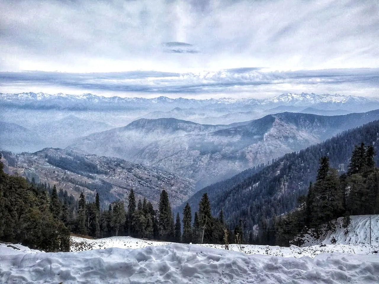
Spring (March-May) and autumn (September-November) give the best weather and clearest views. Winter is cold and foggy but doable; avoid the July-August monsoon, when the path is slippery.
In an emergency
Save these numbers before you lose signal. Tap to call.
- 112All emergenciesIndia’s single emergency number — works in every state
- 108Ambulance
- 1077District disaster control room
You are in
District: SolanHimachal Pradesh
- Nearest hospital
- Regional Hospital, Solan
- Last ATM
- Solan town (also Chambaghat on the highway)
- Phone network
- Mobile coverage is good in Solan and Chambaghat; we could not confirm signal in the forest above Jarash, so do not rely on it.
Before you set off
- Tell someone your route and when you will be back.
- Carry a charged phone and a power bank.
- Download an offline map of the route.
- Turn back if the weather turns bad — the mountain will wait.
Questions about Karol Tibba
No questions yet. Ask something and trekkers who have done it can answer.
Share your trek photo with #TreksAndTrails
I trekked this
Did Karol Tibba look different from this page? Tell us what changed and we will check it.
Where this comes from
Sources
Last reviewed:
- Pandava Cave Trek (documented trek by Aman Mehta) — Indiahikes
- 5 Best Spots For Trekking In Solan Valley — TravelTriangle
- Karol Tibba Trek — Great Adventure
- Pandava Cave and Karol Tibba Trek | Route, History & Best Time — TrekUpIndia
- Karol Tibba and Pandava Cave trek — smartData Enterprises (staff trip report)
- Karol Tibba (natural=peak, ele 2248) — OpenStreetMap
Photos: 502hsuya, CC0; Bhanu Sharma Solan, CC BY-SA 3.0