Churdhar Trek
Sirmaur, Himachal Pradesh
Opens without signal on this phone, with the map file and checklist. Saved for offline →
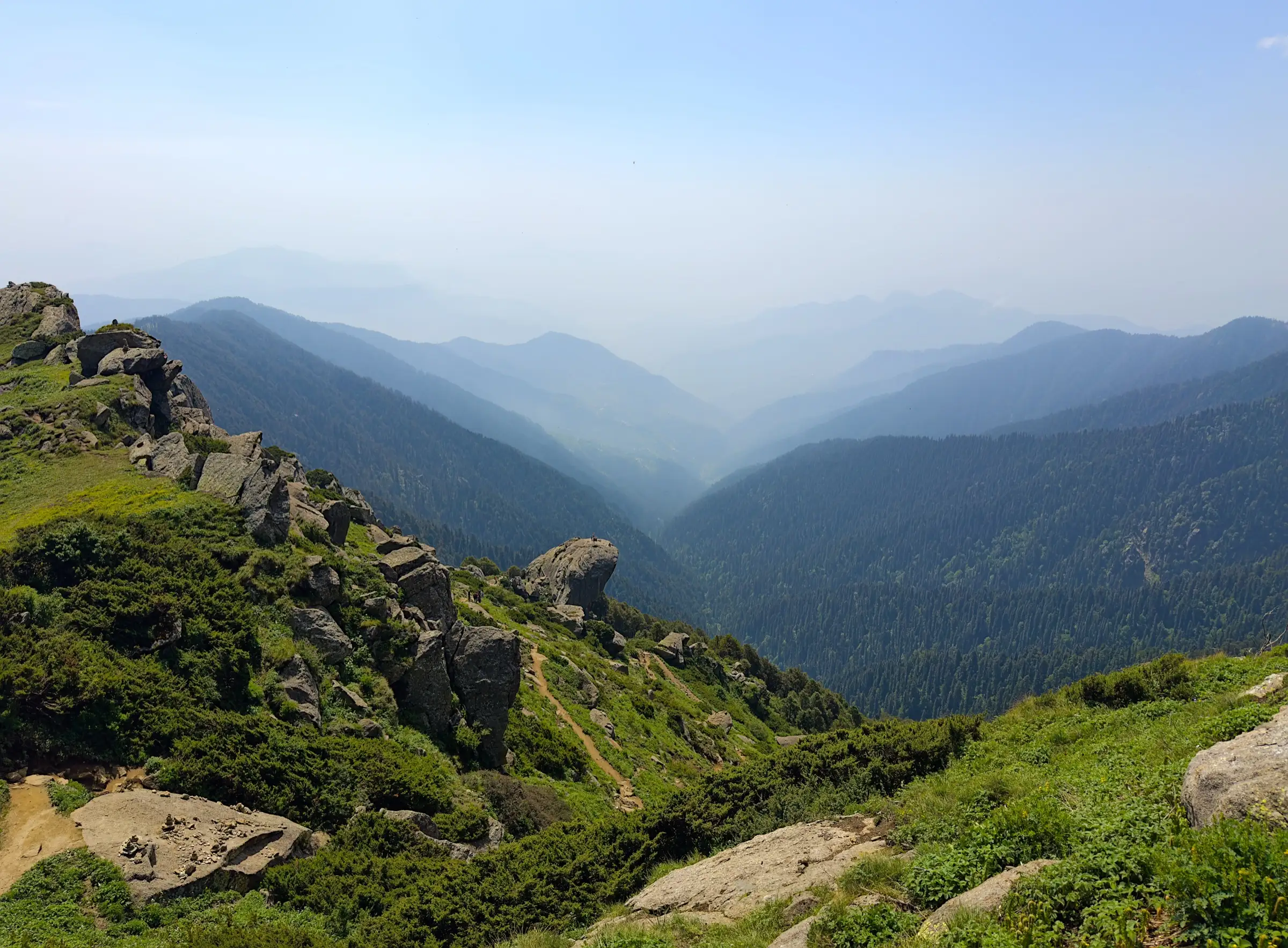
- Max altitude
- 3,647 m
- Days
- 3 days
- Distance
- 32 km
- Difficulty
- Moderate
No technical climbing, but about 1,500 m of height gain from Nohradhar and a long summit day of about 18 km; the last stretch to the summit is a steep scramble over large boulders, and wind and fog are common on the open ridge.
Photos
On the trail
The route
Day by day
Day 1
Nohradhar → Jamnala
2,175 m → 2,855 m
Day 2 · highest point
Jamnala → Jamnala (via Teesri, Chureshwar temple and Churdhar summit)
2,855 m → 3,647 m → 2,855 m
Day 3
Jamnala → Nohradhar
2,855 m → 2,175 m
Ups and downs
Altitude profile
Where it is
Map
Trailhead and high point only — not a recorded track. Use it with a proper map.
Weather
Next 5 days on the trail
Live forecast for the trailhead and the high point. Mountain weather changes fast — check again on the morning you start.
Trailhead · Nohradhar (Nauradhar)
at 2,175 mLoading forecast…
High point · Churdhar summit
at 3,647 mLoading forecast…
Each day: high / low °C · rain mm and chance · snow cm · wind km/h
Weather data: Open-Meteo.comModel forecast, not an official warning. For alerts follow IMD and the local administration.
Plan the trip
How to reach
- Trailhead
- Nohradhar (Nauradhar)
- Nearest railway
- Solan (Kalka-Shimla line); Chandigarh or Kalka for broad gauge
- Nearest airport
- Chandigarh Airport (Dehradun is the other option)
- By road
- Chandigarh (about 130 km by road via Solan and Rajgarh); Solan by bus to Rajgarh, then a direct bus to Nohradhar; Chopal (Shimla district) to Sarain for the shorter northern route
- Drive
- About 5 h from Chandigarh
Plan the trip
Permits and fees
We could not confirm the current permit rules and fees from an official source. Check with the local forest department or tourism office before you go.
Plan the trip
Cost
Self-guided
₹1,500–4,000
With an operator
₹4,725–8,000
Per person, ex-Chandigarh. Guided prices published in October 2026: Himalayan Hikers ₹7,500 + 5% GST + ₹120 insurance, Chandigarh to Nauradhar (3 days; forest permit and entry fee not included); Himtrek ₹4,500 + GST with reporting at Nohradhar (4 days). Self-guided is our estimate: buses Chandigarh-Solan-Rajgarh-Nohradhar both ways, food at the trail shops and temple bhandara, a dharamshala or own tent, and the Forest Department yatra/entry fee that news reports put at ₹20-100 for visitors from outside Himachal.
Gear
Top picks for this trek
The gear that matters most on this route, chosen from its altitude, season and risks.
 Ad · affiliate link
 Ad · affiliate link
 Ad · affiliate link
 Ad · affiliate link
 Ad · affiliate link
 Ad · affiliate link
 Ad · affiliate link
 Ad · affiliate link
Store buttons open a search on that store, not a product we picked. As an Amazon Associate we earn from qualifying purchases. Photos show the kind of item, not a specific product. Affiliate disclosure
Packing checklist
Matched to this trek: altitude, season, days and the risks on the route.
Packed 0 of 34
Nights near 3,647 m can drop close to freezing even in summer. Pack one more warm layer than you think.
Tick each item as it goes in the bag.
Know before you go
Good to know
- Mobile network
- Intermittent mobile signal on the trail; operators say BSNL works best.
- Last ATM
- Nohradhar, but trekkers report it is closed on Sundays and holidays, so carry cash from Solan or Rajgarh.
- Nearest hospital
- Only basic care around Nohradhar; for serious cases go down to Solan or Nahan (check current facilities locally).
- Water
- A tap at Jamnala and several streams between Jamnala and Teesri, though only a few run clear; temple area has water in season. Treat or boil all stream water.
Highlights
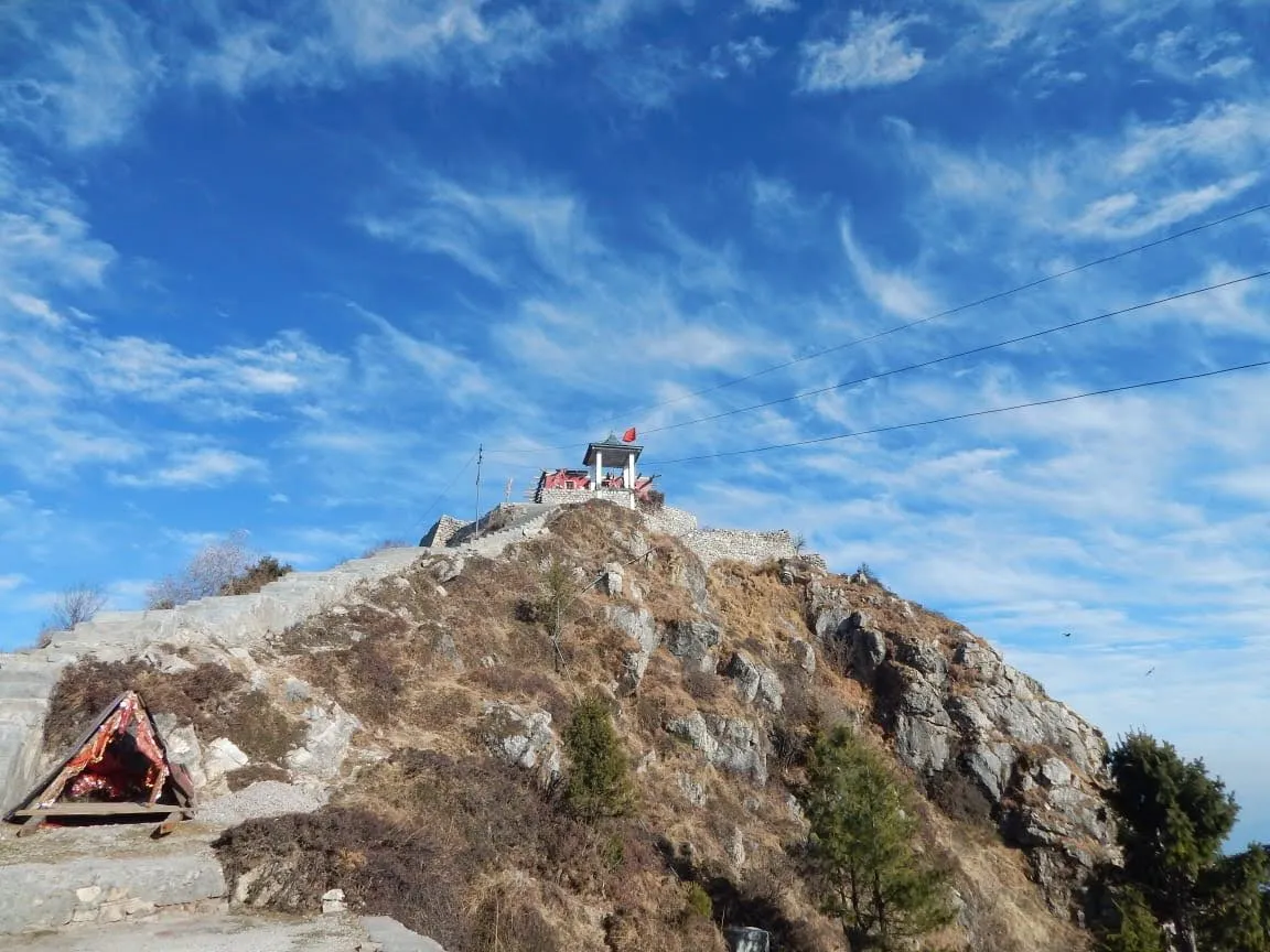
- The 3,647 m summit of Churdhar, the highest peak of the outer Himalaya, with a murti of Bhagwan Shiva on top
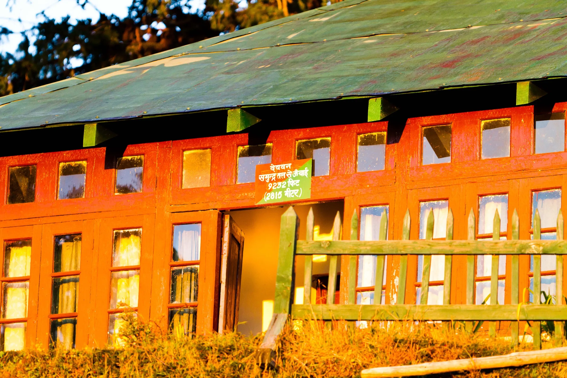
- Darshan at the deodar-roofed temple of Shri Shirgul Maharaj (Chureshwar Mahadev) just below the summit
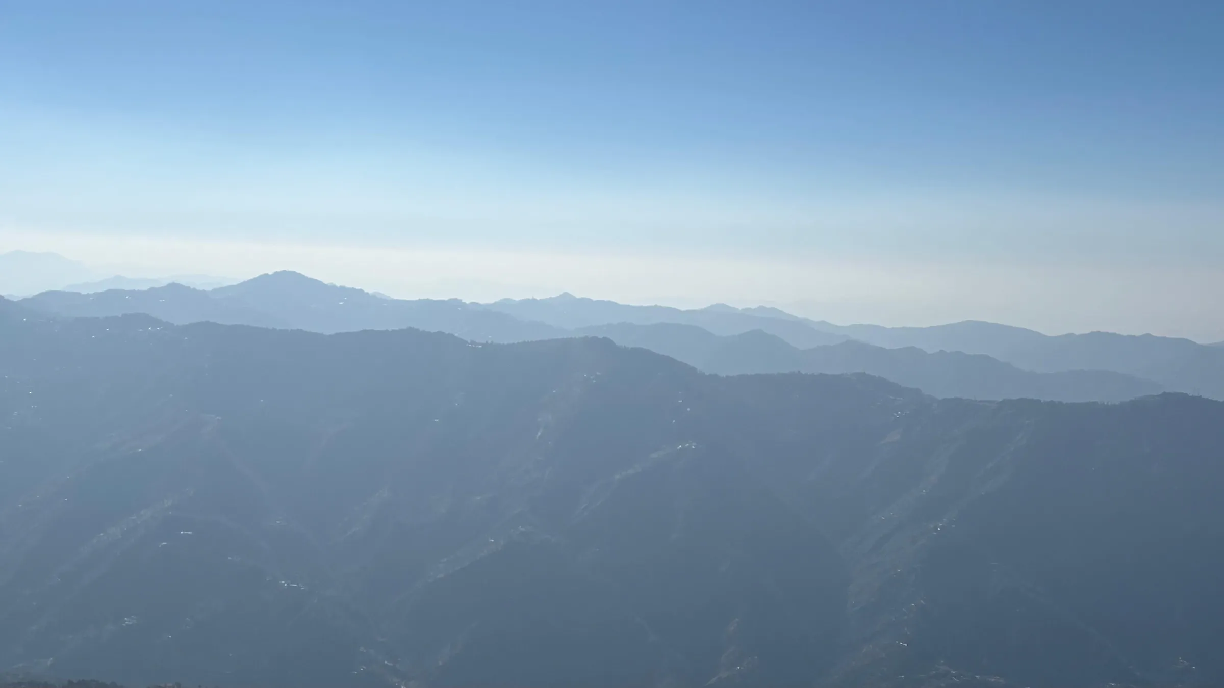
- On clear days a view north to the Badrinath and Kedarnath peaks and south over the plains
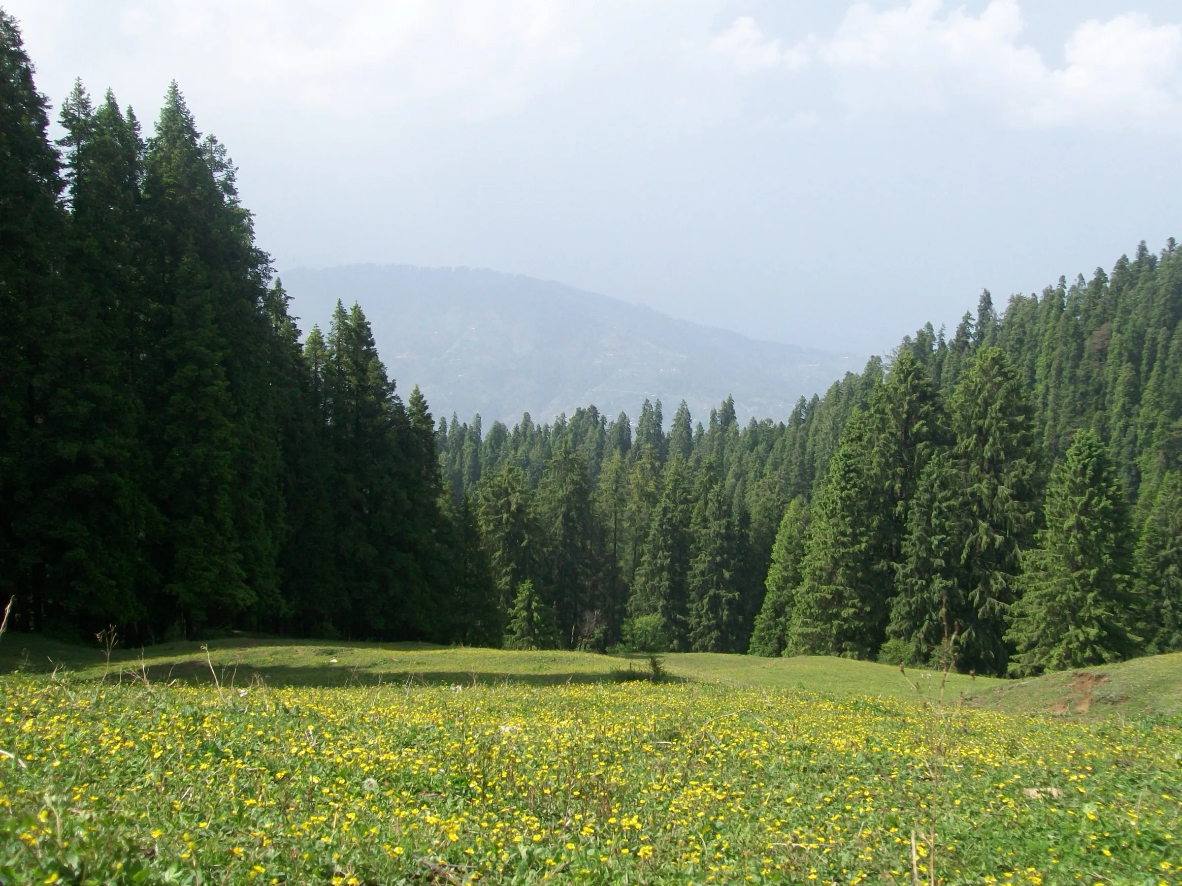
- Dense deodar and oak forest of the Churdhar Wildlife Sanctuary, home to the monal, koklass and kalij pheasants
- George Everest took astronomical readings of the Himalaya from this peak around 1834
Risks
- The trail is closed in winter (December to March) by order of the Sangrah administration; people caught in snow have died and lost their way, and the administration warns of legal action. Ask locally before going in April, as the temple stays closed until some time in April.
- The final climb from the temple to the summit is a steep boulder scramble; take it slowly and avoid it in rain, ice or high wind.
- Fog in the thick forest makes it easy to lose the trail, and GPS can be unreliable there; several side paths near Nohradhar confuse first-timers.
- Monsoon (July-August) rain makes the trail slippery and most operators advise against trekking then.
- Cold, windy nights at Jamnala and Teesri even in summer; temperatures can fall to a few degrees above zero.
Know before you go
Questions
How long is the Churdhar trek from Nohradhar?
About 16 km each way by the popular route (Nohradhar - Jamnala - Teesri - Chureshwar temple - summit), so roughly 32 km in all. The Sirmaur and Wikipedia pages give about 18 km one way. Most people take two to three days; strong local walkers do it with one night at Jamnala or the temple dharamshala.
When is the Churdhar trek open?
From about April-May to November. The temple kapat close in winter and the Sangrah administration closes the walk from December, with the temple staying closed until April. May-June and September-November are the best months; avoid the July-August monsoon.
Is Churdhar suitable for beginners?
Operators rate it easy-moderate to moderate and sell it as a beginner's weekend trek from Chandigarh, but summit day is long (about 18 km) and the last 1-2 km to the top is a steep boulder climb, so you need good fitness and proper trekking shoes.
Is there a fee or permit for Churdhar?
The trek is inside the Churdhar Wildlife Sanctuary. News reports in 2025 said the Forest Department charges a yatra/entry fee of about ₹20-100 per person, with pilgrims from Himachal exempted. We could not confirm the current fee from an official source, so check at the forest check-post at Nohradhar.
Is there a shorter route to Churdhar?
Yes. The Sarain route from the Chopal side (Shimla district) is about 8 km one way but steeper. Nohradhar in Sirmaur is the most used approach, and a third route comes up from Haripurdhar.
In an emergency
Save these numbers before you lose signal. Tap to call.
- 112All emergenciesIndia’s single emergency number — works in every state
- 108Ambulance
- 1077District disaster control room
You are in
District: SirmaurHimachal Pradesh
- Nearest hospital
- Only basic care around Nohradhar; for serious cases go down to Solan or Nahan (check current facilities locally).
- Last ATM
- Nohradhar, but trekkers report it is closed on Sundays and holidays, so carry cash from Solan or Rajgarh.
- Phone network
- Intermittent mobile signal on the trail; operators say BSNL works best.
Before you set off
- Tell someone your route and when you will be back.
- Carry a charged phone and a power bank.
- Download an offline map of the route.
- Turn back if the weather turns bad — the mountain will wait.
Questions about Churdhar
No questions yet. Ask something and trekkers who have done it can answer.
Share your trek photo with #TreksAndTrails
I trekked this
Did Churdhar look different from this page? Tell us what changed and we will check it.
Where this comes from
Sources
Last reviewed:
- Churdhar | District Sirmaur, Government of Himachal Pradesh — District Administration Sirmaur (official)
- Churdhar Trek — Bikat Adventures
- Churdhar Trek - The best trek near Chandigarh — Himalayan Hikers
- Churdhar Trek | Summit the Highest Peak of Outer Himalayas — Himtrek
- Churdhar Peak Trek (documented trek) — Indiahikes
- Churdhar Sanctuary — Wikipedia
- Churdhar temple in Sirmaur closed for devotees (20 Jan 2024) — The Tribune
- Churdhar trekking banned for six months (28 Nov 2019) — The Tribune
- Row over Churdhar yatra tax on as out-of-state devotees protest (25 May 2025) — The Tribune
Photos: UnpetitproleX, CC BY-SA 4.0; UnpetitproleX, CC BY 4.0; Hariom5463, CC BY-SA 3.0; Ashish Gupta from Noida, India, CC BY 2.0