Shali Tibba Trek
Shimla, Himachal Pradesh
Opens without signal on this phone, with the map file and checklist. Saved for offline →
- Max altitude
- 2,872 m
- Days
- 1 day
- Distance
- 14 km
- Difficulty
- Easy
A short day hike of about 7 km each way on a well-defined stone trail through forest, but the middle section climbs steeply in a series of zig-zags (about 880 m of ascent), there is no water on the way, and operators quote 3-6 hours for the climb alone.
Photos
On the trail
The route
Day by day
Day 1 · highest point
Khatnol (drive from Shimla via Mashobra) → Khatnol (via Shali Mata Temple on Shali Tibba)
1,990 m → 2,872 m → 1,990 m
Ups and downs
Altitude profile
Where it is
Map
Trailhead and high point only — not a recorded track. Use it with a proper map.
Weather
Next 5 days on the trail
Live forecast for the trailhead and the high point. Mountain weather changes fast — check again on the morning you start.
Trailhead · Khatnol
at 1,990 mLoading forecast…
High point · Shali Tibba summit, Shali Mata (Bhima Kali) Temple
at 2,872 mLoading forecast…
Each day: high / low °C · rain mm and chance · snow cm · wind km/h
Weather data: Open-Meteo.comModel forecast, not an official warning. For alerts follow IMD and the local administration.
Plan the trip
How to reach
- Trailhead
- Khatnol (nearest town: Mashobra)
- Nearest railway
- Shimla (narrow gauge); Kalka for broad gauge
- Nearest airport
- Shimla Airport, Jubbarhatti; Chandigarh for most flights
- By road
- Shimla (about 30-48 km by taxi or infrequent local bus via Dhalli, Mashobra and Baldeyan to Khatnol, about 2-2.5 hours); Delhi (overnight bus to Shimla, about 9-10 hours)
- Drive
- About 5 h from Chandigarh
Plan the trip
Permits and fees
We could not confirm the current permit rules and fees from an official source. Check with the local forest department or tourism office before you go.
Plan the trip
Cost
Self-guided
₹300–2,500
With an operator
₹2,000–5,460
Per person, ex-Shimla. Being Himalayan's 2-night Mashobra package with the trek, cottage stay, meals, transfers and a local guide from Khatnol is ₹4,860 (groups of 6+) to ₹5,460 (groups of 4+). ToursByLocals lists a private guided day hike from Shimla hotels but shows no price; the ₹2,000 lower bound is our estimate for a hired local guide plus a shared taxi. Self-guided is an estimate: local bus Shimla-Khatnol at the low end, a shared taxi from Shimla (2-2.5 hours each way) at the high end, plus food and water.
Gear
Top picks for this trek
The gear that matters most on this route, chosen from its altitude, season and risks.
 Ad · affiliate link
 Ad · affiliate link
 Ad · affiliate link
 Ad · affiliate link
 Ad · affiliate link
- Ad · affiliate link
 Ad · affiliate link
 Ad · affiliate link
Store buttons open a search on that store, not a product we picked. As an Amazon Associate we earn from qualifying purchases. Photos show the kind of item, not a specific product. Affiliate disclosure
Packing checklist
Matched to this trek: altitude, season, days and the risks on the route.
Packed 0 of 24
Monsoon months (Jun, Sep): pack everything in plastic or a dry bag and wear shoes with good grip.
Tick each item as it goes in the bag.
Know before you go
Good to know
- Mobile network
- Not confirmed by our sources. Expect signal around Khatnol and on the open summit, and gaps in the forest on the north side.
- Last ATM
- Shimla or Mashobra; do not count on one in Khatnol
- Nearest hospital
- Civil Hospital Mashobra (listed by the Himachal trekking portal); Indira Gandhi Medical College, Shimla for serious cases
- Water
- None on the trail: Indiahikes says there are no water sources throughout the trek, so carry at least 2 litres per person from Khatnol.
Highlights
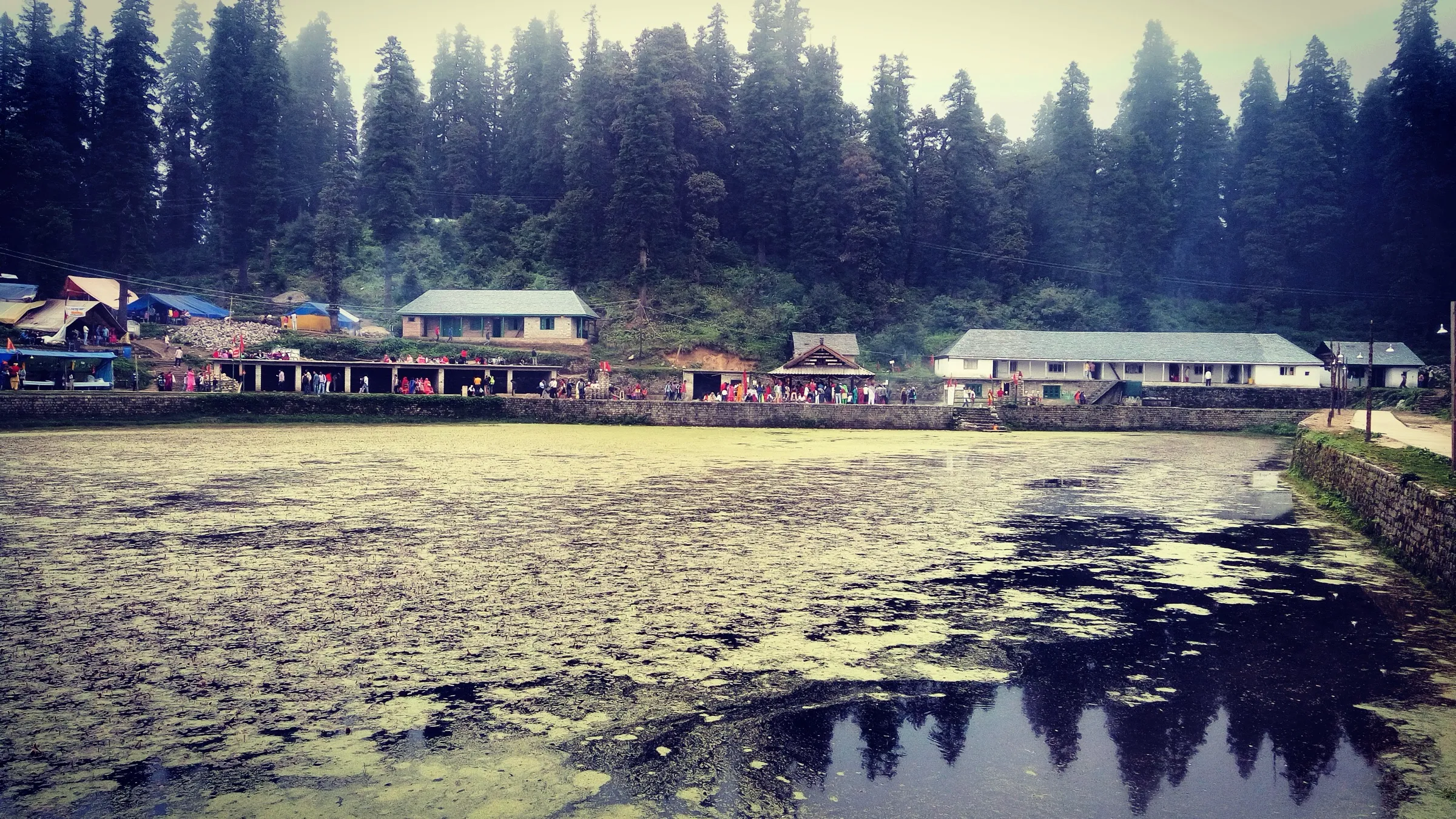
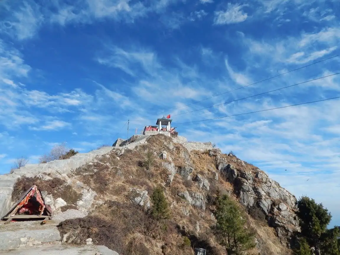
- Darshan of Shali Mata (Bhima Kali) at the Kath-Kuni temple that takes up almost the whole of the small summit
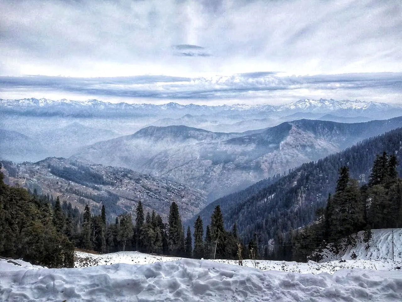
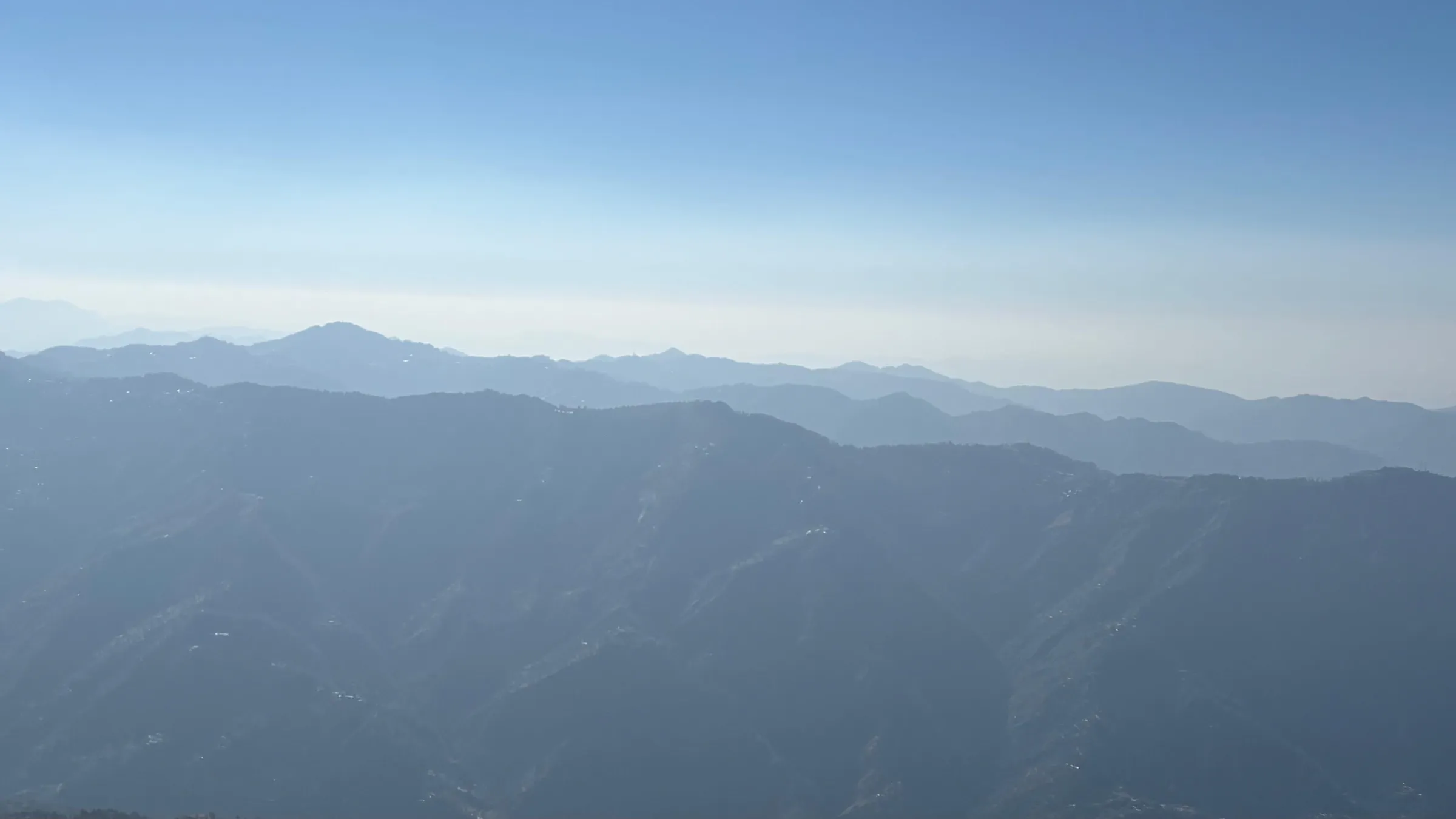
- A 360° view: Dhauladhar and Kullu peaks, Shrikhand Mahadev, Kinnaur Kailash and the Kinnaur ranges, Churdhar, and on clear days the Garhwal Himalaya from Bandarpoonch to Kedarnath
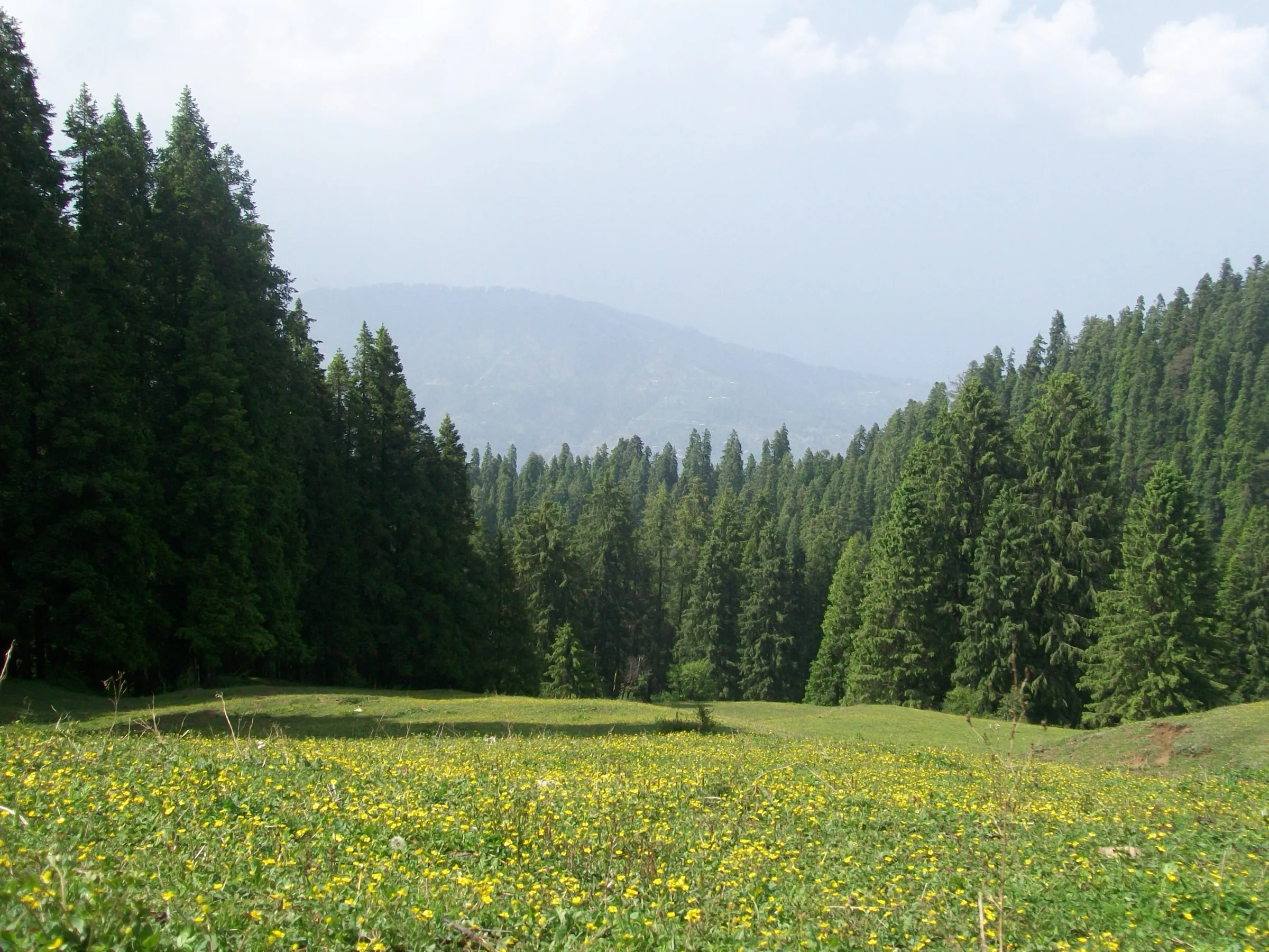
- Walking the stone path laid in 1936 by the Raja of Faridkot, still in good shape, through deodar, blue pine and oak forest
- The Satluj glinting in the Sunni valley at Tattapani far below the summit, with Shimla, Kasauli and Karol Tibba on the other side
Risks
- No water on the trail; carry all you need from Khatnol.
- The forest has leopards and other wildlife. Being Himalayan advises against walking alone in the evening or at night; start early and be down before dark.
- The steep middle section and the shortcuts between zig-zags are slippery in monsoon (July-August) and can be under snow in winter, when Wikipedia notes heavy snowfall on the peak.
- The new kuchcha road above Khatnol is in poor condition with almost no parking at its dead end; Being Himalayan advises parking at Khatnol.
- Navratri brings large crowds of devotees to the summit temple.
Know before you go
Questions
How long is the Shali Tibba trek?
About 7 km each way from Khatnol to the temple on the summit (Indiahikes, Wikipedia, Being Himalayan), so about 14 km in all. The climb takes 3-6 hours depending on pace and the descent about 2-3 hours, so it is done in one day.
Can you drive to the top of Shali Tibba?
No. Wikipedia says there is no direct motorable road to the temple. The road ends at Khatnol, and a rough kuchcha road now climbs about 2 km further up the ridge to a dead end with space for a few cars; from there you still walk the stone trail to the summit.
How high is Shali Tibba?
About 2,872 m (9,423 ft). The Himachal Pradesh trekking portal gives 2,865 m and operators 2,867-2,872 m.
Which temple is at the top of Shali Tibba?
The Shali Mata Temple of Bhima Kali, built in Kath-Kuni style. The temple katha tells that Mata's murti was brought from the Bhimakali Temple at Sarahan to Dalana village near Shimla, and that Mata then asked in a devotee's dream to be enshrined on the highest peak nearby so her blessings could reach far and wide. Devotees honour her as Rog Nashini, the remover of illness.
Can you stay overnight on Shali Tibba?
There are no hotels or guesthouses at the top. A pilgrims' sarai near the temple stairs can be used, with bedding arranged through the temple priest or caretaker beforehand; Indiahikes suggests carrying your own sleeping bag and food. Most trekkers return the same day.
Do I need a permit for the Shali Tibba trek?
We found no official permit or fee. The Himachal Pradesh tourism department lists the route as 'Khatnol-Shali Peak' on its trekking portal (trekking.hp.gov.in); check there or with the forest office in Shimla before camping.
In an emergency
Save these numbers before you lose signal. Tap to call.
- 112All emergenciesIndia’s single emergency number — works in every state
- 108Ambulance
- 1077District disaster control room
You are in
District: ShimlaHimachal Pradesh
- Nearest hospital
- Civil Hospital Mashobra (listed by the Himachal trekking portal); Indira Gandhi Medical College, Shimla for serious cases
- Last ATM
- Shimla or Mashobra; do not count on one in Khatnol
- Phone network
- Not confirmed by our sources. Expect signal around Khatnol and on the open summit, and gaps in the forest on the north side.
Before you set off
- Tell someone your route and when you will be back.
- Carry a charged phone and a power bank.
- Download an offline map of the route.
- Turn back if the weather turns bad — the mountain will wait.
Questions about Shali Tibba
No questions yet. Ask something and trekkers who have done it can answer.
Share your trek photo with #TreksAndTrails
I trekked this
Did Shali Tibba look different from this page? Tell us what changed and we will check it.
Where this comes from
Sources
Last reviewed:
- Khatnol-Shali Peak (HP trekking portal, archived 2 Aug 2022) — Himachal Pradesh Tourism Department (official)
- Shali Tibba Trek — Indiahikes
- Shali Mata Temple — Wikipedia
- Shali Tibba Trek — Being Himalayan
- Shali Tibba Trekking package 2N/3D — Being Himalayan
- Full-day Shimla countryside hiking tour (guide Vishal D) — ToursByLocals
- Shali Tibba - Bhimakali Abode — Tripoto (Neeraj Dhiman)
- Prominent treks near Shimla — Trawell.in
Photos: Kirtibhatia123, CC BY 4.0; 502hsuya, CC0; 502hsuya, CC0; 502hsuya, CC0