Hatu Peak Trek
Shimla, Himachal Pradesh
Opens without signal on this phone, with the map file and checklist. Saved for offline →
- Max altitude
- 3,400 m
- Satellite terrain suggests about 3,189 m
- Days
- 1 day
- Distance
- 14 km
- Difficulty
- Easy
A single 14 km day of about 7-8 hours with roughly 700 m of climbing; the forest ridge section above Gujjar Kotha is steep, and in winter the trail can be under snow, but no technical ground.
Photos
On the trail
The route
Day by day
Day 1 · highest point
Narkanda → Narkanda (via Gujjar Kotha and Hatu Peak)
2,708 m → 3,400 m → 2,708 m
Ups and downs
Altitude profile
Where it is
Map
Trailhead and high point only — not a recorded track. Use it with a proper map.
Weather
Next 5 days on the trail
Live forecast for the trailhead and the high point. Mountain weather changes fast — check again on the morning you start.
Trailhead · Narkanda
at 2,708 mLoading forecast…
High point · Hatu Peak (Hatu Mata temple)
at 3,400 mLoading forecast…
Each day: high / low °C · rain mm and chance · snow cm · wind km/h
Weather data: Open-Meteo.comModel forecast, not an official warning. For alerts follow IMD and the local administration.
Plan the trip
How to reach
- Trailhead
- Narkanda
- Nearest railway
- Shimla (narrow-gauge line from Kalka); Kalka for broad-gauge trains
- Nearest airport
- Shimla Airport, Jubbarhatti (about 23 km south of Shimla); Chandigarh for more flights
- By road
- Shimla (about 62 km on the Shimla-Rampur highway; buses towards Rampur stop at Narkanda)
- Drive
- About 2.5 h from Shimla
Plan the trip
Permits and fees
We could not confirm the current permit rules and fees from an official source. Check with the local forest department or tourism office before you go.
Plan the trip
Cost
Self-guided
₹500–2,000
With an operator
₹1,600–3,000
Per person, ex-Narkanda. Only one current guided price was found: Treks and Trails India (treksandtrails.org, an unrelated operator) lists ₹1,600 for a 1-night, 2-day Hatu Peak trek with camping, guide, three meals and entry charges; the upper end is our estimate for a private local guide. Self-guided is an estimate: the bus or shared taxi from Shimla, tea and food at Gujjar Kotha, and an optional local guide. A night's stay in Narkanda is extra.
Gear
Top picks for this trek
The gear that matters most on this route, chosen from its altitude, season and risks.
 Ad · affiliate link
 Ad · affiliate link
 Ad · affiliate link
 Ad · affiliate link
 Ad · affiliate link
 Ad · affiliate link
 Ad · affiliate link
 Ad · affiliate link
Store buttons open a search on that store, not a product we picked. As an Amazon Associate we earn from qualifying purchases. Photos show the kind of item, not a specific product. Affiliate disclosure
Packing checklist
Matched to this trek: altitude, season, days and the risks on the route.
Packed 0 of 31
Snow on the trail in Feb–Mar: microspikes, gaiters and a warm layer are not optional.
Tick each item as it goes in the bag.
Know before you go
Good to know
- Mobile network
- Narkanda town receives all major networks; coverage on the forest ridge is not confirmed.
- Last ATM
- Not confirmed by our sources; carry cash from Shimla.
- Nearest hospital
- Not confirmed by our sources; Shimla for serious cases.
- Water
- Water is not readily available on the ascent; carry enough from Narkanda. The shepherd huts at Gujjar Kotha serve tea and Maggi from morning to sunset.
Highlights
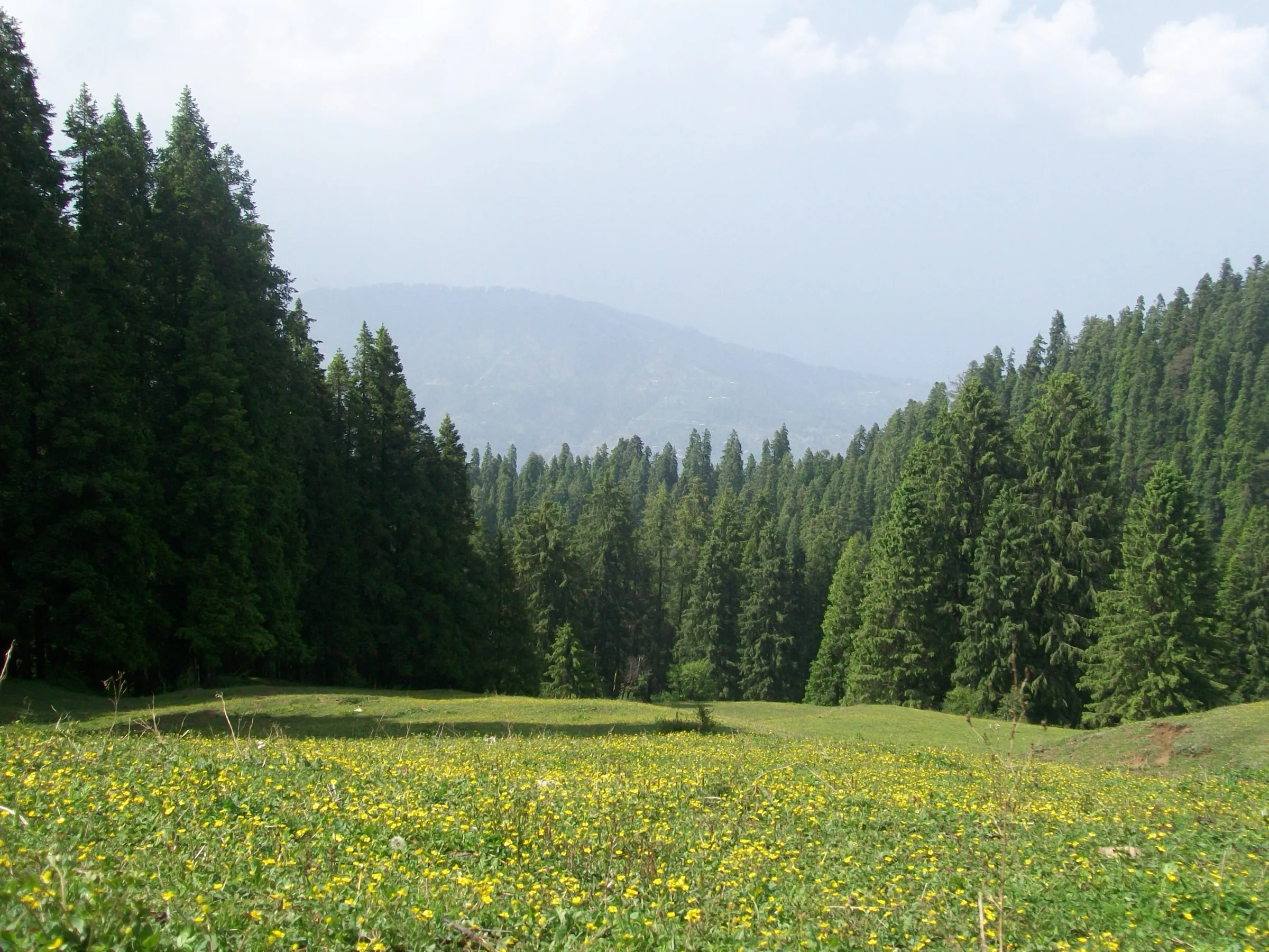
- Tall old pine and oak forest on the ridge between Narkanda and the summit
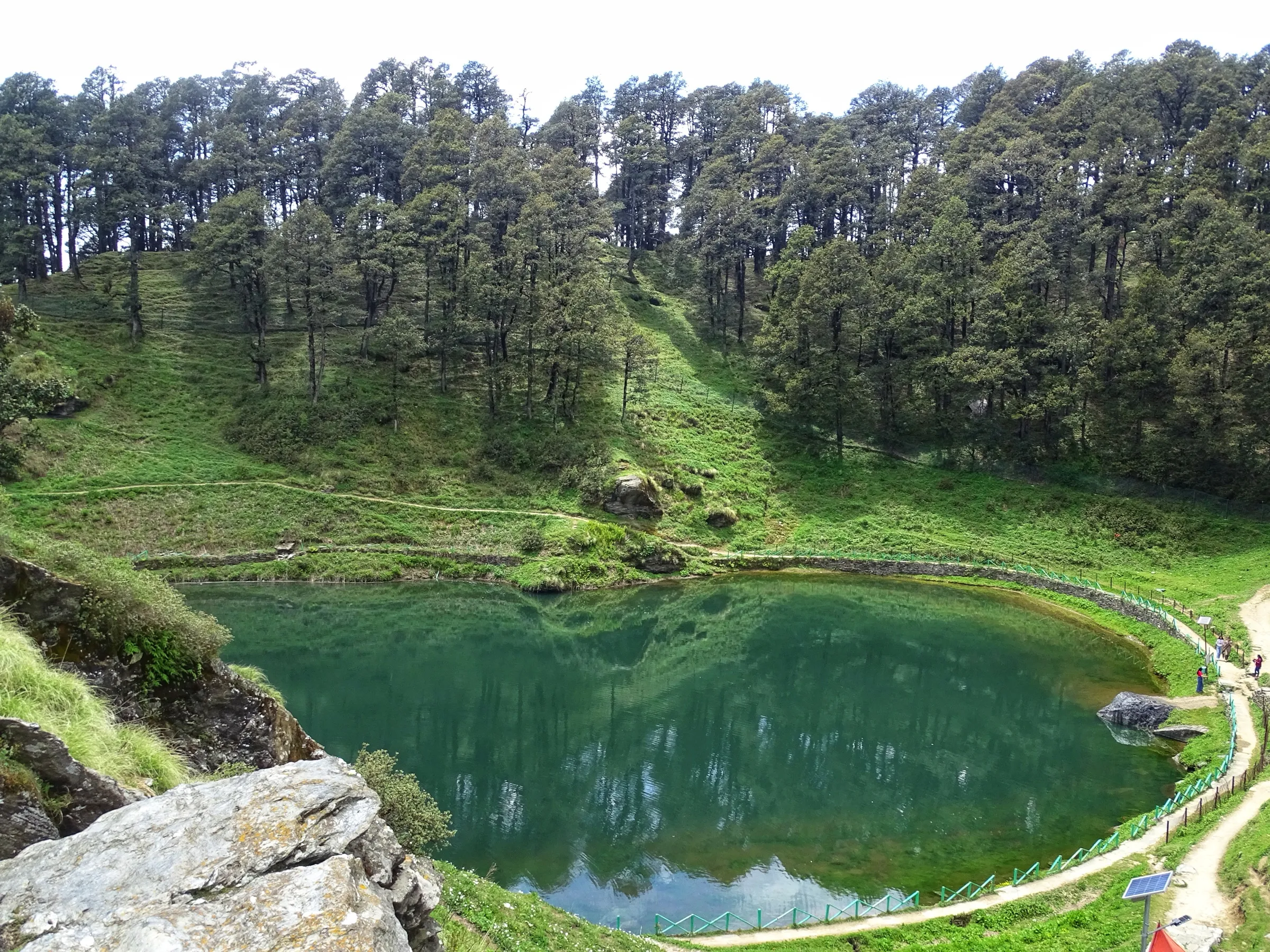
- First view of the snow ranges of the greater Himalaya at Gujjar Kotha, a clearing with shepherd huts and a small pond
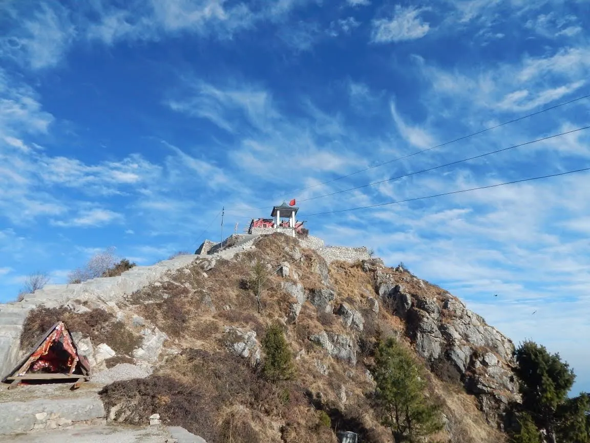
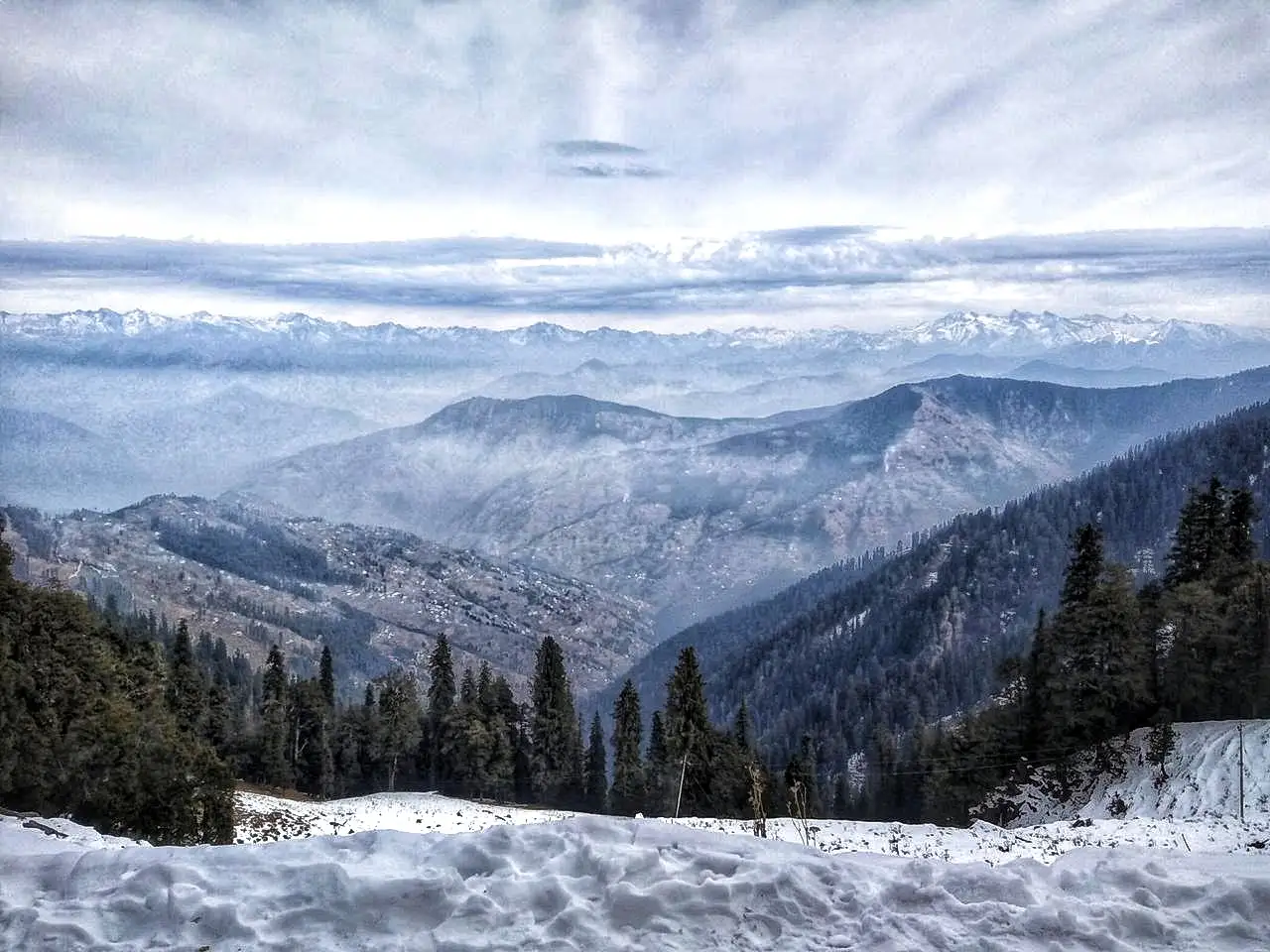
- Panoramic Himalayan view from the 3,400 m top of Hatu hill, the highest point above Narkanda
- Darshan at the Hatu Mata temple, a shrine revered by local people, built in traditional Himachali style
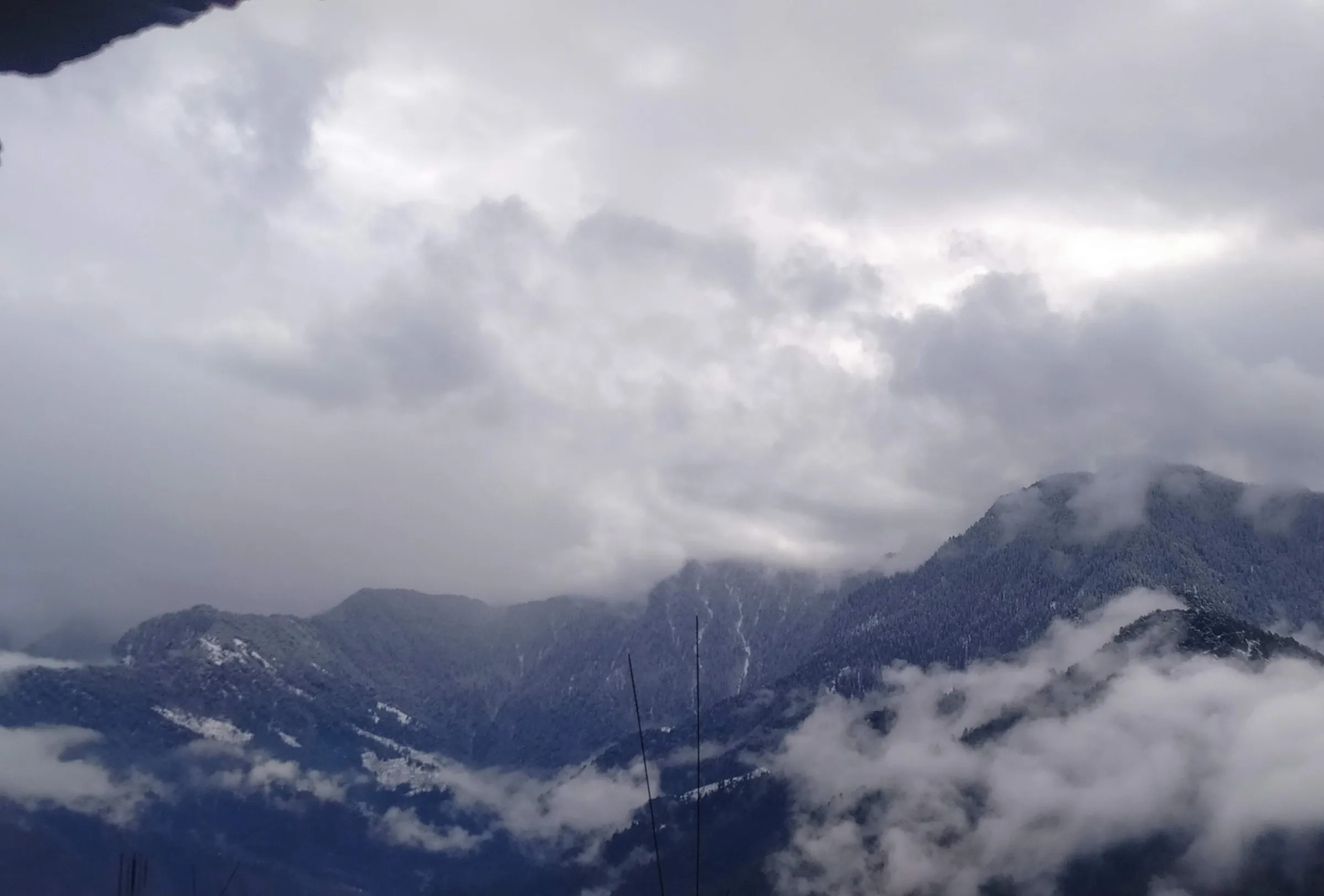
- Fresh snow on the trail in late winter, from about February to March
Risks
- A motor road reaches almost to the top and the first part of the walk follows it, so watch for vehicles; the forest trail crosses the road several times.
- In winter the route can be under deep snow and one operator says it is blocked by snow; start early and carry good shoes and warm layers.
- July to September rain makes roads slippery and brings a risk of mudslides.
- The side route from Jor Bagh to Tani Jubber lake passes dense forest with Himalayan black bears; take a local guide there.
- No reliable water on the climb; carry enough for a 7-8 hour day.
Know before you go
Questions
How long is the Hatu Peak trek and how much time does it take?
It is a day hike from Narkanda of about 14 km out and back (about 7 km each way), taking 7-8 hours including time at the top.
Can you drive to Hatu Peak instead of walking?
Yes, a road from Narkanda reaches close to the summit and taxis go up. The trek uses the road for the first few kilometres to Gujjar Kotha, then climbs the forested ridge on a walking trail to the top. On the way down you can walk back the same way or follow the motor road.
When is the best time for snow on Hatu Peak?
Operators suggest February and March, especially early March, for fresh snow on the trail. Summer is pleasant for hiking, and July to September monsoon rain makes the roads slippery.
Is the Hatu Peak trek suitable for beginners?
Yes. Indiahikes rates it easy and Treks and Trails India calls it suitable for novice trekkers, but the ridge section is steep and you gain about 700 m, so a basic level of fitness helps.
Can I camp on Hatu Peak?
Sources say there is no camping along the trail to the peak; stay in Narkanda, where campsites and hotels are available. Indiahikes notes that some trekkers continue an hour south-east to Jor Bagh meadow to camp overnight.
In an emergency
Save these numbers before you lose signal. Tap to call.
- 112All emergenciesIndia’s single emergency number — works in every state
- 108Ambulance
- 1077District disaster control room
You are in
District: ShimlaHimachal Pradesh
- Nearest hospital
- Not confirmed by our sources; Shimla for serious cases.
- Last ATM
- Not confirmed by our sources; carry cash from Shimla.
- Phone network
- Narkanda town receives all major networks; coverage on the forest ridge is not confirmed.
Before you set off
- Tell someone your route and when you will be back.
- Carry a charged phone and a power bank.
- Download an offline map of the route.
- Turn back if the weather turns bad — the mountain will wait.
Questions about Hatu Peak
No questions yet. Ask something and trekkers who have done it can answer.
Share your trek photo with #TreksAndTrails
I trekked this
Did Hatu Peak look different from this page? Tell us what changed and we will check it.
Where this comes from
Sources
Last reviewed:
- Hatu Peak Trek — Indiahikes
- Hatu Peak Trek With Camping, Narkanda — Treks and Trails India (treksandtrails.org)
- Hatu Peak Trek Narkanda — Treks and Trails India (treksandtrails.org)
- Hatu Peak — SummitPost
- Top 10 things to do in Narkanda — The Hosteller
- Weekend Trip to Narkanda — Ghumakkar (trip report)
Photos: Vaibhav Garg, CC BY-SA 4.0; Ashish Gupta from Noida, India, CC BY 2.0; Himalayanlens, CC BY-SA 4.0