Kuppar Bugyal Trek
Shimla, Himachal Pradesh
Opens without signal on this phone, with the map file and checklist. Saved for offline →
- Max altitude
- 3,200 m
- Satellite terrain suggests about 3,324 m
- Days
- 3 days
- Distance
- 19 km
- Difficulty
- Easy
Short days and only about 550 m of height gain from Kharapathar, so the Himachal trekking portal and operators grade it easy. The climb above Giri Ganga is steep, though, and the forest trail is unmarked and forks often, so a local guide is strongly advised.
Photos
On the trail
The route
Day by day
Day 1
Kharapathar → Giri Ganga camp site (Giri Ganga temple)
2,650 m → 2,800 m
Day 2 · highest point
Giri Ganga camp site → Giri Ganga camp site (via Kuppar Bugyal and Kuppar top)
2,800 m → 3,200 m → 2,800 m
Day 3
Giri Ganga camp site → Kharapathar
2,800 m → 2,650 m
Ups and downs
Altitude profile
Where it is
Map
Trailhead and high point only — not a recorded track. Use it with a proper map.
Weather
Next 5 days on the trail
Live forecast for the trailhead and the high point. Mountain weather changes fast — check again on the morning you start.
Trailhead · Kharapathar (Khada Pathar, Khadapatthar)
at 2,650 mLoading forecast…
High point · Kuppar top
at 3,200 mLoading forecast…
Each day: high / low °C · rain mm and chance · snow cm · wind km/h
Weather data: Open-Meteo.comModel forecast, not an official warning. For alerts follow IMD and the local administration.
Plan the trip
How to reach
- Trailhead
- Kharapathar (Khada Pathar, Khadapatthar)
- Nearest railway
- Shimla (Kalka-Shimla narrow gauge); Kalka or Chandigarh for broad gauge
- Nearest airport
- Shimla (Jubbarhatti) Airport; Chandigarh Airport has more flights
- By road
- Shimla (about 70 km via Theog and Kotkhai on the Shimla-Rohru road); HRTC buses from Shimla towards Rohru stop at Kharapathar; Kharapathar to Giri Ganga temple by a rough dirt road (walk, or a local 4x4 taxi)
- Drive
- About 6 h from Chandigarh
Plan the trip
Permits and fees
We could not confirm the current permit rules and fees from an official source. Check with the local forest department or tourism office before you go.
Plan the trip
Cost
Self-guided
₹2,000–6,000
With an operator
₹5,922–9,702
Per person, ex-Shimla. Only one operator publishes a price: Being Himalayan's 3N/4D Giriganga-Kuppar camping package is ₹5,922 per person for 6 people, ₹6,867 for 4 and ₹9,702 for 2 (includes one hotel night in Shimla and two camp nights at Giri Ganga); Himalayan Hikers sells a 3-day Shimla-to-Shimla trip but shows no price. Self-guided is our estimate: HRTC bus Shimla-Kharapathar both ways, an optional local taxi to Giri Ganga temple (travel guides quote about ₹500-800 one way), a local guide from Kharapathar, food, and a room at Kharapathar or your own tent.
Gear
Top picks for this trek
The gear that matters most on this route, chosen from its altitude, season and risks.
 Ad · affiliate link
 Ad · affiliate link
 Ad · affiliate link
 Ad · affiliate link
 Ad · affiliate link
 Ad · affiliate link
 Ad · affiliate link
 Ad · affiliate link
Store buttons open a search on that store, not a product we picked. As an Amazon Associate we earn from qualifying purchases. Photos show the kind of item, not a specific product. Affiliate disclosure
Packing checklist
Matched to this trek: altitude, season, days and the risks on the route.
Packed 0 of 34
Nights near 3,200 m can drop close to freezing even in summer. Pack one more warm layer than you think.
Tick each item as it goes in the bag.
Know before you go
Good to know
- Mobile network
- Signal drops soon after Kharapathar; expect no mobile network on the trail or the meadow.
- Last ATM
- Travel guides report no ATM at Kharapathar; carry enough cash from Shimla.
- Nearest hospital
- The Himachal trekking portal lists the hospital at Jubbal as the nearest; a travel guide names Rohru (about 30 km from Kharapathar). Check current facilities locally.
- Water
- Streams of the Giri and water at the Giri Ganga temple; no reliable water on the steep climb above the temple, only a spring near the top. Carry at least 2 litres and treat all water.
Highlights
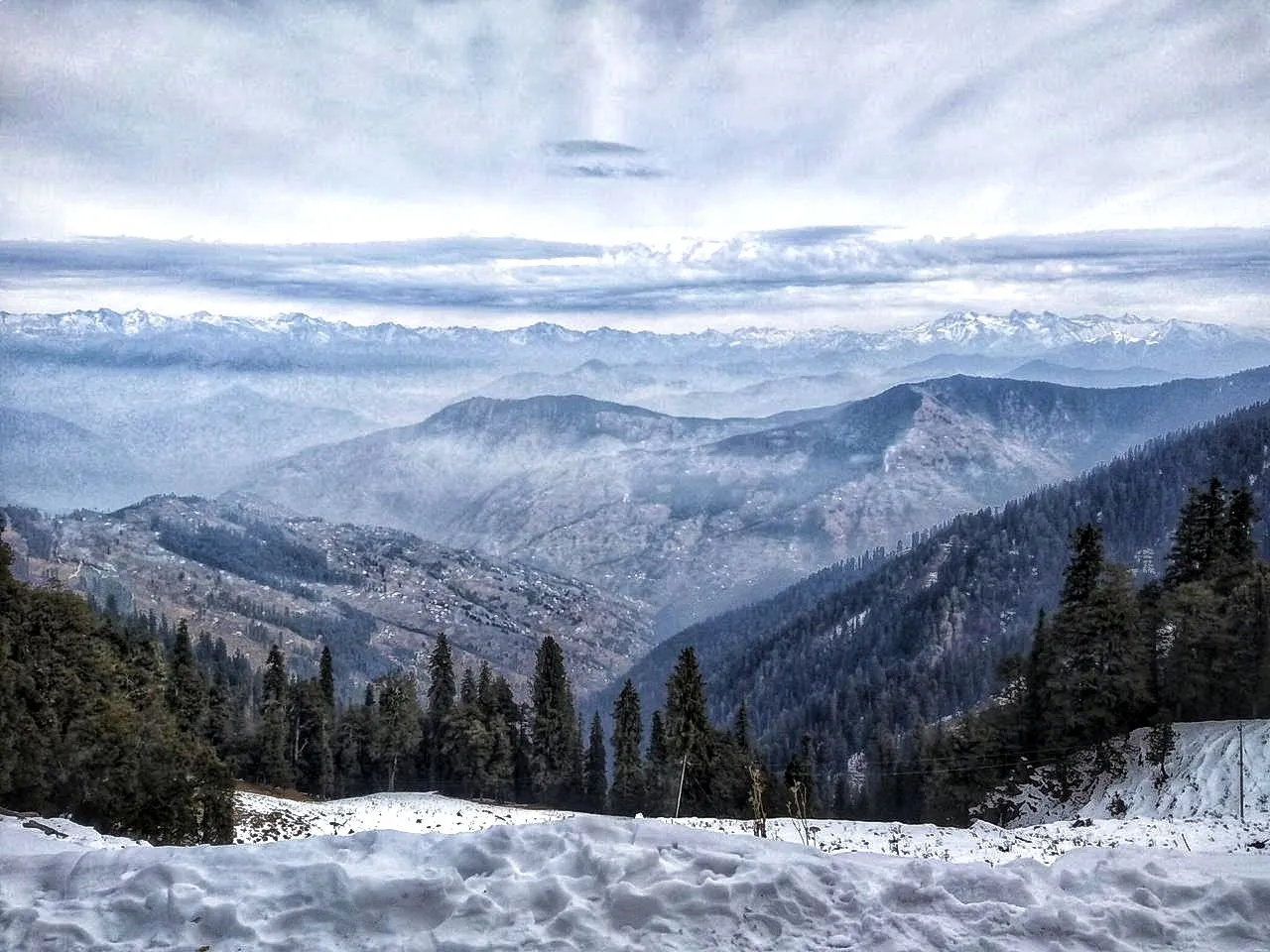
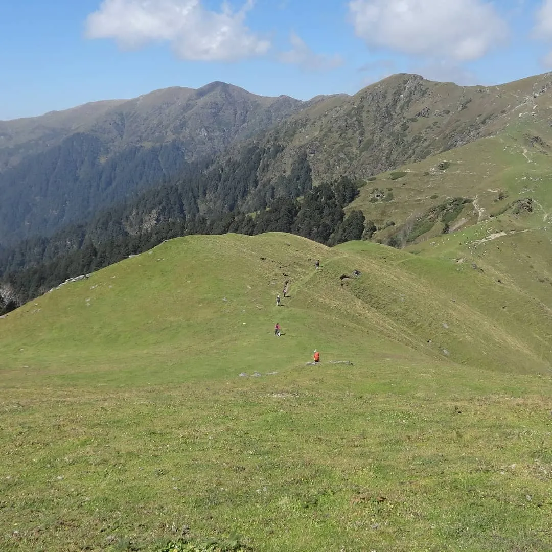
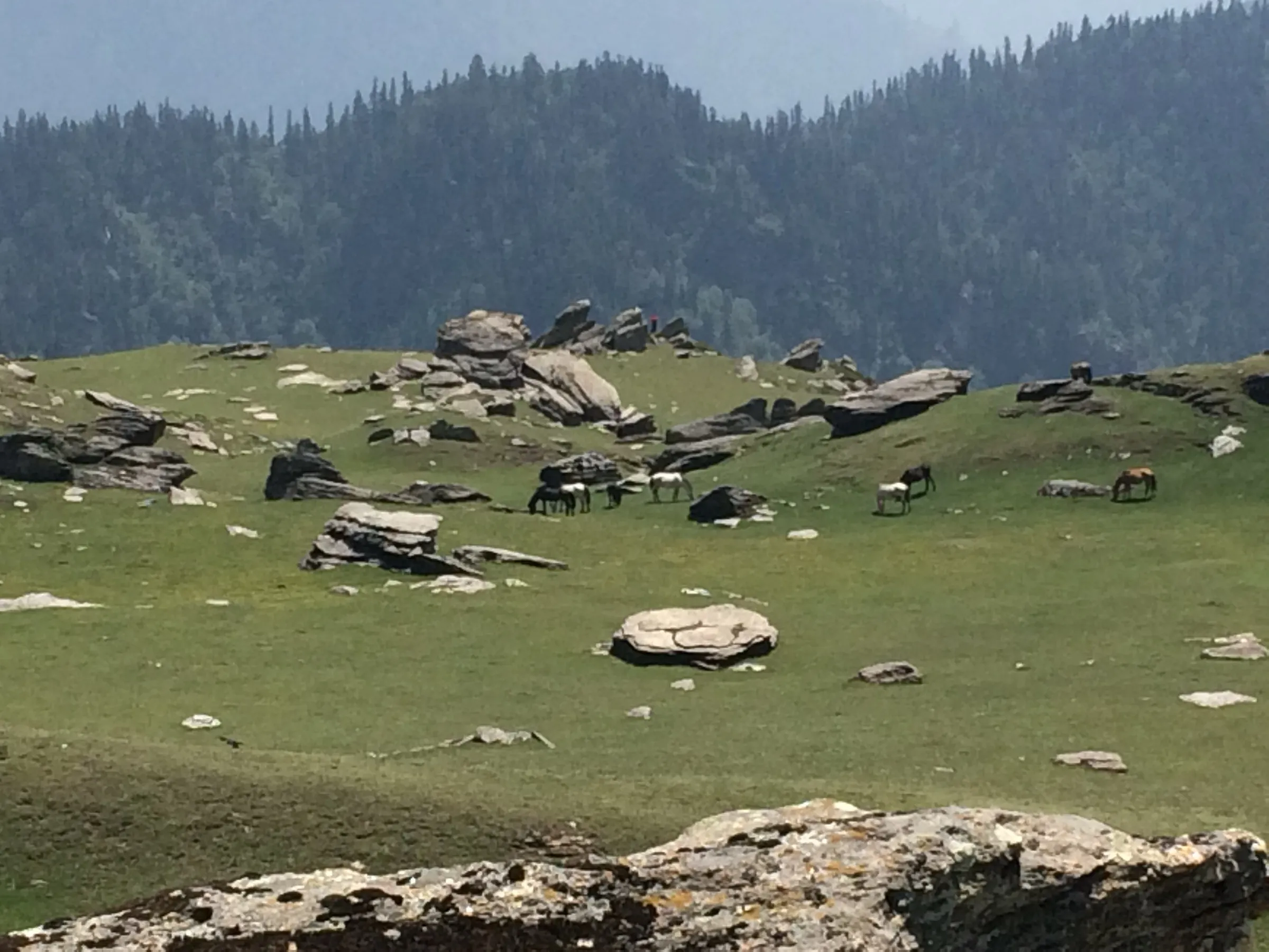
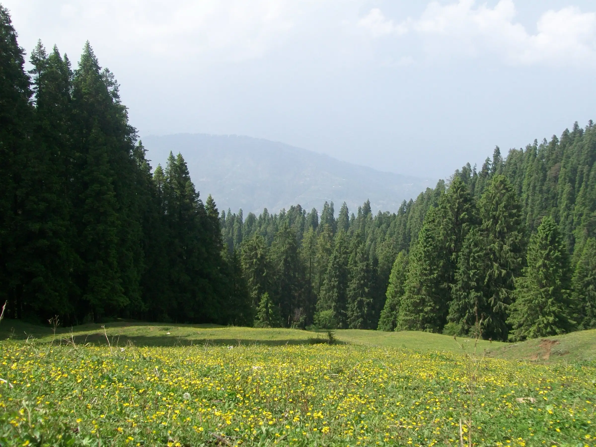
- Kuppar Bugyal, an open grazing meadow on top of the Pabbar valley ridge, usually with nobody else on it
- On clear days a wide view of snow peaks, including Swargarohini and Bandarpunch in Garhwal and the Kinnaur ranges
- Darshan at the old Giri Ganga temple, built by the Jubbal rulers, near the source of the Giri river
- Dense deodar, oak and rhododendron forest of the Giri reserve forest, home to goral, black bear and monal
- A short, quiet weekend trek within reach of Shimla
Risks
- The forest trail above Giri Ganga has no markers and forks repeatedly; in cloud it is easy to lose the way. Hire a local guide at Kharapathar or carry an offline map and GPS track.
- Black and brown bears and leopards live in this forest; Indiahikes reports the Forest Department once stopped camping on the meadow after bear sightings. Ask the forest staff at Kharapathar before camping.
- Camping on the meadow needs Forest Department permission, according to travel guides; check at Kharapathar.
- Monsoon (July-August): the dirt road turns to slush, the trail is slippery, leeches are common and views are usually lost in cloud; one guide does not recommend it.
- December to March the meadow and much of the forest are under snow and the road to Giri Ganga is often impassable; treat it as a winter trek for experienced groups only.
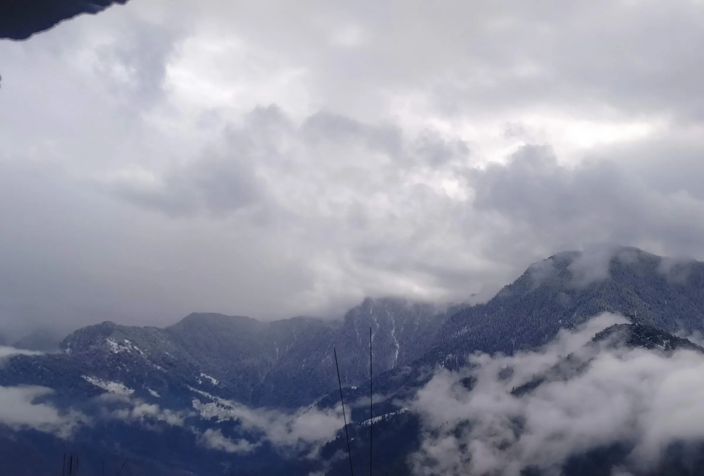
- Weather changes fast on the open meadow; hail and snow have been reported even in April. Nights near the top can drop below freezing.
Know before you go
Questions
How long is the Kuppar Bugyal trek?
From Kharapathar it is about 6 km on a rough forest road to Giri Ganga and then about 3 km of steep forest trail to the meadow, so roughly 9 km each way. Indiahikes and a recorded GPS route put the round trip at about 18 km; the Himachal trekking portal's 3-day plan adds up to about 21 km.
How high is Kuppar Bugyal?
Most sources give about 3,200 m, and Indiahikes and other trekkers report that reading on their instruments. The Himachal trekking portal lists 11,000 ft (about 3,350 m), a GPS route gives 3,332 m, and satellite terrain data reads about 3,320 m for the top, so the true summit height is probably a little above 3,200 m.
Can Kuppar Bugyal be done in one day?
Yes, fit trekkers do it as a long day from Kharapathar, especially if they drive to Giri Ganga temple and start early. The usual plan is 2-3 days with a night at Giri Ganga, which also gives time to see sunset or sunrise from the top.
What is the best time for the Kuppar Bugyal trek?
April to June, when snow has cleared and flowers are out, and September to November, when post-monsoon air gives the clearest mountain views. Avoid July-August for rain, slush and leeches; in winter the trail is under snow.
Do I need a guide or permit?
No fixed trekking permit fee is published for this route. Camping on the meadow needs Forest Department permission, so ask at Kharapathar. A local guide is strongly recommended because the forest trail is unmarked.
In an emergency
Save these numbers before you lose signal. Tap to call.
- 112All emergenciesIndia’s single emergency number — works in every state
- 108Ambulance
- 1077District disaster control room
You are in
District: ShimlaHimachal Pradesh
- Nearest hospital
- The Himachal trekking portal lists the hospital at Jubbal as the nearest; a travel guide names Rohru (about 30 km from Kharapathar). Check current facilities locally.
- Last ATM
- Travel guides report no ATM at Kharapathar; carry enough cash from Shimla.
- Phone network
- Signal drops soon after Kharapathar; expect no mobile network on the trail or the meadow.
Before you set off
- Tell someone your route and when you will be back.
- Carry a charged phone and a power bank.
- Download an offline map of the route.
- Turn back if the weather turns bad — the mountain will wait.
Questions about Kuppar Bugyal
No questions yet. Ask something and trekkers who have done it can answer.
Share your trek photo with #TreksAndTrails
I trekked this
Did Kuppar Bugyal look different from this page? Tell us what changed and we will check it.
Where this comes from
Sources
Last reviewed:
- Giri-Kuppar | Trekking Management System, Government of Himachal Pradesh (archived 2 Aug 2022) — Government of Himachal Pradesh (Trekking Management System) (official)
- The Guide To Kuppar Bugyal Trek — Indiahikes
- Kuppar Bugyal Trek a Hidden Trek in the Pabbar Valley — Himalayan Hikers
- Kuppar Bugyal | Trek, Views, Camping, and Honest Guide — Travel Coffee
- Route: Kuppar Peak (India) — Fastest Known Time
- Giriganga – Kuppar Peak (Kuppar Bugyal) Camping Trail 3N/4D — Being Himalayan
Photos: Shamsher aulakh, CC BY-SA 4.0; Narender Sharma, Blue Particle Solutions, CC BY-SA 4.0; Narender Sharma, Blue Particle Solutions, CC BY-SA 4.0