Deoban Trek
Dehradun, Uttarakhand
Opens without signal on this phone, with the map file and checklist. Saved for offline →
- Max altitude
- 2,865 m
- Days
- 2 days
- Distance
- 15 km
- Difficulty
- Easy
A short two-day forest walk under 2,900 m with well-marked trails, but day 2 is about 11 km with steep climbs from Saraswati Campsite to Vyas Shikhar and no water after camp.
Photos
On the trail
The route
Day by day
Day 1
Lokhandi (Koti Kanasar temple) → Saraswati Campsite
2,550 m → 2,695 m → 2,497 m
Day 2 · highest point
Saraswati Campsite → Chakrata (via Vyas Shikhar and Deoban Forest Rest House)
2,497 m → 2,865 m → 2,190 m
Ups and downs
Altitude profile
Where it is
Map
Trailhead and high point only — not a recorded track. Use it with a proper map.
Weather
Next 5 days on the trail
Live forecast for the trailhead and the high point. Mountain weather changes fast — check again on the morning you start.
Trailhead · Lokhandi
at 2,550 mLoading forecast…
High point · Vyas Shikhar (Deoban Top)
at 2,865 mLoading forecast…
Each day: high / low °C · rain mm and chance · snow cm · wind km/h
Weather data: Open-Meteo.comModel forecast, not an official warning. For alerts follow IMD and the local administration.
Plan the trip
How to reach
- Trailhead
- Lokhandi (nearest town: Chakrata)
- Nearest railway
- Dehradun
- Nearest airport
- Jolly Grant Airport, Dehradun
- By road
- Dehradun via Vikasnagar, Kalsi and Chakrata to Lokhandi (about 108 km); Early-morning buses from Dehradun towards Tyuni pass Lokhandi (ask for Koti Kanasar Shiv Temple)
- Drive
- About 4 h from Dehradun
Plan the trip
Permits and fees
We could not confirm the current permit rules and fees from an official source. Check with the local forest department or tourism office before you go.
Plan the trip
Cost
Self-guided
₹1,500–3,500
With an operator
₹4,000–5,100
Guided prices ex-Dehradun: Himalaya Shelter lists ₹4,800 + 5% GST, The Crazy Mountaineers ₹3,999 (Dehradun–Lokhandi transport extra). Indiahikes quoted shared vehicles at ₹8,000 (Bolero) or ₹12,000 (Tempo Traveller) for the Dehradun pickup. Self-guided estimate ex-Dehradun covers bus fares to Lokhandi and back from Chakrata, a tent or guesthouse night, food and the forest entry fee.
Gear
Top picks for this trek
The gear that matters most on this route, chosen from its altitude, season and risks.
 Ad · affiliate link
 Ad · affiliate link
 Ad · affiliate link
 Ad · affiliate link
 Ad · affiliate link
- Ad · affiliate link
 Ad · affiliate link
 Ad · affiliate link
Store buttons open a search on that store, not a product we picked. As an Amazon Associate we earn from qualifying purchases. Photos show the kind of item, not a specific product. Affiliate disclosure
Packing checklist
Matched to this trek: altitude, season, days and the risks on the route.
Packed 0 of 25
Monsoon months (Sep): pack everything in plastic or a dry bag and wear shoes with good grip.
Tick each item as it goes in the bag.
Know before you go
Good to know
- Mobile network
- Not confirmed by our sources; expect signal around Chakrata and Lokhandi on the road, little or none inside the forest.
- Last ATM
- Chakrata (not confirmed by our sources); carry cash from Dehradun or Vikasnagar.
- Nearest hospital
- Chakrata has basic medical facilities; for anything serious, Vikasnagar or Dehradun (about 4 hours).
- Water
- Potable stream near Saraswati Campsite; no water sources on day 2 between camp and Vyas Shikhar, so fill all bottles at camp.
Highlights
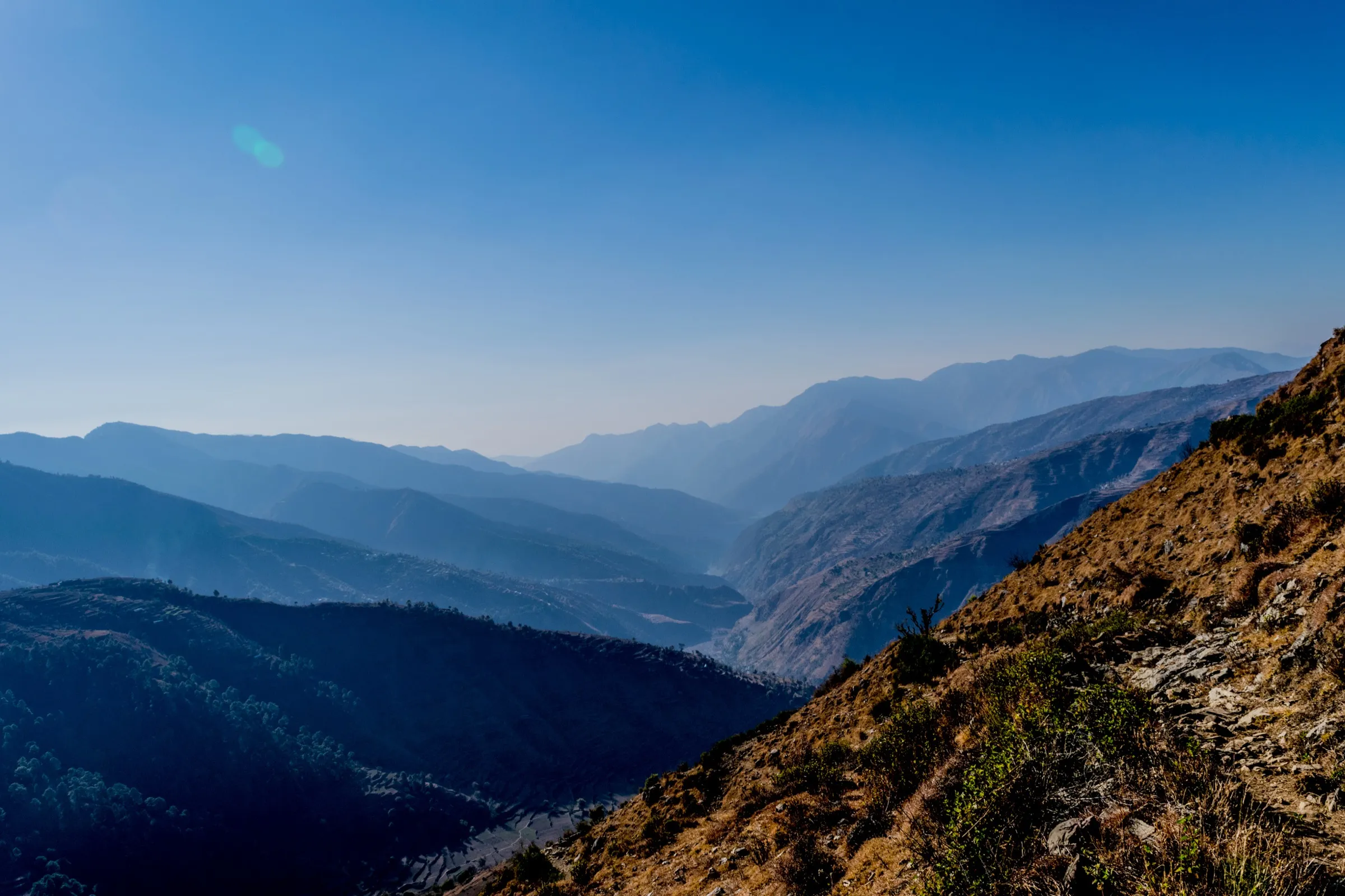
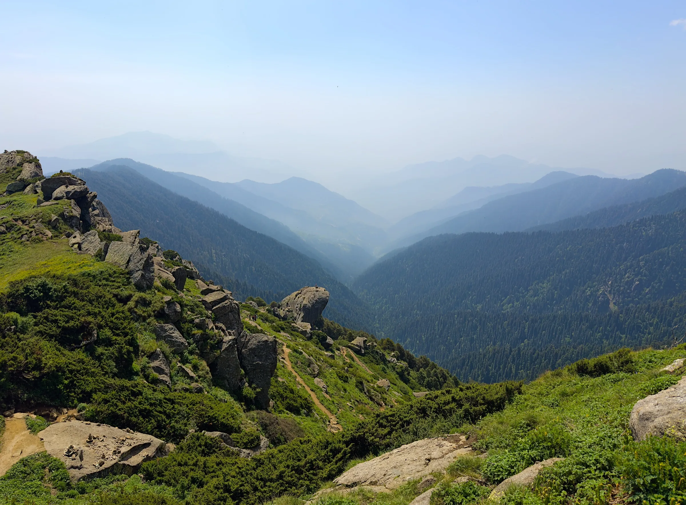
- Whole trail through tall deodar, pine and oak forest, which gives Deoban ("forest of the gods") its name
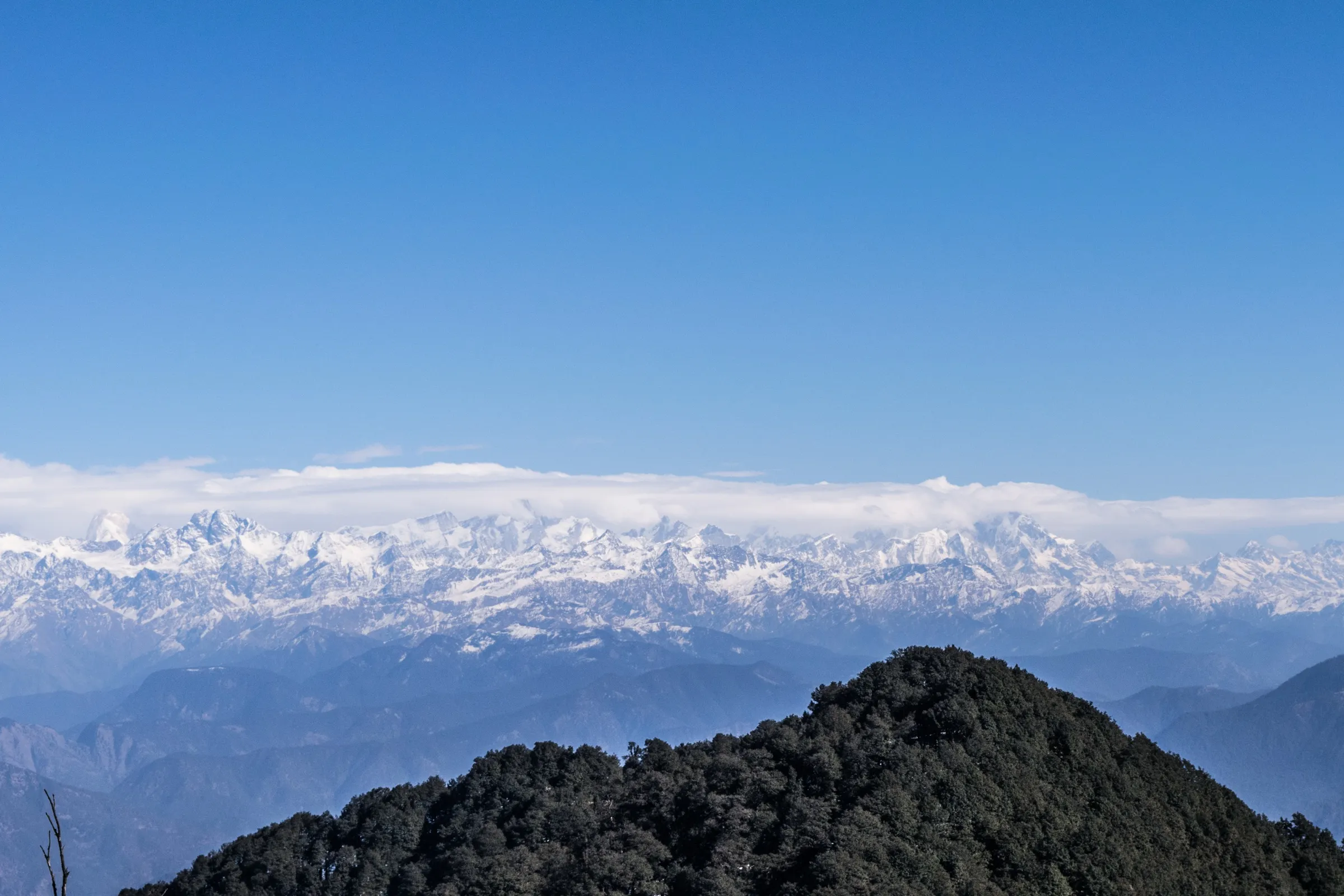
- Vyas Shikhar viewpoint with a 1959 panorama plaque naming peaks from Bandarpunch and Swargarohini to Nanda Devi and Trishul
- Night camp at Saraswati Campsite, a clearing ringed by pines with open mountain views
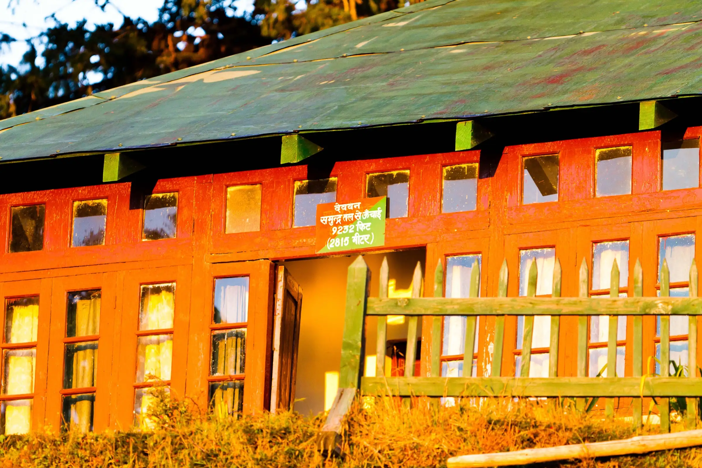
- Wooden Forest Rest House at Deoban, about 2,815 m
- Short enough to do as a weekend trip from Dehradun
Risks
- Chakrata is an access-restricted army cantonment: Wikipedia notes that foreigners face severe restrictions on visiting, and Uttarakhand Tourism flags its high-security location. Foreign nationals should confirm the current rule with the authorities before planning.
- Photography of army installations around Chakrata is prohibited.
- Late December and January bring thick snow that can block the trail (Indiahikes advises avoiding peak winter).
- July–August monsoon makes the trail slippery and raises landslide risk on the road; Himalaya Shelter advises beginners and children to avoid it.
- Long, steep, waterless climb on day 2; dehydration is common.
Know before you go
Questions
Can foreigners do the Deoban trek?
Probably not without prior permission. The route passes through Chakrata, an access-restricted army cantonment. Wikipedia notes that foreigners face severe restrictions on visiting, and Uttarakhand Tourism flags the town's high-security location. Foreign nationals should check the current rule with the authorities before planning.
How difficult is the Deoban trek?
Indiahikes rates it easy and suitable for fit beginners, while other operators call it easy to moderate. Day 1 is a 4 km, 2-hour walk; day 2 is about 11 km and 6 hours with steep climbs to Vyas Shikhar at roughly 9,300–9,400 ft.
What is the best time for the Deoban trek?
Spring (March–April) and autumn (September–November). Autumn gives the clearest Himalayan views from Vyas Shikhar. Early December and February give a snow trek; late December and January can have thick snow that blocks the trail.
Where does the Deoban trek start and how do I get there?
It starts at Lokhandi village (by the Koti Kanasar Shiv Temple), about 108 km and 4 hours by road from Dehradun via Vikasnagar and Chakrata. Early-morning buses from Dehradun heading beyond Lokhandi will drop you there.
Do I need a permit for Deoban?
Yes, a forest entry permit is needed and operators include it in their packages; carry an original government photo ID. We could not confirm the current official fee, so self-guided trekkers should check at the Chakrata forest office.
In an emergency
Save these numbers before you lose signal. Tap to call.
- 112All emergenciesIndia’s single emergency number — works in every state
- 108Ambulance
- 1077District disaster control room
You are in
District: DehradunUttarakhand
- Nearest hospital
- Chakrata has basic medical facilities; for anything serious, Vikasnagar or Dehradun (about 4 hours).
- Last ATM
- Chakrata (not confirmed by our sources); carry cash from Dehradun or Vikasnagar.
- Phone network
- Not confirmed by our sources; expect signal around Chakrata and Lokhandi on the road, little or none inside the forest.
Before you set off
- Tell someone your route and when you will be back.
- Carry a charged phone and a power bank.
- Download an offline map of the route.
- Turn back if the weather turns bad — the mountain will wait.
Questions about Deoban
No questions yet. Ask something and trekkers who have done it can answer.
Share your trek photo with #TreksAndTrails
I trekked this
Did Deoban look different from this page? Tell us what changed and we will check it.
Where this comes from
Sources
Last reviewed:
- Deoban Weekend Trek - Indiahikes — Indiahikes
- Devban Trek — Himalaya Shelter
- Deoban Weekend Trek 2026 - Cost, Itinerary & Best Time — Himalayan Dream Treks
- Deoban Trek Tour (The Crazy Mountaineers) — The Crazy Mountaineers
- Chakrata — Uttarakhand Tourism (official)
- Chakrata — Wikipedia
Photos: Puneetcps, CC BY-SA 4.0; Vaibhav78545, CC BY-SA 4.0; Gurnoor ghuman, CC BY-SA 4.0