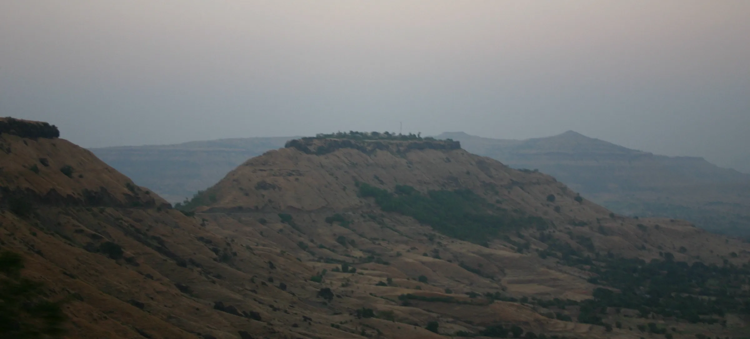
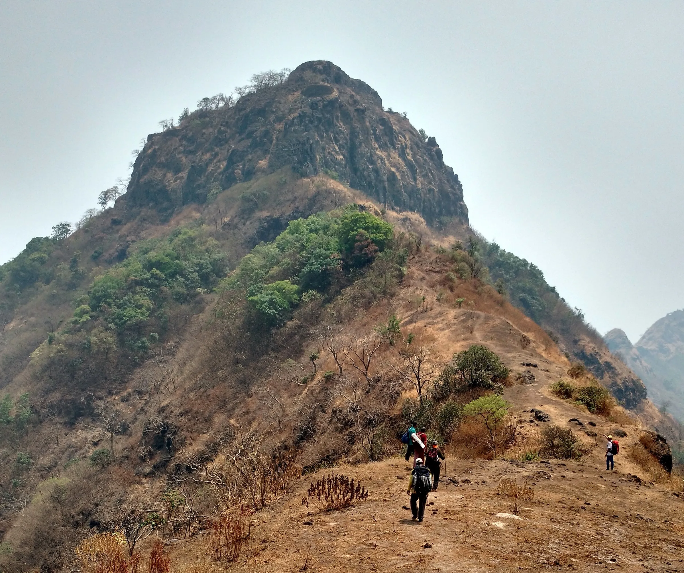
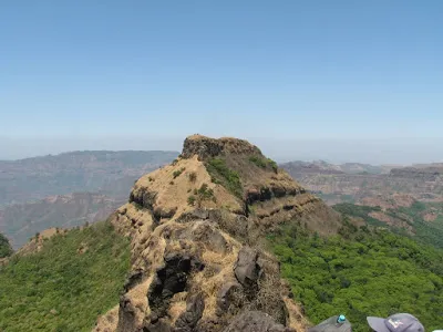
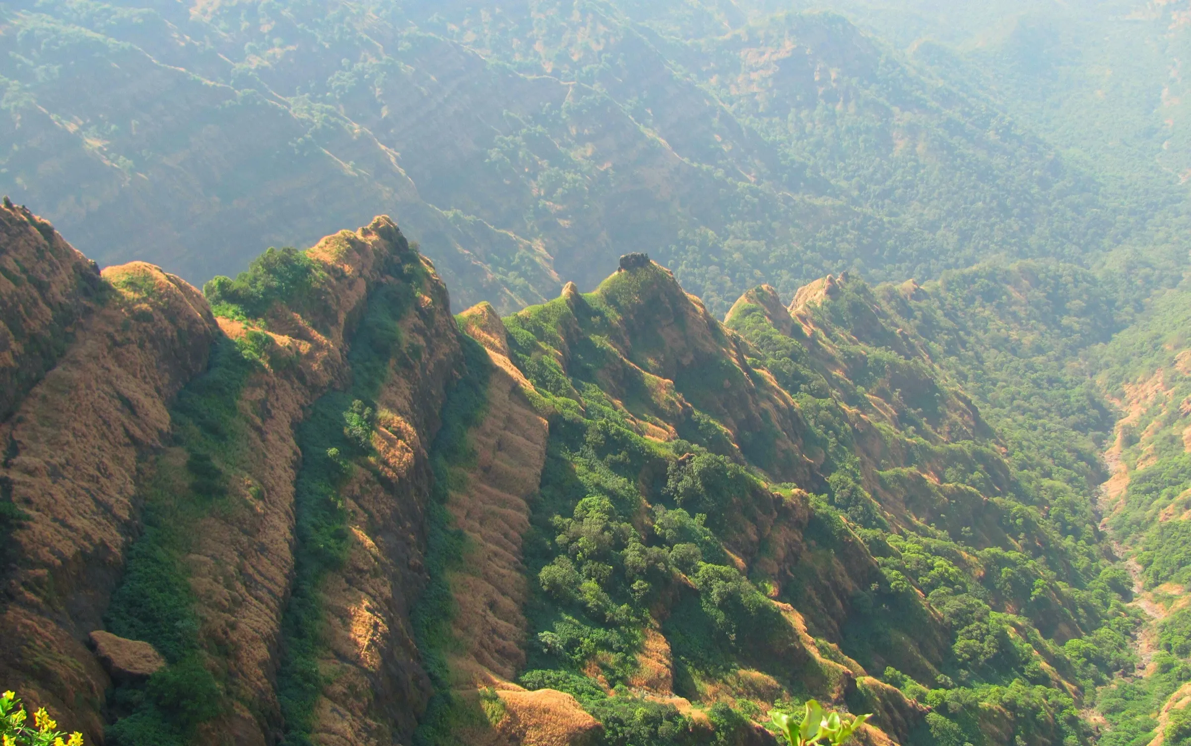
Vasota Fort Trek
Satara, Maharashtra
Opens without signal on this phone, with the map file and checklist. Saved for offline →
- Max altitude
- 1,102 m
- Days
- 1 day
- Distance
- 7 km
- Difficulty
- Moderate
About 2.5 hours of steady climbing through dense, humid forest from the Met Indavali jetty to the fort, plus about 2 hours exploring the top; the trail is well defined but rocky and slippery in places, and the boat crossing and permit timings leave little slack in the day.
Photos
On the trail
The route
Day by day
Day 1 · highest point
Met Indavali (Indavli) forest camp, by boat from Bamnoli → Met Indavali (Indavli) forest camp, then boat back to Bamnoli
660 m → 1,102 m → 660 m
Ups and downs
Altitude profile
Where it is
Map
Trailhead and high point only — not a recorded track. Use it with a proper map.
Weather
Next 5 days on the trail
Live forecast for the trailhead and the high point. Mountain weather changes fast — check again on the morning you start.
Trailhead · Met Indavali (Indavli) forest camp
at 660 mLoading forecast…
High point · Vasota Fort (Vyaghragad)
at 1,102 mLoading forecast…
Each day: high / low °C · rain mm and chance · snow cm · wind km/h
Weather data: Open-Meteo.comModel forecast, not an official warning. For alerts follow IMD and the local administration.
Plan the trip
How to reach
- Trailhead
- Met Indavali (Indavli) forest camp (nearest town: Bamnoli)
- Nearest railway
- Satara
- Nearest airport
- Pune International Airport (Lohegaon)
- By road
- Satara to Bamnoli via Kaas (about 38 km); Pune to Bamnoli via Satara (about 140–160 km); Boat from Bamnoli across the Shivsagar (Koyna) backwaters to Met Indavali (about 1 hour); boats also run from nearby Shembadi and Munavale; Konkan approach: Chiplun to Choravane (about 30 km), then climb via Nageshwar
- Drive
- About 3.5 h from Pune
Plan the trip
Permits and fees
We could not confirm the current permit rules and fees from an official source. Check with the local forest department or tourism office before you go.
Plan the trip
Cost
Self-guided
₹800–4,500
With an operator
₹1,500–1,800
Per person, ex-Pune for guided trips: weekend packages (overnight bus, boat both ways, forest entry, local guide, breakfast and lunch, optional lakeside tent) cost about Rs 1,500–1,800 with Treks and Trails India and Trekkers of India (plus 5% GST with some). Self-guided estimate is ex-Satara: bus or shared vehicle to Bamnoli, forest entry, a share of the guide fee and a share of the boat. The boat is hired whole (Durg Bharari quotes Rs 3,540 for a 12-seat boat, undated), so a solo trekker pays far more than one in a full group. eSakal reported these forest fees on reopening (10 Oct 2026): entry Rs 150 per adult, Rs 75 per child aged 5–12, guide Rs 300, boat parking Rs 200, DSLR camera Rs 100. These are not from an official notice, so confirm at the Bamnoli forest office.
Gear
Top picks for this trek
The gear that matters most on this route, chosen from its altitude, season and risks.
 Ad · affiliate link
 Ad · affiliate link
 Ad · affiliate link
 Ad · affiliate link
 Ad · affiliate link
 Ad · affiliate link
- Ad · affiliate link
 Ad · affiliate link
Store buttons open a search on that store, not a product we picked. As an Amazon Associate we earn from qualifying purchases. Photos show the kind of item, not a specific product. Affiliate disclosure
Packing checklist
Matched to this trek: altitude, season, days and the risks on the route.
Packed 0 of 17
Tick each item as it goes in the bag.
Know before you go
Good to know
- Mobile network
- Patchy at Bamnoli and usually none on the Koyna backwaters and in the forest
- Last ATM
- Satara (carry cash for the boat and forest fees)
- Nearest hospital
- Satara (about 40 km from Bamnoli)
- Water
- Fill up from the stream near the small Hanuman and Ganapati shrine behind the Met Indavali forest office; the tanks and well on the fort are not drinkable. Carry 2–3 litres
Highlights
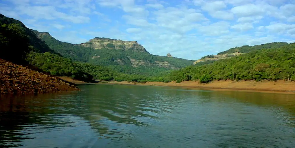
- A boat crossing of the Shivsagar (Koyna) backwaters from Bamnoli to the forest camp at Met Indavali
- A climb through dense evergreen forest in the Koyna Wildlife Sanctuary, part of the Sahyadri Tiger Reserve
- Ruins on the 12-acre top: gates, a stepped tank, a laterite Mahadev temple, a Hanuman temple and Kalkaai Machi
- Views of the Nageshwar pinnacle, Old Vasota and its Babu Kada cliff, and the forts of Rasalgad, Sumargad and Mahipatgad
- A side trip to the Nageshwar cave, where water drips onto a Shivalinga all year; devotees come on Shravan Mondays and Mahashivratri
Risks
- Closed every monsoon (about mid-June to mid-October) and on 31 December; do not try to enter during the closure
- Entry timings are strict: Durg Bharari gives 7:30 am to 1:30 pm for entry, and operators say to be back at the jetty before dusk. Late return can bring forest department fines
- No overnight stay is allowed inside the sanctuary, so the whole trek must be done in one day; camp only at Bamnoli or nearby villages
- Rocky, slippery sections on the forest trail and on the Nageshwar route; the Choravane side has iron ladders and carved steps
- This is tiger reserve forest: stay with your forest guide and in your group, and keep quiet (the area is a declared silence zone)
- Life jackets are compulsory on the boat; boats carry only 12–15 people
- No drinking water on the fort and no shelter on top
Know before you go
Questions
Do I need a permit to trek to Vasota?
Yes. Vasota is inside the Koyna Wildlife Sanctuary (Sahyadri Tiger Reserve), and entry is controlled by the Bamnoli wildlife range office. Operators say you register at the forest check-post at Bamnoli, show ID, pay the entry fee and take a forest guide before boarding the boat. We found no online booking system; permits are issued on the spot. Fees reported in October 2026 are Rs 150 per adult and Rs 300 for a guide, but confirm locally.
When is Vasota closed?
Every monsoon. Durg Bharari gives the closure as 15 June to 15 October, and in 2026 the fort reopened on 15 October after a four-month closure. It is also closed on 31 December, and Durg Bharari says on 1 January as well.
How do I get to the start of the trek?
Drive or take a bus to Bamnoli, about 38 km from Satara via Kaas. After the forest formalities, a hired boat takes about an hour to cross the Koyna backwaters to Met Indavali, the forest camp where the walk starts. Boats also leave from Shembadi and Munavale nearby.
Can I camp on Vasota Fort?
No. Overnight stays inside the sanctuary are not allowed, so the trek is done in one day. Groups camp in tents at Bamnoli or nearby lakeside villages the night before.
How long does the trek take?
About 2.5 hours up from Met Indavali to the fort and about 2 hours to explore the top, plus the descent. Adding the Nageshwar cave makes a long day of about 12 hours from Bamnoli.
How high is Vasota Fort?
Operators give 3,614 ft (about 1,102 m) and Durg Bharari gives 3,625 ft. Wikipedia gives 3,814 ft.
In an emergency
Save these numbers before you lose signal. Tap to call.
- 112All emergenciesIndia’s single emergency number — works in every state
- 108Ambulance
- 1077District disaster control room
You are in
District: SataraMaharashtra
- Nearest hospital
- Satara (about 40 km from Bamnoli)
- Last ATM
- Satara (carry cash for the boat and forest fees)
- Phone network
- Patchy at Bamnoli and usually none on the Koyna backwaters and in the forest
Before you set off
- Tell someone your route and when you will be back.
- Carry a charged phone and a power bank.
- Download an offline map of the route.
- Turn back if the weather turns bad — the mountain will wait.
Questions about Vasota Fort
No questions yet. Ask something and trekkers who have done it can answer.
Share your trek photo with #TreksAndTrails
I trekked this
Did Vasota Fort look different from this page? Tell us what changed and we will check it.
Where this comes from
Sources
Last reviewed:
- Vasota Fort Trek Pune Satara (tour listing by the operator Treks and Trails India, treksandtrails.org; not this site) — Treks and Trails India
- Vasota Fort Trek — Trekkers of India
- Vasota — Durg Bharari
- Vasota Fort — Wikipedia
- Vasota / Vyaghragad (trip notes, October 2008) — Roop Mallik (IIT Bombay)
- Vasota Fort Tourism: fort in Sahyadri Tiger Reserve open from 15 October after four months' closure; entry fees announced (10 Oct 2026) — eSakal
- Vasota and Koyna tourism closed on 31 December by forest department decision (29 Dec 2025) — eSakal (29 Dec 2025)
Photos: Ccmarathe, CC BY-SA 4.0; Amolmore8999, CC0; Suwarna tandale, CC BY-SA 4.0