Makrandgad Trek
Satara, Maharashtra
Opens without signal on this phone, with the map file and checklist. Saved for offline →
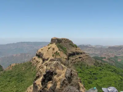 1,236 mhighest point
- Max altitude
- 1,236 m
- Days
- 1 day
- Distance
- 7 km
- Difficulty
- Moderate
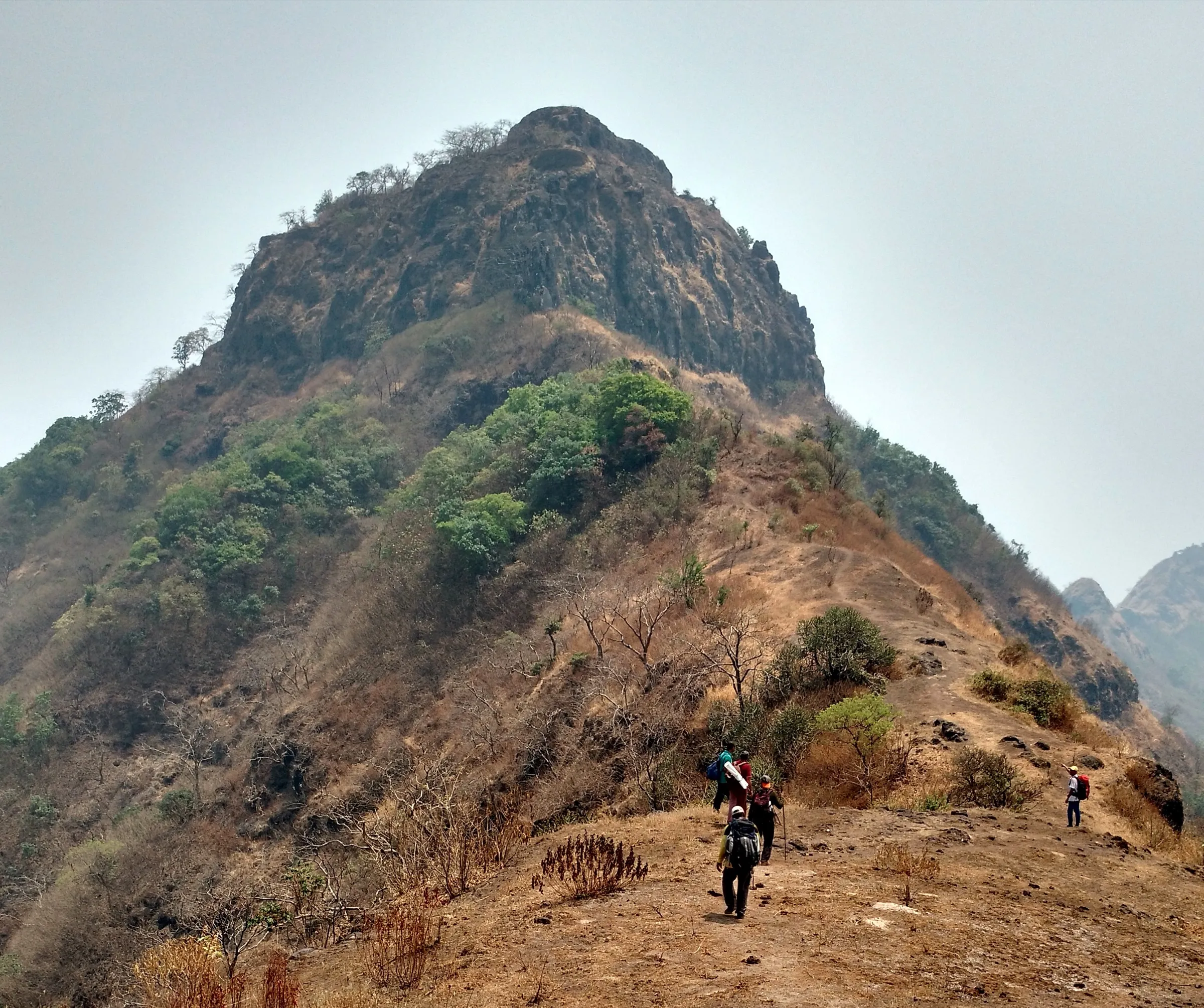
A short day hike of about 2 hours each way, but it gains roughly 500 m on a narrow, unpaved forest path with steep, rough patches and no water anywhere on the trail; sources rate it easy to moderate.
The route
Day by day
Day 1 · highest point
Hatlot → Hatlot (via Shri Mallikarjun mandir and Makrandgad summit)
715 m → 1,236 m → 715 m
Ups and downs
Altitude profile
Where it is
Map
Trailhead and high point only — not a recorded track. Use it with a proper map.
Weather
Next 5 days on the trail
Live forecast for the trailhead and the high point. Mountain weather changes fast — check again on the morning you start.
Trailhead · Hatlot
at 715 mLoading forecast…
High point · Makrandgad summit (Shri Mallikarjun mandir)
at 1,236 mLoading forecast…
Each day: high / low °C · rain mm and chance · snow cm · wind km/h
Weather data: Open-Meteo.comModel forecast, not an official warning. For alerts follow IMD and the local administration.
Plan the trip
How to reach
- Trailhead
- Hatlot (nearest town: Mahabaleshwar)
- Nearest railway
- Satara (Pune Junction is the better-connected option)
- Nearest airport
- Pune International Airport
- By road
- Pune (about 120 km, 4 hours by road or MSRTC bus to Mahabaleshwar, then the Pratapgad road towards Par and on to Hatlot; about 156 km in all); Mahabaleshwar (Ambenali ghat road via Haroshi, Kumbharoshi and Par, then left to Hatlot; buses to Hatlot are infrequent)
- Drive
- About 5 h from Pune
Plan the trip
Permits and fees
We could not confirm the current permit rules and fees from an official source. Check with the local forest department or tourism office before you go.
Plan the trip
Cost
Self-guided
₹800–2,500
With an operator
₹1,000–2,500
Per person, ex-Pune. Only one operator price was found: Treks and Trails India (treksandtrails.org, not affiliated with this site) lists ₹1,000 for the 1-day trek, inclusions not stated; the upper end of the guided range is our allowance for packages that include Pune transport, so confirm with operators. Self-guided is an estimate: Pune-Mahabaleshwar bus ₹130-200 each way, a shared jeep or taxi to Hatlot (buses are infrequent), and meals. Hatlot homestays cost about ₹500-700 per twin room (Indiahikes), and trekkers can sleep free in the temple compound with their own mats.
Gear
Top picks for this trek
The gear that matters most on this route, chosen from its altitude, season and risks.
 Ad · affiliate link
 Ad · affiliate link
 Ad · affiliate link
 Ad · affiliate link
 Ad · affiliate link
 Ad · affiliate link
- Ad · affiliate link
 Ad · affiliate link
Store buttons open a search on that store, not a product we picked. As an Amazon Associate we earn from qualifying purchases. Photos show the kind of item, not a specific product. Affiliate disclosure
Packing checklist
Matched to this trek: altitude, season, days and the risks on the route.
Packed 0 of 18
Tick each item as it goes in the bag.
Know before you go
Good to know
- Mobile network
- Not confirmed by our sources; expect weak or no signal on the forested trail and in the Koyna valley villages.
- Last ATM
- Mahabaleshwar
- Nearest hospital
- Mahabaleshwar for first care; Satara for serious cases
- Water
- None on the trail (Indiahikes): carry 2-3 litres per person. The rock-cut pillared cistern below the summit holds water but it is not potable (Durgbharari).
Highlights
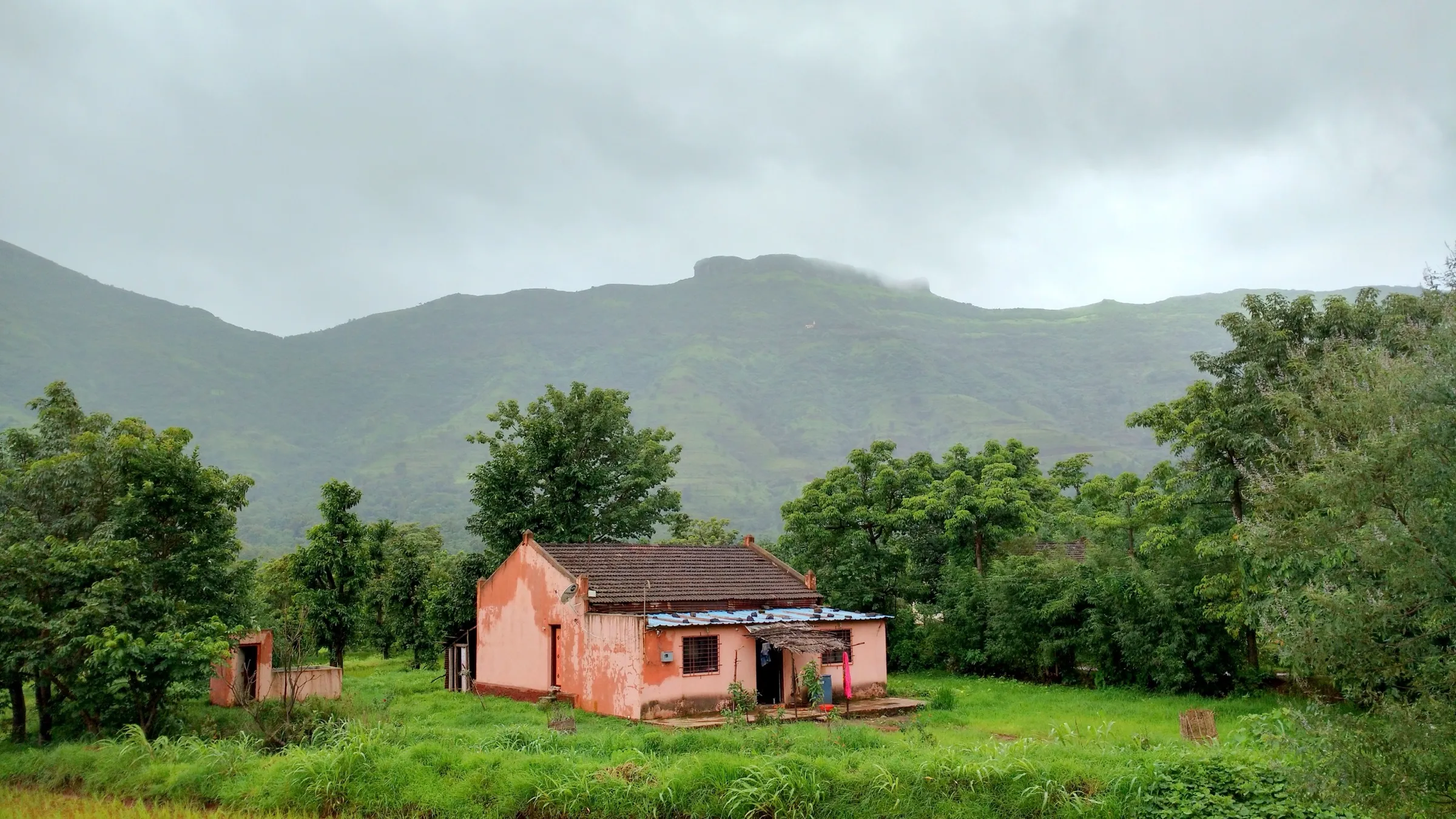
- Climb through the dense Javali forest from Hatlot, the same forest Chhatrapati Shivaji Maharaj took from the More family in 1656
- Shri Mallikarjun mandir near Ghonaspur and the small Mallikarjun shrine with a Nandi on the summit
- Sunset and sunrise views over the Koyna valley and Mahabaleshwar, with Pratapgad, Mahipatgad, Rasalgad and Sumargad visible on clear days
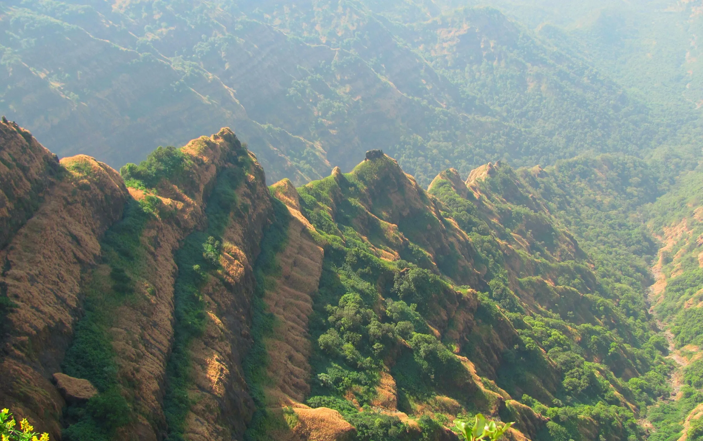
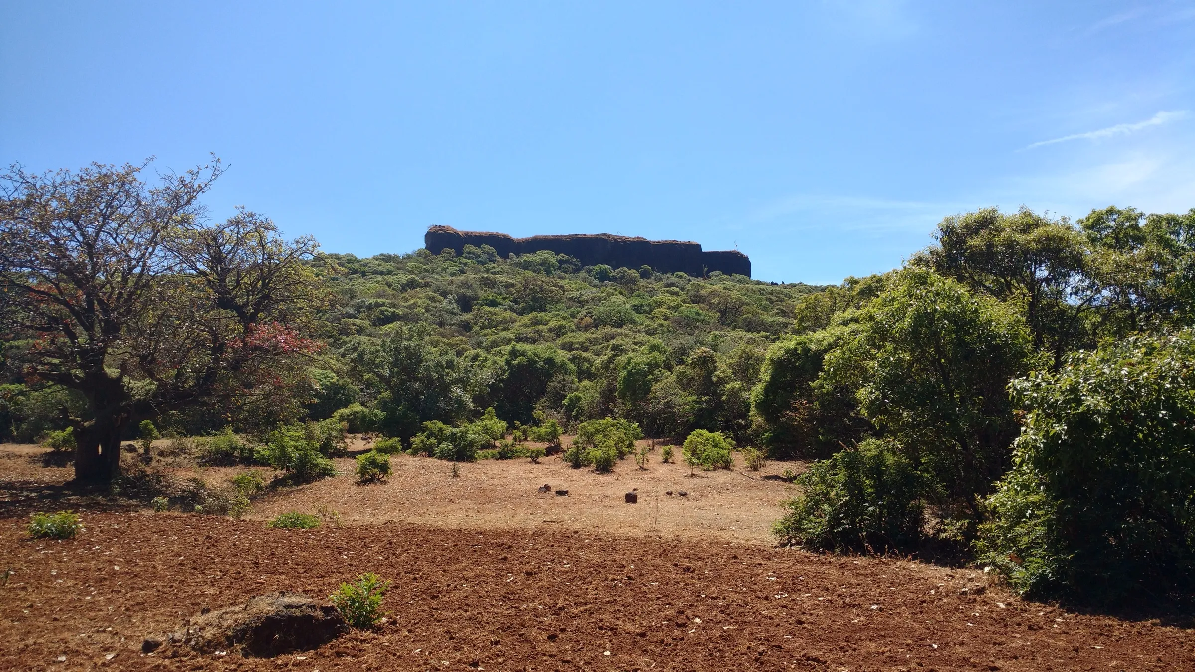
- The 'Saddleback' twin peaks of Madhu and Makrand joined by a narrow ridge, and a rock-cut cistern on twelve stone pillars with a carved image of Hanuman
Risks
- No water on the trail or the fort; dehydration is the main risk on hot days, so carry 2-3 litres each.
- The path is narrow and unpaved with steep, rough patches and forks; keep left at forks from Hatlot and follow the white arrows near the top, or hire a local guide.
- The route onward from Makrandgad to the Madhu peak is broken and needs ropes and climbing gear; do not attempt it as part of the trek.
- Monsoon (June-September) makes the forest trail slippery, and Satara district can close tourist spots and ghat roads under heavy-rain alerts, as it did on 7 July 2026 'until further orders'; check current orders before a monsoon visit.
- Ghonaspur village is strictly vegetarian; do not carry or cook meat there.
Know before you go
Questions
How long does the Makrandgad trek take?
About 2 hours each way from Hatlot, so it fits in a single day. Exploring the fort top takes about an hour more. Some trekkers make it a 2-day trip and sleep at the Mallikarjun mandir near the top with their own mats.
Which base village should I start from, Hatlot or Chaturbet?
Hatlot gives the classic walk through dense Javali forest, about 2 hours to the top. From Chaturbet a rough 6 km road climbs to Ghonaspur, and a jeep-type vehicle can reach the Mallikarjun mandir, leaving only a short 30-45 minute walk to the summit.
Is there water and food on the trek?
No. There is no drinking water on the trail or the fort, and no food stalls. Carry 2-3 litres each and packed food, or order packed meals in the base village. Hatlot has simple homestays.
How high is Makrandgad?
The Satara District Gazetteer and Indiahikes give about 4,054-4,055 ft (about 1,236 m); Durgbharari gives 4,038 ft. The fort is about 650 ft lower than the Mahabaleshwar plateau.
When is the best time to do the Makrandgad trek?
Operators list October to February as best. The trail is shaded by forest, so Indiahikes says it can be done in summer too. In the monsoon the trail turns slippery and the district may close tourist spots during heavy-rain alerts.
In an emergency
Save these numbers before you lose signal. Tap to call.
- 112All emergenciesIndia’s single emergency number — works in every state
- 108Ambulance
- 1077District disaster control room
You are in
District: SataraMaharashtra
- Nearest hospital
- Mahabaleshwar for first care; Satara for serious cases
- Last ATM
- Mahabaleshwar
- Phone network
- Not confirmed by our sources; expect weak or no signal on the forested trail and in the Koyna valley villages.
Before you set off
- Tell someone your route and when you will be back.
- Carry a charged phone and a power bank.
- Download an offline map of the route.
- Turn back if the weather turns bad — the mountain will wait.
Questions about Makrandgad
No questions yet. Ask something and trekkers who have done it can answer.
Share your trek photo with #TreksAndTrails
I trekked this
Did Makrandgad look different from this page? Tell us what changed and we will check it.
Where this comes from
Sources
Last reviewed:
- The Complete Guide to the Madhu Makrandgad Trek — Indiahikes
- Madhu Makrandgad Trek - A Magnificent Sunset Point — Treks and Trails India (treksandtrails.org)
- Satara District Gazetteer: Makrandgad — Gazetteers Department, Government of Maharashtra (official)
- Makrandgad — Wikipedia
- Madhumakrandgad — Durgbharari
- All Tourist Attractions In Satara Are Closed Until Further Notice (7 July 2026) — Pune Pulse
Photos: Sushantpisal123, CC BY-SA 4.0