Kamalgad Trek
Satara, Maharashtra
Opens without signal on this phone, with the map file and checklist. Saved for offline →
- Max altitude
- 1,375 m
- Days
- 1 day
- Distance
- 12 km
- Difficulty
- Moderate
A steady climb of about 580 m through meadow and dense scrub forest on a well-used path, 2-3 hours each way, ending in a few rock-cut steps and an iron ladder up the fort's scarp; the forest paths branch and it is easy to get lost off the main trail.
Photos
On the trail
The route
Day by day
Day 1 · highest point
Tupewadi (Vasole) → Tupewadi (via Gorakshanath temple and Kamalgad fort top)
797 m → 1,375 m → 797 m
Ups and downs
Altitude profile
Where it is
Map
Trailhead and high point only — not a recorded track. Use it with a proper map.
Weather
Next 5 days on the trail
Live forecast for the trailhead and the high point. Mountain weather changes fast — check again on the morning you start.
Trailhead · Tupewadi (Vasole)
at 797 mLoading forecast…
High point · Kamalgad fort top
at 1,375 mLoading forecast…
Each day: high / low °C · rain mm and chance · snow cm · wind km/h
Weather data: Open-Meteo.comModel forecast, not an official warning. For alerts follow IMD and the local administration.
Plan the trip
How to reach
- Trailhead
- Tupewadi (Vasole) (nearest town: Wai)
- Nearest railway
- Satara or Pune Junction (Pune has the most trains; onward by road via Wai)
- Nearest airport
- Pune Airport
- By road
- Pune via Wai and the road along the Dhom dam backwaters to Vasole (about 120 km; durgbharari.in calls the 30 km Wai-Vasole road poor); Pune via Bhor, Korle and Raireshwar to Vasole (about 100 km on a better road, per durgbharari.in); Wai (about 30 km to Tupewadi); local buses and shared jeeps run from Wai towards Nandgane and Vasole; Mumbai (about 260 km, 6-7 hours by road)
- Drive
- About 3.5 h from Pune
Plan the trip
Permits and fees
We could not confirm the current permit rules and fees from an official source. Check with the local forest department or tourism office before you go.
Plan the trip
Cost
Self-guided
₹500–1,500
With an operator
₹1,299–2,000
Per person. Guided: Treks and Trails India (treksandtrails.org) lists ₹1,299 ex-Pune (Pune-Pune non-AC vehicle, breakfast, trek leader; lunch not included) and ₹2,000 ex-Mumbai (Dadar-Dadar non-AC vehicle, breakfast and lunch, trek leader); pages undated. Indiahikes documents the trek but publishes no price on its page. Self-guided ex-Wai is an estimate: bus or shared jeep from Wai to Nandgane or Vasole plus food, or a shared fuel cost from Pune; a simple meal or homestay may be available at the Dhangar settlement near the fort.
Gear
Top picks for this trek
The gear that matters most on this route, chosen from its altitude, season and risks.
 Ad · affiliate link
 Ad · affiliate link
 Ad · affiliate link
 Ad · affiliate link
- Ad · affiliate link
 Ad · affiliate link
 Ad · affiliate link
 Ad · affiliate link
Store buttons open a search on that store, not a product we picked. As an Amazon Associate we earn from qualifying purchases. Photos show the kind of item, not a specific product. Affiliate disclosure
Packing checklist
Matched to this trek: altitude, season, days and the risks on the route.
Packed 0 of 21
Monsoon months (Jun–Sep): pack everything in plastic or a dry bag and wear shoes with good grip.
Tick each item as it goes in the bag.
Know before you go
Good to know
- Mobile network
- Not confirmed by our sources; expect patchy signal in the forest and on the Dhom backwater road.
- Last ATM
- Wai (not confirmed by our sources; carry cash)
- Nearest hospital
- Wai for first care; Satara or Pune for serious cases
- Water
- Scarce. Durgbharari.in describes a perennial spring-fed tank 5-10 minutes past the Gorakshanath temple as the only water on the route; Indiahikes says the forest water holes are used by cattle and not safe, and the only refill point is the Dhangar settlement below the fort. Carry 2-3 litres.
Highlights
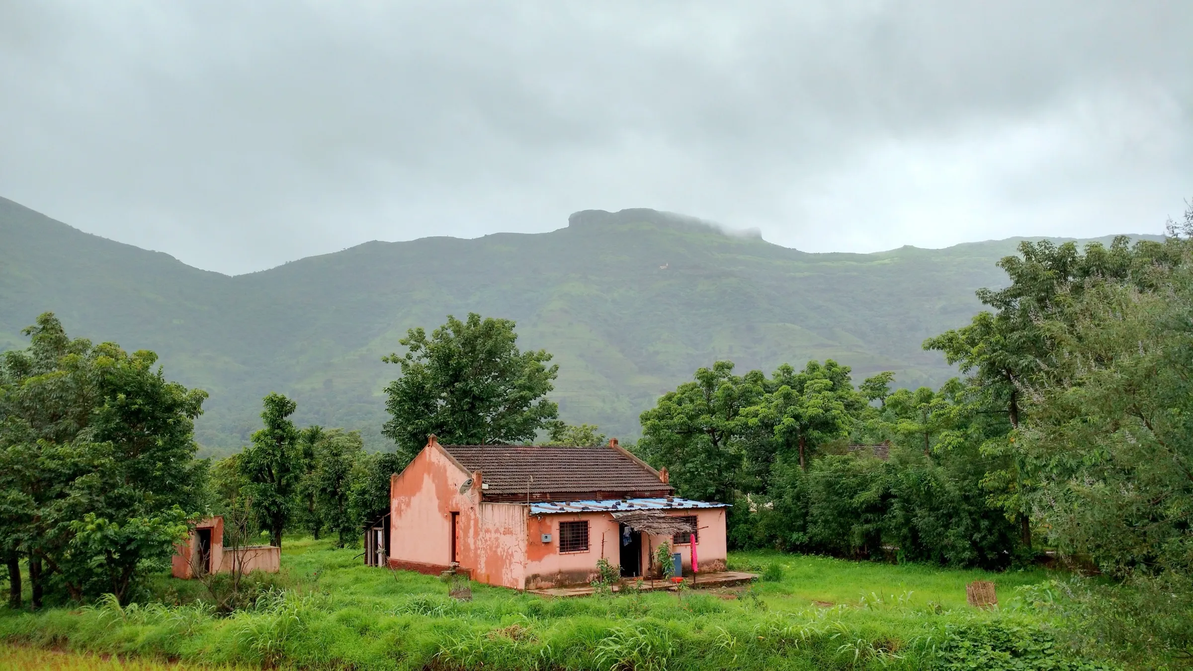
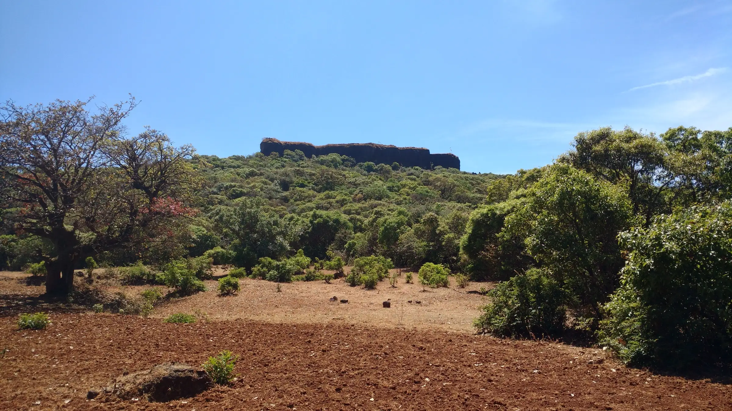
- A flat-topped rock fort rising out of dense jambhul and pisa forest, with no walls or gateway, reached by a few rock-cut steps and an iron ladder
- The deep 'Geru' or 'Kavechi' well on top: a rock shaft with steps cut down to cool, red-ochre chambers at the bottom
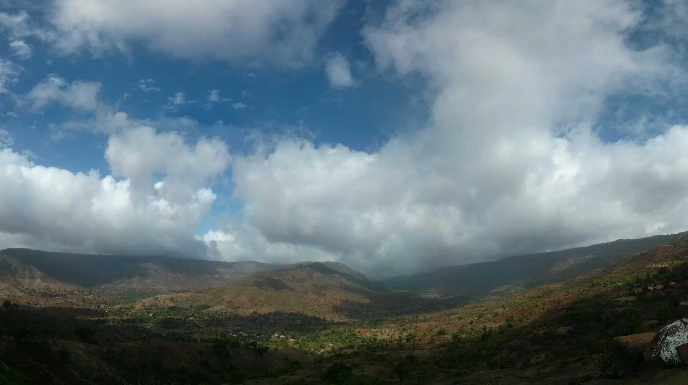
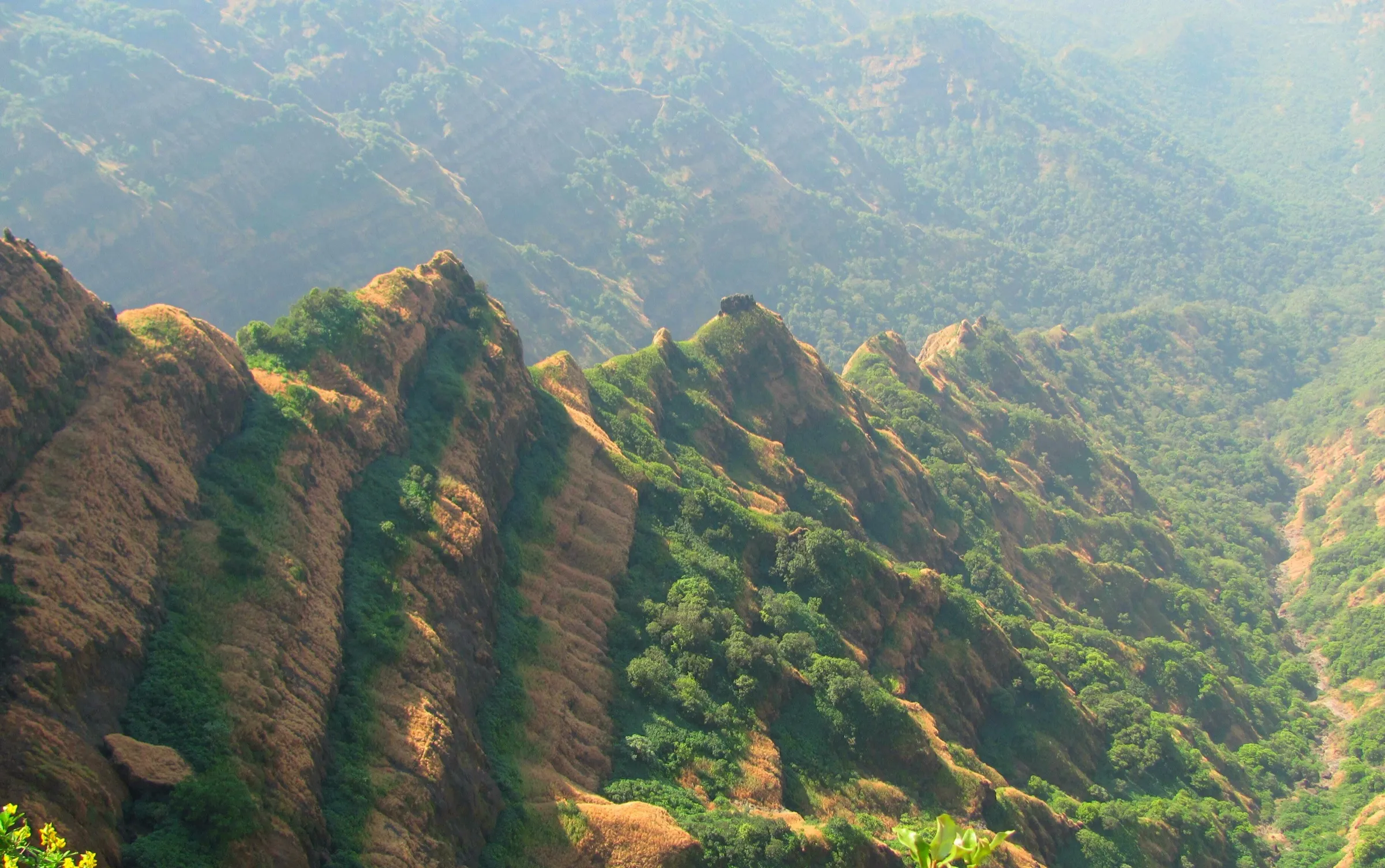
- Aerial view of the Dhom reservoir on the Krishna, with the Mahabaleshwar, Panchgani and Koleshwar plateaus, Kenjalgad and Raireshwar all around
- The old Gorakshanath temple in the forest on the way, mentioned in colonial-era gazetteers, with shelter for a small group
- A Dhangar family's settlement in a forest clearing just below the fort, where trekkers can get buttermilk and refill water
Risks
- The final rock-cut steps and iron ladder up the scarp, and the slippery stepped descent into the well on top, need care, especially when wet.
- Forest sections are dense and branch into cattle trails; it is easy to get lost off the main path. Go with a group or a local guide.
- In the monsoon the red-soil and muddy forest trail becomes slippery, and the top is often in cloud.
- Satara district has closed tourist spots, forts and waterfalls during heavy-rain alerts (reported July 2026 and in earlier monsoons); check for a current collector's order covering Wai taluka before going.
- Long stretches in the open sun; Indiahikes does not recommend the trek in summer (February-May). Carry water, as sources are few.
Know before you go
Questions
How long is the Kamalgad trek?
Treks and Trails India gives about 6 km one way (about two hours) from Tupewadi. Indiahikes gives 5.5 km one way from Nandgane, with the round trip taking 4-5 hours.
What is the height of Kamalgad?
Most sources give about 4,500 ft: Wikipedia (citing the Satara District Gazetteer) and Treks and Trails India say 4,511 ft (about 1,375 m), Indiahikes 4,500 ft and Durgbharari 4,430 ft.
Which is the base village for Kamalgad?
Wikipedia, Treks and Trails India and Durgbharari use Tupewadi in Vasole village, about 30 km from Wai. Indiahikes starts from Nandgane on the Dhom backwaters; the two trails meet on the ridge before the Gorakshanath temple.
Is Kamalgad suitable for beginners?
Indiahikes says the route from Nandgane has no tricky or difficult sections and beginners and even children can do it. The last part to the fort top is a few rock-cut steps and an iron ladder.
Do I need a permit for Kamalgad?
Indiahikes says Kamalgad is not in a protected area and no permit is needed. During heavy-rain alerts the Satara district administration has closed tourist spots, so check for a current order in the monsoon.
Can you camp on Kamalgad?
Indiahikes says there is no suitable camping space on the fort, but basic homestay is available at the Dhangar settlement below it. Durgbharari says 10-12 people can stay in the Gorakshanath temple and its courtyard.
In an emergency
Save these numbers before you lose signal. Tap to call.
- 112All emergenciesIndia’s single emergency number — works in every state
- 108Ambulance
- 1077District disaster control room
You are in
District: SataraMaharashtra
- Nearest hospital
- Wai for first care; Satara or Pune for serious cases
- Last ATM
- Wai (not confirmed by our sources; carry cash)
- Phone network
- Not confirmed by our sources; expect patchy signal in the forest and on the Dhom backwater road.
Before you set off
- Tell someone your route and when you will be back.
- Carry a charged phone and a power bank.
- Download an offline map of the route.
- Turn back if the weather turns bad — the mountain will wait.
Questions about Kamalgad
No questions yet. Ask something and trekkers who have done it can answer.
Share your trek photo with #TreksAndTrails
I trekked this
Did Kamalgad look different from this page? Tell us what changed and we will check it.
Where this comes from
Sources
Last reviewed:
- The Complete Guide to Kamalgad — Indiahikes
- Kamalgad — Wikipedia
- Kamalgad Fort Trek Pune — Treks and Trails India (treksandtrails.org)
- Kamalgad Fort Trek Mumbai — Treks and Trails India (treksandtrails.org)
- Kamalgad | Durgbharari — Durgbharari (Suresh Nimbalkar)
Photos: Ccmarathe, CC BY-SA 4.0; Ccmarathe, CC BY-SA 4.0; Ccmarathe, CC BY-SA 4.0; rohit gowaikar, CC BY-SA 2.0