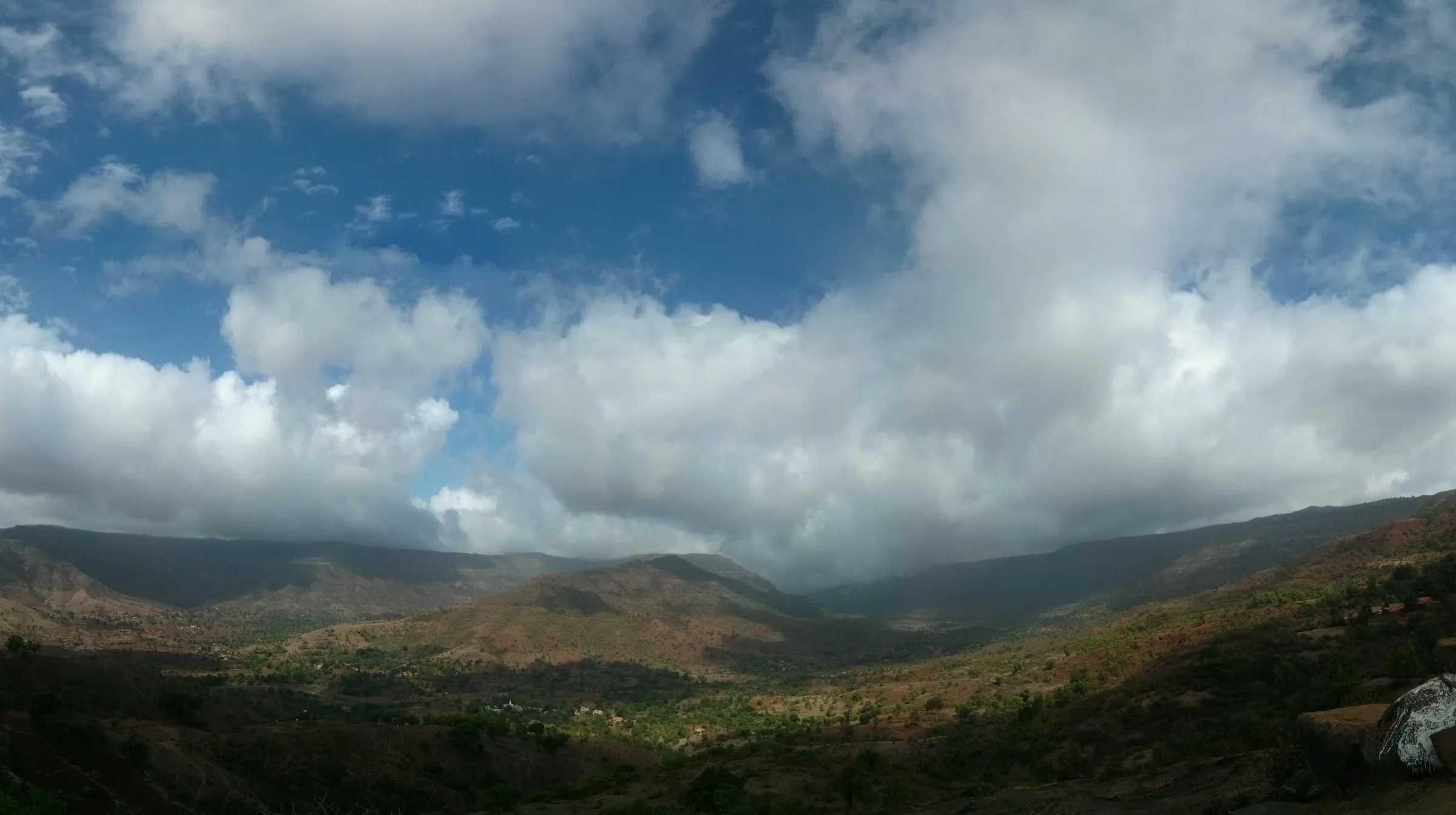
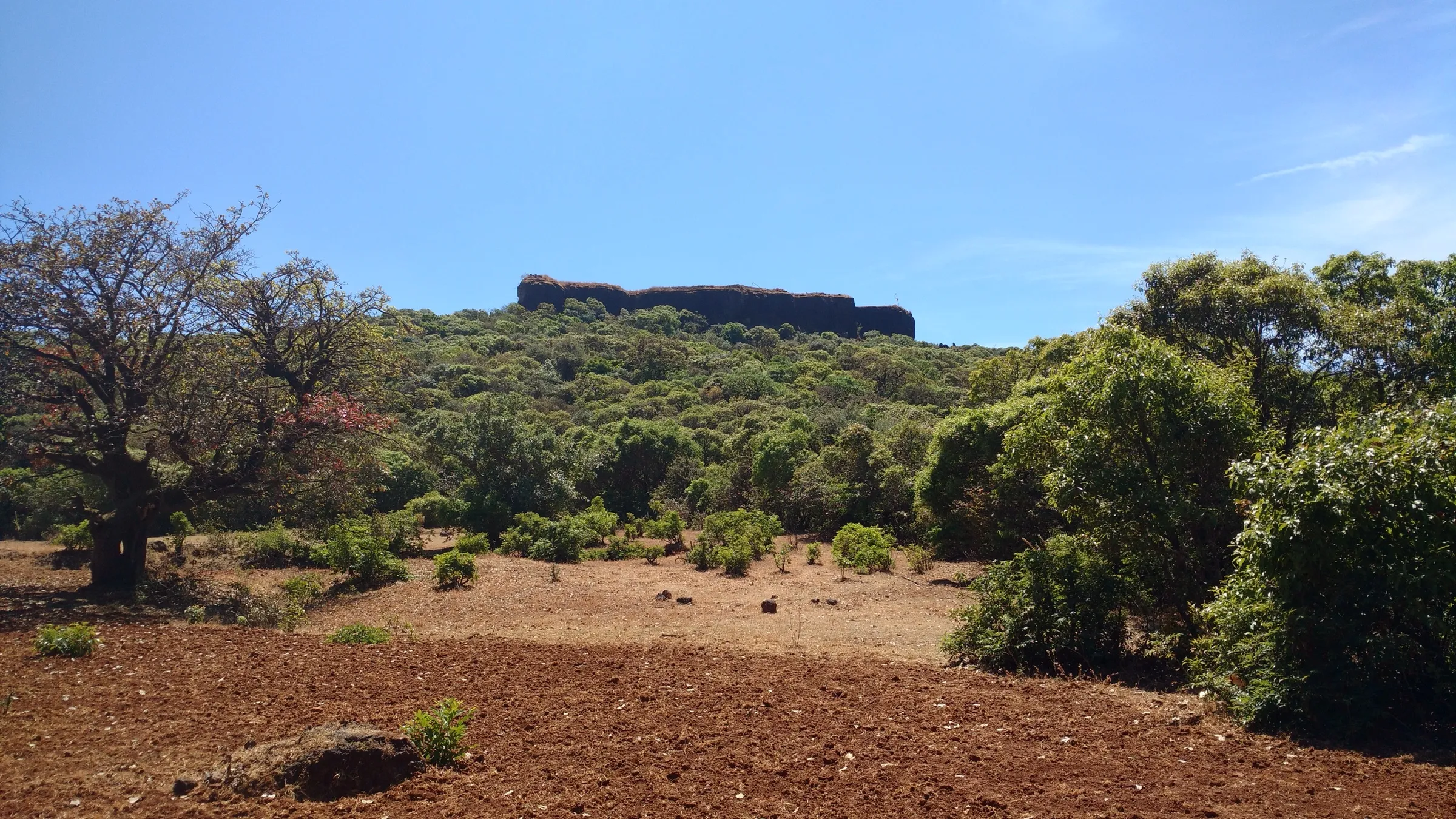
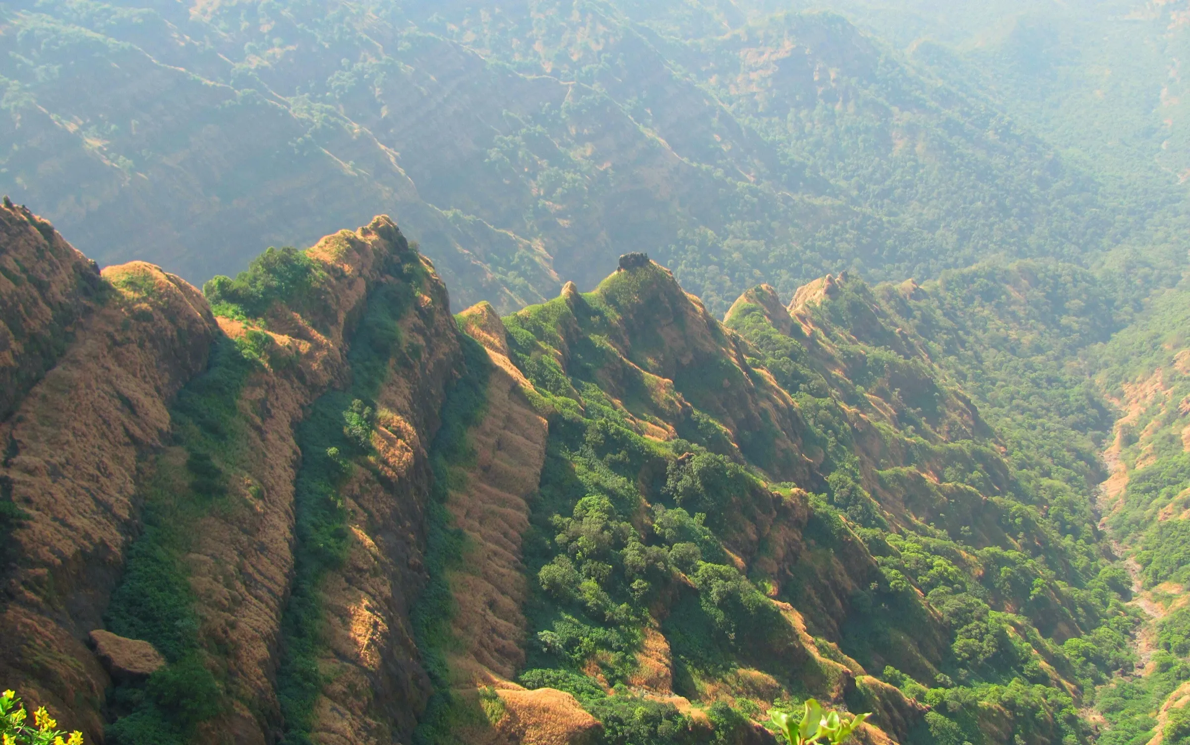
Kenjalgad Trek
Satara, Maharashtra
Opens without signal on this phone, with the map file and checklist. Saved for offline →
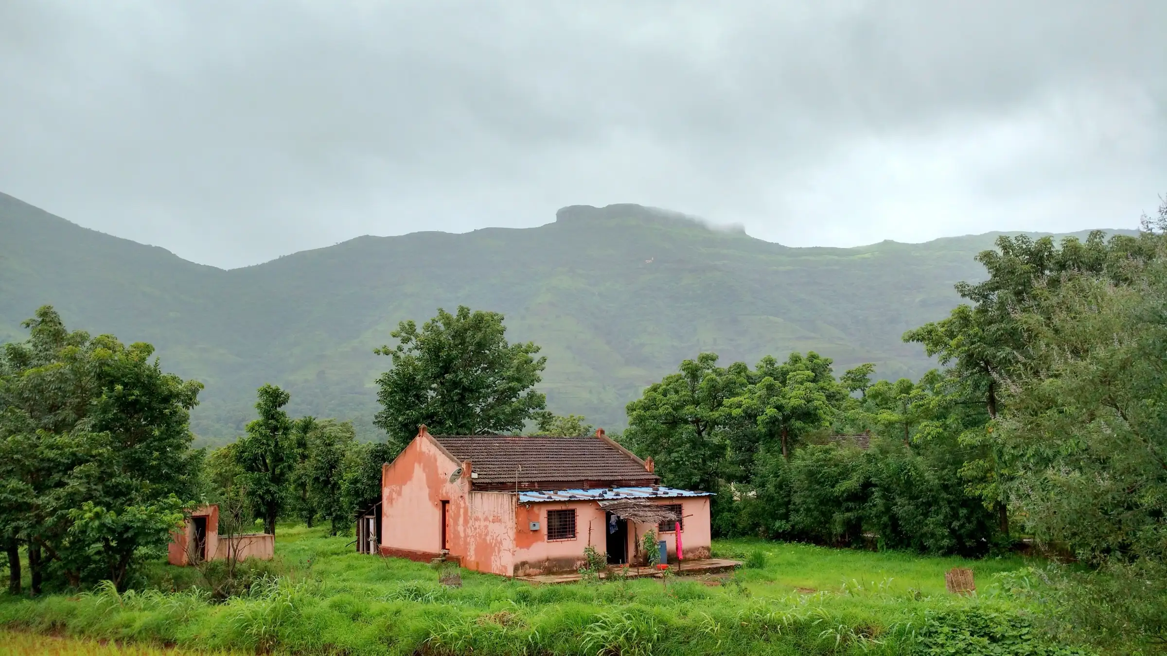
- Max altitude
- 1,301 m
- Days
- 1 day
- Distance
- 3.5 km
- Difficulty
- Easy
A short climb of about half an hour to an hour from Ghera Kenjal through forest, ending in about 55 rock-cut steps along the base of a sheer scarp; the steps and open edges on top need care in monsoon rain and fog.
Photos
On the trail
The route
Day by day
Day 1 · highest point
Ghera Kenjal → Ghera Kenjal (via Kenjalgad fort top)
1,000 m → 1,301 m → 1,000 m
Ups and downs
Altitude profile
Where it is
Map
Trailhead and high point only — not a recorded track. Use it with a proper map.
Weather
Next 5 days on the trail
Live forecast for the trailhead and the high point. Mountain weather changes fast — check again on the morning you start.
Trailhead · Ghera Kenjal
at 1,000 mLoading forecast…
High point · Kenjalgad fort top
at 1,301 mLoading forecast…
Each day: high / low °C · rain mm and chance · snow cm · wind km/h
Weather data: Open-Meteo.comModel forecast, not an official warning. For alerts follow IMD and the local administration.
Plan the trip
How to reach
- Trailhead
- Ghera Kenjal (nearest town: Bhor)
- Nearest railway
- Pune Junction
- Nearest airport
- Pune Airport
- By road
- Pune via Bhor and the Bhor-Varandha ghat road, turning off at Ambeghar towards Raireshwar (about 80-90 km; the last km to the base village is a rough kuchcha track); Wai (about 25 km); operators running buses from Pune prefer the Wai side because the Bhor road is narrow; Bhor (about 17 km)
- Drive
- About 3 h from Pune
Plan the trip
Permits and fees
We could not confirm the current permit rules and fees from an official source. Check with the local forest department or tourism office before you go.
Plan the trip
Cost
Self-guided
₹400–1,200
With an operator
₹999–1,299
Per person, ex-Pune, one-day trips. Guided prices published October 2026: Treks and Trails India (treksandtrails.org) ₹999 for Kenjalgad alone and ₹1,299 for Raireshwar + Kenjalgad (Pune-Pune non-AC bus, breakfast, lunch, trek leader); Trekkers of India ₹1,199 + 5% GST for Kenjalgad & Raireshwar (Pune-Pune bus, breakfast and lunch). Self-guided is an estimate: shared fuel or bus to Bhor and a local vehicle to Ghera Kenjal, plus food carried from Bhor or bought in the village.
Gear
Top picks for this trek
The gear that matters most on this route, chosen from its altitude, season and risks.
 Ad · affiliate link
 Ad · affiliate link
 Ad · affiliate link
 Ad · affiliate link
- Ad · affiliate link
 Ad · affiliate link
 Ad · affiliate link
 Ad · affiliate link
Store buttons open a search on that store, not a product we picked. As an Amazon Associate we earn from qualifying purchases. Photos show the kind of item, not a specific product. Affiliate disclosure
Packing checklist
Matched to this trek: altitude, season, days and the risks on the route.
Packed 0 of 21
Monsoon months (Jun–Sep): pack everything in plastic or a dry bag and wear shoes with good grip.
Tick each item as it goes in the bag.
Know before you go
Good to know
- Mobile network
- Not confirmed by our sources; expect patchy mobile signal on the ghat road and at the base village.
- Last ATM
- Bhor town (not confirmed by our sources; carry cash)
- Nearest hospital
- Bhor for first care; Pune for serious cases
- Water
- None on the trail or the fort: Wikipedia says there is no water on the route or the fort and no live spring, and the old rock tanks on top are not drinking water. Carry 2-3 litres.
Highlights
- About 55 huge steps cut into the rock along the foot of the fort's scarp, hidden until you stand right beneath them
- A small rhomboid fort (about 388 m by 175 m) capping the Mandhardev spur of the Mahadev range, visible from far away
- Ruins on top: a roofless magazine room, the Sadar, two lime mixers with their grinding wheel, rock-cut water tanks and murtis of Kenjai Devi
- Quiet compared with Sinhagad or Lohagad, and easily paired with neighbouring Raireshwar in one day
- History from the 12th-century Shilahara king Bhoja II to Chhatrapati Shivaji Maharaj's surprise capture of the fort on 24 April 1674
Risks
- The rock-cut steps and the path along the scarp become slippery in monsoon rain, and the top is a small plateau with big drops on every side; keep away from edges in fog.
- In the monsoon the fort is often in cloud with poor visibility and stormy winds.
- There is no water on the route or the fort; carry all you need.
- Satara and Pune districts have issued monsoon prohibitory orders for tourist spots in past years; check for a current order covering Wai and Bhor talukas before going.
- The last km of road to Ghera Kenjal is rough and unpaved; low cars may need to park at the turn-off from the Raireshwar road.
Know before you go
Questions
How long does the Kenjalgad trek take?
Wikipedia gives about half an hour from the base village Ghera Kenjal to the top, and about an hour on the longer route from the col joining Raireshwar. Operators allow about an hour up, an hour on the fort and an hour down.
What is the height of Kenjalgad?
Wikipedia and Treks and Trails India give about 4,269-4,270 ft (about 1,301 m) above sea level.
Can Raireshwar and Kenjalgad be done in one day?
Yes. Operators from Pune run one-day trips that visit the Raireshwar plateau and Shri Raireshwar Mandir in the morning and climb Kenjalgad from its base village after lunch.
How do I reach Kenjalgad from Pune?
Drive the Bangalore highway to Bhor, take the Bhor-Varandha ghat road and turn off at Ambeghar towards Raireshwar; the base village Ghera Kenjal is off the Raireshwar road, about 80-90 km from Pune. Buses usually come via Wai, about 25 km away.
Is there water on Kenjalgad fort?
No. The British blew up the walls of the fort's tanks in 1818 and there is no live spring; Wikipedia notes no water is available on the trek route or on the fort, so carry your own.
Is Kenjalgad open in the monsoon?
Wikipedia says the fort can be visited in all seasons, though in the rains it is wrapped in cloud with poor visibility and strong winds. Check for any district monsoon order before going.
In an emergency
Save these numbers before you lose signal. Tap to call.
- 112All emergenciesIndia’s single emergency number — works in every state
- 108Ambulance
- 1077District disaster control room
You are in
District: SataraMaharashtra
- Nearest hospital
- Bhor for first care; Pune for serious cases
- Last ATM
- Bhor town (not confirmed by our sources; carry cash)
- Phone network
- Not confirmed by our sources; expect patchy mobile signal on the ghat road and at the base village.
Before you set off
- Tell someone your route and when you will be back.
- Carry a charged phone and a power bank.
- Download an offline map of the route.
- Turn back if the weather turns bad — the mountain will wait.
Questions about Kenjalgad
No questions yet. Ask something and trekkers who have done it can answer.
Share your trek photo with #TreksAndTrails
I trekked this
Did Kenjalgad look different from this page? Tell us what changed and we will check it.
Where this comes from
Sources
Last reviewed:
- Kenjalgad Fort Trek Pune — Treks and Trails India (treksandtrails.org)
- Raireshwar Kenjalgad Trek Pune — Treks and Trails India (treksandtrails.org)
- Kenjalgad — Wikipedia
- Kenjalgad & Raireshwar Trek — Trekkers of India
- Trek to Kenjalgad Fort – a small, but interesting trek near Wai — Places near Pune and Mumbai (Rajaram Sethuraman)
Photos: Ccmarathe, CC BY-SA 4.0; Ccmarathe, CC BY-SA 4.0; Ccmarathe, CC BY-SA 4.0