Chandragad Trek
Raigad (Poladpur taluka); starts in Satara district at Mahabaleshwar, Maharashtra
Opens without signal on this phone, with the map file and checklist. Saved for offline →
- Max altitude
- 1,340 m
- Days
- 2 days
- Distance
- 22 km
- Difficulty
- Difficult
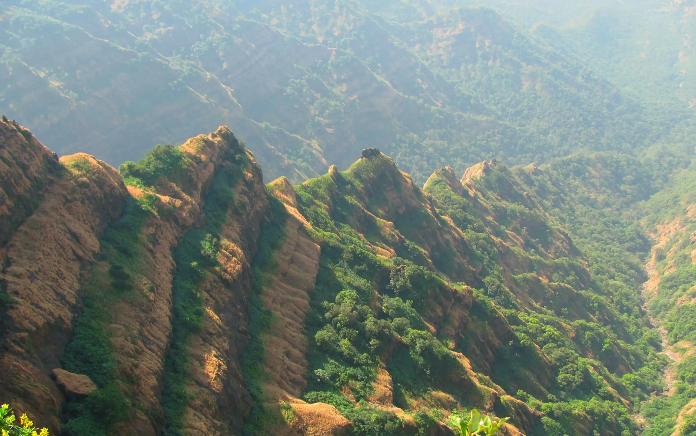
A descent of over 1,000 m from Arthur's Seat down the Dhawale Ghat on loose scree, with an exposed rock patch at the very start and drops of 200-500 ft beside the trail; the path fades in tall post-monsoon grass, water is scarce, and the Chandragad climb ends on another steep scree slope and a short rock patch.
Photos
On the trail
The route
Day by day
Day 1
Arthur's Seat, Mahabaleshwar → Dhawale village (via Bahirichi Ghumati and Dhawale Ghat)
1,340 m → 220 m
Day 2 · highest point
Dhawale village → Dhawale village (via Shelarwadi and Chandragad top)
220 m → 710 m → 220 m
Ups and downs
Altitude profile
Where it is
Map
Trailhead and high point only — not a recorded track. Use it with a proper map.
Weather
Next 5 days on the trail
Live forecast for the trailhead and the high point. Mountain weather changes fast — check again on the morning you start.
Trailhead · Arthur's Seat, Mahabaleshwar
at 1,340 mLoading forecast…
High point · Arthur's Seat (start of the descent)
at 1,340 mLoading forecast…
Each day: high / low °C · rain mm and chance · snow cm · wind km/h
Weather data: Open-Meteo.comModel forecast, not an official warning. For alerts follow IMD and the local administration.
Plan the trip
How to reach
- Trailhead
- Arthur's Seat, Mahabaleshwar
- Nearest railway
- Satara (about 60 km from Mahabaleshwar); Pune Junction for most long-distance trains
- Nearest airport
- Pune Airport
- By road
- Pune to Mahabaleshwar (about 120 km) for the start at Arthur's Seat; Dhawale to Poladpur (about 20-25 km via Umrath and Kapde) for the return; Poladpur is about 183 km from Mumbai on the Mumbai-Goa highway, and an evening S.T. bus from Poladpur/Mahad halts overnight at Dhawale
- Drive
- About 3.5 h from Pune
Plan the trip
Permits and fees
We could not confirm the current permit rules and fees from an official source. Check with the local forest department or tourism office before you go.
Plan the trip
Cost
Self-guided
₹800–2,000
With an operator
₹2,000–4,500
Per person, ex-Pune. Estimates only: we found no operator publishing a current price (Treks and Trails India lists the trek as 'available on request'). The guided range is our estimate for a small-group weekend with transport from Pune. Self-guided covers buses to Mahabaleshwar and back from Poladpur, a village stay and meals in Dhawale, and a share of a local guide from Dhawale, which Trekshitiz strongly recommends.
Gear
Top picks for this trek
The gear that matters most on this route, chosen from its altitude, season and risks.
 Ad · affiliate link
 Ad · affiliate link
 Ad · affiliate link
 Ad · affiliate link
 Ad · affiliate link
 Ad · affiliate link
 Ad · affiliate link
 Ad · affiliate link
Store buttons open a search on that store, not a product we picked. As an Amazon Associate we earn from qualifying purchases. Photos show the kind of item, not a specific product. Affiliate disclosure
Packing checklist
Matched to this trek: altitude, season, days and the risks on the route.
Packed 0 of 24
Tick each item as it goes in the bag.
Know before you go
Good to know
- Mobile network
- Not confirmed by our sources. Mahabaleshwar has coverage; expect little or no signal in the deep Dhawale Ghat valley.
- Last ATM
- Mahabaleshwar (at the start); Poladpur on the way out
- Nearest hospital
- Mahabaleshwar and Poladpur for first care; Mahad for a larger hospital
- Water
- Almost none on the descent: the only reliable water is the small tank at Bahirichi Ghumati (Jorache Paani), about 2 hours below Arthur's Seat. Stream pockets lower down may hold water until January-February. On Chandragad one rock-cut tank near the Shiv mandir has potable water; most of the others are dry or dirty. Carry at least 3 litres and treat all water.
Highlights
- Starting at Arthur's Seat, Mahabaleshwar, with the deep Savitri valley on one side and the Konkan-Deccan divide laid out below
- Descending the old Dhawale Ghat trade route through the dense Javli forest, past the stone shrine of Bahirichi Ghumati
- Darshan of the stone-carved Shivling of Dhawaleshwar Mahadev and Nandi on Chandragad top, worshipped by villagers at Mahashivratri
- Rock-cut water tanks (locals count 14) and fortification on a small fort that once watched the Dhawale Ghat route for Chandrarao More and then for Chhatrapati Shivaji Maharaj
- An optional visit to Umrath, birthplace of Tanaji Malusare, 7-8 km from Dhawale
Risks
- The descent from Arthur's Seat begins with a small, exposed rock patch on loose scree, and later sections pass exposed patches with 200-500 ft drops; the scree is slippery after the monsoon.
- The route is sparsely used and easy to lose, especially in tall green grass after the monsoon; Trekshitiz strongly recommends a guide from Dhawale village and suggests carrying a 50-100 ft rope for the two rock patches.
- Trekshitiz advises against the full Arthur's Seat-Chandragad traverse in the rainy season (only the short Dhawale-Chandragad climb is possible then). No formal closure order for Chandragad was found, but Raigad district has issued monsoon bans on other forts and waterfalls in recent years, so check local orders in June-September.
- Chandragad top and the Ghumati section are open and barren; start the fort climb before about 8:30 am to avoid the sun, and carry enough water, since dehydration and cramps are common on this long day.
- The descent from Chandragad is harder than the climb because of loose scree.
Know before you go
Questions
How difficult is the Arthur's Seat to Chandragad trek?
It is a hard Sahyadri route. Day 1 drops more than 1,000 m from Arthur's Seat to Dhawale village over 13-15 km (6-8 hours) on scree and forest trail with exposed patches; Trekshitiz grades the traverse 'very difficult'. It suits trekkers with prior Sahyadri experience, not first-timers.
Can it be done in one day?
Yes, but it is long. Indiahikes splits it over two days (Arthur's Seat to Dhawale, then Chandragad and back). Trekshitiz describes doing it in reverse in one day, Dhawale to Chandragad to Arthur's Seat, in about 10-11 hours.
Do I need a guide?
It is strongly recommended. The trail is rarely used and fades in grass after the monsoon. Hire a guide in Dhawale village and agree in advance how far he will go, as some guides only go as far as Jorache Paani near Bahirichi Ghumati.
Can I trek Chandragad in the monsoon?
Trekshitiz advises avoiding the full traverse in the rainy season; only the short climb from Dhawale to Chandragad (about 2 hours up) is practical then. October to February is the usual window.
Where do you stay and how do you get back?
Stay in Dhawale village (or Shelarwadi) or at the village temple with permission; there is no shelter on the fort. An S.T. bus from Poladpur/Mahad halts overnight at Dhawale and leaves in the morning, and Poladpur is about 20-25 km away.
How high is Chandragad?
Sources differ: Trekshitiz gives 2,337 ft (about 710 m), Durgbharari 2,030 ft and Indiahikes 3,500 ft. Terrain data puts the fort top at roughly 650-710 m, so the lower figures are closer. The highest point of the trek is Arthur's Seat at about 1,340 m, where it starts.
In an emergency
Save these numbers before you lose signal. Tap to call.
- 112All emergenciesIndia’s single emergency number — works in every state
- 108Ambulance
- 1077District disaster control room
You are in
District: Raigad (Poladpur taluka); starts in Satara district at MahabaleshwarMaharashtra
- Nearest hospital
- Mahabaleshwar and Poladpur for first care; Mahad for a larger hospital
- Last ATM
- Mahabaleshwar (at the start); Poladpur on the way out
- Phone network
- Not confirmed by our sources. Mahabaleshwar has coverage; expect little or no signal in the deep Dhawale Ghat valley.
Before you set off
- Tell someone your route and when you will be back.
- Carry a charged phone and a power bank.
- Download an offline map of the route.
- Turn back if the weather turns bad — the mountain will wait.
Questions about Chandragad
No questions yet. Ask something and trekkers who have done it can answer.
Share your trek photo with #TreksAndTrails
I trekked this
Did Chandragad look different from this page? Tell us what changed and we will check it.
Where this comes from
Sources
Last reviewed:
- Arthur Seat - Chandragad Trek — Indiahikes
- Arthur Seat Chandragad Trek | Treks and Trails India — Treks and Trails India
- Chandragad to Arthur seat, Western Ghats, Sahyadri, Adventure, Trekking — Trekshitiz
- Chandragad(Dhavalgad), Western Ghats, Sahyadri, Adventure, Trekking — Trekshitiz
- Chandragad Fort — Wikipedia
- CHANDRAGAD | Durgbharari — Durgbharari
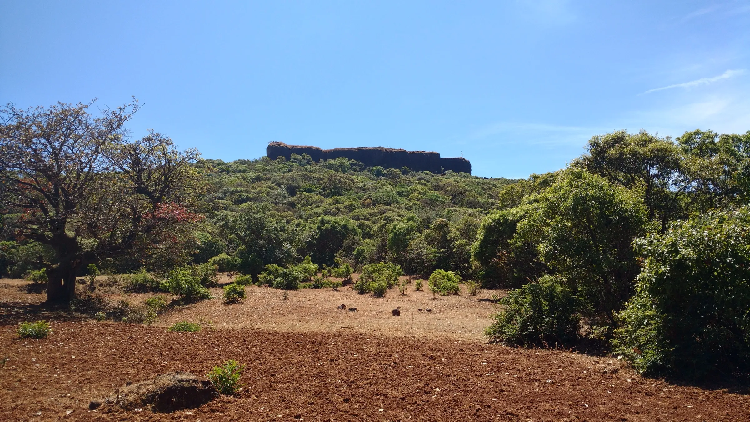
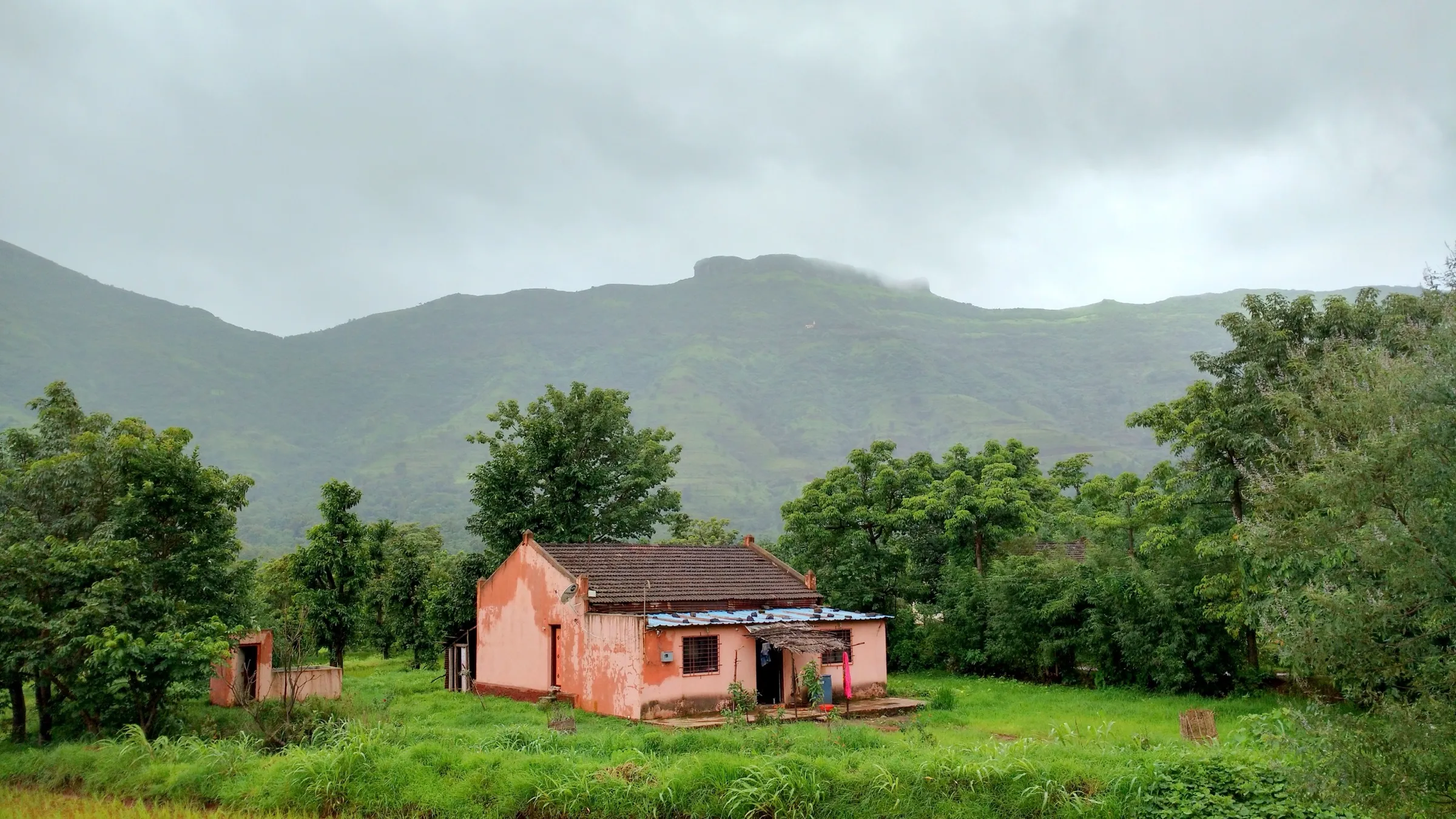
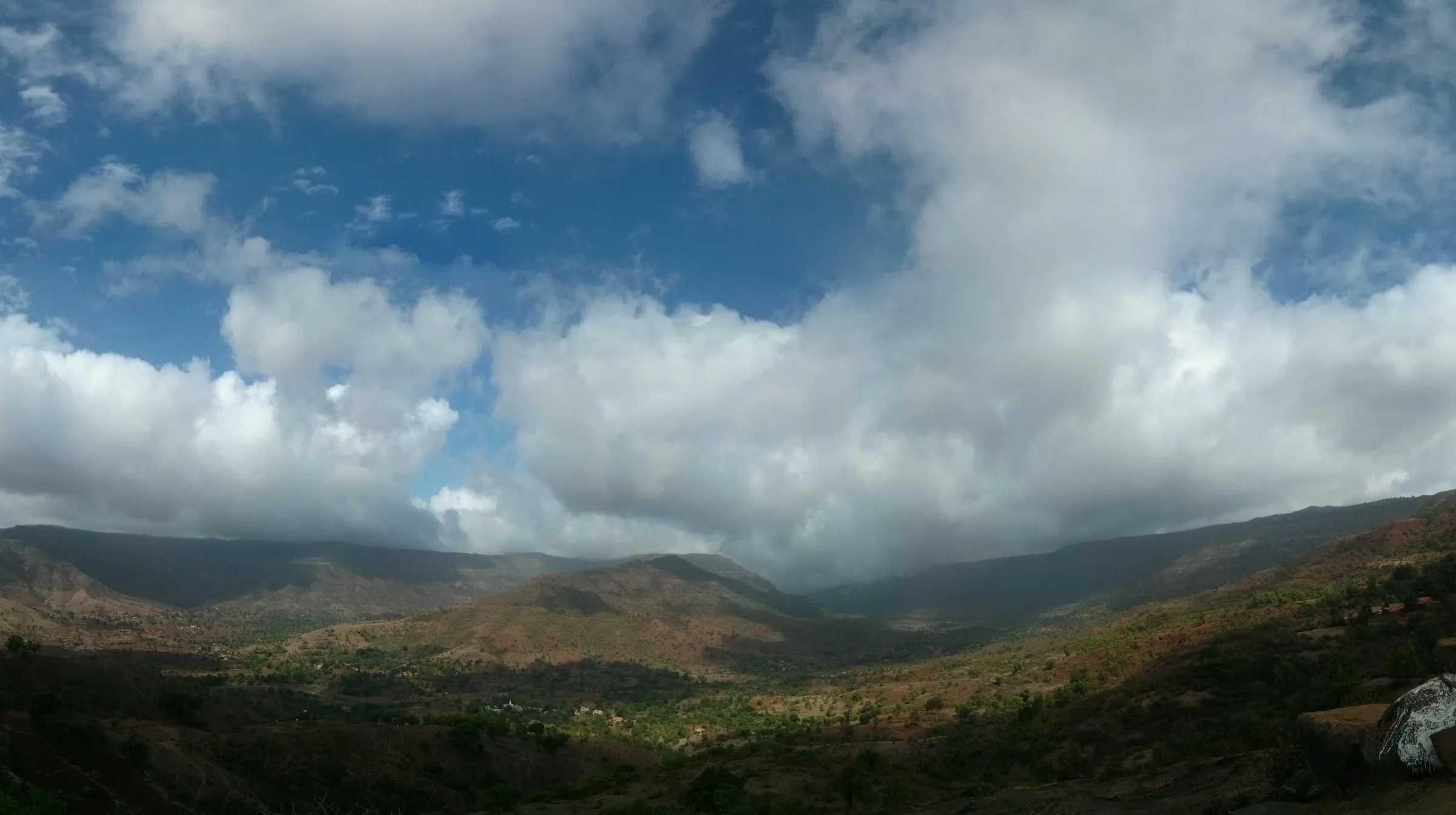
Photos: The.sgr, CC BY-SA 4.0; Rishabh Tatiraju, CC BY-SA 3.0; Appy91, CC BY-SA 4.0