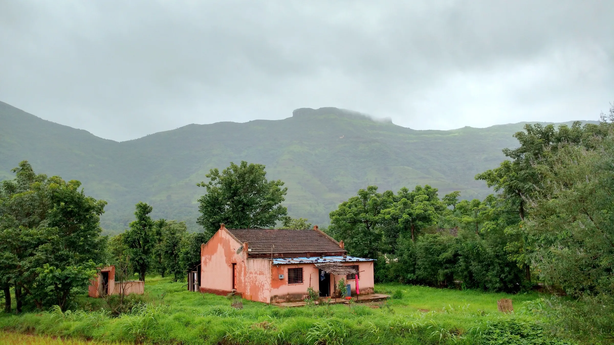
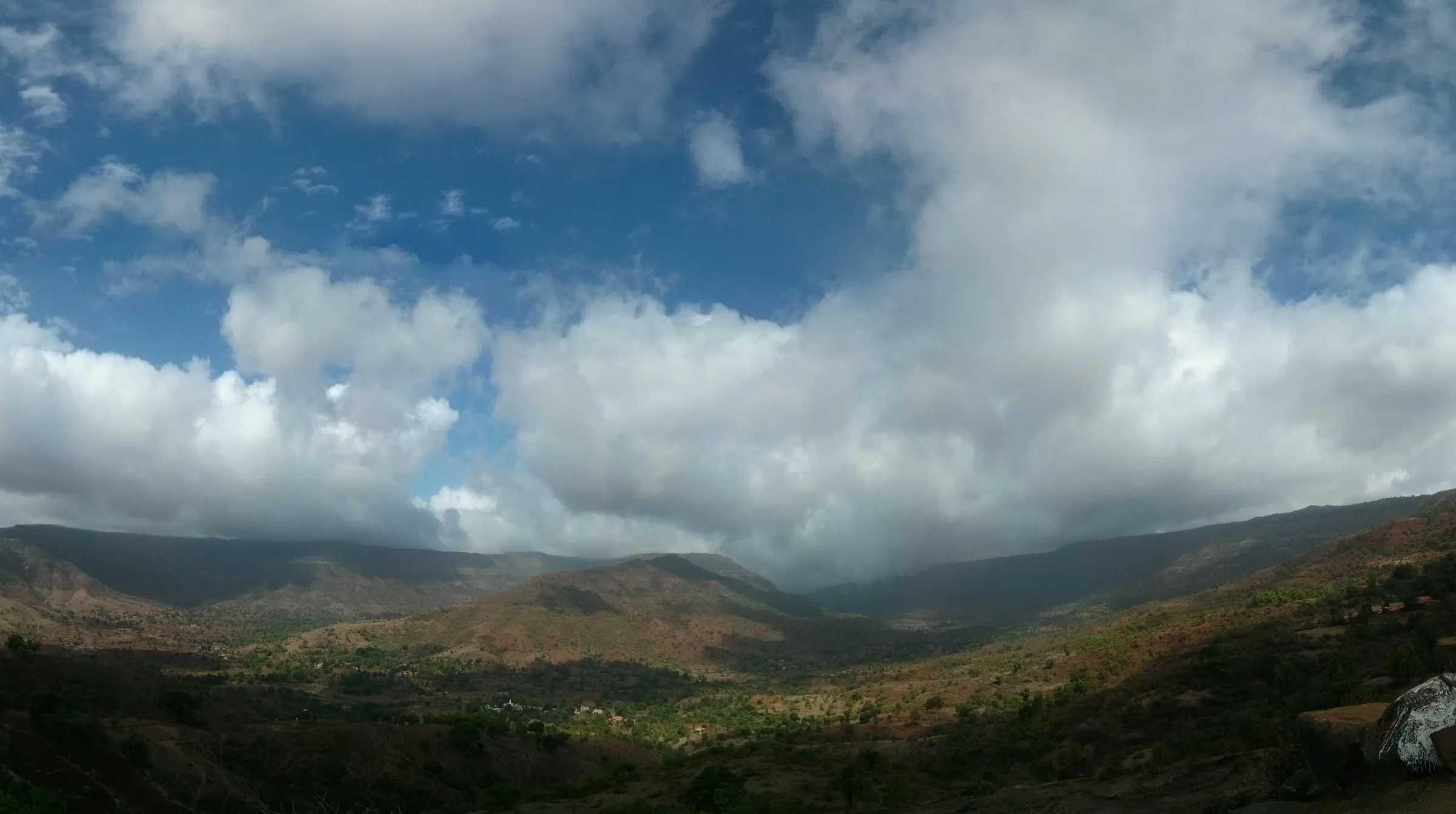
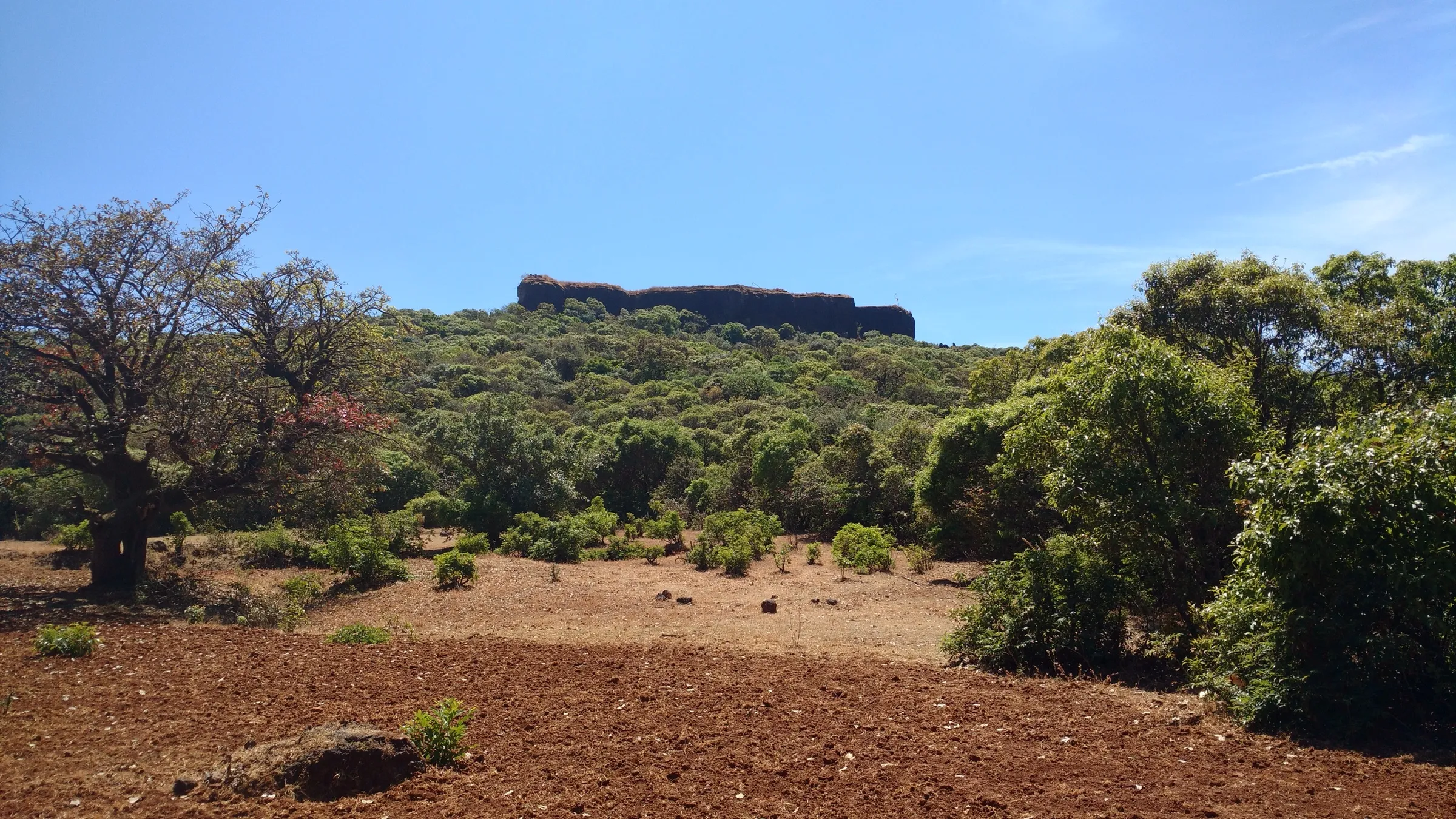
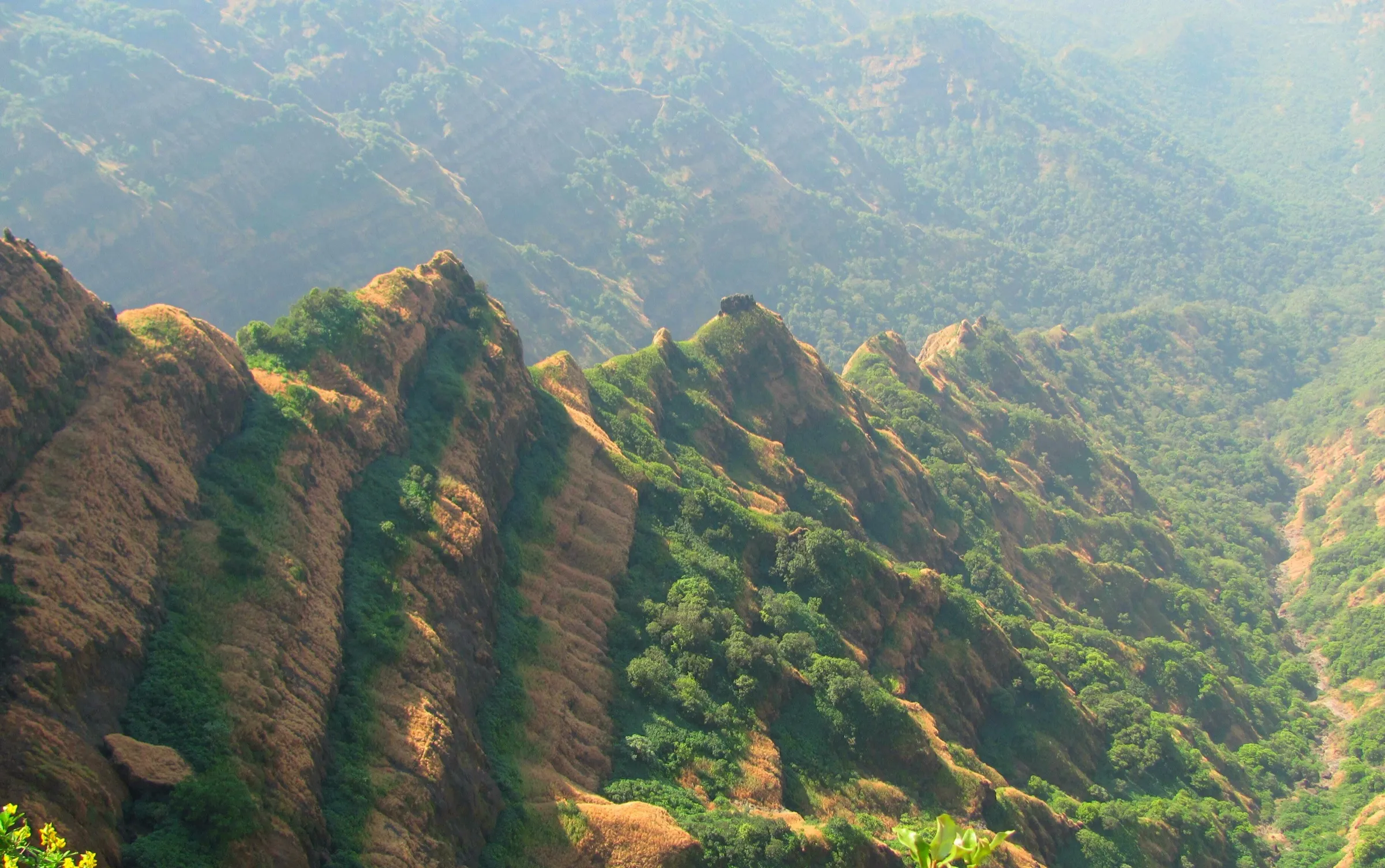
Mahabaleshwar Range Trek
Satara, Maharashtra
Opens without signal on this phone, with the map file and checklist. Saved for offline →
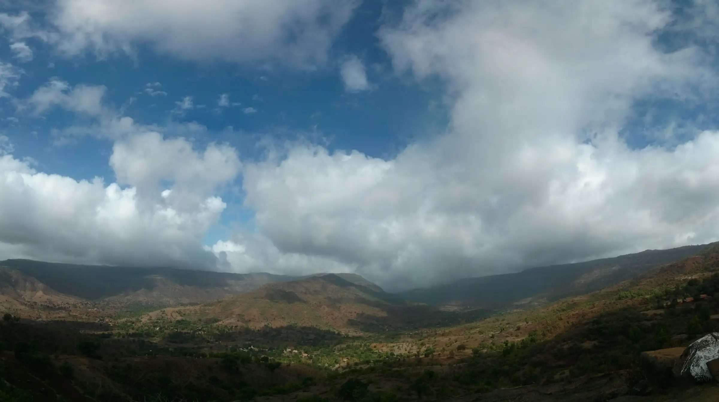
- Max altitude
- 1,379 m
- Days
- 4 days
- Distance
- 31.4 km
- Difficulty
- Moderate
Indiahikes rates it easy-moderate, but you walk about 31 km in four days with repeated plateau-to-valley climbs and descents, a narrow ledge below Kenjalgad, a steep final climb to Kamalgad with ladders fixed by locals, and short steep drops from Koleshwar to Jor that turn slippery in rain.
Photos
On the trail
The route
Day by day
Day 1
Kenjalgad base (Ghera Kenjal) → Raireshwar Plateau
1,131 m → 1,373 m
Day 2
Raireshwar Plateau → Madgani (via Jambhali Lake, Tupewadi and Kamalgad)
1,373 m → 1,375 m → 1,000 m
Day 3 · highest point
Madgani → Jor
1,000 m → 1,379 m → 831 m
Day 4
Jor → Kshetra Mahabaleshwar (Krishnamai Mandir), then drive to Pune
831 m → 1,330 m
Ups and downs
Altitude profile
Where it is
Map
Trailhead and high point only — not a recorded track. Use it with a proper map.
Weather
Next 5 days on the trail
Live forecast for the trailhead and the high point. Mountain weather changes fast — check again on the morning you start.
Trailhead · Kenjalgad base (Ghera Kenjal)
at 1,131 mLoading forecast…
High point · Koleshwar Plateau top
at 1,379 mLoading forecast…
Each day: high / low °C · rain mm and chance · snow cm · wind km/h
Weather data: Open-Meteo.comModel forecast, not an official warning. For alerts follow IMD and the local administration.
Plan the trip
How to reach
- Trailhead
- Kenjalgad base (Ghera Kenjal) (nearest town: Wai)
- Nearest railway
- Pune Junction
- Nearest airport
- Pune Airport
- By road
- Pune to Kenjalgad base (about 85 km, 2.5 hours, per Indiahikes); Mahabaleshwar back to Pune at the end (about 130 km; Indiahikes allows 5 hours); Wai is the nearest town with hospitals, about an hour by road from any roadhead on the route
- Drive
- About 2.5 h from Pune
Plan the trip
Permits and fees
We could not confirm the current permit rules and fees from an official source. Check with the local forest department or tourism office before you go.
Plan the trip
Cost
Self-guided
₹3,000–7,000
With an operator
₹8,450–10,500
Guided ex-Pune: Indiahikes lists a trek fee of ₹8,450, plus ₹1,550 for transport to and from the base and ₹120 trek insurance (offloading ₹2,000 extra). Only one operator publishes this exact route, so the guided range rests on one price. Self-guided ex-Pune is our estimate: buses or shared jeeps via Bhor/Wai, three nights in village homestays with meals, and a local guide for the Kamalgad ladders and the Koleshwar forest.
Gear
Top picks for this trek
The gear that matters most on this route, chosen from its altitude, season and risks.
 Ad · affiliate link
 Ad · affiliate link
 Ad · affiliate link
 Ad · affiliate link
 Ad · affiliate link
 Ad · affiliate link
- Ad · affiliate link
 Ad · affiliate link
Store buttons open a search on that store, not a product we picked. As an Amazon Associate we earn from qualifying purchases. Photos show the kind of item, not a specific product. Affiliate disclosure
Packing checklist
Matched to this trek: altitude, season, days and the risks on the route.
Packed 0 of 30
Monsoon months (Jul–Sep): pack everything in plastic or a dry bag and wear shoes with good grip.
Tick each item as it goes in the bag.
Know before you go
Good to know
- Mobile network
- Not confirmed by our sources; expect patchy signal on the plateaus and in the Koleshwar forest.
- Last ATM
- Wai or Bhor (not confirmed by our sources; carry cash for homestays)
- Nearest hospital
- Wai (Indiahikes names Geetanjali Multispeciality Hospital); Pune for serious cases
- Water
- Not confirmed by our sources; night stops are villages and homestays. Carry 2 litres, which Indiahikes asks for on sunny days.
Highlights
- A windy ridge walk from Kenjalgad to Raireshwar with the Dhom dam backwaters on one side
- Raireshwar Plateau and Shri Raireshwar Mandir, where Chhatrapati Shivaji Maharaj took the oath of Swaraj; Sonki and Terda flowers carpet it after the rains
- Jambhali Lake and the climb to Kamalgad, with its deep prisoners' well and 360-degree views
- Dense forest across the Koleshwar Plateau and a riverside camp at Jor on the Ved Ganga
- Ends at the Krishnamai Mandir in Kshetra Mahabaleshwar, at the source of the Krishna river
Risks
- A narrow ledge just after descending Kenjalgad leads onto the Raireshwar ridge; watch your footing.
- The final climb to Kamalgad is steep with ladders fixed by locals (trekkers report using ropes on the slope); wet rock is very slippery in monsoon.
- Short steep stretches on the descent from Koleshwar Plateau to Jor test balance; trek poles help.
- Monsoon brings heavy rain, waterfall and stream crossings, leeches and fog; strong winds on the plateaus can chill you even in winter.
- Sunny days are hot (March–June especially): carry a cap, full sleeves and at least 2 litres of water.
- During red alerts the Satara district administration can close tourist spots, waterfalls and ghat roads at short notice (it did so in July 2026); check current orders before a monsoon trip.
Know before you go
Questions
When is the best time for the Mahabaleshwar Range trek?
Indiahikes runs it from July to the first few weeks of February. July–September is the full monsoon with waterfalls and green plateaus; October–November has greenery with less rain and firmer trails; December–January gives clear views and cold winds.
How difficult is the Mahabaleshwar Range trek?
Indiahikes grades it easy-moderate and suitable for beginners aged 8 and above, but you cover about 31 km in four days with ascents and descents between plateaus, a narrow ledge, ladder climbs to Kamalgad and a steep descent to Jor. Indiahikes asks that you can walk, jog or run 5 km in under 40 minutes.
Where does the trek start and end?
It starts at the base of Kenjalgad (about 85 km and 2.5 hours from Pune) and ends at the Krishnamai Mandir in Kshetra Mahabaleshwar, about 130 km from Pune. Indiahikes picks up at 5:30 am in Pune and returns there in the evening of day 4.
Where do you stay on the Mahabaleshwar Range trek?
In village homestays and mud houses on Raireshwar and at Madgani, and at a campsite beside the Ved Ganga river near Jor on the third night, per Indiahikes.
What if there is an emergency on the trail?
Roadheads are close at Kenjalgad, Raireshwar, Kamalgad and Mahabaleshwar; the farthest point from a road is on the Koleshwar Plateau, about 5 km away. Wai is the nearest town for medical help, about an hour by road.
In an emergency
Save these numbers before you lose signal. Tap to call.
- 112All emergenciesIndia’s single emergency number — works in every state
- 108Ambulance
- 1077District disaster control room
You are in
District: SataraMaharashtra
- Nearest hospital
- Wai (Indiahikes names Geetanjali Multispeciality Hospital); Pune for serious cases
- Last ATM
- Wai or Bhor (not confirmed by our sources; carry cash for homestays)
- Phone network
- Not confirmed by our sources; expect patchy signal on the plateaus and in the Koleshwar forest.
Before you set off
- Tell someone your route and when you will be back.
- Carry a charged phone and a power bank.
- Download an offline map of the route.
- Turn back if the weather turns bad — the mountain will wait.
Questions about Mahabaleshwar Range
No questions yet. Ask something and trekkers who have done it can answer.
Share your trek photo with #TreksAndTrails
I trekked this
Did Mahabaleshwar Range look different from this page? Tell us what changed and we will check it.
Where this comes from
Sources
Last reviewed:
- Mahabaleshwar Range Trek Sahyadri — Indiahikes
- Planning A Trip To Mahabaleshwar Or Panchgani? All Tourist Attractions In Satara Are Closed Until Further Notice (7 Jul 2026) — Pune Pulse
Photos: Ishancshinde, CC BY-SA 3.0; Ccmarathe, CC BY-SA 4.0; Ccmarathe, CC BY-SA 4.0