Rasalgad Sumargad Mahipatgad Trek
Ratnagiri, Maharashtra
Opens without signal on this phone, with the map file and checklist. Saved for offline →
- Max altitude
- 940 m
- Days
- 2 days
- Distance
- 16 km
- Difficulty
- Difficult
A long first day of about 11-12 km along a forested spur, with the steep, overgrown climb to Sumargad that fort guides grade hard, little water on the ridge, and three separate fort climbs in two days.
Photos
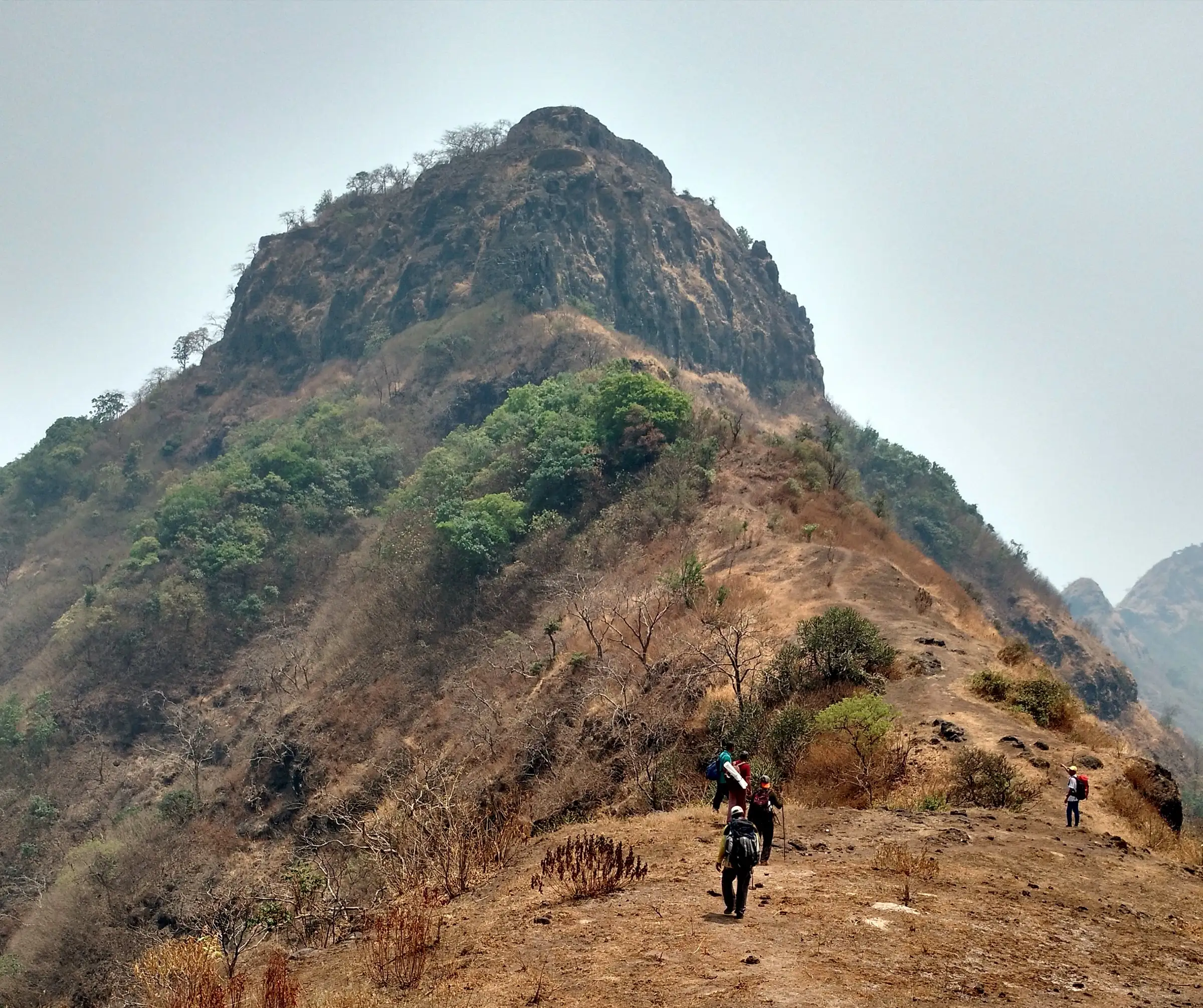
On the trail
The route
Day by day
Day 1
Rasalwadi → Wadi Beldar (via Rasalgad and Sumargad)
440 m → 905 m → 719 m
Day 2 · highest point
Wadi Beldar → Wadi Beldar (via Mahipatgad)
719 m → 940 m → 719 m
Ups and downs
Altitude profile
Where it is
Map
Trailhead and high point only — not a recorded track. Use it with a proper map.
Weather
Next 5 days on the trail
Live forecast for the trailhead and the high point. Mountain weather changes fast — check again on the morning you start.
Trailhead · Rasalwadi
at 440 mLoading forecast…
High point · Mahipatgad
at 940 mLoading forecast…
Each day: high / low °C · rain mm and chance · snow cm · wind km/h
Weather data: Open-Meteo.comModel forecast, not an official warning. For alerts follow IMD and the local administration.
Plan the trip
How to reach
- Trailhead
- Rasalwadi (nearest town: Khed)
- Nearest railway
- Khed (Konkan Railway)
- Nearest airport
- Pune International Airport
- By road
- Mumbai via the Mumbai-Goa highway to Khed (Bharne Naka), then about 18 km to Rasalwadi; Pune via Bhor, Poladpur and Bharne to Rasalwadi
- Drive
- About 5.5 h from Mumbai
Plan the trip
Permits and fees
We could not confirm the current permit rules and fees from an official source. Check with the local forest department or tourism office before you go.
Plan the trip
Cost
Self-guided
₹1,200–3,000
With an operator
₹2,400–3,000
Per person, ex-Mumbai or ex-Pune. Guided prices published by operators: Treks and Trails India ₹2,400 Dadar to Dadar (non-AC transport, tent stay, most meals); Deccan Hikers and Outdoors ₹2,999 Pune to Pune or Mumbai to Mumbai (next listed batch March 2027). Self-guided is an estimate: train or ST bus to Khed, a shared jeep to Rasalwadi and back from Wadi Beldar, simple meals in the villages and a temple or tent night.
Gear
Top picks for this trek
The gear that matters most on this route, chosen from its altitude, season and risks.
 Ad · affiliate link
 Ad · affiliate link
 Ad · affiliate link
 Ad · affiliate link
 Ad · affiliate link
 Ad · affiliate link
 Ad · affiliate link
 Ad · affiliate link
Store buttons open a search on that store, not a product we picked. As an Amazon Associate we earn from qualifying purchases. Photos show the kind of item, not a specific product. Affiliate disclosure
Packing checklist
Matched to this trek: altitude, season, days and the risks on the route.
Packed 0 of 23
Tick each item as it goes in the bag.
Know before you go
Good to know
- Mobile network
- Not confirmed by our sources; expect weak or no signal in the forest between the forts.
- Last ATM
- Khed
- Nearest hospital
- Khed for first care; Chiplun for larger hospitals
- Water
- Rock-cut cisterns on Rasalgad and Sumargad, two large wells on Mahipatgad that trekkers drink from, and a small well on the path above Wadi Beldar. The long ridge stretch between Rasalgad and Sumargad has little water; operators ask for at least 3 litres per person. Treat all water.
Highlights
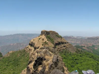
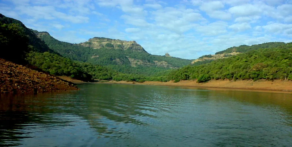
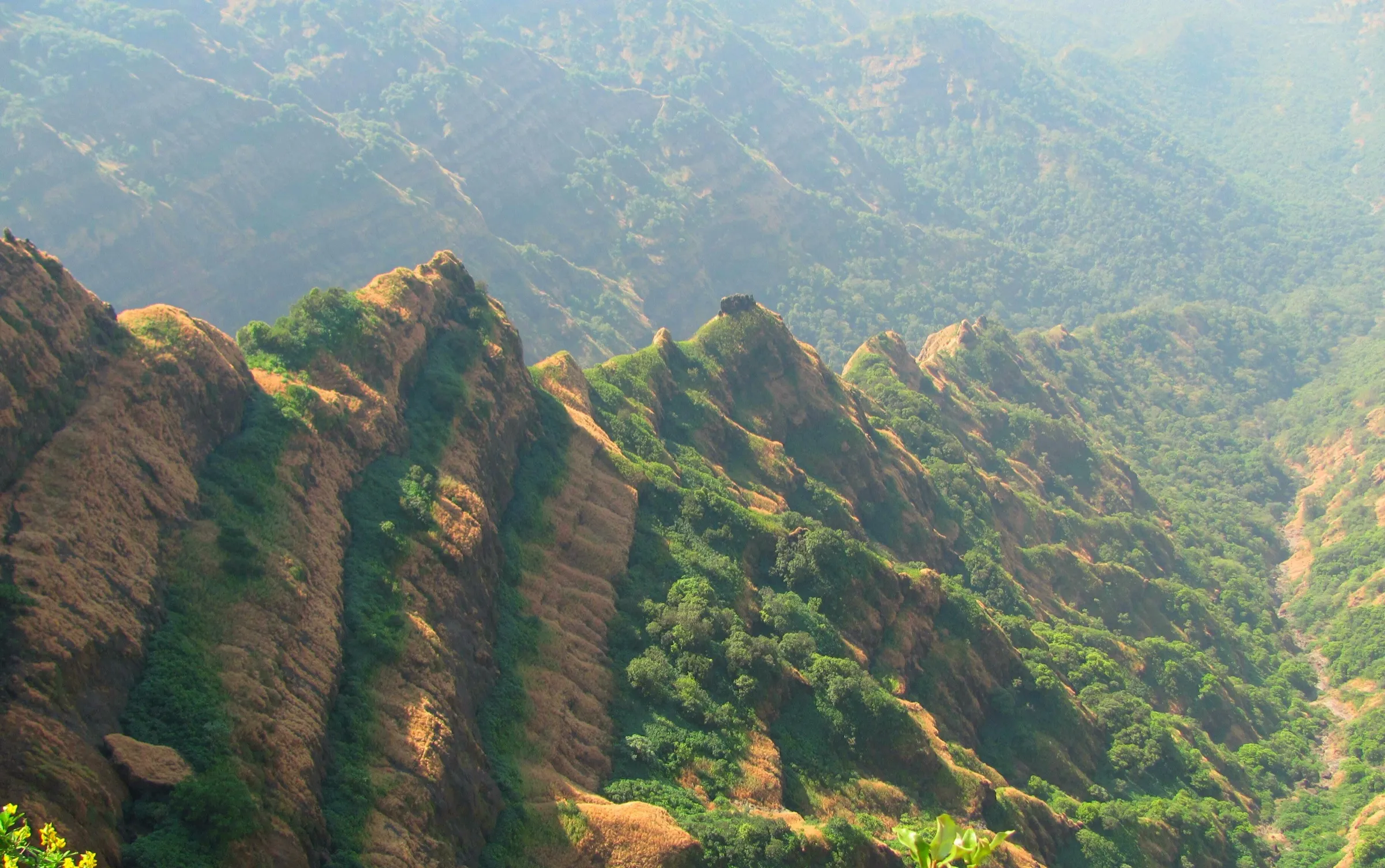
- Three forts on one 8 km spur east of Khed in a single traverse: Rasalgad in the south, Sumargad in the middle and Mahipatgad at the northern end
- Rasalgad's two intact gateways, the Zolai Devi temple with its stone deepmala, and more than a dozen old cannons
- Sumargad's narrow rocky summit with water cisterns and a Shivling inside a rock cave
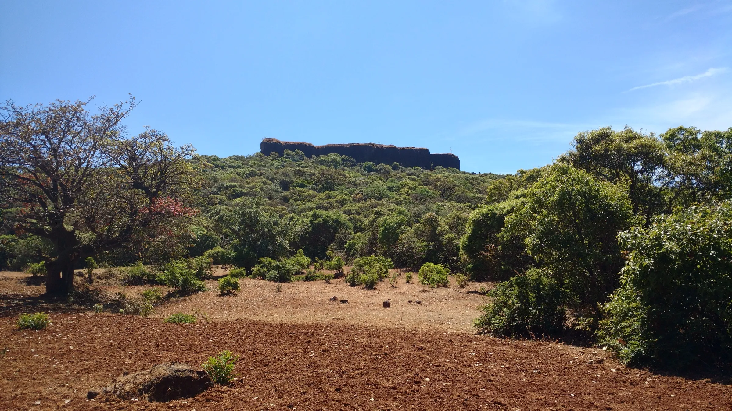
- Mahipatgad's large forested tableland with six gateways, a rock-cut Shivling near the Shivganga gate and the Pareshwar temple
- Views of Chakdev and Parvatgad from the ridge
Risks
- The approach to Sumargad is steep and strenuous through tall grass and karvi thickets; the path is easy to lose without a local guide.
- Water is scarce on the ridge between Rasalgad and Sumargad; carry at least 3 litres.
- Mahipatgad is in dense forest; wild animals such as leopards and wild boar are reported, and snakes are common.
- In the monsoon (June to September) the rock and clay paths turn slippery and visibility on the ridge drops; no formal ban on these forts was found, but check with the Khed tehsil office before going.
- Late-season heat from March onwards makes the long first day tiring on the exposed sections.
Know before you go
Questions
Can Rasalgad, Sumargad and Mahipatgad be done in one trip?
Yes. The three forts sit on the same spur about 8 km long, so most groups cover them together over two days: Rasalgad and Sumargad on one day with a night at Wadi Beldar, and Mahipatgad the next morning. Some operators walk it the other way, starting at Wadi Beldar.
Which is the hardest of the three forts?
Sumargad. Rasalgad is a short climb of a few minutes to about 20 minutes from the road head, and Mahipatgad is about 1.5-2 hours from Wadi Beldar, but Sumargad's approach is steep, overgrown and rarely used; fort guides grade it hard.
When is the best time to do this trek?
The post-monsoon and winter months. Wikipedia gives December and January as the best time for Mahipatgad, and operators run batches from January to March. Expect slippery paths in the monsoon and heat from late March.
Where can you stay overnight?
Operators camp or use homestays at Wadi Beldar, a small hamlet below Mahipatgad where tea and food are available and a Maruti temple can shelter trekkers. The Pareshwar temple on Mahipatgad and the Zolai Devi temple on Rasalgad are also used by trekkers for a night halt.
How do you reach the base villages?
Rasalwadi is about 18 km from Bharne Naka near Khed on the Mumbai-Goa highway, with a paved road to the foot of Rasalgad. Since 2019 an unpaved road from Wadi Jaitapur reaches Wadi Beldar, so jeeps can get close to the base of Mahipatgad.
In an emergency
Save these numbers before you lose signal. Tap to call.
- 112All emergenciesIndia’s single emergency number — works in every state
- 108Ambulance
- 1077District disaster control room
You are in
District: RatnagiriMaharashtra
- Nearest hospital
- Khed for first care; Chiplun for larger hospitals
- Last ATM
- Khed
- Phone network
- Not confirmed by our sources; expect weak or no signal in the forest between the forts.
Before you set off
- Tell someone your route and when you will be back.
- Carry a charged phone and a power bank.
- Download an offline map of the route.
- Turn back if the weather turns bad — the mountain will wait.
Questions about Rasalgad Sumargad Mahipatgad
No questions yet. Ask something and trekkers who have done it can answer.
Share your trek photo with #TreksAndTrails
I trekked this
Did Rasalgad Sumargad Mahipatgad look different from this page? Tell us what changed and we will check it.
Where this comes from
Sources
Last reviewed:
- Rasalgad Sumargad Mahipatgad Trek — Treks and Trails India (treksandtrails.org)
- Mahipatgad-Sumargad-Rasalgad Range Trek — Deccan Hikers and Outdoors
- Rasalgad Sumargad Mahipatgad - Explorers Adventure Trek — Explorers Group
- Mahipatgad — Wikipedia
- Rasalgad — Wikipedia
- Mahipatgad — Durgbharari
- Sumargad — Durgbharari
- Rasalgad — Durgbharari
Photos: Ccmarathe, CC BY-SA 3.0; Ccmarathe, CC BY-SA 3.0; Ccmarathe, CC BY-SA 3.0