Sajjangad Trek
Satara, Maharashtra
Opens without signal on this phone, with the map file and checklist. Saved for offline →
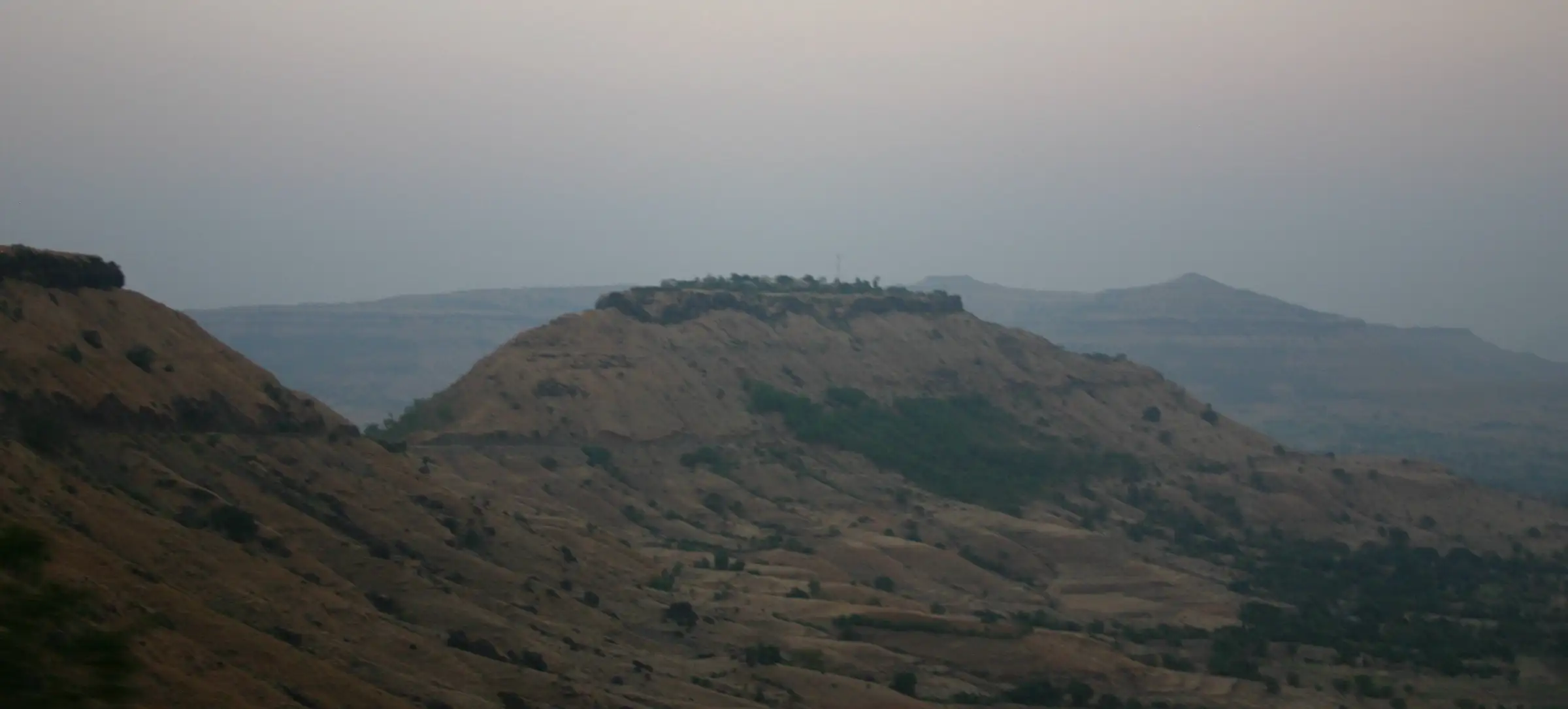
- Max altitude
- 1,006 m
- Days
- 1 day
- Distance
- 4 km
- Difficulty
- Easy
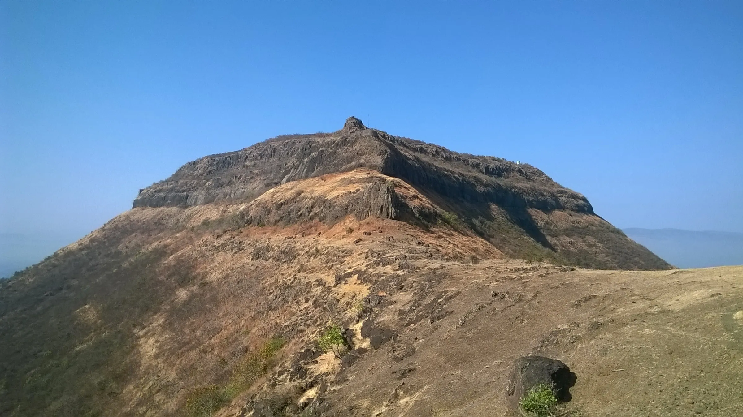
A short climb of about 300 m on a built stone stairway from Parali village (about an hour up); the fort can also be reached by road to a parking plateau and about 230 steps, so it suits beginners and families.
Photos
On the trail
The route
Day by day
Day 1 · highest point
Parali → Parali
690 m → 1,006 m → 690 m
Ups and downs
Altitude profile
Where it is
Map
Trailhead and high point only — not a recorded track. Use it with a proper map.
Weather
Next 5 days on the trail
Live forecast for the trailhead and the high point. Mountain weather changes fast — check again on the morning you start.
Trailhead · Parali
at 690 mLoading forecast…
High point · Sajjangad top (Shri Ram mandir and Samarth Ramdas Swami samadhi)
at 1,006 mLoading forecast…
Each day: high / low °C · rain mm and chance · snow cm · wind km/h
Weather data: Open-Meteo.comModel forecast, not an official warning. For alerts follow IMD and the local administration.
Plan the trip
How to reach
- Trailhead
- Parali (nearest town: Satara)
- Nearest railway
- Satara
- Nearest airport
- Pune International Airport (about 120 km)
- By road
- Satara city (about 10–18 km; local buses, autos and cabs from Rajwada); Pune (about 127 km, roughly 3 hours via NH48); Mumbai (about 273 km via NH48, 5–6 hours)
- Drive
- About 3 h from Pune
Plan the trip
Permits and fees
We could not confirm the current permit rules and fees from an official source. Check with the local forest department or tourism office before you go.
Plan the trip
Cost
Self-guided
₹150–800
With an operator
₹1,050–1,300
Per person. Guided: ex-Pune; Trekkers of India sells a one-day Ajinkyatara & Sajjangad trek at ₹999 (listed ₹1,199) + 5% GST including transport and meals — the only current operator price we found for a Sajjangad day trip. Self-guided ex-Satara is our estimate: bus, auto or shared cab from Satara Rajwada and back, plus snacks; the Shri Samarth Seva Mandal serves prasad meals free to devotees and no entry fee is mentioned by our sources.
Gear
Top picks for this trek
The gear that matters most on this route, chosen from its altitude, season and risks.
 Ad · affiliate link
 Ad · affiliate link
 Ad · affiliate link
 Ad · affiliate link
 Ad · affiliate link
 Ad · affiliate link
 Ad · affiliate link
- Ad · affiliate link
Store buttons open a search on that store, not a product we picked. As an Amazon Associate we earn from qualifying purchases. Photos show the kind of item, not a specific product. Affiliate disclosure
Packing checklist
Matched to this trek: altitude, season, days and the risks on the route.
Packed 0 of 18
Tick each item as it goes in the bag.
Know before you go
Good to know
- Mobile network
- Not confirmed by our sources; the fort is close to Satara city — check locally.
- Last ATM
- Satara city
- Nearest hospital
- Primary Health Centre at Parali for first aid; Satara city hospitals for anything serious
- Water
- Drinking water is available at the fort, where the Sonale tank's water is used for drinking; carry your own bottle for the stairway climb.
Highlights
- Darshan at the samadhi of Sadguru Samarth Ramdas Swami, beneath the Shri Ram mandir, where the Shri Ramdas Swami Sansthan keeps daily puja, abhishek, bhajan and reading of the Dasbodh
- The old stone stairway up from Parali village, lined with railings and shrines of Shri Maruti, and the Shivaji Mahadarwaja and Samarth gates at the top
- Anglai Devi mandir, established by Samarth Ramdas Swami, and the Ghodale and Sonale tanks on the plateau
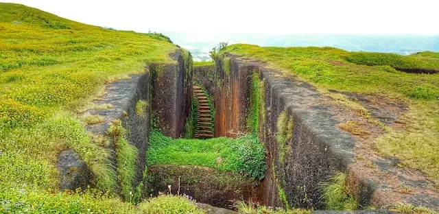
- Ramghal, a deep rock-cut crevice a short walk along the fort's edge path
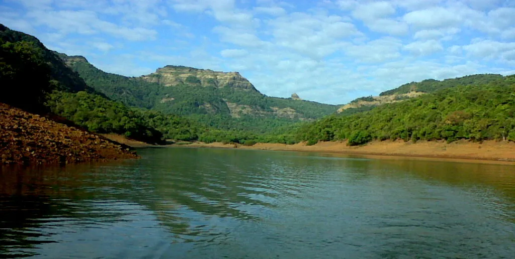
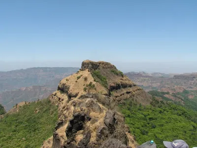
- Wide views over the Urmodi dam and the Sahyadri ridges around Satara; free Mahaprasad served to devotees
Risks
- Monsoon (June–September): the stone steps become slippery — Maharashtra Tourism warns of this; wear shoes with grip.
- Summer (March–May) is hot on the open stairway; climb early in the morning and carry water.
- The fort is open to devotees only from about 5 am to 9 pm and the gates are shut at night; plan to be down before closing.
- Large crowds of devotees on festival days such as Shiv Jayanti, when thousands walk up.
- Keep away from the fort's cliff edges, especially near Ramghal and the outer walls.
Know before you go
Questions
Can you drive to the top of Sajjangad?
Yes. A road goes up to a parking plateau just below the fort, and from there a stone staircase of about 230 steps leads to the entrance. Walkers who want a real climb take the older stairway from Parali village at the foot of the hill, about an hour up.
What is the best time to visit Sajjangad?
October to February is the most recommended season (cool and clear). Monsoon makes the hill green and misty but the steps get slippery; summer mornings are fine but the afternoons are hot.
What are Sajjangad's timings, and can you stay on the fort?
The fort is open to devotees from about 5 am to 9 pm every day. Shri Samarth Seva Mandal and the Sansthan serve Mahaprasad free at noon and in the evening, and offer rooms to devotees who wish to stay the night.
How difficult is the Sajjangad trek?
Easy. Operators and fort guides rate it suitable for beginners; it is a well-maintained stepped path with railings. Allow about an hour to climb from Parali and one to two hours to see the whole fort.
How do I reach Sajjangad from Satara?
Local buses, autos and cabs run from Rajwada in Satara city to Sajjangad and Parali. Satara is the nearest railway station; Pune airport is about 120 km away.
In an emergency
Save these numbers before you lose signal. Tap to call.
- 112All emergenciesIndia’s single emergency number — works in every state
- 108Ambulance
- 1077District disaster control room
You are in
District: SataraMaharashtra
- Nearest hospital
- Primary Health Centre at Parali for first aid; Satara city hospitals for anything serious
- Last ATM
- Satara city
- Phone network
- Not confirmed by our sources; the fort is close to Satara city — check locally.
Before you set off
- Tell someone your route and when you will be back.
- Carry a charged phone and a power bank.
- Download an offline map of the route.
- Turn back if the weather turns bad — the mountain will wait.
Questions about Sajjangad
No questions yet. Ask something and trekkers who have done it can answer.
Share your trek photo with #TreksAndTrails
I trekked this
Did Sajjangad look different from this page? Tell us what changed and we will check it.
Where this comes from
Sources
Last reviewed:
- Sajjangad Fort — Maharashtra Tourism (Government of Maharashtra) (official)
- Sajjangad — Wikipedia
- Sajjangad — Durgbharari
- Sajjangad Fort Information — Treks and Trails India
- Ajinkyatara & Sajjangad Trek — Trekkers of India
Photos: Ajit Mungale, CC BY-SA 3.0; Himanshu Sarpotdar, CC BY 2.0; Vinayaraj, CC BY-SA 4.0