Dategad Trek
Satara, Maharashtra
Opens without signal on this phone, with the map file and checklist. Saved for offline →
- Max altitude
- 994 m
- Days
- 1 day
- Distance
- 3 km
- Difficulty
- Easy
A short climb of about 15-45 minutes from the base village on a path with rock-cut steps at the gate; Durgbharari grades it easy, while one Pune operator lists it as medium because of the long drive and the sun on the open plateau.
Photos
On the trail
The route
Day by day
Day 1 · highest point
Tolewadi → Tolewadi (via Dategad fort top)
814 m → 994 m → 814 m
Ups and downs
Altitude profile
Where it is
Map
Trailhead and high point only — not a recorded track. Use it with a proper map.
Weather
Next 5 days on the trail
Live forecast for the trailhead and the high point. Mountain weather changes fast — check again on the morning you start.
Trailhead · Tolewadi
at 814 mLoading forecast…
High point · Dategad fort top
at 994 mLoading forecast…
Each day: high / low °C · rain mm and chance · snow cm · wind km/h
Weather data: Open-Meteo.comModel forecast, not an official warning. For alerts follow IMD and the local administration.
Plan the trip
How to reach
- Trailhead
- Tolewadi (nearest town: Patan)
- Nearest railway
- Karad (about 37 km by road from Tolewadi)
- Nearest airport
- Kolhapur Airport (about 70 km straight-line); Pune International Airport has more flights
- By road
- Patan town (about 7 km to Tolewadi, 15 km to Kawadewadi); Karad (about 37 km, 1-1.25 hours); Satara city (about 74 km, about 2 hours); Pune (an operator's day trip leaves at 5 am and reaches the base village around 9 am)
- Drive
- About 4 h from Pune
Plan the trip
Permits and fees
We could not confirm the current permit rules and fees from an official source. Check with the local forest department or tourism office before you go.
Plan the trip
Cost
Self-guided
₹800–2,000
With an operator
₹1,299
Per person, ex-Pune. Treks and Trails India lists a one-day Pune-Pune trip at ₹1,299 (non-AC vehicle, breakfast and trek leader included), but showed no upcoming departures in October 2026; we found no second operator's current price. Self-guided is an estimate: bus from Pune to Karad or Patan and a hired vehicle from Patan to the base (Durgbharari notes there is no ST bus on this road, so a private vehicle is easier), plus food.
Gear
Top picks for this trek
The gear that matters most on this route, chosen from its altitude, season and risks.
 Ad · affiliate link
 Ad · affiliate link
 Ad · affiliate link
 Ad · affiliate link
 Ad · affiliate link
 Ad · affiliate link
- Ad · affiliate link
 Ad · affiliate link
Store buttons open a search on that store, not a product we picked. As an Amazon Associate we earn from qualifying purchases. Photos show the kind of item, not a specific product. Affiliate disclosure
Packing checklist
Matched to this trek: altitude, season, days and the risks on the route.
Packed 0 of 17
Tick each item as it goes in the bag.
Know before you go
Good to know
- Mobile network
- Not confirmed by our sources; expect coverage in Patan town and check locally for the fort top.
- Last ATM
- Patan town, about 7 km from Tolewadi
- Nearest hospital
- Rural Hospital, Patan for first care; Karad (about 37 km) for serious cases
- Water
- The rock-cut stepped well holds water but Durgbharari says it is not drinkable, and most tanks on top are dry outside the monsoon. Carry 2-3 litres from Patan.
Highlights
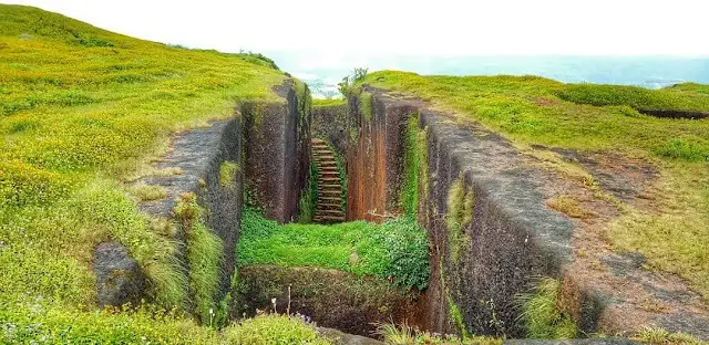
- A huge sword-shaped rock-cut stepped well (Talwar Vihir), about 150 ft long and 70-80 ft deep, with steps to the bottom
- A small cave at the foot of the well with a Shivling and Nandi, and a carved elephant on the well wall
- Rock-carved murtis of Bhagwan Hanuman and Shri Ganesh, about six feet tall, facing the east gate
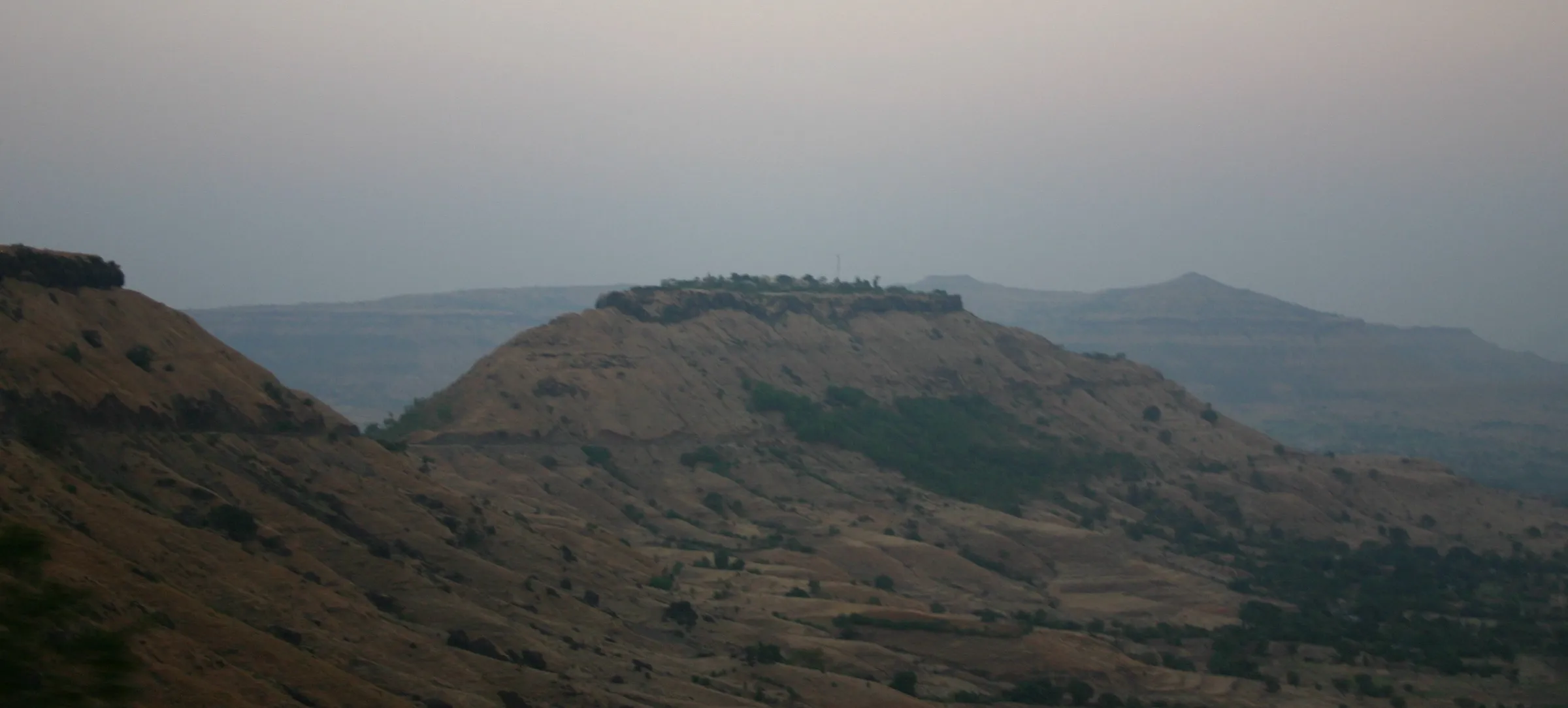
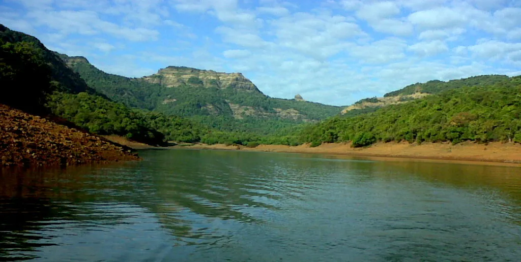
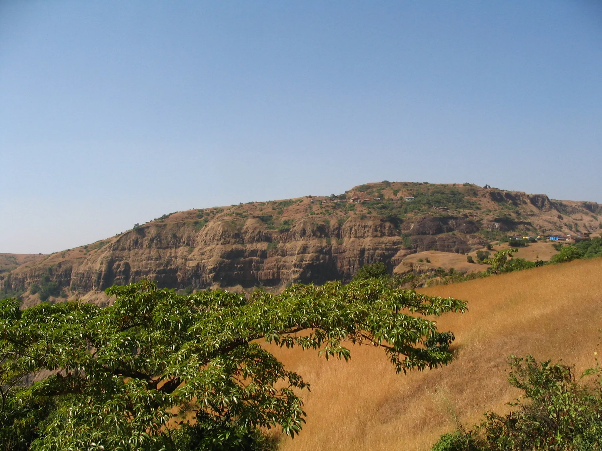
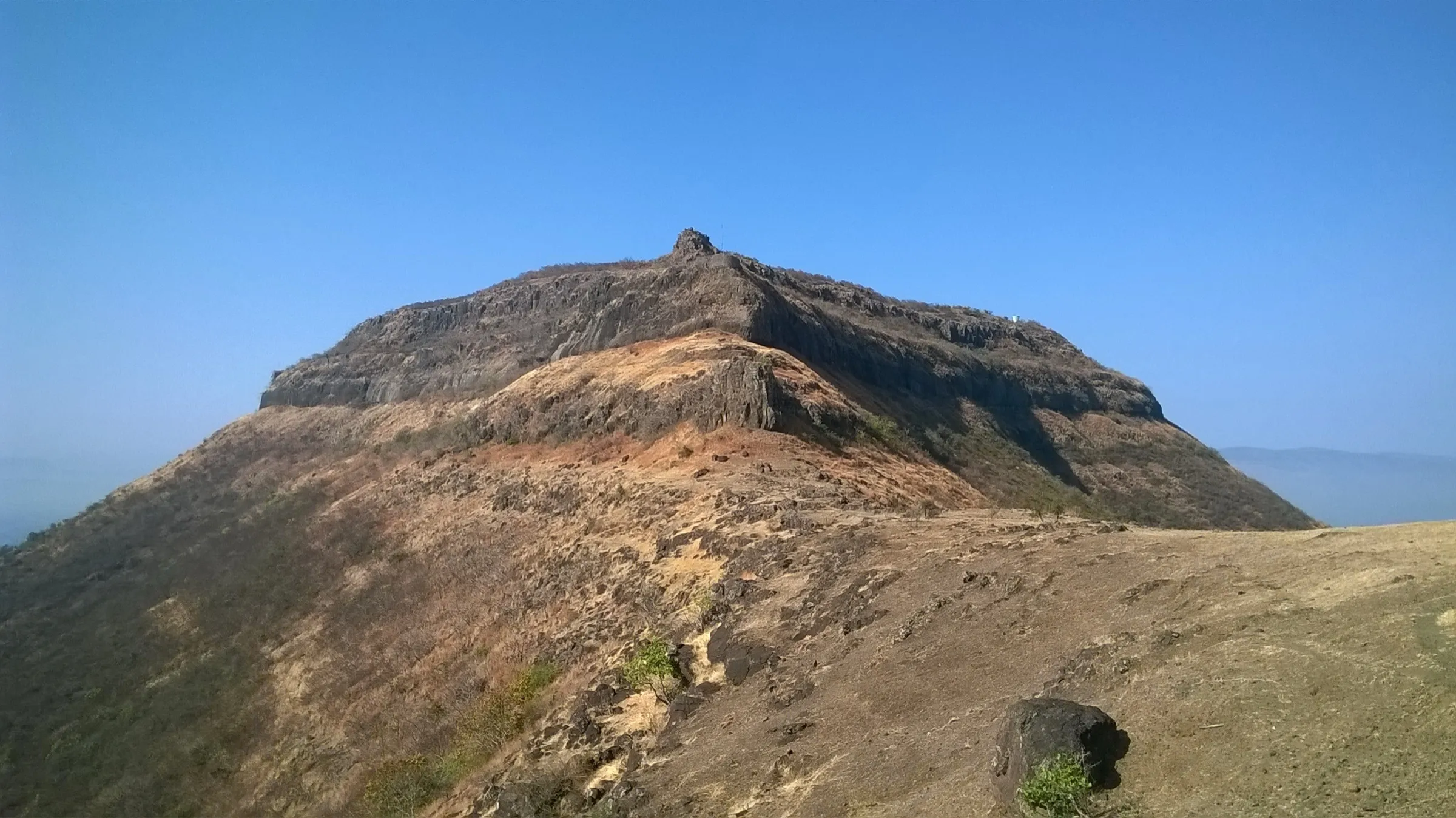
- A four-acre laterite tableland with views towards Gunvantgad and the Koyna valley around Patan
- Easily combined with Gunvantgad, Vasantgad and Machhindragad in one day by private vehicle
Risks
- The rock-cut well and several cisterns have unfenced vertical edges; keep children close and stay back from the rim, especially when the grass is wet.
- The steps at the gate and the rock-cut path are slippery in the monsoon.
- Satara district administration closed all tourist destinations 'until further orders' during red and orange rain alerts in July 2026; check for a current district order before a monsoon visit.
- Little shade on the open plateau and no food or drinking water on the fort; carry water, sun protection and snacks.
- No ST bus serves the base road, so plan a private vehicle for the return.
Know before you go
Questions
How long does the Dategad climb take?
It is short. Wikipedia and Treks and Trails India say about 45 minutes from Tolewadi to the gate; Durgbharari and a Tripoto trip report say about 15-20 minutes from the road-end. Exploring the top takes about an hour.
What is the base village and how do I reach it?
Tolewadi, about 7 km from Patan, is the usual base. A second route starts from Kawadewadi (about 15 km from Patan via Chapholi), where Team Dategad has made a small roadside parking and cleared the old main path to the east gate. Patan is on the Karad-Chiplun road; there is no ST bus to the base, so use a private vehicle.
What is there to see on Dategad?
The big sword-shaped rock-cut stepped well with a Shivling and Nandi in a cave at its foot, the rock-carved murtis of Bhagwan Hanuman and Shri Ganesh at the gate, guard chambers, cisterns and remains of building platforms.
Is there drinking water on the fort?
No. Durgbharari says the well water is not potable and most tanks are dry except in the rains, and Treks and Trails India asks trekkers to carry enough water and a packed lunch.
Can I visit other forts on the same day?
Yes. Durgbharari says that with a private vehicle and good time management you can see Machhindragad, Gunvantgad, Dategad and Vasantgad in a single day.
In an emergency
Save these numbers before you lose signal. Tap to call.
- 112All emergenciesIndia’s single emergency number — works in every state
- 108Ambulance
- 1077District disaster control room
You are in
District: SataraMaharashtra
- Nearest hospital
- Rural Hospital, Patan for first care; Karad (about 37 km) for serious cases
- Last ATM
- Patan town, about 7 km from Tolewadi
- Phone network
- Not confirmed by our sources; expect coverage in Patan town and check locally for the fort top.
Before you set off
- Tell someone your route and when you will be back.
- Carry a charged phone and a power bank.
- Download an offline map of the route.
- Turn back if the weather turns bad — the mountain will wait.
Questions about Dategad
No questions yet. Ask something and trekkers who have done it can answer.
Share your trek photo with #TreksAndTrails
I trekked this
Did Dategad look different from this page? Tell us what changed and we will check it.
Where this comes from
Sources
Last reviewed:
- Dategad Trek from Pune — Treks and Trails India
- Dategad / Sundargad — Durgbharari
- Dategad — Wikipedia
- Karad Patan Range - Dategad, Gunwantgad, Vasantgad, Macchindragad, Sadashivgad — Tripoto (trip report by Anurag Chivilkar)
- All tourist attractions in Satara closed until further notice (7 July 2026) — My Pune Pulse
- Tolewadi - Patan, Satara — VillageInfo.in
Photos: MountTrek Adventures, CC BY-SA 4.0; Vinayaraj, CC BY-SA 4.0