Tungareshwar Trek
Palghar (Vasai taluka), Tungareshwar Wildlife Sanctuary, Maharashtra
Opens without signal on this phone, with the map file and checklist. Saved for offline →
- Max altitude
- 664 m
- Days
- 1 day
- Distance
- 20 km
- Difficulty
- Moderate
A long day of about 20 km out and back with roughly 600 m of climbing on a wide forest track; rocky in places, little shade above the temple, and no water or shops on the upper half.
Photos
On the trail
The route
Day by day
Day 1 · highest point
Tungareshwar Phata (sanctuary gate) → Tungareshwar Phata (via Tungareshwar Mahadev temple and the plateau top)
34 m → 664 m → 34 m
Ups and downs
Altitude profile
Where it is
Map
Trailhead and high point only — not a recorded track. Use it with a proper map.
Weather
Next 5 days on the trail
Live forecast for the trailhead and the high point. Mountain weather changes fast — check again on the morning you start.
Trailhead · Tungareshwar Sanctuary Main Gate (Tungareshwar Phata, NH48)
at 34 mLoading forecast…
High point · Tungareshwar plateau top
at 664 mLoading forecast…
Each day: high / low °C · rain mm and chance · snow cm · wind km/h
Weather data: Open-Meteo.comModel forecast, not an official warning. For alerts follow IMD and the local administration.
Plan the trip
How to reach
- Trailhead
- Tungareshwar Sanctuary Main Gate (Tungareshwar Phata, NH48) (nearest town: Vasai)
- Nearest railway
- Vasai Road (Western line)
- Nearest airport
- Chhatrapati Shivaji Maharaj International Airport, Mumbai
- By road
- Vasai Road station (east) by shared or private auto-rickshaw to the Tungareshwar fork / sanctuary gate on NH48 (about 7 km); Mumbai by road along NH48 (Mumbai–Ahmedabad highway) towards Vasai, turning off at Tungareshwar Phata
- Drive
- About 2 h from Mumbai
Plan the trip
Permits and fees
We could not confirm the current permit rules and fees from an official source. Check with the local forest department or tourism office before you go.
Plan the trip
Cost
Self-guided
₹150–500
With an operator
₹700–1,500
Per person, ex-Vasai Road. No operator currently publishes a priced Tungareshwar summit trek. Treks and Trails India's guided Tungareshwar bird walk was Rs 700 (transport from Vasai, sanctuary entry, tea and snacks, naturalist), with no departures listed now; the upper end of the guided range is our estimate. Self-guided covers a local train to Vasai Road, auto-rickshaws to the gate and back, and food and water.
Gear
Top picks for this trek
The gear that matters most on this route, chosen from its altitude, season and risks.
 Ad · affiliate link
 Ad · affiliate link
 Ad · affiliate link
 Ad · affiliate link
 Ad · affiliate link
- Ad · affiliate link
 Ad · affiliate link
 Ad · affiliate link
Store buttons open a search on that store, not a product we picked. As an Amazon Associate we earn from qualifying purchases. Photos show the kind of item, not a specific product. Affiliate disclosure
Packing checklist
Matched to this trek: altitude, season, days and the risks on the route.
Packed 0 of 22
Monsoon months (Jun–Sep): pack everything in plastic or a dry bag and wear shoes with good grip.
Tick each item as it goes in the bag.
Know before you go
Good to know
- Mobile network
- Patchy in the forest until you reach the top of the plateau (Nature inFocus).
- Last ATM
- Vasai, which has ATMs, pharmacies and shops (Nature inFocus).
- Nearest hospital
- Vasai for first care and hospital treatment (not confirmed by our sources).
- Water
- Snack stalls and small eateries near the temple; nothing confirmed above it. Carry at least 2–3 litres per person for the climb to the top.
Highlights
- Darshan at the ancient Tungareshwar Mahadev temple, about 2–3 km in from the gate; the local katha tells that Bhagwan Shankar stayed here at the penance of Vimalasur and a Shivling was installed
- A walk through Tungareshwar Wildlife Sanctuary, an 85 sq km forest corridor between Sanjay Gandhi National Park and Tansa, home to leopard, barking deer, langur and about 150 bird species
- The quieter upper trail above the temple (about 7–8 km to the top), with dense tree cover and the best chance of birds and wildlife
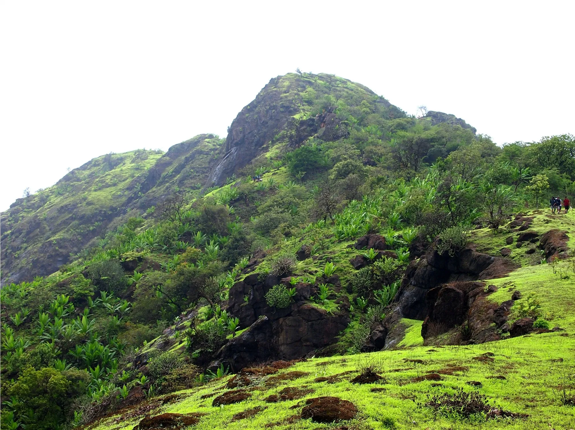
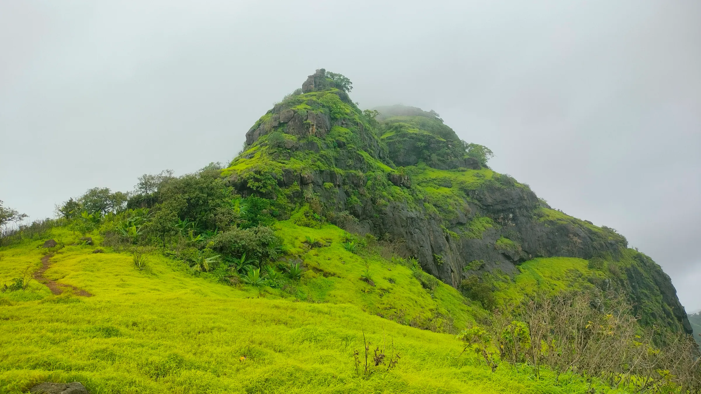
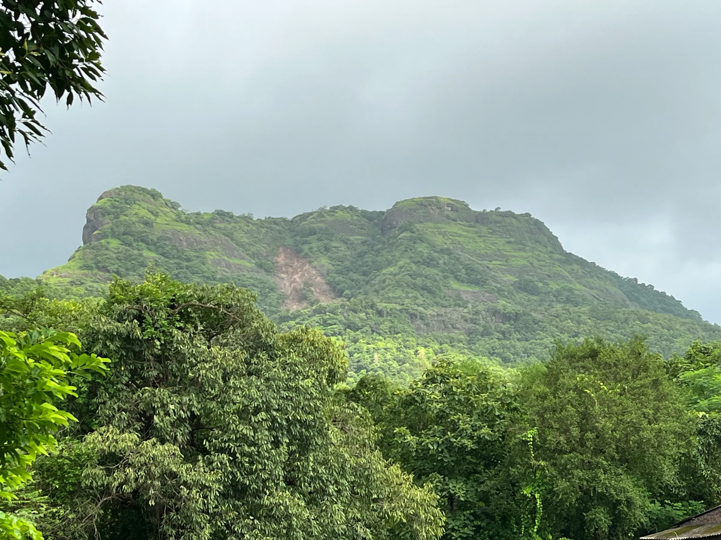
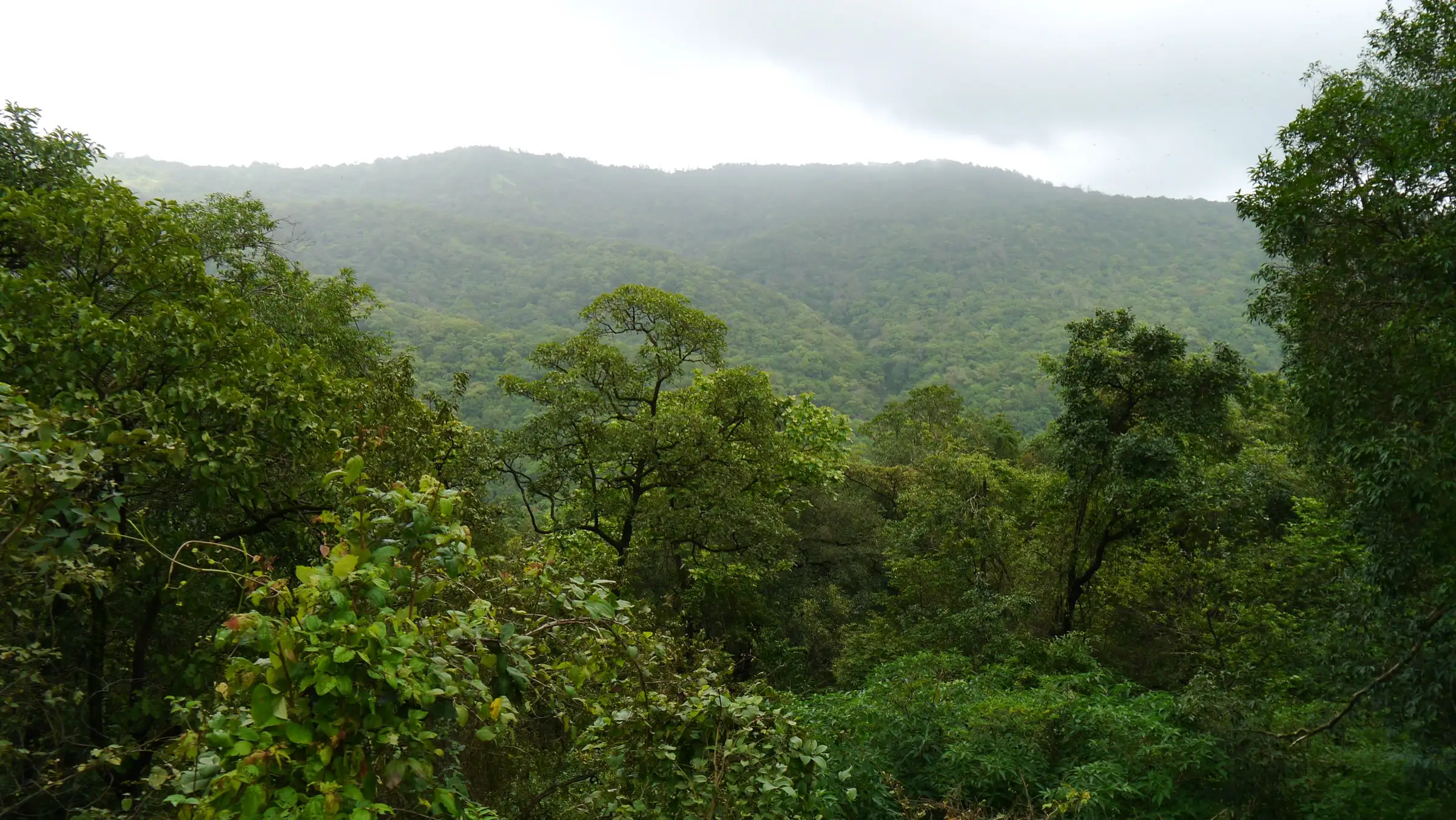
- Views from the plateau top (about 664 m) over Vasai, Virar and the plains; in the monsoon, many small waterfalls on the hillsides
- Easy to reach from Mumbai by local train to Vasai Road
Risks
- The lower part is not wild: the first 2–3 km to the temple is a road used by auto-rickshaws and private vehicles, and it is busy with pilgrims on Mondays, in Shravan and on Mahashivratri. Walk early or on weekdays.
- The trail above the temple sees few people and has no signs showing the distance to the top (Wikipedia). Start early, tell someone your plan, and turn back by early afternoon; night treks and camping are not allowed.
- Monsoon (June–September): streams on the approach can rise fast and rock is slippery. Palghar police have issued short monsoon prohibitory orders on waterfalls and water bodies in Vasai in past years, and a travel guide notes the forest department occasionally restricts entry in the monsoon. Check before you go.
- Leopards live in the sanctuary in small numbers; an encounter at dawn or dusk cannot be ruled out. Stay in a group and on the main trail.
- Summer (April–May) is hot, above 35 °C, and the upper route has little shade.
Know before you go
Questions
How far is the Tungareshwar temple from the gate, and how far is the top?
The temple is about 2–3 km from the sanctuary gate on NH48. From the temple it is another 6–8 km to the top of the plateau, so the full walk is roughly 10 km each way. Nature inFocus gives about 3 km to the temple and about 7 km more to the top; Wikipedia gives about 11 km from the base to the top.
Can you drive to Tungareshwar temple?
Yes. Private auto-rickshaws and vehicles go up to the temple, and many devotees ride up while others walk. Visitors report a vehicle toll on this road. The trek proper is the forest track that continues above the temple to the plateau top.
How do I reach Tungareshwar from Mumbai?
Take a Western line local to Vasai Road, exit on the east side and take a shared or private auto-rickshaw to the Tungareshwar fork on the Mumbai–Ahmedabad highway (NH48), about 7 km. By road it is roughly 1.5–2 hours from Mumbai depending on traffic.
Is there an entry fee for Tungareshwar Wildlife Sanctuary?
We could not find a current official fee schedule. A 2025 travel guide says entry is free but subject to forest department rules, while a guided bird-walk operator included 'sanctuary entry fees' in its price. Ask at the gate.
When is the best time to trek Tungareshwar?
The monsoon (June–September) is when the forest is greenest and the waterfalls run, though trails are slippery; October to February is cooler and good for birding. Avoid April and May, which are hot. The sanctuary can be visited all year.
In an emergency
Save these numbers before you lose signal. Tap to call.
- 112All emergenciesIndia’s single emergency number — works in every state
- 108Ambulance
- 1077District disaster control room
You are in
District: Palghar (Vasai taluka), Tungareshwar Wildlife SanctuaryMaharashtra
- Nearest hospital
- Vasai for first care and hospital treatment (not confirmed by our sources).
- Last ATM
- Vasai, which has ATMs, pharmacies and shops (Nature inFocus).
- Phone network
- Patchy in the forest until you reach the top of the plateau (Nature inFocus).
Before you set off
- Tell someone your route and when you will be back.
- Carry a charged phone and a power bank.
- Download an offline map of the route.
- Turn back if the weather turns bad — the mountain will wait.
Questions about Tungareshwar
No questions yet. Ask something and trekkers who have done it can answer.
Share your trek photo with #TreksAndTrails
I trekked this
Did Tungareshwar look different from this page? Tell us what changed and we will check it.
Where this comes from
Sources
Last reviewed:
- Tungareshwar Wildlife Sanctuary — Wikipedia
- Tungareshwar Wildlife Sanctuary (guide) — Nature inFocus
- Tungareshwar Wildlife Sanctuary: A Hidden Natural Retreat Near Mumbai — The Land of Wanderlust (TLOW)
- Top Five Treks near Mumbai — Treks and Trails India (treksandtrails.org)
- Vasai treks — Treks and Trails India (treksandtrails.org)
- Bird watching at Tungareshwar national park — Treks and Trails India (treksandtrails.org)
- Tungareshwar — Durg Bharari
- Route: The Roundtrip across Tungareshwar — Fastest Known Time
- Buffer zones to remain open for tourists during monsoon — The Hitavada
Photos: Dinesh Valke from Thane, India, CC BY-SA 2.0; Dinesh Valke from Thane, India, CC BY-SA 2.0; Mumbaipsytrance, CC BY-SA 4.0; Dinesh Valke from Thane, India, CC BY-SA 2.0