Takmak Fort Trek
Palghar, Maharashtra
Opens without signal on this phone, with the map file and checklist. Saved for offline →
- Max altitude
- 610 m
- Days
- 1 day
- Distance
- 10 km
- Difficulty
- Moderate
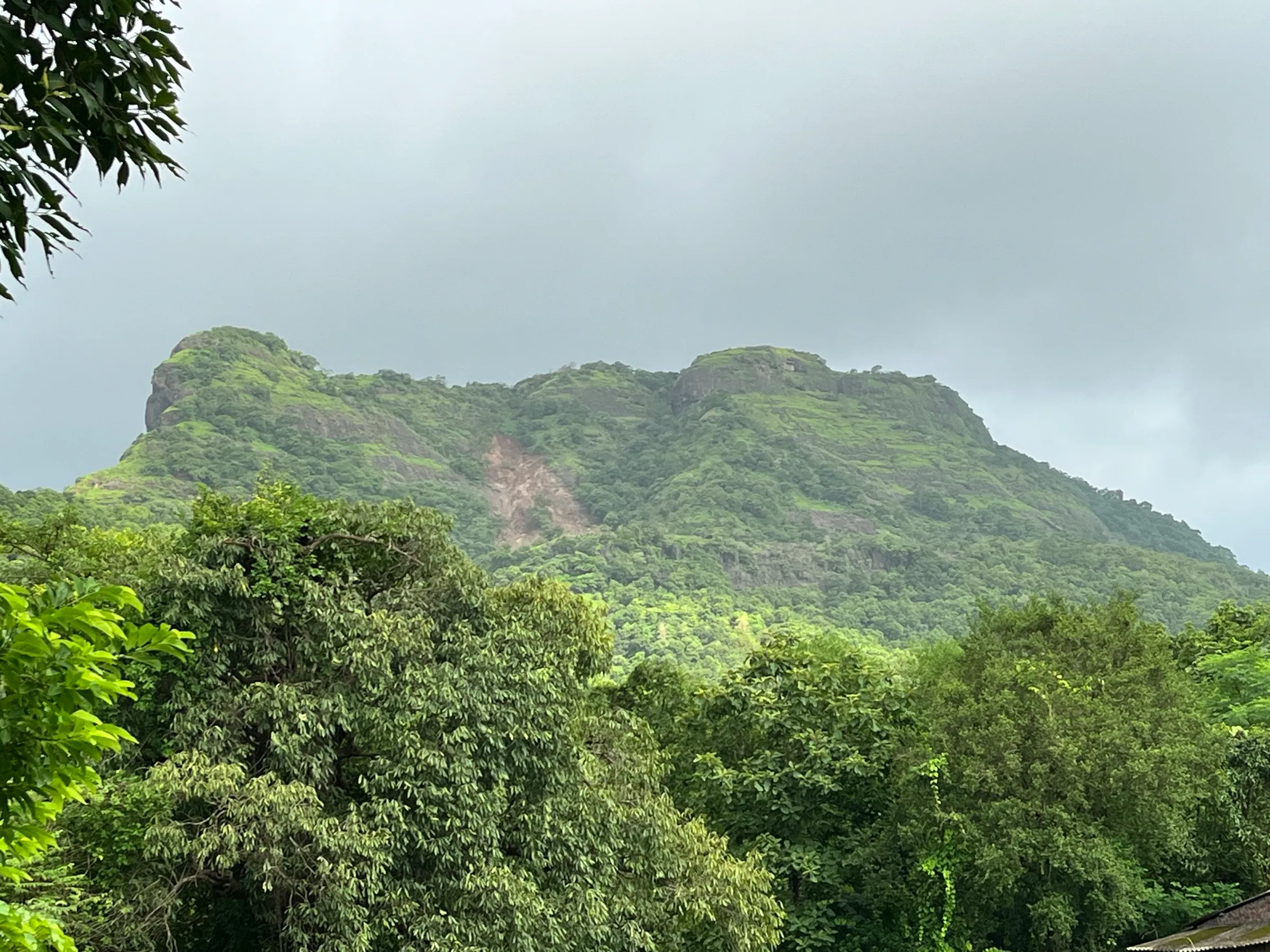
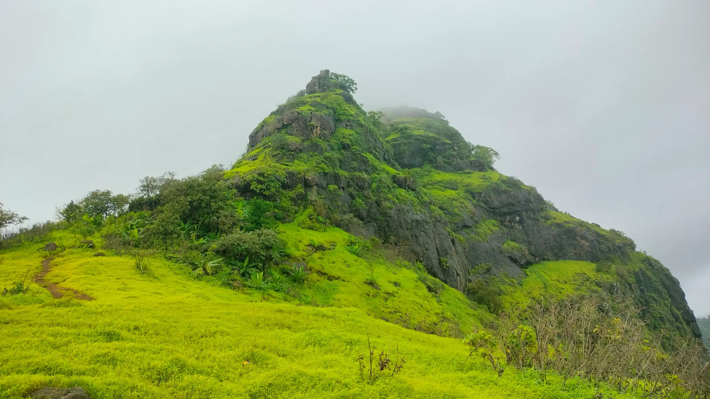
A climb of roughly 550 m from Sakawar village near sea level, through paddy fields, a dense forest where the trail is easy to lose, a narrow ridge and a final rocky climb of loose boulders; operators grade it easy-moderate to moderate.
Photos
On the trail
The route
Day by day
Day 1 · highest point
Sakawar (Sakwar) → Sakawar (via Takmak Fort top)
25 m → 610 m → 25 m
Ups and downs
Altitude profile
Where it is
Map
Trailhead and high point only — not a recorded track. Use it with a proper map.
Weather
Next 5 days on the trail
Live forecast for the trailhead and the high point. Mountain weather changes fast — check again on the morning you start.
Trailhead · Sakawar (Sakwar)
at 25 mLoading forecast…
High point · Takmak Fort top
at 610 mLoading forecast…
Each day: high / low °C · rain mm and chance · snow cm · wind km/h
Weather data: Open-Meteo.comModel forecast, not an official warning. For alerts follow IMD and the local administration.
Plan the trip
How to reach
- Trailhead
- Sakawar (Sakwar) (nearest town: Virar)
- Nearest railway
- Virar (about 20 km)
- Nearest airport
- Chhatrapati Shivaji Maharaj International Airport, Mumbai (about 58 km)
- By road
- Mumbai (about 80 km from Churchgate): Mumbai-Ahmedabad highway (NH48) past Shirsad to Sakawar, then about 750 m into the village to the trail junction; Virar station: bus towards Shirsad (buses about every 15 minutes), then a shared auto to Sakawar
- Drive
- About 2.5 h from Mumbai
Plan the trip
Permits and fees
We could not confirm the current permit rules and fees from an official source. Check with the local forest department or tourism office before you go.
Plan the trip
Cost
Self-guided
₹200–800
With an operator
₹799–1,299
Per person, ex-Mumbai (Dadar). Guided prices from one operator only: Treks and Trails India lists ₹799 if you reach the base yourself and ₹1,299 with a non-AC bus from Dadar, breakfast and lunch included. Self-guided is an estimate: local train to Virar, bus to Shirsad (about ₹30), shared auto to Sakawar, packed food, and a tip if you hire a village guide for the forest section.
Gear
Top picks for this trek
The gear that matters most on this route, chosen from its altitude, season and risks.
 Ad · affiliate link
 Ad · affiliate link
 Ad · affiliate link
 Ad · affiliate link
- Ad · affiliate link
 Ad · affiliate link
 Ad · affiliate link
 Ad · affiliate link
Store buttons open a search on that store, not a product we picked. As an Amazon Associate we earn from qualifying purchases. Photos show the kind of item, not a specific product. Affiliate disclosure
Packing checklist
Matched to this trek: altitude, season, days and the risks on the route.
Packed 0 of 21
Monsoon months (Jun–Sep): pack everything in plastic or a dry bag and wear shoes with good grip.
Tick each item as it goes in the bag.
Know before you go
Good to know
- Mobile network
- Not confirmed by our sources; expect weak signal in the dense forest section.
- Last ATM
- Virar (reliable); a few ATMs at Shirsad
- Nearest hospital
- Ramakrishna Mission health centre on the highway at Sakawar for first care; Virar and Vasai for hospital care (not confirmed by our sources)
- Water
- Hand pump and well in Sakawar village. Rock-cut tanks on the fort hold water only until about February and operators say it is not potable; carry at least 2-3 litres.
Highlights
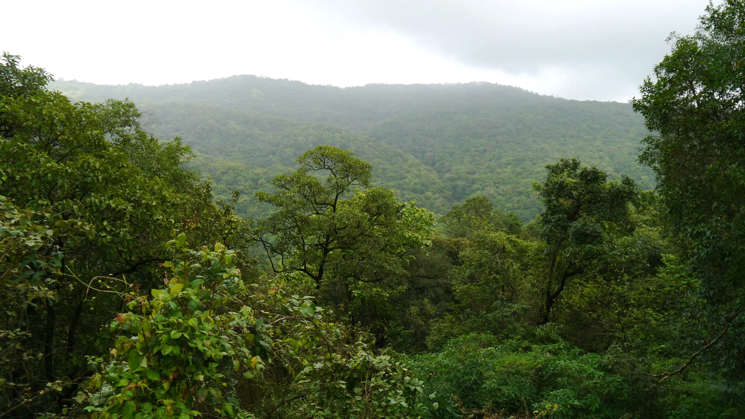
- Walk through the paddy fields and streams of Sakawar village, then into a dense, silent forest with freshwater crabs on the trail
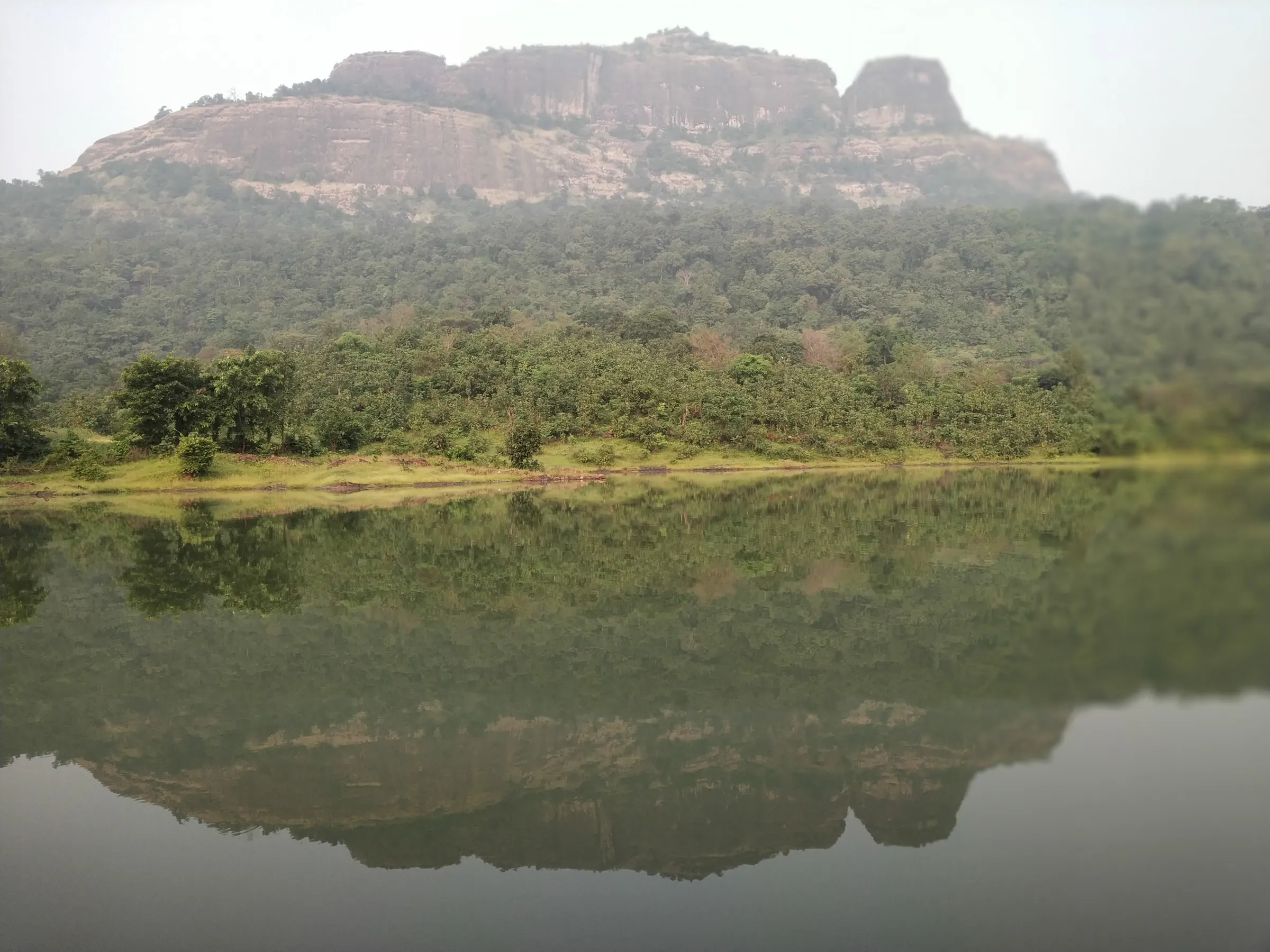
- A ridge walk with the first view of Takmak and the Navra-Navri twin pinnacles behind it
- Rock-cut water tanks, broken cannons, ruined walls and plinths on a fort top of about seven acres
- Views of the Tansa-Vaitarna river confluence, the Vaitarna creek, Vandri lake and on clear days the Arabian Sea
- History: held by the Portuguese, taken by the Marathas in the Vasai campaign (1737-39) and later used by the British as a prison
Risks
- Easy to get lost: the forest section has many village paths and markers can be hidden in peak monsoon. Carry a GPX track or hire a guide from Sakawar.
- The final climb is about 60 degrees over boulders and loose rock, with some rock-cut steps; it is slippery in the monsoon, and the descent by the same route is steep.
- The ridge below the fort is narrow; keep away from edges in mist or wind.
- Summer (March-May) is hot and humid in the coastal lowlands; Indiahikes does not recommend it. Start early and carry plenty of water.
- Palghar district authorities sometimes issue monsoon prohibitory orders for water bodies and advisories for forts after landslides; we found no order for Takmak, but check locally before a monsoon visit.
- No food, shelter or drinkable water on the fort.
Know before you go
Questions
How high is Takmak Fort?
Most trekking sources (Indiahikes, Treks and Trails India, Thrillophilia, trip reports) say about 2,000 ft (about 610 m). Durgbharari gives 1,895 ft and the Wikipedia infobox 1,899 ft (about 578 m); satellite elevation data puts the top at about 550-570 m. The climb starts near sea level at Sakawar.
How long is the Takmak Fort trek?
Indiahikes gives a total of about 10 km there and back. Treks and Trails India allows about 3 hours from the base to the fort and about the same for the descent; Durgbharari says about 1.5 hours from Sakwar to the pinnacle below the fort, plus about an hour to walk around the top.
Do I need a guide for Takmak Fort?
It is strongly advised unless you carry a GPX track. Both Indiahikes and Treks and Trails India warn that trekkers often get lost in the dense forest because of many small village paths; villagers in Sakawar can guide you to the trail.
Do I need a permit to trek or camp on Takmak?
Indiahikes says no forest department permission is needed and that camping is allowed on the fort and in clearings after the forest. Carry at least 4 litres of water if you camp; we found no official source, so check locally.
How do I reach Takmak Fort from Mumbai by public transport?
Take a local train to Virar, a bus towards Shirsad (about ₹30, every 15 minutes), then a shared auto to Sakawar village. Sakawar is about 20 km from Virar and about 80 km from Churchgate.
In an emergency
Save these numbers before you lose signal. Tap to call.
- 112All emergenciesIndia’s single emergency number — works in every state
- 108Ambulance
- 1077District disaster control room
You are in
District: PalgharMaharashtra
- Nearest hospital
- Ramakrishna Mission health centre on the highway at Sakawar for first care; Virar and Vasai for hospital care (not confirmed by our sources)
- Last ATM
- Virar (reliable); a few ATMs at Shirsad
- Phone network
- Not confirmed by our sources; expect weak signal in the dense forest section.
Before you set off
- Tell someone your route and when you will be back.
- Carry a charged phone and a power bank.
- Download an offline map of the route.
- Turn back if the weather turns bad — the mountain will wait.
Questions about Takmak Fort
No questions yet. Ask something and trekkers who have done it can answer.
Share your trek photo with #TreksAndTrails
I trekked this
Did Takmak Fort look different from this page? Tell us what changed and we will check it.
Where this comes from
Sources
Last reviewed:
- Takmak Fort Trek | Indiahikes — Indiahikes
- Takmak Fort Trek | Misty Valleys Trek near Virar — Treks and Trails India
- Takmakgad | Durgbharari — Durgbharari (Suresh Nimbalkar)
- Takmak fort — Wikipedia
- Trek to Takmak Fort - a story of the boy and his dog — bijoor.me (trip report)
- Trek To Takmak Fort | Thrillophilia — Thrillophilia
Photos: Pradeep717, CC BY-SA 4.0; Pradeep717, CC BY-SA 4.0; Pradeep717, CC BY-SA 4.0