Tandulwadi Fort Trek
Palghar, Maharashtra
Opens without signal on this phone, with the map file and checklist. Saved for offline →
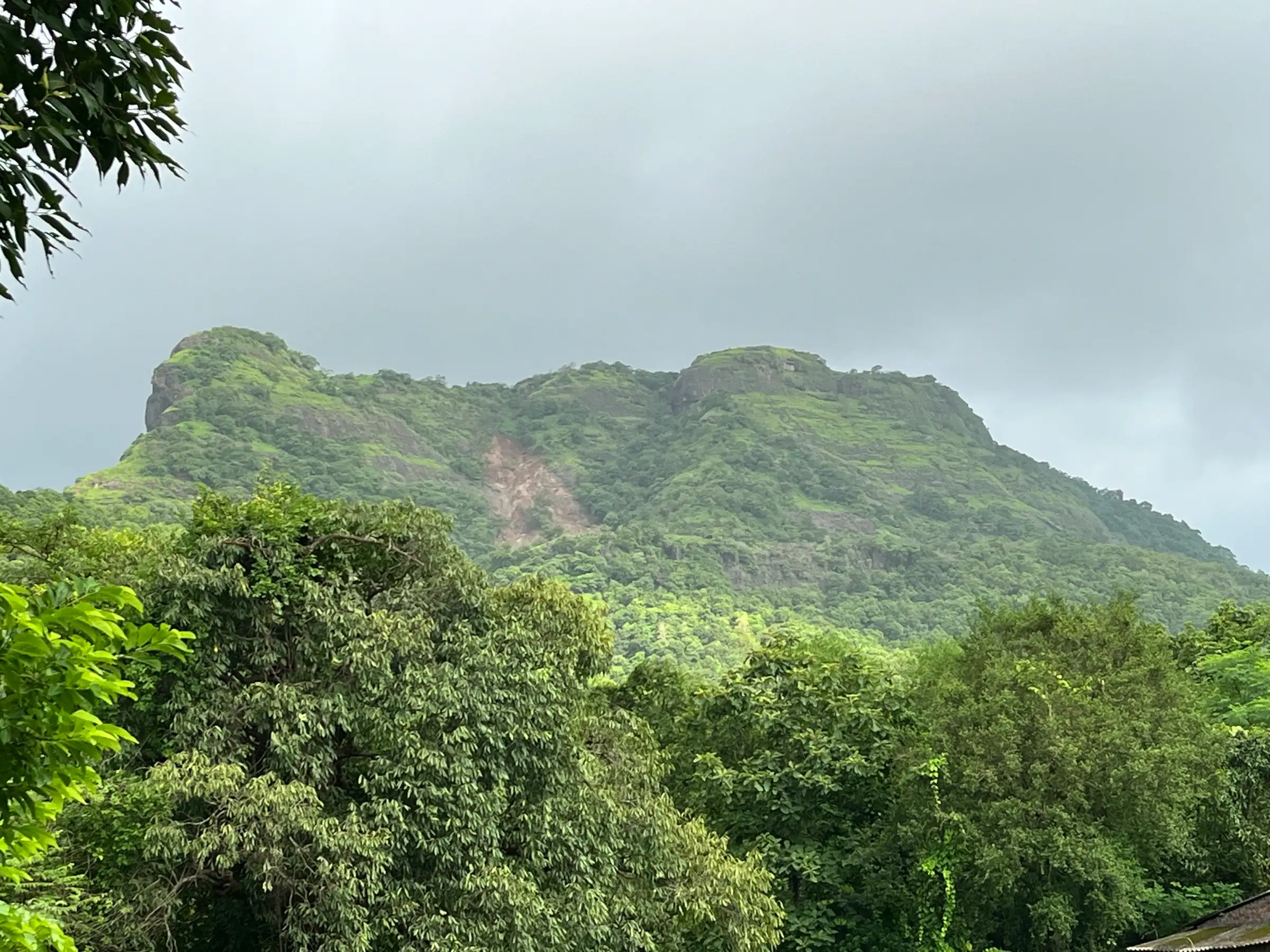
- Max altitude
- 579 m
- Satellite terrain suggests about 440 m
- Days
- 1 day
- Distance
- 7 km
- Difficulty
- Moderate
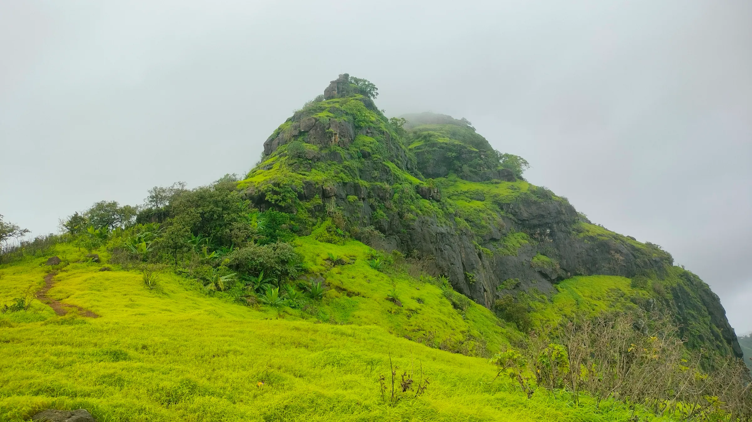
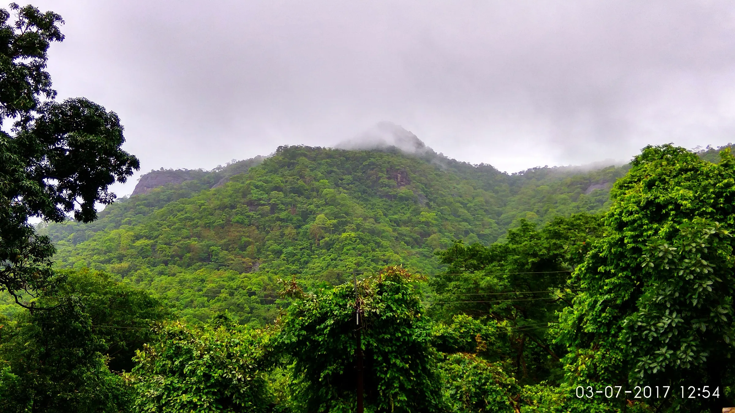
A one-day climb of roughly 500 m from a village near sea level on a rocky, unshaded trail. Indiahikes and Durg Bharari grade it moderate or medium (Mischief Treks says easy-moderate); one stretch crosses a boulder-filled seasonal stream bed where the path is hard to follow, and the shorter route has a 10-foot rock patch that needs easy scrambling.
Photos
On the trail
The route
Day by day
Day 1 · highest point
Tandulwadi village → Tandulwadi village (via Tandulwadi Fort top)
20 m → 579 m → 20 m
Ups and downs
Altitude profile
Where it is
Map
Trailhead and high point only — not a recorded track. Use it with a proper map.
Weather
Next 5 days on the trail
Live forecast for the trailhead and the high point. Mountain weather changes fast — check again on the morning you start.
Trailhead · Tandulwadi village
at 20 mLoading forecast…
High point · Tandulwadi Fort top (balekilla)
at 579 mLoading forecast…
Each day: high / low °C · rain mm and chance · snow cm · wind km/h
Weather data: Open-Meteo.comModel forecast, not an official warning. For alerts follow IMD and the local administration.
Plan the trip
How to reach
- Trailhead
- Tandulwadi village (nearest town: Saphale)
- Nearest railway
- Saphale (Western Railway; Dahanu locals and MEMU trains from Dadar and Churchgate, the second station after Virar)
- Nearest airport
- Mumbai (Chhatrapati Shivaji Maharaj International Airport)
- By road
- Saphale station (about 7 km to Tandulwadi village; ST buses, or shared jeeps to Varai Phata and on to the village); Varai Phata on the Mumbai–Ahmedabad highway (about 14 km via Pargaon Phata and the bridge over the Vaitarna); Mumbai (about 104 km north via the Mumbai–Ahmedabad highway)
- Drive
- About 2.5 h from Mumbai
Plan the trip
Permits and fees
We could not confirm the current permit rules and fees from an official source. Check with the local forest department or tourism office before you go.
Plan the trip
Cost
Self-guided
₹200–600
With an operator
₹750–1,400
Per person, ex-Mumbai. Guided one-day prices published by operators (checked October 2026; neither page shows a current batch date): Mischief Treks ₹750 if you reach the base village yourself, ₹1,100 with a jeep from Saphale station, ₹1,400 with a non-AC bus from Mumbai; Treks and Trails India ₹799 without transport and ₹1,299 with transport, breakfast and lunch included. Self-guided is our estimate: a local train to Saphale, a shared jeep or ST bus to Tandulwadi, and a village meal. Mischief Treks lists 'Govt / Local Body Charges as applicable' in its inclusions; we found no official fee, so check locally.
Gear
Top picks for this trek
The gear that matters most on this route, chosen from its altitude, season and risks.
 Ad · affiliate link
 Ad · affiliate link
 Ad · affiliate link
 Ad · affiliate link
- Ad · affiliate link
 Ad · affiliate link
 Ad · affiliate link
 Ad · affiliate link
Store buttons open a search on that store, not a product we picked. As an Amazon Associate we earn from qualifying purchases. Photos show the kind of item, not a specific product. Affiliate disclosure
Packing checklist
Matched to this trek: altitude, season, days and the risks on the route.
Packed 0 of 21
Monsoon months (Jun–Sep): pack everything in plastic or a dry bag and wear shoes with good grip.
Tick each item as it goes in the bag.
Know before you go
Good to know
- Mobile network
- Not confirmed by our sources; expect patchy signal on the hill.
- Last ATM
- Saphale, near the station (not confirmed by our sources; carry cash for jeeps and meals)
- Nearest hospital
- Basic care in Saphale; Palghar or Virar for serious cases (not confirmed by our sources)
- Water
- No water on the trail, according to Indiahikes; carry at least 3 litres. There is a well in the village. The fort has old rock-cut cisterns and a pond, but trekkers report them dry outside the monsoon, so do not rely on them.
Highlights
- The view of the confluence of the Surya and Vaitarna rivers from the top, with the Vaitarna winding across the plain below
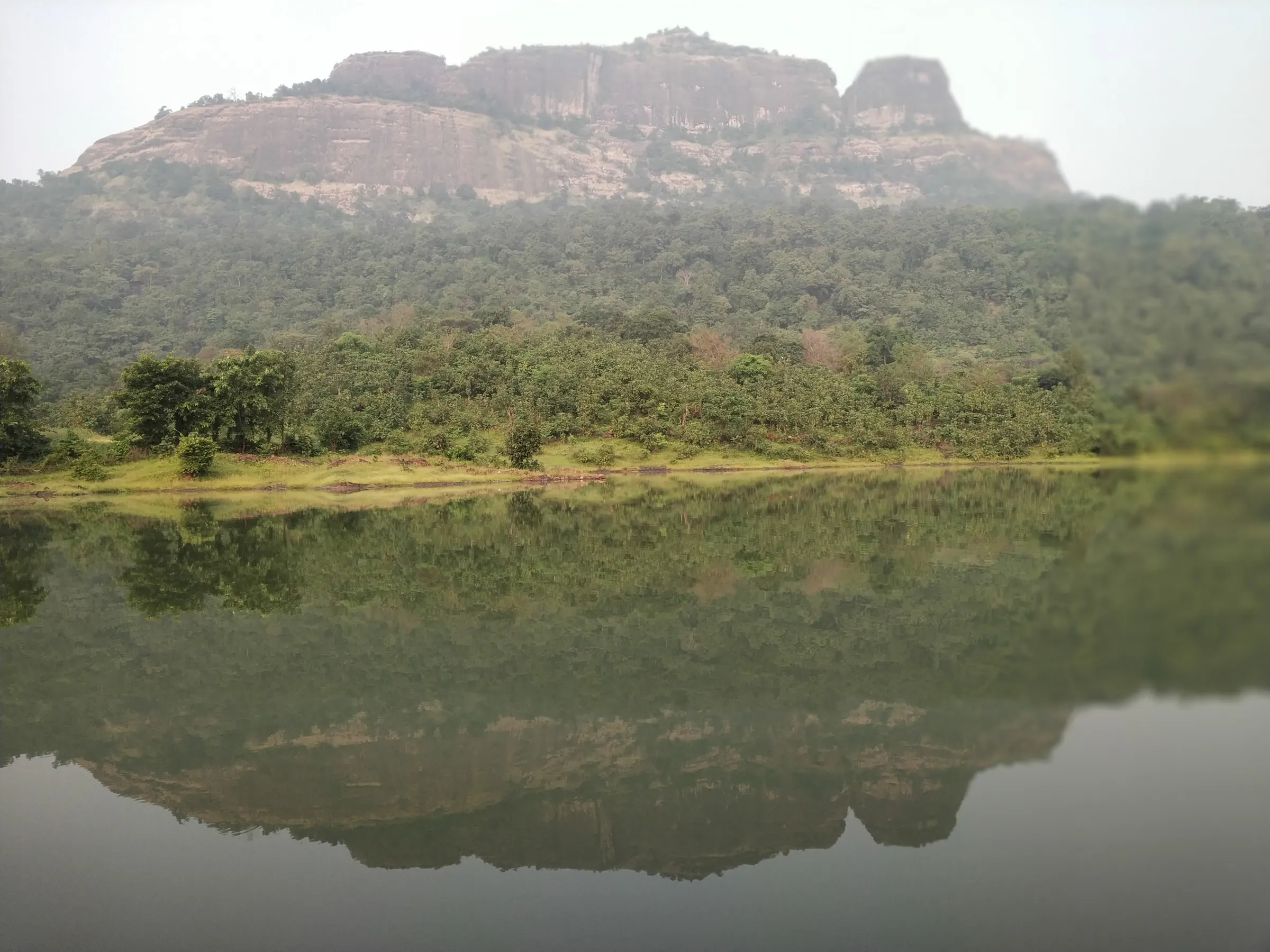
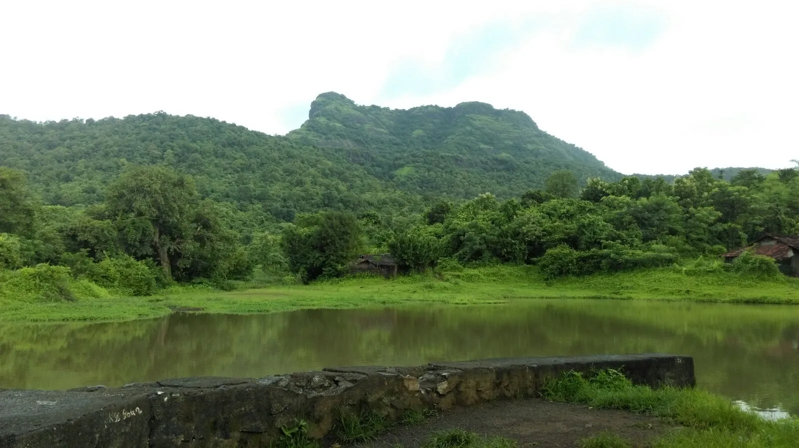
- Zanzorli lake, Saphale and, on a clear day, the Arabian Sea and the forts of Kohoj, Takmak and Asherigad
- Ruins of the Maha Darwaja, the balekilla's rough stone walls with four corner bastions, and about 14 rock-cut cisterns and a pond on the top
- A sindoor-smeared stone murti inside the balekilla, and points on the top labelled by the Marathi Yuvak Sangh
- A long fort history: the Gujarat Sultanate, the Portuguese, and the Marathas, who took it on 2 May 1737 during Chimaji Appa's Vasai campaign (Durg Bharari)
- One of the easiest Sahyadri fort treks to reach from Mumbai by local train
Risks
- The trail is rocky and almost entirely exposed to the sun, with no shade and no water; heat exhaustion is a real risk outside the monsoon. Start early and carry 3 litres or more.
- Above the first plateau the path splits and crosses the boulder bed of a seasonal waterfall where the trail disappears; trekkers have lost the way on the descent. Follow the stone steps and arrow marks, and go with someone who knows the route.
- The shorter direct route to the top has a 10-foot rock face that needs easy scrambling; it is slippery with moss in the monsoon and loose with gravel in summer. People afraid of heights should not descend this way (Durg Bharari).
- In the dry season fallen leaves cover the rocks on the descent, making them slippery and hiding loose stones (Indiahikes).
- Palghar authorities have issued monsoon prohibitory orders at water bodies and picnic spots in past years. We found no order closing Tandulwadi Fort; check the current district orders before a monsoon visit, and stay away from the Lalthane waterfall below the fort in heavy rain.
- There are no facilities on the fort. Carry your own food.
Know before you go
Questions
How long does the Tandulwadi Fort trek take?
Indiahikes gives about 2.5 hours to climb and 2 hours to come down; Treks and Trails India plans about 2 hours each way from the base village. Durg Bharari adds about an hour to explore the top. Plan 5–6 hours for the round trip of about 7 km (Mischief Treks).
How do I reach Tandulwadi Fort from Mumbai by train?
Take a Dahanu local or MEMU train from Churchgate or Dadar to Saphale, the second station after Virar. Exit on the east side and take an ST bus or a shared jeep to Varai Phata or straight to Tandulwadi village, about 7 km away; the trail starts beside the gram panchayat office.
What is the height of Tandulwadi Fort?
Figures vary. The Thane Gazetteer (quoted by Durg Bharari), Wikipedia's infobox and the operators Treks and Trails India and Mischief Treks give 579 m (about 1,900 ft). Indiahikes says 1,669 ft, and Durg Bharari's own heading says 1,470 ft. Satellite terrain data puts the top of the hill nearer 450 m, so treat 579 m as the published figure, not a surveyed one.
When is the best time to do the Tandulwadi Fort trek?
Operators run it mainly in the monsoon, June to September, when the hill is green. Indiahikes recommends the monsoon or winter because the trail has no shade, and Mischief Treks gives June to February. Avoid the hot months of March to May.
Is there anything left of the fort?
Not much. Indiahikes says the fort itself is gone, but you can still see the Maha Darwaja ruins, the walls of the balekilla, about 14 rock-cut cisterns, a small square well and a pond (Durg Bharari). The Marathi Yuvak Sangh has put up boards naming the main points.
In an emergency
Save these numbers before you lose signal. Tap to call.
- 112All emergenciesIndia’s single emergency number — works in every state
- 108Ambulance
- 1077District disaster control room
You are in
District: PalgharMaharashtra
- Nearest hospital
- Basic care in Saphale; Palghar or Virar for serious cases (not confirmed by our sources)
- Last ATM
- Saphale, near the station (not confirmed by our sources; carry cash for jeeps and meals)
- Phone network
- Not confirmed by our sources; expect patchy signal on the hill.
Before you set off
- Tell someone your route and when you will be back.
- Carry a charged phone and a power bank.
- Download an offline map of the route.
- Turn back if the weather turns bad — the mountain will wait.
Questions about Tandulwadi Fort
No questions yet. Ask something and trekkers who have done it can answer.
Share your trek photo with #TreksAndTrails
I trekked this
Did Tandulwadi Fort look different from this page? Tell us what changed and we will check it.
Where this comes from
Sources
Last reviewed:
- Tandulwadi Fort Trek | One Day Trek Mumbai — Treks and Trails India
- Tandulwadi Fort - One Day Trek From Mumbai — Mischief Treks
- Tandulwadi Fort — Wikipedia
- Tandulwadi Trek — Indiahikes
- TANDULWADI | Durgbharari — Durg Bharari
- Trek to Tandulwadi Fort — Ashutosh Bijoor (trip report)
Photos: Pradeep717, CC BY-SA 4.0; Pradeep717, CC BY-SA 4.0; Pradeep717, CC BY-SA 4.0; KartikMistry, CC BY-SA 4.0