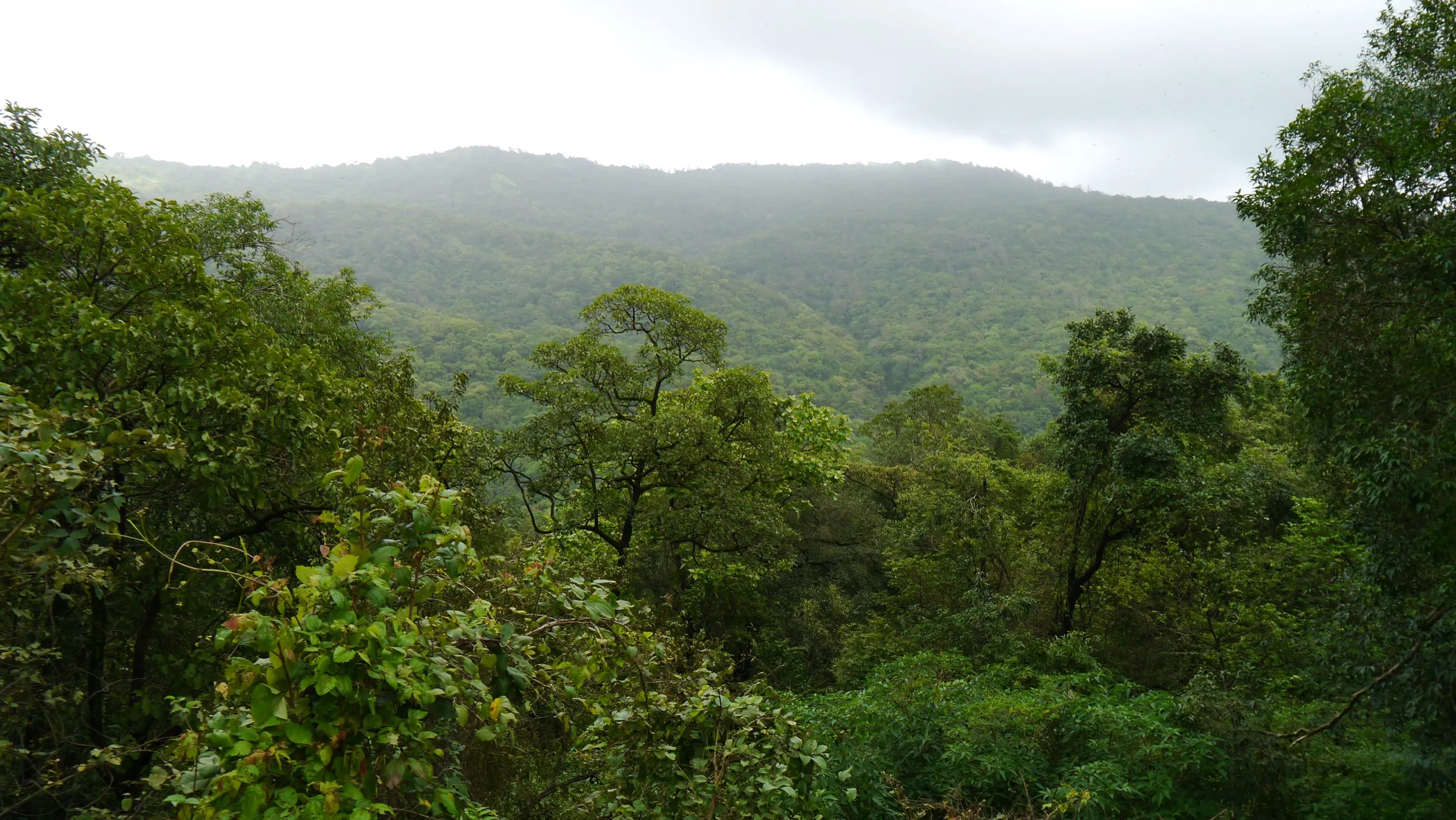
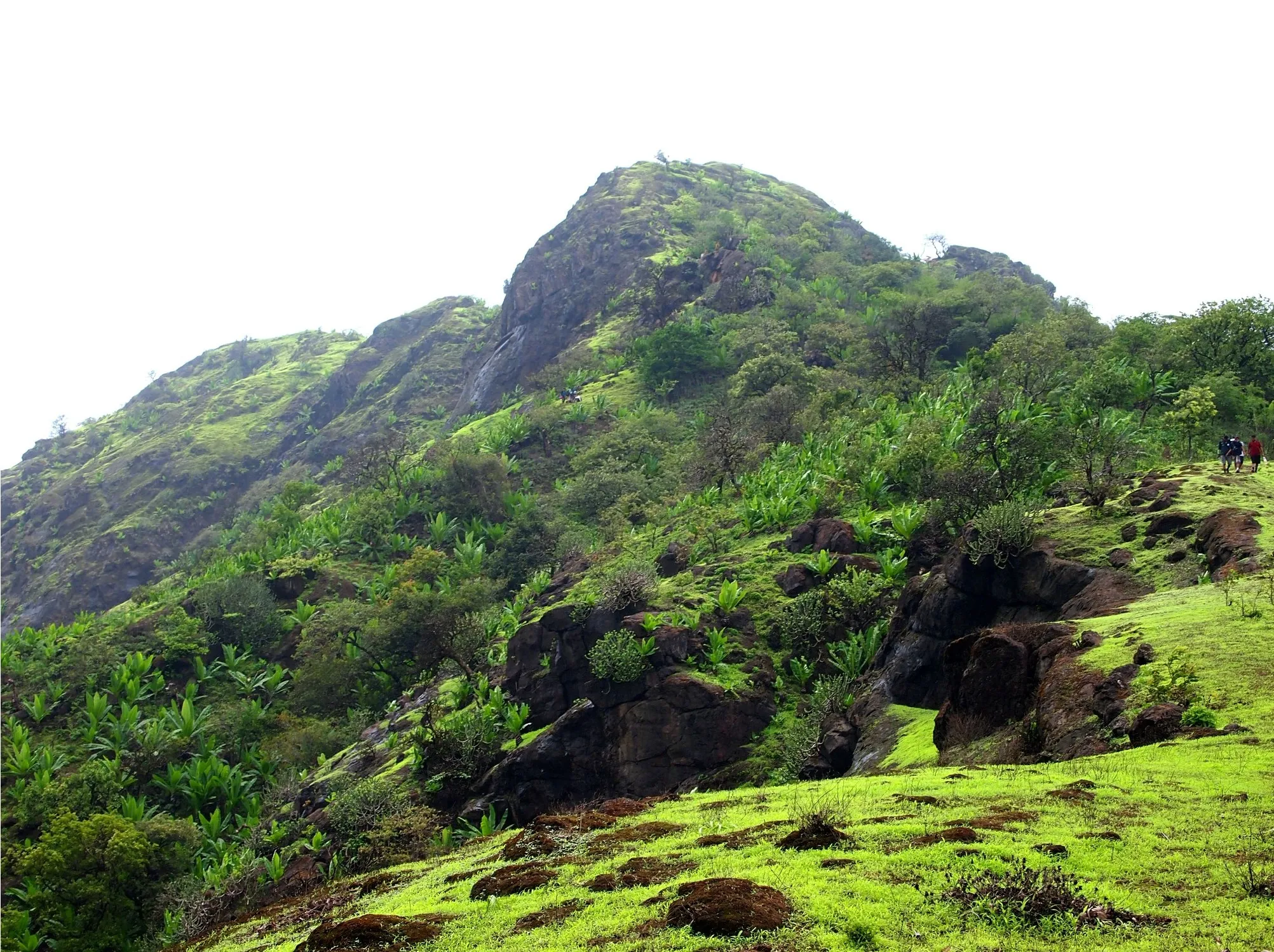
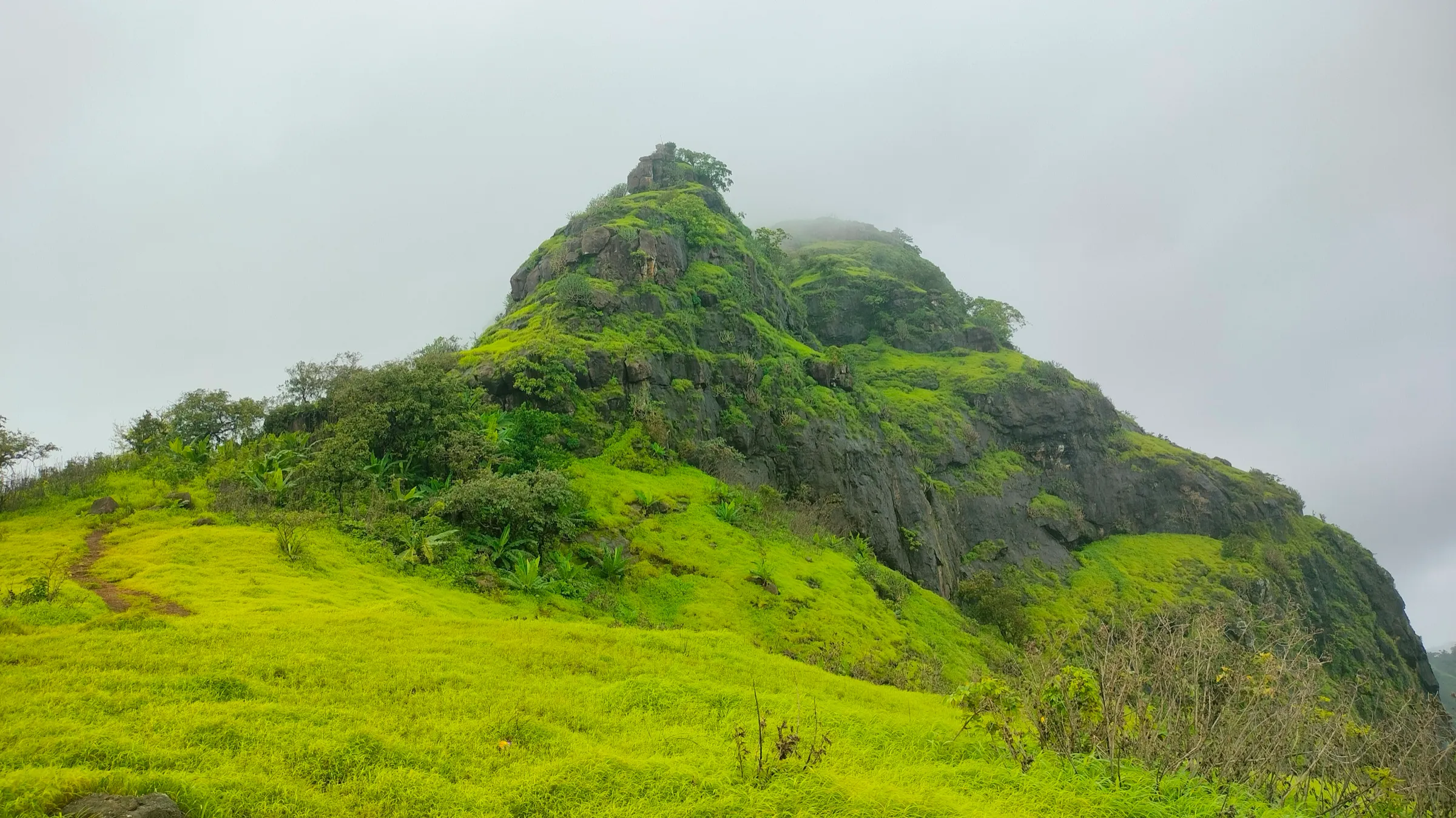
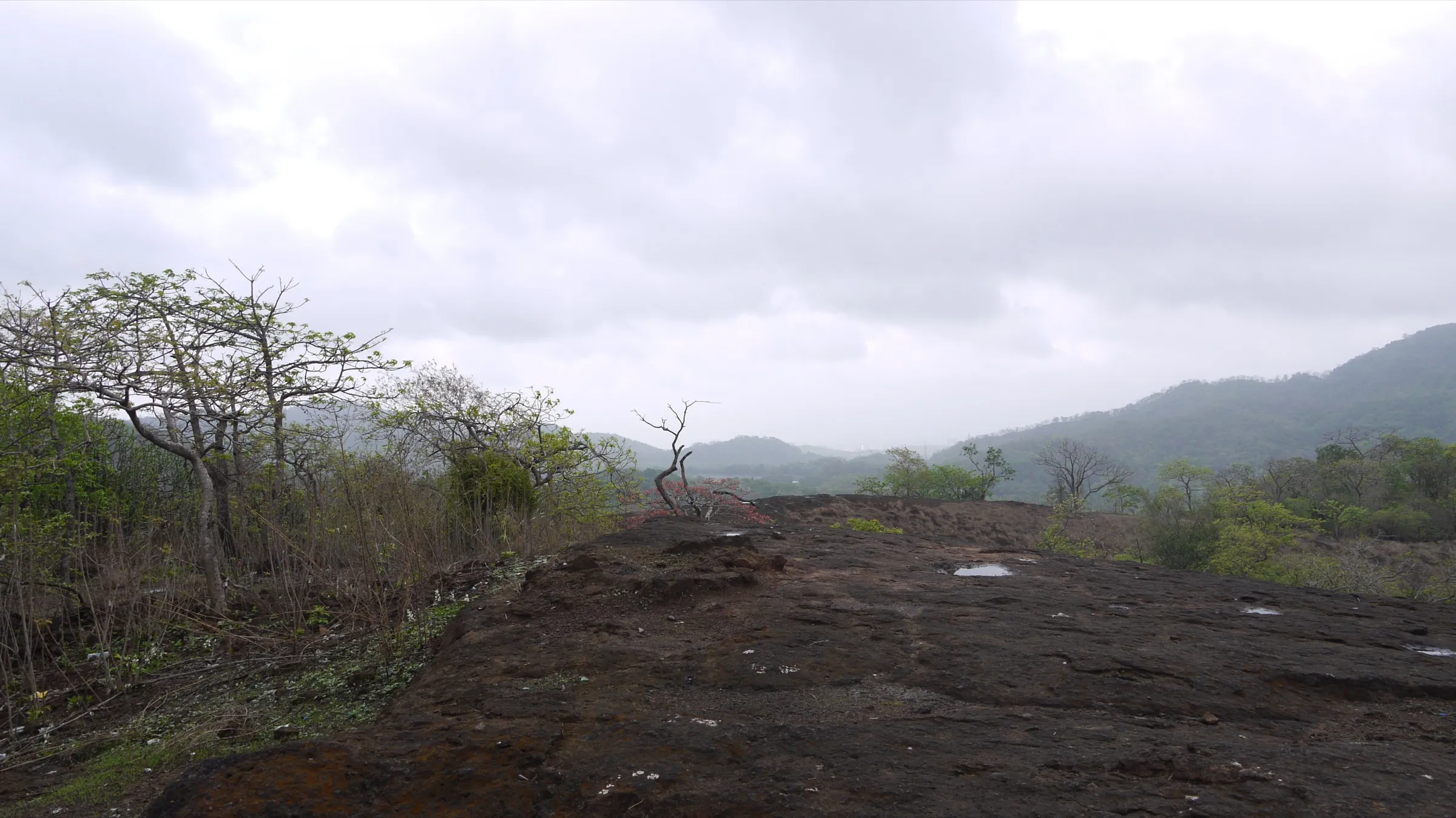
Chinchoti Waterfall Trek
Palghar (Vasai taluka), in the Tungareshwar hills, Maharashtra
Opens without signal on this phone, with the map file and checklist. Saved for offline →
- Max altitude
- 350 m
- Days
- 1 day
- Distance
- 7 km
- Difficulty
- Moderate
A short day hike (about 1-1.5 hours each way) on a narrow, unsigned jungle path with several stream crossings, mud and rock; easy to get lost, and slippery and flood-prone in the monsoon.
Photos
On the trail
The route
Day by day
Day 1 · highest point
Chinchoti (Kaman area) → Chinchoti (Kaman area) (via Chinchoti Waterfall)
60 m → 350 m → 60 m
Ups and downs
Altitude profile
Where it is
Map
Trailhead and high point only — not a recorded track. Use it with a proper map.
Weather
Next 5 days on the trail
Live forecast for the trailhead and the high point. Mountain weather changes fast — check again on the morning you start.
Trailhead · Chinchoti, Kaman area (off NH48)
at 60 mLoading forecast…
High point · Chinchoti Waterfall
at 350 mLoading forecast…
Each day: high / low °C · rain mm and chance · snow cm · wind km/h
Weather data: Open-Meteo.comModel forecast, not an official warning. For alerts follow IMD and the local administration.
Plan the trip
How to reach
- Trailhead
- Chinchoti, Kaman area (off NH48) (nearest town: Vasai)
- Nearest railway
- Naigaon or Vasai Road (Western line); Kaman Road (Vasai Road-Diva line)
- Nearest airport
- Chhatrapati Shivaji Maharaj International Airport, Mumbai
- By road
- Naigaon station (east) by shared auto to Chinchoti Naka on NH48, then a local auto towards the start of the trail; Vasai (about 15 km by road towards Kaman, then follow signs to Chinchoti); Mumbai (about 60 km via the Western Express Highway and NH48)
- Drive
- About 2 h from Mumbai
Plan the trip
Permits and fees
We could not confirm the current permit rules and fees from an official source. Check with the local forest department or tourism office before you go.
Plan the trip
Cost
Self-guided
₹150–500
With an operator
₹800–1,500
Per person, ex-Mumbai (Naigaon station). Treks and Trails India lists ₹800 for its guided day (shared auto Naigaon-base-Naigaon, breakfast and evening tea; carry your own lunch). We found only one operator publishing a price, so the upper end of the guided range is an estimate. Self-guided covers a local train to Naigaon or Vasai Road, shared autos to Chinchoti, and food and water.
Gear
Top picks for this trek
The gear that matters most on this route, chosen from its altitude, season and risks.
 Ad · affiliate link
 Ad · affiliate link
 Ad · affiliate link
 Ad · affiliate link
- Ad · affiliate link
 Ad · affiliate link
 Ad · affiliate link
 Ad · affiliate link
Store buttons open a search on that store, not a product we picked. As an Amazon Associate we earn from qualifying purchases. Photos show the kind of item, not a specific product. Affiliate disclosure
Packing checklist
Matched to this trek: altitude, season, days and the risks on the route.
Packed 0 of 20
Monsoon months (Jun–Sep): pack everything in plastic or a dry bag and wear shoes with good grip.
Tick each item as it goes in the bag.
Know before you go
Good to know
- Mobile network
- Not confirmed by our sources; expect patchy mobile signal in the forest.
- Last ATM
- Naigaon, Vasai or along NH48 (not confirmed by our sources)
- Nearest hospital
- Vasai for first care and hospital treatment (not confirmed by our sources)
- Water
- The trail crosses the stream several times, but our sources do not say it is safe to drink. Treks and Trails India asks for 3 litres of water per person.
Highlights
- A tall waterfall in the Tungareshwar hills, given as about 125 ft by Treks and Trails India and about 100 ft by easeindiatrip, at full flow in the monsoon
- Narrow jungle path through dense forest, with the sound of falling streams before the falls come into view
- Several stream crossings and clear rock pools; Google reviewers mention a lower pool and a second fall higher up
- Close to Mumbai: a one-day outing from Naigaon or Vasai Road on the Western line
Risks
- Flash floods: water levels can rise suddenly. The Tribune reports that in 2018 more than 120 trekkers were rescued by the Indian Air Force at Chinchoti after the water rose, and one person was swept away.
- Monsoon prohibitory orders: Palghar police have put Section 144 orders on water bodies and waterfalls in Vasai (for example 25 June-8 July 2024, banning entry to waterfalls and sitting in water flows), and in 2019 police turned visitors away at Chinchoti. These are one-off seasonal orders, not a standing closure; check with Vasai police before a monsoon visit.
- The path is narrow, unsigned and easy to lose: an operator says you can easily get lost without escorts, and Google reviewers report failing to find the falls. Go with someone who knows the route or a guide.
- Stream crossings, mud and wet rock are slippery in the monsoon (June-September); do not cross the stream in spate and do not stand under the fall in heavy rain.
- Summer (March-May) is hot and the waterfall dries up.
Know before you go
Questions
How long does the Chinchoti Waterfall trek take?
About 1 to 1.5 hours each way from the base, according to easeindiatrip. Treks and Trails India's itinerary starts walking at 09:30, reaches the falls at 11:00 and is back at the base by 17:00 after time at the falls.
How do I reach Chinchoti Waterfall from Mumbai?
Take a Western line local train to Naigaon or Vasai Road, then a shared auto towards Kaman and Chinchoti on the Mumbai-Ahmedabad highway (NH48). Treks and Trails India meets at Naigaon station east at 07:30 and goes to the base by shared auto. Chinchoti is about 60 km from Mumbai and 15 km from Vasai by road.
When is the best time to visit Chinchoti Waterfall?
The monsoon (June to September) is when the fall is in full flow, and just after the rains the stream still runs with fewer crowds. Summer is hot and the fall dries up. In heavy rain the stream can flood suddenly, and police sometimes close waterfalls in Vasai during the monsoon.
Is Chinchoti Waterfall open or banned?
We found no standing order that closes Chinchoti. Palghar police have issued short monsoon prohibitory orders on waterfalls in Vasai (for example 25 June-8 July 2024), and police turned visitors away at Chinchoti in 2019. Check locally before a monsoon visit.
Do I need a guide for Chinchoti Waterfall?
It is strongly advised. The jungle path is narrow and unsigned, there are two routes that meet near the falls, and visitors report getting lost. Ask locals for the way, or go with a group.
In an emergency
Save these numbers before you lose signal. Tap to call.
- 112All emergenciesIndia’s single emergency number — works in every state
- 108Ambulance
- 1077District disaster control room
You are in
District: Palghar (Vasai taluka), in the Tungareshwar hillsMaharashtra
- Nearest hospital
- Vasai for first care and hospital treatment (not confirmed by our sources)
- Last ATM
- Naigaon, Vasai or along NH48 (not confirmed by our sources)
- Phone network
- Not confirmed by our sources; expect patchy mobile signal in the forest.
Before you set off
- Tell someone your route and when you will be back.
- Carry a charged phone and a power bank.
- Download an offline map of the route.
- Turn back if the weather turns bad — the mountain will wait.
Questions about Chinchoti Waterfall
No questions yet. Ask something and trekkers who have done it can answer.
Share your trek photo with #TreksAndTrails
I trekked this
Did Chinchoti Waterfall look different from this page? Tell us what changed and we will check it.
Where this comes from
Sources
Last reviewed:
- Chinchoti Waterfalls Trek — Treks and Trails India (treksandtrails.org)
- Chinchoti Tour - Complete Guide to Attractions, Activities & Travel Tips — easeindiatrip.com
- Chinchoti trip planner (Google reviews of Chinchoti Waterfalls) — Wanderlog (visitor reviews)
- Waterfalls near Mumbai 'shut' to prevent drowning deaths — The Tribune
- Prohibitory orders at water bodies in Palghar during monsoon — Udayavani (PTI)
Photos: Dinesh Valke from Thane, India, CC BY-SA 2.0; Dinesh Valke from Thane, India, CC BY-SA 2.0