Kamandurg Trek
Thane (Bhiwandi taluka), on the Palghar (Vasai) border, Maharashtra
Opens without signal on this phone, with the map file and checklist. Saved for offline →
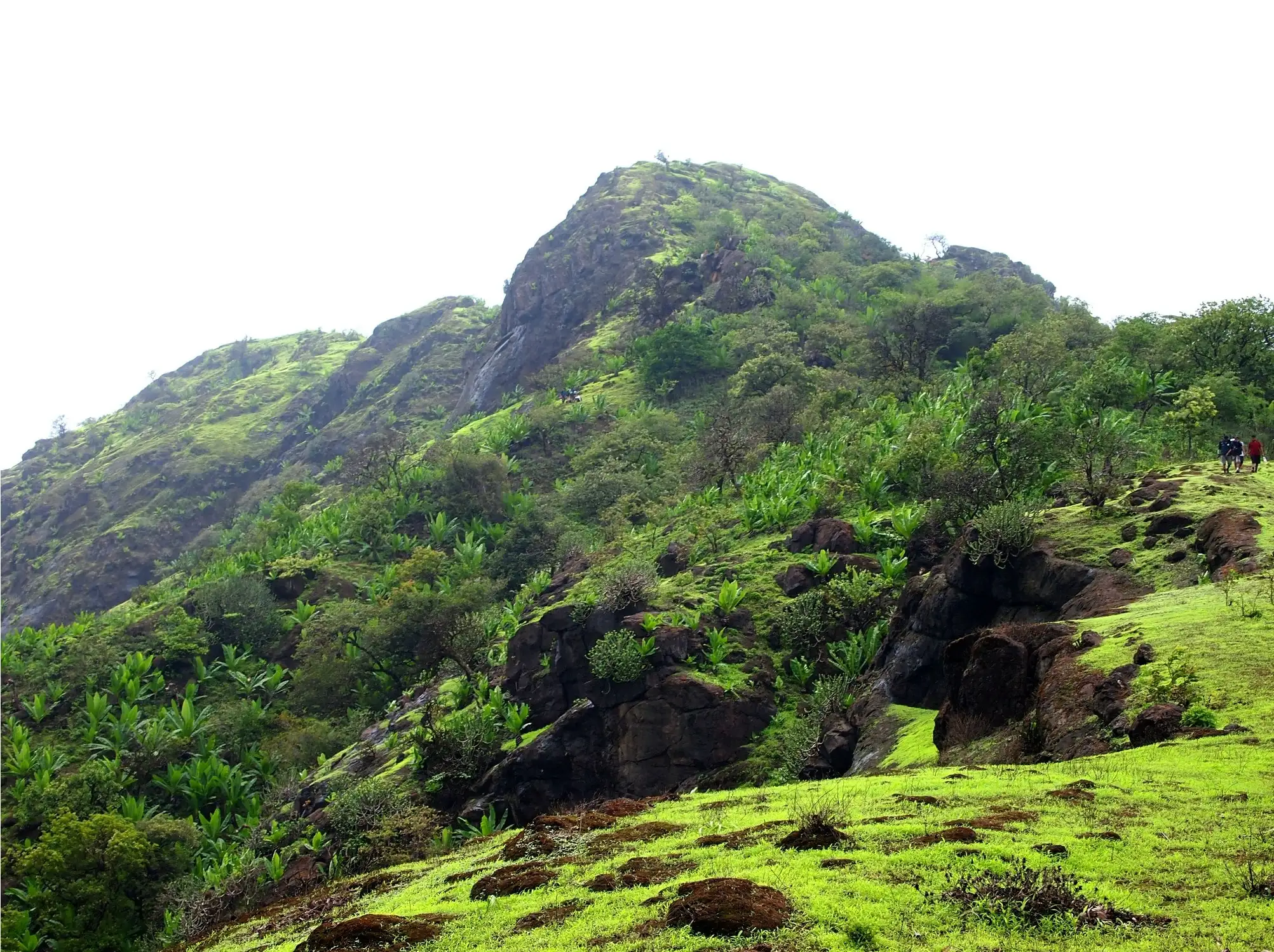 640 mhighest point
- Max altitude
- 640 m
- Days
- 1 day
- Distance
- 13.5 km
- Difficulty
- Moderate
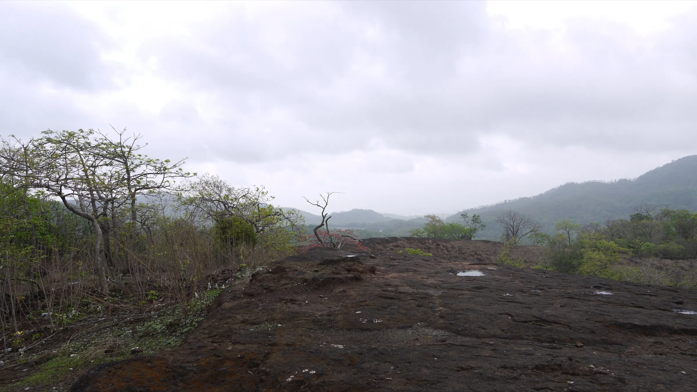
A long day hike of about 13-14 km and 5-6 hours: a gradual forest climb, then a steep final rock and scree section with rock-cut steps, cactus beside the path and a careful descent on loose scree.
The route
Day by day
Day 1 · highest point
Devkundi (Devkhuni) → Devkundi (Devkhuni) (via Kamandurg summit)
30 m → 640 m → 30 m
Ups and downs
Altitude profile
Where it is
Map
Trailhead and high point only — not a recorded track. Use it with a proper map.
Weather
Next 5 days on the trail
Live forecast for the trailhead and the high point. Mountain weather changes fast — check again on the morning you start.
Trailhead · Devkundi (Devkhuni), near Kaman
at 30 mLoading forecast…
High point · Kamandurg summit
at 640 mLoading forecast…
Each day: high / low °C · rain mm and chance · snow cm · wind km/h
Weather data: Open-Meteo.comModel forecast, not an official warning. For alerts follow IMD and the local administration.
Plan the trip
How to reach
- Trailhead
- Devkundi (Devkhuni), near Kaman (nearest town: Vasai)
- Nearest railway
- Kaman Road (Vasai Road-Diva line); Vasai Road on the Western line
- Nearest airport
- Chhatrapati Shivaji Maharaj International Airport, Mumbai
- By road
- Vasai (about 15 km via the Chinchoti-Anjur Phata road to Kaman, then a rough road to Devkundi); Mumbai (Andheri about 40 km via the Western Express Highway and NH48 to Chinchoti junction)
- Drive
- About 2 h from Mumbai
Plan the trip
Permits and fees
We could not confirm the current permit rules and fees from an official source. Check with the local forest department or tourism office before you go.
Plan the trip
Cost
Self-guided
₹200–800
With an operator
₹700–1,500
Per person, ex-Mumbai. We found no operator currently publishing a Kamandurg batch price, so both ranges are estimates: guided is based on typical Mumbai-region one-day fort treks (about ₹700-1,500); self-guided covers a local train to Vasai Road or Kaman Road, a shared auto to Kaman and Devkundi, food and water.
Gear
Top picks for this trek
The gear that matters most on this route, chosen from its altitude, season and risks.
 Ad · affiliate link
 Ad · affiliate link
 Ad · affiliate link
 Ad · affiliate link
- Ad · affiliate link
 Ad · affiliate link
 Ad · affiliate link
 Ad · affiliate link
Store buttons open a search on that store, not a product we picked. As an Amazon Associate we earn from qualifying purchases. Photos show the kind of item, not a specific product. Affiliate disclosure
Packing checklist
Matched to this trek: altitude, season, days and the risks on the route.
Packed 0 of 20
Monsoon months (Jul–Sep): pack everything in plastic or a dry bag and wear shoes with good grip.
Tick each item as it goes in the bag.
Know before you go
Good to know
- Mobile network
- Not confirmed by our sources; expect patchy mobile signal in the forest and on the ridge.
- Last ATM
- Vasai or Kaman (not confirmed by our sources)
- Nearest hospital
- Vasai for first care and hospital treatment (not confirmed by our sources)
- Water
- Indiahikes notes a hand pump near the start of the trail. Durgbharari counts eleven rock-cut cisterns on the fort but says none hold water, and the summit tank is dry in summer. Carry at least 2-3 litres.
Highlights
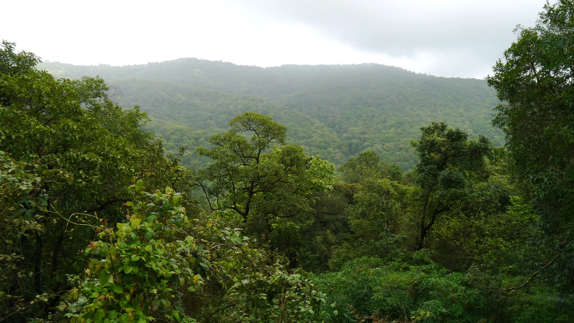
- Rarely visited dome-shaped fort hill near Tungareshwar, close to Mumbai yet reached through dense forest
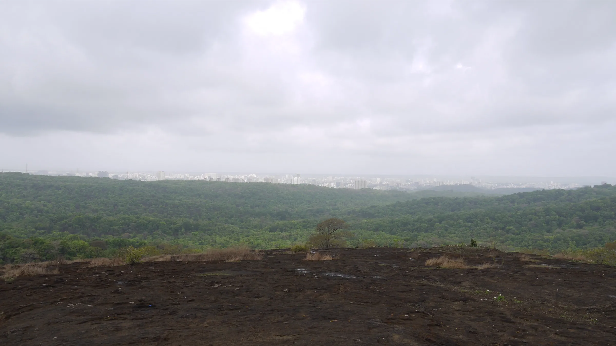
- Summit views over Vasai creek, the Ulhas river, mangrove islands and salt pans, with the Tungareshwar hills and Gumtara fort nearby
- Rock-cut steps, a ruined gateway, partly collapsed bastions and a cluster of rock-cut water cisterns, some dug by the Marathas in 1737-39
- Karvy and bamboo forest on a well-marked trail with white painted arrow stones
Risks
- The final 30-45 minutes is steep rock and scree with rock-cut steps; the descent on scree is slippery, especially when wet in the monsoon (June-September).
- Cactus grows close to the path near the summit; keep hands off the vegetation on the scramble.
- There is no reliable water on the fort: Durgbharari says none of its eleven cisterns hold water, and the summit tank is dry in summer.
- The approach follows a river that is dry in summer but becomes a gushing stream in the monsoon; do not cross it in spate.
- Palghar police have issued monsoon prohibitory orders for water bodies and waterfalls in past years (for example June-July 2024); we found no order naming Kamandurg, but check locally before a monsoon visit.
- The road from Kaman to Devkundi is rough and the village is hard to find; the trail is little used, so go with someone who knows it or carry an offline map.
Know before you go
Questions
How long does the Kamandurg trek take?
Indiahikes gives about 13-14 km and 5-6 hours for the round trip from Devkhuni (Devkundi): roughly 2.5-3 hours up and 1.5-2 hours down. Durgbharari says the climb takes about three to three and a half hours.
How high is Kamandurg?
Indiahikes gives about 2,100 ft (640 m) and Durgbharari's data table 2,110 ft; Durgbharari's text calls it the second-highest fort in Thane district after Mahuli, at about 2,200 ft.
Where does the Kamandurg trek start and how do I get there?
It starts at the small village of Devkundi (Devkhuni) near Kaman, on the Vasai-Bhiwandi road. Kaman Road station on the Vasai-Diva line is the nearest railway station; from Vasai it is about 15 km by road via Chinchoti and Kaman, and the last stretch to Devkundi is a rough road.
When is the best time to do Kamandurg?
Indiahikes calls the monsoon the best time, when the forest is green and the views over Vasai creek are at their best. Winter also works, but summer is hot and the fort has no water.
Is there water on Kamandurg fort?
Do not count on it. The fort has many rock-cut cisterns, but Durgbharari says none of them hold water, and Indiahikes says the summit tank is dry in summer. Carry all the water you need.
In an emergency
Save these numbers before you lose signal. Tap to call.
- 112All emergenciesIndia’s single emergency number — works in every state
- 108Ambulance
- 1077District disaster control room
You are in
District: Thane (Bhiwandi taluka), on the Palghar (Vasai) borderMaharashtra
- Nearest hospital
- Vasai for first care and hospital treatment (not confirmed by our sources)
- Last ATM
- Vasai or Kaman (not confirmed by our sources)
- Phone network
- Not confirmed by our sources; expect patchy mobile signal in the forest and on the ridge.
Before you set off
- Tell someone your route and when you will be back.
- Carry a charged phone and a power bank.
- Download an offline map of the route.
- Turn back if the weather turns bad — the mountain will wait.
Questions about Kamandurg
No questions yet. Ask something and trekkers who have done it can answer.
Share your trek photo with #TreksAndTrails
I trekked this
Did Kamandurg look different from this page? Tell us what changed and we will check it.
Where this comes from
Sources
Last reviewed:
- Kamandurg Trek — Indiahikes
- KAMANDURG | Durgbharari — Durgbharari (Suresh Nimbalkar)
- Kamandurg Fort — Wikipedia
- Kamandurg - an ancient fort near Vasai — bijoor.me (trip report)
Photos: Neha173, CC BY-SA 4.0