Kanheri Caves Trek
Mumbai Suburban, Maharashtra
Opens without signal on this phone, with the map file and checklist. Saved for offline →
- Max altitude
- 295 m
- Days
- 1 day
- Distance
- 4.5 km
- Difficulty
- Easy
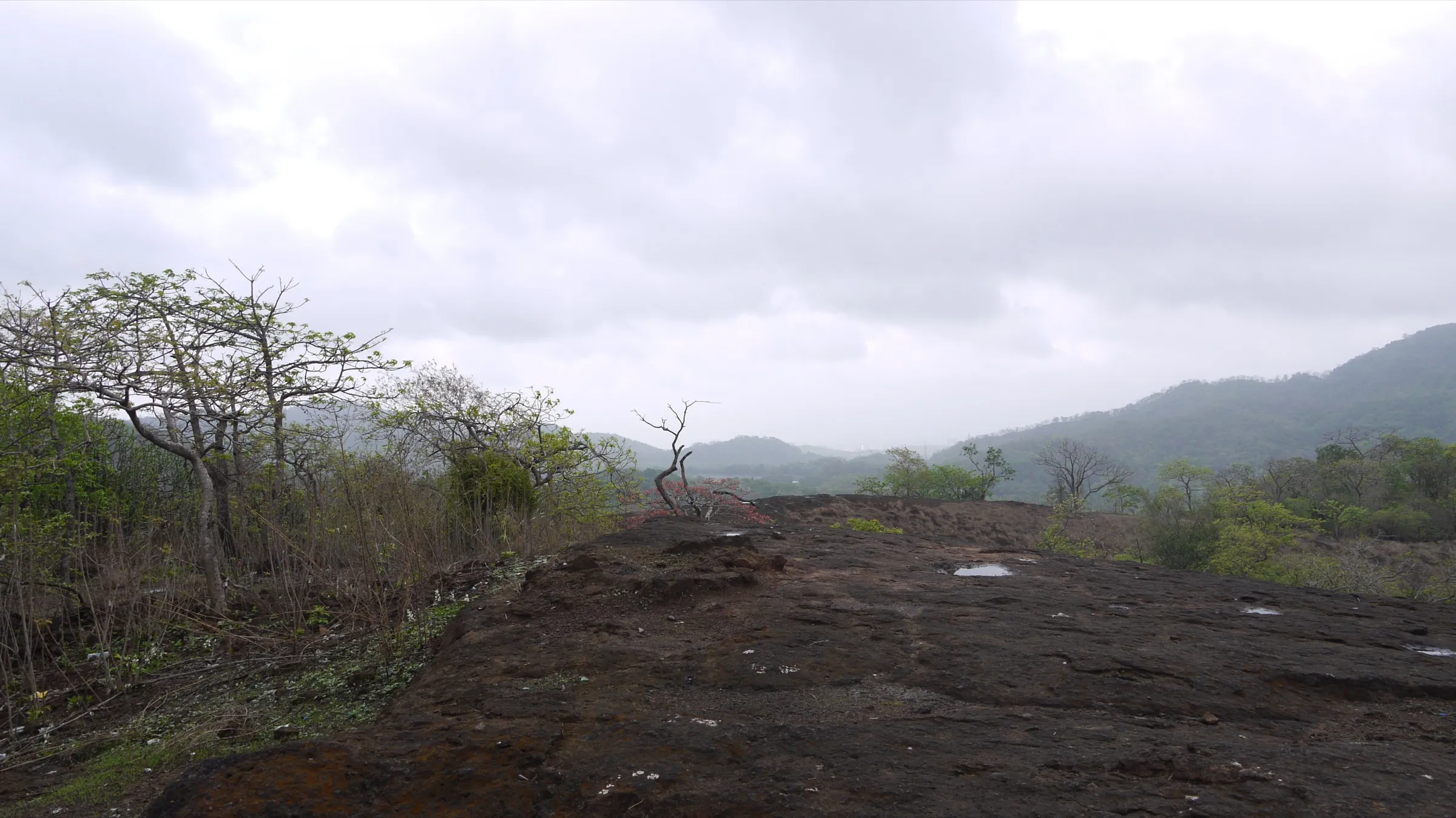
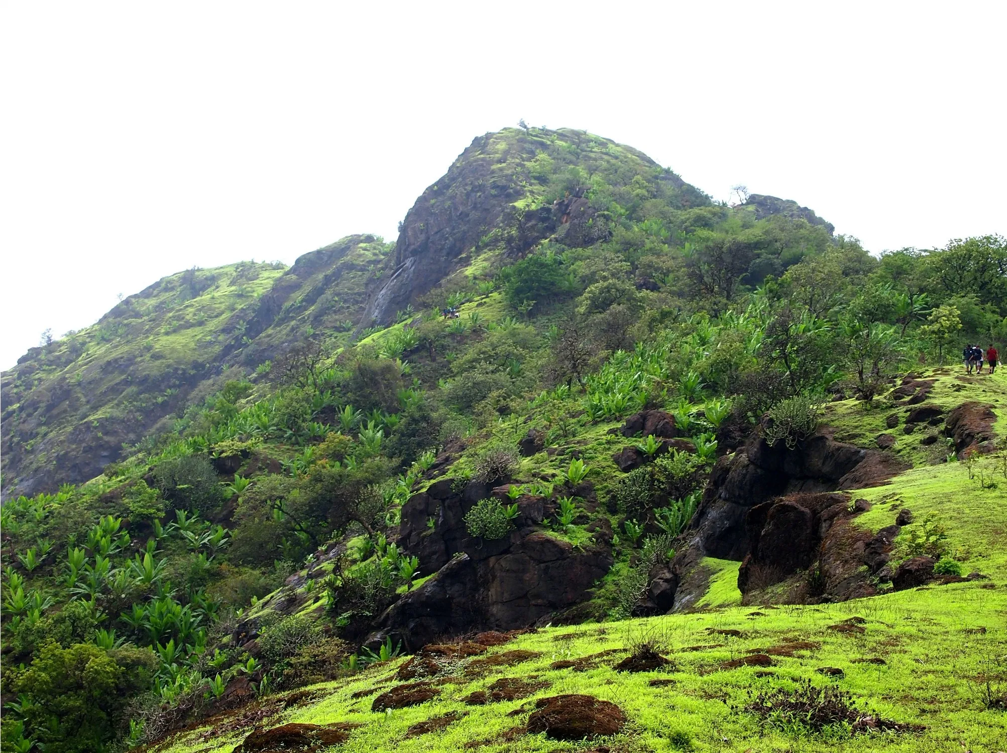
A short half-day walk with roughly 175 m of climbing from Kanheri Base to the Gaimukh plateau on a marked forest path. After the Dahisar river crossing the path turns into uneven basalt and rock-cut steps, which are slippery when wet in the monsoon.
Photos
On the trail
The route
Day by day
Day 1 · highest point
Kanheri Base (park bus stop below Kanheri Caves) → Kanheri Base (via Dahisar river crossing, Gaimukh plateau and the upper Kanheri Caves)
120 m → 295 m → 120 m
Ups and downs
Altitude profile
Where it is
Map
Trailhead and high point only — not a recorded track. Use it with a proper map.
Weather
Next 5 days on the trail
Live forecast for the trailhead and the high point. Mountain weather changes fast — check again on the morning you start.
Trailhead · Kanheri Base
at 120 mLoading forecast…
High point · Gaimukh plateau (Gaumukh point above Kanheri Caves)
at 295 mLoading forecast…
Each day: high / low °C · rain mm and chance · snow cm · wind km/h
Weather data: Open-Meteo.comModel forecast, not an official warning. For alerts follow IMD and the local administration.
Plan the trip
How to reach
- Trailhead
- Kanheri Base (nearest town: Borivali)
- Nearest railway
- Borivali (Western line suburban), about 1 km from the Sanjay Gandhi National Park main gate
- Nearest airport
- Chhatrapati Shivaji Maharaj International Airport, Mumbai
- By road
- Borivali station east exit to the SGNP main gate (about 1 km by auto-rickshaw or on foot); SGNP main gate to Kanheri Base (about 6.2 km on the park road by park bus, bicycle or a 1.5-2 hour walk); Metro Line 2A/7 to Rashtriya Udyan station, then about 500 m to the main gate
- Drive
- About 1.5 h from Mumbai (Churchgate)
Plan the trip
Permits and fees
We could not confirm the current permit rules and fees from an official source. Check with the local forest department or tourism office before you go.
Plan the trip
Cost
Self-guided
₹1,250–1,700
With an operator
₹950–1,250
Per person, ex-Borivali (SGNP main gate). The Gaimukh trail cannot be walked independently: it must be booked through the SGNP Nature Information Centre and is led by an SGNP naturalist. Indiahikes (2026) reports the NIC trek fee as ₹1,200 per person including the naturalist, the park bus to Kanheri Base and light snacks; this is not from an official fee list, so confirm with the NIC. The 'self-guided' range is a booking made directly with the NIC plus local train or metro, auto-rickshaw and the separate Kanheri Caves ticket. Guided range: Bhatakna Tours lists its neighbouring Upper Kanheri trail at ₹950, with ₹1,250 including GST, park entry, NIC trail entry, caves entry, breakfast and park transport. We could not confirm a second operator's current published price.
Gear
Top picks for this trek
The gear that matters most on this route, chosen from its altitude, season and risks.
 Ad · affiliate link
 Ad · affiliate link
 Ad · affiliate link
 Ad · affiliate link
- Ad · affiliate link
 Ad · affiliate link
 Ad · affiliate link
 Ad · affiliate link
Store buttons open a search on that store, not a product we picked. As an Amazon Associate we earn from qualifying purchases. Photos show the kind of item, not a specific product. Affiliate disclosure
Packing checklist
Matched to this trek: altitude, season, days and the risks on the route.
Packed 0 of 22
Monsoon months (Jun–Sep): pack everything in plastic or a dry bag and wear shoes with good grip.
Tick each item as it goes in the bag.
Know before you go
Good to know
- Mobile network
- Not confirmed by our sources; the trail is inside a city national park, but signal can drop in the forest and on the far side of the hill.
- Last ATM
- Not confirmed by our sources; Borivali, outside the main gate, has many banks and ATMs. Carry cash for tickets and food stalls.
- Nearest hospital
- Not confirmed by our sources; the nearest hospitals are in Borivali, outside the park's main gate.
- Water
- No drinking water or food on the forest trail; carry at least 2 litres. Food stalls, drinking water and washrooms are at Kanheri Base near the caves.
Highlights
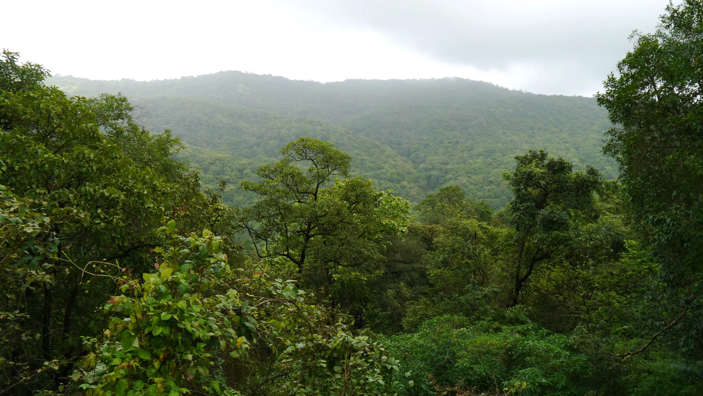
- Dense SGNP forest within Mumbai city limits: teak, mahua, bamboo and karvi, with birds such as the Asian paradise flycatcher, drongos and sunbirds
- Crossing the upper Dahisar river and climbing old basalt steps cut into the rock
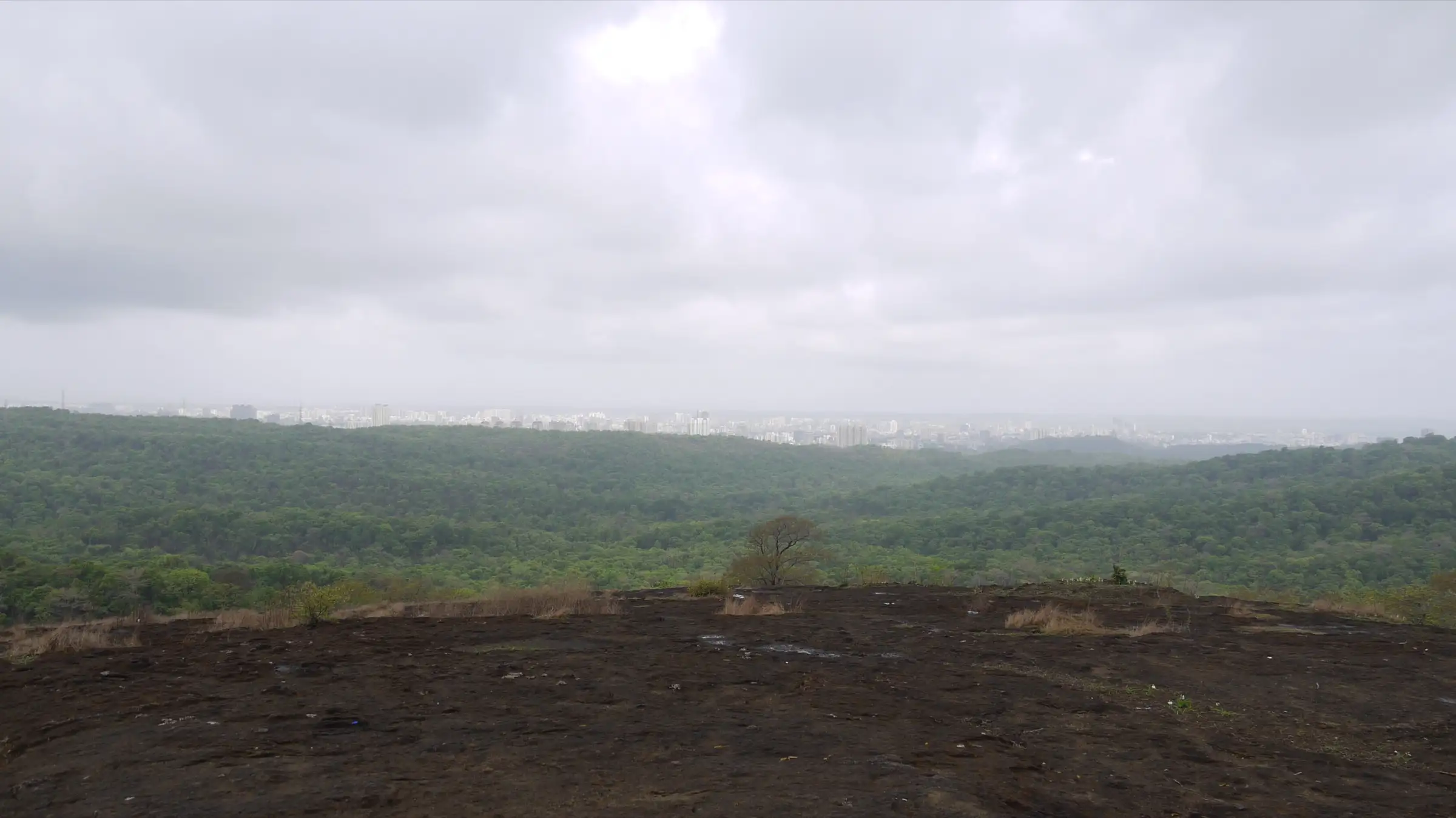
- Open Gaimukh plateau with views over the park's forest, Tulsi and Vihar lakes and the Mumbai skyline
- Return past the upper caves of Kanheri, a Buddhist rock-cut complex of about 109 caves with viharas, a chaitya hall, sculptures of the Buddha and bodhisattvas, inscriptions and rock-cut rainwater cisterns dating from about the 1st century CE
Risks
- Regulated trail: registration with the SGNP Nature Information Centre is mandatory, an authorised SGNP naturalist must lead every group, and Indiahikes reports a minimum group of five. Walking off the marked route is not allowed; the trail beyond Gaimukh towards Jambhulmal needs separate permission.
- Trail timings are fixed by the park and the trail closes by 3 pm, so start early.
- Monsoon (June-September): moss-covered basalt, rock-cut steps and the Dahisar river crossing are slippery, and water runs over the paths around the caves. Wear shoes with good grip and do not cross a stream in spate.
- Summer (March-May) daytime temperatures reach 30-38°C on the exposed rock plateau; start at dawn and carry extra water.
- SGNP is leopard habitat. Stay with the naturalist and the group, wear dull colours and do not walk the forest alone or at dusk.
- Kanheri Caves is a protected archaeological monument and a Buddhist heritage site: do not climb on sculptures, touch carvings or leave litter, and keep voices low in the prayer halls.
Know before you go
Questions
Do I need permission to do the Gaimukh-Kanheri Caves trail?
Yes. It is a regulated trail inside Sanjay Gandhi National Park, booked through the park's Nature Information Centre (official contact: natureinformationcentresgnp@gmail.com, 022-28868686). Registration is confirmed by the coordinator before payment, and an SGNP naturalist leads the group.
Can I do the trail alone?
No. An authorised SGNP naturalist must accompany every group, and Indiahikes reports a minimum group size of five. Solo trekkers can ask the Nature Information Centre to join another registered group.
How long and how difficult is the trail?
Indiahikes gives about 4.5 km from Kanheri Base to the Gaimukh plateau and back via the caves, about 3.5 hours, and rates it easy and beginner-friendly. Expect a river crossing and uneven basalt steps after it. Longer versions that also cross the upper Kanheri plateau are sold as about 7 km.
How do I reach the start of the trail?
Take a Western line train to Borivali (or Metro Line 2A/7 to Rashtriya Udyan) and go to the SGNP main gate. The trail starts at Kanheri Base, about 6.2 km inside the park; the park bus takes 10-15 minutes, or you can walk the park road in about 1.5-2 hours.
Is the Kanheri Caves ticket included?
Not on the NIC trail booking as reported by Indiahikes. The caves are managed separately and need their own entry ticket; if you only walk past the complex to the bus stop you do not need one.
What is the best season?
October to February gives the most comfortable weather and clear views. June to September is the greenest, with flowing streams and fungi, but the rock is slippery. Summer is very hot on the plateau, so start at dawn.
In an emergency
Save these numbers before you lose signal. Tap to call.
- 112All emergenciesIndia’s single emergency number — works in every state
- 108Ambulance
- 1077District disaster control room
You are in
District: Mumbai SuburbanMaharashtra
- Nearest hospital
- Not confirmed by our sources; the nearest hospitals are in Borivali, outside the park's main gate.
- Last ATM
- Not confirmed by our sources; Borivali, outside the main gate, has many banks and ATMs. Carry cash for tickets and food stalls.
- Phone network
- Not confirmed by our sources; the trail is inside a city national park, but signal can drop in the forest and on the far side of the hill.
Before you set off
- Tell someone your route and when you will be back.
- Carry a charged phone and a power bank.
- Download an offline map of the route.
- Turn back if the weather turns bad — the mountain will wait.
Questions about Kanheri Caves
No questions yet. Ask something and trekkers who have done it can answer.
Share your trek photo with #TreksAndTrails
I trekked this
Did Kanheri Caves look different from this page? Tell us what changed and we will check it.
Where this comes from
Sources
Last reviewed:
- Nature Trails - Sanjay Gandhi National Park — Sanjay Gandhi National Park, Maharashtra Forest Department (official)
- A Complete Guide to the Gaimukh-Kanheri Caves Jungle Trail — Indiahikes
- Gaimukh Trek, SGNP, Borivali East — Mumbai Musafir (via Urbanaut)
- Gaumukh Temple hike via Kanheri caves — Wikiloc (GPS trip record by nomadosauras)
- Upper Kanheri Trek — Bhatakna Tours and Travels
- Kanheri Caves — Wikipedia
Photos: Dinesh Valke from Thane, India, CC BY-SA 2.0; Dinesh Valke from Thane, India, CC BY-SA 2.0