Jambulmal Trek
Mumbai Suburban, Maharashtra
Opens without signal on this phone, with the map file and checklist. Saved for offline →
- Max altitude
- 468 m
- Days
- 1 day
- Distance
- 5 km
- Difficulty
- Easy
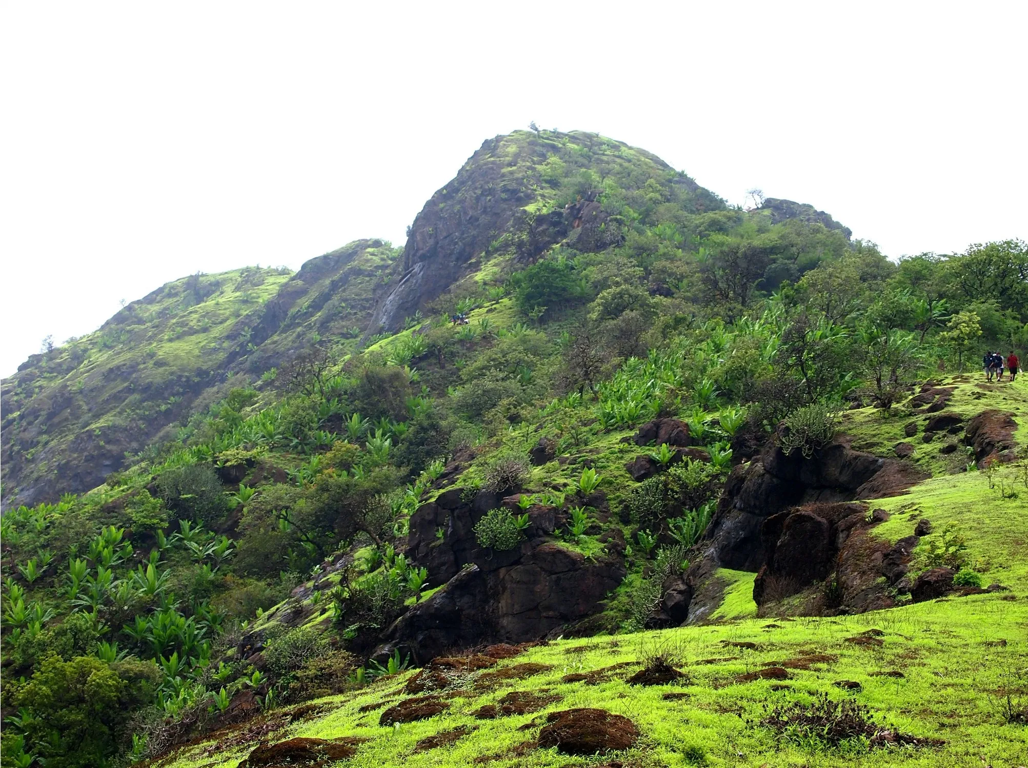
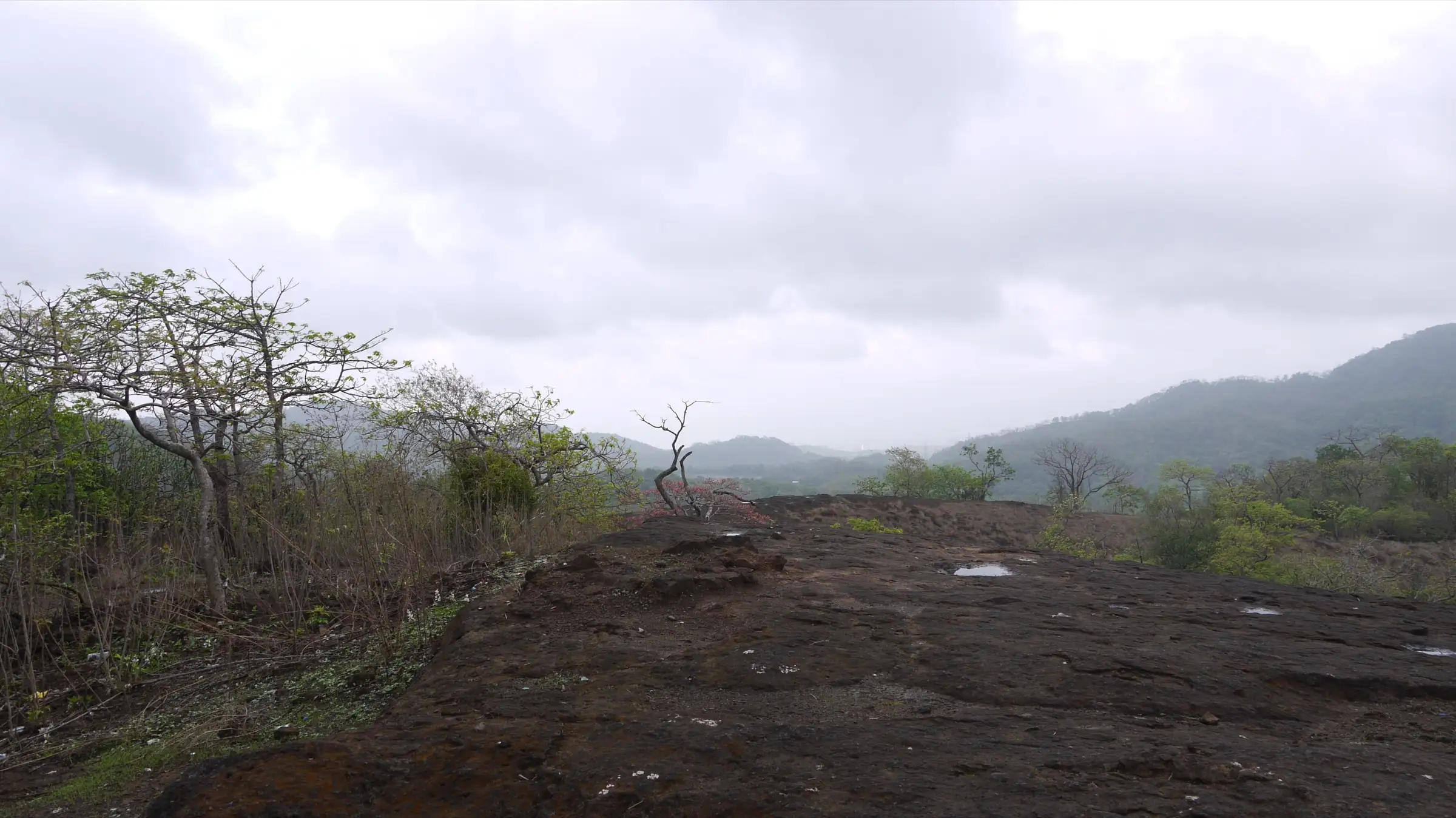
A half-day forest walk of about 2.5 km each way from Kanheri Caves, climbing roughly 345 m to the highest point in Mumbai. The park describes stream crossings and rocky hill slopes on the way; operators grade it easy and say most walkers reach the top in about two and a half hours. Wet basalt in the monsoon is the main difficulty.
Photos
On the trail
The route
Day by day
Day 1 · highest point
Kanheri Caves (Kanheri Base, reached by park bus or vehicle from the SGNP main gate) → Kanheri Caves (out and back via the Bamboo Hut trail, Ashok Van and Jambulmal peak)
123 m → 468 m → 123 m
Ups and downs
Altitude profile
Where it is
Map
Trailhead and high point only — not a recorded track. Use it with a proper map.
Weather
Next 5 days on the trail
Live forecast for the trailhead and the high point. Mountain weather changes fast — check again on the morning you start.
Trailhead · Kanheri Caves (Kanheri Base)
at 123 mLoading forecast…
High point · Jambulmal peak, highest point of Mumbai (Sanjay Gandhi National Park)
at 468 mLoading forecast…
Each day: high / low °C · rain mm and chance · snow cm · wind km/h
Weather data: Open-Meteo.comModel forecast, not an official warning. For alerts follow IMD and the local administration.
Plan the trip
How to reach
- Trailhead
- Kanheri Caves (Kanheri Base) (nearest town: Borivali)
- Nearest railway
- Borivali (Western line suburban), about 1 km from the Sanjay Gandhi National Park main gate
- Nearest airport
- Chhatrapati Shivaji Maharaj International Airport, Mumbai
- By road
- Borivali station east exit to the SGNP main gate (about 1 km by auto-rickshaw or on foot); SGNP main gate to Kanheri Caves (about 6 km on the park road by park bus, group vehicle or your own vehicle); Metro Line 2A/7 to Rashtriya Udyan station, then about 500 m to the main gate
- Drive
- About 1.5 h from Mumbai (Churchgate)
Plan the trip
Permits and fees
We could not confirm the current permit rules and fees from an official source. Check with the local forest department or tourism office before you go.
Plan the trip
Cost
Self-guided
₹1,000–1,800
With an operator
₹900–1,000
Per person, ex-Borivali (SGNP main gate). The Highest Point Trail is a regulated SGNP trail: the park's official Nature Trails page lists it and gives the Nature Information Centre (natureinformationcentresgnp@gmail.com, 022-28868686) as the booking contact. The official page does not publish a fee, so confirm the current trail fee with the NIC. Guided range: Treks and Trails India (treksandtrails.org, not related to this site) lists ₹900 including trek leader, main-gate ticket, transport inside the park and the forest permission fee; a 2019 Paytm Insider listing for a wildlife-expert-led group charged ₹1,000 including the main-gate and Kanheri Caves tickets and the special permission for the restricted trail (a past price). The self-guided range is our estimate for a booking made directly with the NIC (a naturalist-led group) plus train or metro, auto-rickshaw, park transport and the separate Kanheri Caves ticket.
Gear
Top picks for this trek
The gear that matters most on this route, chosen from its altitude, season and risks.
 Ad · affiliate link
 Ad · affiliate link
 Ad · affiliate link
 Ad · affiliate link
- Ad · affiliate link
 Ad · affiliate link
 Ad · affiliate link
 Ad · affiliate link
Store buttons open a search on that store, not a product we picked. As an Amazon Associate we earn from qualifying purchases. Photos show the kind of item, not a specific product. Affiliate disclosure
Packing checklist
Matched to this trek: altitude, season, days and the risks on the route.
Packed 0 of 21
Monsoon months (Jul–Sep): pack everything in plastic or a dry bag and wear shoes with good grip.
Tick each item as it goes in the bag.
Know before you go
Good to know
- Mobile network
- Not confirmed by our sources; the trail is inside a city national park, but signal can drop in the forest.
- Last ATM
- Not confirmed by our sources; Borivali, outside the main gate, has many banks and ATMs. Carry cash for tickets and food stalls.
- Nearest hospital
- Not confirmed by our sources; the nearest hospitals are in Borivali, outside the park's main gate.
- Water
- Streams cross the trail but are not safe to drink untreated; carry at least 2 litres. Food stalls and drinking water are at Kanheri Base near the caves.
Highlights
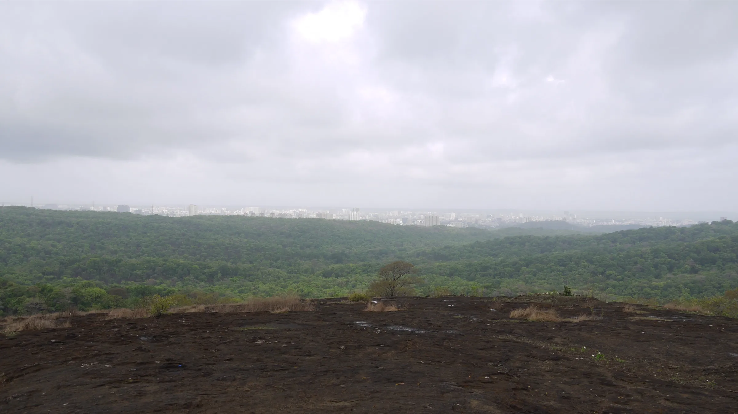
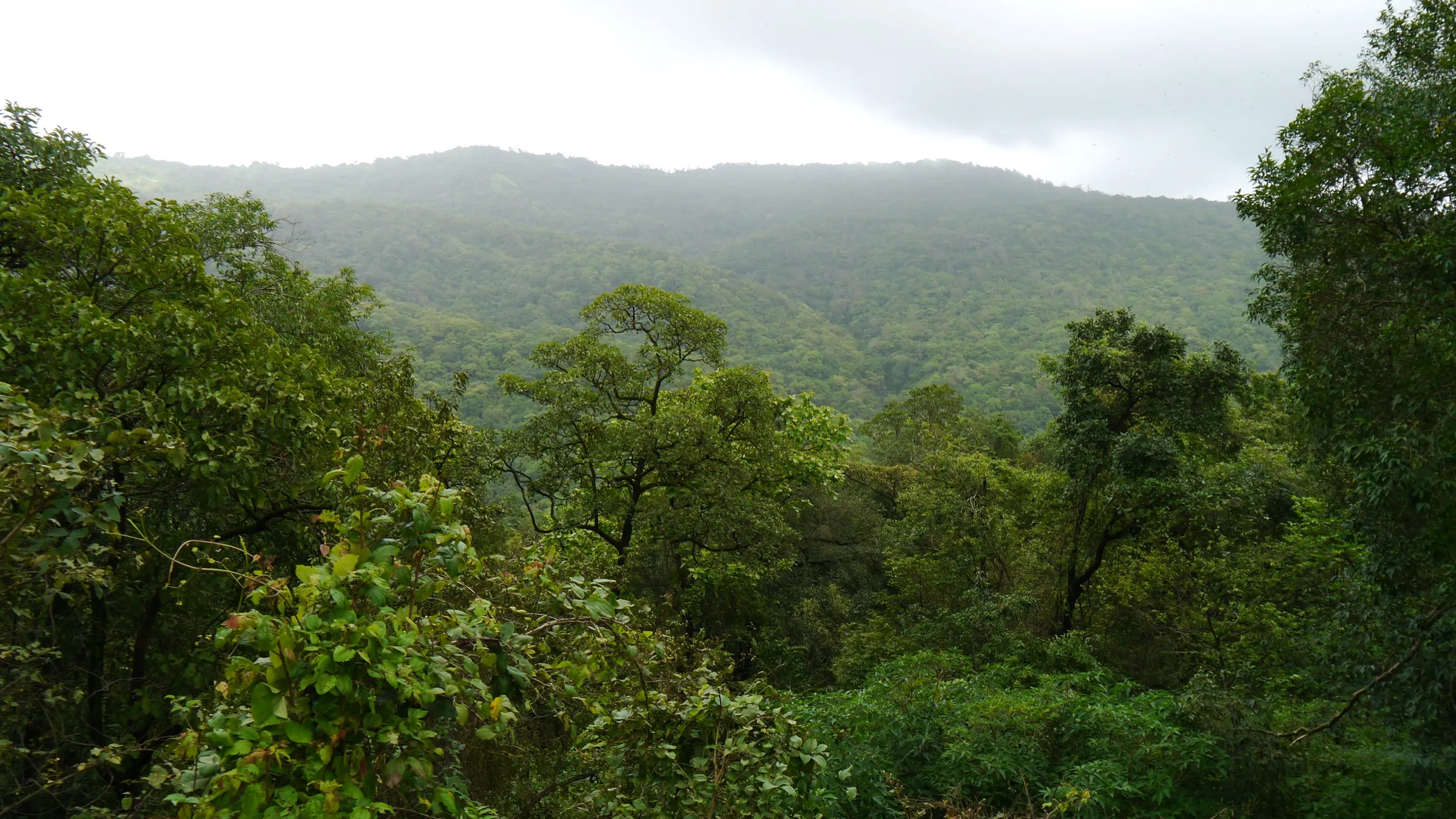
- The highest point of Mumbai (about 468 m) inside Sanjay Gandhi National Park, a forest within city limits
- Panorama of Tulsi, Vihar and Powai lakes against the city skyline from the top
- Ashok Van, a dense, shaded grove of Sita-Ashok (Saraca indica) trees on the way; in the Ramayana katha, Mata Sita was kept in an Ashok Vatika
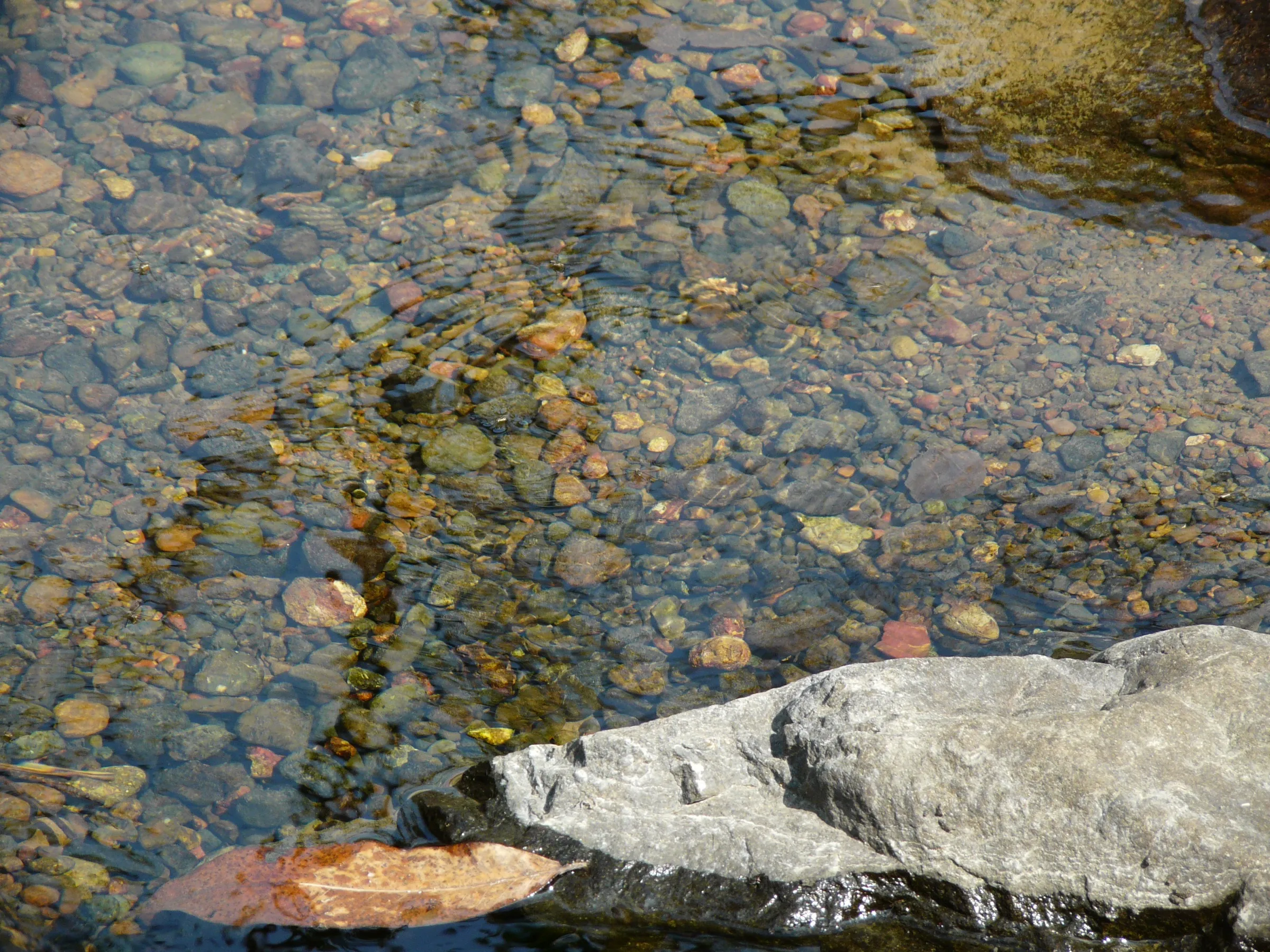
- Stream crossings, rocky hill slopes and good birding on the Bamboo Hut (Gaumukh) trail section
Risks
- Regulated trail: the Highest Point Trail is one of SGNP's nature trails booked through the park's Nature Information Centre. Operators describe Jambulmal as a restricted trail that needs special permission; do not walk beyond Gaumukh on your own.
- Monsoon (June-September): wet basalt and stream crossings are slippery; do not cross a stream in spate and wear shoes with good grip.
- SGNP is leopard habitat. Stay with the naturalist and the group, and do not walk the forest alone or at dusk.
- Summer (March-May) is hot and humid on the open slopes; start at dawn and carry extra water.
Know before you go
Questions
What is the highest point of Mumbai?
Jambulmal, a hilltop in Sanjay Gandhi National Park above the Kanheri Caves, about 468 m (1,535 ft) above sea level according to Treks and Trails India and OpenStreetMap.
Do I need permission for the Jambulmal (Highest Point) trail?
Yes. SGNP lists the Highest Point Trail among its nature trails, booked through the Nature Information Centre (natureinformationcentresgnp@gmail.com, 022-28868686). Operators describe it as a restricted trail that needs a special permission ticket. The official page does not publish a fee.
How long does the Jambulmal trek take?
About 2.5 km each way from Kanheri Caves. Operators' itineraries start walking around 7:30-8 am, reach the top by about 10 am and are back at Kanheri by late morning, so allow about 4 hours on foot.
What will I see from the top?
The SGNP page describes a panorama of three lakes, Tulsi, Vihar and Powai, against the backdrop of the city.
Is the Jambulmal trek suitable for beginners and children?
Operators grade it easy. One guided group accepted children aged 5 and above. Expect uphill walking, stream crossings and rocky slopes.
In an emergency
Save these numbers before you lose signal. Tap to call.
- 112All emergenciesIndia’s single emergency number — works in every state
- 108Ambulance
- 1077District disaster control room
You are in
District: Mumbai SuburbanMaharashtra
- Nearest hospital
- Not confirmed by our sources; the nearest hospitals are in Borivali, outside the park's main gate.
- Last ATM
- Not confirmed by our sources; Borivali, outside the main gate, has many banks and ATMs. Carry cash for tickets and food stalls.
- Phone network
- Not confirmed by our sources; the trail is inside a city national park, but signal can drop in the forest.
Before you set off
- Tell someone your route and when you will be back.
- Carry a charged phone and a power bank.
- Download an offline map of the route.
- Turn back if the weather turns bad — the mountain will wait.
Questions about Jambulmal
No questions yet. Ask something and trekkers who have done it can answer.
Share your trek photo with #TreksAndTrails
I trekked this
Did Jambulmal look different from this page? Tell us what changed and we will check it.
Where this comes from
Sources
Last reviewed:
- Nature Trails - Sanjay Gandhi National Park — Sanjay Gandhi National Park, Maharashtra Forest Department (official)
- Jambulmal Trek - Highest Point of Mumbai Trail — Treks and Trails India (treksandtrails.org)
- Jambulmal Trek | Mumbai's Highest Point (15 Dec 2019, archived) — Paytm Insider event listing (wildlife expert Nikit Surve)
- Jambulmal (natural=peak, ele=468) — OpenStreetMap contributors
Photos: Dinesh Valke from Thane, India, CC BY-SA 2.0; KartikMistry, CC BY-SA 3.0; Shreesh Deshpande, CC BY-SA 4.0