Thanale Caves Trek
Raigad (Sudhagad taluka), Maharashtra
Opens without signal on this phone, with the map file and checklist. Saved for offline →
- Max altitude
- 340 m
- Days
- 1 day
- Distance
- 6 km
- Difficulty
- Easy
A day walk from Thanale village through dense forest and past streams to a cave ledge about 250 m above the village. Treks and Trails India rates it easy with medium endurance; trip reports give 1½ to 3 hours up, and the forest trail is easy to lose without a local guide.
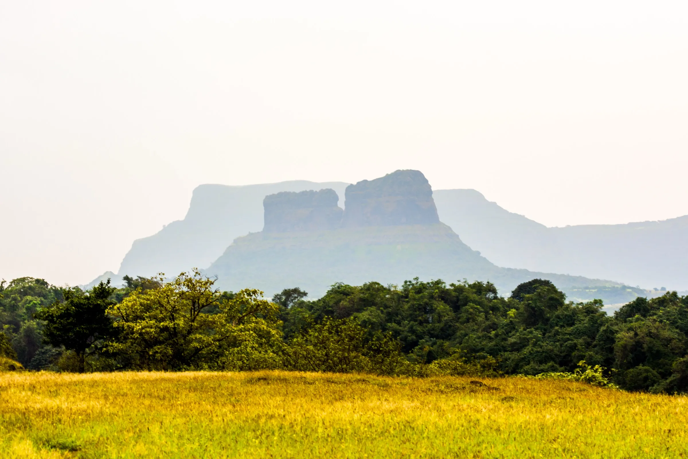
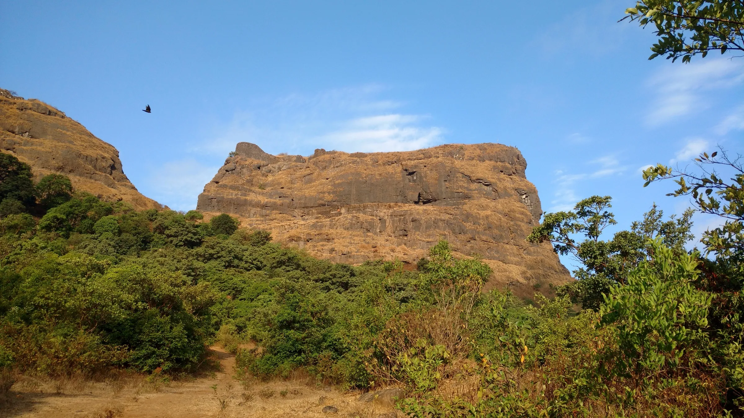
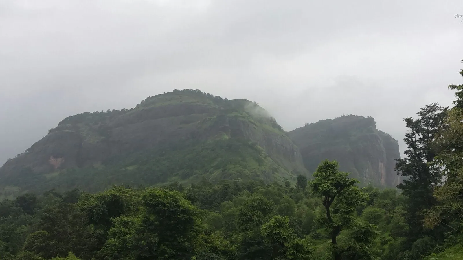
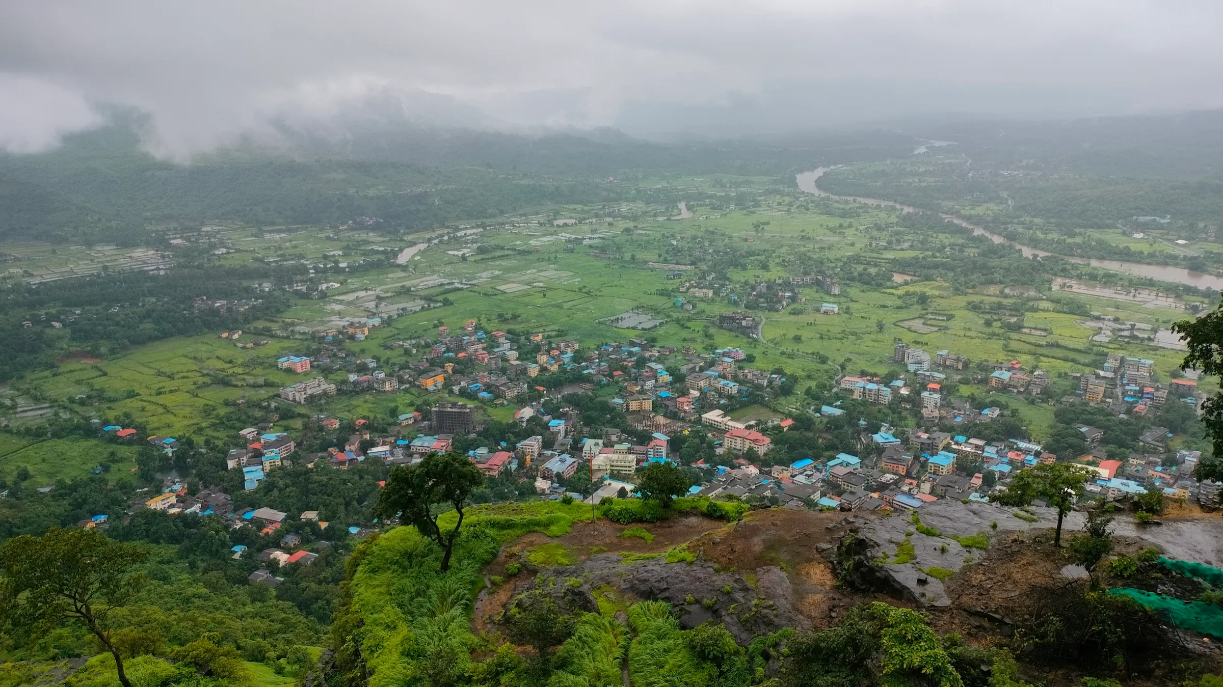
Photos
On the trail
The route
Day by day
Day 1 · highest point
Thanale village → Thanale village (via Thanale caves)
92 m → 340 m → 92 m
Ups and downs
Altitude profile
Where it is
Map
Trailhead and high point only — not a recorded track. Use it with a proper map.
Weather
Next 5 days on the trail
Live forecast for the trailhead and the high point. Mountain weather changes fast — check again on the morning you start.
Trailhead · Thanale village
at 92 mLoading forecast…
High point · Thanale Buddhist caves (cave ledge in the cliff)
at 340 mLoading forecast…
Each day: high / low °C · rain mm and chance · snow cm · wind km/h
Weather data: Open-Meteo.comModel forecast, not an official warning. For alerts follow IMD and the local administration.
Plan the trip
How to reach
- Trailhead
- Thanale village (nearest town: Pali)
- Nearest railway
- Khopoli (then state transport bus to Pali); trekkers from Mumbai also come via Panvel
- Nearest airport
- Chhatrapati Shivaji Maharaj International Airport, Mumbai
- By road
- Mumbai (Dadar): about 2½ hours by road to Thanale village, going by Treks and Trails India's bus schedule; Pali: about 18 km to Thanale; state transport buses run from Pali to Thanale, or take a bus or shared vehicle to Dhondse Phata and walk via Nadsur; Khopoli: state transport bus to Pali, then on to Thanale
- Drive
- About 2.5 h from Mumbai
Plan the trip
Permits and fees
We could not confirm the current permit rules and fees from an official source. Check with the local forest department or tourism office before you go.
Plan the trip
Cost
Self-guided
₹400–900
With an operator
₹1,000
Per person, ex-Mumbai. Guided: Treks and Trails India lists ₹1,000 (non-AC bus from Dadar, trek leader, breakfast and tea, evening tea; carry your own packed lunch). No second operator's current price was found. Self-guided is an estimate: train to Khopoli or Panvel, state transport bus to Pali and on to Thanale, food, and a tip for a village guide.
Gear
Top picks for this trek
The gear that matters most on this route, chosen from its altitude, season and risks.
 Ad · affiliate link
 Ad · affiliate link
 Ad · affiliate link
 Ad · affiliate link
- Ad · affiliate link
 Ad · affiliate link
 Ad · affiliate link
 Ad · affiliate link
Store buttons open a search on that store, not a product we picked. As an Amazon Associate we earn from qualifying purchases. Photos show the kind of item, not a specific product. Affiliate disclosure
Packing checklist
Matched to this trek: altitude, season, days and the risks on the route.
Packed 0 of 21
Monsoon months (Jul–Sep): pack everything in plastic or a dry bag and wear shoes with good grip.
Tick each item as it goes in the bag.
Know before you go
Good to know
- Mobile network
- Not confirmed by our sources; expect weak or no signal in the forest below the cliff.
- Last ATM
- Pali (not confirmed for Thanale)
- Nearest hospital
- Pali for first care; Khopoli or Panvel for serious cases (estimate, not stated by our sources)
- Water
- Streams and small waterfalls cross the trail; one trip report filled bottles at a stream below the caves. Carry 2 litres from the village and treat stream water.
Highlights
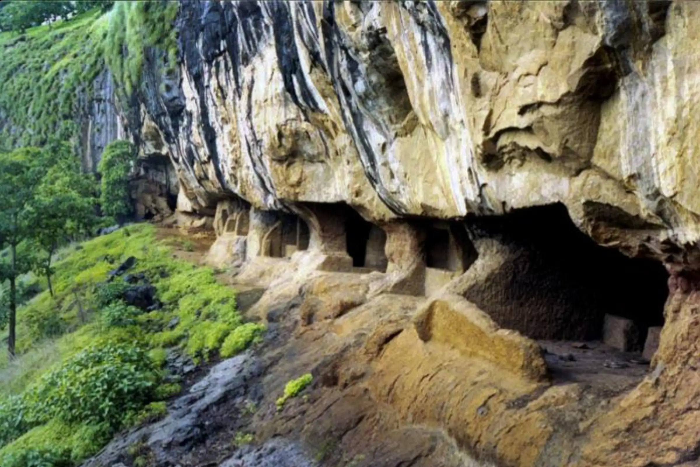
- A group of about 23 Buddhist rock-cut caves from around the 1st century BCE, with two chaityas (prayer halls), stupas and viharas (monastic dwellings), protected by the Archaeological Survey of India
- Cave 7, the largest, has cells for monks with stone benches and walls carved with the Buddhist railing, chaitya-arch and other mouldings, with figures of people and animals
- A hall of rock-cut stupas, and two inscriptions recording the names of donors
- A quiet forest walk from Thanale village past streams and seasonal waterfalls, with views of the Sahyadri wall and Sudhagad
- Can be linked with old ghat routes (Waghjai Ghat, Savashni Ghat) to Tailbaila on the plateau above, for experienced trekkers
Risks
- The forest trail is easy to lose: one trip report relied on village children as guides, and another group had to search for the caves. Hire a local guide in Thanale.
- Streams and waterfalls on the way can run knee-deep in the monsoon; do not cross a swollen stream after heavy rain.
- The cave ledge runs along the base of a high cliff with a steep slope below; rock and mud are slippery in rain.
- Trip reports warn of snakes and scorpions; watch where you step and put your hands.
- Raigad district has issued monsoon prohibitory orders for some waterfalls and ghats in past years (e.g. Devkund and Tamhini in 2025). No order naming Thanale was found, but check for a current district order before a monsoon visit.
- These are protected monuments and a Buddhist heritage site: do not scratch or write on the carvings, and do not leave litter.
Know before you go
Questions
Where are the Thanale caves and what is the base village?
They are in Sudhagad taluka of Raigad district, about 18 km from Pali. The usual walk starts from Thanale village; the caves can also be reached from Nadsur, which is why they are also called the Nadsur Caves.
How long does the Thanale caves trek take?
Treks and Trails India allows about 2½ hours up and 2 hours down. One trip report took about 3 hours to climb and 45 minutes to come down; a trek organiser quoted to The Asian Age called it about 1½ hours and fairly easy.
What is there to see at the caves?
About 23 Buddhist rock-cut caves from around the 1st century BCE: two chaityas, stupas and many viharas with cells for monks. Cave 7 is the largest and is decorated with carved railings, arches and figures. Two inscriptions name the donors.
Can I do the Thanale caves trek on my own?
The forest is thick and the trail is easy to lose. Wikipedia notes painted arrow marks along the trail, but trip reports advise taking a local guide from Thanale village.
When is the best time to visit Thanale caves?
Operators run it as a monsoon trek, when streams and waterfalls are flowing, and it is also walked in the cooler months after the rains. In heavy rain, streams rise and the trail is slippery, so check the forecast and any district orders.
In an emergency
Save these numbers before you lose signal. Tap to call.
- 112All emergenciesIndia’s single emergency number — works in every state
- 108Ambulance
- 1077District disaster control room
You are in
District: Raigad (Sudhagad taluka)Maharashtra
- Nearest hospital
- Pali for first care; Khopoli or Panvel for serious cases (estimate, not stated by our sources)
- Last ATM
- Pali (not confirmed for Thanale)
- Phone network
- Not confirmed by our sources; expect weak or no signal in the forest below the cliff.
Before you set off
- Tell someone your route and when you will be back.
- Carry a charged phone and a power bank.
- Download an offline map of the route.
- Turn back if the weather turns bad — the mountain will wait.
Questions about Thanale Caves
No questions yet. Ask something and trekkers who have done it can answer.
Share your trek photo with #TreksAndTrails
I trekked this
Did Thanale Caves look different from this page? Tell us what changed and we will check it.
Where this comes from
Sources
Last reviewed:
- Thanale Caves Trek — Treks and Trails India (treksandtrails.org)
- Thanale Caves — Wikipedia
- Thanale Caves (trip report) — Hackuguys (trip report)
- Road less travelled (trek organisers' monsoon picks, including Thanale by Jumpstart Outdoors) — The Asian Age
- Waghjai Ghat – Thanale Caves – Savashni Ghat (trip report) — Amit Uday Marathe (blog)
- Sudhagad Fort Trek (mentions the Sudhagad – Nadsur – Thanale caves – Tailbaila route) — Indiahikes
- Thanale caves (cave entrance) and Thanale village, OpenStreetMap — OpenStreetMap
Photos: Partner, CC BY-SA 3.0; आर्या जोशी, CC BY-SA 4.0; Manojovhal, CC BY-SA 4.0