Sarasgad Trek
Raigad, Maharashtra
Opens without signal on this phone, with the map file and checklist. Saved for offline →
- Max altitude
- 490 m
- Satellite terrain suggests about 312 m
- Days
- 1 day
- Distance
- 4 km
- Difficulty
- Moderate
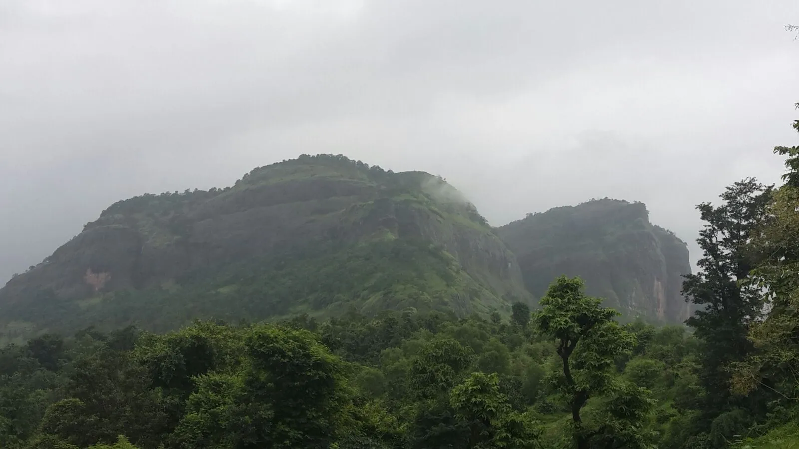
Short but steep: a forest and grassland climb from behind the Ballaleshwar Mandir, a boulder scramble that needs hands, then about 90–111 knee-high rock-cut steps between two rock towers to the Dindi Darwaja, and a tricky rock patch to the citadel. Operators grade it medium to moderate-difficult.
Photos
On the trail
The route
Day by day
Day 1 · highest point
Pali (Ballaleshwar Mandir) → Pali (via Dindi Darwaja and the citadel)
40 m → 490 m → 40 m
Ups and downs
Altitude profile
Where it is
Map
Trailhead and high point only — not a recorded track. Use it with a proper map.
Weather
Next 5 days on the trail
Live forecast for the trailhead and the high point. Mountain weather changes fast — check again on the morning you start.
Trailhead · Pali (Ballaleshwar Mandir)
at 40 mLoading forecast…
High point · Sarasgad citadel (Kedareshwar Mandir)
at 490 mLoading forecast…
Each day: high / low °C · rain mm and chance · snow cm · wind km/h
Weather data: Open-Meteo.comModel forecast, not an official warning. For alerts follow IMD and the local administration.
Plan the trip
How to reach
- Trailhead
- Pali (Ballaleshwar Mandir)
- Nearest railway
- Khopoli (then ST bus or shared vehicle to Pali); Nagothane on the Roha line is an alternative
- Nearest airport
- Pune International Airport (Mumbai airports are a similar distance by road)
- By road
- Mumbai – Mumbai-Pune Expressway (Khopoli/Imagica exit) – about 40 km to Pali; Mumbai – Panvel – Nagothane – Pali; Pune – Lonavala – Khopoli – Pali
- Drive
- About 3.5 h from Mumbai
Plan the trip
Permits and fees
We could not confirm the current permit rules and fees from an official source. Check with the local forest department or tourism office before you go.
Plan the trip
Cost
Self-guided
₹400–1,000
With an operator
₹1,200–2,000
Ex-Mumbai. Treks and Trails India lists its overnight Sarasgad night trek from Dadar at ₹1,300 per person (transport and breakfast at Pali); no second operator's current price was found, so the guided range is indicative. Self-guided estimate covers local train to Khopoli, ST bus or shared vehicle to Pali and simple meals in Pali town.
Gear
Top picks for this trek
The gear that matters most on this route, chosen from its altitude, season and risks.
 Ad · affiliate link
 Ad · affiliate link
 Ad · affiliate link
 Ad · affiliate link
- Ad · affiliate link
 Ad · affiliate link
 Ad · affiliate link
 Ad · affiliate link
Store buttons open a search on that store, not a product we picked. As an Amazon Associate we earn from qualifying purchases. Photos show the kind of item, not a specific product. Affiliate disclosure
Packing checklist
Matched to this trek: altitude, season, days and the risks on the route.
Packed 0 of 21
Monsoon months (Jul–Sep): pack everything in plastic or a dry bag and wear shoes with good grip.
Tick each item as it goes in the bag.
Know before you go
Good to know
- Mobile network
- Mobile signal in Pali town; not confirmed for the fort top. Check locally.
- Last ATM
- Pali town (the trek starts in the town); carry cash.
- Nearest hospital
- Pali town at the base; larger hospitals at Khopoli and Panvel. Check locally.
- Water
- None on the way up (Indiahikes) — carry at least 2 litres. On top there are many rock-cut cisterns; Trekshitiz says the reservoir near the base of the citadel is used for drinking and Wikipedia says the tanks hold water year-round. Treat before drinking.
Highlights
- Starts right behind the Ballaleshwar Mandir at Pali, one of the Ashtavinayak, so trek and darshan fit in one day
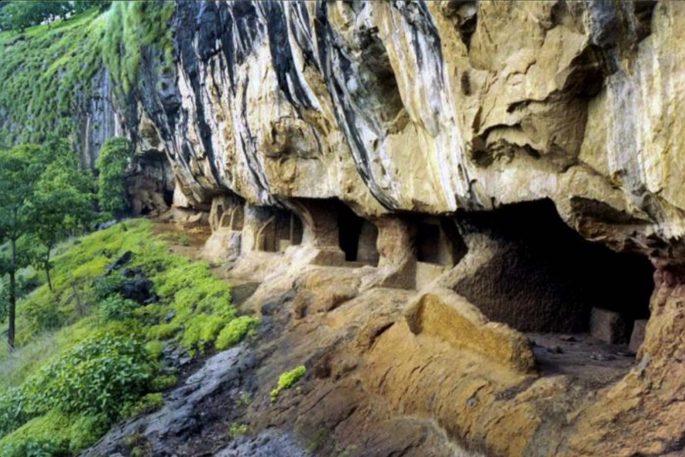
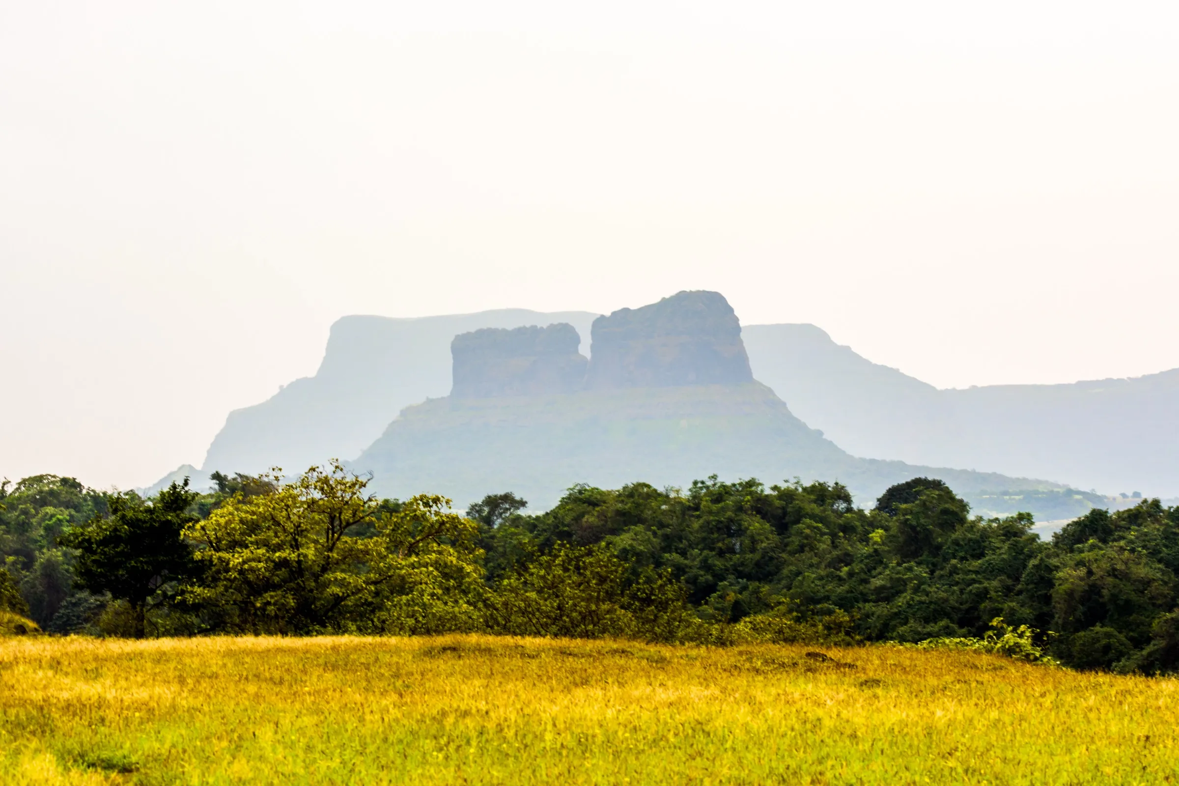
- About 90–111 tall rock-cut steps climbing a narrow cleft between two rock towers to the small Dindi Darwaja
- Rock-cut caves, grain stores and around ten water tanks below the citadel
- Kedareshwar Mandir of Bhagwan Shiv with a water tank on the citadel; Mahashivratri is celebrated here
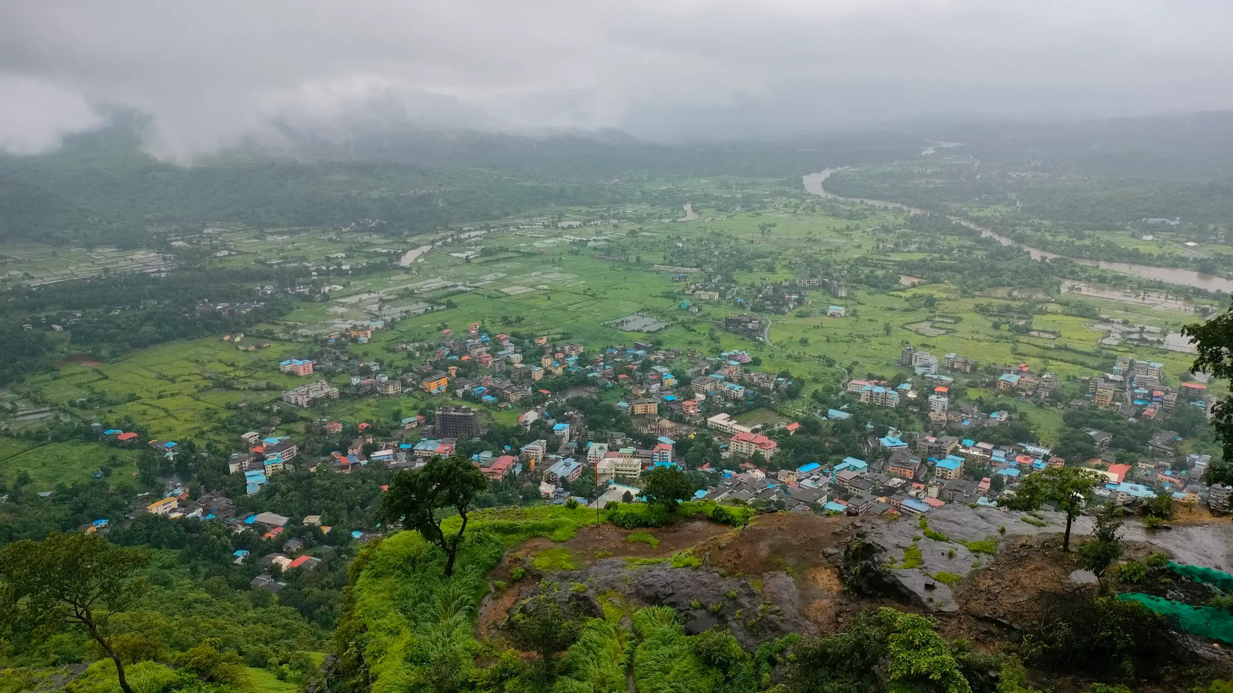
- Views of Pali town, the Amba river, Sudhagad, Tailbaila, Ghangad and Korigad from the top
Risks
- Boulder scramble below the steps needs hands and some basic rock-climbing sense; the steps are about a foot to two feet high each and slippery when wet.
- The rock patch up to the citadel is steep with narrow foot-holds; Indiahikes advises avoiding the left-hand trail around the fort, which has risky patches.
- Monsoon (June–September): mossy rock and a small waterfall beside the step-cleft make the climb much harder; one source rates it easy in winter and moderate in monsoon. No 2025–26 Raigad order naming Sarasgad was found — check for any district monsoon restriction before going.
- The south-facing approach is in sun most of the day and there is no water on the way; start early in summer.
- No food stalls on the fort; buy food in Pali.
Know before you go
Questions
Where does the Sarasgad trek start?
From Pali town, behind the Ballaleshwar Ashtavinayak Mandir. Indiahikes says parking is about 500 m from the mandir; a narrow cemented footpath leads to a dirt trail into the forest.
How long does it take to climb Sarasgad?
Indiahikes gives 2 to 2.5 hours to ascend to the Kedareshwar Mandir on the citadel; Trekshitiz gives about 1 hour from Pali to the Dindi Darwaja. Allow 4–5 hours for the round trip with time on top.
How difficult is the Sarasgad trek?
Moderate. The trail is short but steep, with a boulder scramble and 90-odd very tall rock-cut steps; Indiahikes calls it moderate-difficult and Trekshitiz and Treks and Trails India call it medium. Take care on the steps and rock in the rain.
How high is Sarasgad Fort?
Most sources (Wikipedia, Indiahikes, Trekshitiz, Treks and Trails India) give about 1,600 ft, or 490 m above sea level.
Is there water on Sarasgad?
Not on the way up — carry at least 2 litres. On top there are many rock-cut tanks; Trekshitiz names the reservoir near the base of the citadel as the one used for drinking.
In an emergency
Save these numbers before you lose signal. Tap to call.
- 112All emergenciesIndia’s single emergency number — works in every state
- 108Ambulance
- 1077District disaster control room
You are in
District: RaigadMaharashtra
- Nearest hospital
- Pali town at the base; larger hospitals at Khopoli and Panvel. Check locally.
- Last ATM
- Pali town (the trek starts in the town); carry cash.
- Phone network
- Mobile signal in Pali town; not confirmed for the fort top. Check locally.
Before you set off
- Tell someone your route and when you will be back.
- Carry a charged phone and a power bank.
- Download an offline map of the route.
- Turn back if the weather turns bad — the mountain will wait.
Questions about Sarasgad
No questions yet. Ask something and trekkers who have done it can answer.
Share your trek photo with #TreksAndTrails
I trekked this
Did Sarasgad look different from this page? Tell us what changed and we will check it.
Where this comes from
Sources
Last reviewed:
- Sarasgad Fort Trek — Indiahikes
- Sarasgad — Wikipedia
- Sarasgad, Medium Grade — Trekshitiz
- Sarasgad Fort Night Trek — Treks and Trails India
- Sarasgad & Umberkhind — Foliage Outdoors
- Sarasgad (TrekFORTS) — TrekFORTS (Sanket Sangwikar)
- Sarasgadh Trek (1400ft) — Bhramanti
- Sarasgad Fort — Mountain Project
Photos: Pradeep717, CC BY-SA 4.0; Pradeep717, CC BY-SA 4.0; Pradeep717, CC BY-SA 4.0; Pradeep717, CC BY-SA 4.0