Sudhagad Trek
Raigad, Maharashtra
Opens without signal on this phone, with the map file and checklist. Saved for offline →
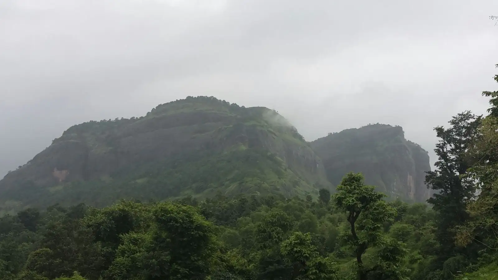
- Max altitude
- 618 m
- Days
- 1 day
- Distance
- 7 km
- Difficulty
- Easy
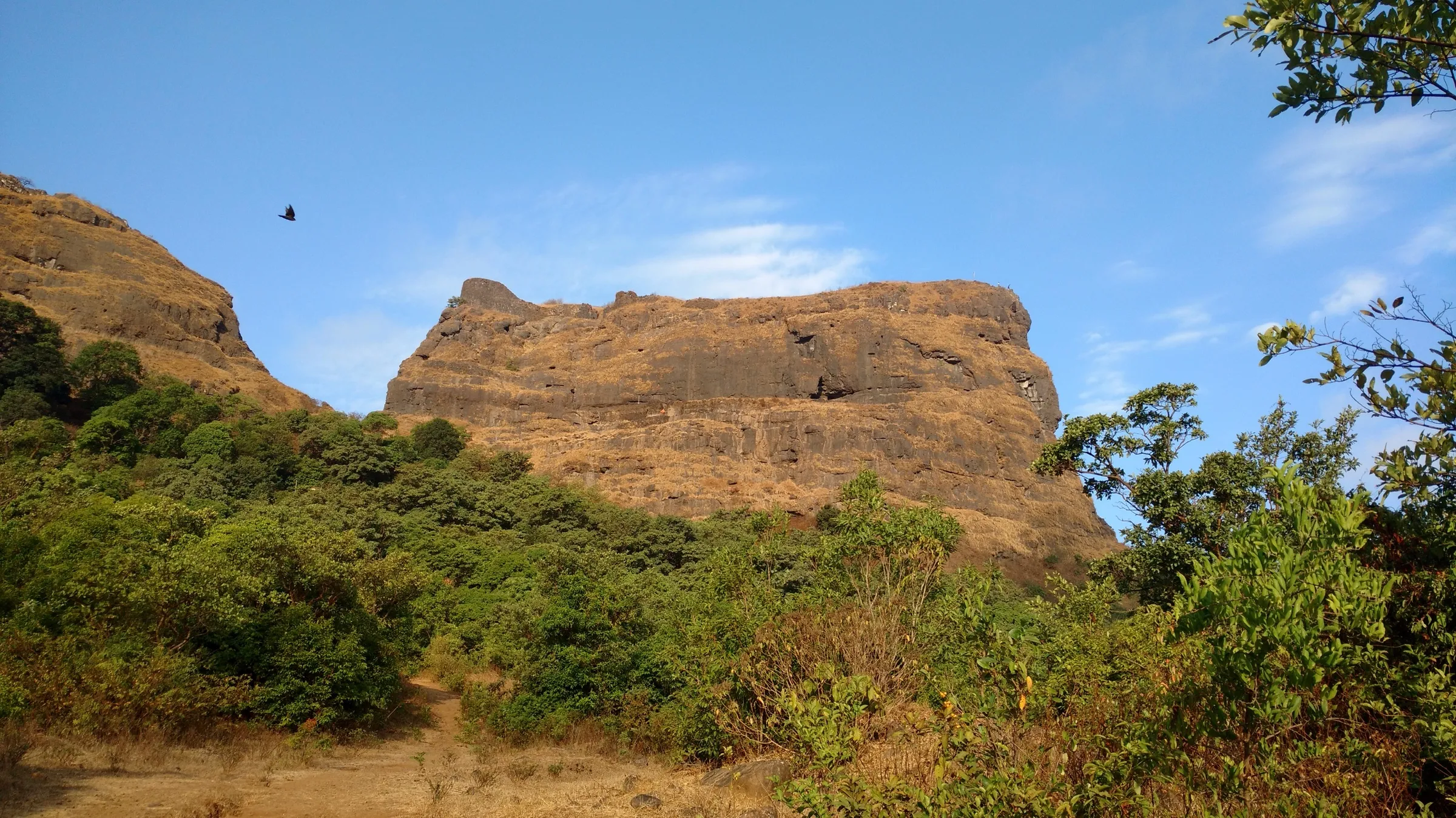
A broad, well-marked trail of about 2 hours from Thakurwadi with stone steps and two fixed iron ladders on the steeper rock patches; the plateau on top is large and takes 2–3 hours more to explore.
Photos
On the trail
The route
Day by day
Day 1 · highest point
Thakurwadi → Thakurwadi (via Pachhapur Darwaja and Bhorai Devi Mandir)
150 m → 618 m → 150 m
Ups and downs
Altitude profile
Where it is
Map
Trailhead and high point only — not a recorded track. Use it with a proper map.
Weather
Next 5 days on the trail
Live forecast for the trailhead and the high point. Mountain weather changes fast — check again on the morning you start.
Trailhead · Thakurwadi
at 150 mLoading forecast…
High point · Sudhagad plateau
at 618 mLoading forecast…
Each day: high / low °C · rain mm and chance · snow cm · wind km/h
Weather data: Open-Meteo.comModel forecast, not an official warning. For alerts follow IMD and the local administration.
Plan the trip
How to reach
- Trailhead
- Thakurwadi (nearest town: Pali)
- Nearest railway
- Khopoli (then ST bus to Pali and a shared or hired vehicle to Thakurwadi)
- Nearest airport
- Pune International Airport
- By road
- Mumbai – Panvel – Khalapur – Pali – Pachhapur – Thakurwadi; Pune – Lonavala – Khalapur – Pali – Pachhapur – Thakurwadi
- Drive
- About 3.5 h from Mumbai
Plan the trip
Permits and fees
We could not confirm the current permit rules and fees from an official source. Check with the local forest department or tourism office before you go.
Plan the trip
Cost
Self-guided
₹400–1,200
With an operator
₹1,200–2,000
Ex-Mumbai. Treks and Trails India lists its one-day guided Sudhagad trek at ₹1,399 per person; only that one operator price was confirmed, so the guided range is indicative. Self-guided estimate covers local train to Khopoli, ST bus to Pali, auto/shared vehicle to Thakurwadi and simple village meals; an overnight stay at the wada with meals from the caretaker costs extra.
Gear
Top picks for this trek
The gear that matters most on this route, chosen from its altitude, season and risks.
 Ad · affiliate link
 Ad · affiliate link
 Ad · affiliate link
 Ad · affiliate link
- Ad · affiliate link
 Ad · affiliate link
 Ad · affiliate link
 Ad · affiliate link
Store buttons open a search on that store, not a product we picked. As an Amazon Associate we earn from qualifying purchases. Photos show the kind of item, not a specific product. Affiliate disclosure
Packing checklist
Matched to this trek: altitude, season, days and the risks on the route.
Packed 0 of 22
Monsoon months (Jul–Sep): pack everything in plastic or a dry bag and wear shoes with good grip.
Tick each item as it goes in the bag.
Know before you go
Good to know
- Mobile network
- Limited mobile signal on most networks (Treks and Trails India); patchy on the plateau.
- Last ATM
- Pali town, about 13 km before Thakurwadi; carry cash.
- Nearest hospital
- Pali (about 13 km from Thakurwadi); larger hospitals at Khopoli and Panvel. Check locally.
- Water
- No water on the way up from Thakurwadi; carry 2 litres. On top there are lakes, wells and rock-cut cisterns — Trekshitiz says drinking water is available year-round, Indiahikes says the first tank holds water only till about November–December. Treat before drinking.
Highlights
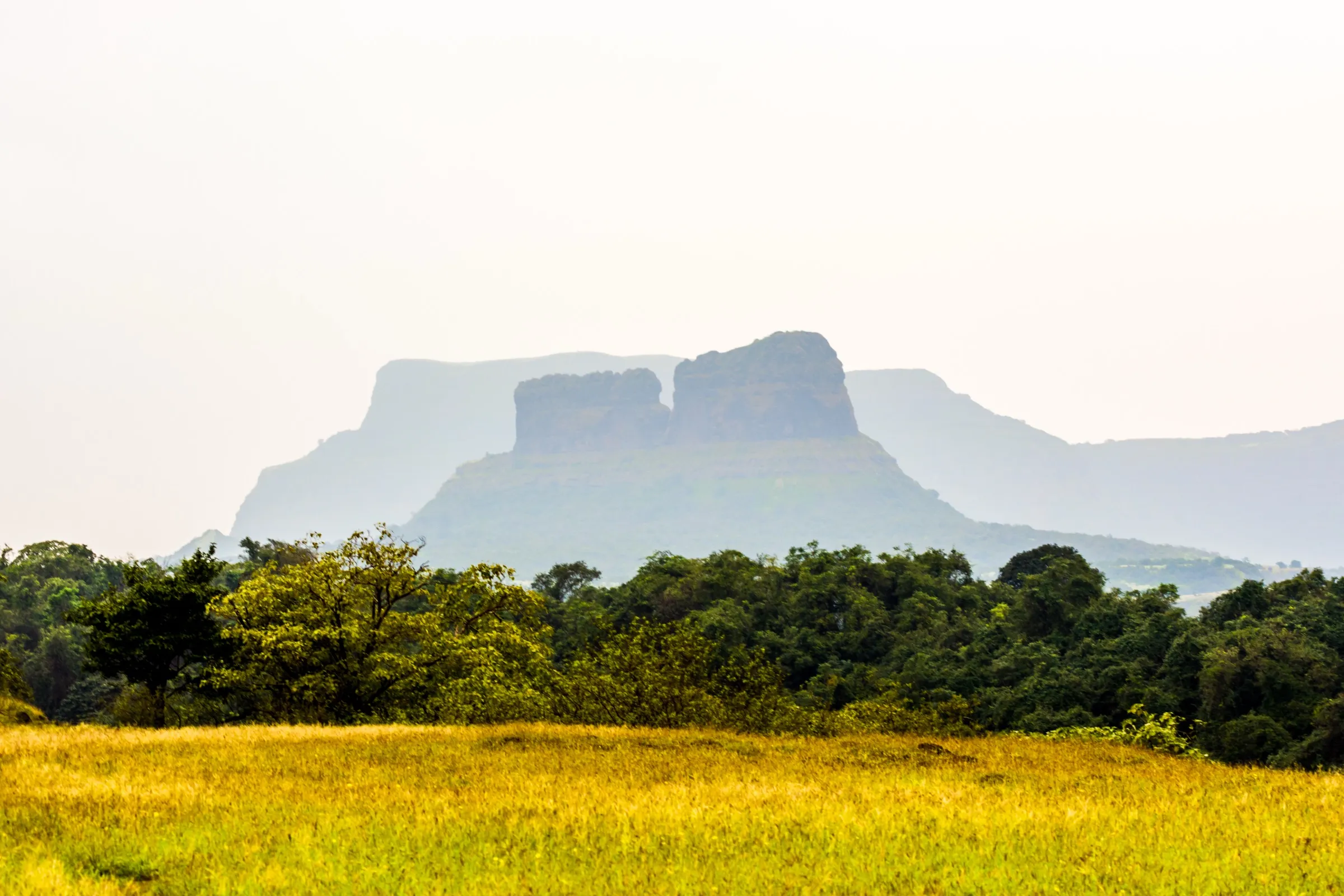
- A huge flat-topped fort plateau with lakes, ponds and wildflowers after the rains, and views of Tailbaila, Ghangad, Korigad and Sarasgad
- Bhorai Devi Mandir, the presiding Devi who gave the fort its old name Bhorapgad, with a deepmal and hero stones in the courtyard
- Pant Sachiv Wada, a wooden-pillared courtyard house where trekkers can spend the night
- Takmak Tok cliff and the hidden Dindi Darwaja, built in the gomukhi style like the Maha Darwaja of Raigad
- Short drive from both Mumbai and Pune (about 3–3.5 hours), easily combined with darshan at Ballaleshwar, Pali
Risks
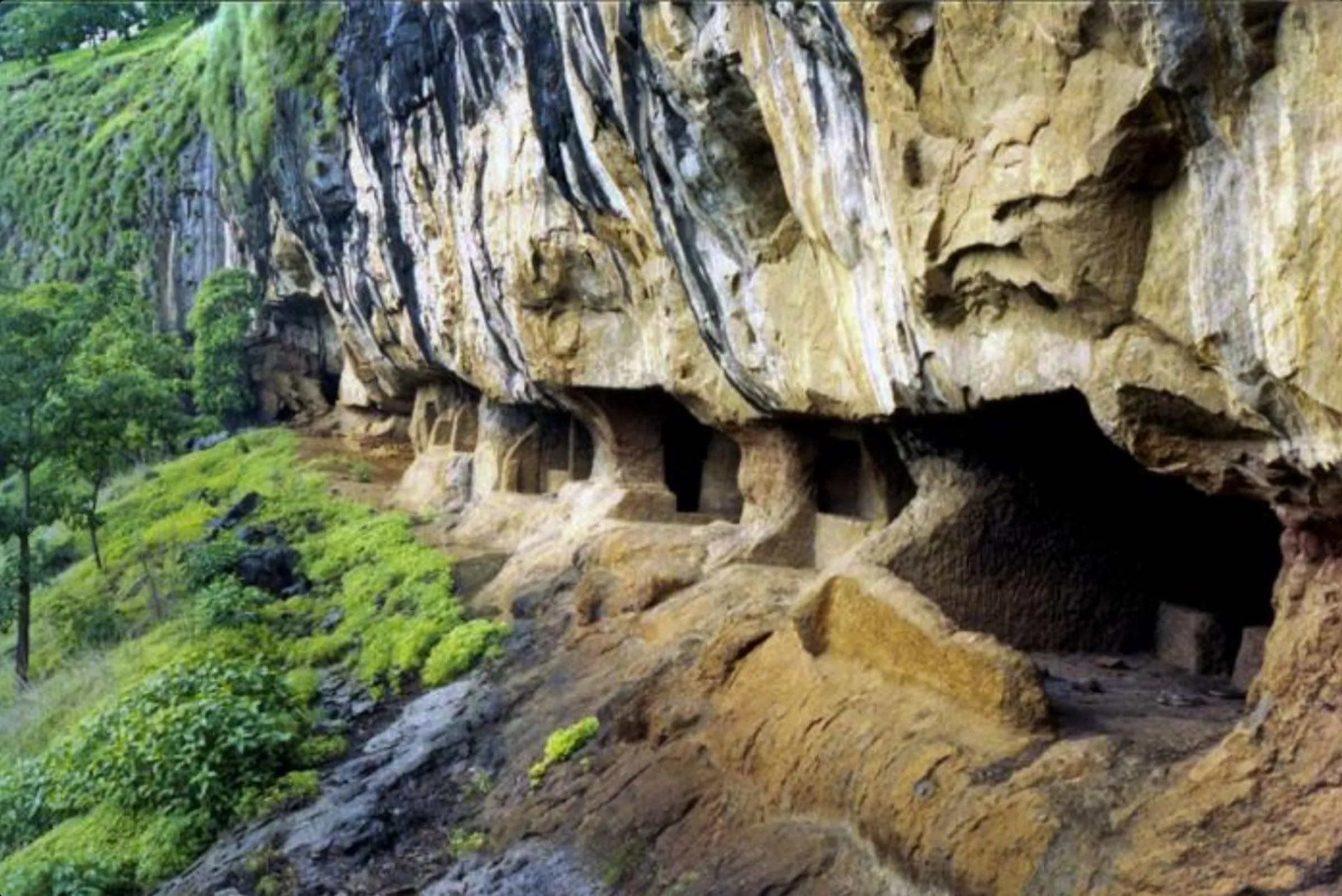
- Two fixed iron ladders and rock-cut steps on the Thakurwadi route; slippery and exposed when wet.
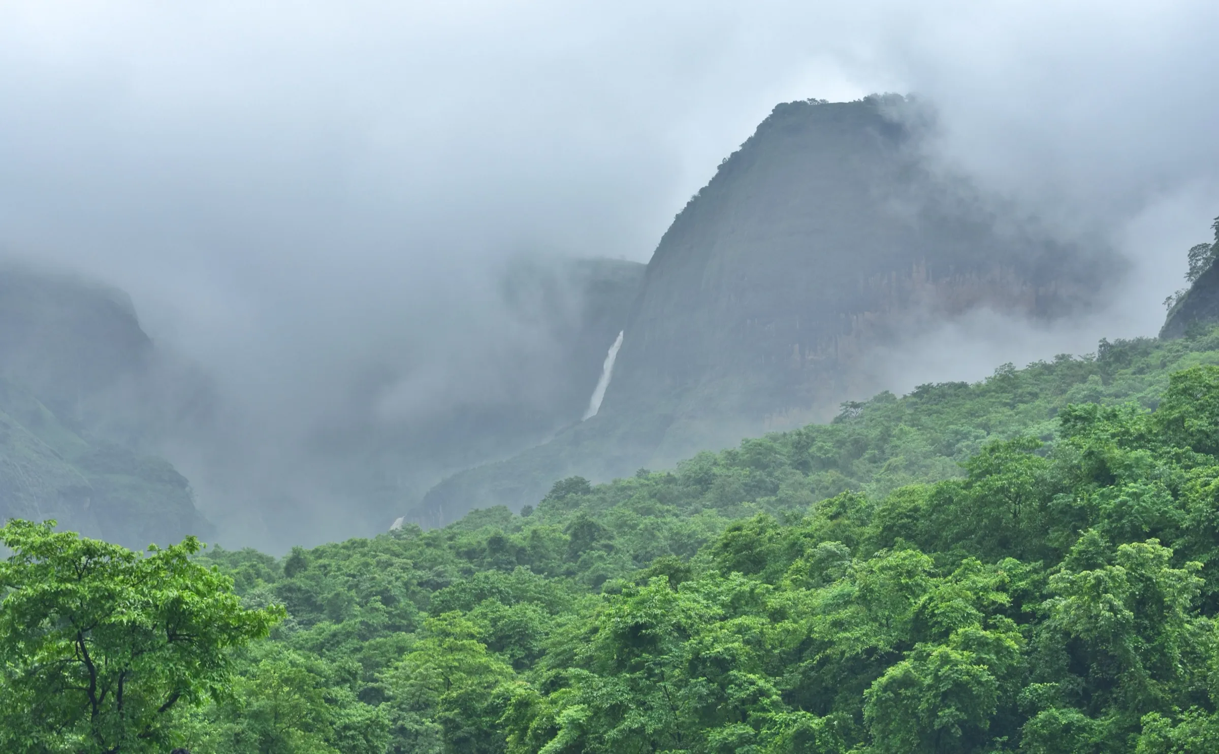
- Monsoon (June–September) brings very heavy rain, mossy rock and streams that rise quickly; the Dhondase descent crosses a stream. One operator says the forest department regularly bans the trek in monsoon — check for any Raigad district or forest order before going.
- The area lies in the Sudhagad Wildlife Sanctuary; snakes are common, so watch your step in grass and on rocks.
- Summer days are hot (operators quote around 39 °C); start early and carry enough water.
- Getting a vehicle from Pali to Thakurwadi after dark is difficult; plan the return in daylight.
Know before you go
Questions
How long does the Sudhagad trek take?
About 2 hours up from Thakurwadi and a little less down. Allow 2–3 hours more to explore the plateau, so most people take a full day; many stay overnight at the wada or the Bhorai Devi Mandir.
How far is Sudhagad from Mumbai and Pune?
Roughly 120–135 km from Mumbai and 120–145 km from Pune by road, about 3–3.5 hours' drive. The base village Thakurwadi is about 13 km from Pali.
Is Sudhagad an easy trek for beginners?
Yes. Indiahikes and Trekshitiz grade it easy; the trail is well marked and the two ladders are sturdy. Basic fitness is enough, but be careful on the ladders and steps in the rain.
Can you stay overnight on Sudhagad Fort?
Yes. The Pant Sachiv Wada (room for about 50 people per Trekshitiz) and the Bhorai Devi Mandir are used for night halts, and a caretaker on the fort can arrange simple food on request. Camping near the lakes is also common, especially in winter.
Is there an entry fee or permit for Sudhagad?
No fee is published by an official source. Parking at Thakurwadi may carry a small local charge. Check locally for any monsoon restriction orders.
In an emergency
Save these numbers before you lose signal. Tap to call.
- 112All emergenciesIndia’s single emergency number — works in every state
- 108Ambulance
- 1077District disaster control room
You are in
District: RaigadMaharashtra
- Nearest hospital
- Pali (about 13 km from Thakurwadi); larger hospitals at Khopoli and Panvel. Check locally.
- Last ATM
- Pali town, about 13 km before Thakurwadi; carry cash.
- Phone network
- Limited mobile signal on most networks (Treks and Trails India); patchy on the plateau.
Before you set off
- Tell someone your route and when you will be back.
- Carry a charged phone and a power bank.
- Download an offline map of the route.
- Turn back if the weather turns bad — the mountain will wait.
Questions about Sudhagad
No questions yet. Ask something and trekkers who have done it can answer.
Share your trek photo with #TreksAndTrails
I trekked this
Did Sudhagad look different from this page? Tell us what changed and we will check it.
Where this comes from
Sources
Last reviewed:
- Sudhagad Fort Trek — Indiahikes
- Sudhagad Trek — Indiahikes
- Sudhagad — Wikipedia
- Sudhagad, Hill forts Category — Trekshitiz
- Sudhagad Fort Trek Pali — Treks and Trails India
- About Sudhagad Fort — Treks and Trails India
- Sudhagad Fort: Maharashtra's Lesser-Known Weekend Escape — Outlook Traveller
- Suddhagad Fort FAQs — TravelSetu
Photos: Ccmarathe, CC BY-SA 4.0; Hrishikesh Burkule, CC BY 2.0; Ccmarathe, CC BY-SA 3.0; Madhu, CC BY-SA 2.0