Ghangad Trek
Pune, Maharashtra
Opens without signal on this phone, with the map file and checklist. Saved for offline →
- Max altitude
- 914 m
- Days
- 1 day
- Distance
- 4 km
- Difficulty
- Easy
A short half-day climb of about 300 m from Ekole. Indiahikes grades it easy to moderate, Treks and Trails India easy to medium and Durgbharari medium. The one hard part is a steep steel ladder (about 15 ft) up a rock face, followed by a steep rocky stretch with fixed wires to the upper fort; both become slippery in the rain.
Photos
On the trail
The route
Day by day
Day 1 · highest point
Ekole village → Ekole village (via the Garjai Devi mandir, the boulder cave, the ladder and the summit)
620 m → 914 m → 620 m
Ups and downs
Altitude profile
Where it is
Map
Trailhead and high point only — not a recorded track. Use it with a proper map.
Weather
Next 5 days on the trail
Live forecast for the trailhead and the high point. Mountain weather changes fast — check again on the morning you start.
Trailhead · Ekole village
at 620 mLoading forecast…
High point · Ghangad Fort summit (balekilla)
at 914 mLoading forecast…
Each day: high / low °C · rain mm and chance · snow cm · wind km/h
Weather data: Open-Meteo.comModel forecast, not an official warning. For alerts follow IMD and the local administration.
Plan the trip
How to reach
- Trailhead
- Ekole village (nearest town: Lonavala)
- Nearest railway
- Lonavala, about 35 km by road (Indiahikes)
- Nearest airport
- Pune International Airport (Lohegaon), about 100 km
- By road
- Lonavala (about 32 km to Bhamburde via Bhushi Dam, INS Shivaji, the Aamby Valley road, the Korigad base at Peth Shahapur and Salter Khind; Ekole is 3 km beyond Bhamburde; about 1 to 1.5 hours); Lonavala by MSRTC bus to Bhamburde (Indiahikes lists departures at 9 am and 12.30 pm and a last return at 2.30 pm), then about 2 km on foot to Ekole; Pune via Mulshi and the Tamhini Ghat road (Wikipedia), about 100 km; Mumbai via the expressway to Lonavala, then as above
- Drive
- About 3 h from Pune
Plan the trip
Permits and fees
We could not confirm the current permit rules and fees from an official source. Check with the local forest department or tourism office before you go.
Plan the trip
Cost
Self-guided
₹400–1,500
With an operator
₹800–1,200
Per person. Guided prices published by operators (checked October 2026): Treks and Trails India lists ₹800 for the day trek; Foliage Outdoors lists ₹1,000 plus GST for a day trip ex-Pune with lunch and team activities at a campsite. Self-guided is our estimate ex-Lonavala: the MSRTC bus to Bhamburde at the low end, or a share of a hired jeep from Lonavala at the high end, plus snacks. Indiahikes says no permission is needed for the trek; we found no official notice on fees, so check locally.
Gear
Top picks for this trek
The gear that matters most on this route, chosen from its altitude, season and risks.
 Ad · affiliate link
 Ad · affiliate link
 Ad · affiliate link
 Ad · affiliate link
 Ad · affiliate link
 Ad · affiliate link
- Ad · affiliate link
 Ad · affiliate link
Store buttons open a search on that store, not a product we picked. As an Amazon Associate we earn from qualifying purchases. Photos show the kind of item, not a specific product. Affiliate disclosure
Packing checklist
Matched to this trek: altitude, season, days and the risks on the route.
Packed 0 of 17
Tick each item as it goes in the bag.
Know before you go
Good to know
- Mobile network
- Indiahikes reports BSNL, Jio and Vodafone coverage in patches on the trek; do not depend on it.
- Last ATM
- Lonavala (Indiahikes); carry cash and UPI.
- Nearest hospital
- Lonavala, about 35 km by road (Indiahikes); emergency number 112.
- Water
- Rock-cut cisterns on the fort hold water (Wikipedia says all year), but Indiahikes says it is not clean; carry at least 2 litres. Indiahikes says there are no eateries in Ekole, while Treks and Trails India says lunch can be ordered at homestays in the village, so carry food to be safe.
Highlights
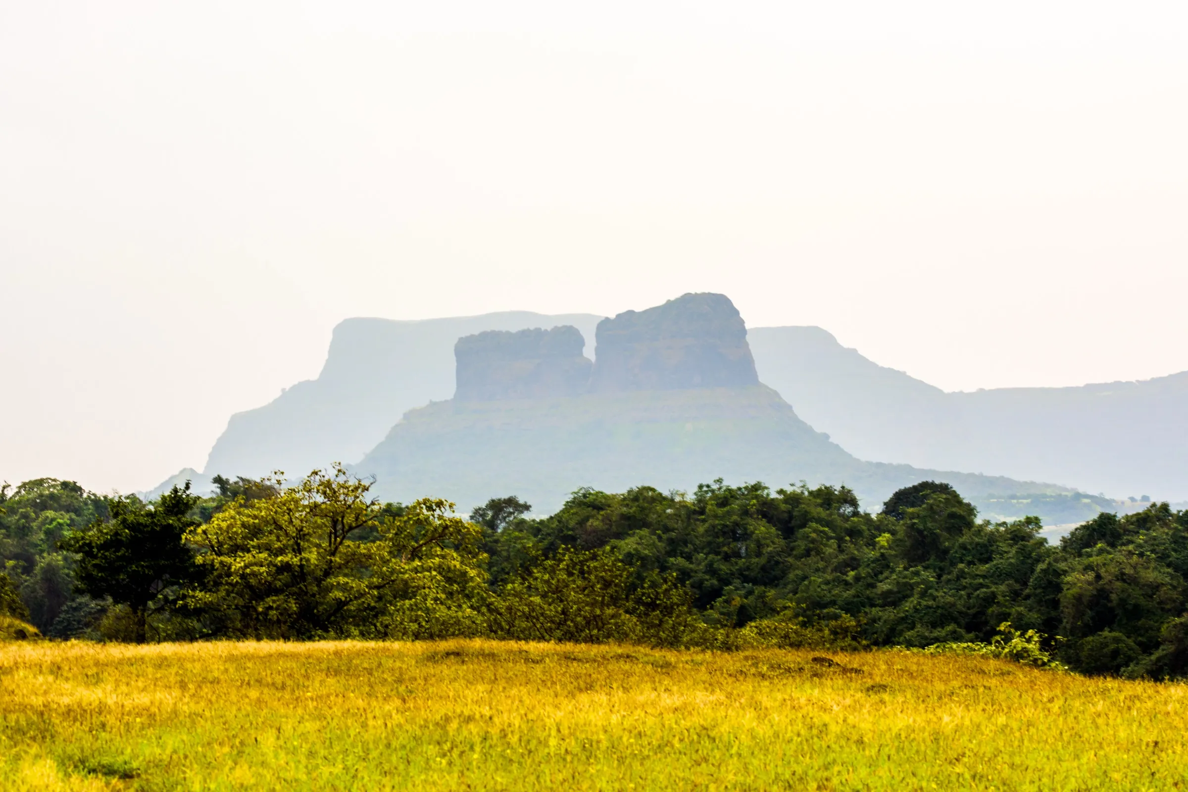
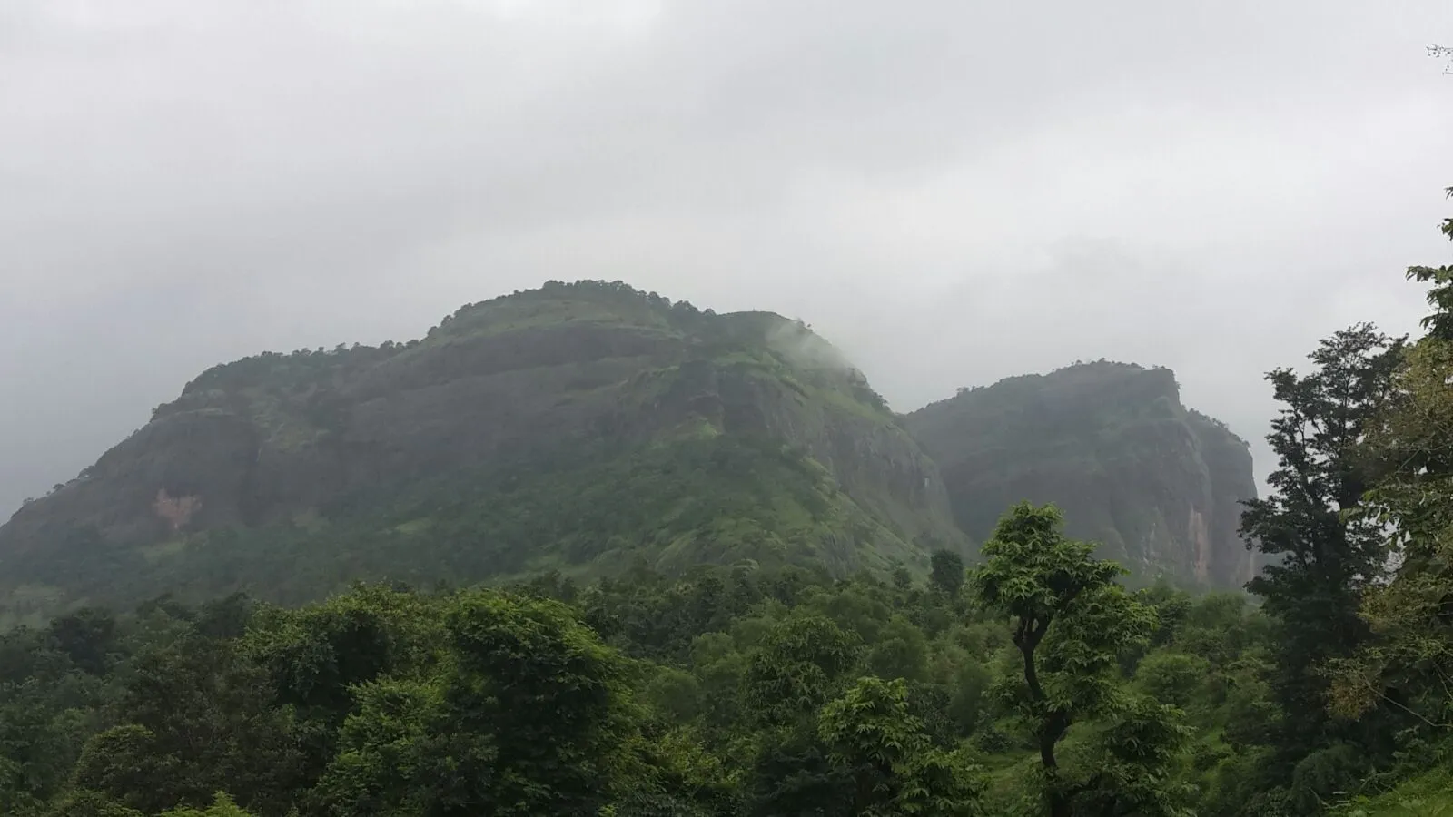
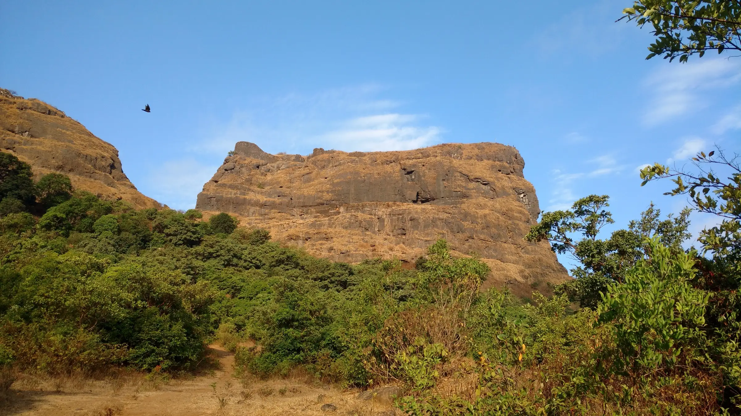
- The block-shaped scarp of Ghangad ('ghana' means solid or cube-like in Marathi), visible from Ekole village
- A walk through a dense evergreen forest patch to the Garjai Devi mandir and the Shivaji Trail information board
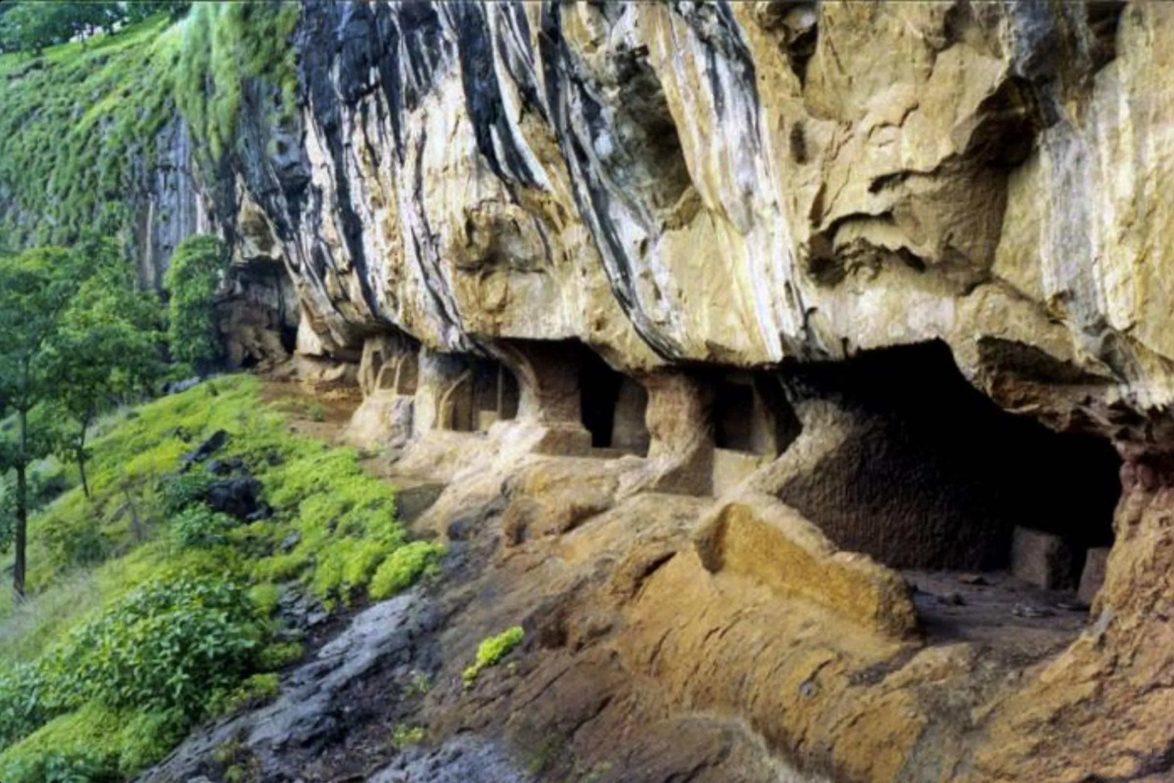
- A 35–40 ft boulder that has slid from the scarp and leans against the fort, forming a cave-like shelter open on two sides
- A steep steel ladder up the rock face, installed during the Shivaji Trail restoration of 2011–12 with the help of Ekole villagers
- A 360-degree view from the top over the Tail Baila walls, Sudhagad, Korigad, Sarasgad and the Mulshi backwaters
- A watch-fort over the old Konkan–Pune trade route, used to hold prisoners and surrendered to the British in March 1818 after the fall of Korigad
Risks
- The steel ladder and the steep rocky stretch above it (fixed wires in places) are exposed; climb one person at a time and do not take photos on the ladder. Turn back at the boulder if it is too slippery (Indiahikes).
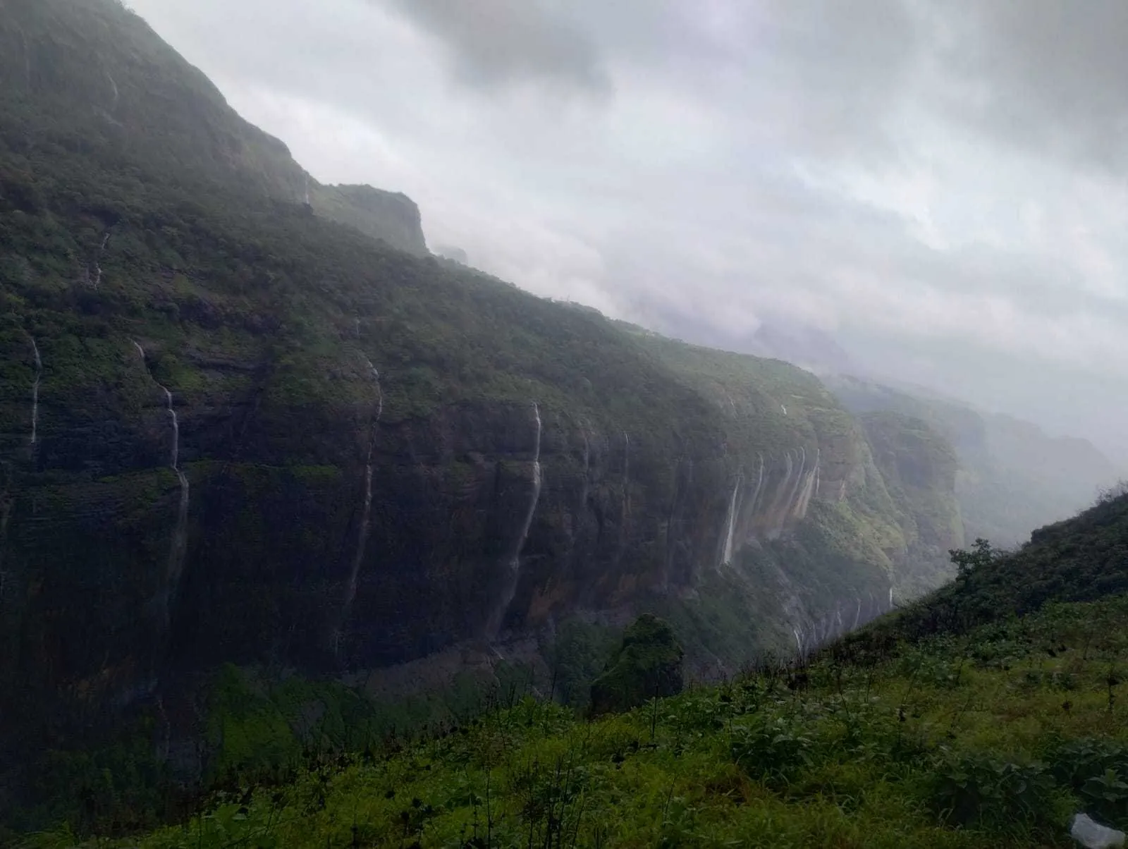
- In the monsoon the ladder, stone steps and forest trail become very slippery; Indiahikes advises avoiding the monsoon, and a trip report describes the path running with water and mud.
- Do not start in the afternoon: descending the ladder and the forest section after dark is tricky (Indiahikes). The last bus from Bhamburde to Lonavala leaves at about 2.30 pm.
- During heavy rain the Pune district administration has issued prohibitory orders for forts, dams and waterfalls in Mulshi and Maval talukas (for example in July 2024, withdrawn on 1 August 2024). Check current orders before a monsoon visit.
- Summer is hot and the top has no trees or shade except the boulder cave; carry plenty of water and start early.
- Cistern water on the fort is not clean to drink (Indiahikes).
Know before you go
Questions
How difficult is the Ghangad Fort trek?
It is a short trek for fit beginners. Indiahikes grades it easy to moderate and Treks and Trails India easy to medium. The only tricky section is the steel ladder up a rock face and the steep rocky stretch just after it, which become slippery in the rain. Shoes with a good grip are a must.
How long does the Ghangad trek take?
About 1 to 1.5 hours up from Ekole and 30 to 40 minutes down (Indiahikes). Treks and Trails India puts the whole trek at about 4 km and 3 hours, with about 1,000 ft of ascent.
What is the height of Ghangad Fort?
English Wikipedia and Treks and Trails India give 3,000 ft (about 914 m). Marathi Wikipedia gives 962 m and Durgbharari 2,790 ft (about 850 m), so treat 900 m or so as approximate.
Is permission needed, and can you camp on Ghangad?
Indiahikes says no permission is needed and that you can camp near the boulder. Wikipedia also mentions flat ground near the entrance and the Garjai Devi mandir for a night stay, and villagers in Ekole arranging stay and food.
What is the best time to trek Ghangad?
Indiahikes says the trek can be done year-round but is best from November to January, after the monsoon; Treks and Trails India says June to March. Avoid peak summer heat and take extra care on the ladder in the monsoon.
How do I reach Ekole, the base of Ghangad?
Drive about 35 km from Lonavala past INS Shivaji, the Aamby Valley road, the Korigad base and Salter Khind to Bhamburde, then 3 km to Ekole. MSRTC buses run from Lonavala to Bhamburde (about 2 km walk to Ekole), or hire a jeep from Lonavala. Lonavala is the nearest railway station and Pune the nearest airport.
In an emergency
Save these numbers before you lose signal. Tap to call.
- 112All emergenciesIndia’s single emergency number — works in every state
- 108Ambulance
- 1077District disaster control room
You are in
District: PuneMaharashtra
- Nearest hospital
- Lonavala, about 35 km by road (Indiahikes); emergency number 112.
- Last ATM
- Lonavala (Indiahikes); carry cash and UPI.
- Phone network
- Indiahikes reports BSNL, Jio and Vodafone coverage in patches on the trek; do not depend on it.
Before you set off
- Tell someone your route and when you will be back.
- Carry a charged phone and a power bank.
- Download an offline map of the route.
- Turn back if the weather turns bad — the mountain will wait.
Questions about Ghangad
No questions yet. Ask something and trekkers who have done it can answer.
Share your trek photo with #TreksAndTrails
I trekked this
Did Ghangad look different from this page? Tell us what changed and we will check it.
Where this comes from
Sources
Last reviewed:
- The Complete Guide to Ghangad Fort Trek — Indiahikes
- Ghangad — Wikipedia
- Ghangad Fort Trek — Treks and Trails India
- Trek to Fort Ghangad — Foliage Outdoors
- Ghangad — Durgbharari
- घनगड — Marathi Wikipedia
- Good News for Punekars: Ban on Tourist Places Lifted from Lonavla to Tamhini in District — Free Press Journal
Photos: Ccmarathe, CC BY-SA 4.0; Ccmarathe, CC BY-SA 4.0; Daniel Romanson, CC BY-SA 4.0