Devkund Waterfall Trek
Raigad, Maharashtra
Opens without signal on this phone, with the map file and checklist. Saved for offline →
- Max altitude
- 210 m
- Days
- 1 day
- Distance
- 12 km
- Difficulty
- Easy
Almost no climbing (about 100 m of gain), but about 12 km return on a jungle and riverbed trail with several stream crossings and a final stretch of rock-hopping over boulders to the pool.
Photos
On the trail
The route
Day by day
Day 1 · highest point
Bhira → Bhira (via Devkund Waterfall)
110 m → 210 m → 110 m
Ups and downs
Altitude profile
Where it is
Map
Trailhead and high point only — not a recorded track. Use it with a proper map.
Weather
Next 5 days on the trail
Live forecast for the trailhead and the high point. Mountain weather changes fast — check again on the morning you start.
Trailhead · Bhira
at 110 mLoading forecast…
High point · Devkund Waterfall plunge pool
at 210 mLoading forecast…
Each day: high / low °C · rain mm and chance · snow cm · wind km/h
Weather data: Open-Meteo.comModel forecast, not an official warning. For alerts follow IMD and the local administration.
Plan the trip
How to reach
- Trailhead
- Bhira (nearest town: Mangaon)
- Nearest railway
- Mangaon (Konkan Railway), about 30 km
- Nearest airport
- Pune International Airport
- By road
- Pune (about 115 km via Paud and Tamhini Ghat, 3.5-4 hours); Mumbai (about 150-180 km via Panvel, Pen and Mangaon on NH 66, 4.5-6 hours)
- Drive
- About 4 h from Pune
Plan the trip
Permits and fees
We could not confirm the current permit rules and fees from an official source. Check with the local forest department or tourism office before you go.
Plan the trip
Cost
Self-guided
₹600–1,500
With an operator
₹899–1,800
Per person, ex-Pune. Guided prices published for 2026: Treks and Trails India ₹899 from Bhira or ₹1,499 with Pune transport; Adventure Club Pune ₹999 self-drive, ₹1,499 from Pune, ₹1,799 from Mumbai; Trekhievers ₹899 from base or ₹1,599 from Mumbai, plus 5% GST. All include forest entry charges and breakfast and lunch. Self-guided is an estimate: fuel or bus to Bhira, a village entry fee (a guide reports ₹100-150), a local guide (₹100-300 per person) and a village meal.
Gear
Top picks for this trek
The gear that matters most on this route, chosen from its altitude, season and risks.
 Ad · affiliate link
 Ad · affiliate link
 Ad · affiliate link
 Ad · affiliate link
 Ad · affiliate link
 Ad · affiliate link
 Ad · affiliate link
- Ad · affiliate link
Store buttons open a search on that store, not a product we picked. As an Amazon Associate we earn from qualifying purchases. Photos show the kind of item, not a specific product. Affiliate disclosure
Packing checklist
Matched to this trek: altitude, season, days and the risks on the route.
Packed 0 of 20
Tick each item as it goes in the bag.
Know before you go
Good to know
- Mobile network
- Signal is available at Bhira but drops sharply inside the forest and gorge section of the trail.
- Last ATM
- Mangaon; carry cash, as village fees and meals at Bhira are cash-only.
- Nearest hospital
- Mangaon for first care; Pune or Mumbai for serious cases.
- Water
- The Kundalika river and side streams run beside the trail; there are no shops on the trail itself. Carry 2 litres and treat any stream water.
Highlights
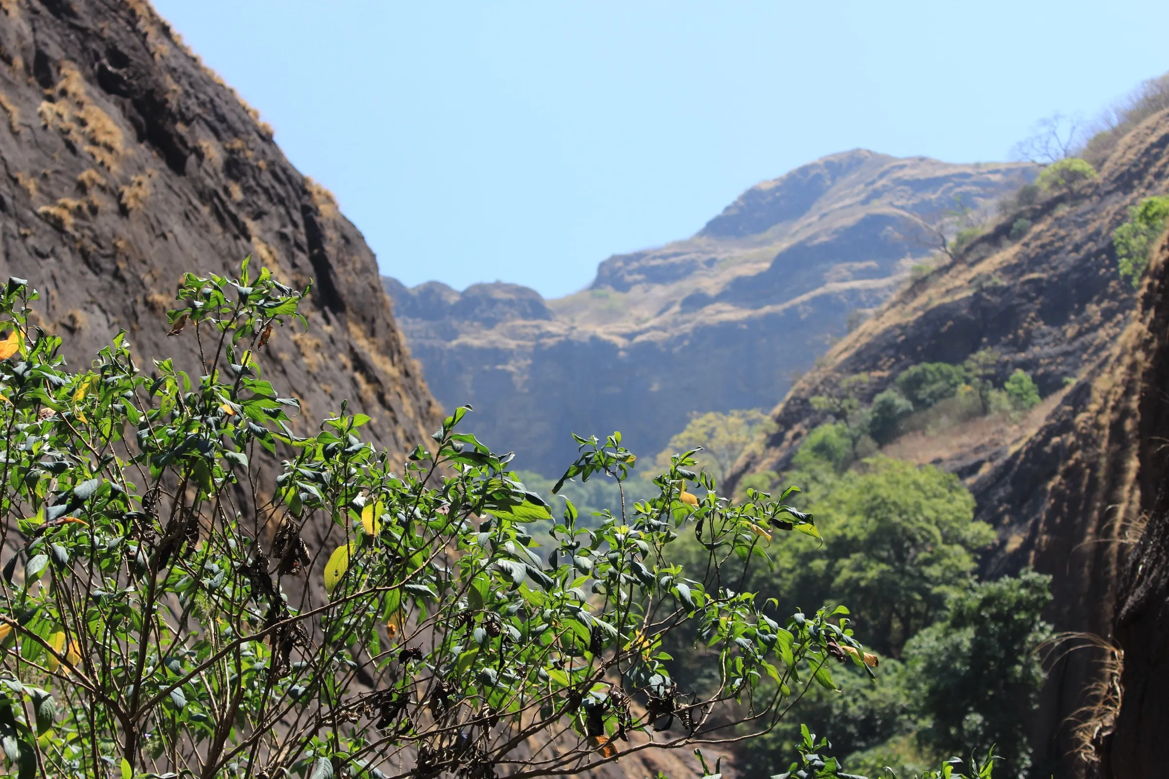
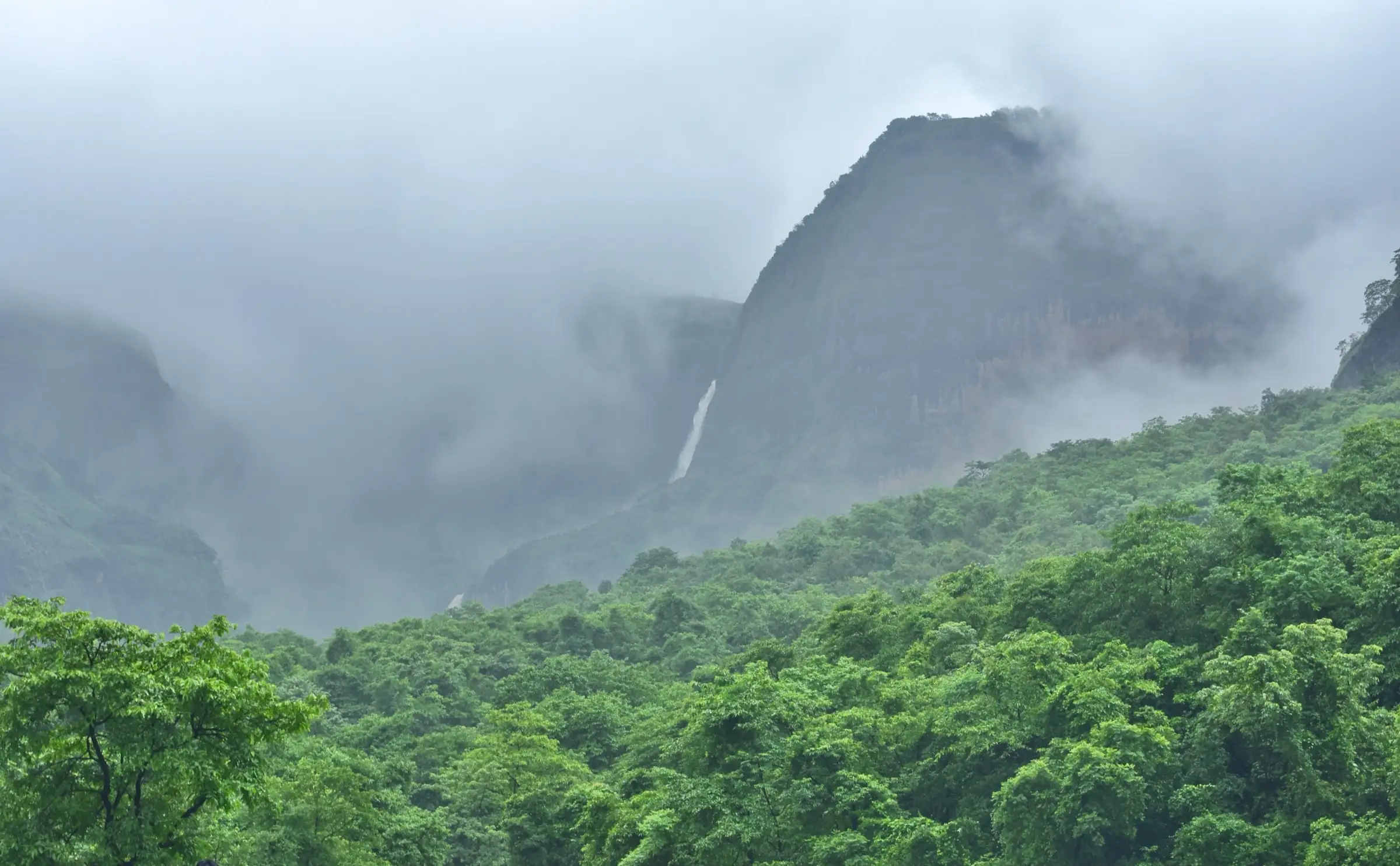
- A single plunge of white water into a deep green pool at the head of a narrow basalt gorge
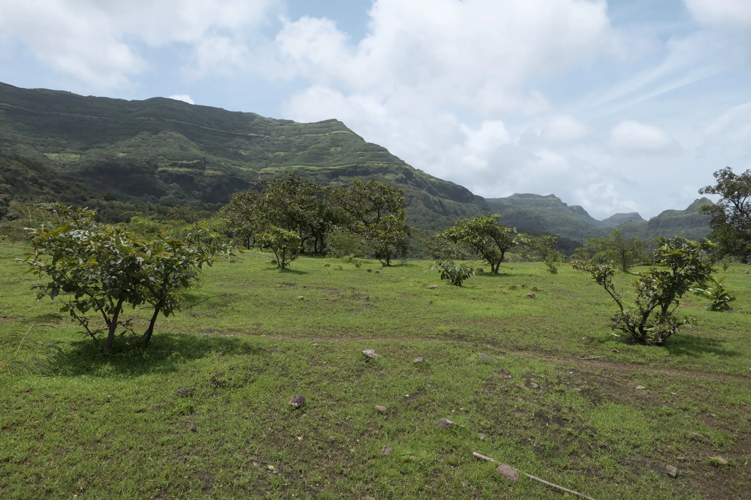
- An easy, almost flat forest walk along the Kundalika river from Bhira
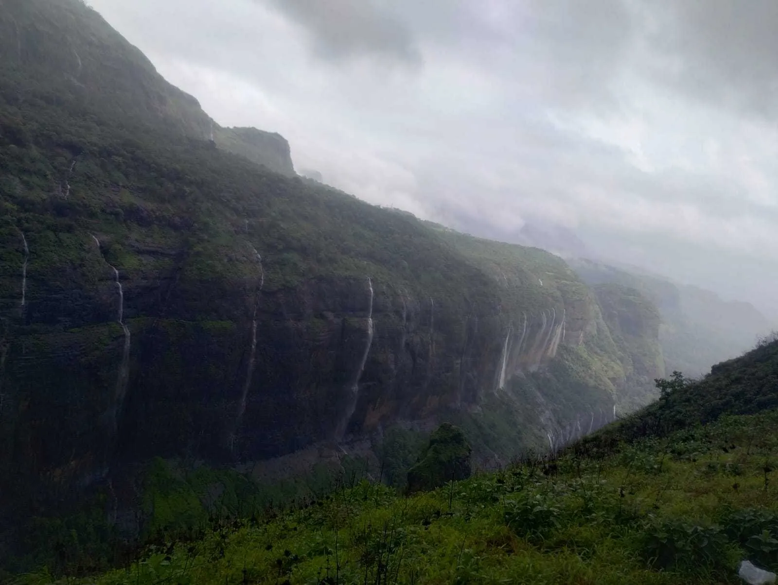
- Views of the cliffs of the Tamhini Ghat escarpment closing in around the trail
- Post-monsoon riverside camping near Patnus village and rappelling offered by some operators
Risks
- Entry is banned by a magistrate's order every monsoon (about mid-June or 1 July to 30 September). People who used other routes to get round the police checkpoint have drowned, including two Chakan workers on 12 July 2026; police have booked operators and influencers who promoted trips during the ban.
- The plunge pool is deep and has drowned several visitors; organised groups do not allow swimming in it.
- Rain can make the streams rise quickly; stream crossings that are ankle-deep in winter can become impassable. Turn back if the water is rising.
- Wet rocks near the pool are slippery, and leeches are common on the trail after rain.
- By March to May the flow is much lower and the walk is hot; start early.
Know before you go
Questions
Is Devkund Waterfall open now?
Devkund is closed every monsoon by an order of the Sub-Divisional Magistrate, Mangaon. In 2026 entry was banned until 30 September, so it reopens from October. Check the current Raigad district notice before you go in June to September.
How long is the Devkund trek?
About 6 km each way from Bhira village (some guides say up to 6.5 km), so about 12-13 km return. It takes about 2 hours each way, and 5-6 hours in total with time at the waterfall.
Is a guide compulsory for Devkund?
A local guide is recommended and often required by the village; guides report fees of about ₹100-300 per person. Organised groups include the guide and forest entry charges.
Can you swim at Devkund?
It is not safe. The pool is deep, several people have drowned there, and organised groups do not allow swimming in the waterfall pool. At most, stay in the shallow edges.
When is the best time to visit Devkund?
October to February, when the falls still flow well after the monsoon and the trail is dry. The monsoon months are closed by order, and from March the flow falls and the walk gets hot.
In an emergency
Save these numbers before you lose signal. Tap to call.
- 112All emergenciesIndia’s single emergency number — works in every state
- 108Ambulance
- 1077District disaster control room
You are in
District: RaigadMaharashtra
- Nearest hospital
- Mangaon for first care; Pune or Mumbai for serious cases.
- Last ATM
- Mangaon; carry cash, as village fees and meals at Bhira are cash-only.
- Phone network
- Signal is available at Bhira but drops sharply inside the forest and gorge section of the trail.
Before you set off
- Tell someone your route and when you will be back.
- Carry a charged phone and a power bank.
- Download an offline map of the route.
- Turn back if the weather turns bad — the mountain will wait.
Questions about Devkund Waterfall
No questions yet. Ask something and trekkers who have done it can answer.
Share your trek photo with #TreksAndTrails
I trekked this
Did Devkund Waterfall look different from this page? Tell us what changed and we will check it.
Where this comes from
Sources
Last reviewed:
- Devkund Waterfall Trek from Pune 2026 — Treks and Trails India
- Devkund Waterfall Trek from Mumbai — Trekhievers
- Devkund Waterfall Trek From Mumbai — Adventure Club Pune
- Devkund Waterfall Trek — Explurger
- Mangaon Police Book Seven Tour Operators And Instagram Influencers For Promoting Illegal Trips To Devkund Waterfall — Free Press Journal
- Devkund Waterfall — Wikipedia
- SRTM 30 m elevation at the end of the OpenStreetMap 'Devkund trail' (way 867015699) — OpenTopoData (NASA SRTM 30 m)
Photos: Abhinav Varshney, CC BY-SA 4.0; Kautuk1, CC BY-SA 4.0; Abhishekkshinde, CC BY-SA 4.0