Milkybar Waterfall Trek
Raigad, Maharashtra
Opens without signal on this phone, with the map file and checklist. Saved for offline →
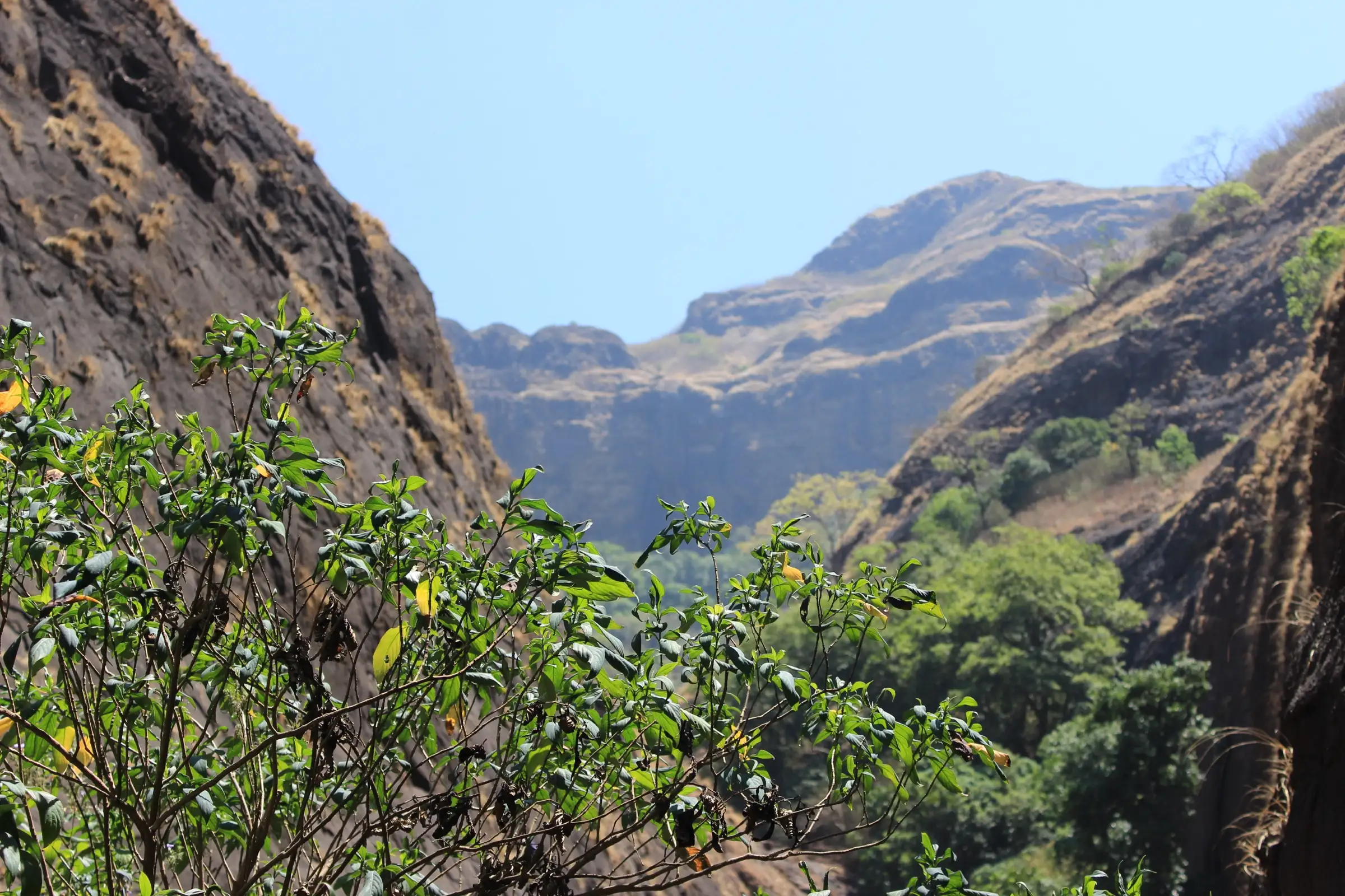
- Max altitude
- 494 m
- Days
- 1 day
- Distance
- 9 km
- Difficulty
- Moderate
Best months Oct
- Jan
- Feb
- Mar
- Apr
- May
- Jun
- JulClosed
- AugClosed
- SepClosed
- OctBest
- Nov
- Dec
A forest trail of about 4.5 km each way with several stream crossings and slippery rock near the falls; one operator rates it easy, the other moderate. The walk climbs to the waterfall and comes back down the same way.
Photos
On the trail
The route
Day by day
Day 1 · highest point
Bhira (Patnus side base village) → Bhira (via Milkybar Waterfall)
120 m → 494 m → 120 m
Ups and downs
Altitude profile
Where it is
Map
Trailhead and high point only — not a recorded track. Use it with a proper map.
Weather
Next 5 days on the trail
Live forecast for the trailhead and the high point. Mountain weather changes fast — check again on the morning you start.
Trailhead · Bhira (Patnus side base village)
at 120 mLoading forecast…
High point · Milkybar Waterfall, below Dongarwadi in the Plus Valley belt
at 494 mLoading forecast…
Each day: high / low °C · rain mm and chance · snow cm · wind km/h
Weather data: Open-Meteo.comModel forecast, not an official warning. For alerts follow IMD and the local administration.
Plan the trip
How to reach
- Trailhead
- Bhira (Patnus side base village) (nearest town: Kolad)
- Nearest railway
- Kolad (Konkan Railway), about 30 km by road; Pune Junction about 100 km
- Nearest airport
- Pune International Airport
- By road
- Mumbai (about 150 km via Panvel, Kolad and Patnus to Bhira); Pune (via Paud and the Tamhini Ghat road when it is open; otherwise via the expressway and Kolad)
- Drive
- About 4 h from Mumbai
Plan the trip
Permits and fees
We could not confirm the current permit rules and fees from an official source. Check with the local forest department or tourism office before you go.
Plan the trip
Cost
Self-guided
₹300–900
With an operator
₹1,300–1,800
Per person, ex-Mumbai. Only one current Milkybar price was found: Treks and Trails India lists ₹1,599-1,600 with a non-AC bus from Mumbai, breakfast, lunch and a trek leader. Mischief Treks runs the trek but shows no price or scheduled batch. Self-guided is an estimate: a shared ride or fuel to Bhira, a local guide (strongly advised, as the route is not signed), a village meal and any local entry charge.
Gear
Top picks for this trek
The gear that matters most on this route, chosen from its altitude, season and risks.
 Ad · affiliate link
 Ad · affiliate link
 Ad · affiliate link
 Ad · affiliate link
 Ad · affiliate link
 Ad · affiliate link
 Ad · affiliate link
- Ad · affiliate link
Store buttons open a search on that store, not a product we picked. As an Amazon Associate we earn from qualifying purchases. Photos show the kind of item, not a specific product. Affiliate disclosure
Packing checklist
Matched to this trek: altitude, season, days and the risks on the route.
Packed 0 of 19
Tick each item as it goes in the bag.
Know before you go
Good to know
- Mobile network
- Patchy around Bhira and Patnus; expect little or no signal in the forest and the valley.
- Last ATM
- Kolad or Mangaon on the Raigad side; carry cash.
- Nearest hospital
- Mangaon for first care; Pune or Panvel/Mumbai for serious cases.
- Water
- Streams cross the trail after the monsoon, but they may dry up later in the season. Carry 2-3 litres and treat any stream water.
Highlights
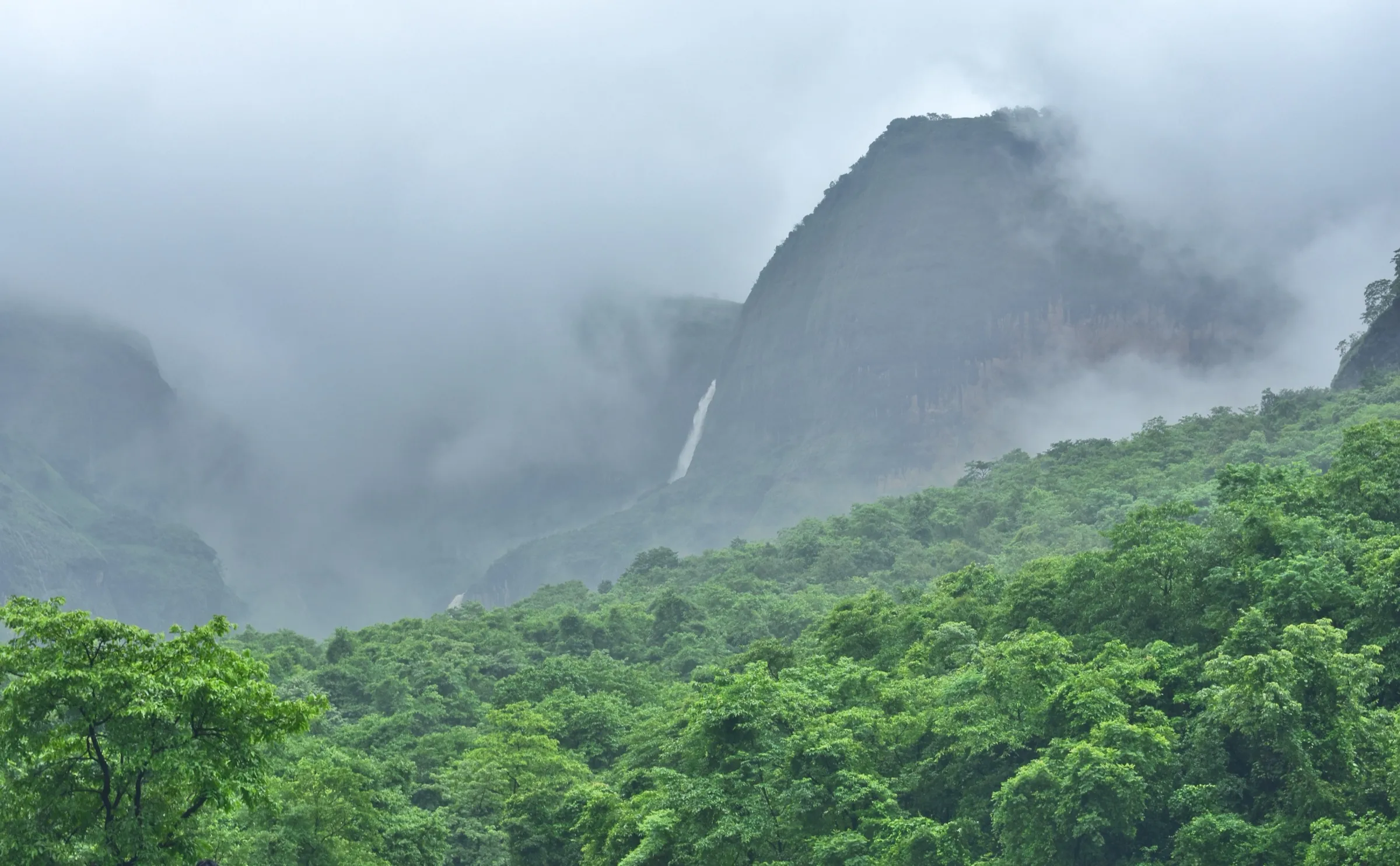
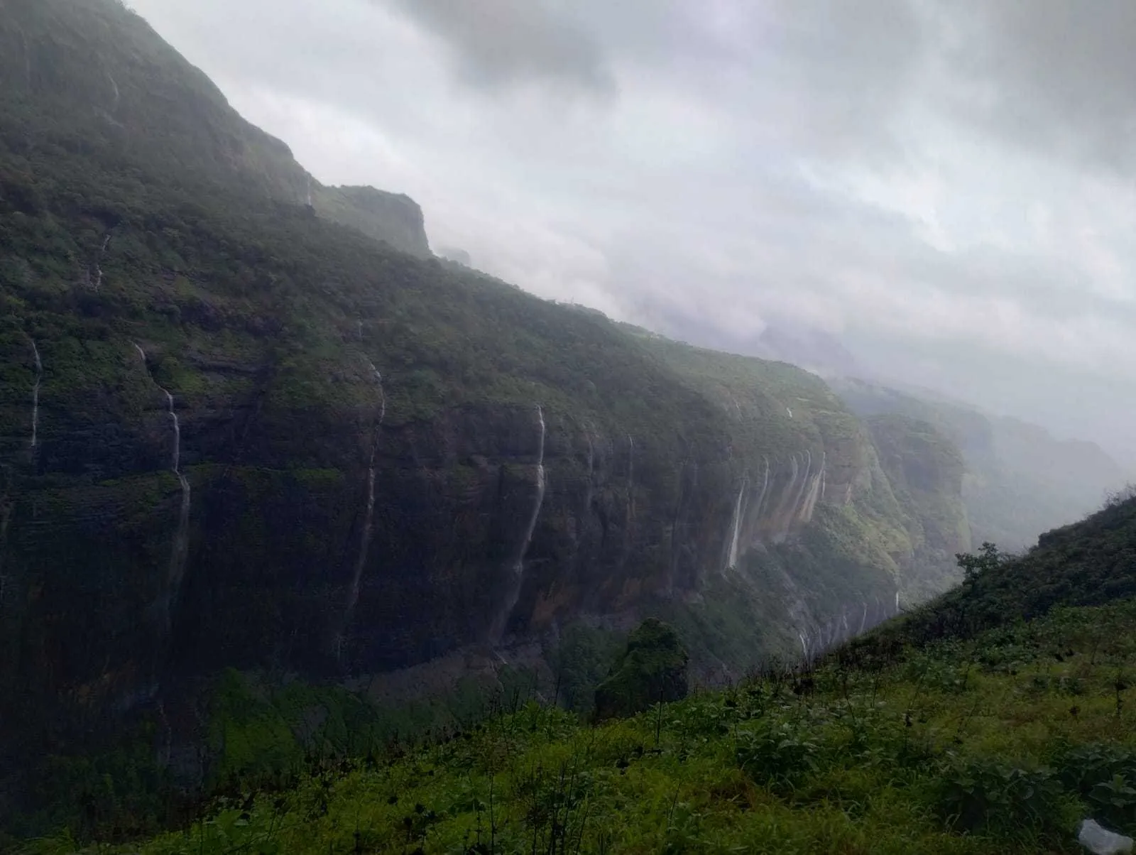
- A frothy white cascade that gets its name from the milky rush of water over the rock
- A quieter forest trail in the Plus Valley belt below Tamhini Ghat, near the busier Devkund Waterfall
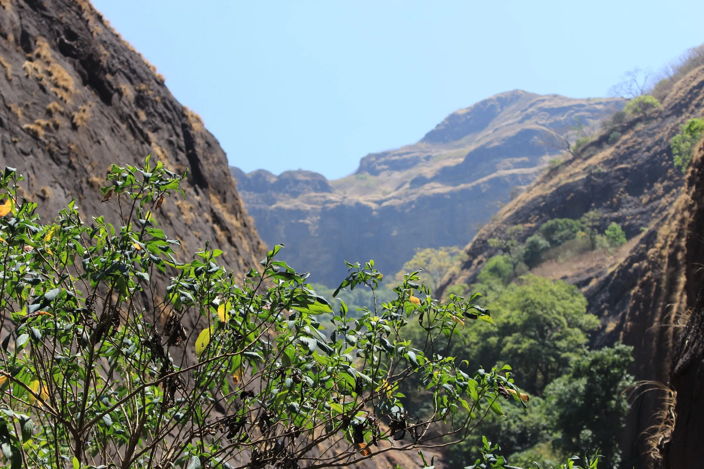
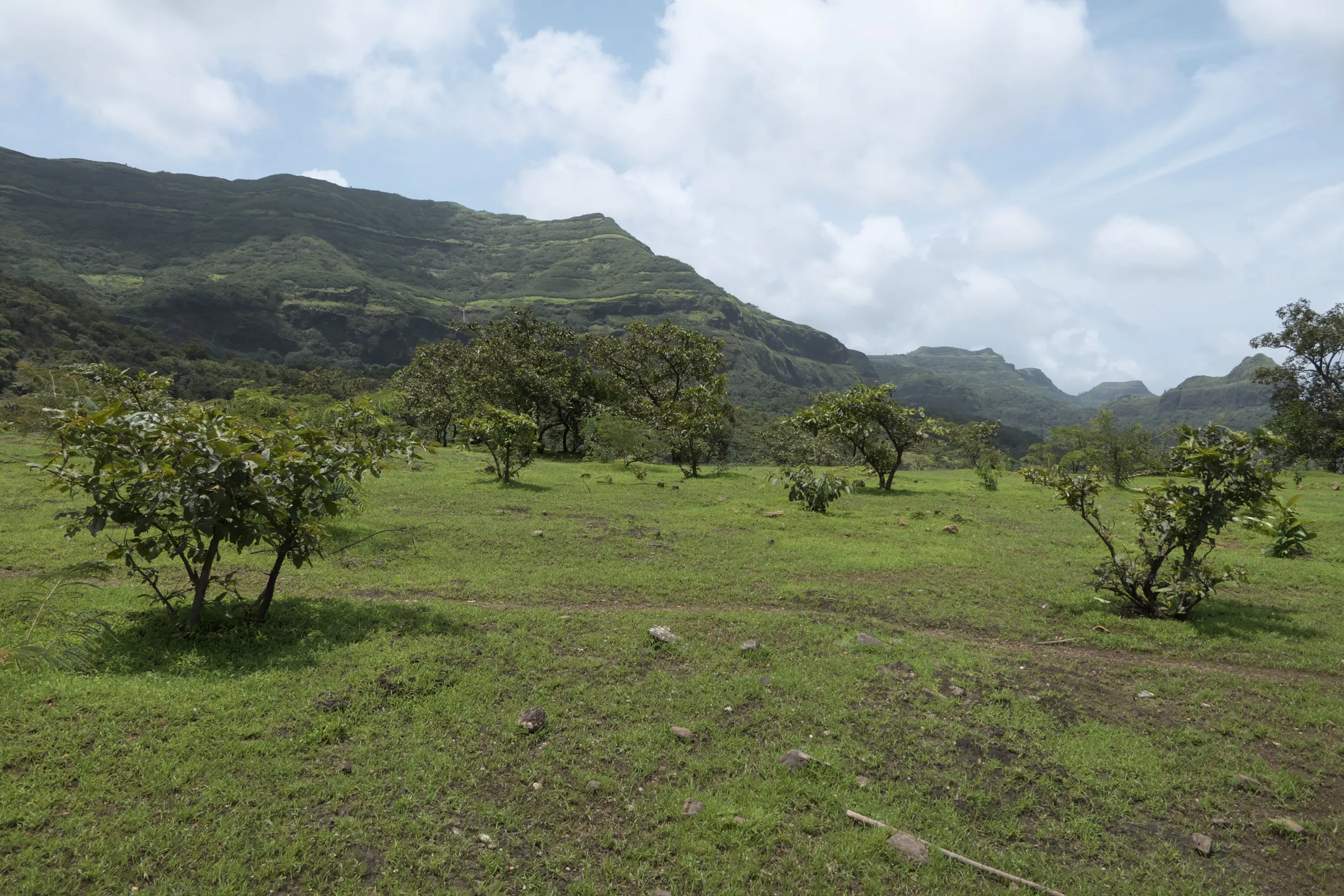
- Several stream crossings through dense, misty forest
- Can be paired with Plus Valley or Devkund on another visit to the Tamhini belt
Risks
- Formally closed in the monsoon, which is when the fall is fullest: Plus Valley trails, Tamhini Ghat and Tamhini Sanctuary routes have been closed by Forest Department and district orders from mid or late June to 30 September in 2024, 2025 and 2026. The Forest Department warns of action under the Wildlife Protection Act for illegal entry. Operators still advertise it as a June-September trek; do not go while an order is in force.
- The Forest Department's 2024 closure followed accidents in Plus Valley and named Milky Bar as a spot where unpredictable water flow and slippery paths are dangerous. Do not swim or stand under the fall unless your leader says the pool is safe.
- Stream crossings can rise quickly after rain and become impassable. Turn back if the water is rising.
- The fall is rain-fed and fades after the monsoon; by November it may be a trickle or dry.
- The Tamhini Ghat road (NH 753F, Paud-Mangaon) was shut to all traffic from 5 July 2026 after the stretch between Dongarwadi and Nive was washed away; on 1 August 2026 the Pune administration said no reopening order had been issued. Check the road before driving from Pune. The Mumbai approach via Kolad and Patnus does not use that stretch.
- Leeches are common in the wet season, and the forest floor and rock slabs stay slippery well into October.
Know before you go
Questions
Where is Milkybar Waterfall?
It is in the Plus Valley belt of Tamhini Ghat, near Devkund Waterfall, on the Patnus (Raigad) side. Mischief Treks puts its pin a short way below Dongarwadi village on the Tamhini Ghat road; groups walk to it from a base village below.
How long is the Milkybar Waterfall trek?
Treks and Trails India gives about 4.5 km one way, with several stream crossings, and about two hours each way. Mischief Treks schedules about two and a quarter hours to the fall and under an hour and a half back.
Can I visit Milkybar Waterfall in the monsoon?
Not while the monsoon orders are in force. Plus Valley trails were closed from 28 June to 30 September 2024, Tamhini Ghat from 17 June to 30 September 2025, and Tamhini Sanctuary routes from 1 July to 30 September 2026. October, just after the ban lifts, is the best legal window while the fall still has water.
Does Milkybar Waterfall flow all year?
No. Mischief Treks says it is a rain-fed fall, active only in the monsoon, and it fades away after the season.
Is Milkybar Waterfall trek easy for beginners?
Mischief Treks calls it easy and suitable for average fitness; Treks and Trails India rates it moderate because of the stream crossings and slippery ground. Go with a guide or an organised group, as the trail is not signed.
In an emergency
Save these numbers before you lose signal. Tap to call.
- 112All emergenciesIndia’s single emergency number — works in every state
- 108Ambulance
- 1077District disaster control room
You are in
District: RaigadMaharashtra
- Nearest hospital
- Mangaon for first care; Pune or Panvel/Mumbai for serious cases.
- Last ATM
- Kolad or Mangaon on the Raigad side; carry cash.
- Phone network
- Patchy around Bhira and Patnus; expect little or no signal in the forest and the valley.
Before you set off
- Tell someone your route and when you will be back.
- Carry a charged phone and a power bank.
- Download an offline map of the route.
- Turn back if the weather turns bad — the mountain will wait.
Questions about Milkybar Waterfall
No questions yet. Ask something and trekkers who have done it can answer.
Share your trek photo with #TreksAndTrails
I trekked this
Did Milkybar Waterfall look different from this page? Tell us what changed and we will check it.
Where this comes from
Sources
Last reviewed:
- Milkybar Waterfall Trek — Tamhini Ghat — Treks and Trails India
- Milkybar Waterfall and Plus Valley Trek — Mischief Treks
- Tourist Ban Imposed by Forest Department in Tamhini Wildlife Sanctuary Following Monsoon Accident Spike — Pune Pulse
- Pune: Bans and Closures Of Tourists Places Leaves Travellers Disappointed — Pune Pulse
- Devkund Waterfall, Tamhini Ghat, and Secret Point Closed for Tourists Until September 30 Amid Monsoon Safety Concerns — Pune Pulse
- Monsoon Trekking Rules 2026 — StayVista
- Pune News: 25-Day Closure of Tamhini Ghat Road Brings Mulshi Tourism to a Standstill — Punekar News
- No Order Yet to Reopen Tamhini Ghat, Pune Administration Clarifies; Urges Public to Ignore Social Media Rumours — Punekar News
- SRTM 30 m elevation at Mischief Treks' Milkybar Waterfall pin and at Bhira — OpenTopoData (NASA SRTM 30 m)
Photos: Sunidhirajput, CC BY-SA 4.0; Tanay Kibe, CC BY-SA 2.0