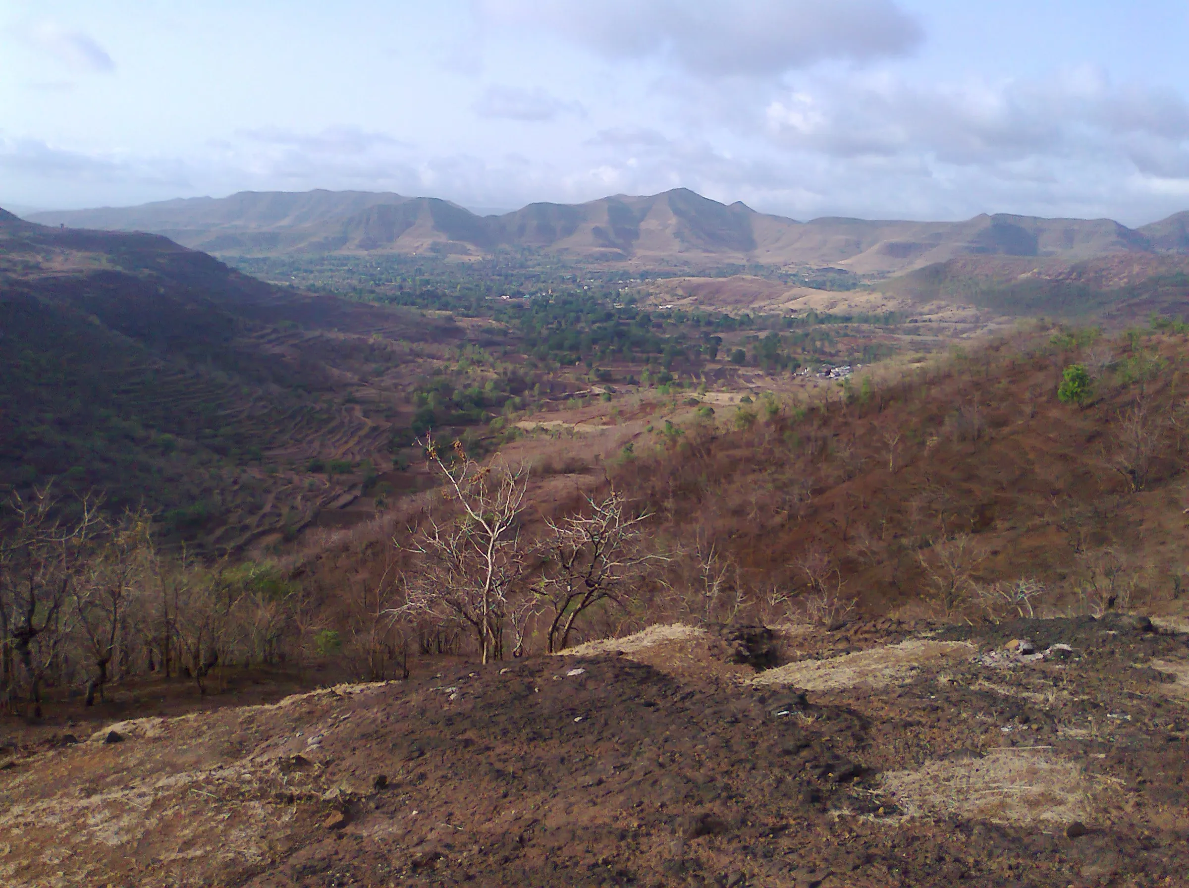
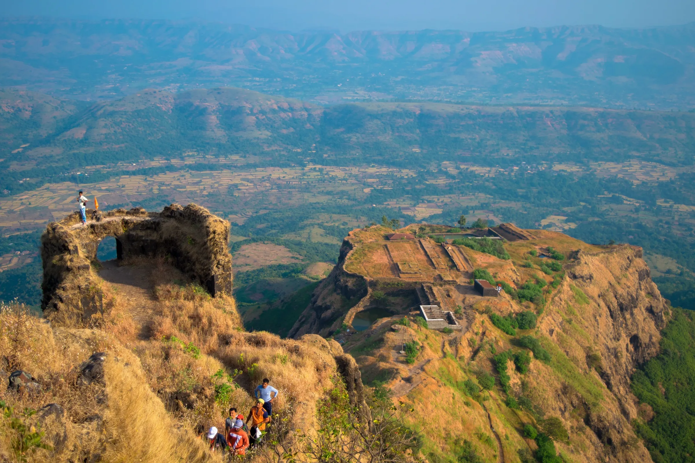
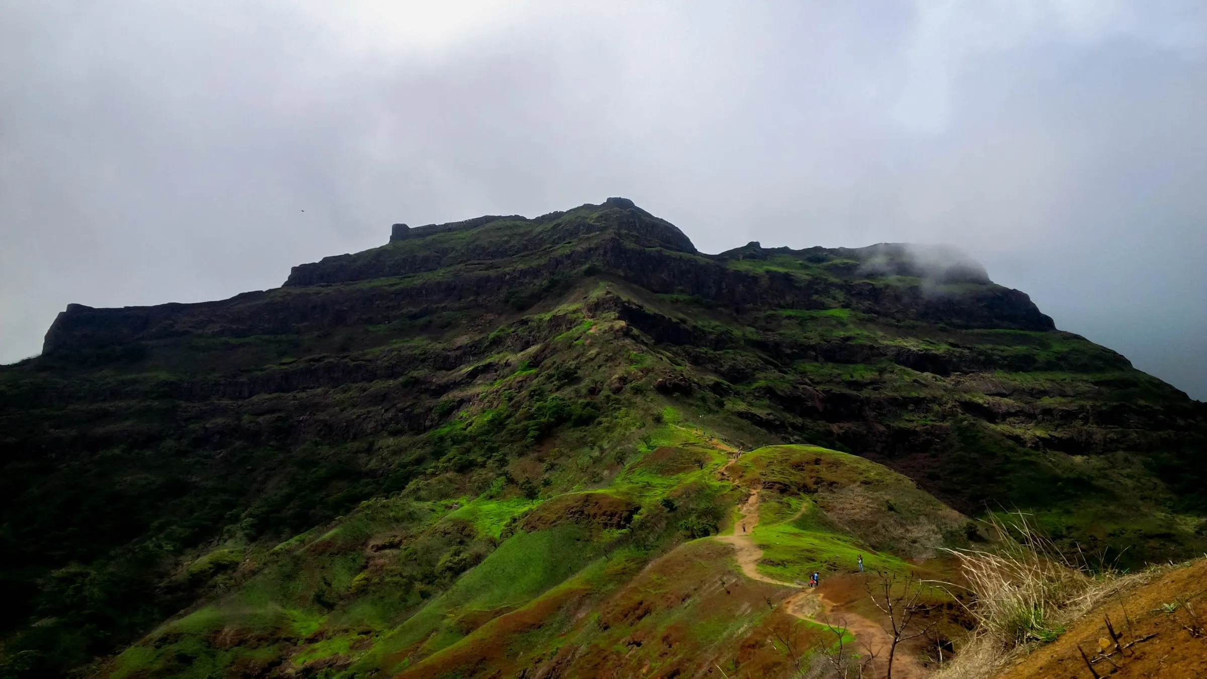
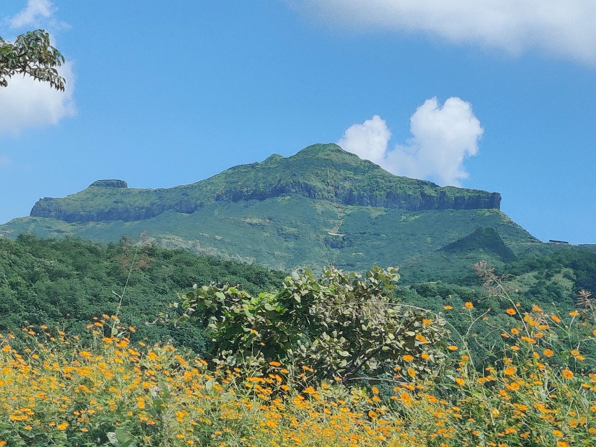
Sinhagad Fort Trek
Pune, Maharashtra
Opens without signal on this phone, with the map file and checklist. Saved for offline →
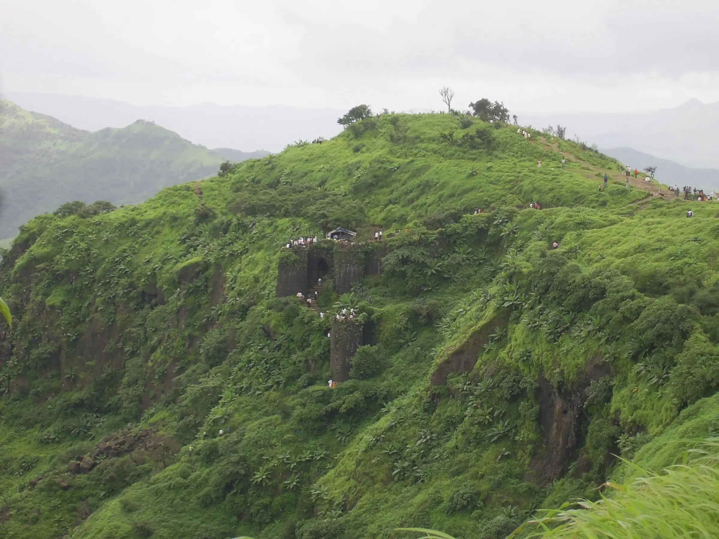
- Max altitude
- 1,312 m
- Days
- 1 day
- Distance
- 5.5 km
- Difficulty
- Easy
A short, well-trodden stone and dirt trail of about 2.5-2.7 km each way from Atkarwadi to the Pune Darwaja, but it climbs roughly 500-600 m without a break. Indiahikes grades it easy-moderate and says the steady climb is tiring for people who do not exercise; durgbharari.in rates it easy.
Photos
On the trail
The route
Day by day
Day 1 · highest point
Atkarwadi → Atkarwadi (via Pune Darwaja and the fort top)
710 m → 1,312 m → 710 m
Ups and downs
Altitude profile
Where it is
Map
Trailhead and high point only — not a recorded track. Use it with a proper map.
Weather
Next 5 days on the trail
Live forecast for the trailhead and the high point. Mountain weather changes fast — check again on the morning you start.
Trailhead · Atkarwadi (Atekar Vasti), near Donje
at 710 mLoading forecast…
High point · Sinhagad Fort top
at 1,312 mLoading forecast…
Each day: high / low °C · rain mm and chance · snow cm · wind km/h
Weather data: Open-Meteo.comModel forecast, not an official warning. For alerts follow IMD and the local administration.
Plan the trip
How to reach
- Trailhead
- Atkarwadi (Atekar Vasti), near Donje (nearest town: Pune)
- Nearest railway
- Pune Junction
- Nearest airport
- Pune Airport (Lohegaon)
- By road
- Pune (about 27-35 km via Khadakwasla and Donje; PMPML bus 50 from Swargate runs to Atkarwadi about every hour); Mumbai (via Pune; about 4 hours by road)
- Drive
- About 1 h from Pune
Plan the trip
Permits and fees
We could not confirm the current permit rules and fees from an official source. Check with the local forest department or tourism office before you go.
Plan the trip
Cost
Self-guided
₹200–600
With an operator
₹699–800
Per person, ex-Pune. Self-guided is an estimate: PMPML bus fare from Swargate to Atkarwadi and back, plus snacks, lemon juice and a pithla-bhakri meal at the stalls on the fort. No operator we found sells the Atkarwadi day hike as a guided trip; the guided range is the published price of the Katraj-to-Sinhagad (K2S) night ridge trek that ends on the fort: Treks and Trails India (treksandtrails.org) lists ₹799 (₹699 in its FAQ). Parking is charged at the foothill if you drive.
Gear
Top picks for this trek
The gear that matters most on this route, chosen from its altitude, season and risks.
 Ad · affiliate link
 Ad · affiliate link
 Ad · affiliate link
 Ad · affiliate link
 Ad · affiliate link
 Ad · affiliate link
- Ad · affiliate link
 Ad · affiliate link
Store buttons open a search on that store, not a product we picked. As an Amazon Associate we earn from qualifying purchases. Photos show the kind of item, not a specific product. Affiliate disclosure
Packing checklist
Matched to this trek: altitude, season, days and the risks on the route.
Packed 0 of 16
Tick each item as it goes in the bag.
Know before you go
Good to know
- Mobile network
- Indiahikes reports signal for Airtel, Vodafone and Jio along the whole trail.
- Last ATM
- Donje / Khadakwasla area on Sinhagad Road (Pune suburbs), about 8-12 km before the base
- Nearest hospital
- Hospitals on Sinhagad Road in Pune, about 20 km from Atkarwadi
- Water
- Small huts selling food and lemon juice at intervals on the trail and on the fort (Indiahikes). Dev Tank on the fort is the main drinking-water source; many other cisterns are stagnant. Carry at least 2 litres.
Highlights
- Site of the 1670 Battle of Sinhagad, where Tanaji Malusare retook the fort for Chhatrapati Shivaji Maharaj and fell in the fight; his memorial stands on the fort
- Memorial (samadhi) of Chhatrapati Rajaram Maharaj, and Lokmanya Tilak's bungalow
- Kondhaneshwar Mahadev temple and the Kali temple with a Hanuman murti beside it
- Two historic gates: the north-east facing Pune Darwaja reached by the Atkarwadi trail, and the south-east facing Kalyan Darwaja
- Views over Khadakwasla, Pune city and the Torna-Rajgad hills; pithla-bhakri and dahi at the stalls on top
Risks
- Steady, steep climb of about 500-600 m on rock steps and loose stones; the descent is hard on knees, especially in the wet.
- Monsoon (June-September): mud, slippery rock, fog, falling stones and landslides. The Pune Forest Division closes the fort on IMD red-alert days - for example 30 May 2025 (all trails including Atkarwadi and Kalyan Darwaja), 3 July 2026 after a landslide near the entrance, 6-7 July 2026 and 1-2 August 2026. Check the latest Forest Department notice before a monsoon visit.
- Very heavy weekend crowds. Since August 2026 the Forest Department may stop entry once the fort reaches its safe capacity, and plans visitor registration; go early on a weekday.
- Little shade on the trail; from March to May start before 7 am and carry water and electrolytes.
- Keep to the marked trail and away from cliff edges and the fort walls, especially in fog.
Know before you go
Questions
How long is the Sinhagad trek?
The walking trail from the base is about 2.5-2.7 km one way and gains roughly 500-600 m. Most people take 1.5-2 hours to climb and spend 2-3 hours on the fort, so plan half a day from the base.
Is Sinhagad a good first trek for beginners?
Yes. Indiahikes says an active person can make Sinhagad their first Sahyadri trek. The trail is clear and busy, so a guide is not needed, but the climb is continuous.
How do I reach the Sinhagad trek base by public transport?
Take PMPML bus 50 from Swargate towards Sinhagad; it runs about hourly to Atkarwadi (get down at Donje Phata if the bus does not go further). From Atkarwadi the climb to the fort takes about two hours.
Do I need a permit or ticket for Sinhagad?
Indiahikes says no permission is needed to trek to Sinhagad, and we found no official entry fee. Parking is charged if you drive. From August 2026 the Forest Department regulates entry by crowd size, so check for new registration rules.
Is Sinhagad open in the monsoon?
Usually yes, and it is very popular then, but the Pune Forest Division closes the fort on red-alert and landslide days. Check the latest notice before you go between June and September.
In an emergency
Save these numbers before you lose signal. Tap to call.
- 112All emergenciesIndia’s single emergency number — works in every state
- 108Ambulance
- 1077District disaster control room
You are in
District: PuneMaharashtra
- Nearest hospital
- Hospitals on Sinhagad Road in Pune, about 20 km from Atkarwadi
- Last ATM
- Donje / Khadakwasla area on Sinhagad Road (Pune suburbs), about 8-12 km before the base
- Phone network
- Indiahikes reports signal for Airtel, Vodafone and Jio along the whole trail.
Before you set off
- Tell someone your route and when you will be back.
- Carry a charged phone and a power bank.
- Download an offline map of the route.
- Turn back if the weather turns bad — the mountain will wait.
Questions about Sinhagad Fort
No questions yet. Ask something and trekkers who have done it can answer.
Share your trek photo with #TreksAndTrails
I trekked this
Did Sinhagad Fort look different from this page? Tell us what changed and we will check it.
Where this comes from
Sources
Last reviewed:
- Sinhagad Fort Trek — Indiahikes
- Sinhagad — Wikipedia
- Sinhagad — Durg Bharari (durgbharari.in)
- Sinhagad Trek Guide — TrekGo
- Katraj to Sinhagad Trek — Treks and Trails India (treksandtrails.org)
- Pune: Sinhagad Fort Closed On May 30 As Forest Dept Continues Encroachment Removal — Pune Pulse
- Pune: Sinhagad Fort Closed to Tourists on August 1 and 2 Amid Red Alert and Landslide Risk — Punekar News
- Sinhagad Fort Entry Rules Change: Pune Forest Department Announces Crowd Control Plan — Punekar News
Photos: SasmitV, CC BY 3.0; Suraj Digrase, CC0; Suraj Digrase, CC0; Suraj Digrase, CC0