Purandar Fort Trek
Pune, Maharashtra
Opens without signal on this phone, with the map file and checklist. Saved for offline →
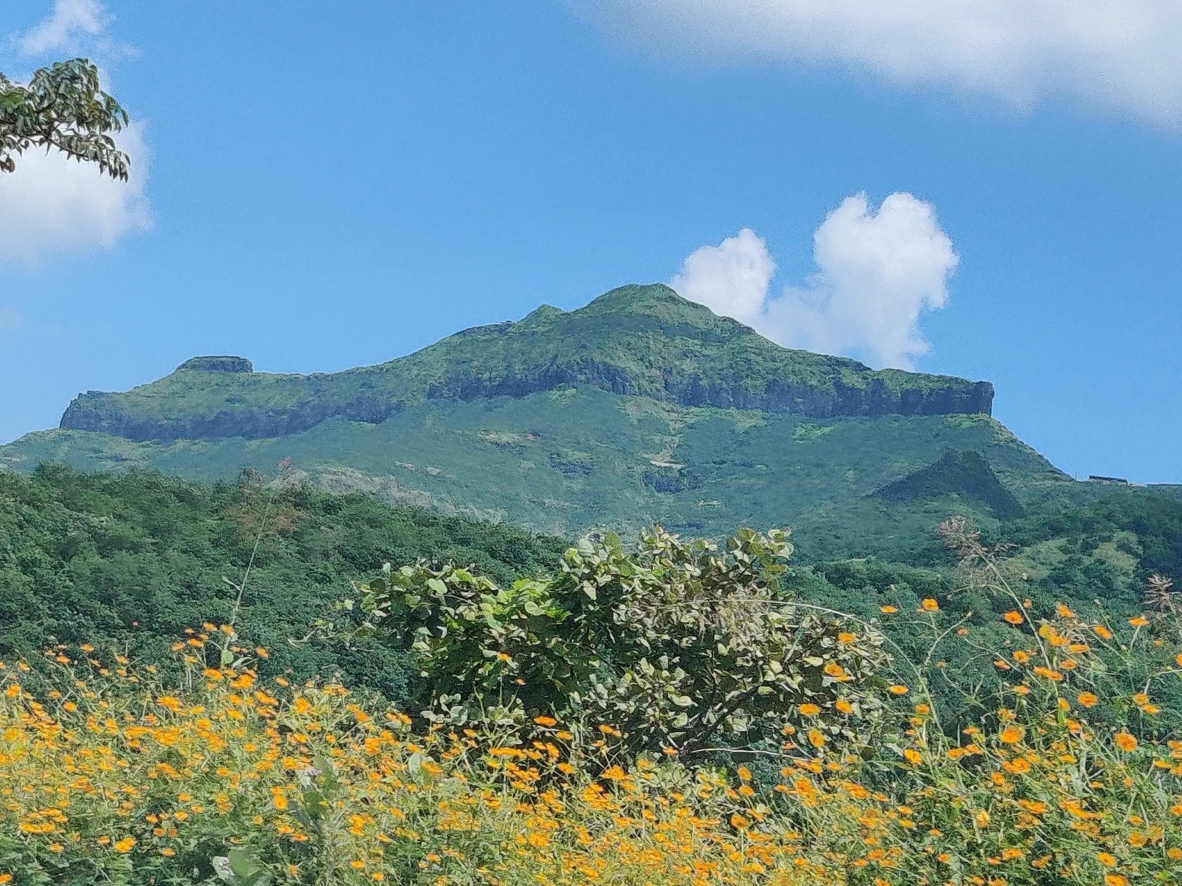
- Max altitude
- 1,374 m
- Days
- 1 day
- Distance
- 13 km
- Difficulty
- Easy
Durgbharari and Treks and Trails India grade it easy and Maharashtra Tourism calls it moderate. There is no exposed rock, but the old footpath to the gate is fenced off, so walkers from Narayanpur now follow the tar road for most of the 6-7 km and about 500 m climb, then rock-cut steps to the Balekilla.
Photos
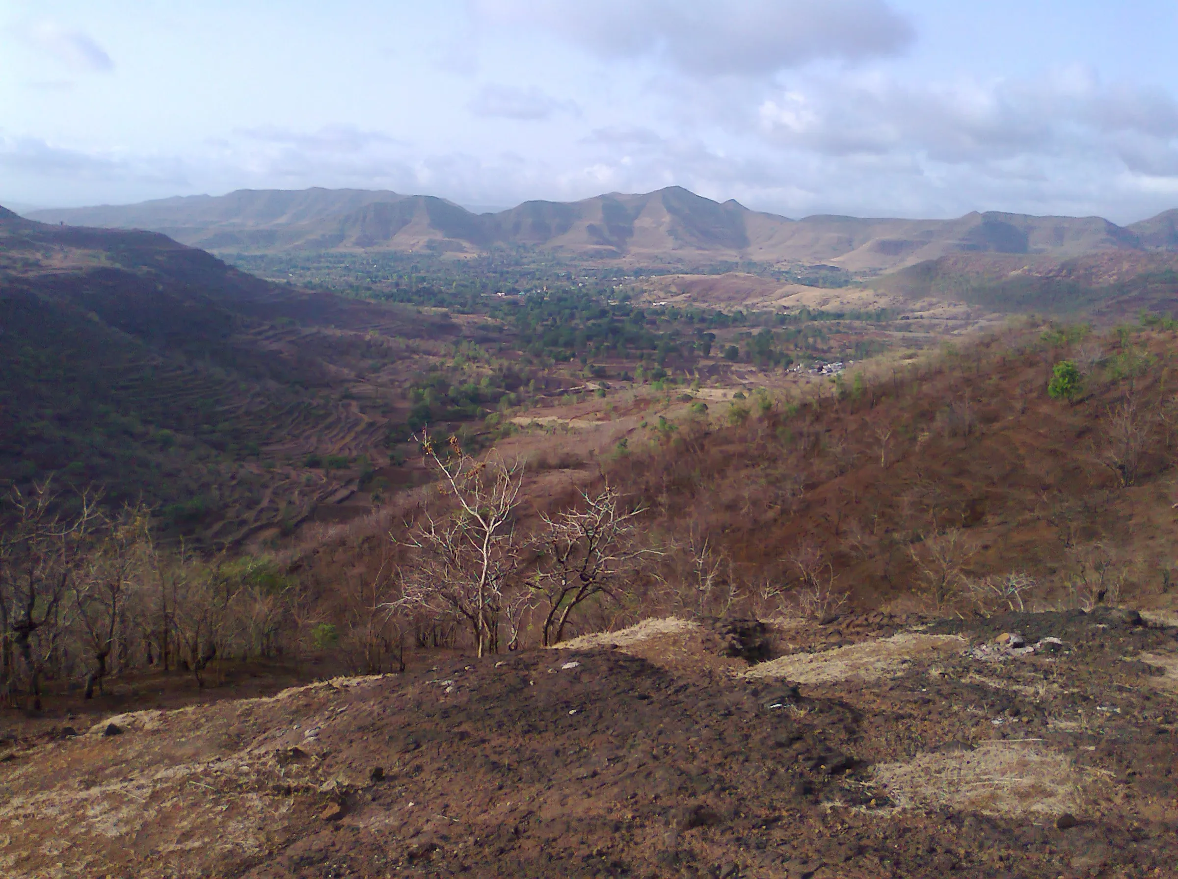
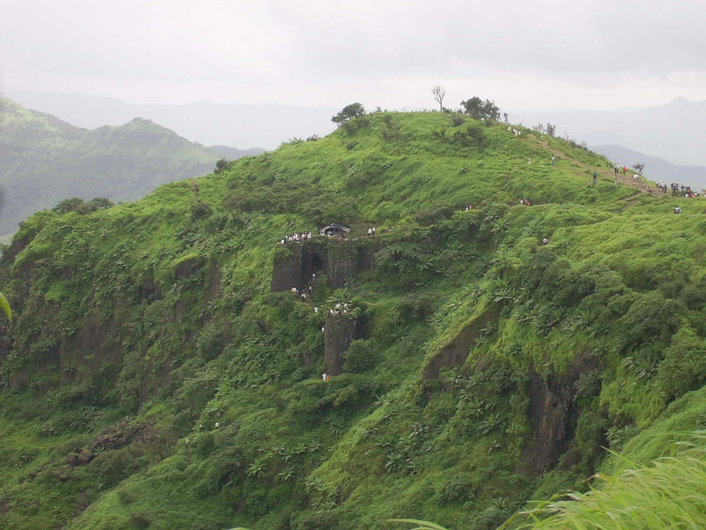
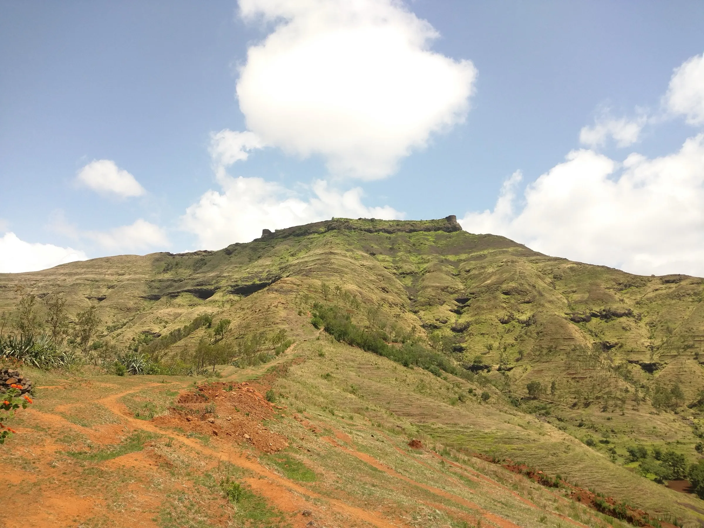
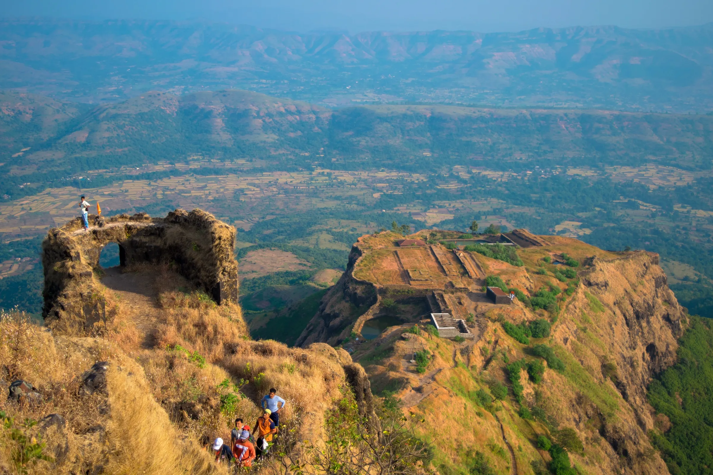
On the trail
The route
Day by day
Day 1 · highest point
Narayanpur → Narayanpur (via Murar Darwaja, Purandar Machi and the Balekilla)
880 m → 1,374 m → 880 m
Ups and downs
Altitude profile
Where it is
Map
Trailhead and high point only — not a recorded track. Use it with a proper map.
Weather
Next 5 days on the trail
Live forecast for the trailhead and the high point. Mountain weather changes fast — check again on the morning you start.
Trailhead · Narayanpur
at 880 mLoading forecast…
High point · Purandar Balekilla (Kedareshwar Mahadev mandir)
at 1,374 mLoading forecast…
Each day: high / low °C · rain mm and chance · snow cm · wind km/h
Weather data: Open-Meteo.comModel forecast, not an official warning. For alerts follow IMD and the local administration.
Plan the trip
How to reach
- Trailhead
- Narayanpur (nearest town: Saswad)
- Nearest railway
- Pune Junction
- Nearest airport
- Pune Airport (Lohegaon)
- By road
- Pune (about 45-51 km via Hadapsar or Dive Ghat and Saswad to Narayanpur; state buses and shared jeeps run to Narayanpur); Mumbai (via Pune; about 4-5 hours by road)
- Drive
- About 1.5 h from Pune
Plan the trip
Permits and fees
We could not confirm the current permit rules and fees from an official source. Check with the local forest department or tourism office before you go.
Plan the trip
Cost
Self-guided
₹200–700
With an operator
₹800–1,500
Per person, ex-Pune. Both ranges are our estimates: we found no operator currently selling a guided Purandar day trek with a published price, and no fort entry fee. Self-guided covers the state bus or shared jeep Pune-Saswad-Narayanpur and back plus tea and a pithla-bhakri meal at the stall near Purandeshwar mandir; the guided range is what Pune clubs typically charge for a one-day fort trek with transport. Driving yourself, your vehicle is checked at the Army post at Murar Darwaja.
Gear
Top picks for this trek
The gear that matters most on this route, chosen from its altitude, season and risks.
 Ad · affiliate link
 Ad · affiliate link
 Ad · affiliate link
 Ad · affiliate link
 Ad · affiliate link
 Ad · affiliate link
- Ad · affiliate link
 Ad · affiliate link
Store buttons open a search on that store, not a product we picked. As an Amazon Associate we earn from qualifying purchases. Photos show the kind of item, not a specific product. Affiliate disclosure
Packing checklist
Matched to this trek: altitude, season, days and the risks on the route.
Packed 0 of 18
Tick each item as it goes in the bag.
Know before you go
Good to know
- Mobile network
- Mobile signal around Narayanpur and on the Machi; phones and cameras are not allowed into the Balekilla (deposit them at the security post or leave them in the car).
- Last ATM
- Saswad, about 10 km before Narayanpur
- Nearest hospital
- Saswad (Purandar taluka headquarters), about 10-12 km from Narayanpur; larger hospitals in Pune
- Water
- Treks and Trails India says there is no water on the trail; carry at least 2 litres. Durgbharari reports drinking water and a restaurant near Purandeshwar mandir on the Machi.
Highlights
- Birthplace of Chhatrapati Sambhaji Maharaj, and the fort whose 1665 siege led to the Treaty of Purandar
- Statue and samadhi of Murarbaji Deshpande, the killedar who fell defending Purandar against Mirza Raja Jai Singh's army
- Purandeshwar Mahadev mandir on the Machi, renovated in the Peshwa period, with the Peshwa family's Rameshwar mandir behind it
- The three right-angled gates of the Balekilla (Dilli, Ganesh and Nishan Darwaja) and the Kedareshwar Mahadev mandir on the highest point
- Views east to the twin fort Vajragad and across the Sahyadri ranges
Risks
- Purandar and Vajragad are inside an Indian Army area. Entry is through the Army post at Murar Darwaja only; carry a government photo ID (Aadhaar or similar). Durgbharari and trek reports give visiting hours of 9 am to 5 pm, other listings differ, so check locally and be back down before closing.
- Vajragad (Rudramal), Bhairav Khind beyond the Shivaji Maharaj bust, Mahakal and Bavchi Machi, Kedar Darwaja and the Khandakada path are closed to visitors. Do not try the old footpaths or rappel routes; they are fenced off.
- Photography is prohibited in the Balekilla; mobile phones and cameras must be deposited at the security post or left in the car. Follow every instruction from Army staff.
- The fort can be closed at short notice: the administration, on the Army training centre's advice, closed Purandar to all visitors from 22 September to 10 October 2026 for road and valley repairs and crowd control. Check for a current notice before you go.
- Monsoon: slippery steps and road edges, fog and loose stones; the old village trail is muddy and overgrown and partly lost to landslides where the road was cut.
- Heavy weekend and holiday crowds because cars can drive up to the Machi; go early on a weekday.
Know before you go
Questions
Can I trek up Purandar from Narayanpur, or do I have to drive?
You can walk, but the old footpath to the gate is fenced off by the Army. Walkers now follow the tar road from Narayanpur (about 6-7 km and two hours one way) to the Murar Darwaja checkpost, then climb rock-cut steps from the Machi to the Balekilla. Cars can drive as far as the Machi.
What ID and timings apply at Purandar Fort?
The fort is in an Army area. Carry a government photo ID; your name and vehicle are checked at Murar Darwaja. Sources give visiting hours of 9 am to 5 pm, with some reports saying entry closes earlier on crowded days, so arrive in the morning.
Can I visit Vajragad?
No. Durgbharari reports that access to Vajragad and Bhairav Khind is strictly forbidden, and trekkers who used to rappel there say the Army no longer allows anyone in that direction.
Can I take photos at Purandar?
Not in the Balekilla. Photography is prohibited there, and phones and cameras must be deposited at the security post or left in the car before you climb.
When is the best time to visit Purandar?
Maharashtra Tourism calls winter the most comfortable season, with clear views; the monsoon is green and misty but slippery. Avoid the midday heat in April and May.
In an emergency
Save these numbers before you lose signal. Tap to call.
- 112All emergenciesIndia’s single emergency number — works in every state
- 108Ambulance
- 1077District disaster control room
You are in
District: PuneMaharashtra
- Nearest hospital
- Saswad (Purandar taluka headquarters), about 10-12 km from Narayanpur; larger hospitals in Pune
- Last ATM
- Saswad, about 10 km before Narayanpur
- Phone network
- Mobile signal around Narayanpur and on the Machi; phones and cameras are not allowed into the Balekilla (deposit them at the security post or leave them in the car).
Before you set off
- Tell someone your route and when you will be back.
- Carry a charged phone and a power bank.
- Download an offline map of the route.
- Turn back if the weather turns bad — the mountain will wait.
Questions about Purandar Fort
No questions yet. Ask something and trekkers who have done it can answer.
Share your trek photo with #TreksAndTrails
I trekked this
Did Purandar Fort look different from this page? Tell us what changed and we will check it.
Where this comes from
Sources
Last reviewed:
- Purandar - Department of Tourism Maharashtra — Department of Tourism, Government of Maharashtra (official)
- Purandar Fort — Wikipedia
- Purandar — Durg Bharari (durgbharari.in)
- Purandar Fort Trek near Pune — Treks and Trails India (treksandtrails.org)
- Monsoon trek to Purandar Fort — Whistling Trails (trip report)
- Purandar: Trip Report — SummitPost
- Purandar fort no entry from 22 September to 10 October (16 September 2026) — Navbharat Live
Photos: Ashwin Baindur, CC BY-SA 4.0; Abhijeet Safai, CC BY-SA 3.0; Aminsayyed, CC BY-SA 3.0