Rajgad Fort Trek
Pune, Maharashtra
Opens without signal on this phone, with the map file and checklist. Saved for offline →
- Max altitude
- 1,376 m
- Days
- 2 days
- Distance
- 10 km
- Difficulty
- Moderate
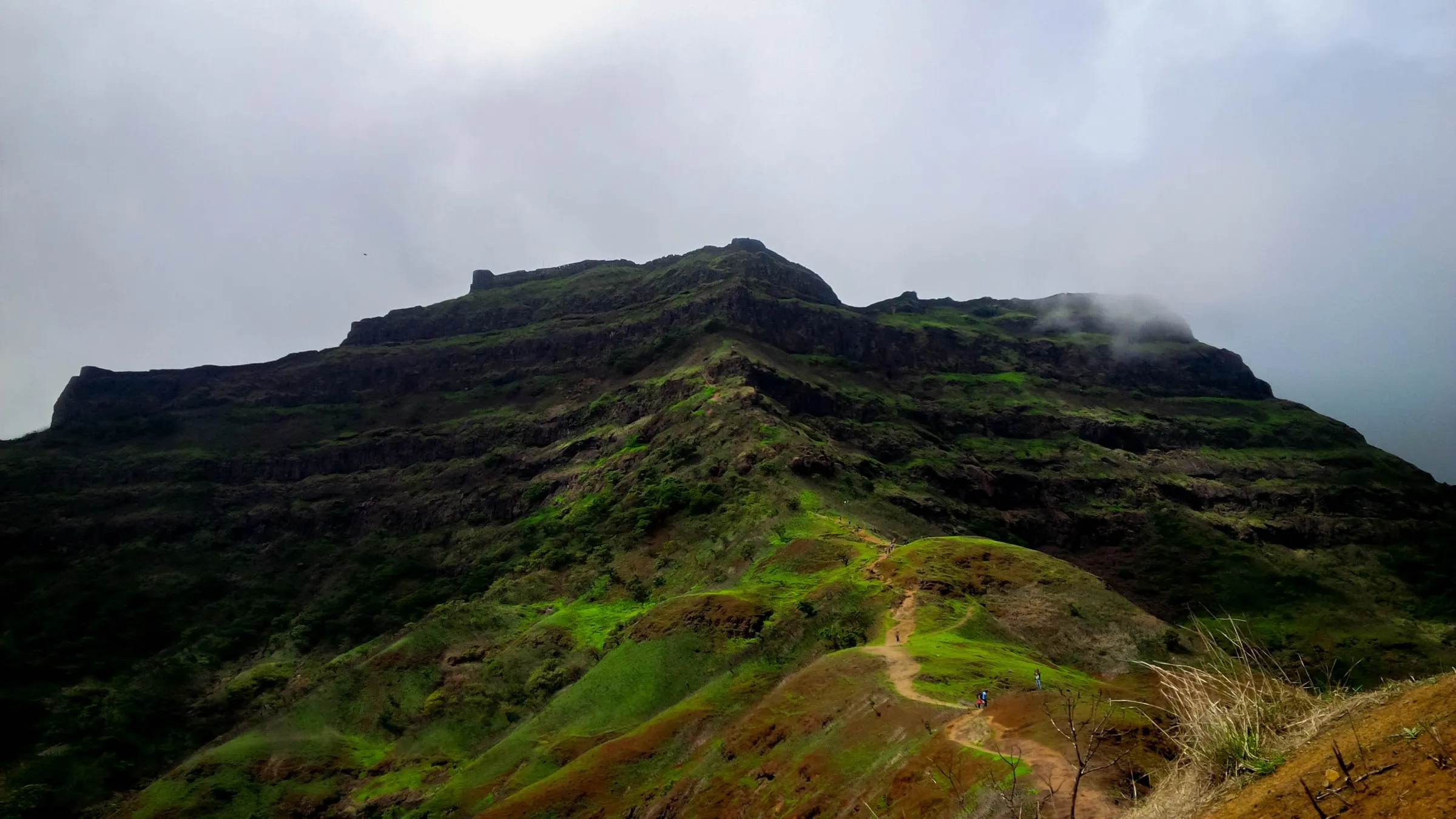
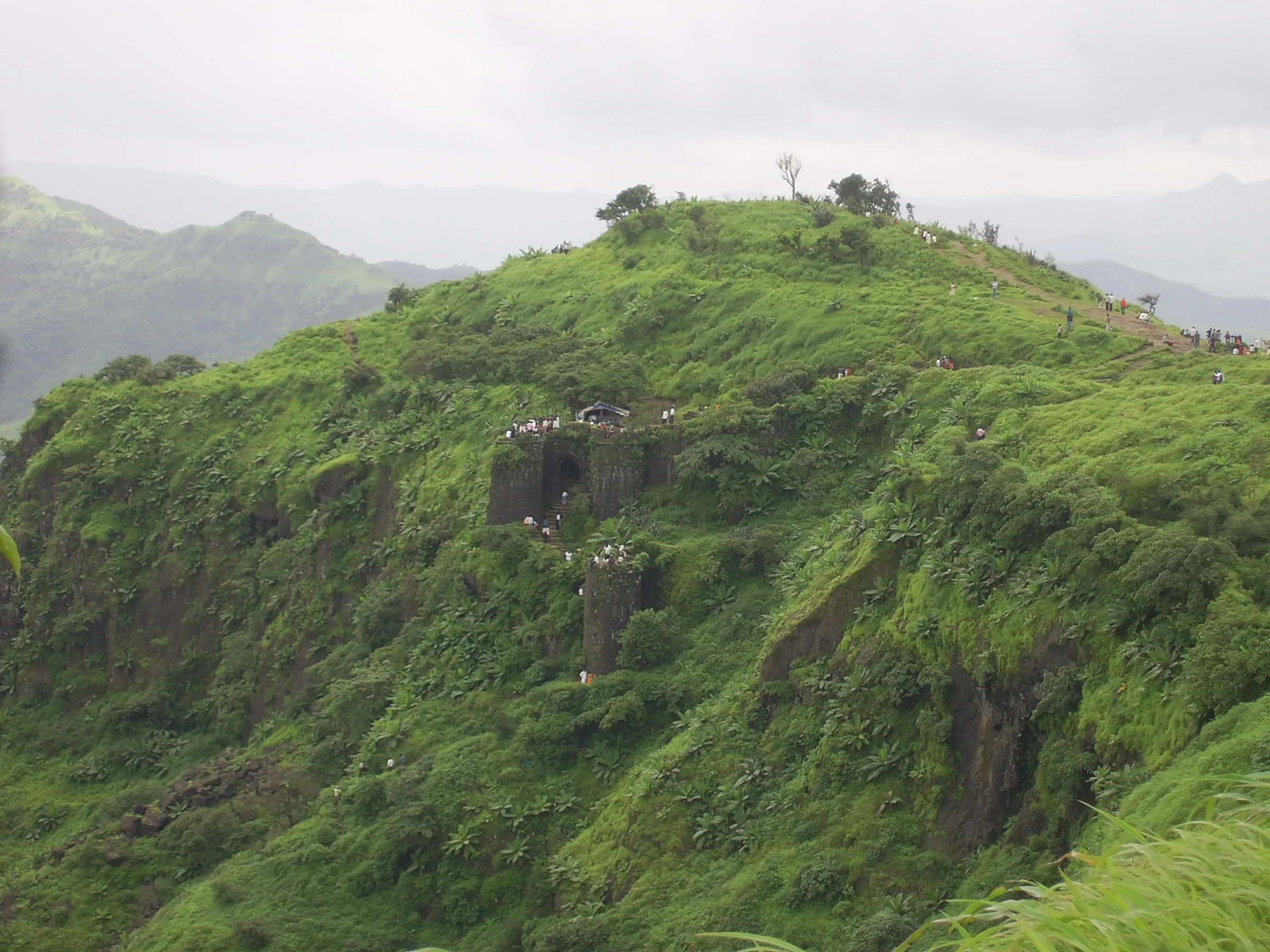
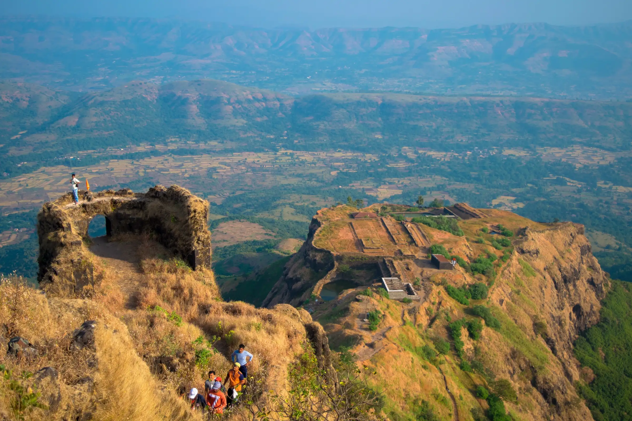
About 4 km and roughly 830 m of climbing from Gunjavane to the fort, ending in a steep natural-rock climb with metal railings to the Chor Darwaza; the Balekilla climb above uses fixed ropes on rock patches and is harder on the way down.
Photos
On the trail
The route
Day by day
Day 1
Gunjavane → Padmavati Machi, Rajgad Fort (via Chor Darwaza)
549 m → 1,220 m
Day 2 · highest point
Padmavati Machi → Gunjavane (via Balekilla)
1,220 m → 1,376 m → 549 m
Ups and downs
Altitude profile
Where it is
Map
Trailhead and high point only — not a recorded track. Use it with a proper map.
Weather
Next 5 days on the trail
Live forecast for the trailhead and the high point. Mountain weather changes fast — check again on the morning you start.
Trailhead · Gunjavane
at 549 mLoading forecast…
High point · Balekilla, Rajgad Fort
at 1,376 mLoading forecast…
Each day: high / low °C · rain mm and chance · snow cm · wind km/h
Weather data: Open-Meteo.comModel forecast, not an official warning. For alerts follow IMD and the local administration.
Plan the trip
How to reach
- Trailhead
- Gunjavane (nearest town: Velhe)
- Nearest railway
- Pune Junction
- Nearest airport
- Pune Airport (Lohegaon)
- By road
- Pune (about 60 km via Nasrapur, or by Swargate bus towards Velhe to Margasani, then shared taxi to Gunjavane); Mumbai (via Pune; about 4-5 hours by road)
- Drive
- About 2 h from Pune
Plan the trip
Permits and fees
We could not confirm the current permit rules and fees from an official source. Check with the local forest department or tourism office before you go.
Plan the trip
Cost
Self-guided
₹800–2,500
With an operator
₹1,400–2,000
Per person, ex-Pune. Guided prices published October 2026: Treks and Trails India (treksandtrails.org) ₹1,399 Pune-Pune (₹1,699 ex-Mumbai), Trekkers of India about ₹1,599 + 5% GST Pune-Pune; both are overnight-drive one-day climbs. Bikat Adventures sells a 2-day Rajgad and a 2-day Rajgad-Torna (₹3,500 + GST). Self-guided is an estimate: bus or shared cab from Pune (a group cab is about ₹2,000 round trip), village meals and an optional night at the Padmavati temple or a tent.
Gear
Top picks for this trek
The gear that matters most on this route, chosen from its altitude, season and risks.
 Ad · affiliate link
 Ad · affiliate link
 Ad · affiliate link
 Ad · affiliate link
 Ad · affiliate link
 Ad · affiliate link
 Ad · affiliate link
 Ad · affiliate link
Store buttons open a search on that store, not a product we picked. As an Amazon Associate we earn from qualifying purchases. Photos show the kind of item, not a specific product. Affiliate disclosure
Packing checklist
Matched to this trek: altitude, season, days and the risks on the route.
Packed 0 of 24
Tick each item as it goes in the bag.
Know before you go
Good to know
- Mobile network
- Signal at the base villages; Jio and Airtel intermittent on the trail; usable signal at the Balekilla; poor to none on the machis.
- Last ATM
- Nasrapur, about 22 km from Gunjavane
- Nearest hospital
- Primary Health Centre, Velhe (about 20 km from Gunjavane); Pune for serious cases
- Water
- Well at Gunjavane; snack hut on the plateau; well and cisterns near the Padmavati temple and the Chandrakor pond below the Balekilla. Outside the monsoon carry at least 2 litres from the base and treat water.
Highlights
- Capital of Chhatrapati Shivaji Maharaj's Swarajya for about 26 years, and a UNESCO World Heritage component site (Maratha Military Landscapes of India, 2025)
- Three fortified machis - Padmavati, Suvela and the double-walled Sanjivani - around the Balekilla citadel
- Overnight stay beside the Padmavati Devi temple, which shelters around 50 trekkers
- The Nedhe rock window and the elephant-shaped Hathi Prastar on Suvela Machi
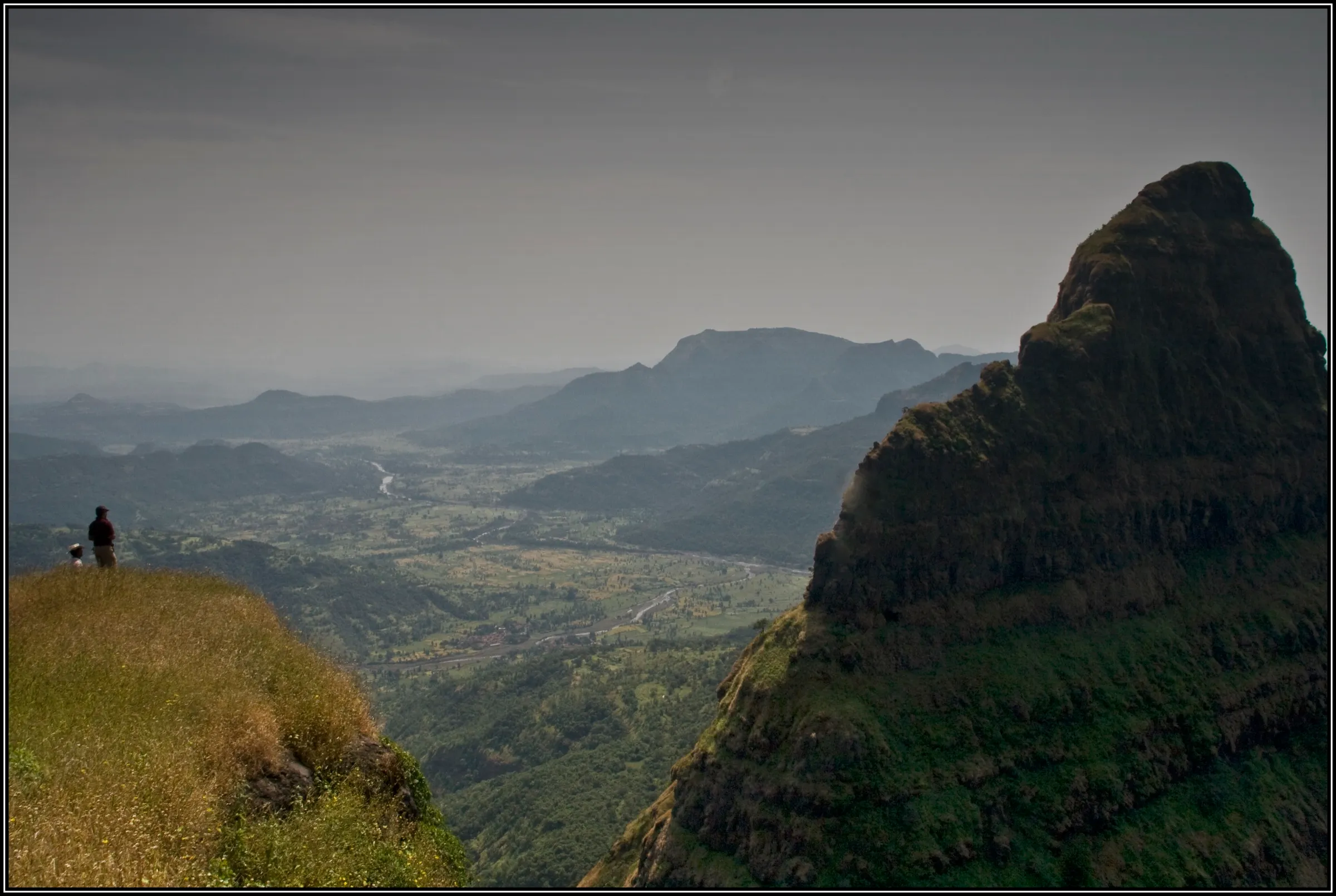
- On a clear day the Balekilla looks out over Torna, Sinhagad, Purandar, Pratapgad, Raigad and many other forts
Risks
- The final approach to the Chor Darwaza is steep natural rock with metal railings, and the Balekilla climb has rock patches with fixed ropes; the descent is harder than the climb. Indiahikes advises a helmet for the Balekilla because crowds above can knock loose stones down.
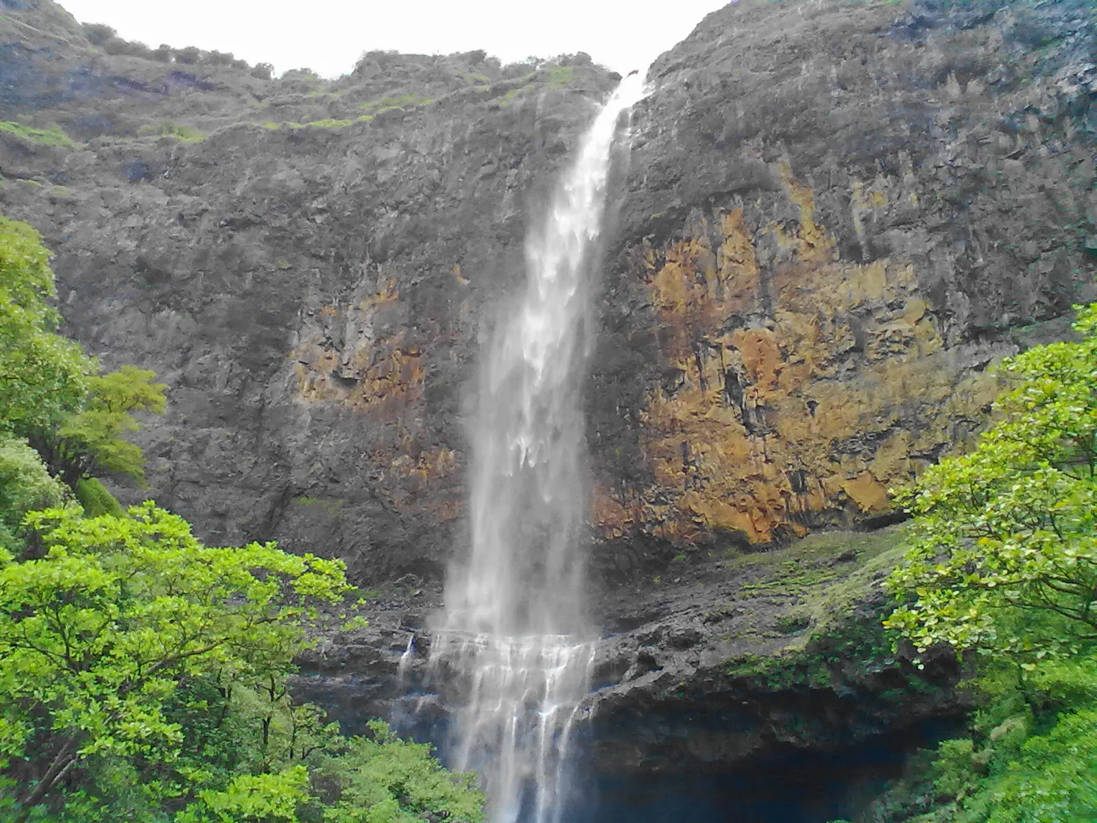
- Monsoon: mud and loose rock turn slippery, waterfalls run over the fort walls, and landslides and fog occur; in 2025 the area was formally closed from 22 June to 30 September.
- Weekend and Sunday crowds on the roped Balekilla section; skip it if many people are climbing ahead.
- Exposed ridges are very hot from mid-morning in March-June; start by 6 am and carry ORS.
- Few buses leave Gunjavane and Pali after 4 pm; plan the return.
- The Rajgad-Torna ridge traverse is long and has steep sections; go only with someone who knows the ridge.
Know before you go
Questions
How long is the Rajgad trek?
About 4 km one way from Gunjavane to the fort top (2.5-3.5 hours up). Exploring all three machis and the Balekilla adds roughly 5-7 km of walking on the fort, so allow a full day or stay overnight.
Is Rajgad suitable for beginners?
Yes, for fit beginners. Operators grade it easy to moderate. The Pali route is gentler; the Gunjavane route has a steep railed climb to the Chor Darwaza, and the Balekilla needs care on roped rock.
Can you stay overnight on Rajgad Fort?
Yes. The Padmavati temple on Padmavati Machi shelters about 50 people and tents can be pitched near it. Arrange meals with villagers at Gunjavane a day ahead.
When is the best time to visit Rajgad?
October to February, for dry trails and clear views of the surrounding forts. Monsoon is lush but slippery, and in 2025 the fort was closed to tourists from 22 June to 30 September by official order; check for a current order before going in the rains.
Do I need a permit for Rajgad?
Indiahikes says no formal permit is required. We could not find an official notice on fees after the 2025 UNESCO listing, so check locally.
In an emergency
Save these numbers before you lose signal. Tap to call.
- 112All emergenciesIndia’s single emergency number — works in every state
- 108Ambulance
- 1077District disaster control room
You are in
District: PuneMaharashtra
- Nearest hospital
- Primary Health Centre, Velhe (about 20 km from Gunjavane); Pune for serious cases
- Last ATM
- Nasrapur, about 22 km from Gunjavane
- Phone network
- Signal at the base villages; Jio and Airtel intermittent on the trail; usable signal at the Balekilla; poor to none on the machis.
Before you set off
- Tell someone your route and when you will be back.
- Carry a charged phone and a power bank.
- Download an offline map of the route.
- Turn back if the weather turns bad — the mountain will wait.
Questions about Rajgad Fort
No questions yet. Ask something and trekkers who have done it can answer.
Share your trek photo with #TreksAndTrails
I trekked this
Did Rajgad Fort look different from this page? Tell us what changed and we will check it.
Where this comes from
Sources
Last reviewed:
- Rajgad Trek - Trek to the Fort That Holds 26 Years of Maratha History — Indiahikes
- Rajgad Fort Trek from Pune ₹1,399 | Weekend Trek — Treks and Trails India (treksandtrails.org)
- Rajgad Fort Trek - Bikat Adventures — Bikat Adventures
- A DIY Guide to Rajgad Fort Trek — Bikat Adventures
- Rajgad Fort Trek — Trekkers of India
- Rajgad — Wikipedia
- Pune: Tourism Banned at Rajgad, Torna Forts, Madhe Ghat, and Dam Areas Until September 30 Due to Heavy Rainfall Risk — Punekar News
- Tourism Ban in Maharashtra's Most Popular Taluka for 3 Months; Forts and Waterfalls Declared No Entry Zone — Pune Pulse
Photos: Abhishek Thakur from Mumbai, India, CC BY-SA 2.0; Vijay Ambolkar, CC BY-SA 4.0; Chait83, CC BY-SA 4.0; Vinodsatre, CC BY-SA 4.0