Lingana Trek
Raigad, Maharashtra
Opens without signal on this phone, with the map file and checklist. Saved for offline →
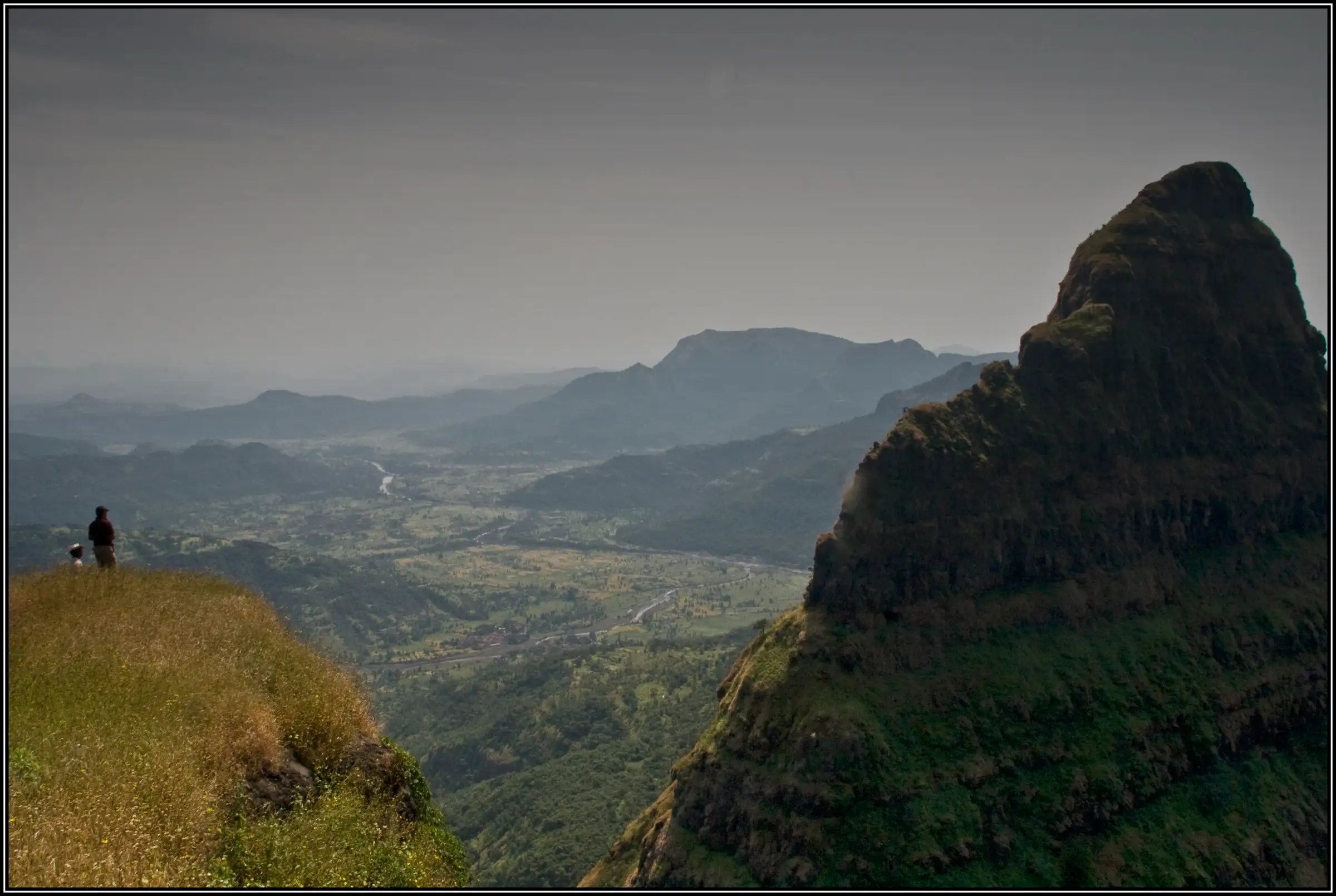
- Max altitude
- 935 m
- Days
- 2 days
- Distance
- 9 km
- Difficulty
- Challenging
Not a walking trek: after descending the steep, boulder-filled Boratyachi Nal (with a bolted rope traverse), the route is a roughly 1,000 ft technical rock climb on a bolted line with 1,000–1,500 ft drops on both sides, followed by long rappels. Harness, helmet, ropes and a qualified climbing team are essential.
Photos
On the trail
The route
Day by day
Day 1
Mohari village, Velhe → Lingana col (gorge between Rayling plateau and Lingana)
935 m → 630 m
Day 2 · highest point
Lingana col → Mohari village, Velhe
630 m → 905 m → 935 m
Ups and downs
Altitude profile
Where it is
Map
Trailhead and high point only — not a recorded track. Use it with a proper map.
Weather
Next 5 days on the trail
Live forecast for the trailhead and the high point. Mountain weather changes fast — check again on the morning you start.
Trailhead · Mohari village, Velhe
at 935 mLoading forecast…
High point · Mohari, on the Rayling plateau (Lingana summit is about 905 m)
at 935 mLoading forecast…
Each day: high / low °C · rain mm and chance · snow cm · wind km/h
Weather data: Open-Meteo.comModel forecast, not an official warning. For alerts follow IMD and the local administration.
Plan the trip
How to reach
- Trailhead
- Mohari village, Velhe
- Nearest railway
- Pune Junction
- Nearest airport
- Pune International Airport (Lohegaon)
- By road
- Pune to Velhe via Nasrapur or via Sinhagad road and Panshet (State Transport buses run from Swargate to Velhe); Velhe to Mohari via Varoti on a rough road; a jeep is best, otherwise about an hour on foot from where vehicles stop; Konkan side: Mahad to Pane village via Birwadi, for the Pane–Lingana Machi route
- Drive
- About 3 h from Pune
Plan the trip
Permits and fees
We could not confirm the current permit rules and fees from an official source. Check with the local forest department or tourism office before you go.
Plan the trip
Cost
Self-guided
₹1,000–2,500
With an operator
₹3,500–3,700
Per person, ex-Pune or ex-Mumbai. Treks and Trails India quotes Rs 3,500 for its Lingana fort climbing event and Mumbai Pune Adventure quotes Rs 3,700 for a 2-day, 1-night climb and rappel with transport, meals and climbing gear. The self-guided figure covers only bus or jeep travel and village meals for a team that already owns climbing ropes, harnesses and protection and has the skill to use them; it is not an option for trekkers without climbing experience.
Gear
Top picks for this trek
The gear that matters most on this route, chosen from its altitude, season and risks.
 Ad · affiliate link
 Ad · affiliate link
 Ad · affiliate link
 Ad · affiliate link
- Ad · affiliate link
 Ad · affiliate link
 Ad · affiliate link
 Ad · affiliate link
Store buttons open a search on that store, not a product we picked. As an Amazon Associate we earn from qualifying purchases. Photos show the kind of item, not a specific product. Affiliate disclosure
Packing checklist
Matched to this trek: altitude, season, days and the risks on the route.
Packed 0 of 25
Hot days in Mar: start at first light and carry extra water and ORS.
Tick each item as it goes in the bag.
Know before you go
Good to know
- Mobile network
- Not confirmed; expect weak or no signal in the Boratyachi Nal and on the climb
- Last ATM
- Velhe (check before leaving Pune; carry cash)
- Nearest hospital
- Velhe primary health facility; nearest full hospitals in Pune or Mahad
- Water
- Rock-cut well at Mohari, then none until the rock cisterns near the cave halfway up the pinnacle; operators say no water is available on the way back until Mohari, so carry at least 2–3 litres
Highlights
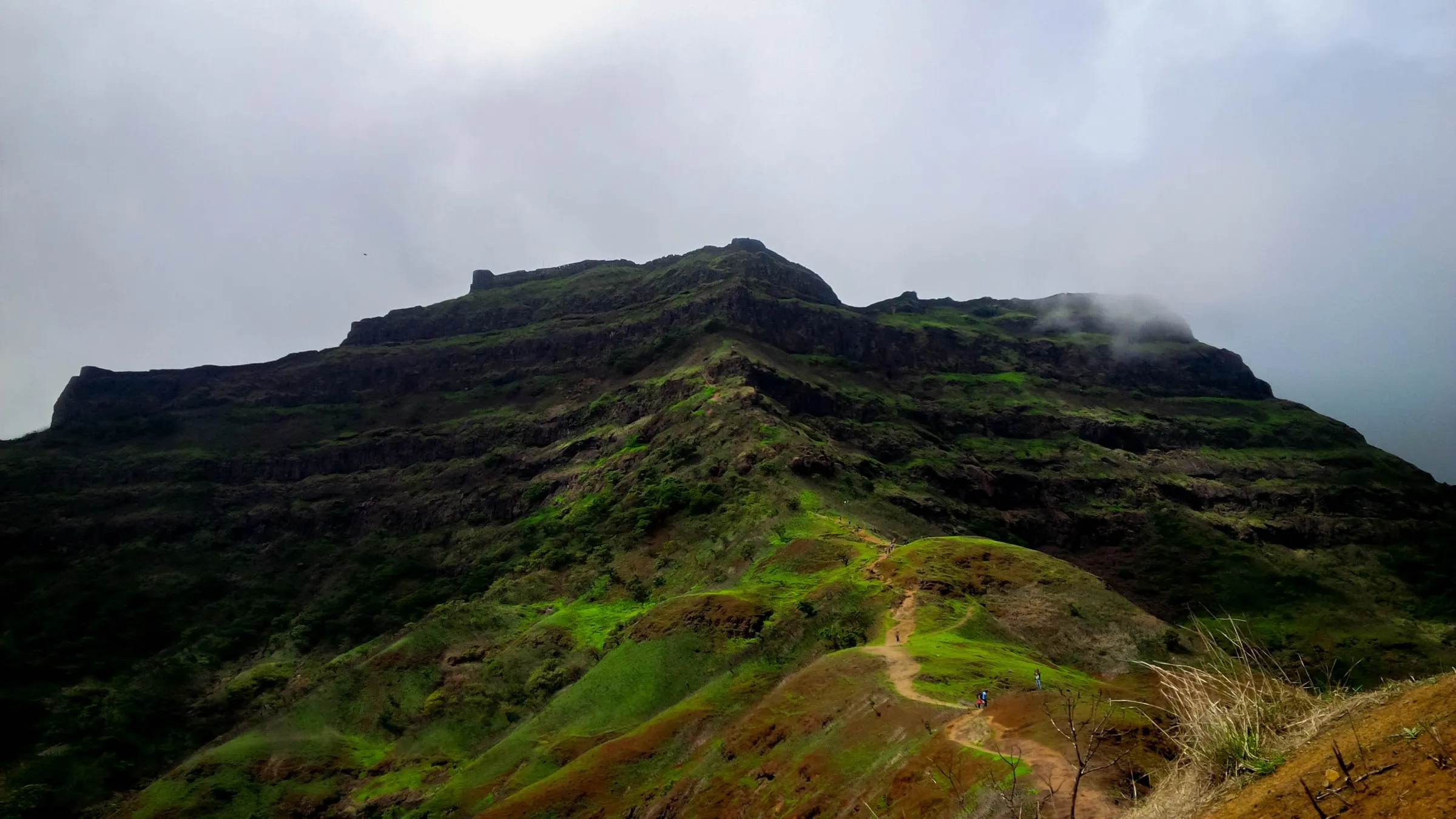
- One of the most technical natural rock climbs in the Sahyadri, on a bolted line up a linga-shaped pinnacle
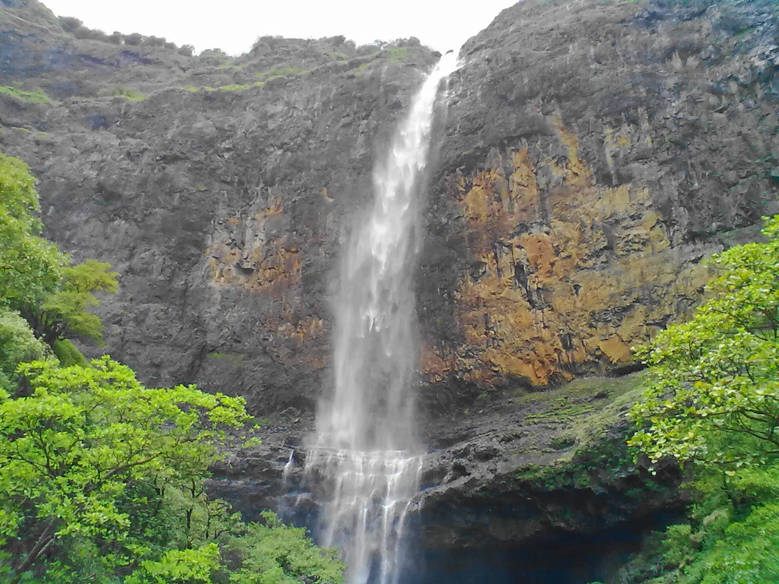
- Descent of the Boratyachi Nal gorge from the Rayling plateau to the base of the pinnacle
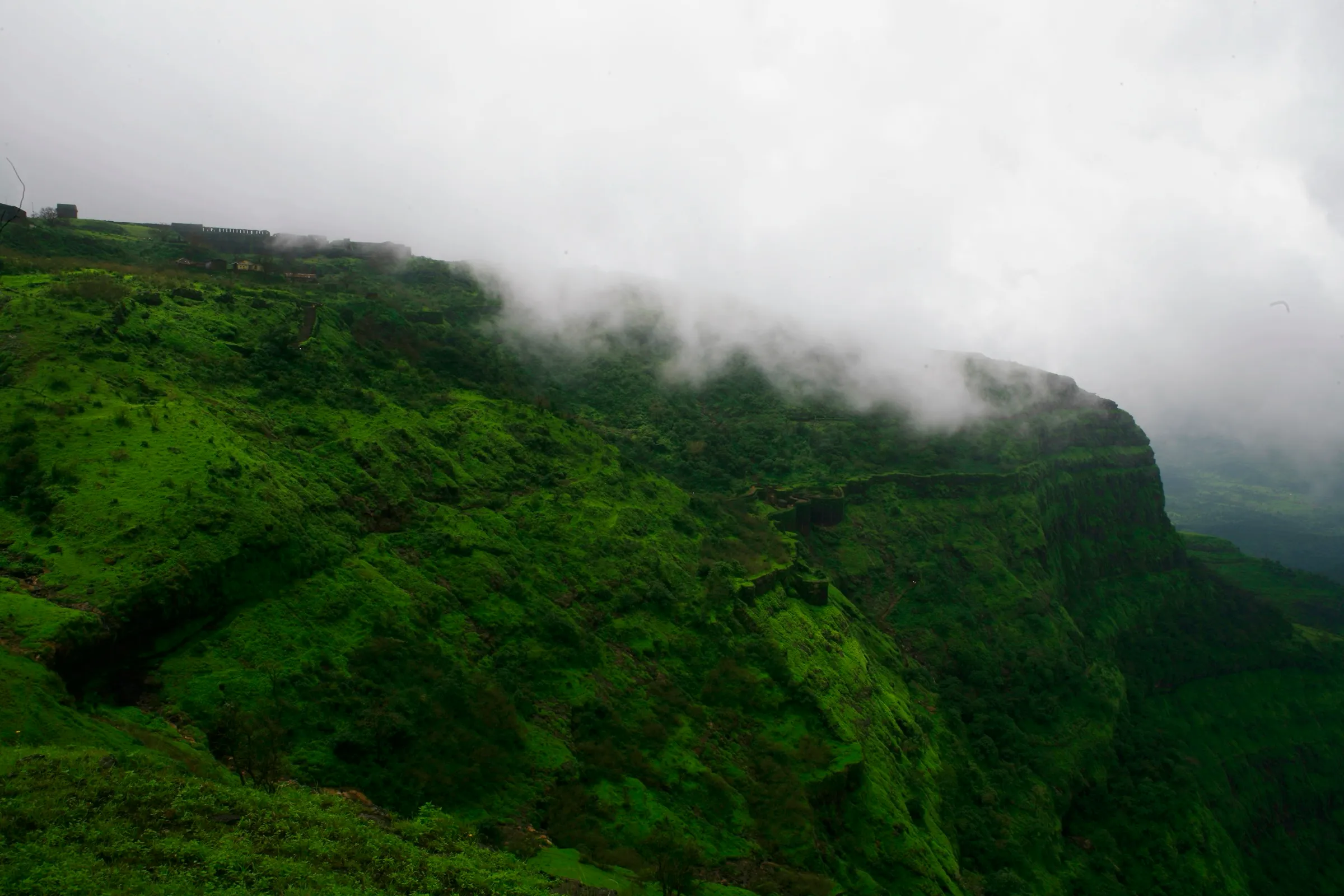
- Rock-cut caves and water cisterns from the old fort, built under Chhatrapati Shivaji Maharaj in 1648, and a Shivling carved in stone near a cistern
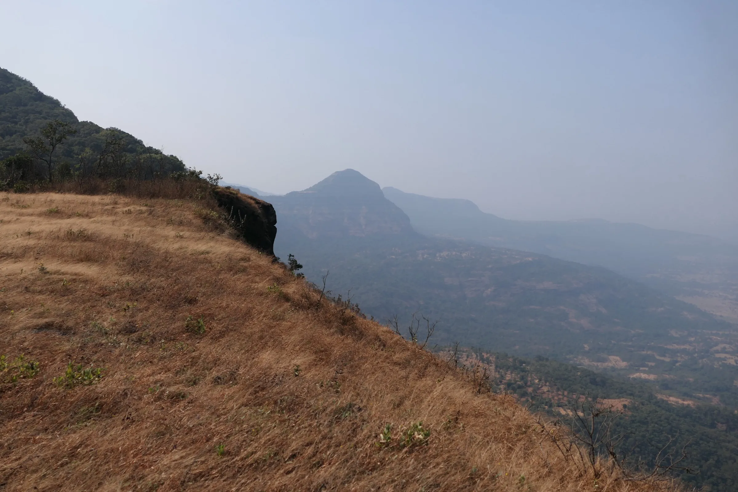
- Summit views of Raigad to the west and Torna and Rajgad to the northeast, with the Kal river valley far below
- Long rappels on the way down
Risks
- This is a technical rock climb, not a trek: it needs ropes, harness, helmet, slings and a qualified climbing team; do not attempt it without them
- Sheer drops of 1,000–1,500 ft on both sides of the climbing line; the margin for error is nil
- Boratyachi Nal is steep and full of loose boulders; the traverse into the col is hard to find and needs a rope on the bolted section
- No water between Mohari and the cave cisterns, and none on the return; climbing on hot rock later in the day is hard, so groups start before dawn
- Easy to lose the way on the Rayling plateau and in the Kol gorge, especially after dark
- Monsoon makes the rock and gorge slippery and is not the climbing season; in 2025 the Rajgad taluka authorities banned tourism at nearby forts (Rajgad, Torna) from 22 June to 30 September, so check current district orders before any monsoon visit
Know before you go
Questions
Can I do Lingana without rock-climbing experience?
Only with a qualified team that brings the gear and runs the ropes. The pinnacle needs harnesses, ropes and rappelling; even the approach from Mohari has a bolted traverse. Operators supply the equipment and instructors on their group climbs.
How high is Lingana and how long is the climb?
Sources give the top as 2,969 ft (about 905 m) above sea level. From the col below the pinnacle it is about 500 ft to the cave and about 400 ft more to the top; one operator describes roughly 1,000 ft of technical climbing and 700 ft of rappelling.
What is the best time to climb Lingana?
Operators recommend November to February or March, when the rock is dry. Start very early so you are not climbing on hot rock at midday.
How do I reach the base of Lingana?
From Pune, go to Velhe and on to Mohari or Singapur village, then walk about an hour across the Rayling plateau and descend the Boratyachi Nal to the col below the pinnacle. From the Konkan side, go from Mahad to Pane village and climb to Lingana Machi.
Is there water on the route?
Fill up at the rock-cut well in Mohari. There is no water until the cisterns near the cave halfway up the pinnacle, and operators warn there is none on the way back to Mohari.
In an emergency
Save these numbers before you lose signal. Tap to call.
- 112All emergenciesIndia’s single emergency number — works in every state
- 108Ambulance
- 1077District disaster control room
You are in
District: RaigadMaharashtra
- Nearest hospital
- Velhe primary health facility; nearest full hospitals in Pune or Mahad
- Last ATM
- Velhe (check before leaving Pune; carry cash)
- Phone network
- Not confirmed; expect weak or no signal in the Boratyachi Nal and on the climb
Before you set off
- Tell someone your route and when you will be back.
- Carry a charged phone and a power bank.
- Download an offline map of the route.
- Turn back if the weather turns bad — the mountain will wait.
Questions about Lingana
No questions yet. Ask something and trekkers who have done it can answer.
Share your trek photo with #TreksAndTrails
I trekked this
Did Lingana look different from this page? Tell us what changed and we will check it.
Where this comes from
Sources
Last reviewed:
- Lingana Raigad Trek — Indiahikes
- Lingana Fort Climbing — Treks and Trails India
- Lingana Fort Climbing And Rappelling Tour — Mumbai Pune Adventure
- LINGANA — Durgbharari
- Lingana — Wikipedia
Photos: rohit gowaikar, CC BY-SA 2.0; Shailesh 1410, CC BY-SA 4.0