Raigad Fort Trek
Raigad, Maharashtra
Opens without signal on this phone, with the map file and checklist. Saved for offline →
- Max altitude
- 862 m
- Days
- 1 day
- Distance
- 6 km
- Difficulty
- Moderate
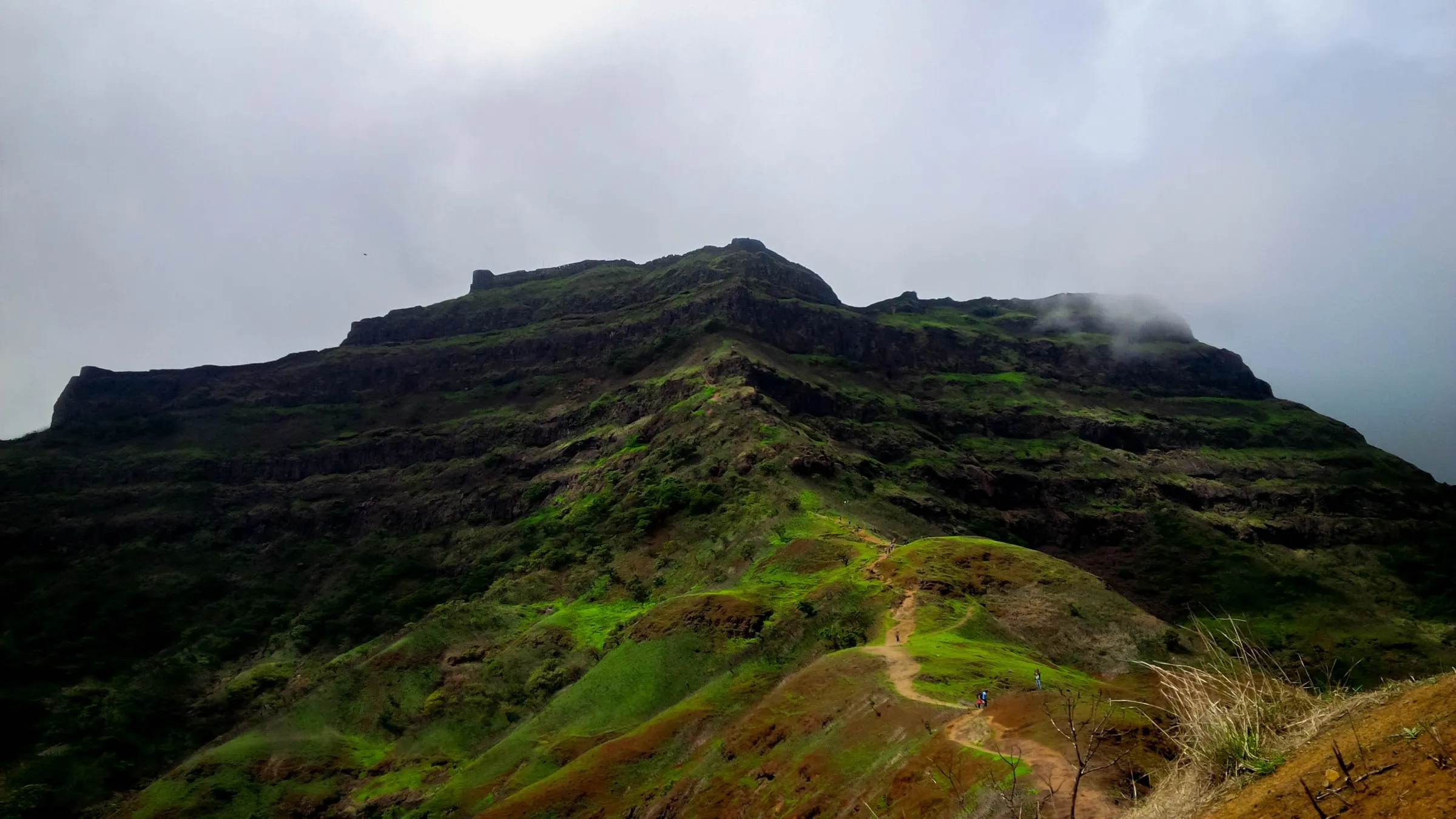
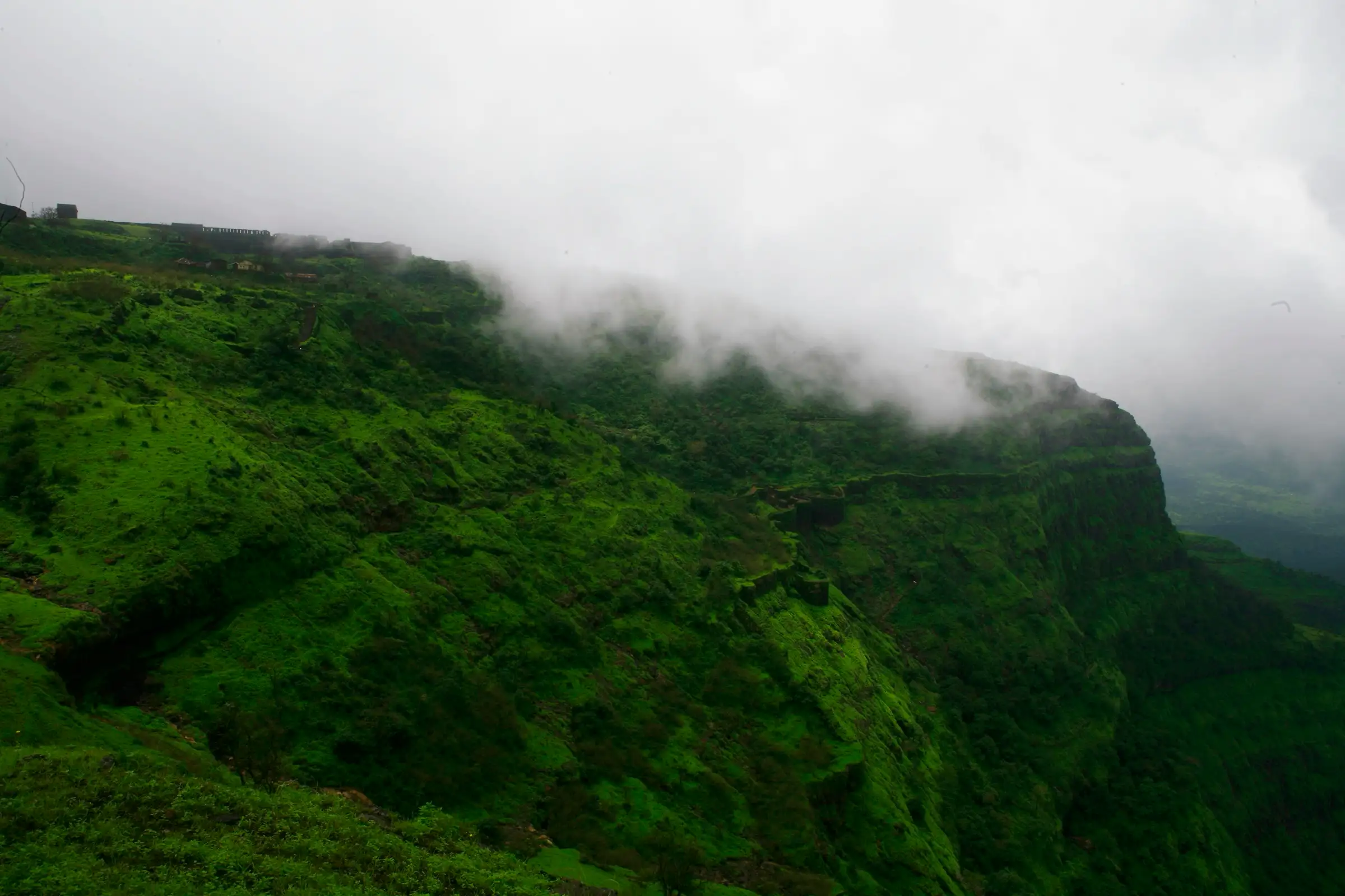
A stone stairway of roughly 1,500 steps (Wikipedia says about 1,737) climbs some 500 m from Pachad through the Chit Darwaja, Nane Darwaja and Maha Darwaja; about two hours up on a well-made path, but long, steep, hot outside the monsoon and slippery in rain.
Photos
On the trail
The route
Day by day
Day 1 · highest point
Pachad (Chit Darwaja) → Pachad, via Maha Darwaja and the fort top
323 m → 862 m → 323 m
Ups and downs
Altitude profile
Where it is
Map
Trailhead and high point only — not a recorded track. Use it with a proper map.
Weather
Next 5 days on the trail
Live forecast for the trailhead and the high point. Mountain weather changes fast — check again on the morning you start.
Trailhead · Pachad (Chit Darwaja)
at 323 mLoading forecast…
High point · Raigad top, near the Jagdishwar Mandir
at 862 mLoading forecast…
Each day: high / low °C · rain mm and chance · snow cm · wind km/h
Weather data: Open-Meteo.comModel forecast, not an official warning. For alerts follow IMD and the local administration.
Plan the trip
How to reach
- Trailhead
- Pachad (Chit Darwaja) (nearest town: Mahad)
- Nearest railway
- Veer (Konkan Railway, Raigad district), the nearest station to Mahad; Mumbai and Pune for long-distance trains
- Nearest airport
- Pune Airport (Lohegaon)
- By road
- Mahad (about 20-25 km to Pachad by road; buses and shared jeeps run from Mahad); Mumbai (about 170 km via the Mumbai-Goa highway and Mahad); Pune (about 130-150 km by road)
- Drive
- About 4 h from Pune
Plan the trip
Permits and fees
We could not confirm the current permit rules and fees from an official source. Check with the local forest department or tourism office before you go.
Plan the trip
Cost
Self-guided
₹800–2,500
With an operator
₹1,600–1,700
Per person, ex-Pune or ex-Mumbai. Guided prices published October 2026: Treks and Trails India (treksandtrails.org) ₹1,599 ex-Pune and ₹1,699 ex-Mumbai; Mischief Treks ₹1,600 with Mumbai pickup or ₹850 if you reach the base village yourself. Both are overnight-drive one-day trips. Self-guided is an estimate: MSRTC bus to Mahad, a shared jeep to Pachad, meals at Pachad or on the fort, plus the ropeway if you ride one way (fare not confirmed; check at the ropeway).
Gear
Top picks for this trek
The gear that matters most on this route, chosen from its altitude, season and risks.
 Ad · affiliate link
 Ad · affiliate link
 Ad · affiliate link
 Ad · affiliate link
 Ad · affiliate link
 Ad · affiliate link
- Ad · affiliate link
 Ad · affiliate link
Store buttons open a search on that store, not a product we picked. As an Amazon Associate we earn from qualifying purchases. Photos show the kind of item, not a specific product. Affiliate disclosure
Packing checklist
Matched to this trek: altitude, season, days and the risks on the route.
Packed 0 of 17
Tick each item as it goes in the bag.
Know before you go
Good to know
- Mobile network
- Not confirmed by our sources; expect signal in Pachad and on the open fort top, patchy on the stairway.
- Last ATM
- Mahad, about 20-25 km from Pachad
- Nearest hospital
- Primary Health Centre, Pachad (at the base); Mahad for further care
- Water
- Small eateries at Pachad; Ganga Sagar lake and other tanks on the fort are not drinking water. Carry at least 2 litres from the base, more in March-May.
Highlights
- Capital of Chhatrapati Shivaji Maharaj's Hindavi Swarajya and the place of his coronation in 1674; one of the twelve component forts of the UNESCO World Heritage Site 'Maratha Military Landscapes of India' (inscribed 2025)
- A historic stone stairway from Pachad through the Chit Darwaja and Nane Darwaja to the great Maha Darwaja, flanked by tall bastions
- The Raj Sadar with the replica throne facing the Nagarkhana Darwaja, the queens' quarters, the watchtowers and the old market street
- Darshan at the Jagdishwar Mandir of Bhagwan Shiva, and the samadhi of Chhatrapati Shivaji Maharaj beside it
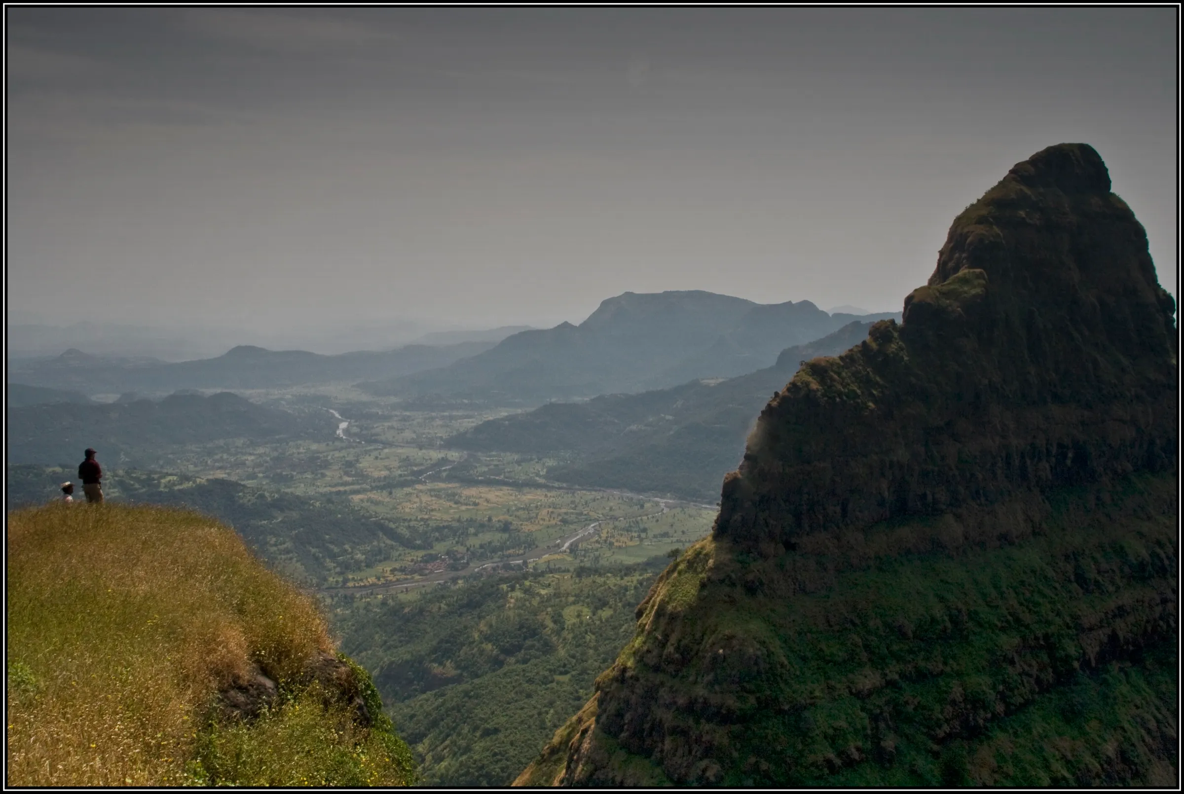
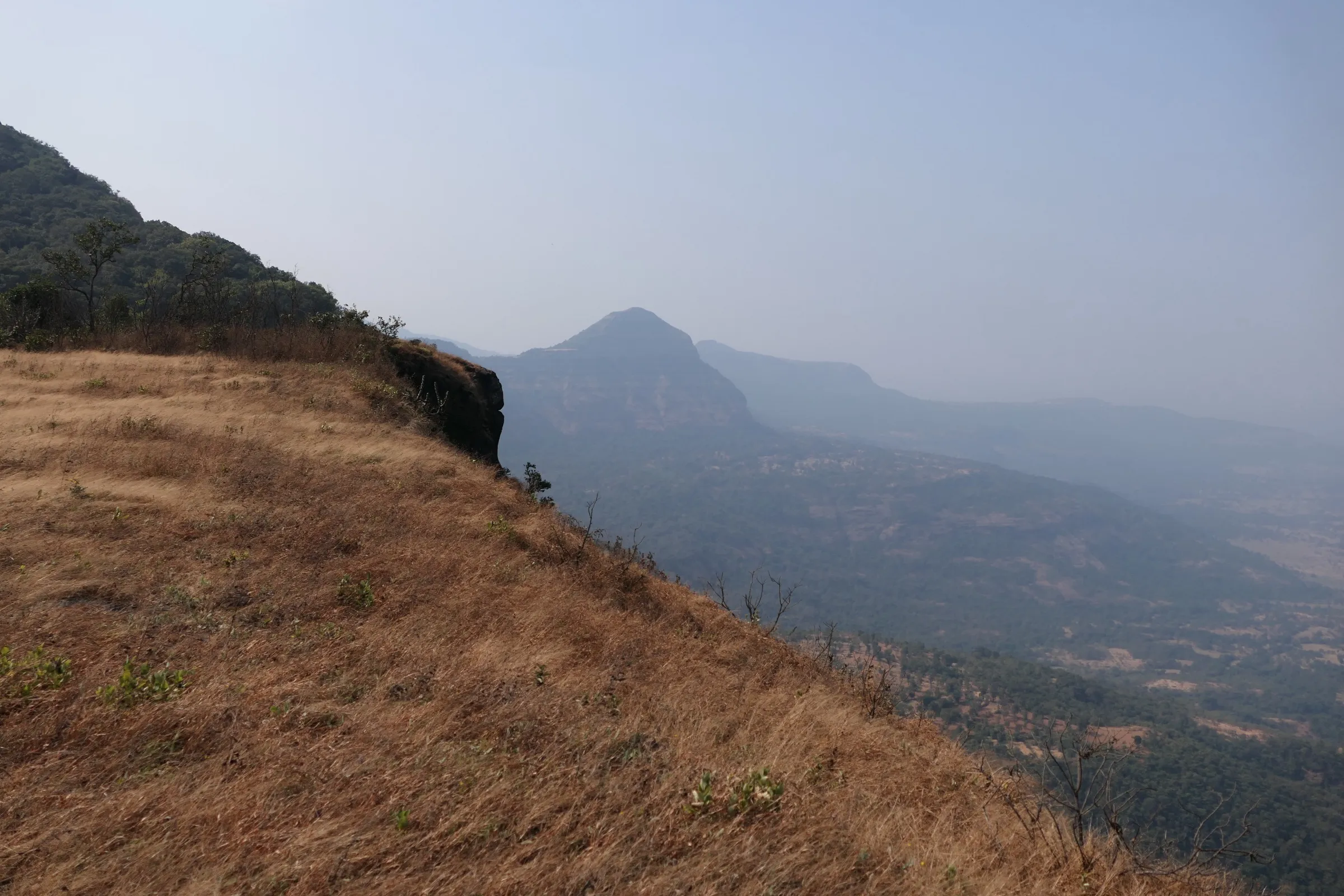
- Takmak Tok and the Hirkani Buruj cliffs, with wide views over the surrounding Sahyadri
- Rajmata Jijabai's samadhi at Pachad, the base village
Risks
- Monsoon (June-September): the stairway turns slippery and landslides do happen. In July 2024 heavy rain stranded visitors on the fort and the district closed it; in June 2026 boulders fell on the stairway between the Maha Darwaja and Madar Morcha and the Mahad tehsil closed the route for clearance. Check for a current closure before a monsoon visit and follow any order.
- Long, steep stone stairway with some exposed cliff edges near Takmak Tok and the Hirkani Buruj; stay behind the fencing.
- Very hot on the open stairway from mid-morning in March-May; start by 6 am and carry water and ORS.
- Large crowds on the Shivrajyabhishek (coronation) anniversary in June, when thousands visit the fort; expect busy stairs and ropeway queues.
- The ropeway is an alternative for people who cannot climb, but like any ropeway it may pause in bad weather; be ready to walk down.
Know before you go
Questions
How many steps are there to Raigad Fort?
Operators and guides quote about 1,500 stone steps from Pachad; Wikipedia gives about 1,737. The climb takes around two hours at a steady pace.
Can I take the ropeway instead of trekking to Raigad?
Yes. The Raigad Ropeway, run by the Shri Shivaji Raigad Smarak Mandal since 1996, lifts visitors about 400 m in roughly four minutes from near Hirkaniwadi. Many people ride one way and walk the stairway the other.
How long does the Raigad trek take?
About two hours up and two hours down. With a guided walk around the fort, plan a full day; operators start at Pachad around 5:30-7 am and are back at the base by mid-afternoon.
What is the best time to visit Raigad?
October to February is cool and dry. Operators also run monsoon treks for the greenery, but the stairway is slippery then and has been closed after heavy rain or landslides, so check for a current order.
Is Raigad a UNESCO World Heritage Site?
Yes. In 2025 Raigad was inscribed as one of the twelve component parts of 'Maratha Military Landscapes of India'. It is protected by the Archaeological Survey of India.
Is the Raigad trek suitable for beginners?
Yes, for reasonably fit beginners. Treks and Trails India grades it moderate and Mischief Treks easy; it is a well-made stairway, not a rock climb, but it is long and steep.
In an emergency
Save these numbers before you lose signal. Tap to call.
- 112All emergenciesIndia’s single emergency number — works in every state
- 108Ambulance
- 1077District disaster control room
You are in
District: RaigadMaharashtra
- Nearest hospital
- Primary Health Centre, Pachad (at the base); Mahad for further care
- Last ATM
- Mahad, about 20-25 km from Pachad
- Phone network
- Not confirmed by our sources; expect signal in Pachad and on the open fort top, patchy on the stairway.
Before you set off
- Tell someone your route and when you will be back.
- Carry a charged phone and a power bank.
- Download an offline map of the route.
- Turn back if the weather turns bad — the mountain will wait.
Questions about Raigad Fort
No questions yet. Ask something and trekkers who have done it can answer.
Share your trek photo with #TreksAndTrails
I trekked this
Did Raigad Fort look different from this page? Tell us what changed and we will check it.
Where this comes from
Sources
Last reviewed:
- Raigad Fort Trek | Treks near Mumbai & Pune — Treks and Trails India (treksandtrails.org)
- Raigad Fort Trek From Mumbai | Mischief Treks — Mischief Treks
- Raigad Fort Trek: All You Need to Know — Bajaj Finserv
- Raigad Fort — Wikipedia
- Maratha Military Landscapes of India — UNESCO World Heritage Centre (official)
- Forts in Raigad District — District Raigad, Government of Maharashtra (official)
- Landslide Forces Closure Of Raigad Fort Stairway Until June 25, Emergency Clearance Work Underway — Free Press Journal
- Tourists, trekkers stuck at Raigad fort evacuated amid heavy rains in Maharashtra — Deccan Herald (PTI)
Photos: Chetan Karkhanis, CC BY-SA 3.0; rohit gowaikar, CC BY-SA 2.0; Nitin Darekar, CC BY-SA 3.0; Rajalakshendra, CC BY-SA 4.0